Sierra High Route
↓
Aug 25, 2016
Quick Links
Map
Trail Overview
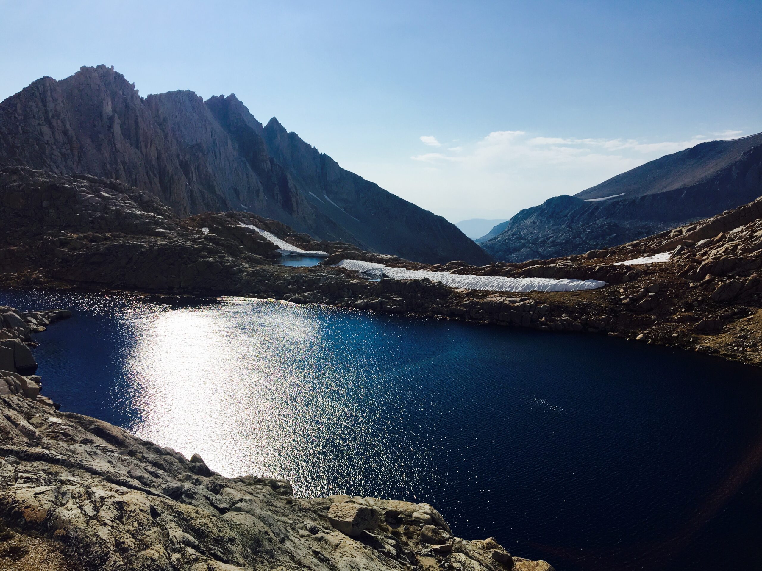
The Sierra High Route is a 195-mile off-trail route through California’s High Sierra. It starts at Roads End in Kings Canyon National Park and ends at Twin Lakes near Bridgeport. The route follows Steve Roper’s book, The Sierra High Route: Traversing Timberline Country.
Most of the route is off-trail, though it occasionally follows the John Muir Trail and other smaller use trails. Because it is mostly off-trail, hikers need strong backcountry navigation skills. Additionally, the route passes through challenging alpine terrain.
Experience
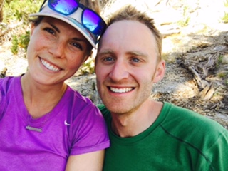
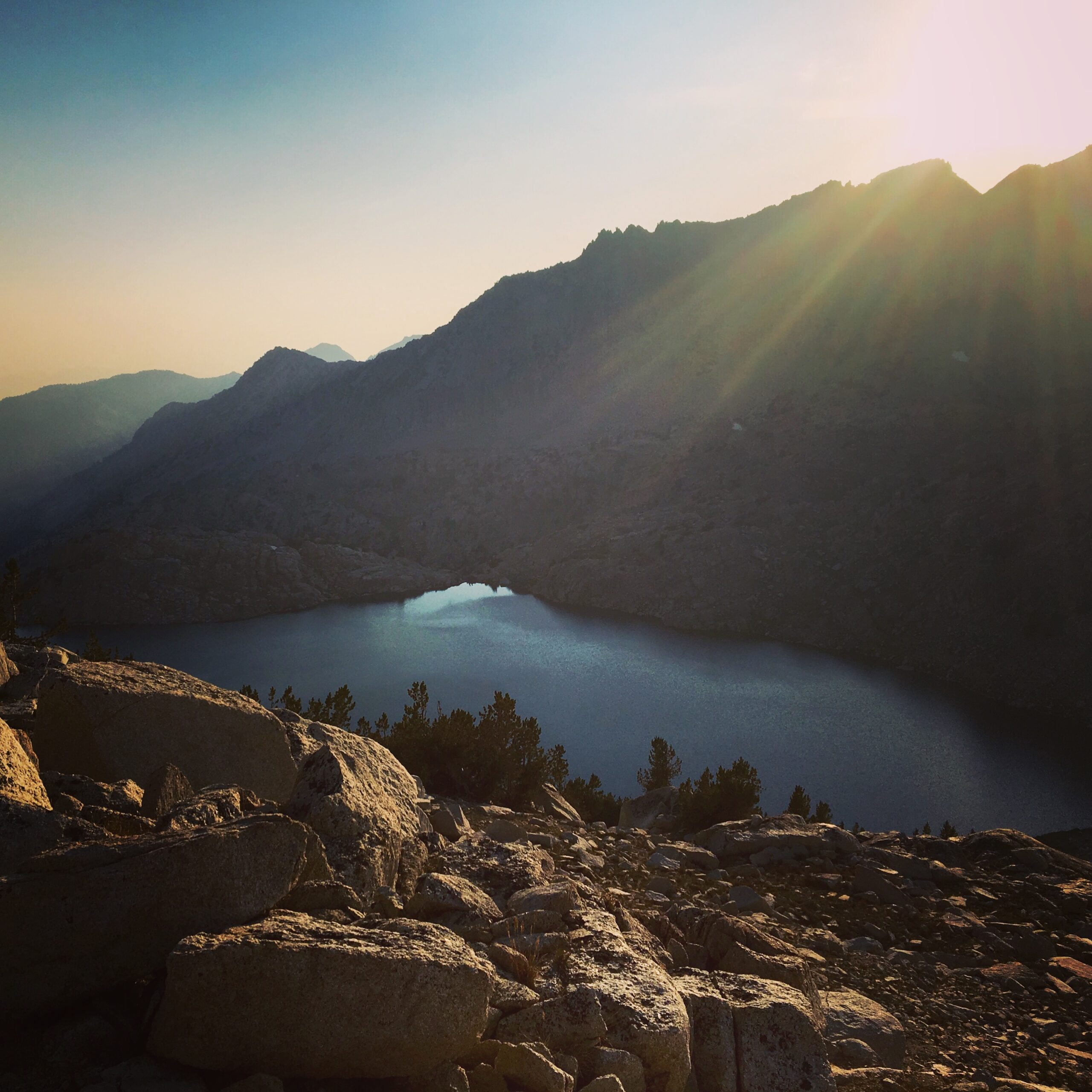
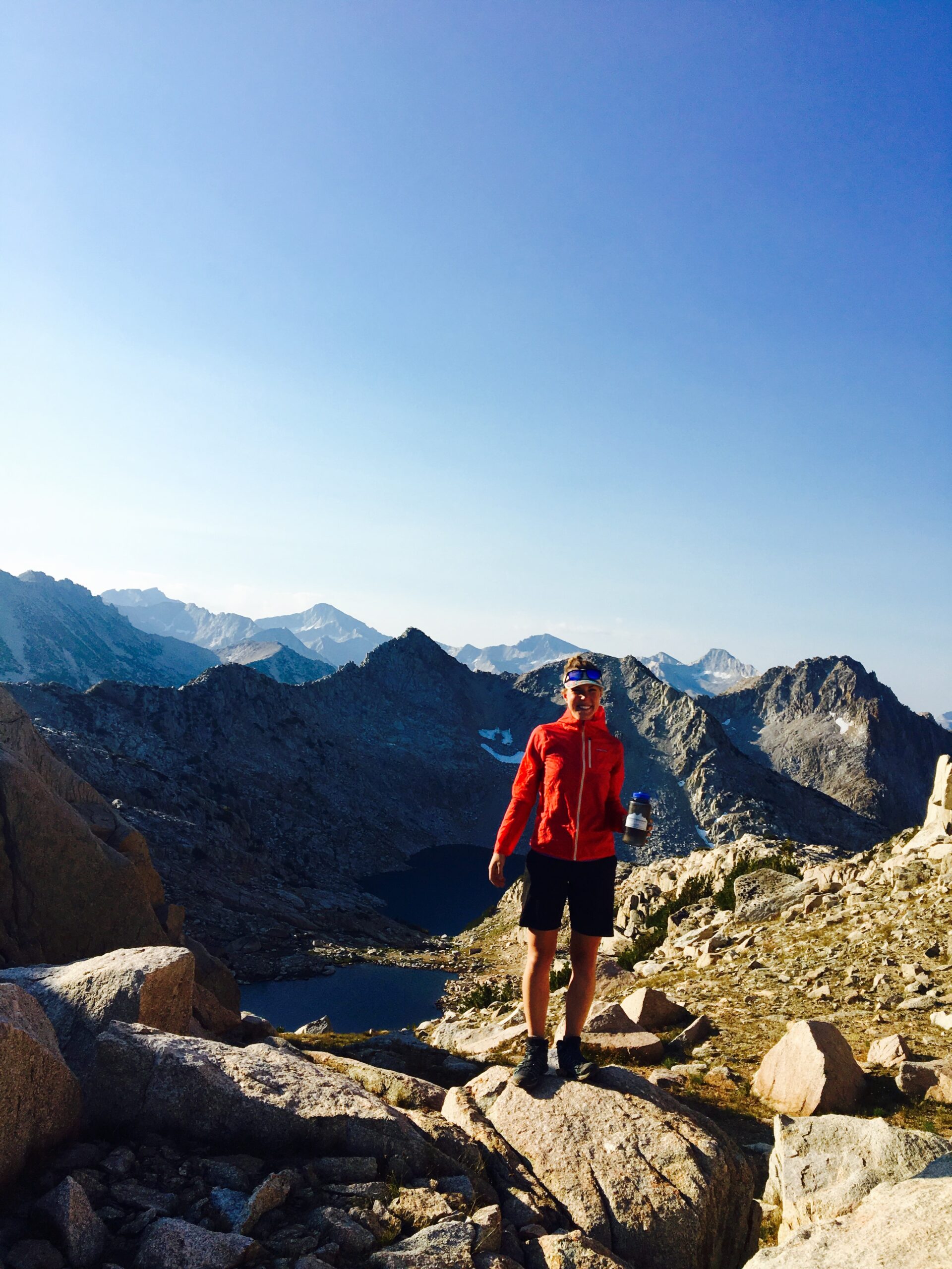
We had an incredible time on the Sierra High Route. We hiked it in August of 2016 and it took us about twelve and a half days. It was our first “real” thru hike of any kind that we had done together and we really appreciated getting to know the Sierra Nevada mountain range a little bit better. We would say that it was definitely challenging and physically exhausting, but the navigation intensive part of the route kept us very engaged with our surroundings. We walked south to north for this trip. If we were to do the route again (which we hope to do), our plan is to walk north to south and add in the Southern Sierra High Route that was developed by Alan Dixon. To see the breakdown of days hiked and where we camped you can see the map below! Check out our photos at the bottom!
Low’s
As with most hiking trips, we had many high and low moments. Some lows we experienced were sore muscles – our hips hurt most of the time from balancing on endless talus fields, and Jeff running low on food (thank the universe for the Tuolumne General Store).
High’s
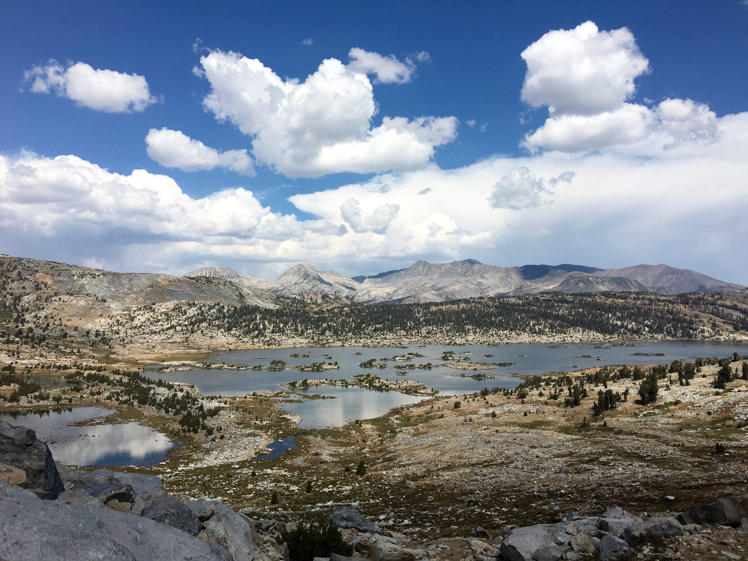
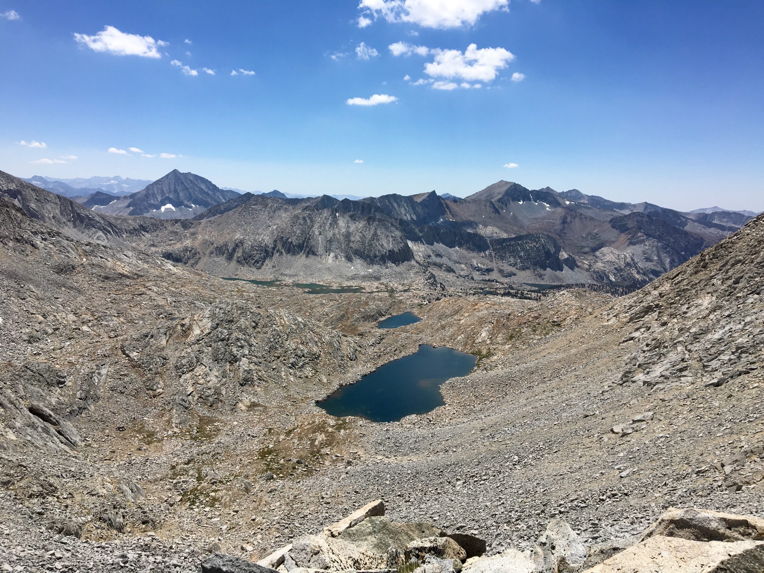
Some highs included traveling through Humphrey’s Basin, the “Bear Lakes” area, the Minarets, running from a thunderstorm over Glacier Pass by Mount Ritter, and Sky Pilot Pass.
Logistics
Time to Hike
The best time to hike the route is probably July – October. That way the snow has had some time to melt and the passes won’t be as dangerous. It seems as if most people allow 2-3 weeks to do the route moving at an “average” pace. Experienced and fit backpackers may be able to complete the route in under 2 weeks, depending on the person. Because everyone is different, we often return to the phrase “hike your own hike.” If you are interested in a different kind of challenge, some folks have also hiked the route in Winter.
Maps
There is a great deal of information out there on the Sierra High Route.
There are multiple places to find maps for the route. In the back of Roper’s book, he provides a black and white map set that can be printed for use. These maps seem to be lacking detail. There is also a map on CalTopo that shows the whole route which could be printed for use (you must have a membership to print and create your own maps). Additionally, a few well known hikers have created map sets and data books for the route that are downloadable by purchase or for free. Check out Andrew Skurka’s information.
Permits
To obtain a permit you must apply through the National Park Service. We recommend reserving a permit ahead of time, but if your dates are flexible and you are unable to reserve one in advance, one-third of all permits are saved for walk ins – so you may have luck there.
Transportation
Getting to the southern terminus of the route can be difficult. One option is to take Big Trees transit from the Fresno Airport up into Kings Canyon National Park and then hitch a ride down to Road’s End. If you have a vehicle you could leave it at Road’s End, but it may be challenging to get back to it because you finish the route on the other side of the Sierra.
At the northern terminus you can easily hitch a ride to Bridgeport and then work something out with Eastern Sierra Transit, a private driver on the East Side, or hitch a ride to wherever you need to go. The Eastern Sierra Transit will take you all the way to Reno – if flying out from there works for you. Another useful public transportation service in the area is YARTS – they may be helpful in getting back over to the Western slope through Tuolumne Meadows.
Food & Resupplies
The main point for a resupply on the Sierra High Route is Red’s Meadow. The route takes you directly through this location and you are able to send a box to them for a fee, or you can catch a shuttle down to Mammoth Lakes, CA where there is a grocery store and ample restaurants and services. Another option for a resupply along the route is to follow the Bishop Pass Trail from Dusy Basin down to South Lake and then hitch a ride into Bishop, have someone meet you, or do your best at the Bishop Creek Lodge down the road (they may take packages…). This second option would add significant time to your trip – account for an extra day to do this. Due to the remote nature of this route the resupply points can be logistically intensive if you are planning on something other than Red’s Meadow. Because the Sierra High Route passes through so much of the Sierra, a Bear Canister is required to be carried by all overnight backcountry travelers. Certain parts of the Sierra do allow an alternative carrying method, such as an Ursack.
Resources & Links
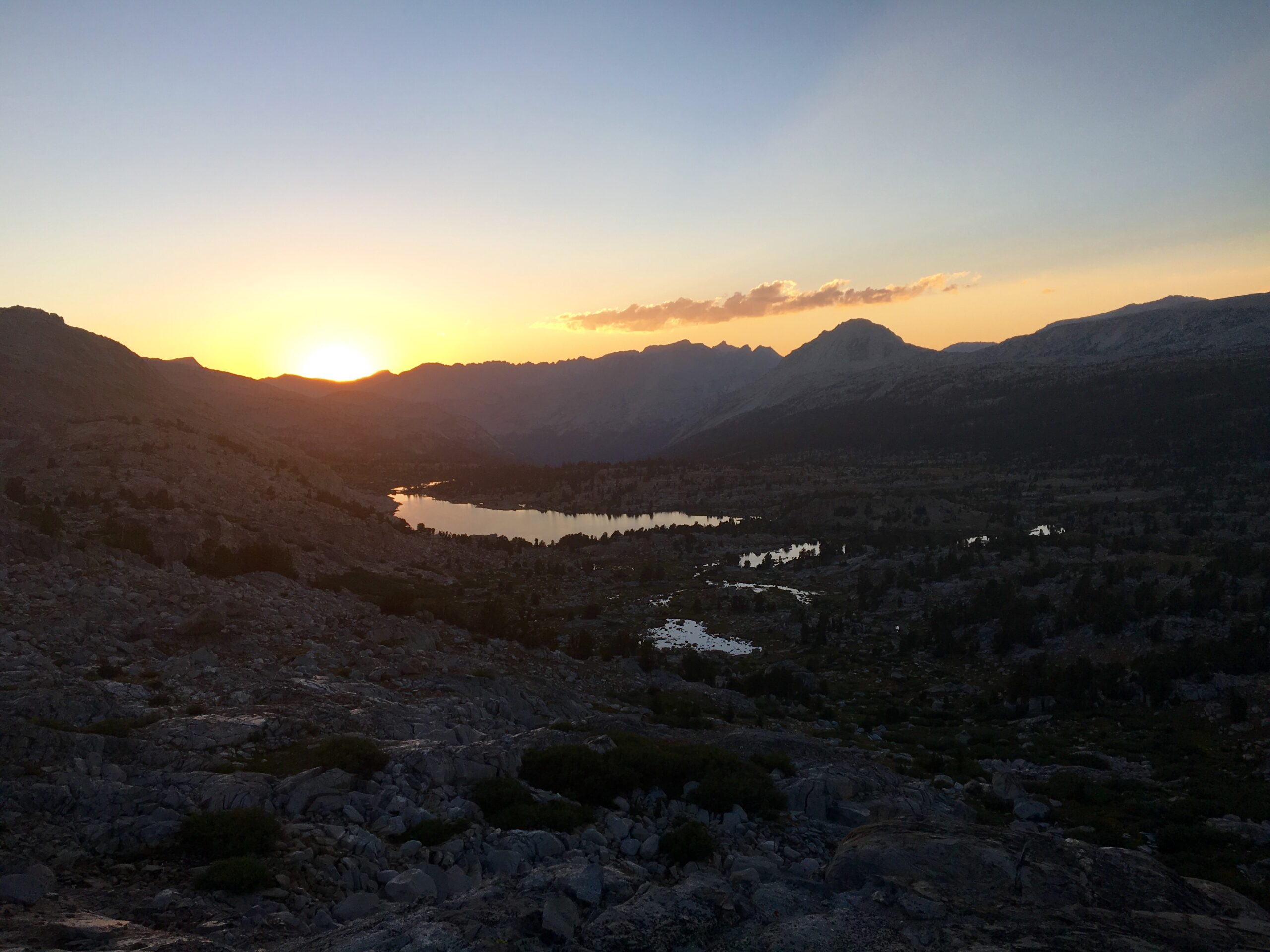
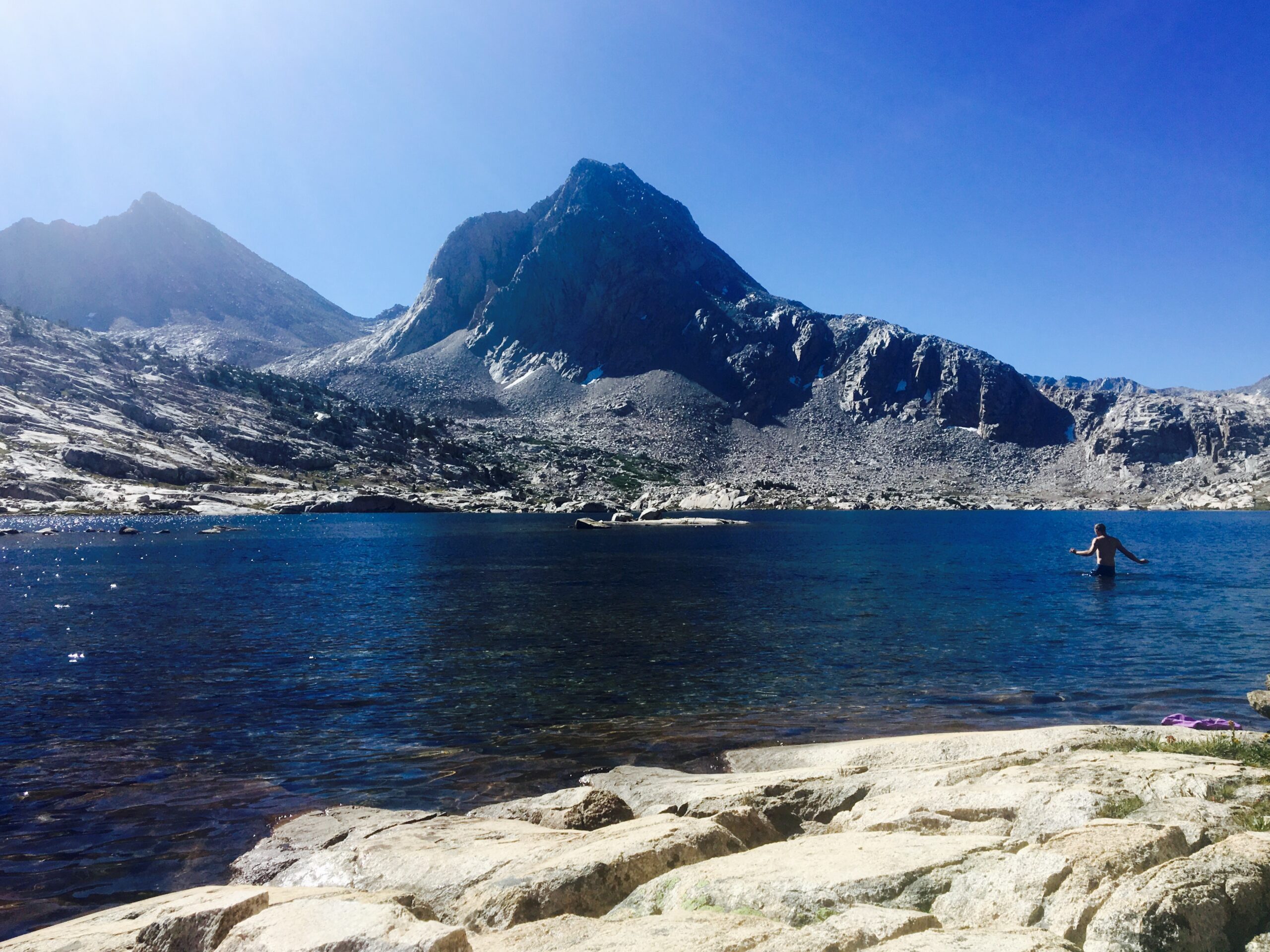
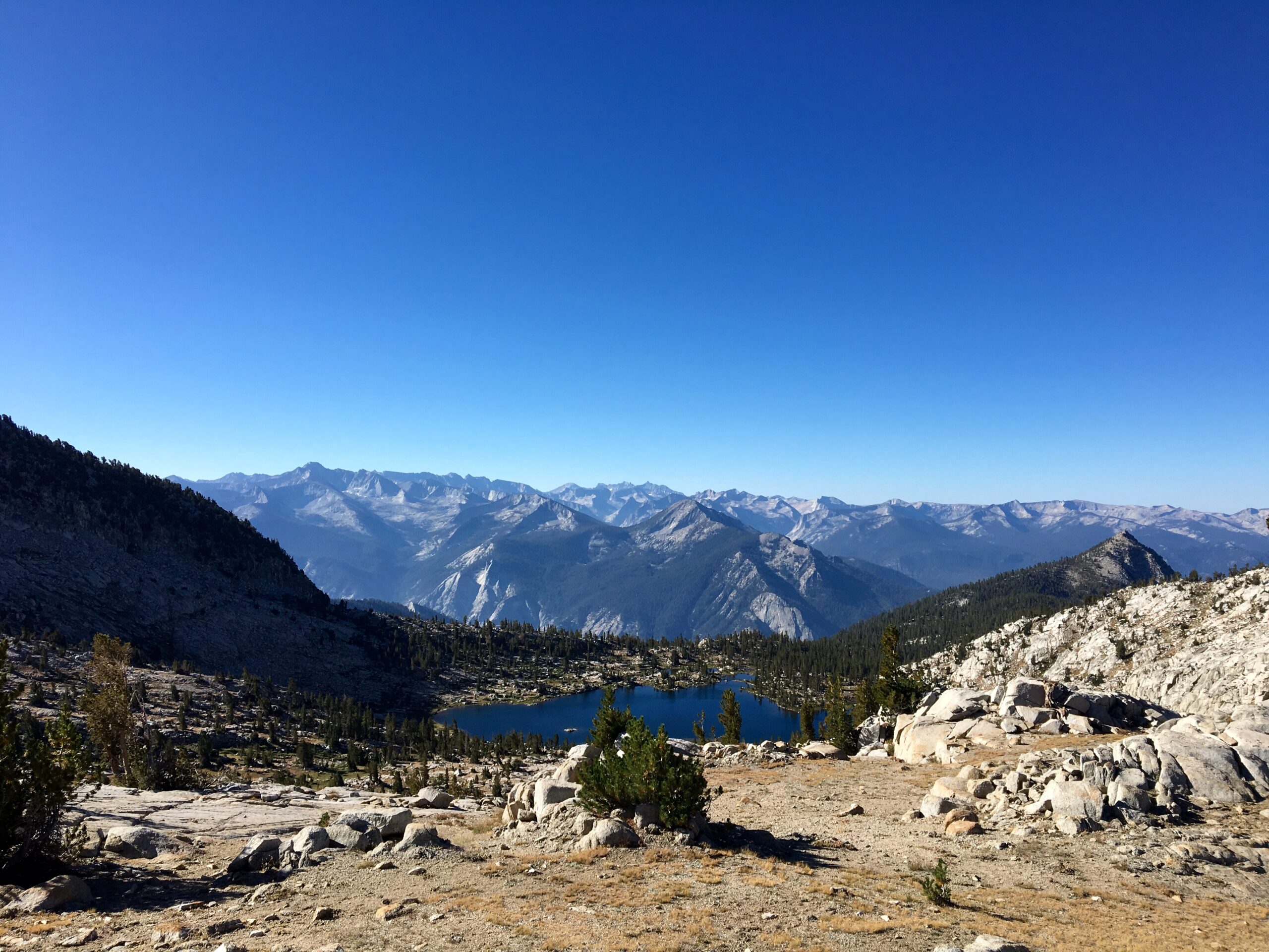
Photo Gallery