Trip Report
Dome Peak, Sinister Peak & Gunsight Peak via Stehekin
Trip Overview
Day 1 – Chelan to Stehekin to High Bridge and hike to basin at 6600'
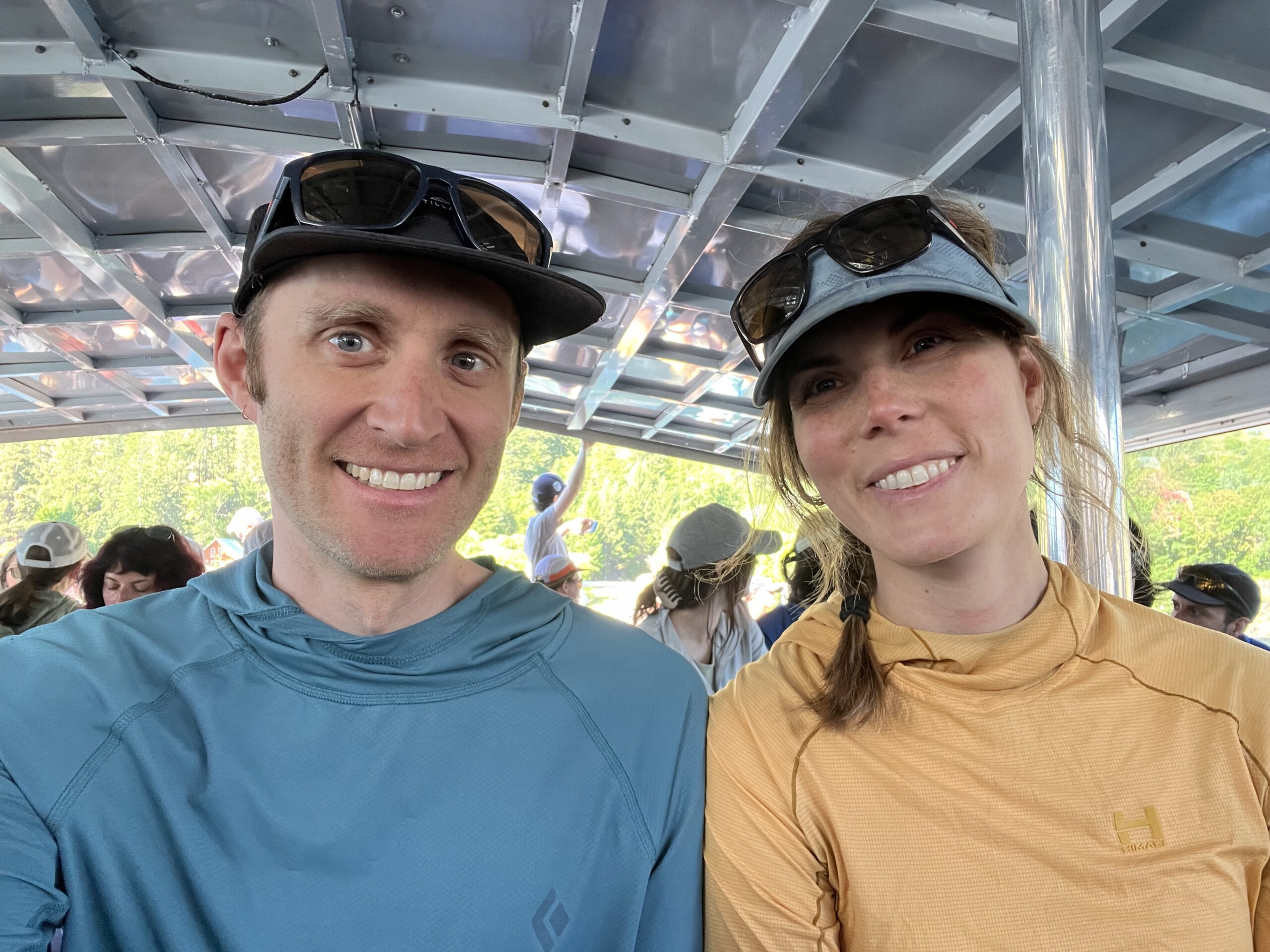
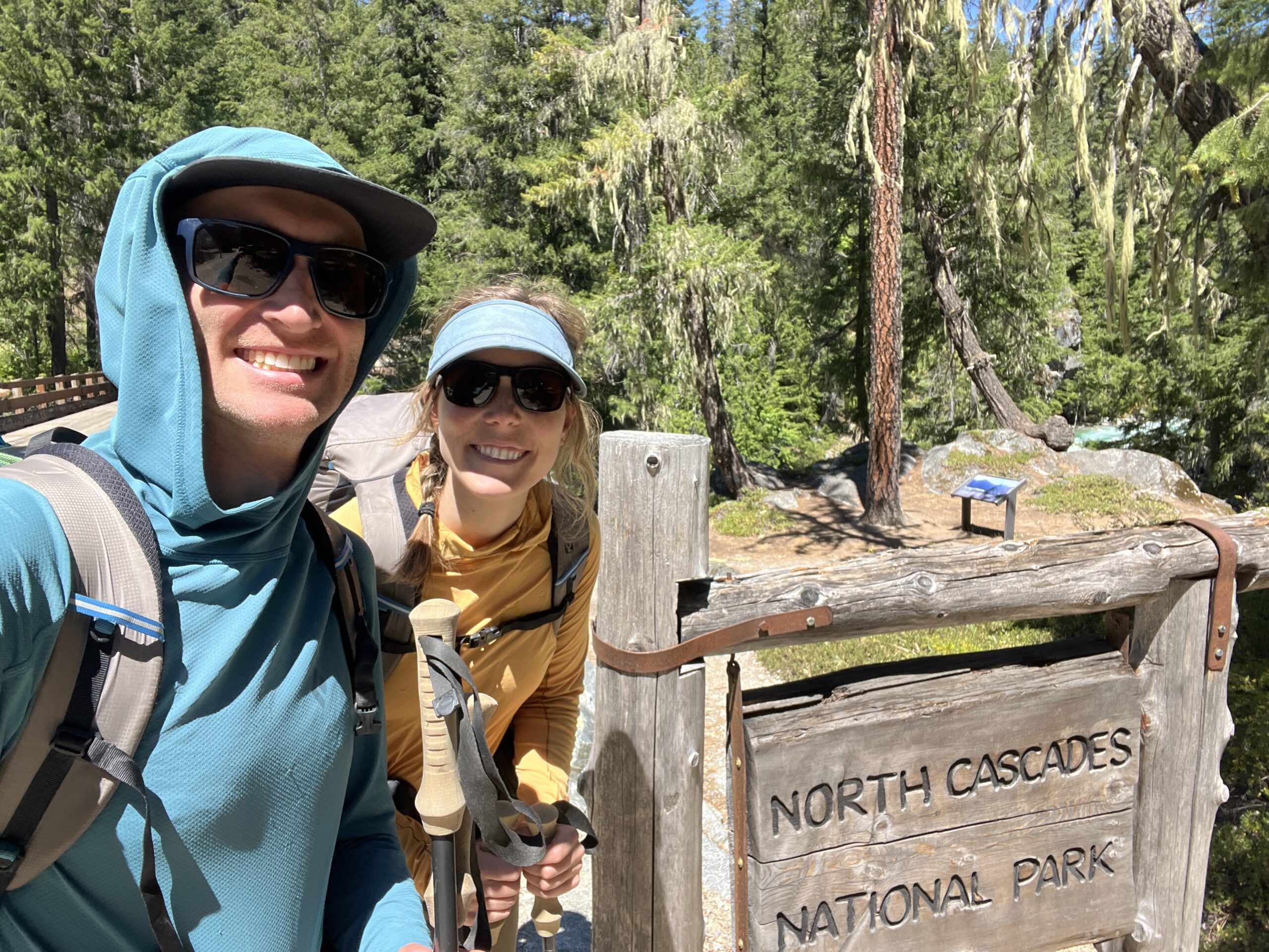
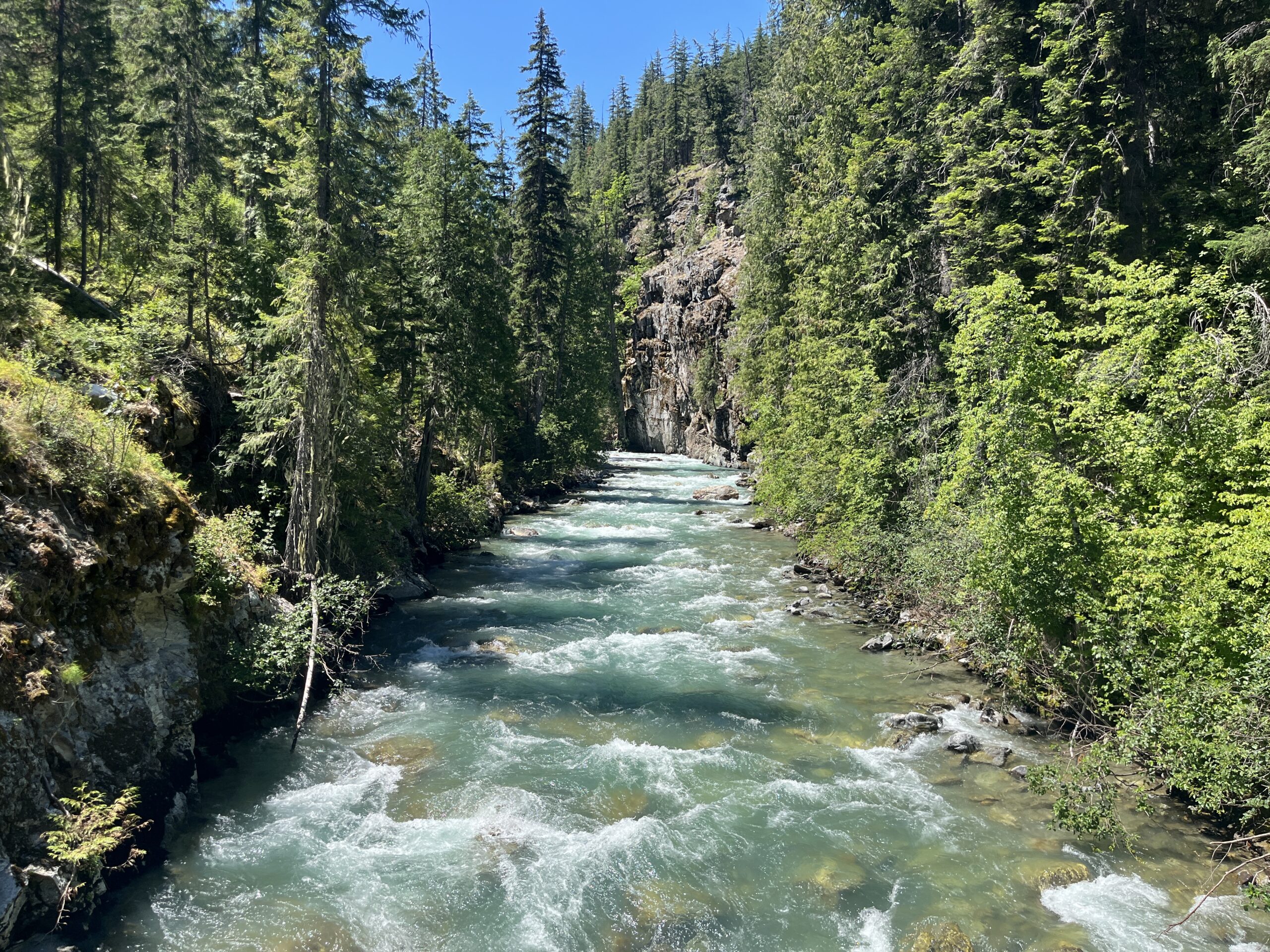
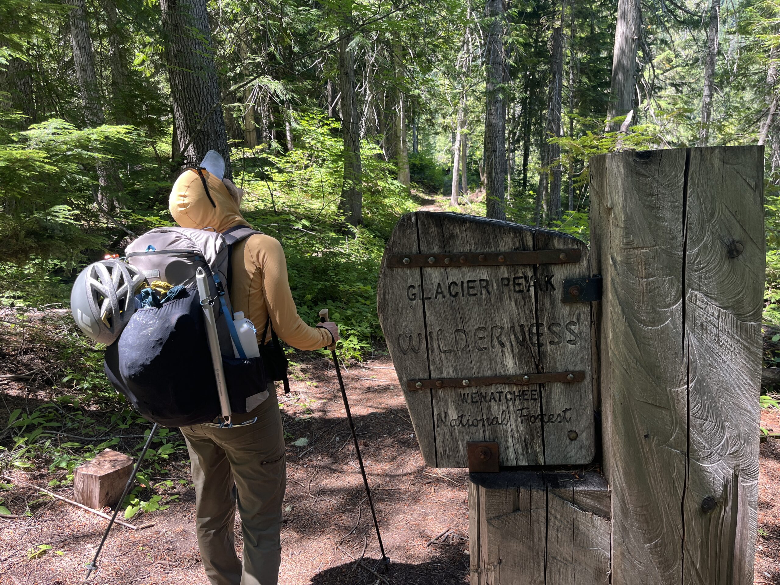
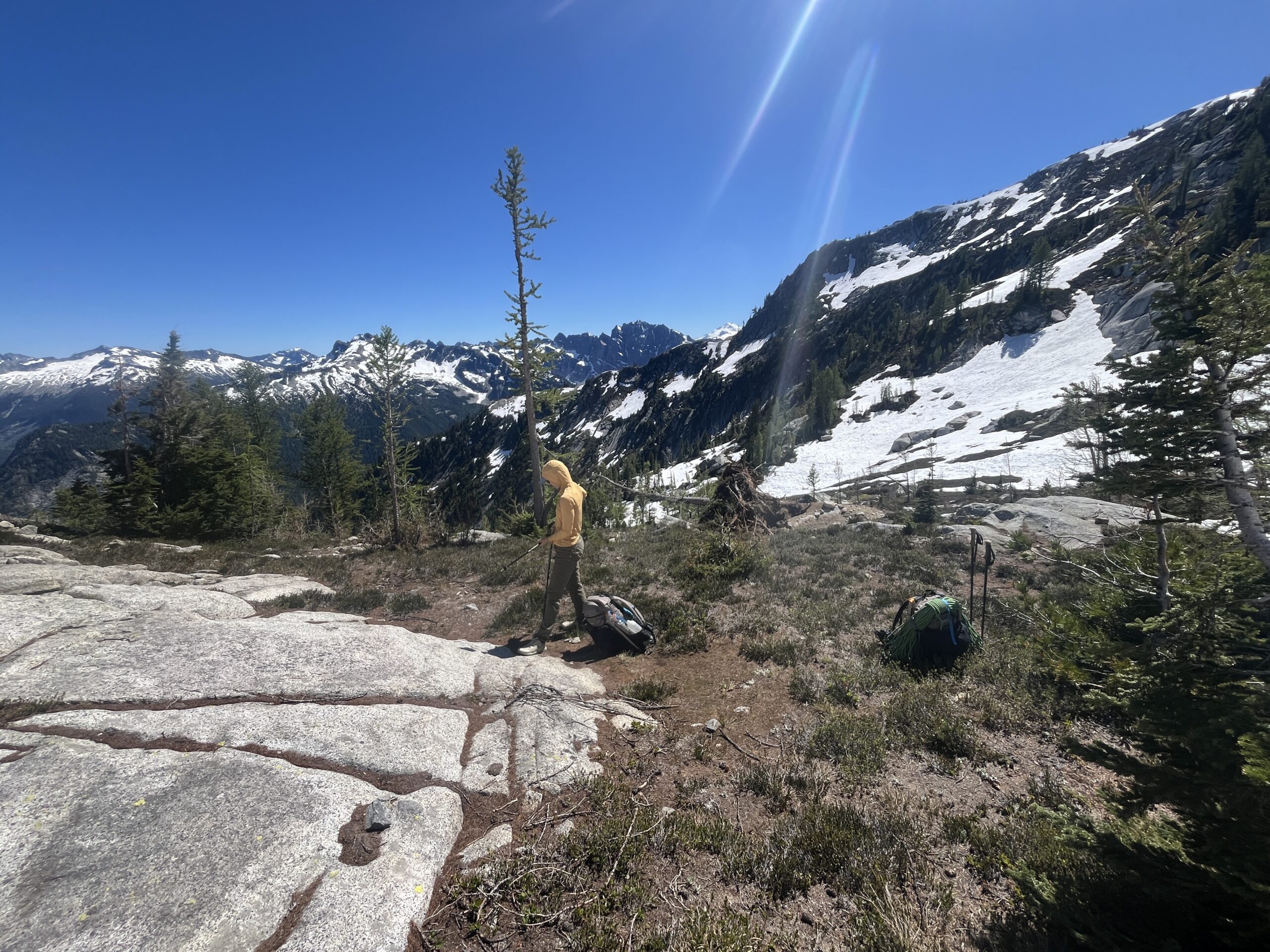
We caught the Lady of the Lake Express around 9 a.m. from Fields Point Landing in Chelan to Stehekin. We got on the bus to High Bridge around 11:30 a.m., stopping by the famous Stehekin Pastry Company and to grab some pizza for dinner. We got dropped off at High Bridge at 12:30 p.m. We started hiking from High Bridge, south on the Pacific Crest Trail, passing by Five Mile and Swamp Creek camps, meeting one Southbound PCT hiker along the way.
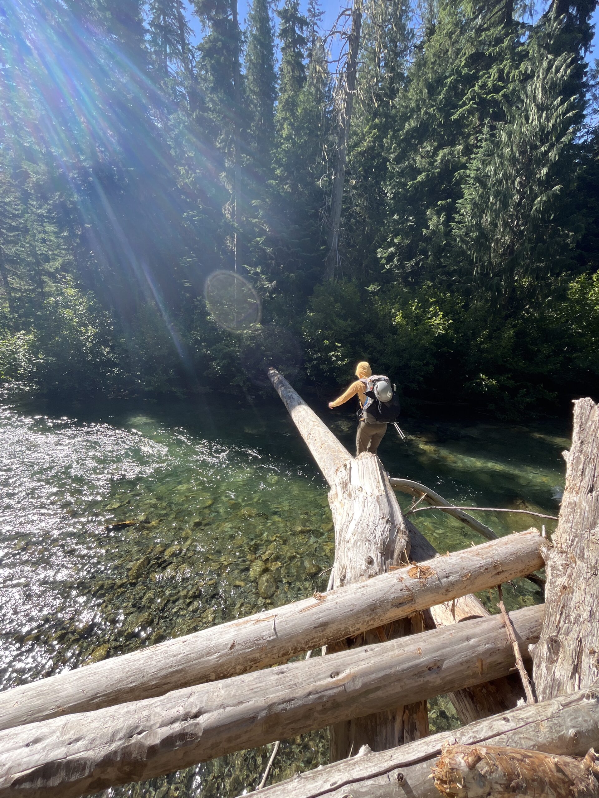
After about 10 miles walking south on the PCT we were nearing the confluence of the S. Fork of Agnes Creek and Spruce Creek. We had read various trip reports that folks had crossed these creeks one at a time, but decided to quickly scout for a way across at the confluence. To our luck, just north from the large campsite right at the confluence we found a large log that made crossing the creek easy. We were relieved to have found a way across without too many shenanigans.
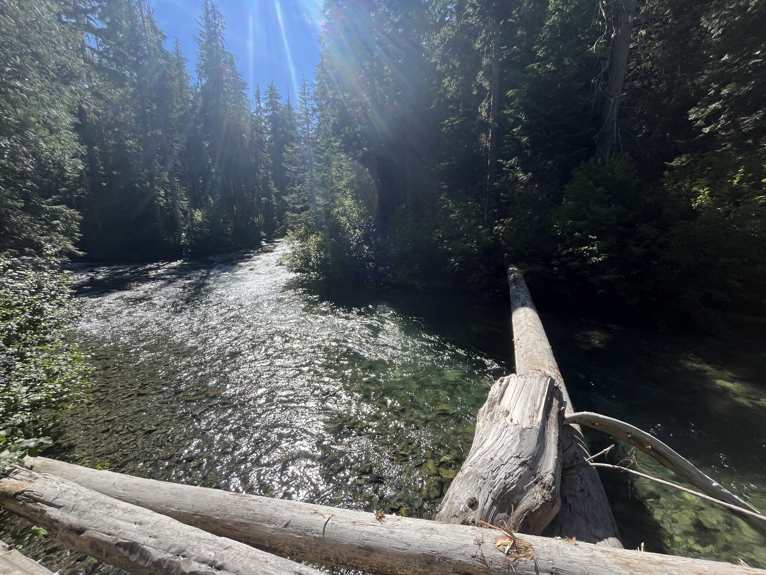
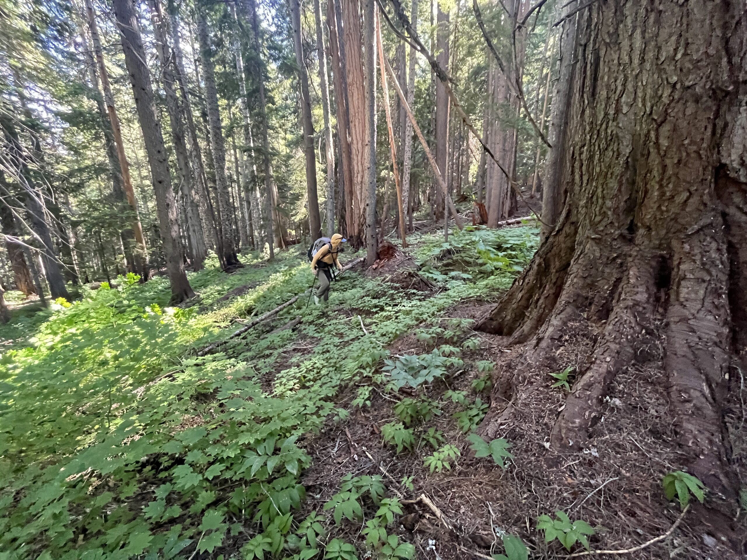
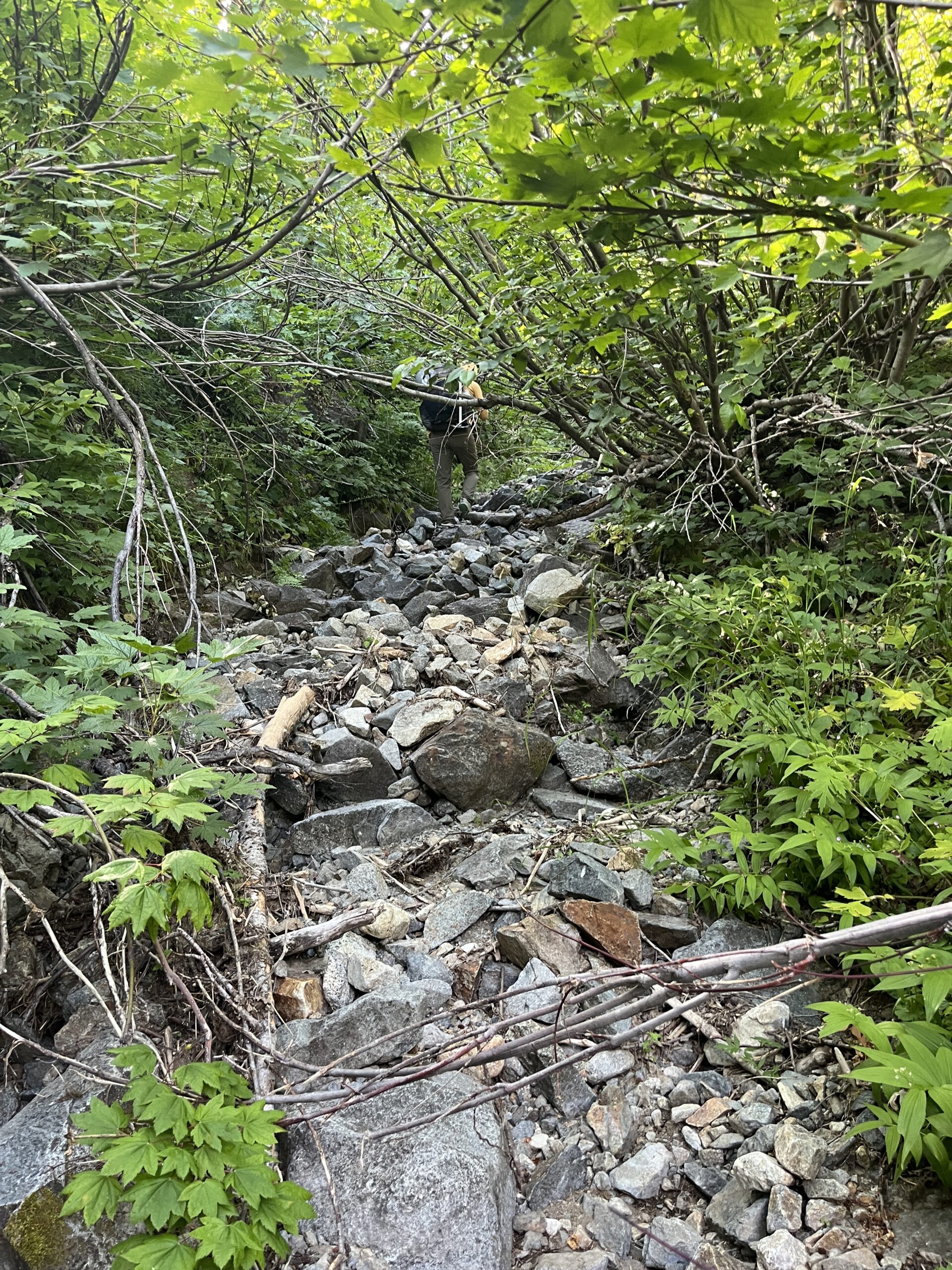
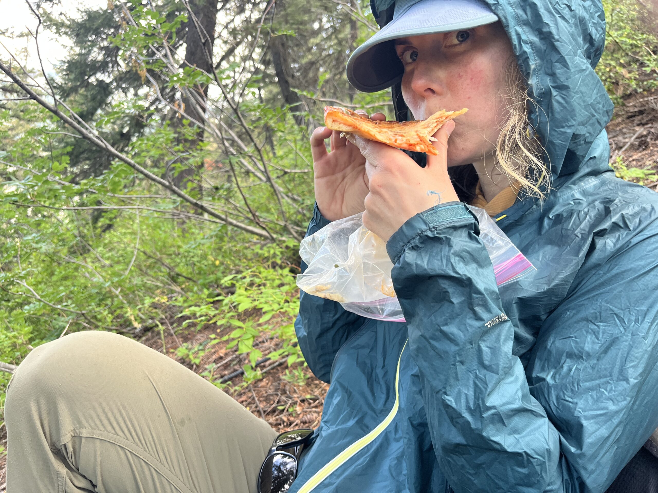
Once we crossed the log we weren’t exactly sure which way to go, but we decided to stay directly SW of the large open patch and make our way uphill. We had open forested slopes for a bit, but then it turned into pretty tough vine maple and slide alder bushwhacking from around 3,000 to 3,600 feet. We were eventually funneled into a rocky drainage and were able to walk with a little less bushwhacking. Eventually, we ended up in steep forested slopes and just kept slogging uphill on intermittent deer trails. We stopped and ate our pizza mid climb to take a break and get hyped up for the rest of the elevation gain. At right around 4,600′ we started making a rising traverse northwest towards the two drainages directly west of us. Once we got to the edge of the eastern-most drainage, we hand-railed that uphill, eventually dropping in at 5,600′ to fill our waters. We then kept heading uphill and directly towards the open grassy ridgeline above, hitting it at around 6,400′.
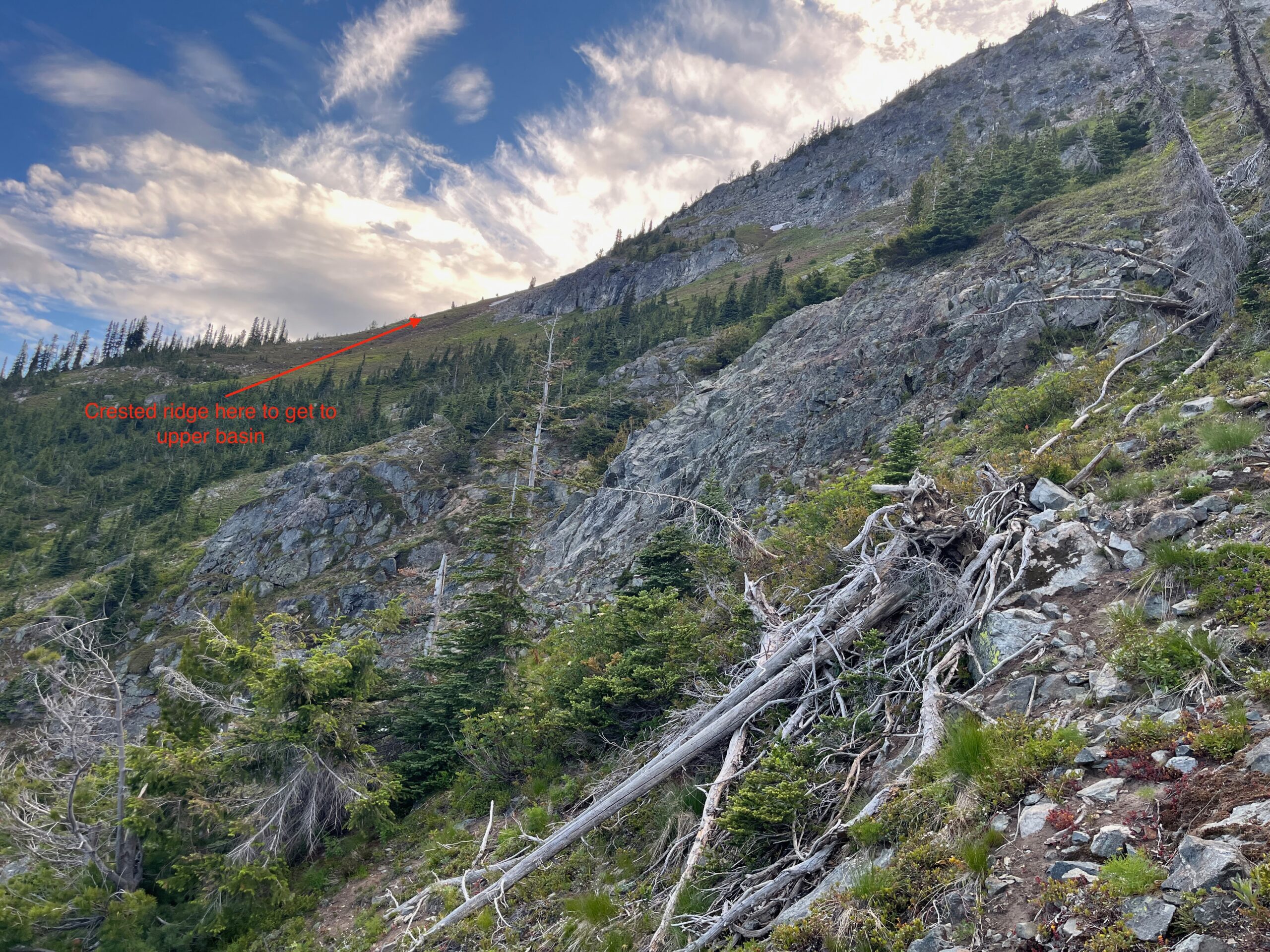
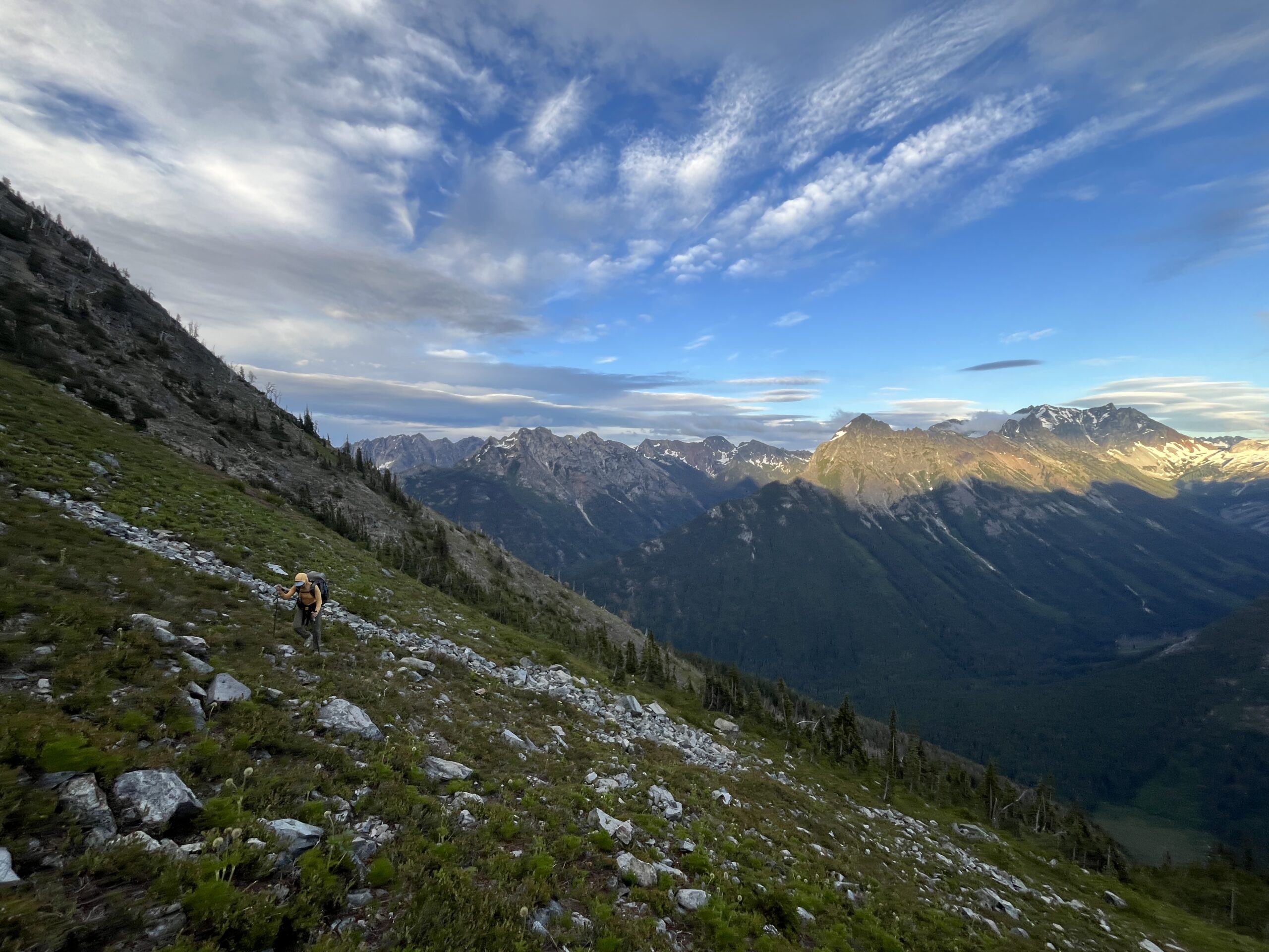
From the point where we hit the ridgeline we made a fairly straightforward traverse, staying high when we felt we had to decide, to the basin just below the saddle between Point 7,070 and Point 7,548. We arrived around 9:30 p.m. and found a great little campsite with running water nearby.
Day 2 – Climb Dome Peak & Sinister Peak
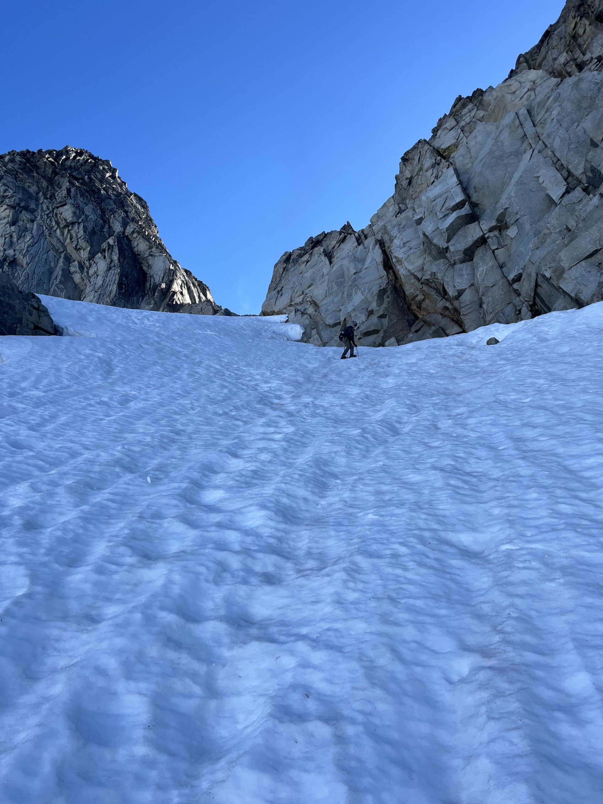
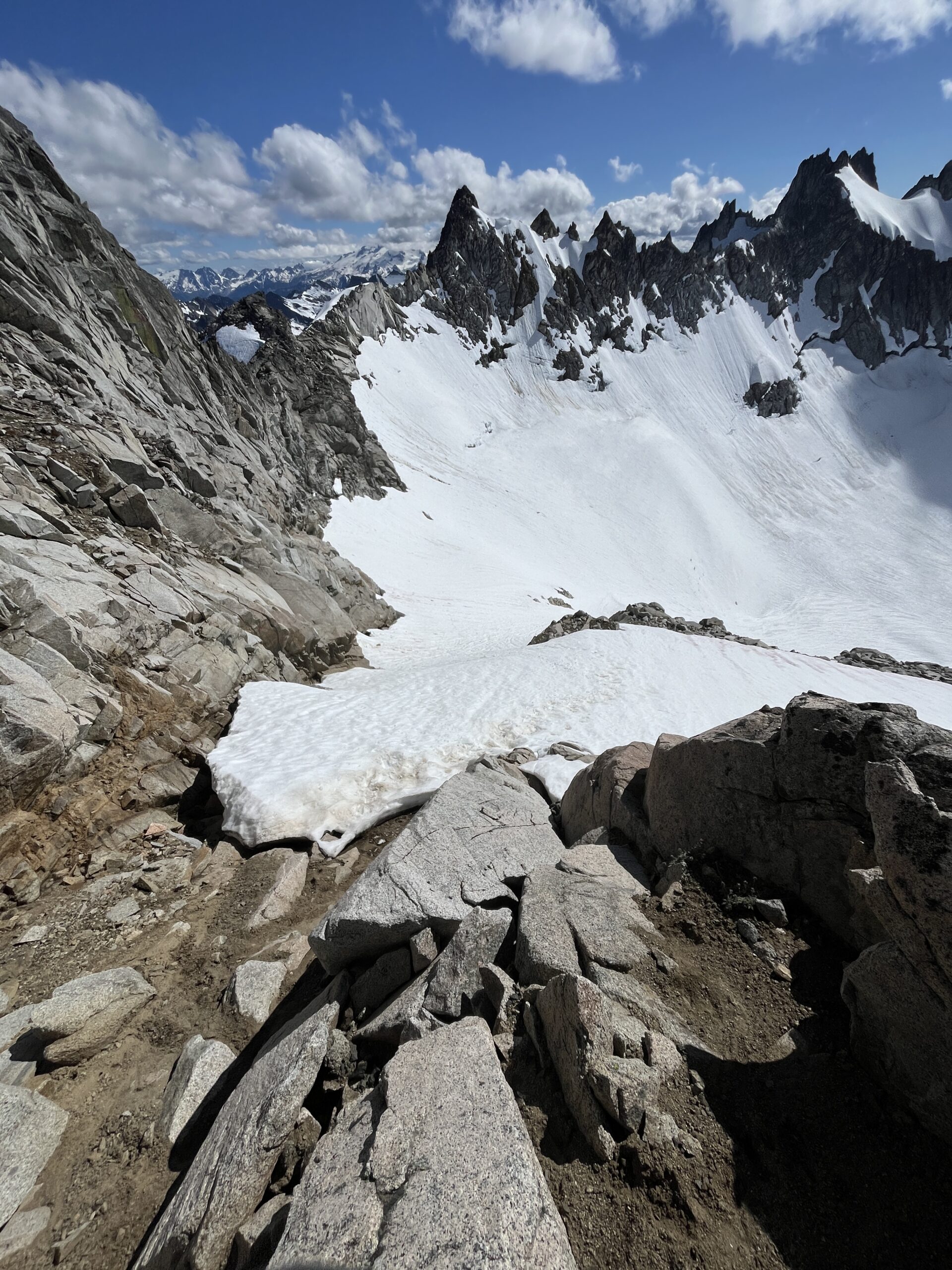
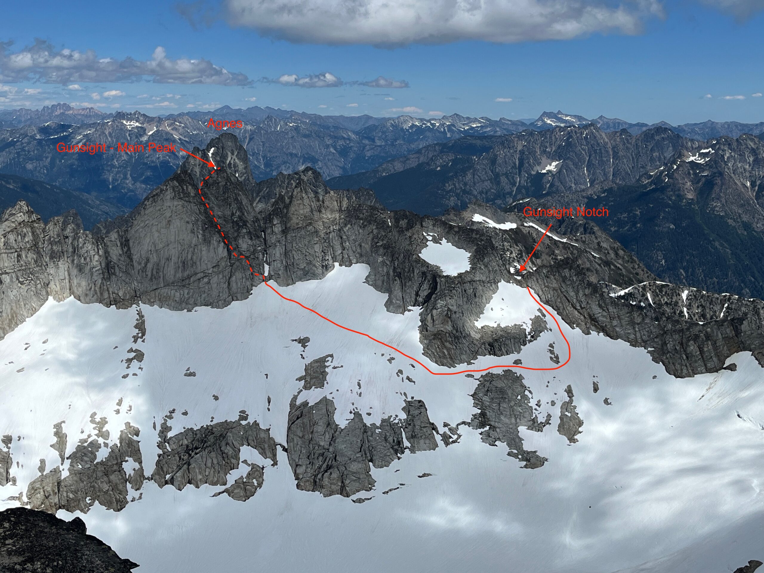
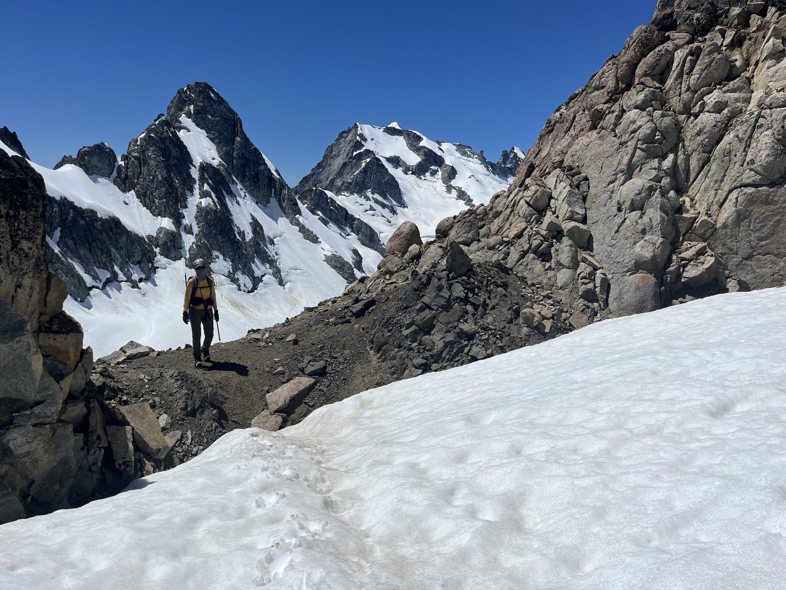
We woke up around 5 a.m., ate oatmeal and drank coffee and were moving up towards the saddle between Point 7,070 and Point 7,548 around 6 a.m. Once we hit the saddle we followed the ridgeline to the southwest up to the top of Point 7,070. Then, we followed the ridgeline running W/NW off of point 7,070 to the saddle above Lake 6,364 on the map. From here we followed the ridgeline up to about 7,200′ where we stepped onto the snow and made a rising traverse up to Gunsight Notch. We arrived at the notch at 7:30 a.m. We had been here a year earlier when we did an extended version of the Ptarmigan Traverse from Holden Village. Very cool to visit the same places in the Cascades multiple times.
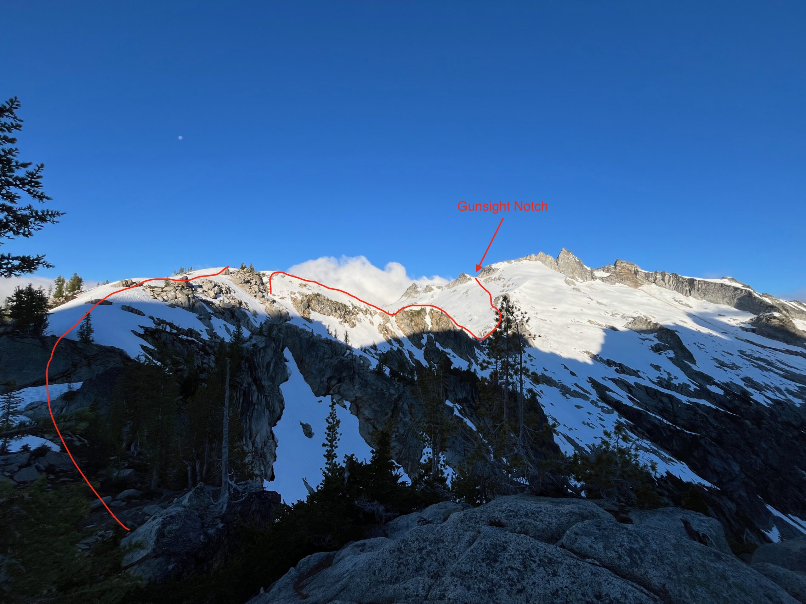
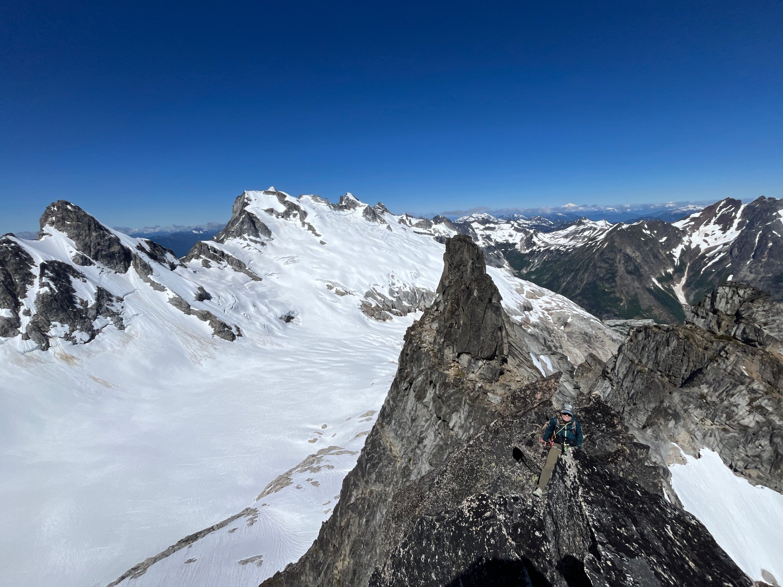
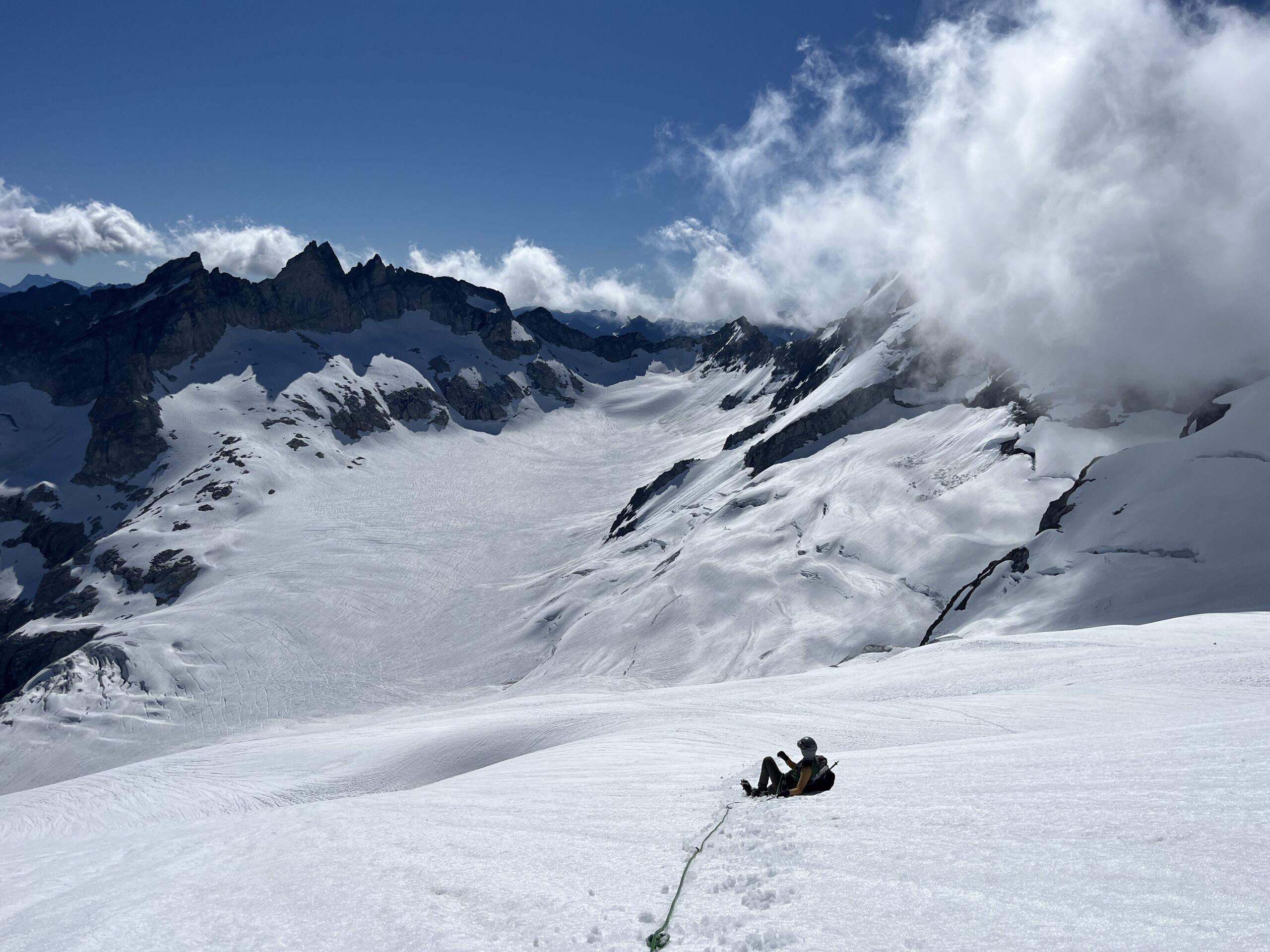
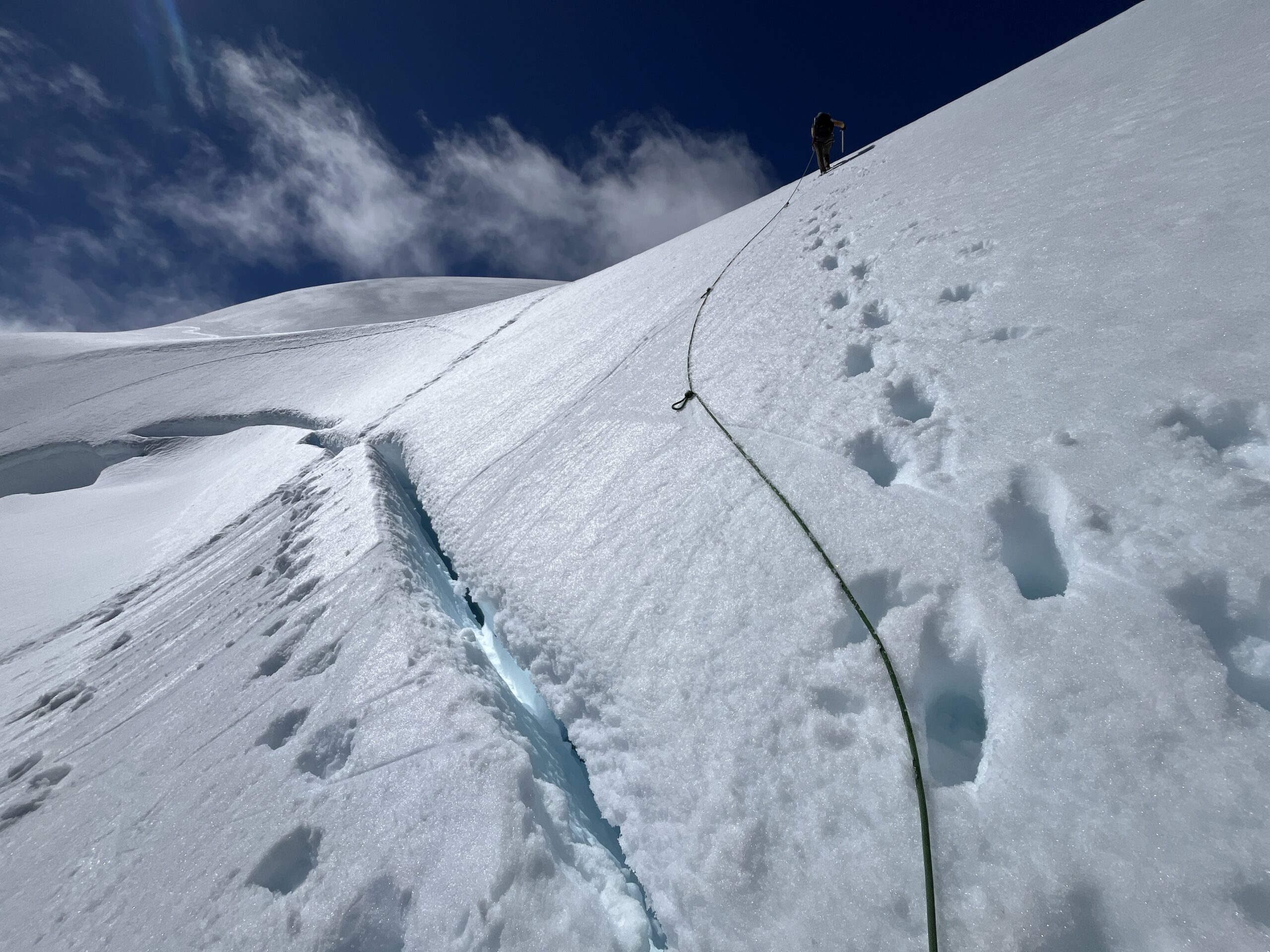
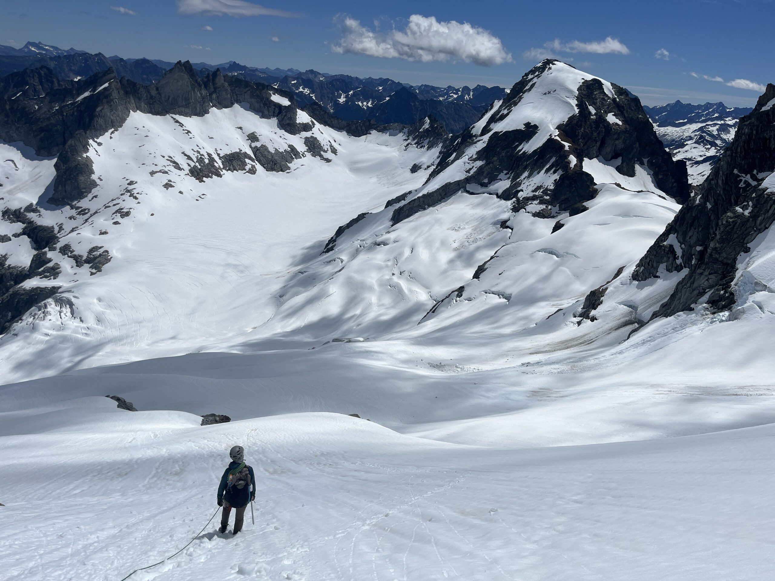
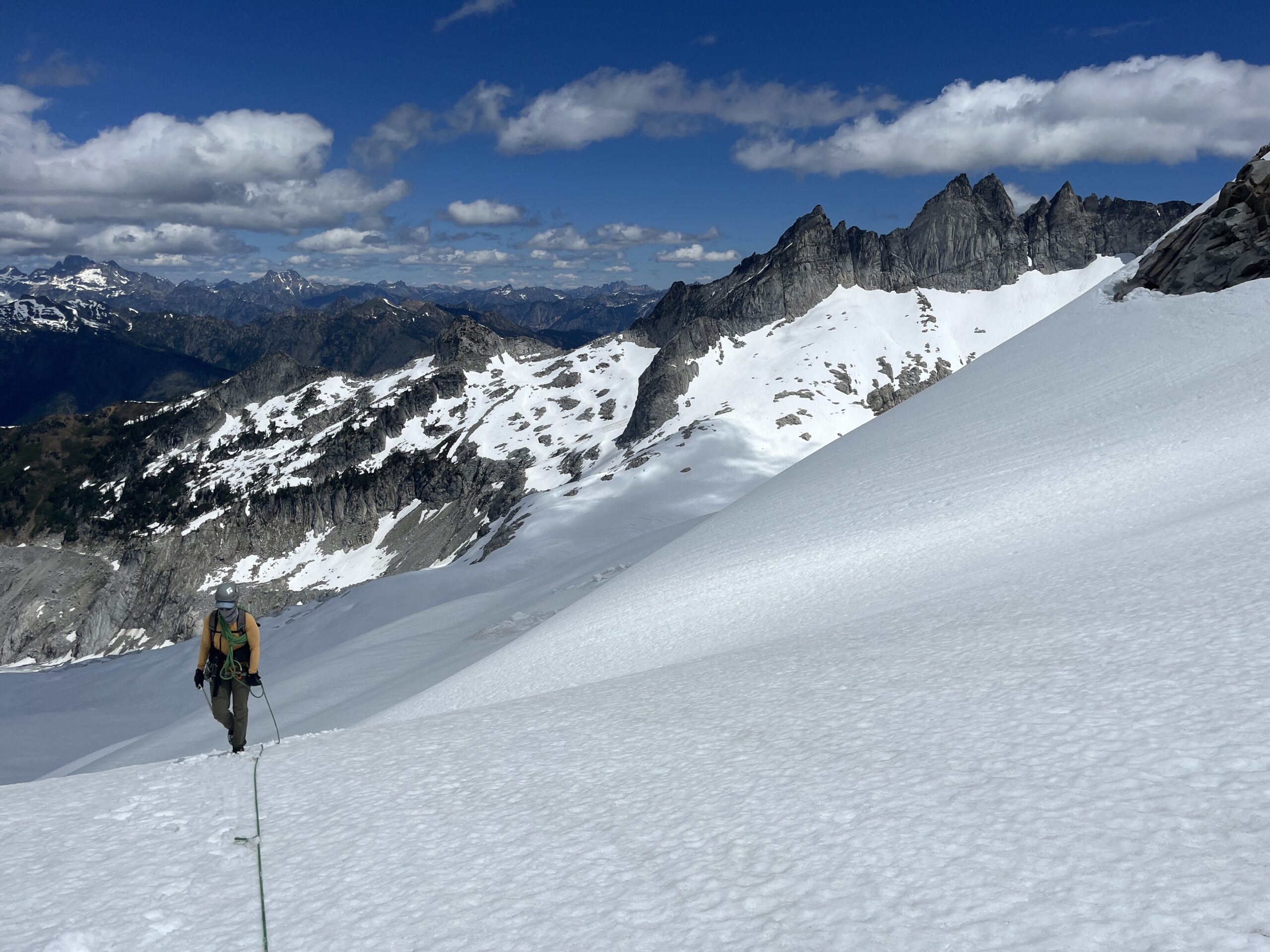
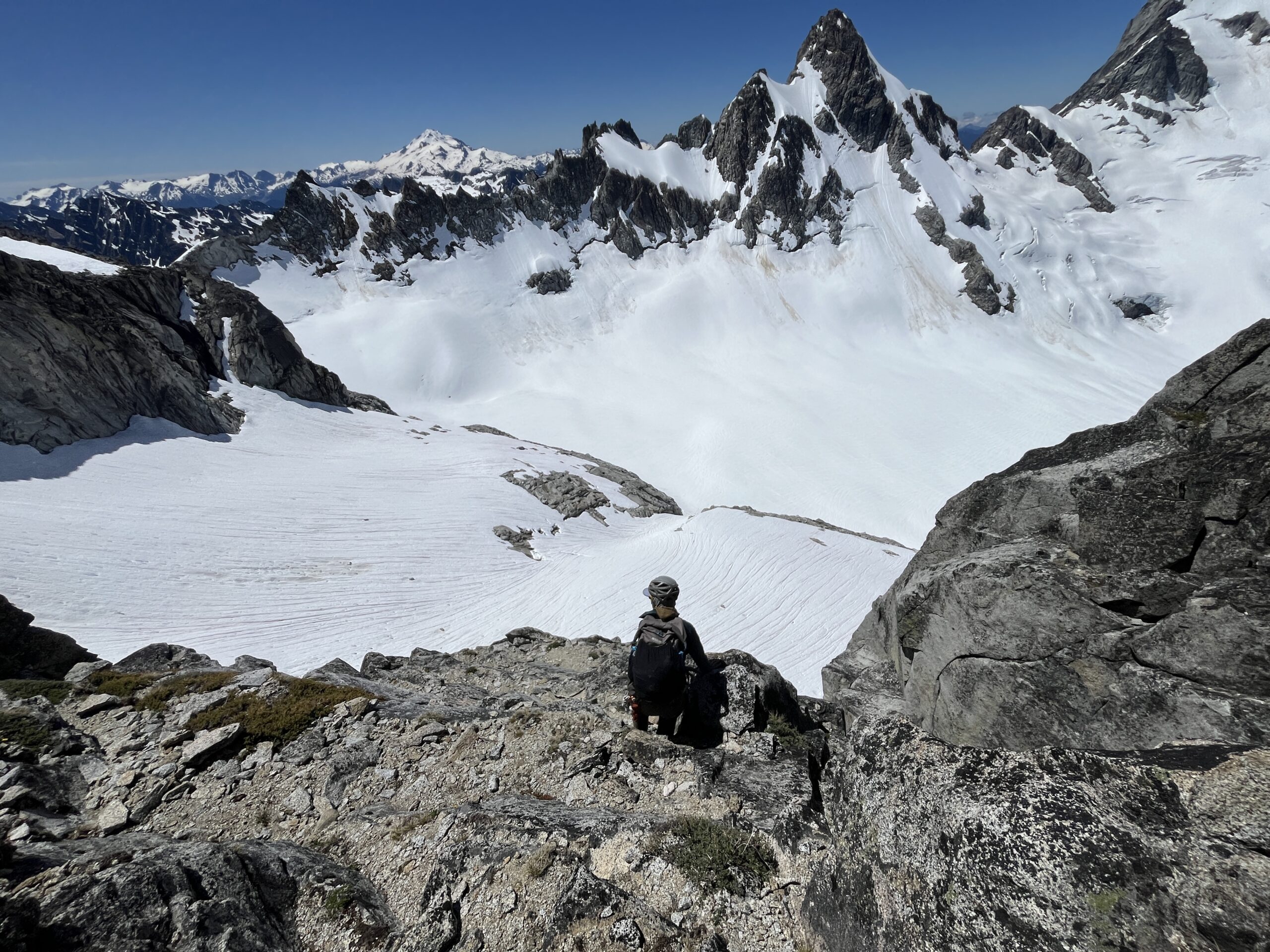
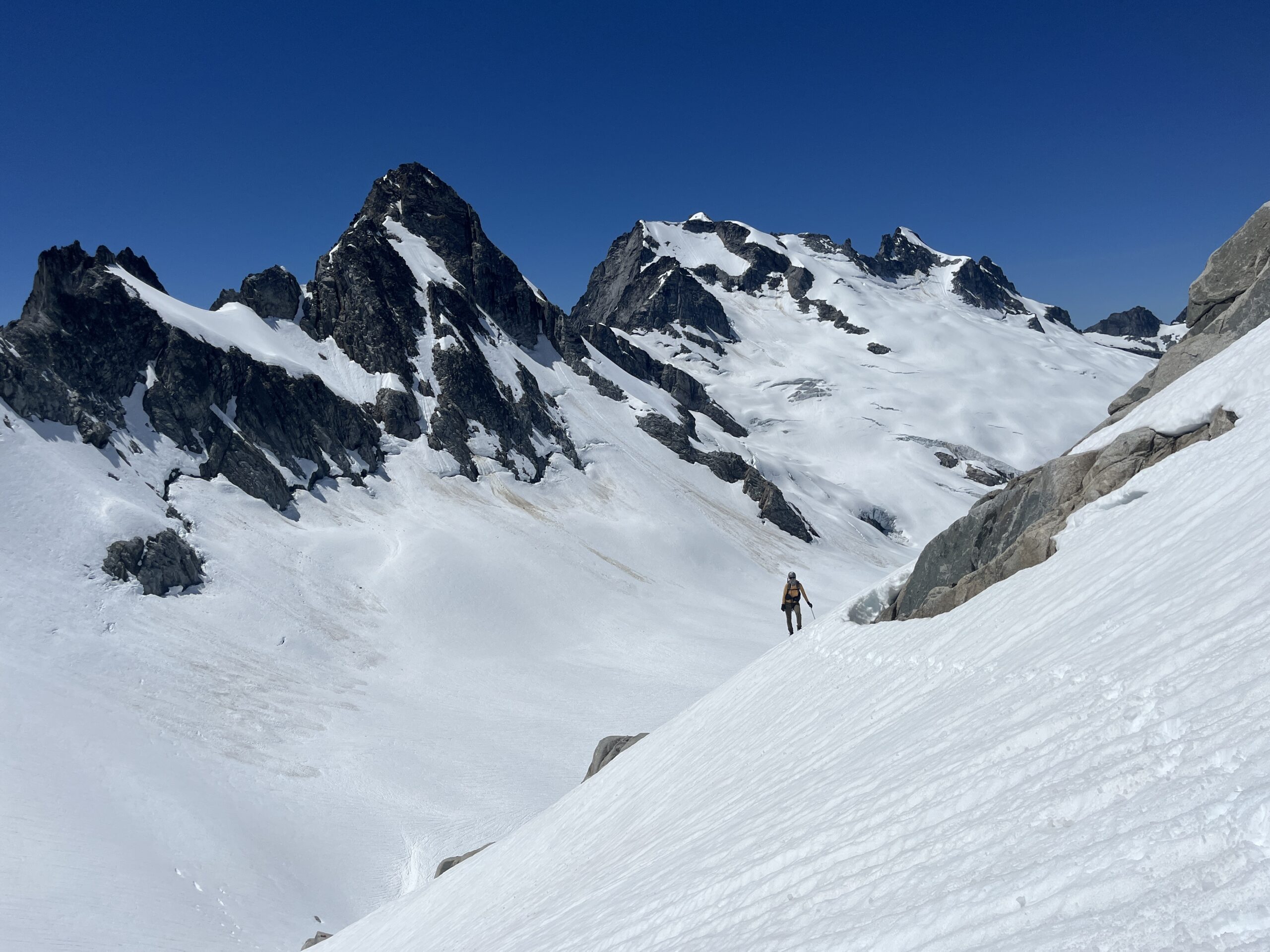
At Gunsight Notch we got our first view of Dome Peak, Sinister Peak and the massive Chikamin Glacier. What a stunning glacier in a very remote spot of the Cascades. From the notch we dropped onto the snow, which thankfully was very straightforward, and made our way down to the flat open glacier. Here we crossed to just below a big hole in the glacier below Sinister Peak and roped up. Then, we slowly made our way up towards Dome Col. The glacier was really well filled in and we could have gone many ways. We opted to choose a pretty straight line to where we crested over the ridge almost right at the col.
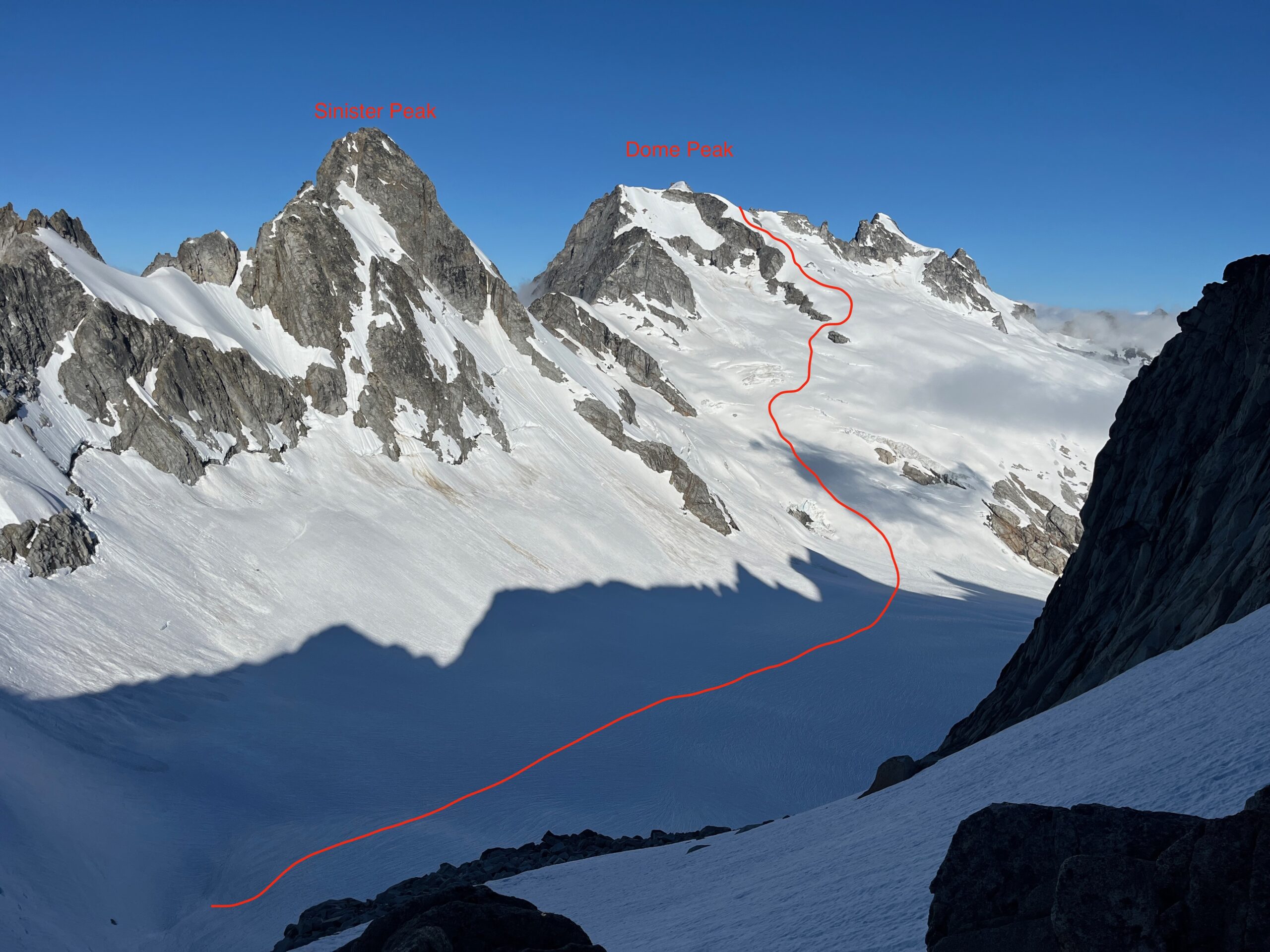
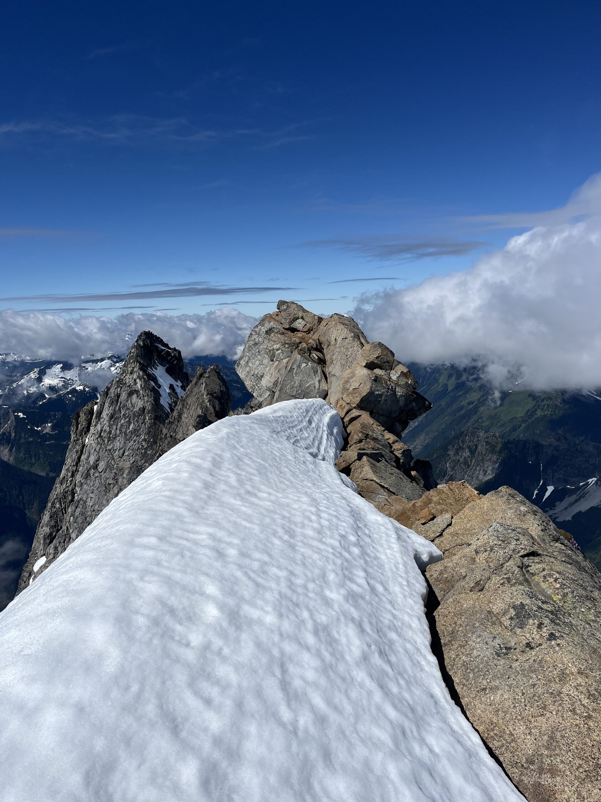
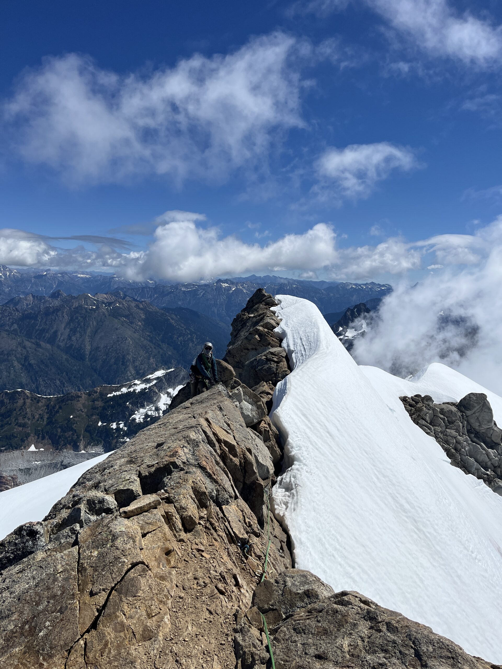
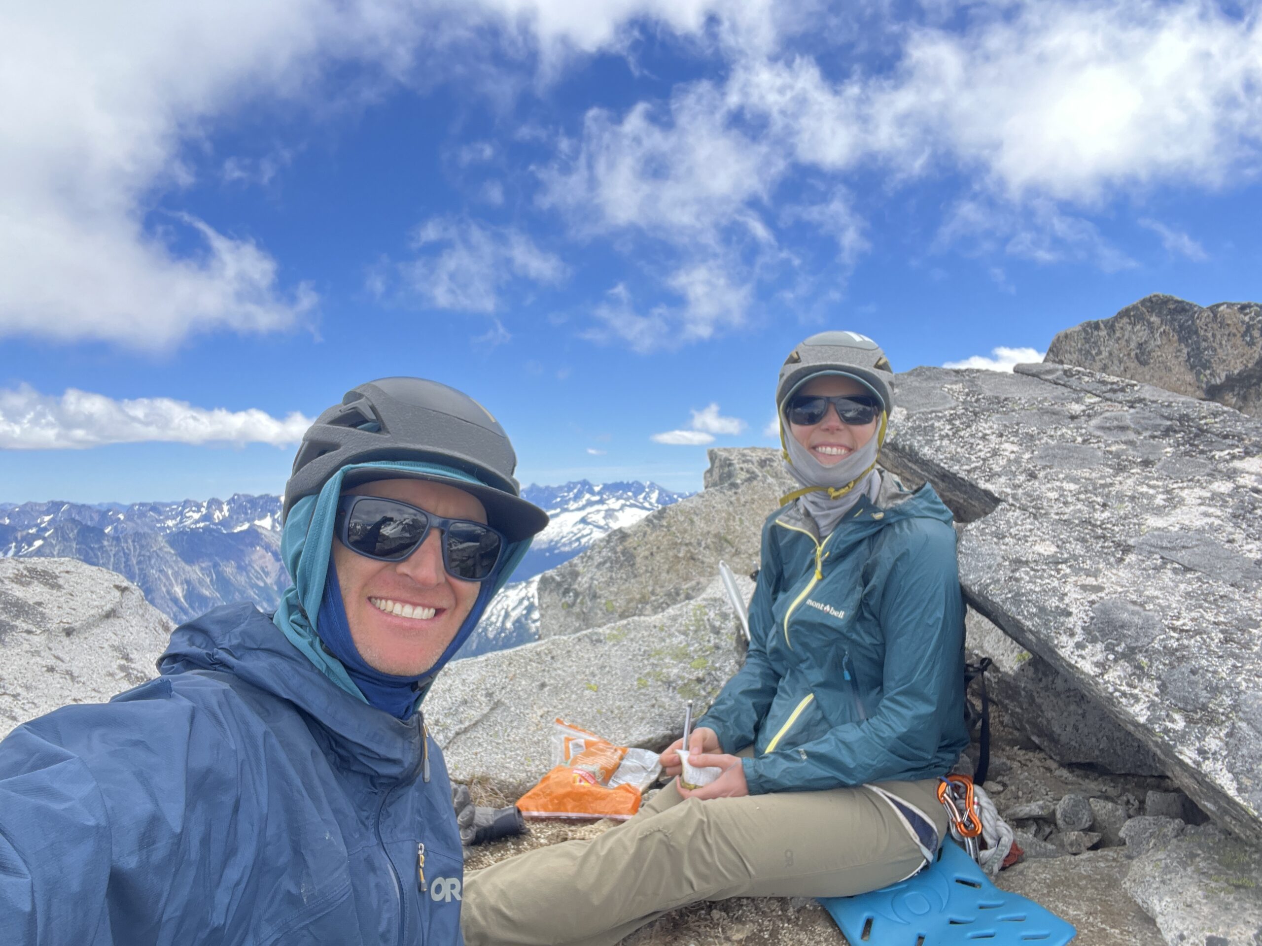
We made a a careful traverse over to Dome Col and avoided the growing bergschrund that people mention right around here. It was easy to navigate, but it does seem to be opening up! We took a break at the col and ate a snack at 10:30 a.m. From here, we followed easy snow to the ridgeline of the Dome peak summit. After a short ridgeline walk, we ended up at the spot where folks mention the “sidewalk in the sky”. We opted to lead a short pitch, Jeff placing two pieces of gear along the way and then belaying Carolyn over to the summit. We enjoyed great views and signed the summit register at around 11:15 a.m. Carolyn then led back down, clipping the pieces along the way, and then belayed Jeff back to the snow. There is a rap station on a half refrigerator size block that you could rappel from the summit, but we thought it would be faster to lead up and down instead. We walked back down to the Dome Col and roped up to get back on the Chikamin Glacier to head towards Sinister Peak.
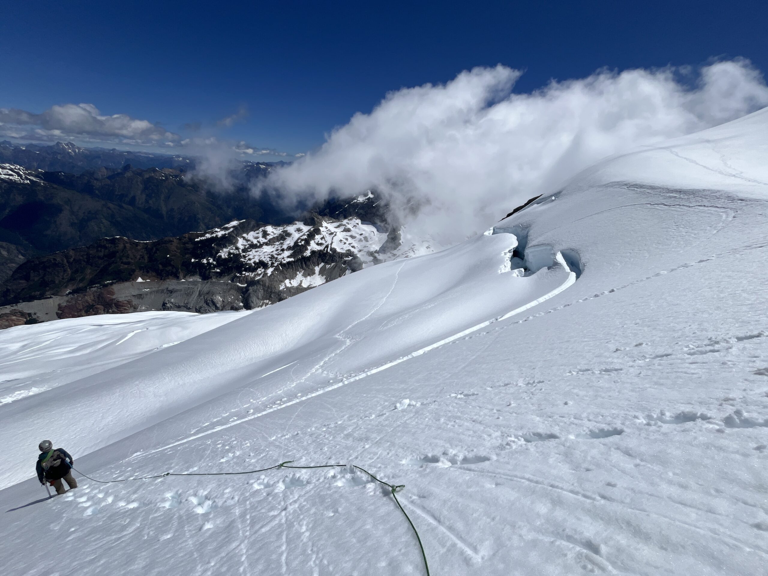
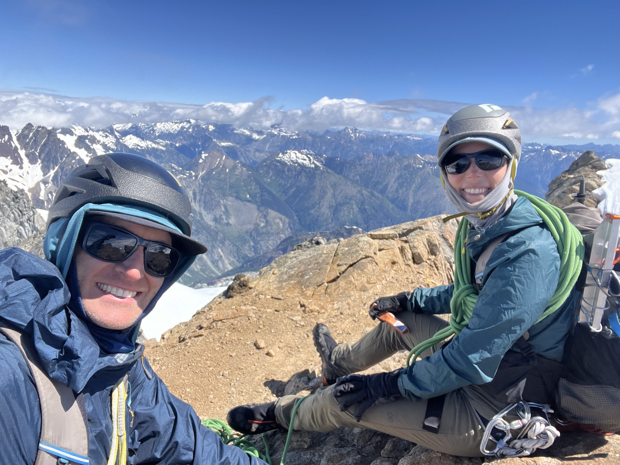
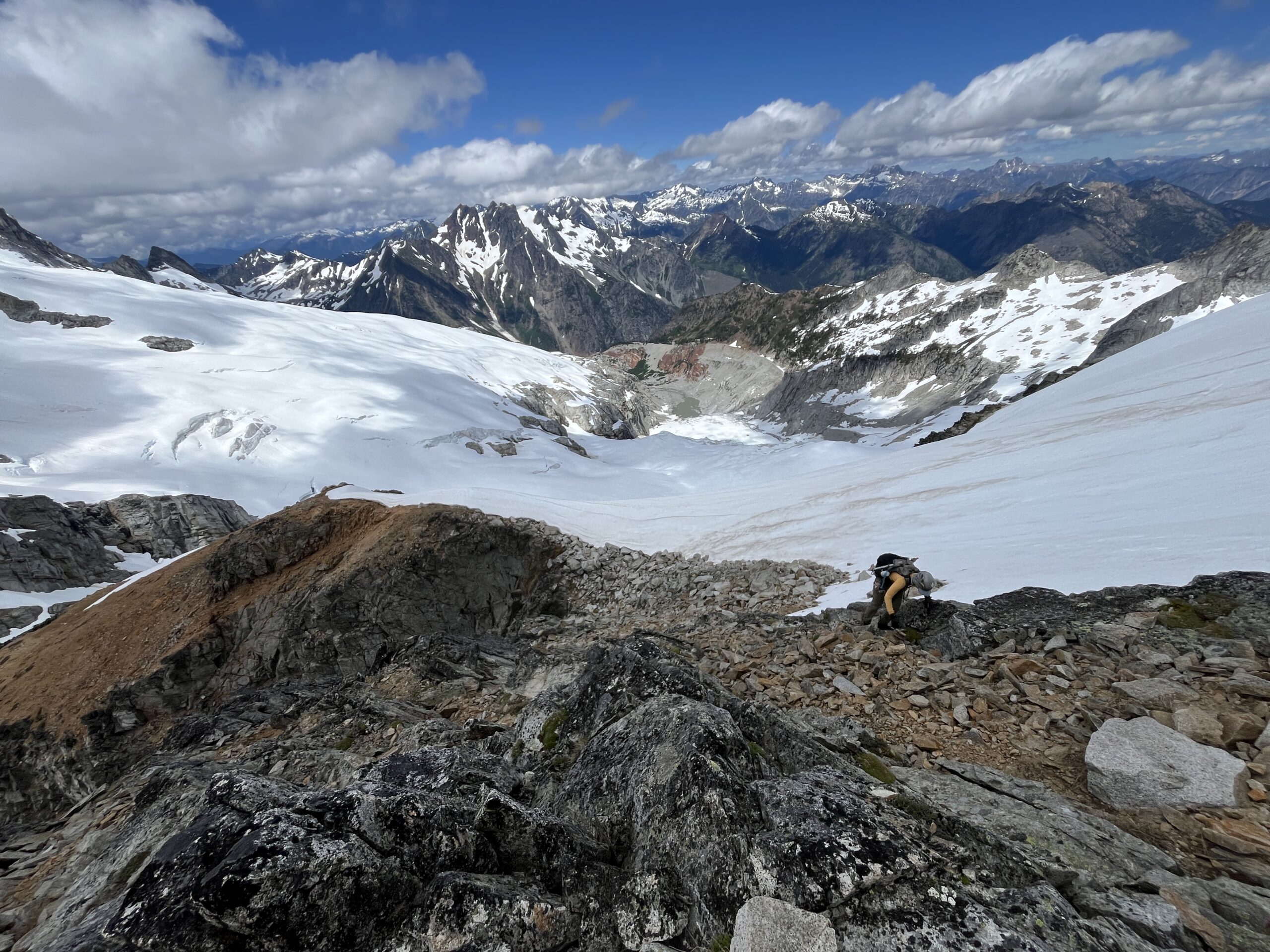
We followed our boot track back down the Chikamin Gacier and then cut the corner taking a straight line to the saddle between Dome Peak and Sinister Peak. When we made it the saddle we decided to take the route that drops you onto the south side of the west ridge and curls around into a dirty loose gully. Looking back we should have taken the ridge route, as that seems a little bit more straight forward even though it is a bit more exposed. Some loose scrambling and poor rope management lower down eventually got us up to the ridge where we scrambled easy class 2/3 to the final mellow snow walk to the summit. We made it to the summit around 2 p.m. and spent about 15 minutes on top enjoying the view back towards Dome Peak and across to Gunsight Peak. We headed back down the same route we went up and decided to see if we could go down the ridge line. We went down to where the ridgeline steepens, and didn’t feel up to the scramble so we went back to the dirty gulley and made two rappels down it at rap stations that both seemed less than ideal.
We headed back to the saddle, roped up and retraced our footsteps to Gunsight Notch, arriving around 5 p.m. We then retraced our steps back over Point 7,070 and down to camp, ending our day around 6 p.m. What a beautiful day in a beautiful spot!
Day 3 – Climb Gunsight Peak and begin hike out
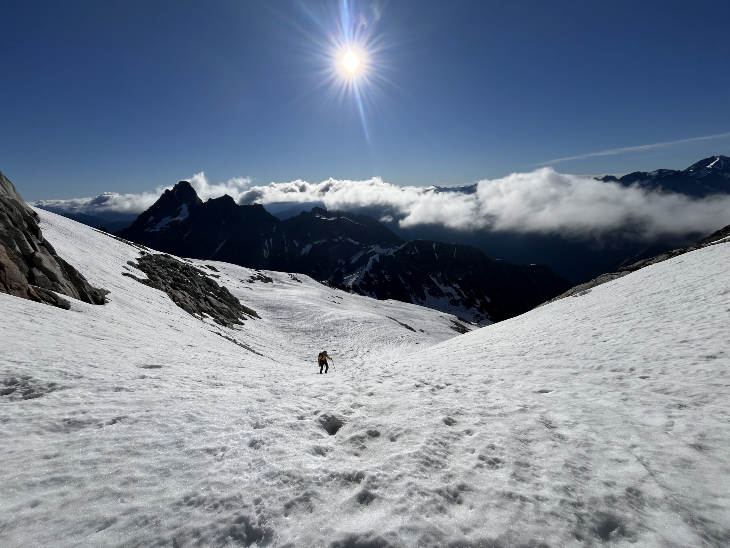
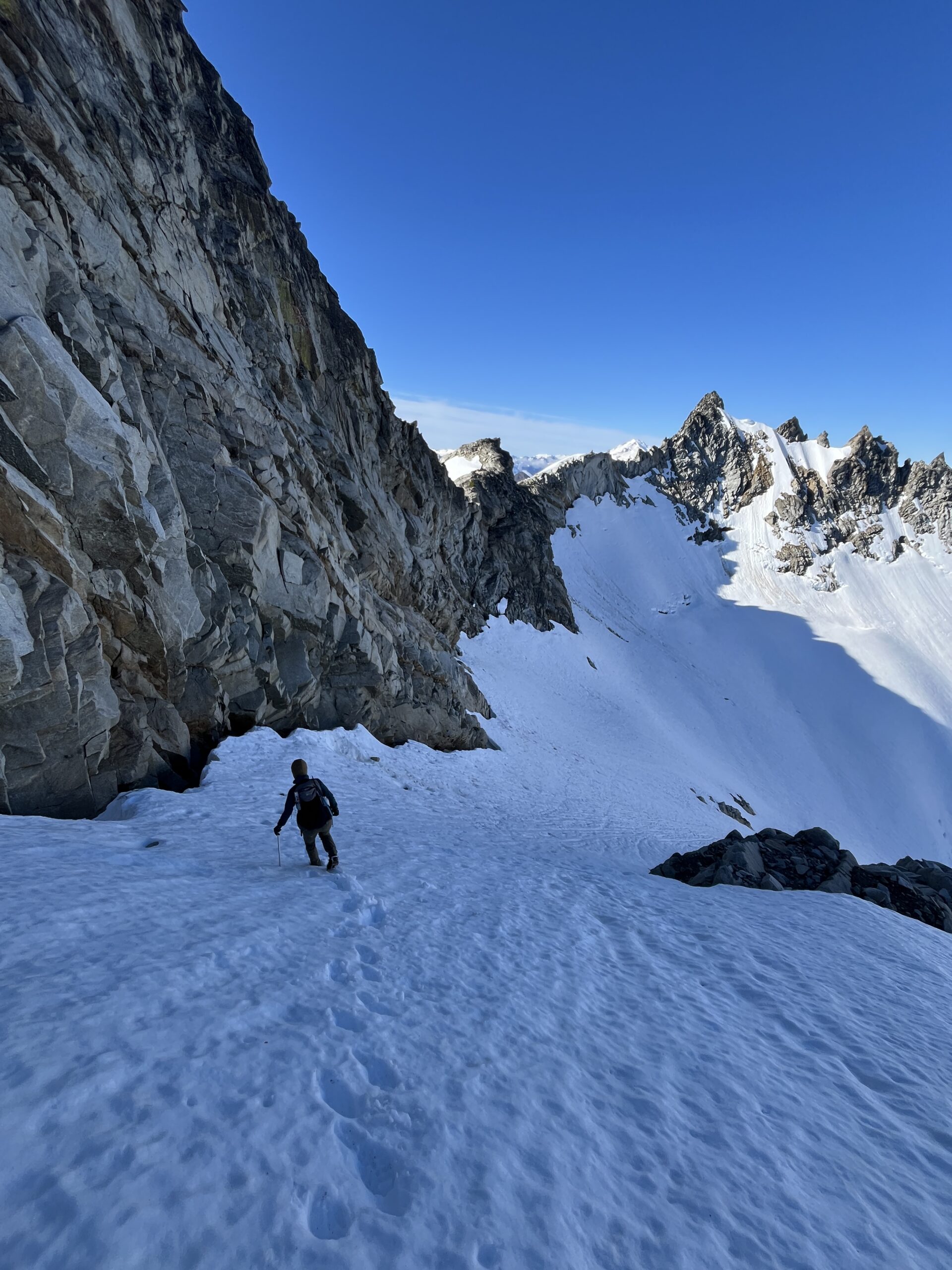
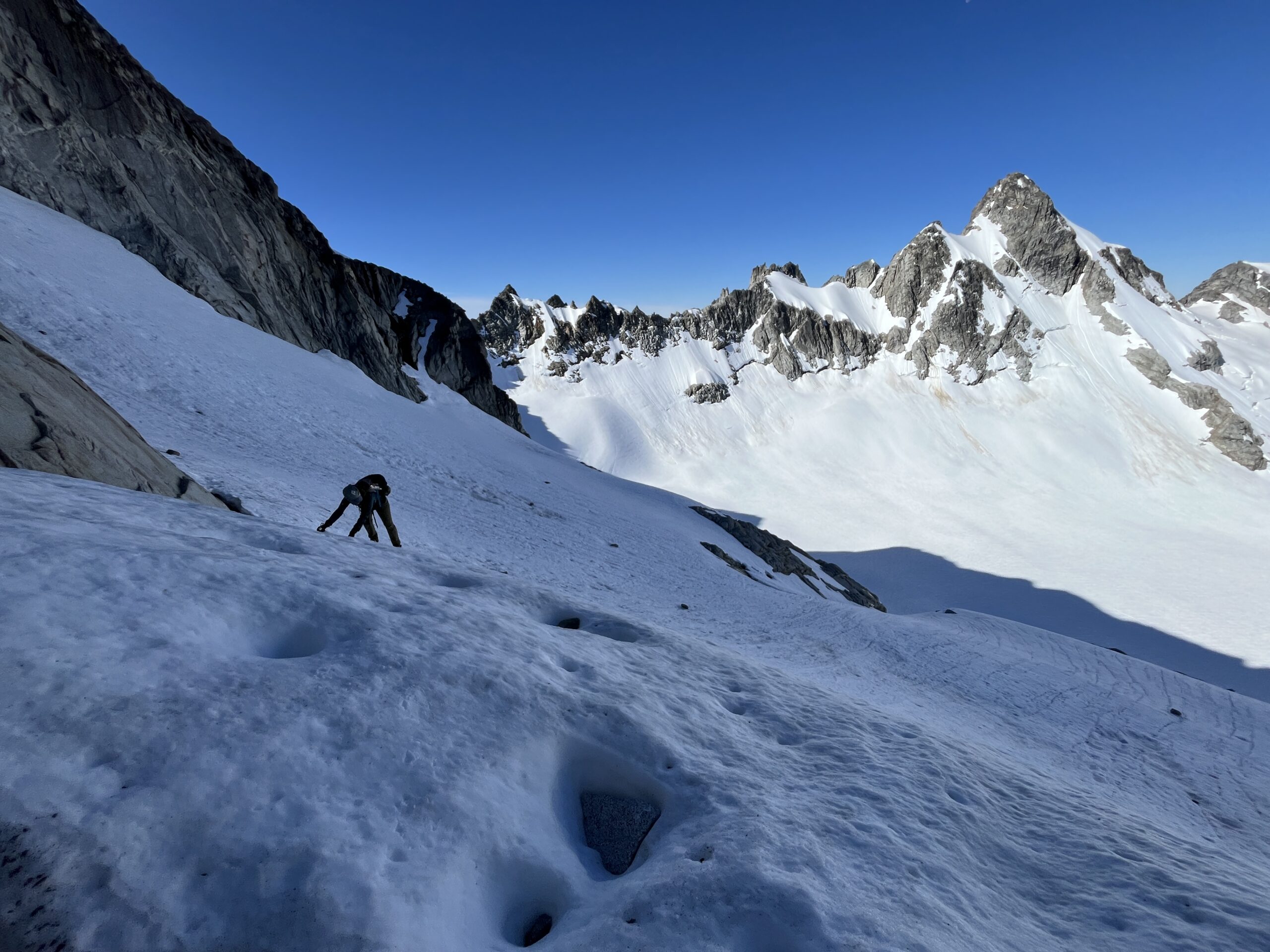
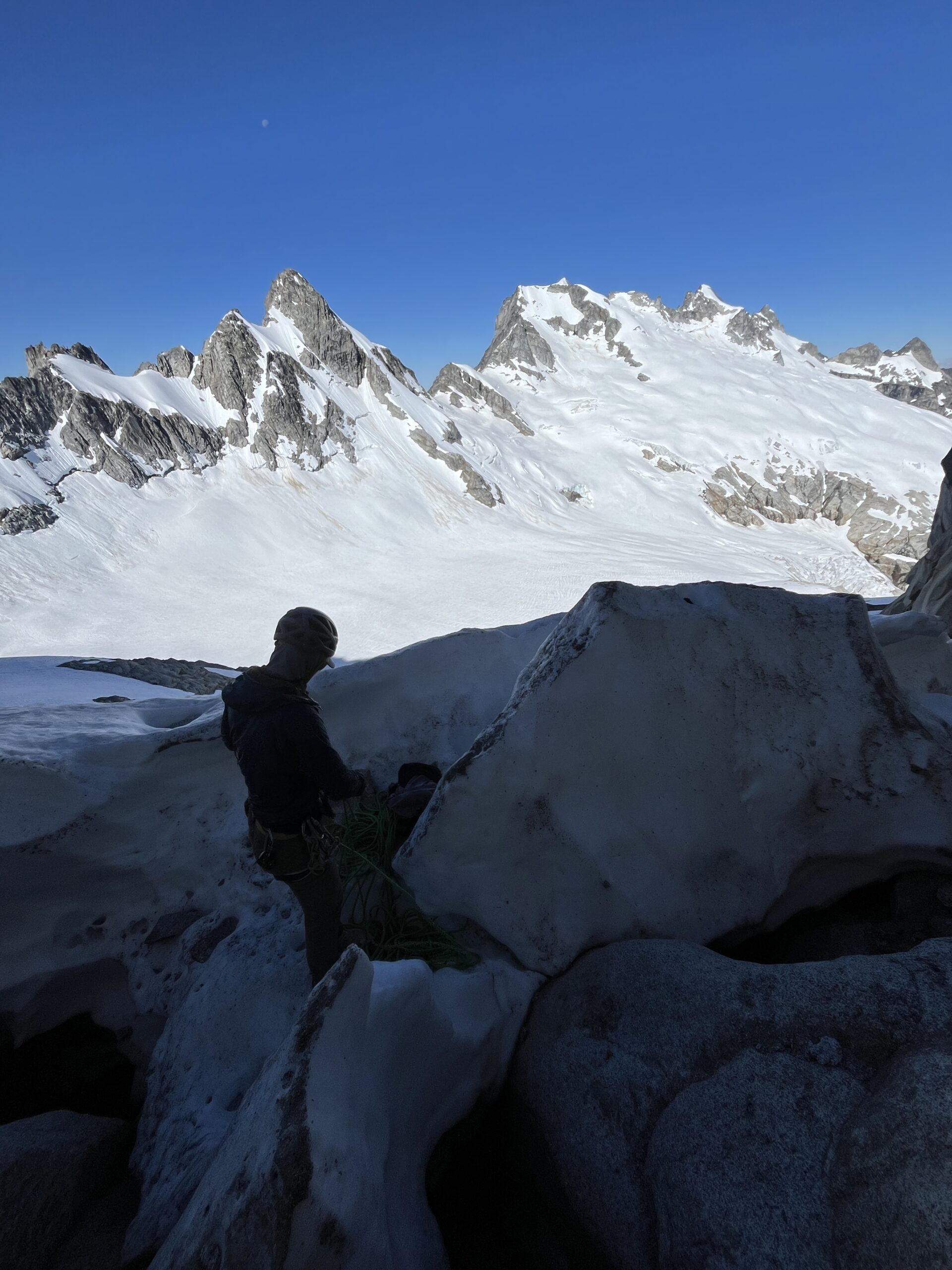
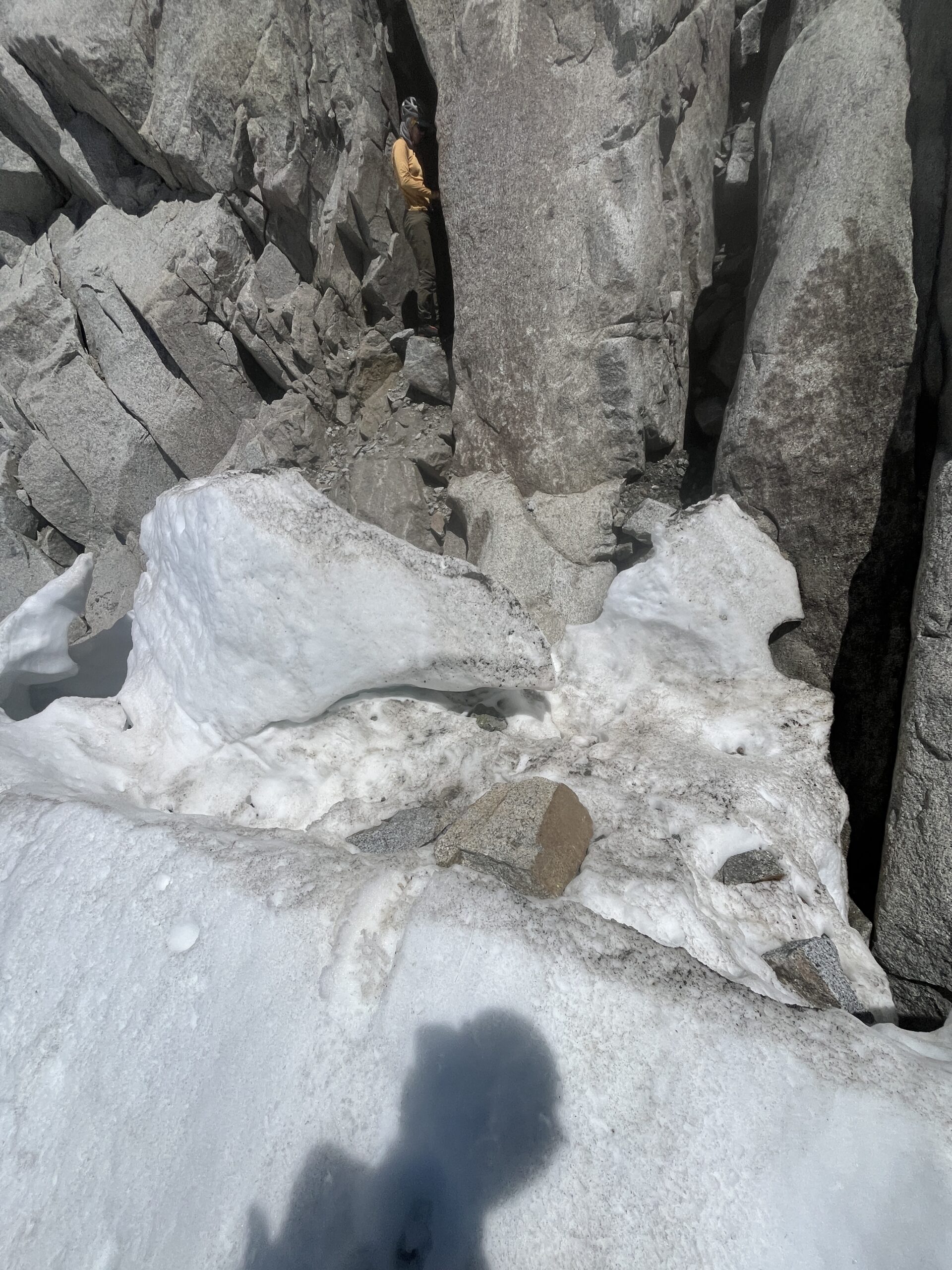
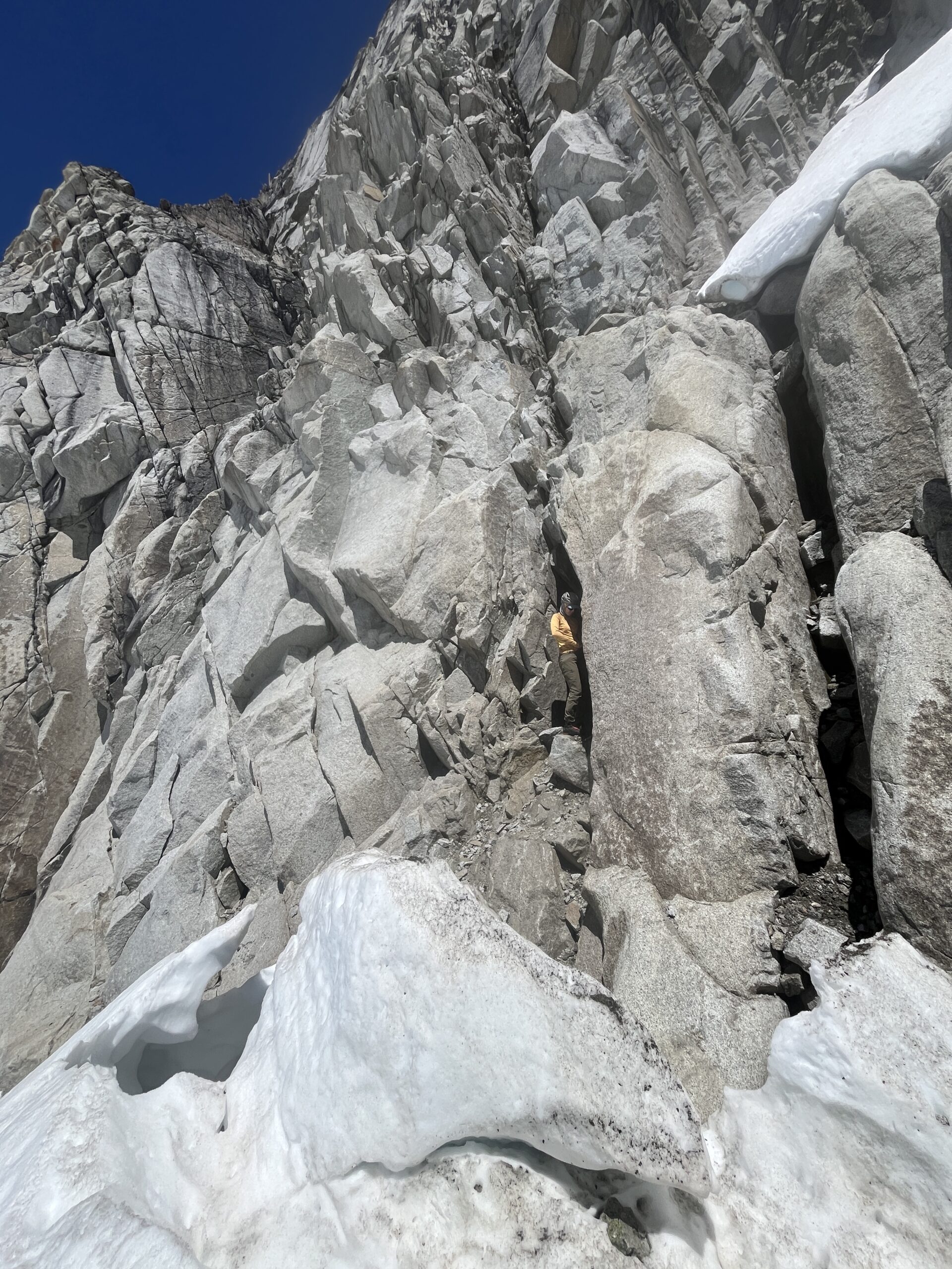
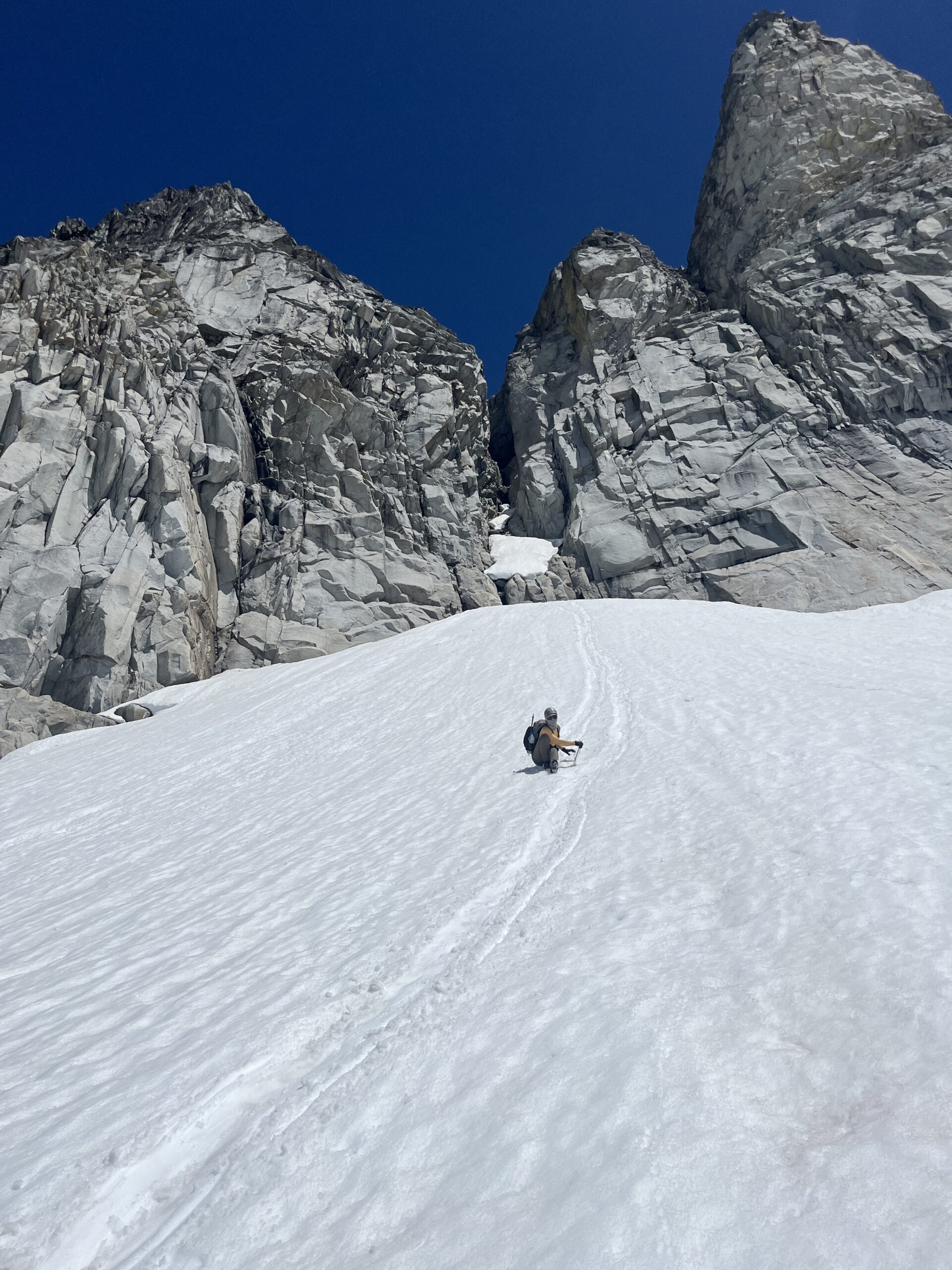
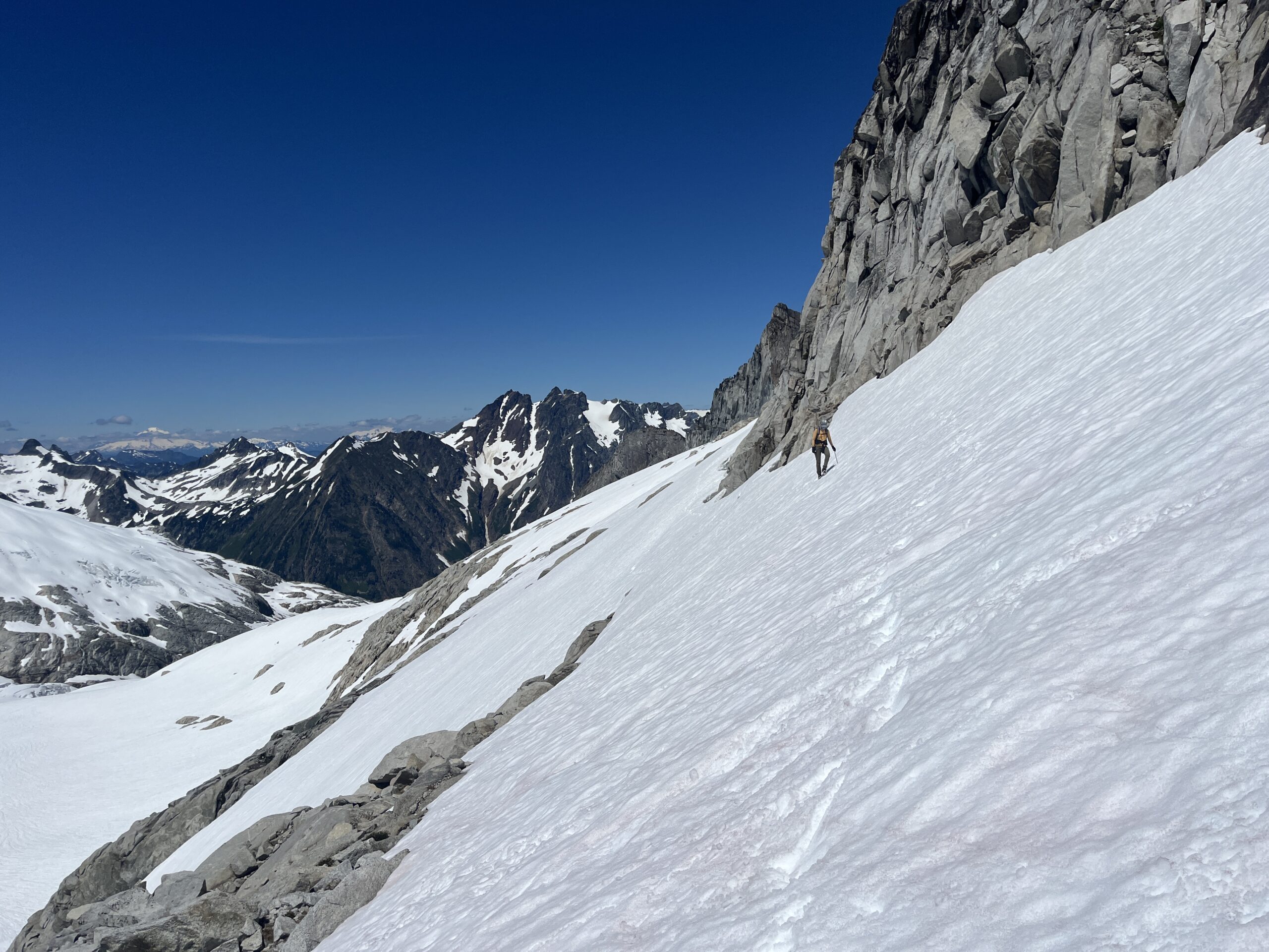
Since we had climbed both Dome Peak and Sinister Peak the day before, we had planned to make an attempt at Gunsight Peak with our extra day. We woke up and were moving around 6:15 a.m. We retraced our steps up and over Peak 7,070 and along the ridgeline up to Gunsight Notch, arriving at the notch at 7:45 a.m. Here we put our crampons on since the snow was still firm from a colder night. From the notch, we dropped part way down towards the Chikamin Glacier and turned directly north, traversing the western snow slopes under Gunsight Peak all way over and up to the rock, just beneath the visible detached snow finger. Here, luckily, some ice and snow had broken off and fallen into the moat – making a nice pad for us to take our crampons off and get our harnesses on. We found a little cave to stash all of our gear before we started up the first pitch around 9 a.m.
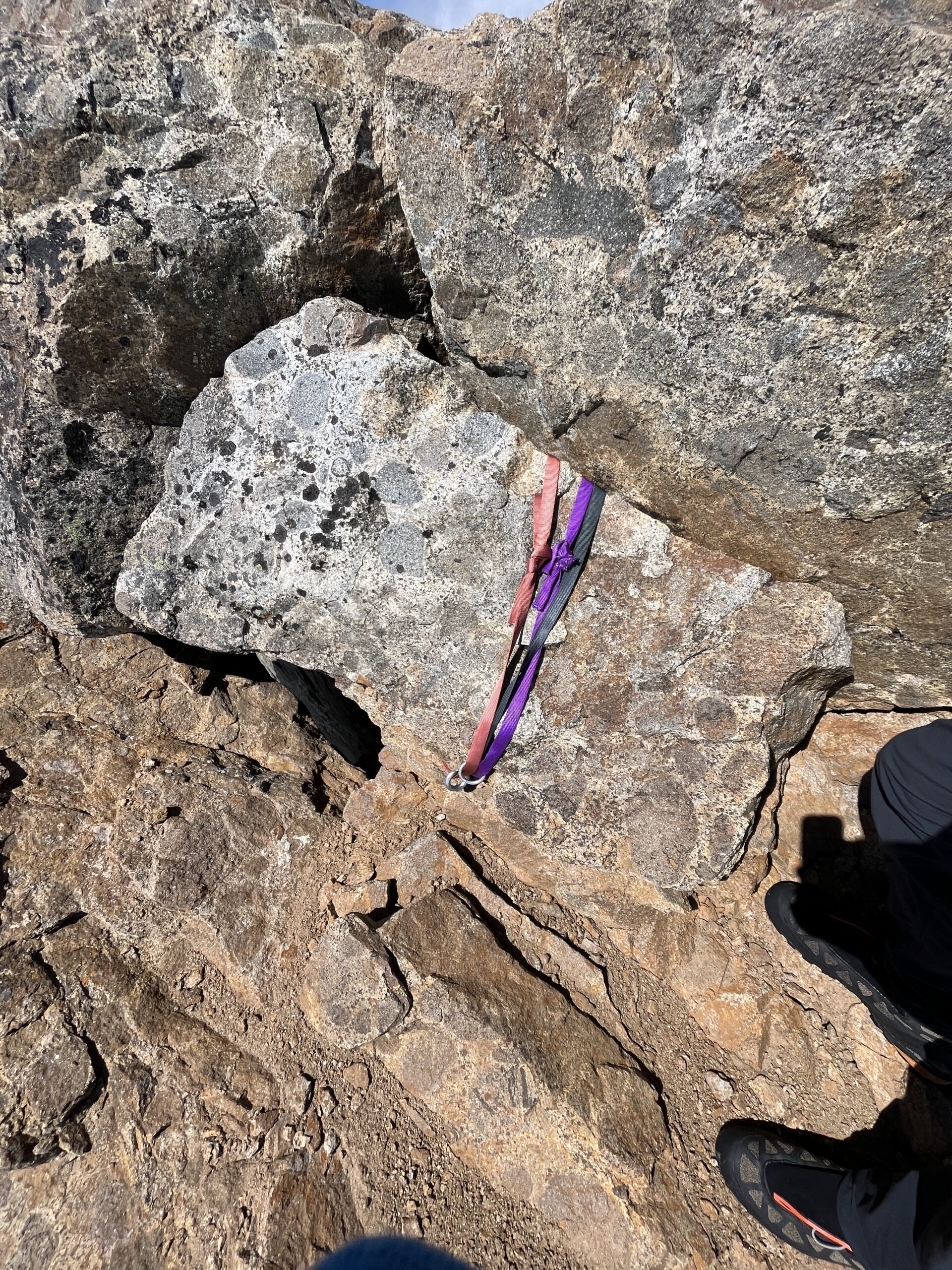
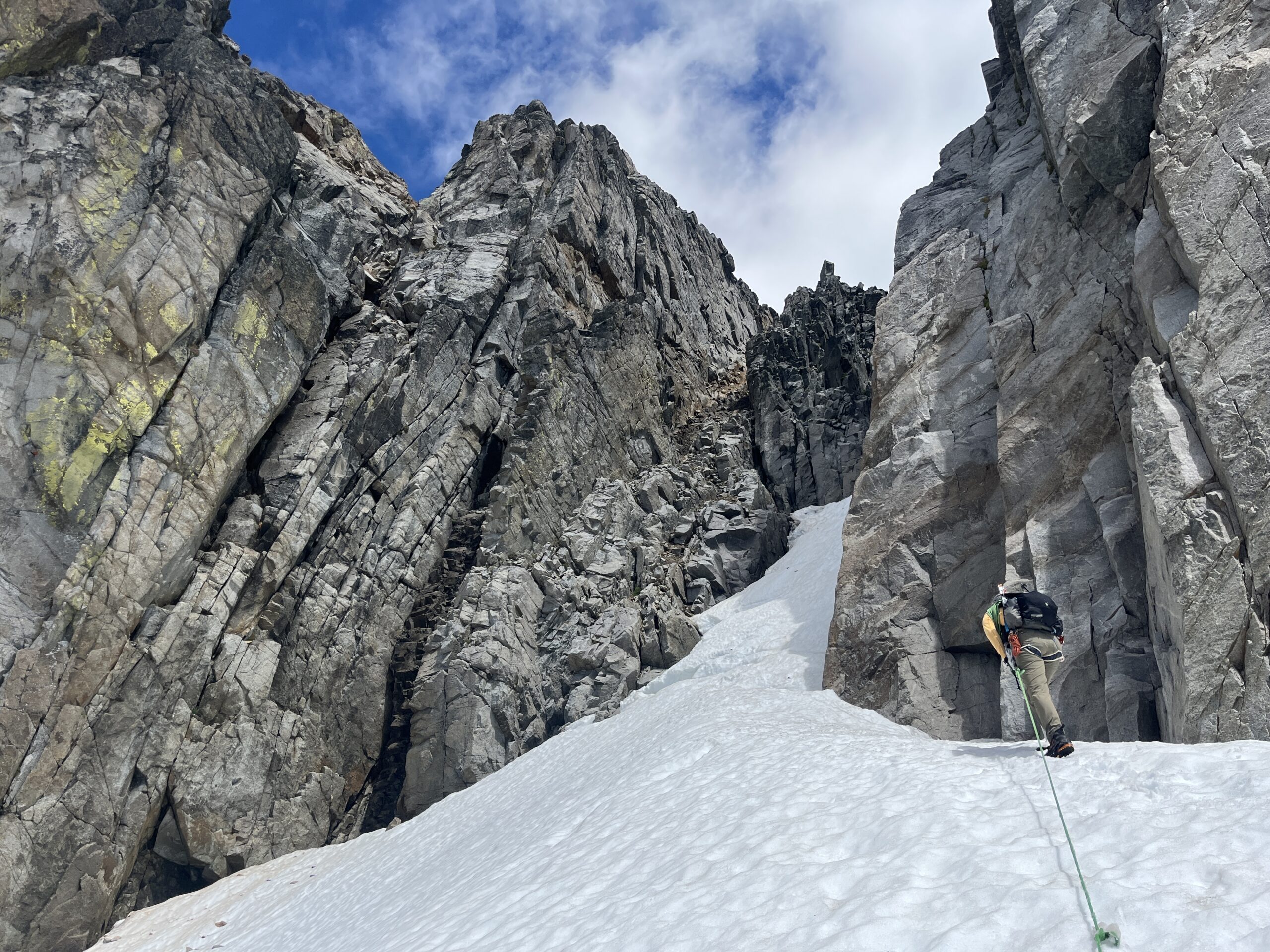
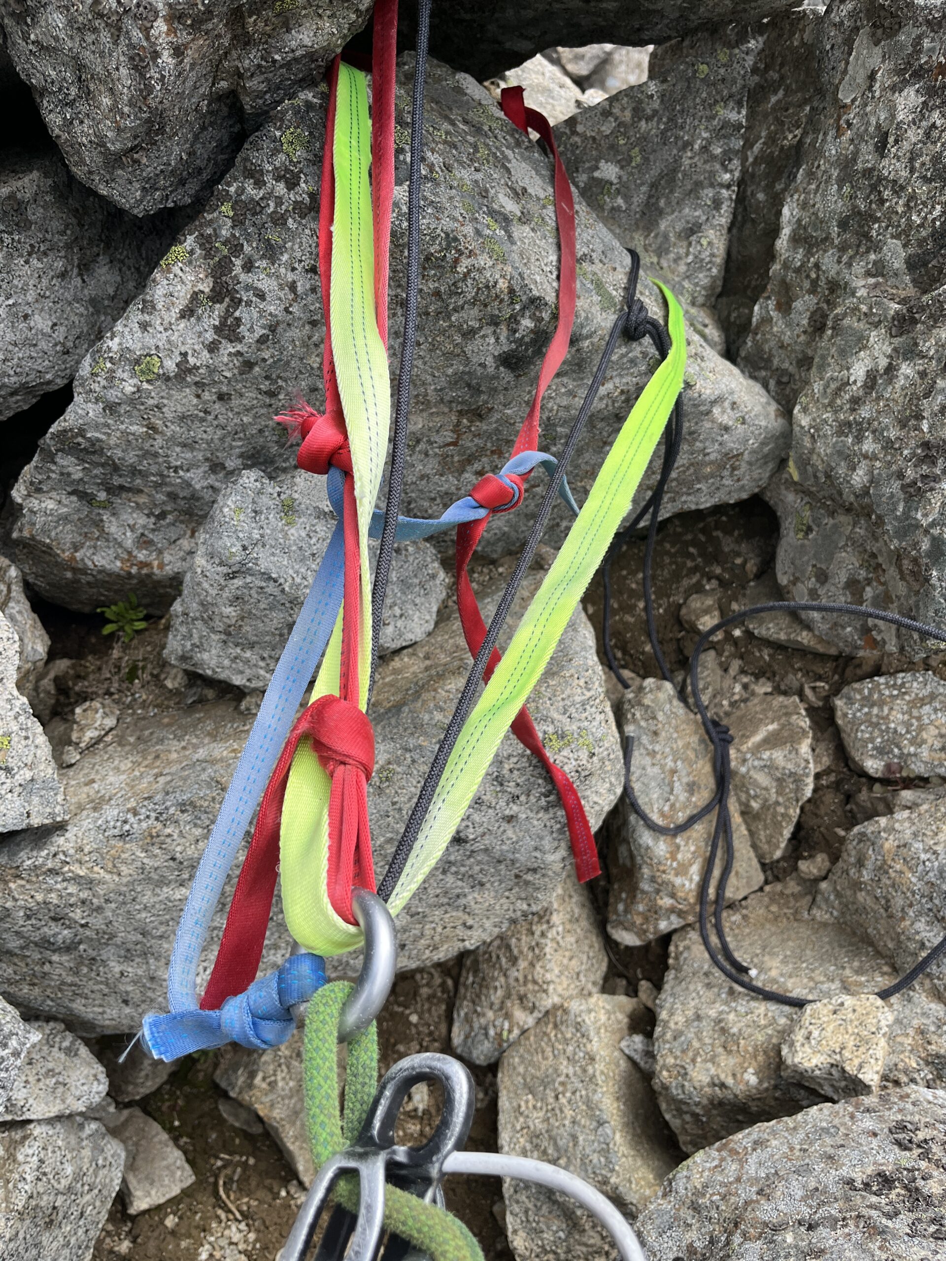
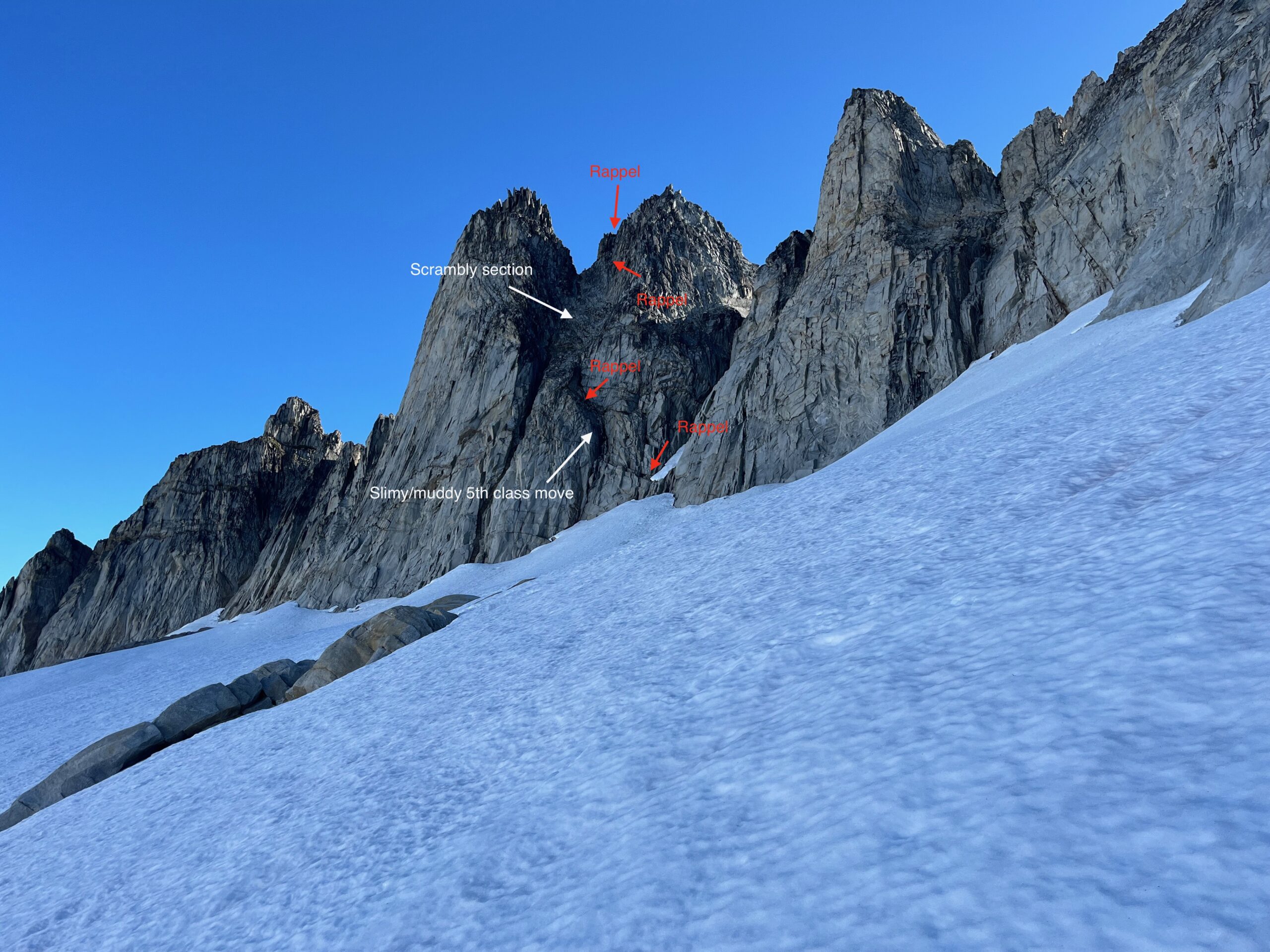
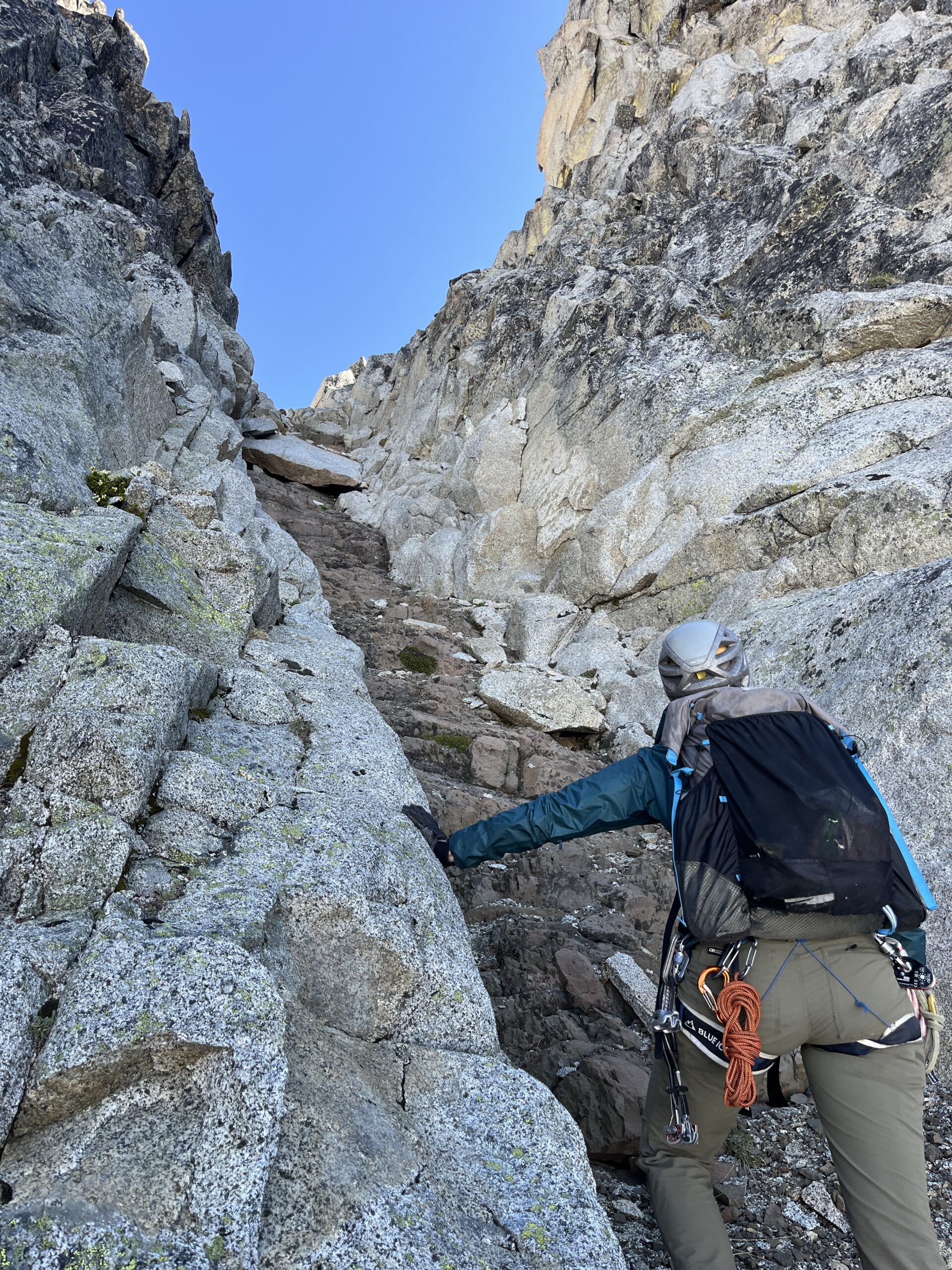
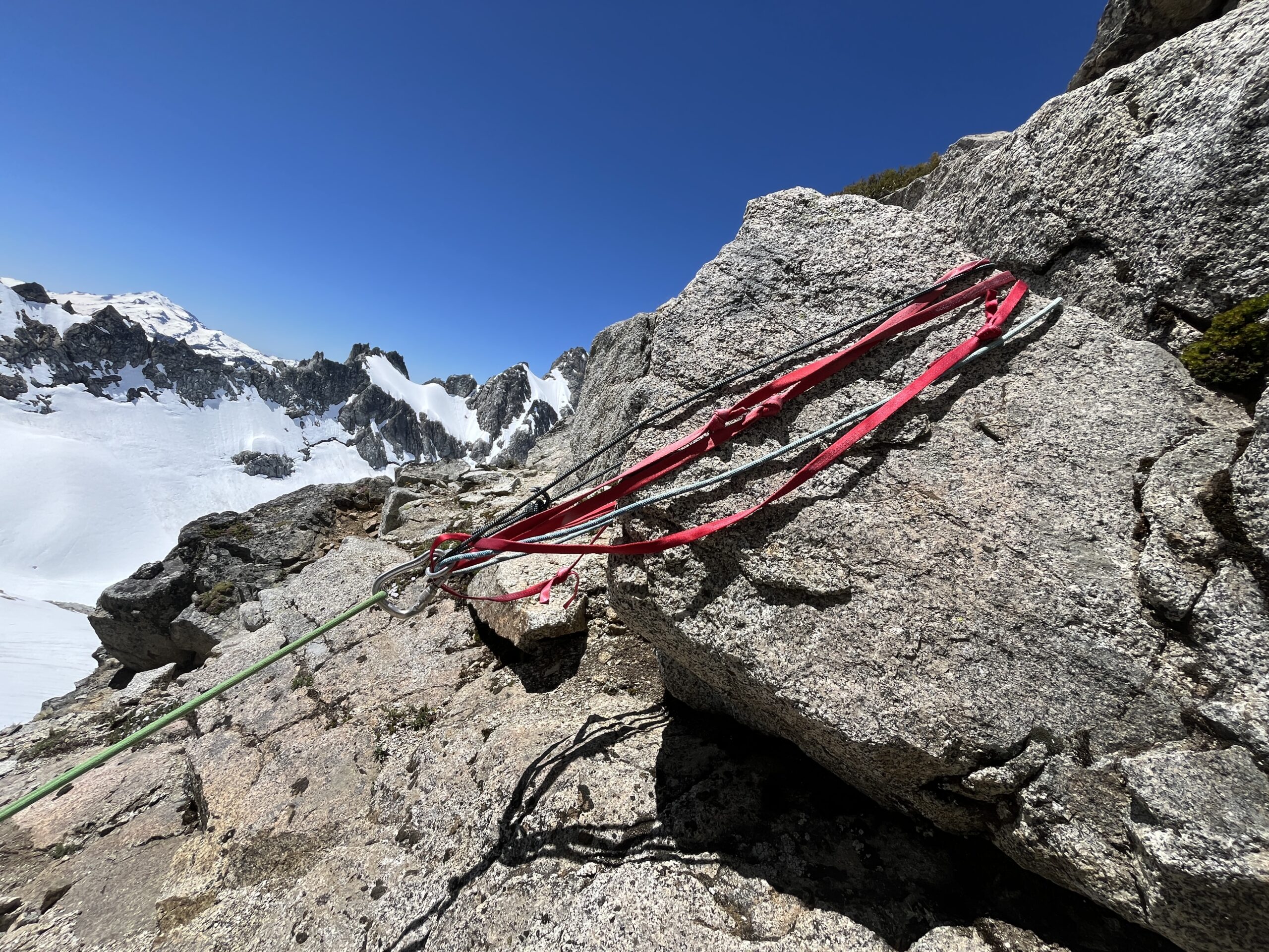
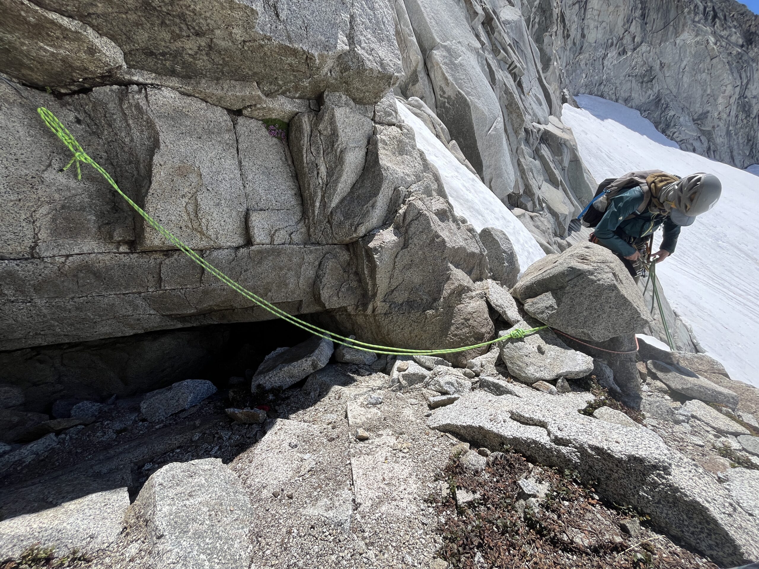
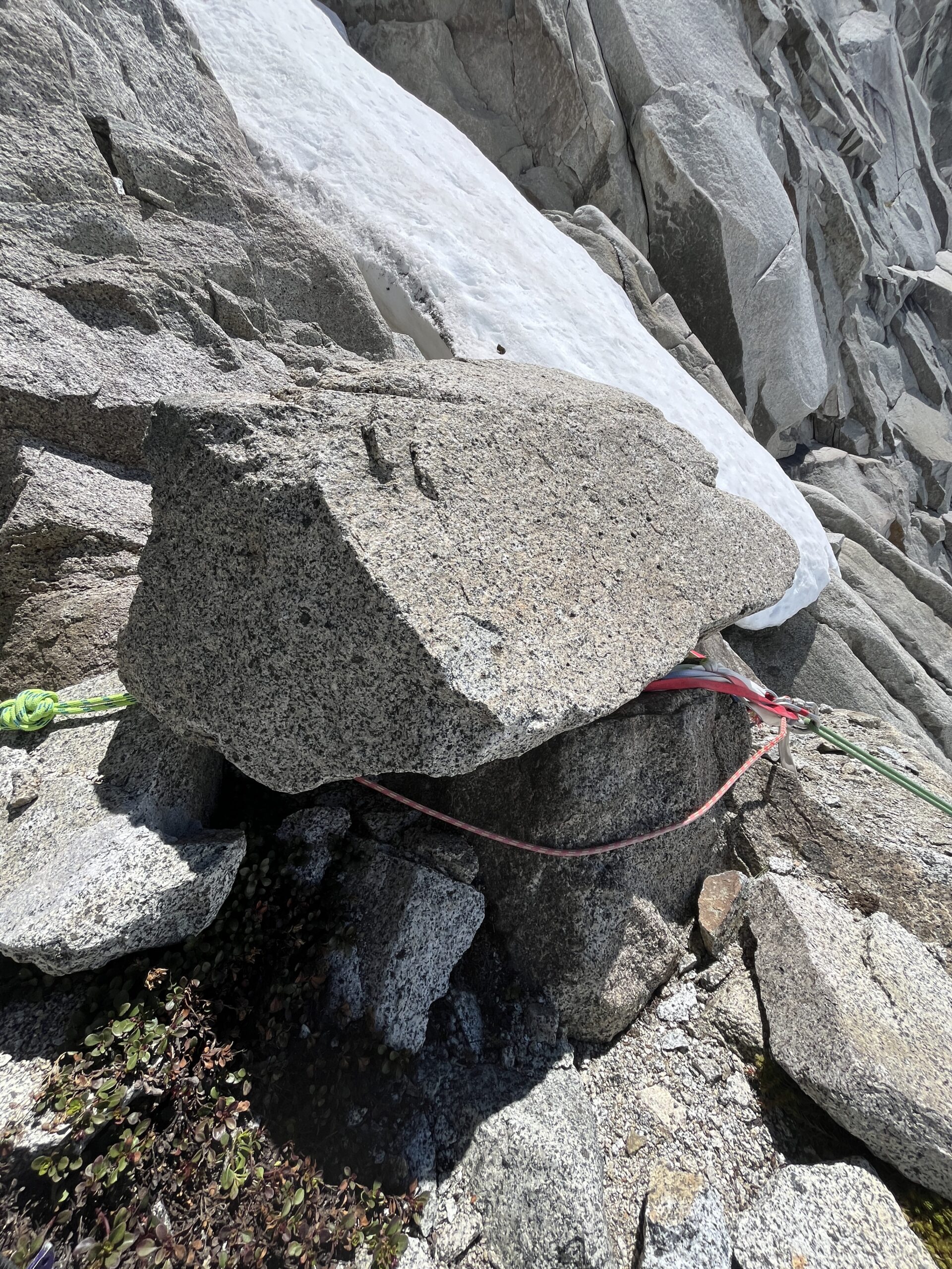
From the cave where we stashed our gear I led a pitch up and out of the cave passing a rap station at the top and made a leftwards traverse on the easy ledges to the base of the muddy/slimy gully/chimney that Beckey mentions. Here I built a belay and brought Carolyn up. I led straight up through the wet chimney mostly avoiding wet rock except for a few moves. I found good gear in the solid granite on the right side of the chimney/gully. At the top of this section I passed a rap station with a bunch of slings around a boulder. Then, I followed the path of least resistance around to the left, which dropped me into the class 2/3 gully mentioned in other route descriptions. I ran a whole rope length out and then built a belay and brought Carolyn up. From here we unroped and scrambled up the large granite gully eventually getting pushed into the darker rock gully on the left higher up just before the ridge notch. At the ridge notch I led a short 50-75 feet traverse pitch eventually finding a rap station around a block below a low 5th class chimney/crack system that is mentioned in other trip reports. From here, I led up and trended left (I should have stayed more straight up) to the ridgeline, passing another rap station right on the ridge, and built a belay. From here, it was an easy scramble pitch to the summit, passing another rap station along the way, where we enjoyed the views and looked through the summit register. We landed at the summit around 11 a.m.
2 pitches from ground. Some class 2/3 scrambling. 1 traverse pitch. 1 pitch to ridge line. 1 pitch/scramble along ridge to summit.
Descent: To get down I led the easy ridge scramble back down to the rap station at the top of the 5th class chimney/crack system where I should have stayed straight. On my way, I collected the rap station material I had passed on the way up to bolster the rap stations below that seemed a bit sketch. I brought Carolyn over and we rappelled from the ridge to the rap station that the traverse pitch ended at. Here I cleaned up the rap a bit and used that material I had collected to add to the rap station. From this rap station, we rappelled straight down, avoiding the need to traverse back to the notch and the darker gully. This put us onto the ledges where we had unroped to scramble up, so we scrambled those back down to the rap station at the top of the muddy gully/chimney pitch. We rapped from here all the way down to the fourth class ledges and then made one more rappel back down to the cave that we had started the route at around 12:45 a.m.
Scramble/lead to ridgeline rap station. Make 2 raps to scramble gully. Scramble down gully to above muddy chimney pitch. Make 2 raps back to snow/cave.
Once we were back on the snow, we packed up our gear and retraced our steps back to Gunsight Notch. We did put our crampons on part way through as the snow was still a bit firm. We were back at camp around 2:45 p.m. Then, we packed up our camp and started the journey back down towards Agnes Creek around 3:30 p.m. We just had to make it to the trail and a camp within a distance of High Bridge to catch the 9 a.m. bus the following morning.
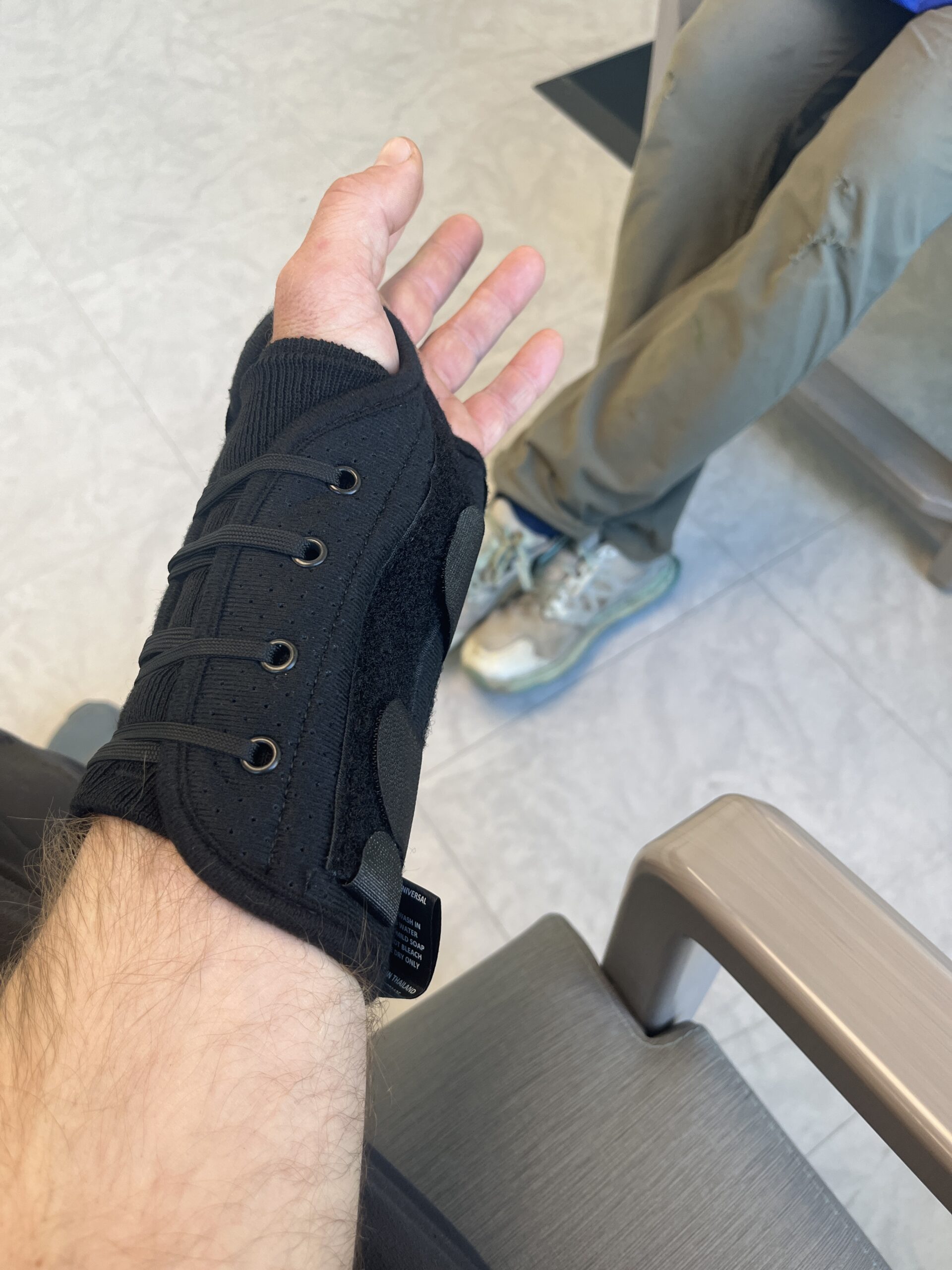
Unfortunately, on the way down as I was side hilling at around 6,400′ I slipped and landed very hard on my left arm. I felt something crack in my wrist and felt some immediate pain followed by a loss of range of motion and swelling. I was pretty sure I broke my wrist! Carolyn and I rigged up a sling with my rain jacket, I took a bunch of ibuprofen and she took some weight out of my backpack. Then, we proceeded to make our way back down while I had one arm in a sling and the other with one trekking pole. I have to say, bushwhacking in slide alder and vine maple is more difficult with one arm in a makeshift sling.
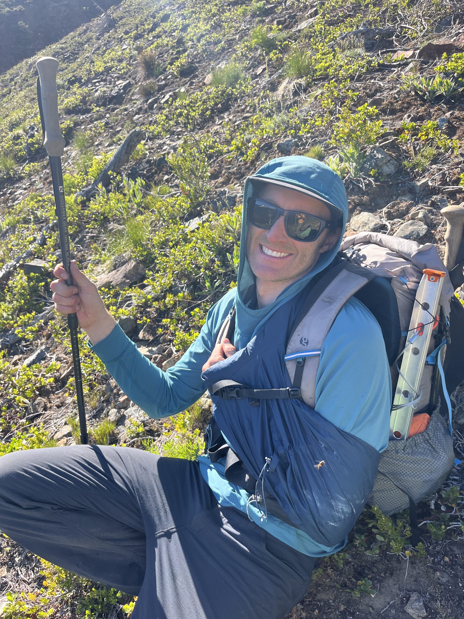
We hit the PCT at 8 p.m. and I soaked my wrist in the river while some bruising formed. We had assessed that the injury did not require immediate evacuation as I still had good circulation, sensation and motion in my fingers and hand so we hiked to Swamp Creek Camp arriving around 9 p.m. I did what I could with one hand to help setup camp, then we ate dinner and went to bed. I slept poorly as I was trying to protect my wrist all night.
Day 4 – Hike out to High Bridge and head to Chelan
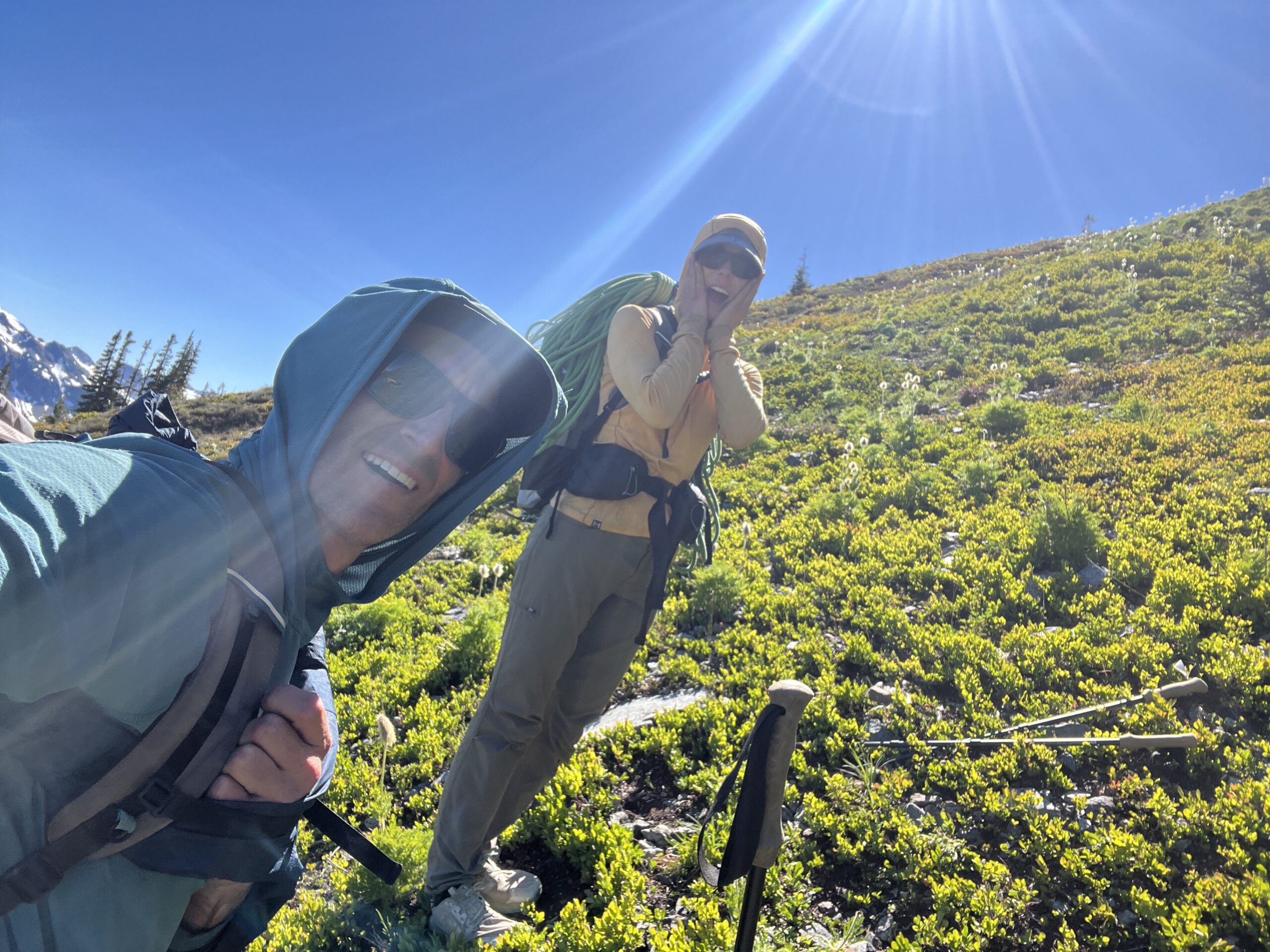
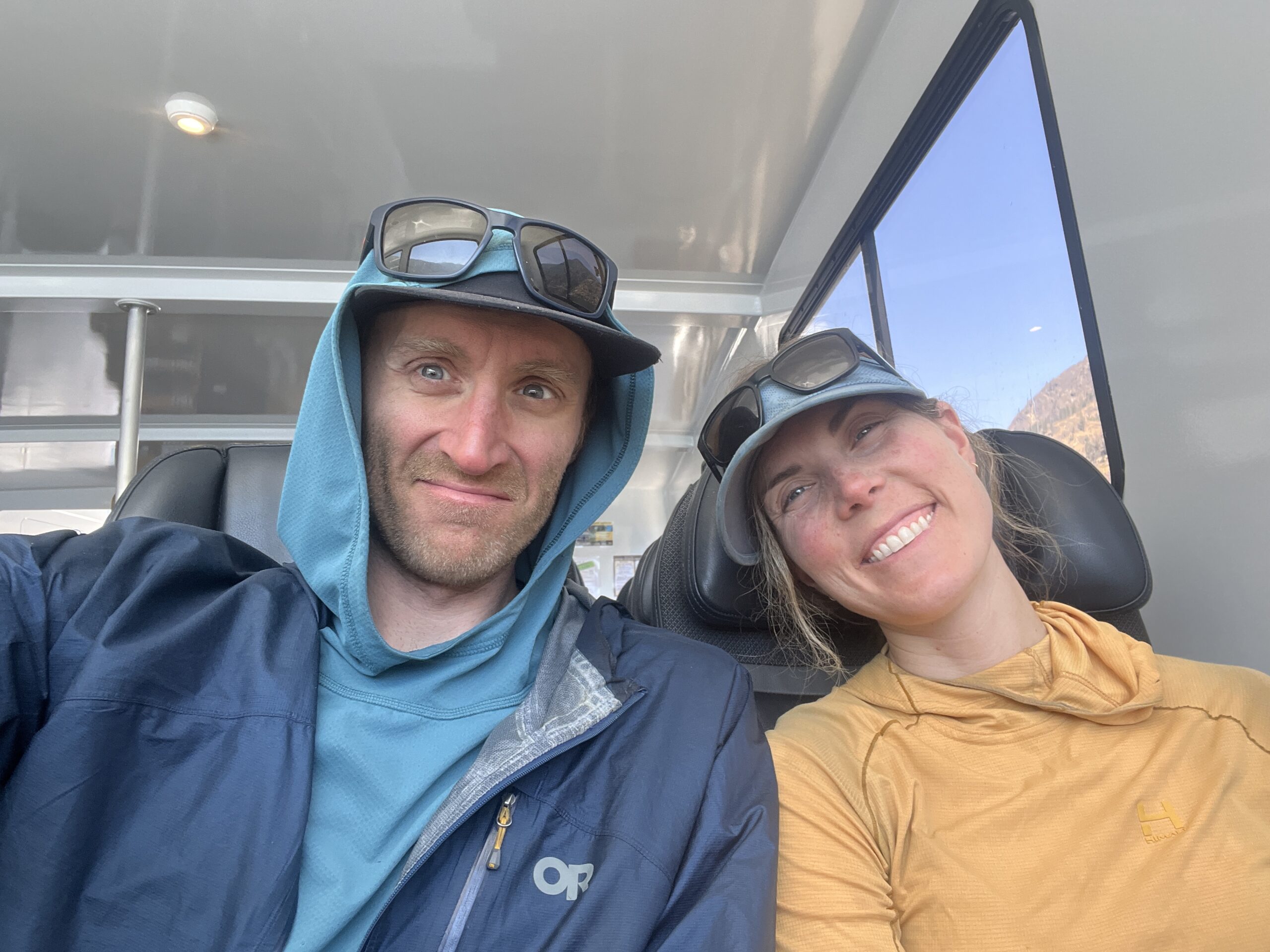
We had to be at High Bridge at 9 a.m. to catch the bus back to the ferry and we still had 8.5 miles to get there. We woke up at 4:15 a.m. since it would take us a longer to get going with Jeff’s injury. We left around 5:30 a.m. Along the way we ran into a black bear eating berries on the trail who we avoided by giving a wide berth. We took one quick break at Five Mile Camp and were able to make it back to High Bridge just in time to catch the bus. Another quick stop at the bakery for some injury soothing baked goods and coffee and soon enough we were on the boat back to Fields Point.
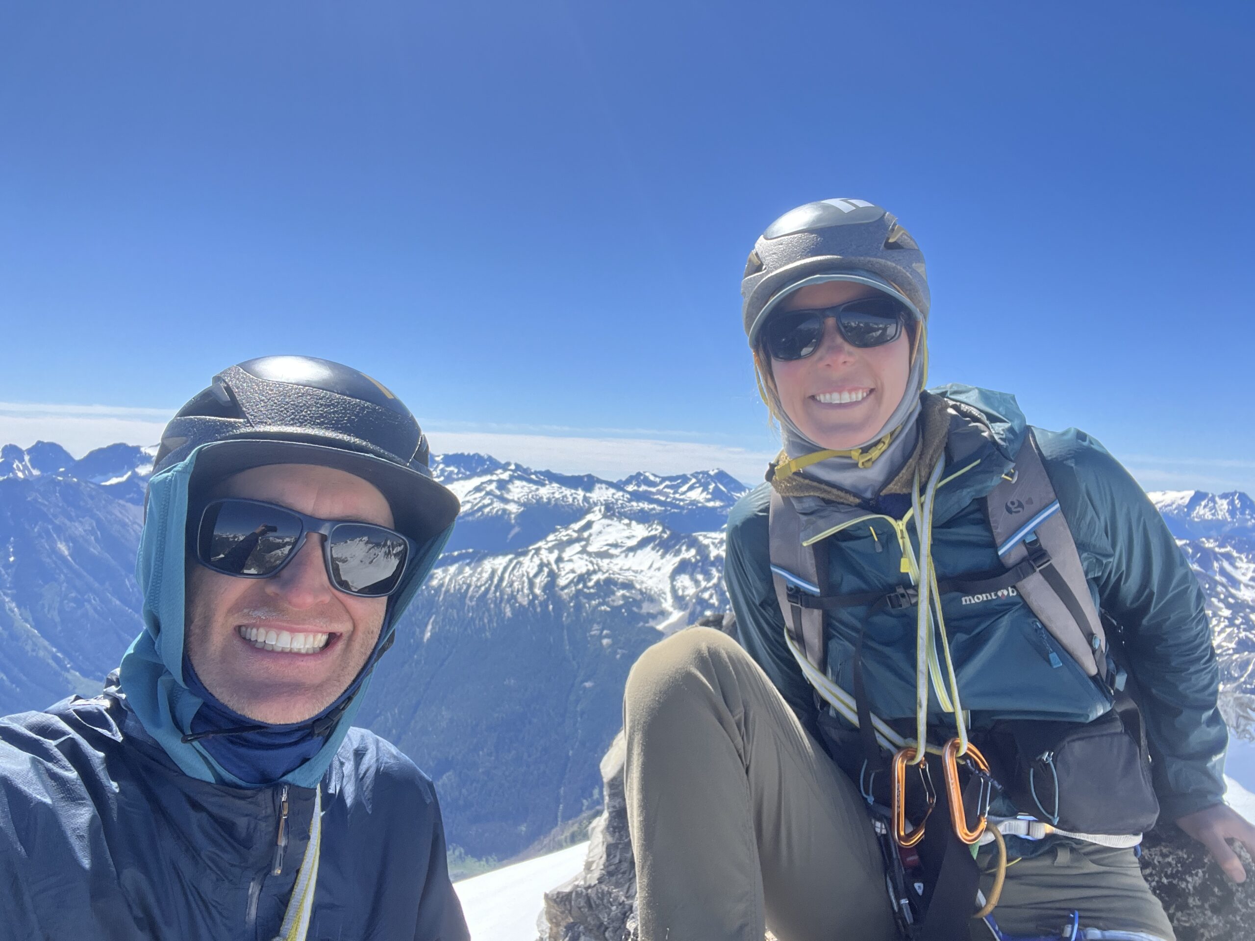
A few hours later we were headed to an urgent care clinic in Chelan where Jeff got an x-ray confirming that he had broken his wrist and would need 6 weeks heal time. After some pizza and a beer in Chelan, we headed back home to the Methow Valley. What an amazing trip, with a somewhat unfortunate ending! The Cascades, as always, are stunning!
Gear Notes
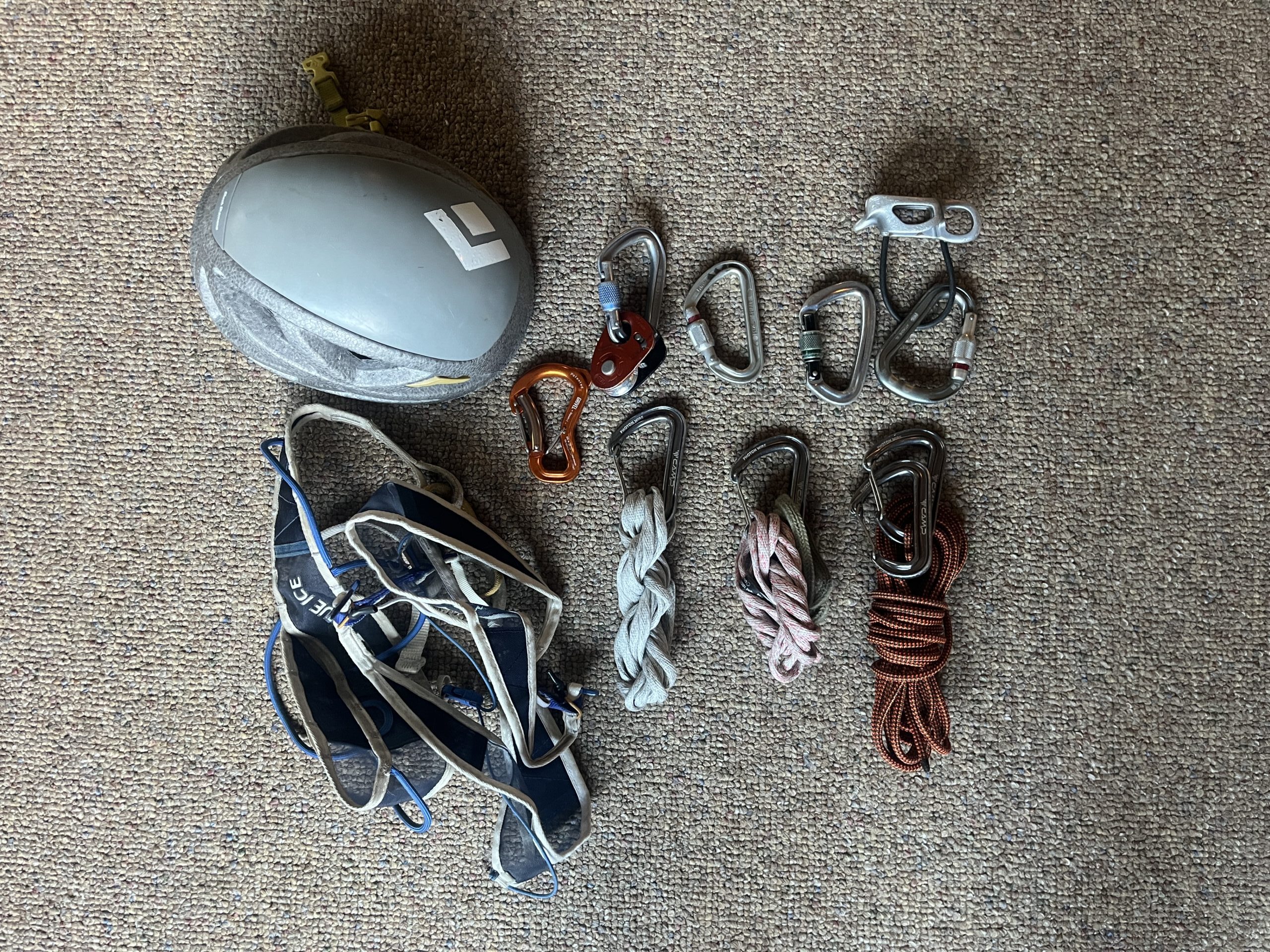
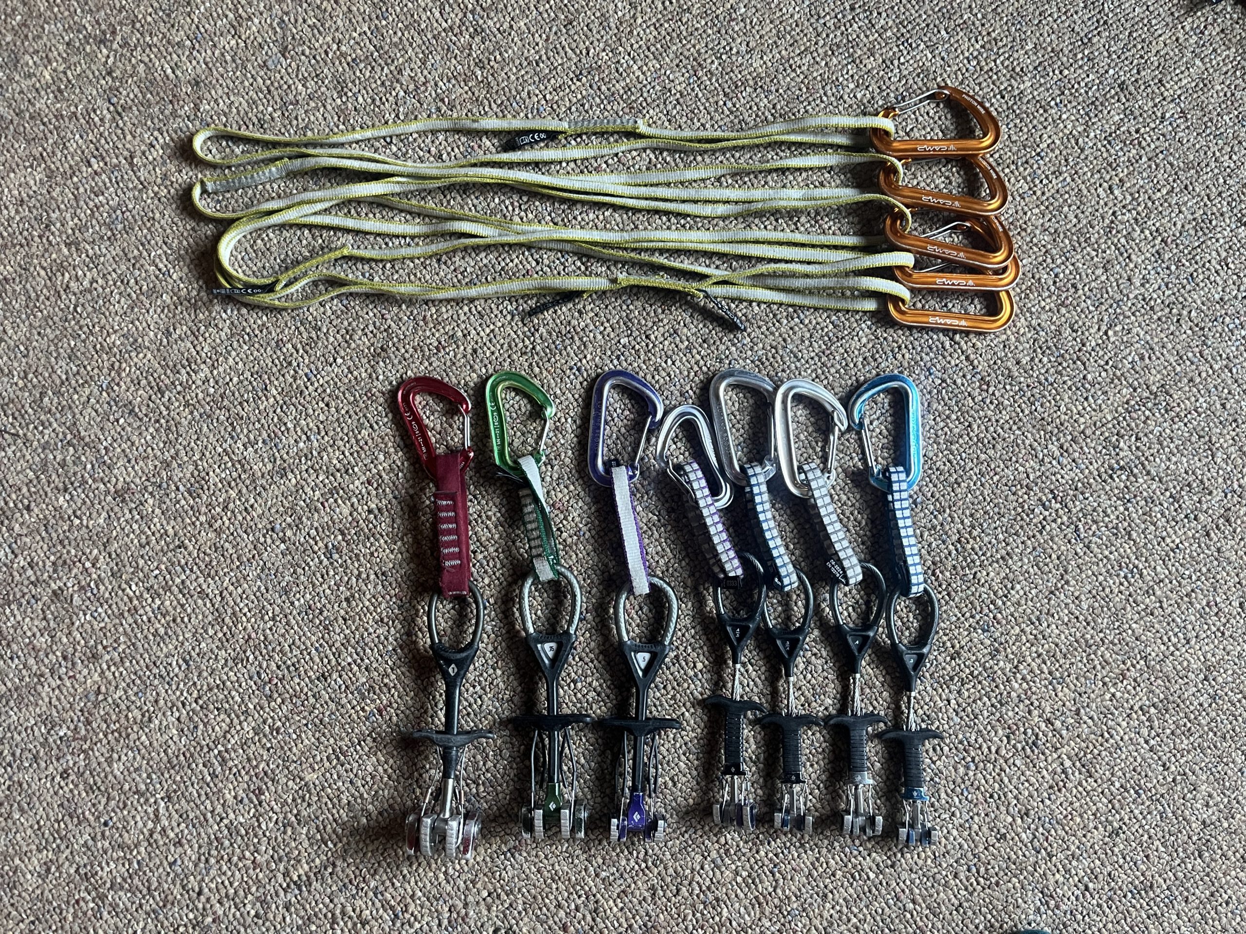
As usual we brought the required overnight gear to camp out for three nights. On top of this we carried ice axe, crampons, helmet, harness and the required glacier travel and crevasse rescue kit. We were not sure if we would need any rock protection, but we did end up bringing a light alpine single rack and a few alpine slings along with our 60 meter rope. We were glad we did, as we used our rock protection at the very top of Dome Peak and for most of Gunsight Peak.
Below are pictures of some of the gear that we brought.
Resources & Links
Below are some useful trip reports and resources that we used while we were planning this trip.