Trip Report
Isolation Traverse
Trip Overview
We had a few friends coming into town for a week-long trip and we had hoped to go out into the Northern Pickets, but because of recent injuries and the Luna fire that started recently we decided to make a different plan. We attempted to obtain a permit for the Devils Dome Loop, but then the Ptarmigan Fire closed a bunch of the trails out in that area and we eventually landed on trying to do the Isolation Traverse from Pyramid Lake TH on Hwy 20 to Edlorado TH on Cascade River Road. We mainly used this trip report as our guide and the description we found to be pretty accurate with some decision making along the way.
We picked up our permit on Monday morning from the Marblemount Wilderness Information Center, shuttled a car the to Eldorado TH and then drove back to the Pyramid Lake TH. Then, we took the next 5 days and headed up to the Colonial Glacier and over to the Neve Glacier, dropping over the west shoulder of Snowfield Peak to the lake below Isolation Peak. Then, we found a way over the shoulder of Isolation Peak, dropped into the flat ridge above Wilcox Lakes and make our way up and over Backbone Ridge. We walking along the southwest slopes of Backbone Ridge and up and up through the col between the Dorado Needle and Eldorado, eventually making our way down to the car on the Eldorado Peak climbers trail.
Day 1 – Hike to Colonial Lake
Jul 27, 2026 07/27/2026
We picked up our permit in Marblemount around 7:30 a.m. Then, we shuttled a car to the Eldorado TH and ate a quick lunch in the parking lot while we made sure we left all the needed things in the car for the end. We then went to the Pyramid Lake TH arriving around 11 a.m.
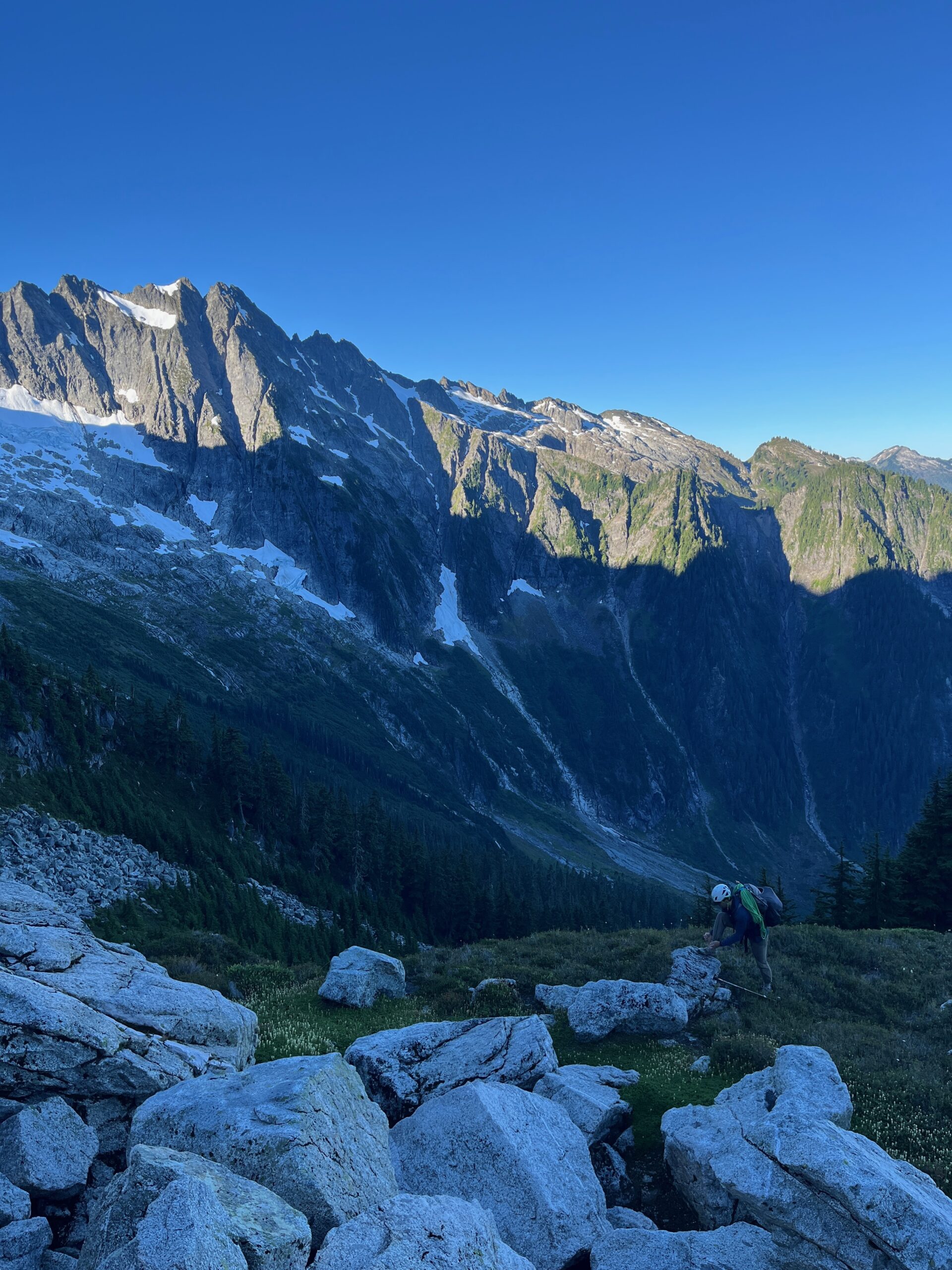
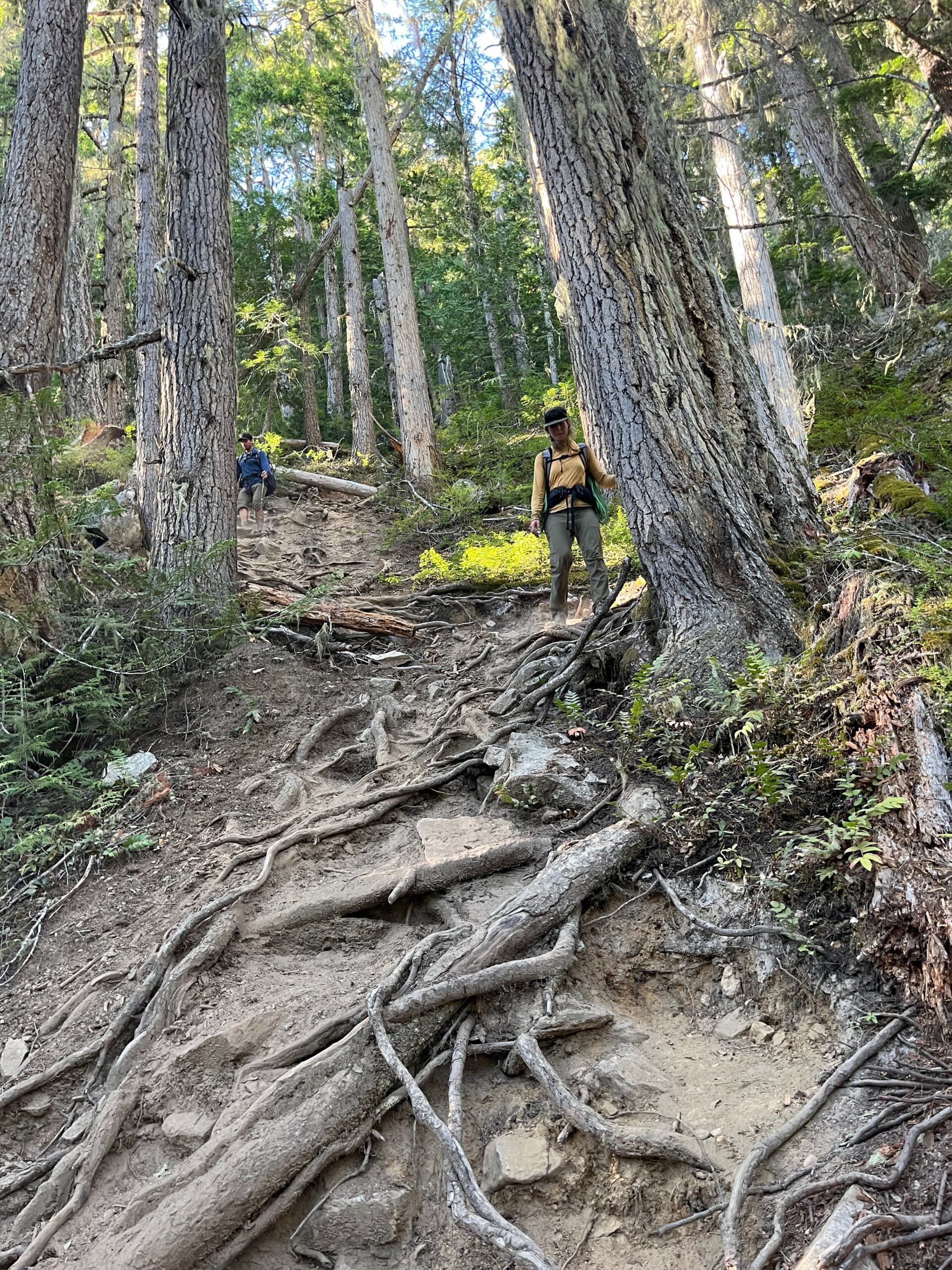
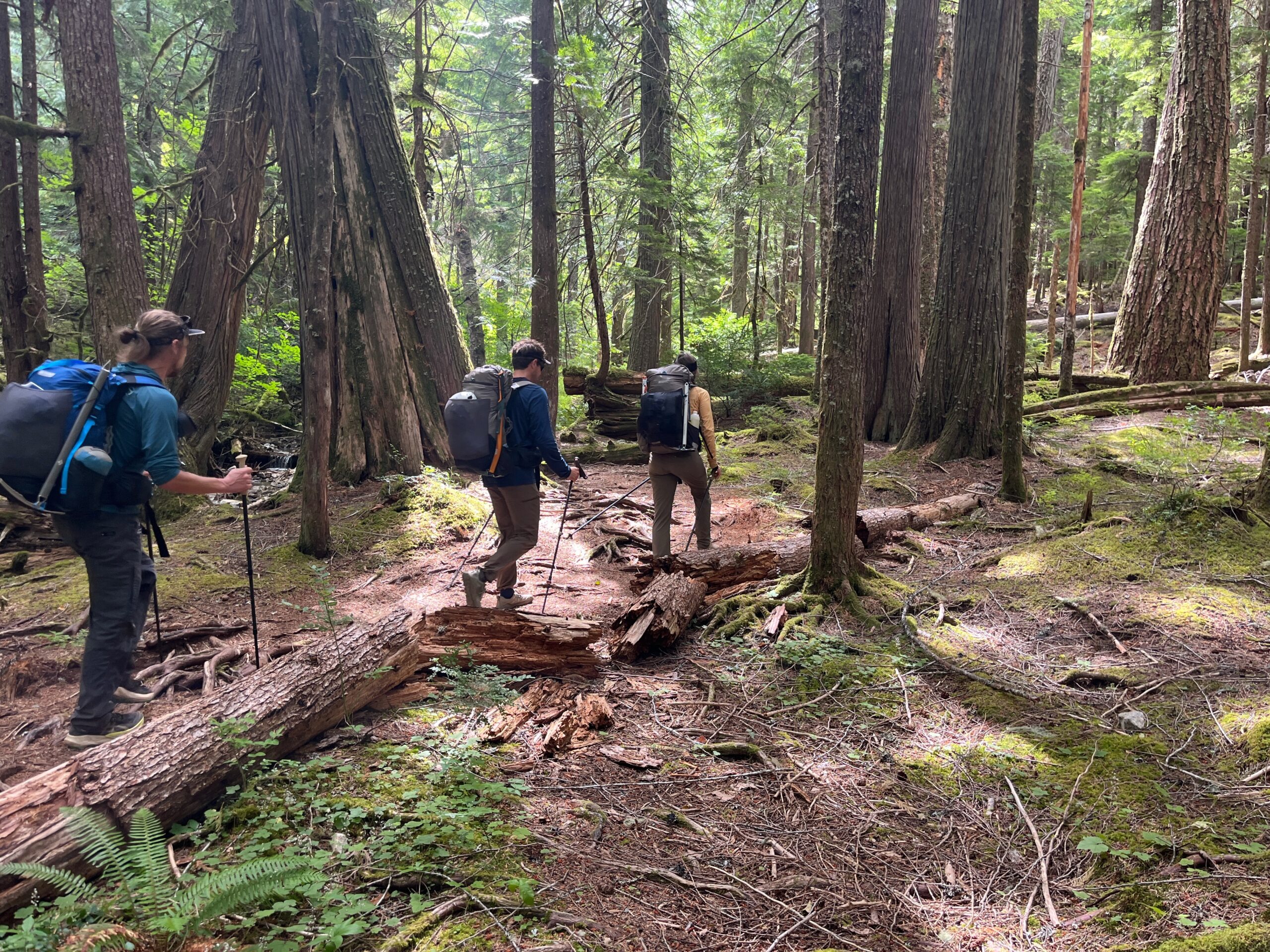
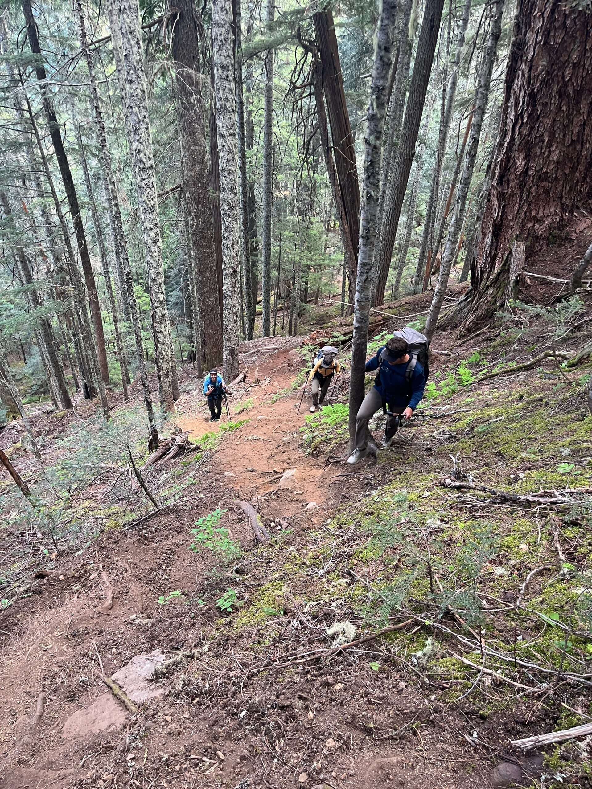
We started a bit after 11 and it was a warm and humid day hiking to Pyramid Lake. We took a quick snack break there before starting up the really well defined climbers trail. This seemed more well worn than when we were here a few years ago and, though it was steep with some root grabbing and rock scrambling throughout, it was very easy to follow. Eventually, after the final steep section we got above tree line on the northeast shoulder of Pyramid Peak and followed well defined trail to 5,800’.
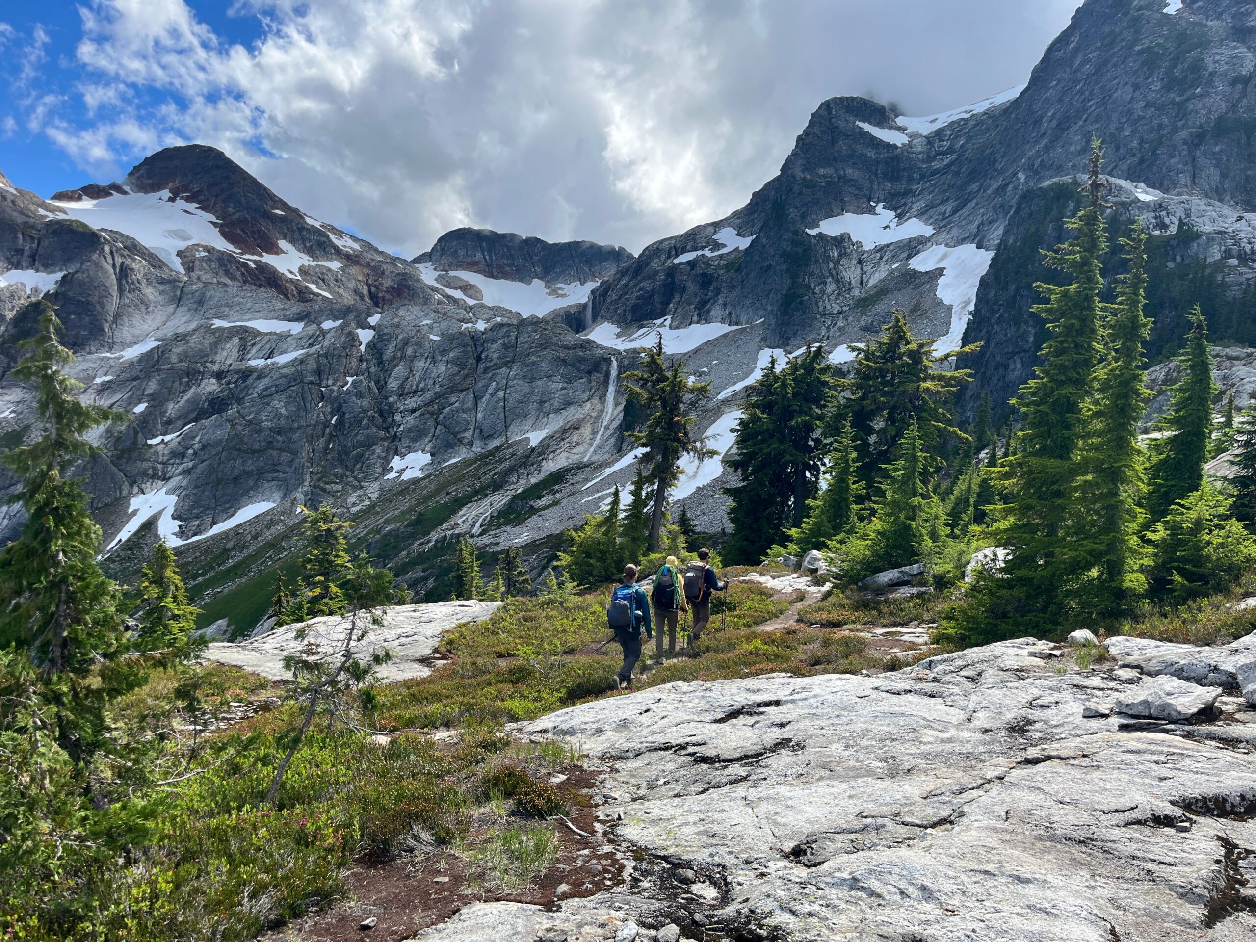
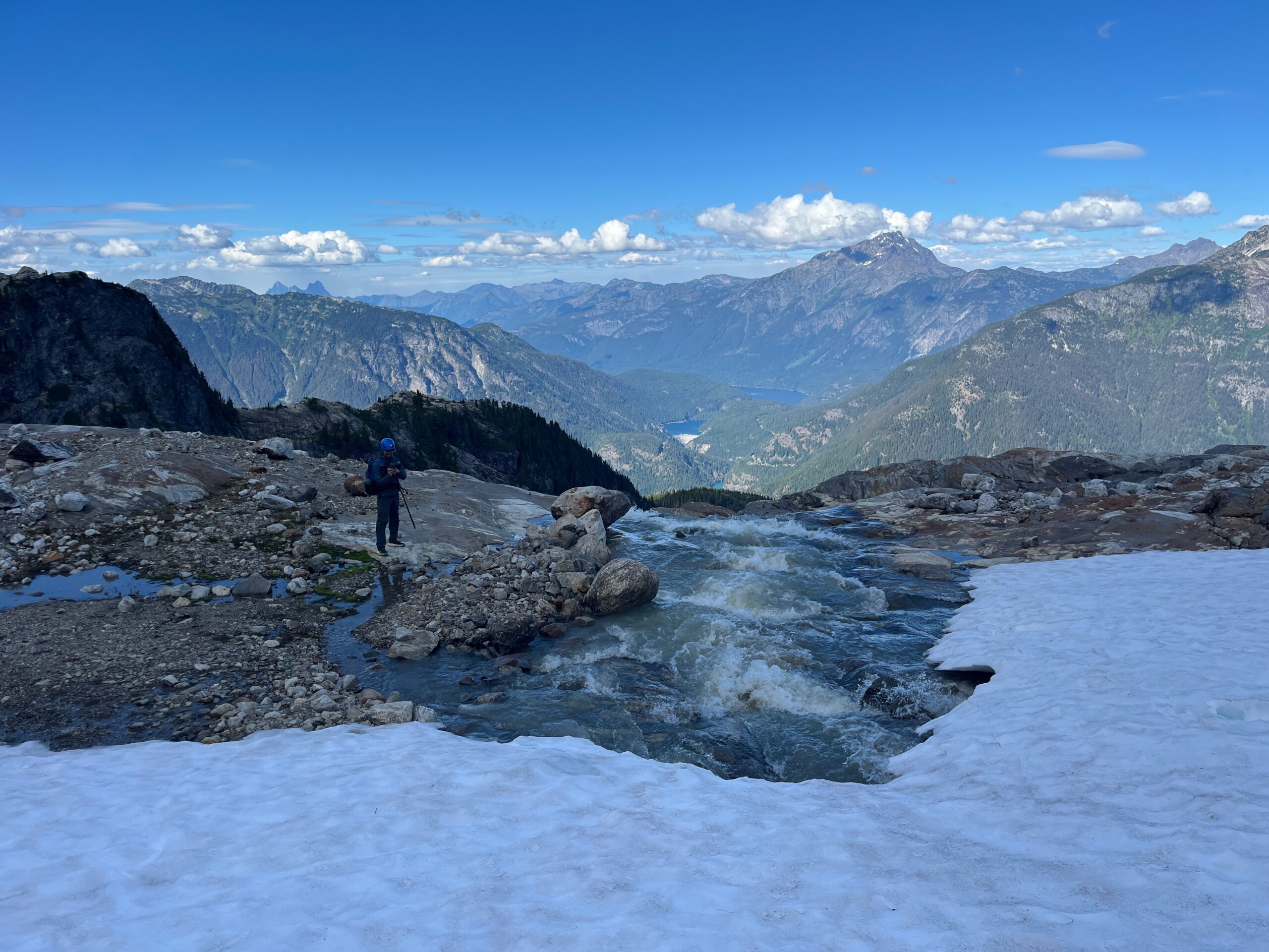
From there we made a traverse across one snow patch, dropped below another snow patch that was hollowing out with running water underneath (despite seeing previous boot prints traversing it,) and then followed mellow snow up to outlet of Colonial Lake and Colonial Glacier.
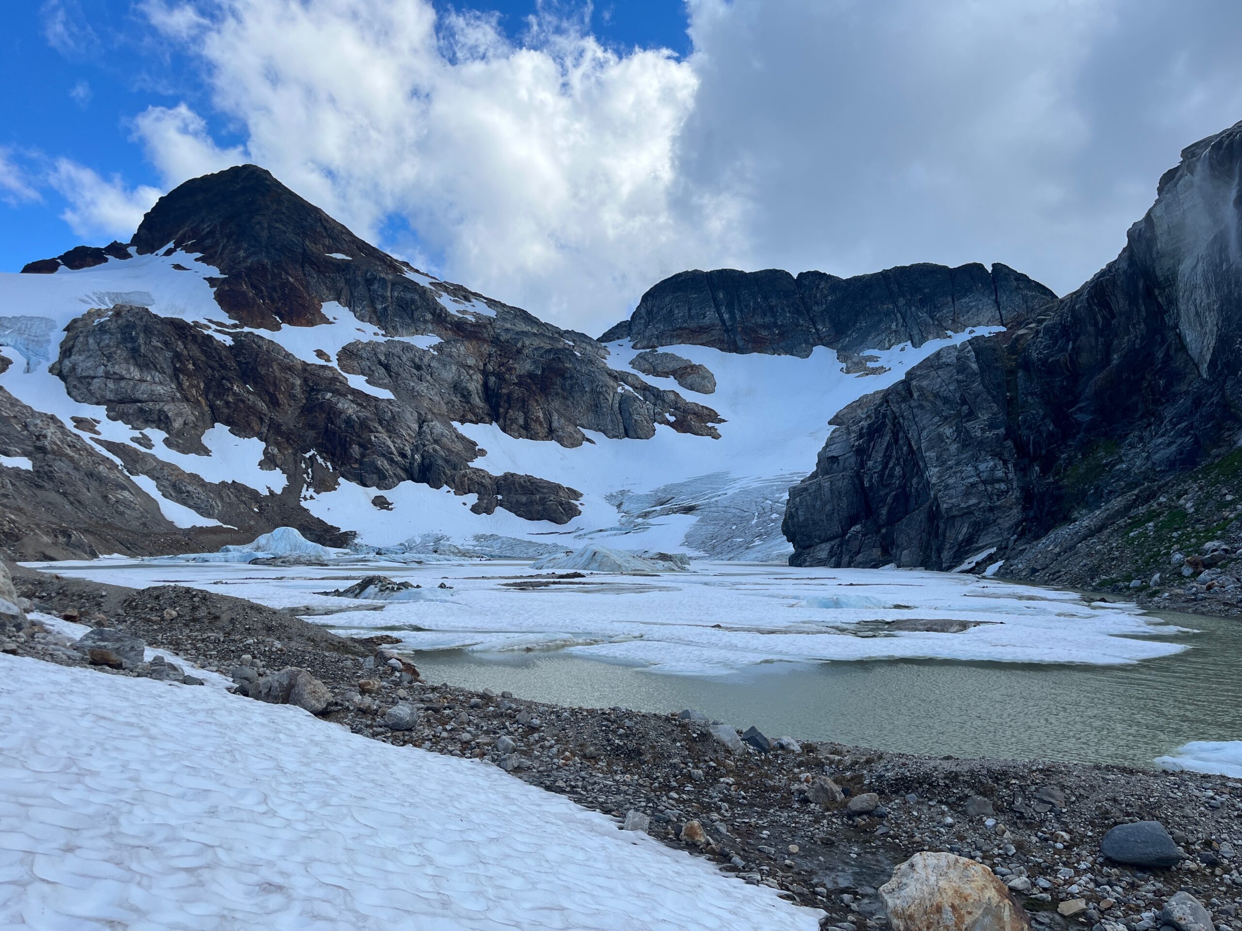
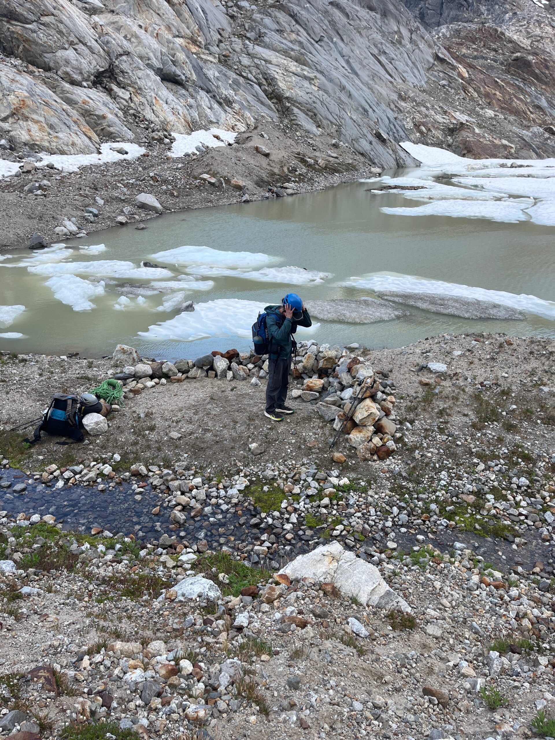
Here we found many possible small sites with windwalls on the northwest side of the lake. None of them were that big, but they would work as a camp for one night.
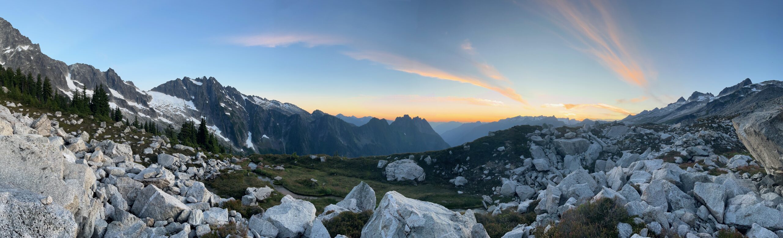
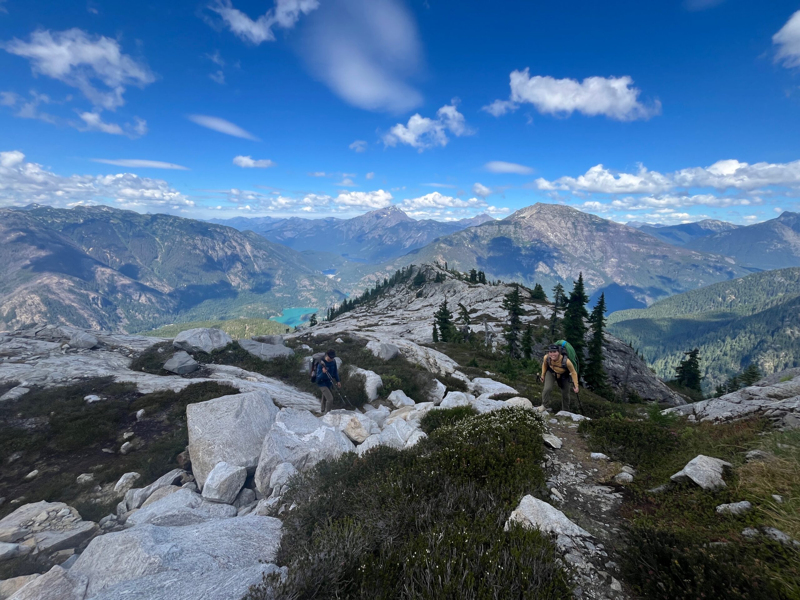
We made dinner, hung out and wandered over to enjoy the views towards Jack Mountain, Hozomeen and Ross and Diablo Lakes. I was a bit windy but we were grateful to have the built up windwalls for our shelters. We went to bed looking forward to heading towards Neve Col tomorrow.
Day 2 – Colonial Lake to tarn below Isolation Peak
Jul 28, 2026 07/28/2026
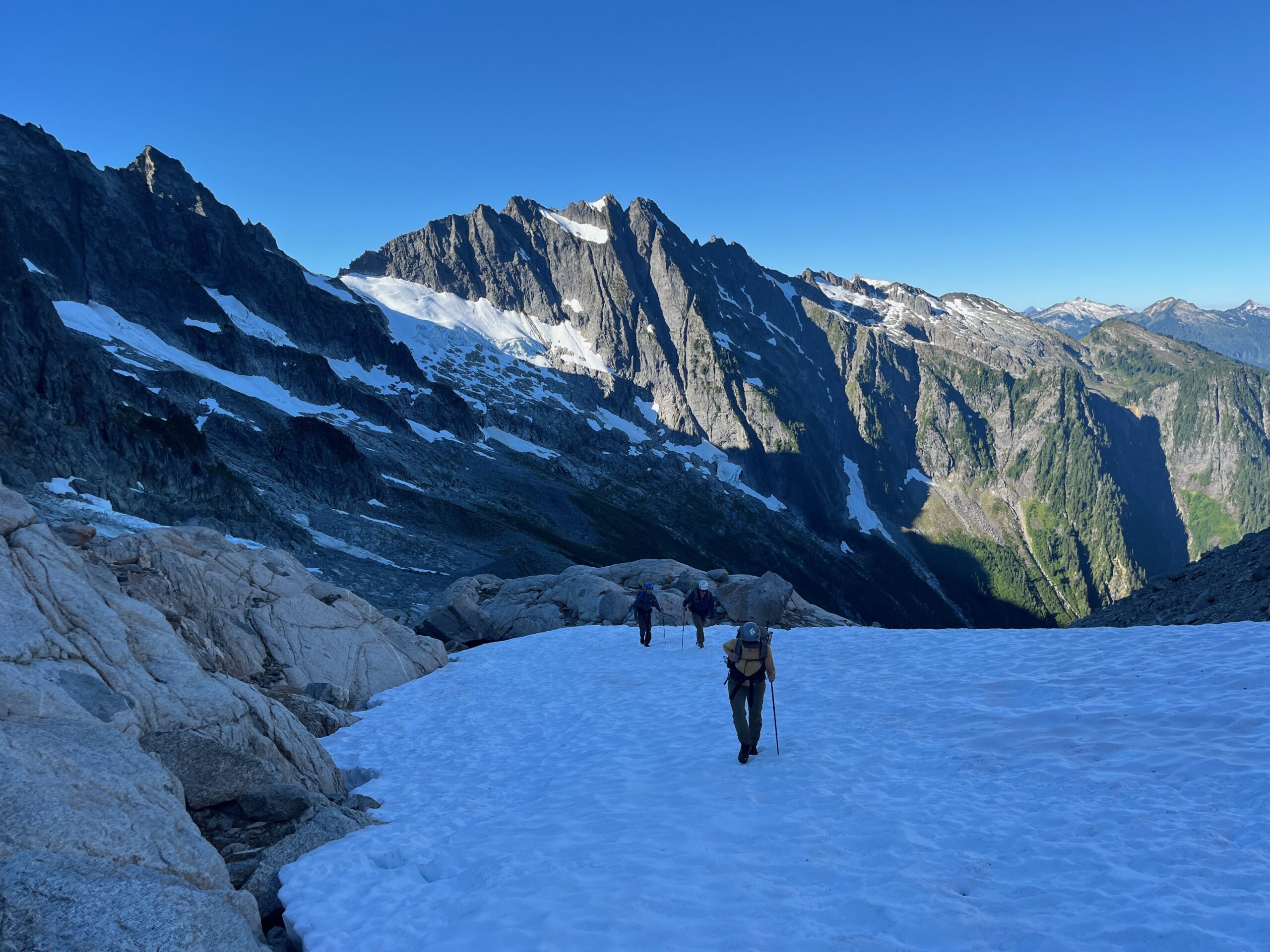
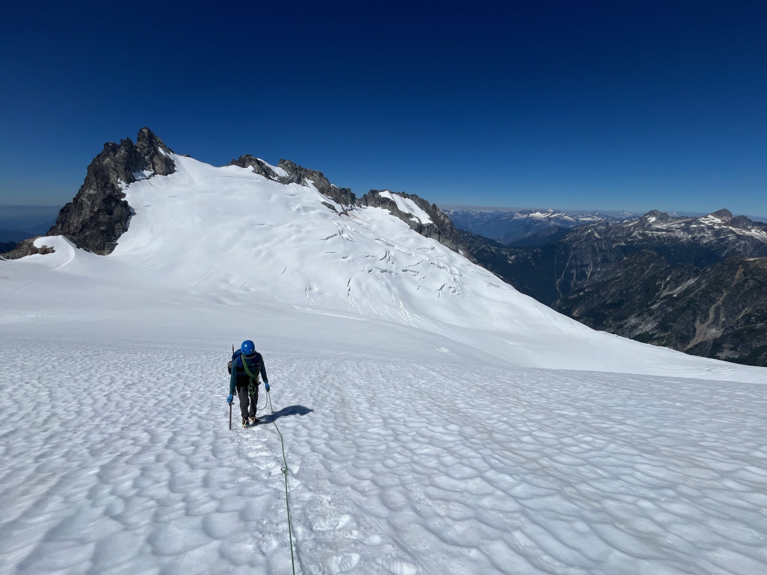
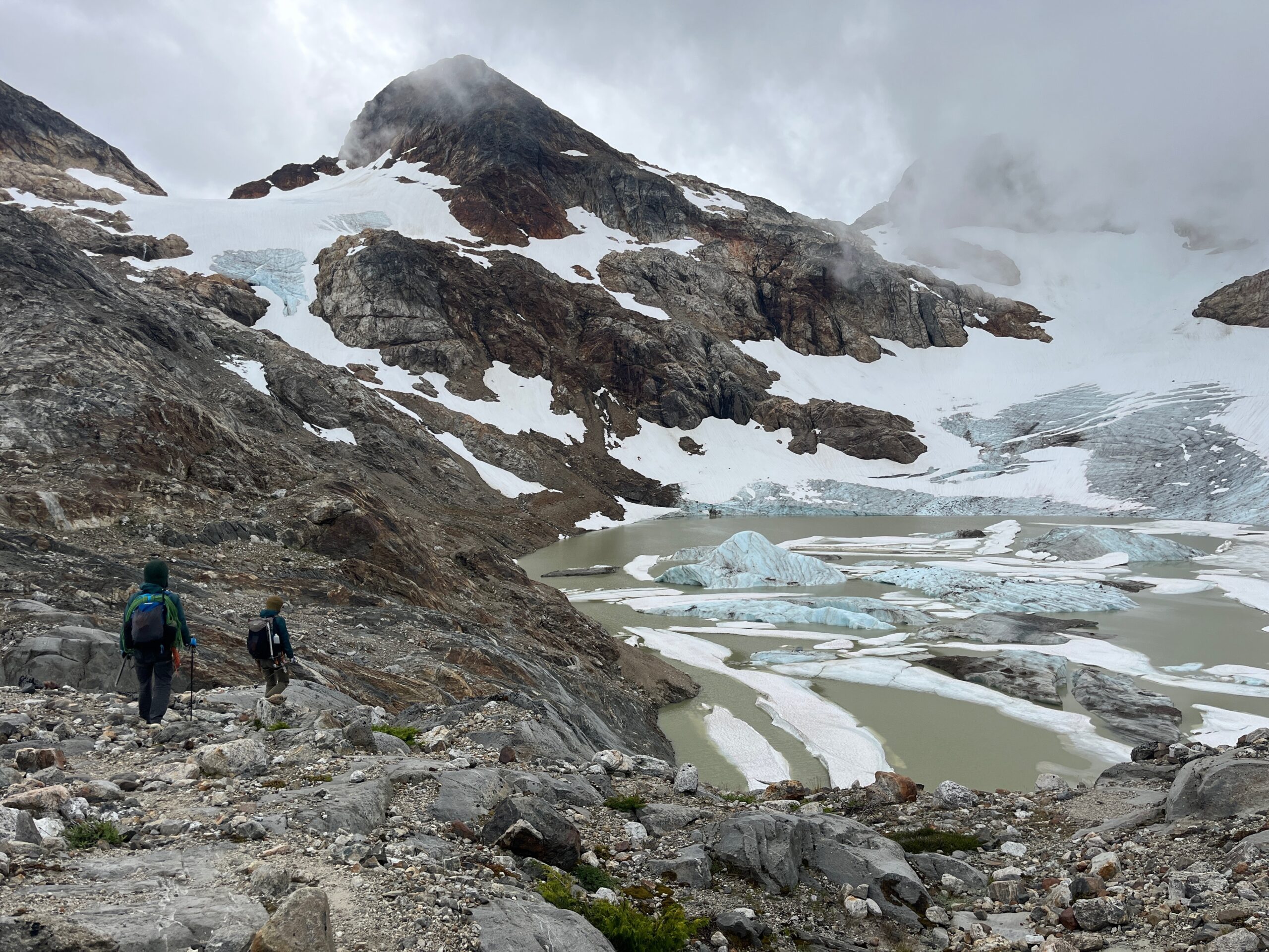
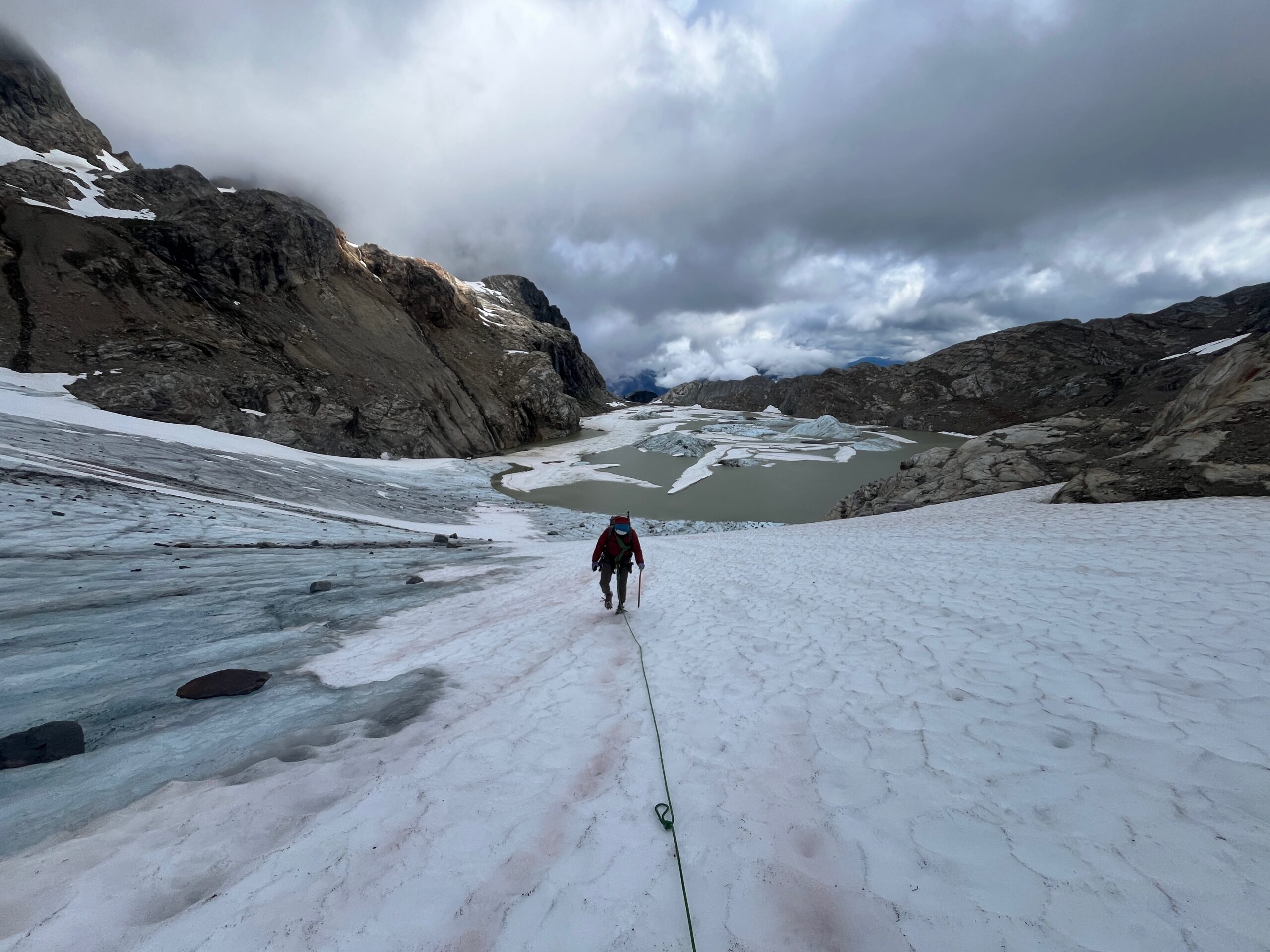
It was a windy night, but thankfully it was not that cold. We woke up at 7 a.m. and left camp around 8:30 a.m. We walked around the lake that forms at the base of the Colonial Glacier on the east side by gaining the ridge and then following a faint use trail to a spot where we could gain the snow. We got on the Colonial Glacier and followed the snow up to the Neve Col. As we made our way up the clouds started rolling in and visibility dropped. At the Col we took a quick break, hiding from the wind in one of the bivy spots. There was lots of running water at the col.
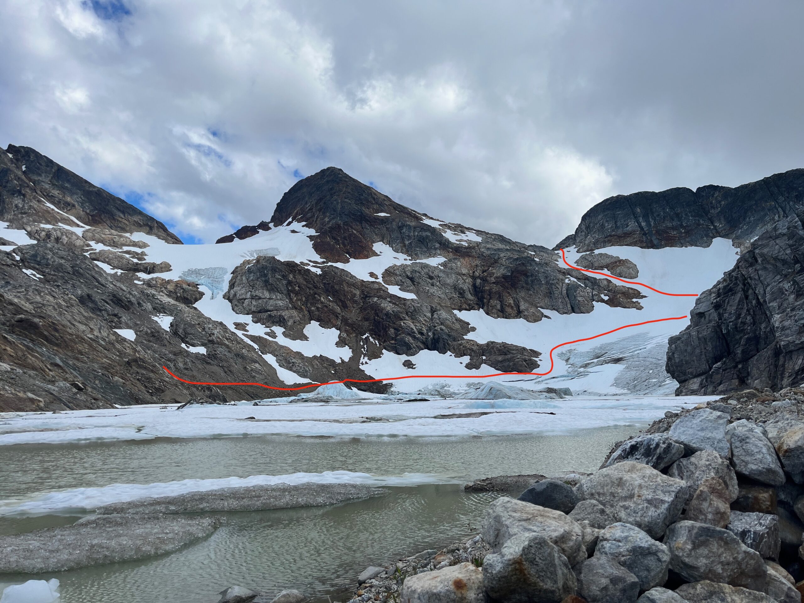
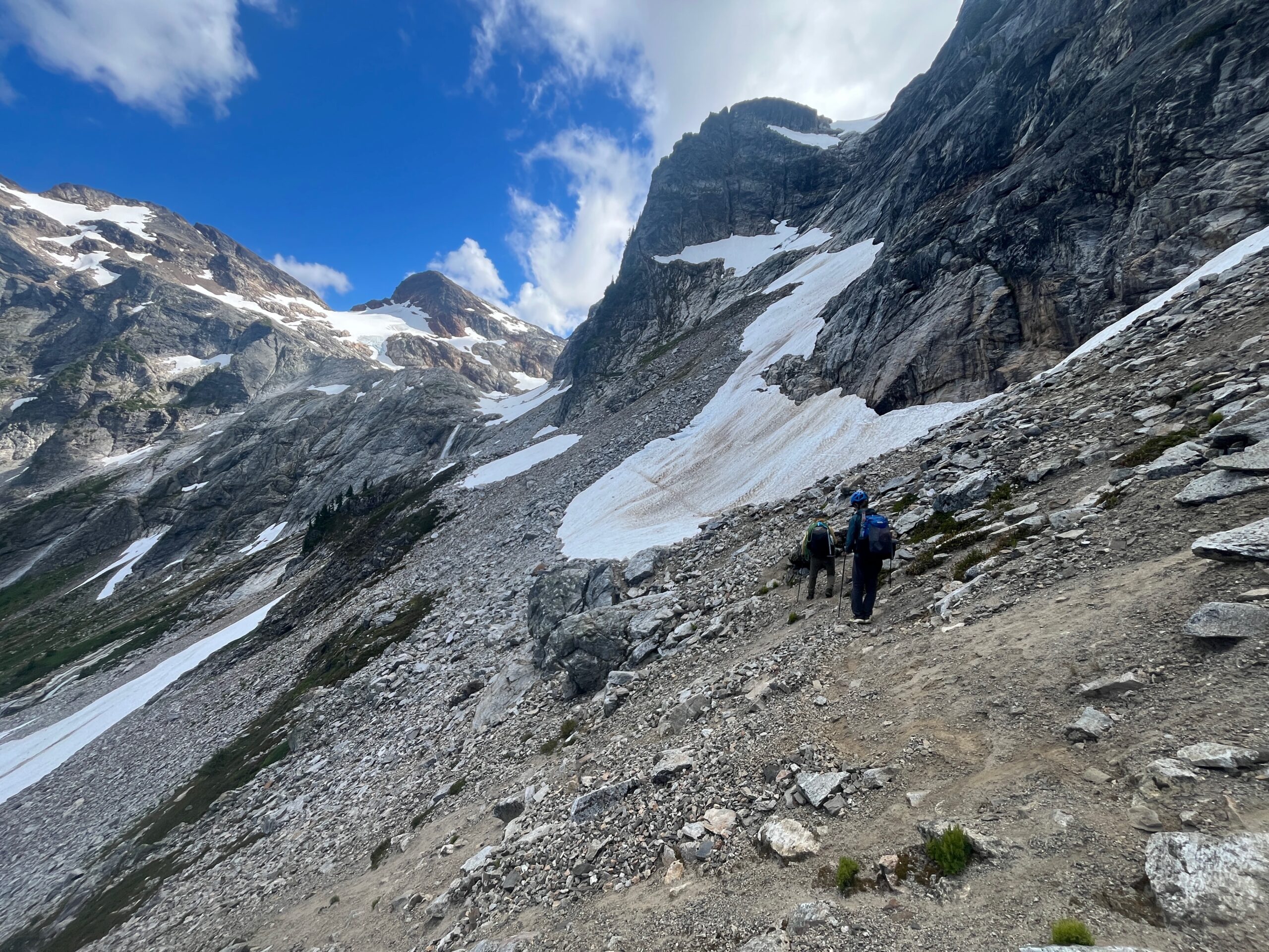
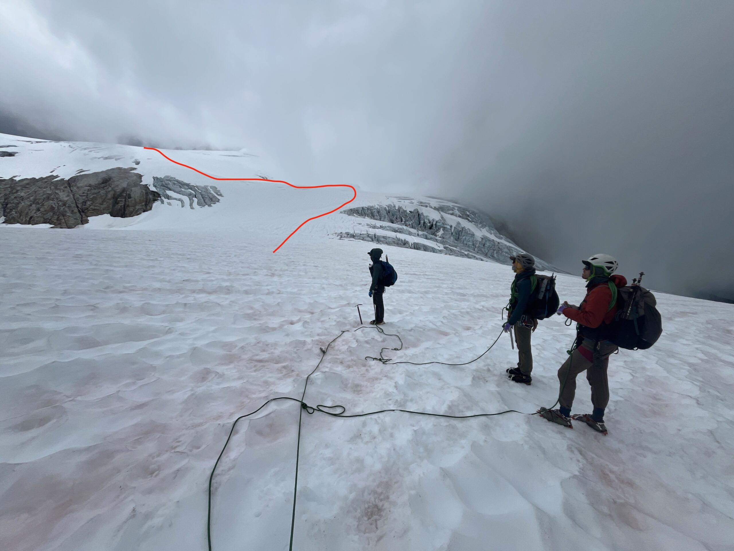
We dropped down from the col to the Neve Glacier by getting on some steep snow and then following granite ramps, skiers left across some loose rock to gain the snow again – taking that to the large pass on the Neve Glacier.
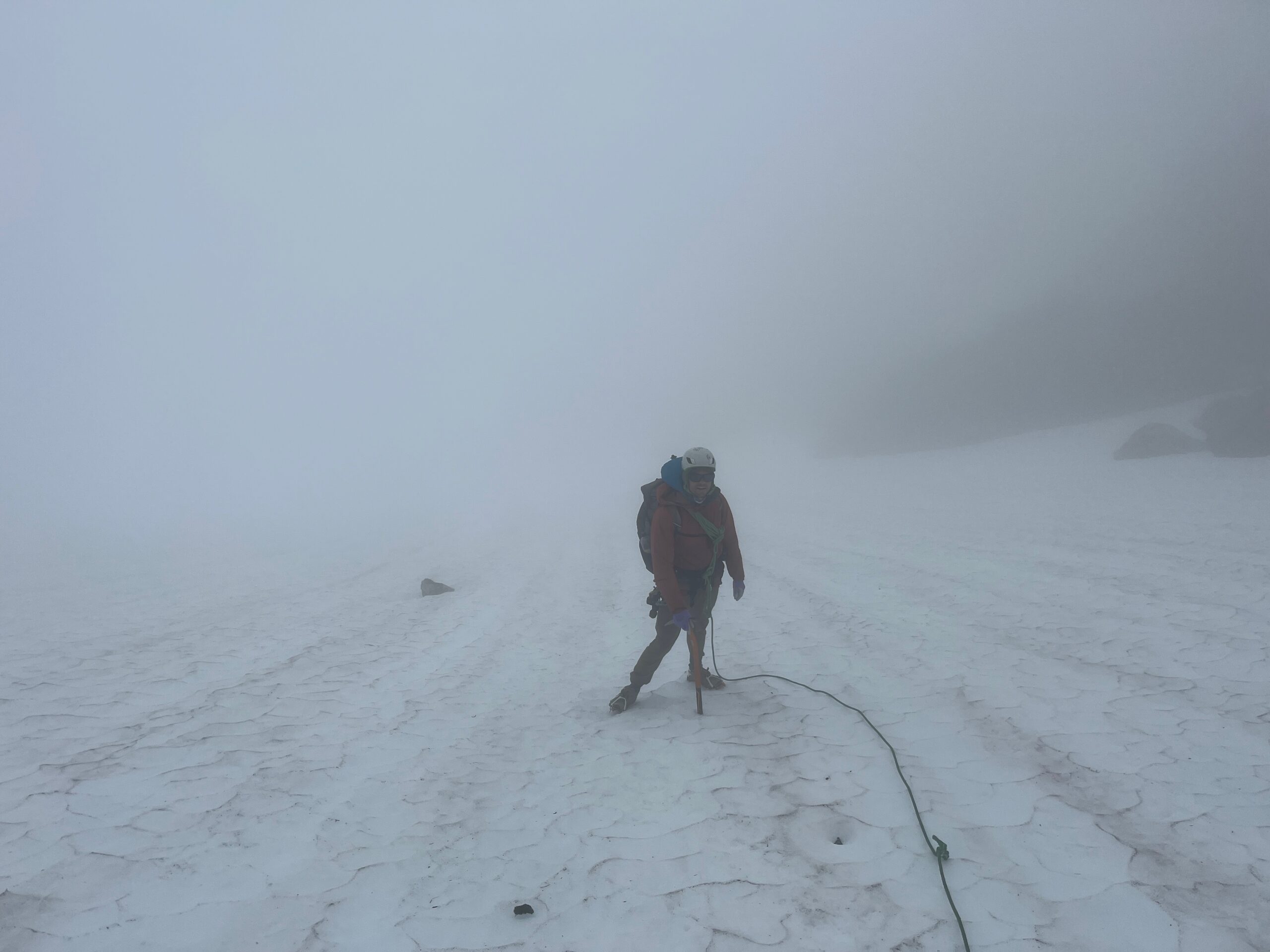
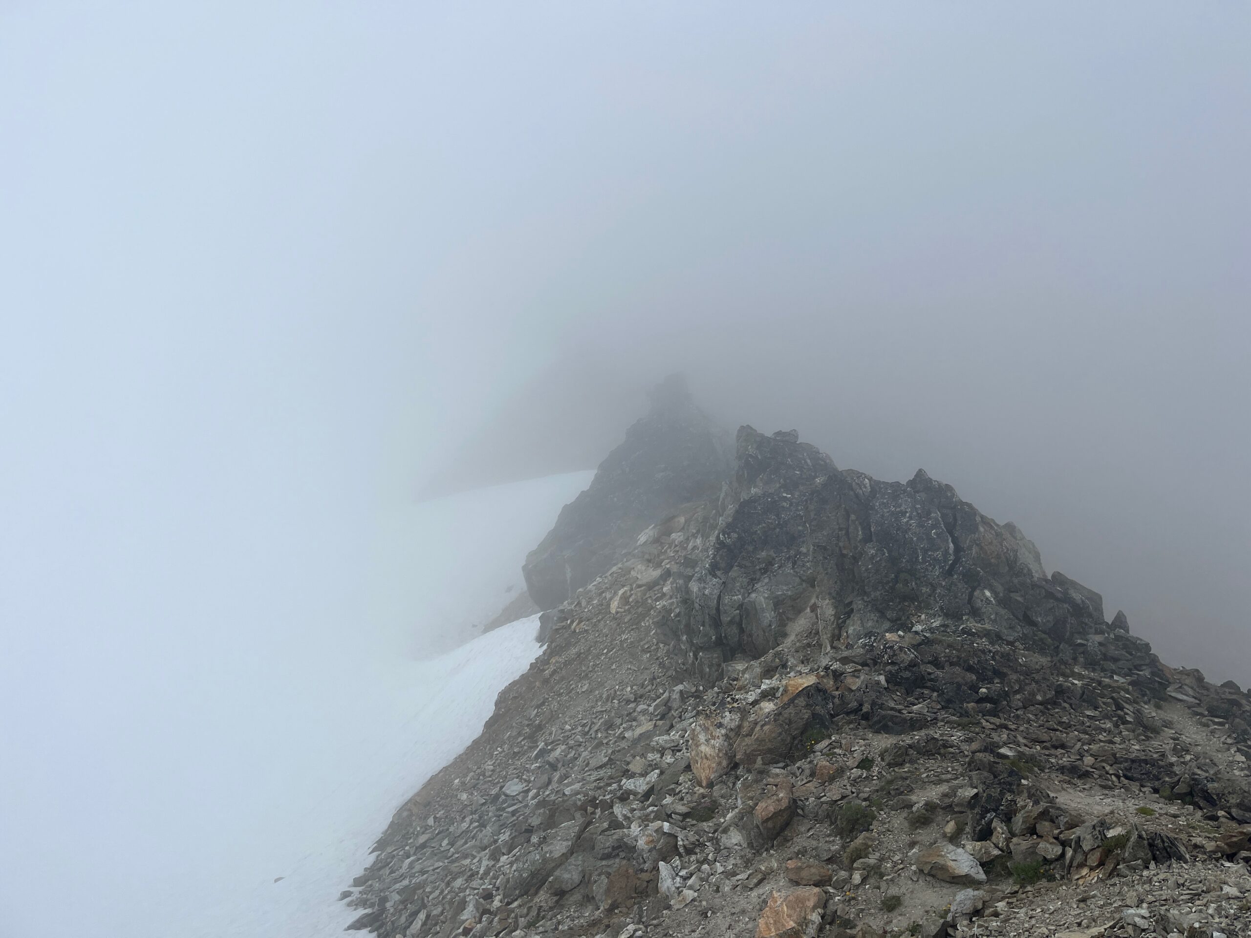
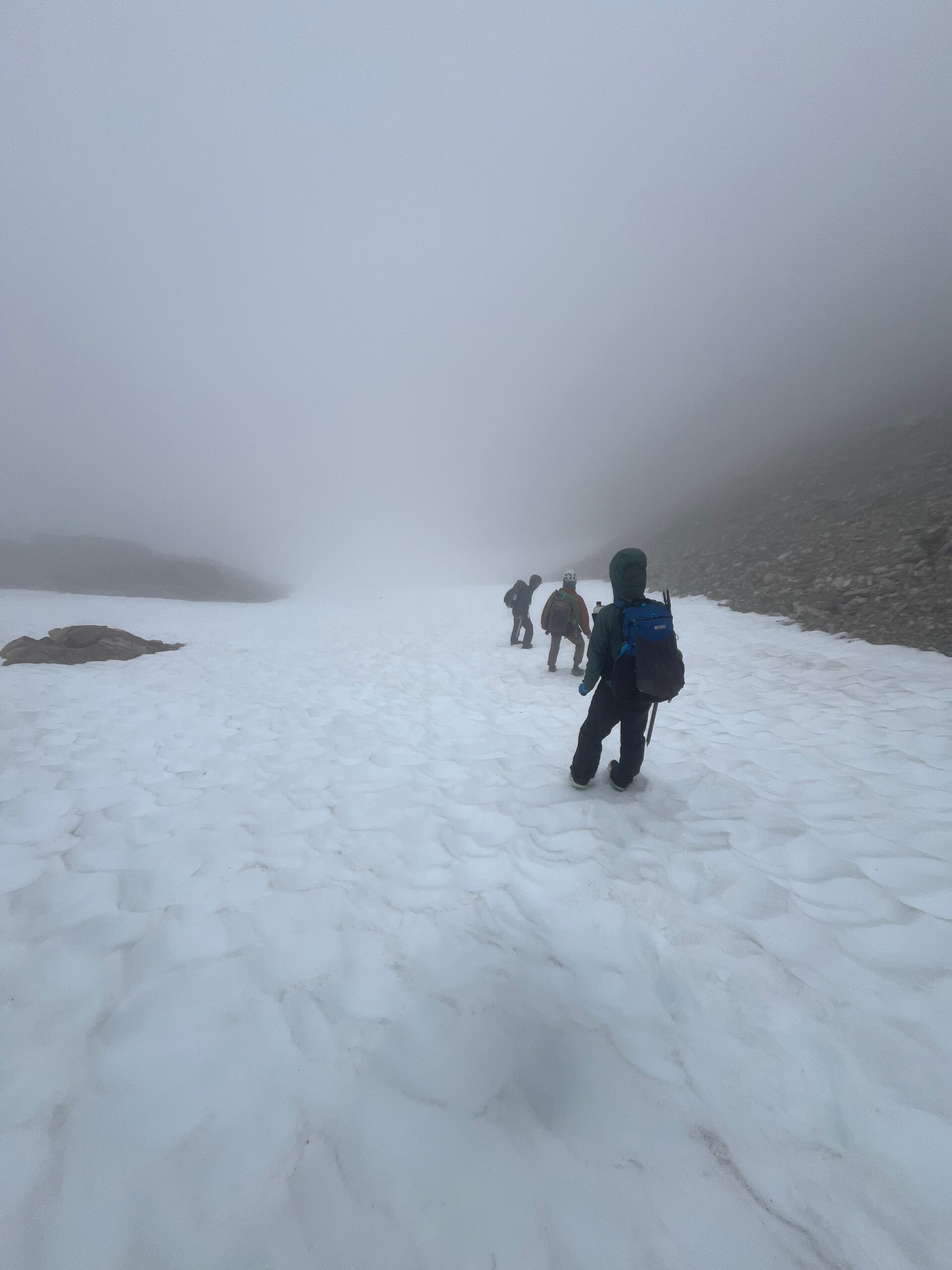
We took the lowest angle path up the Neve Glacier. We walked in a near whiteout, resulting in us unknowingly walking the wrong direction, luckily over very mellow terrain. After finding our way back on route we made it to the notch between the Horsemen and Snowfield and took a break in a protected spot from the wind.
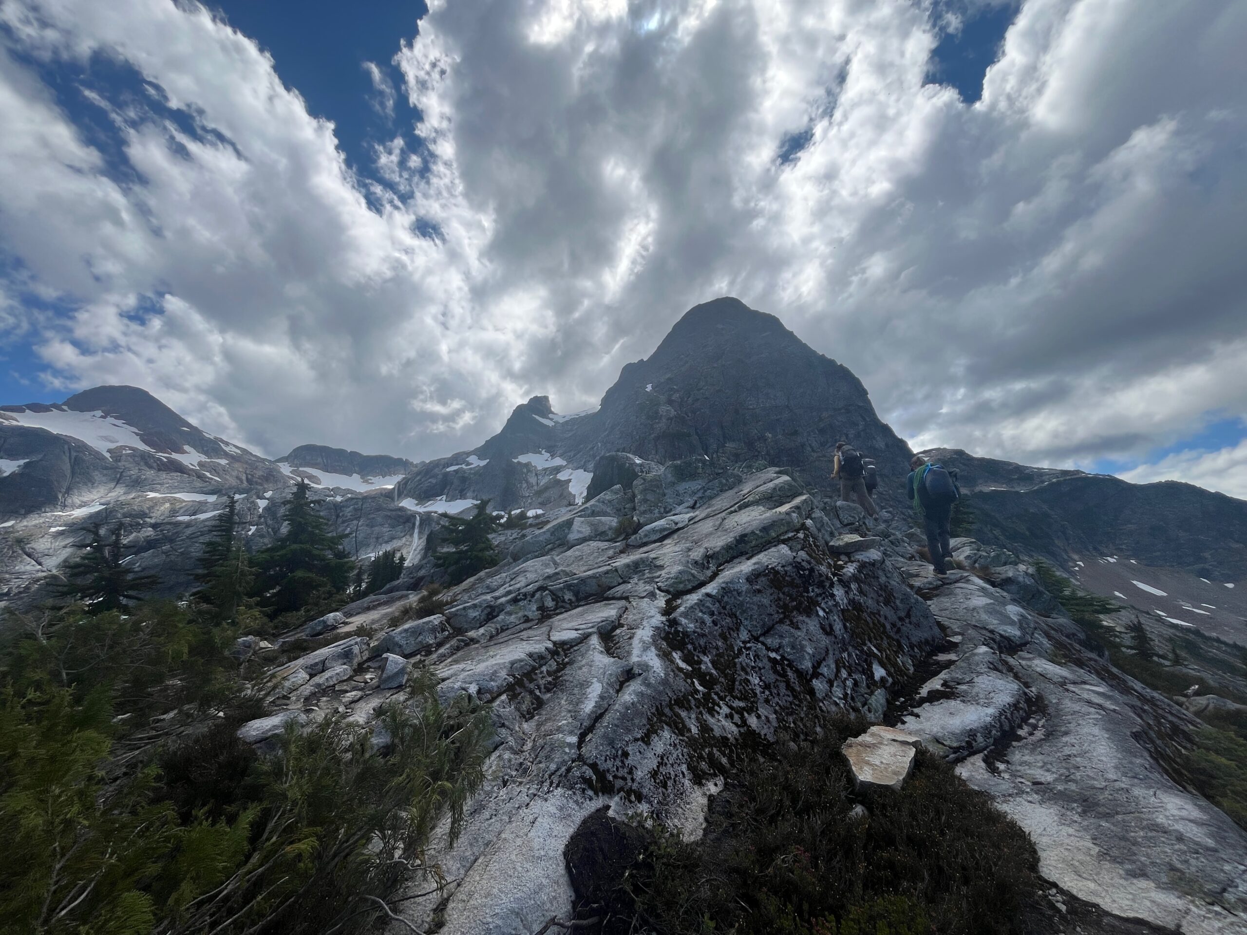
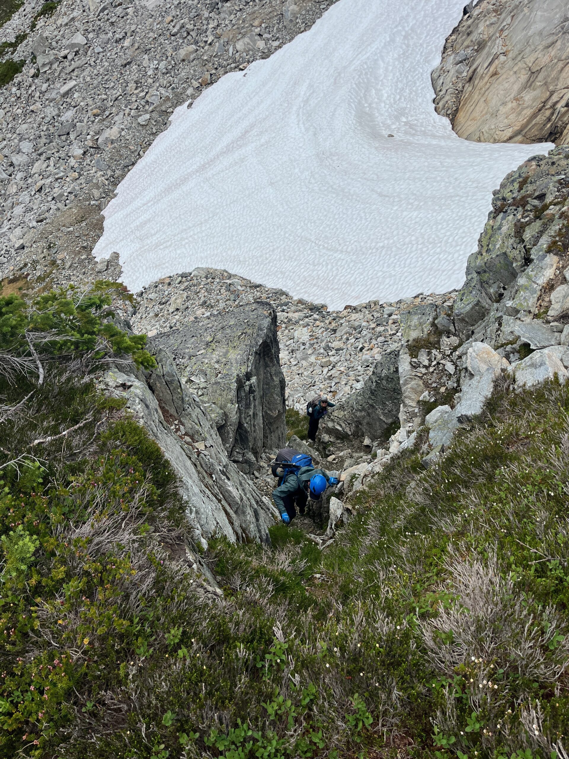
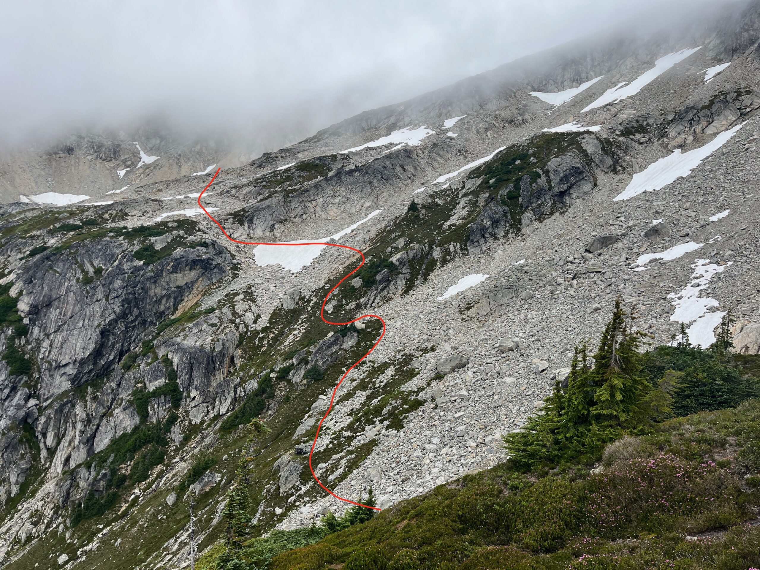
We dropped off the pass, taking a long snow slope down and transitioning onto some granite slabs, while making a descending southeast traverse to 6,800′. Here, we dropped to about 6,600′ and made a traverse and class 3/4 climb out of a notch around 6,700’. This helped us gain the broad south ridge off of Snowfield which turned out to be a beautiful shelf with tarns and many camping options.
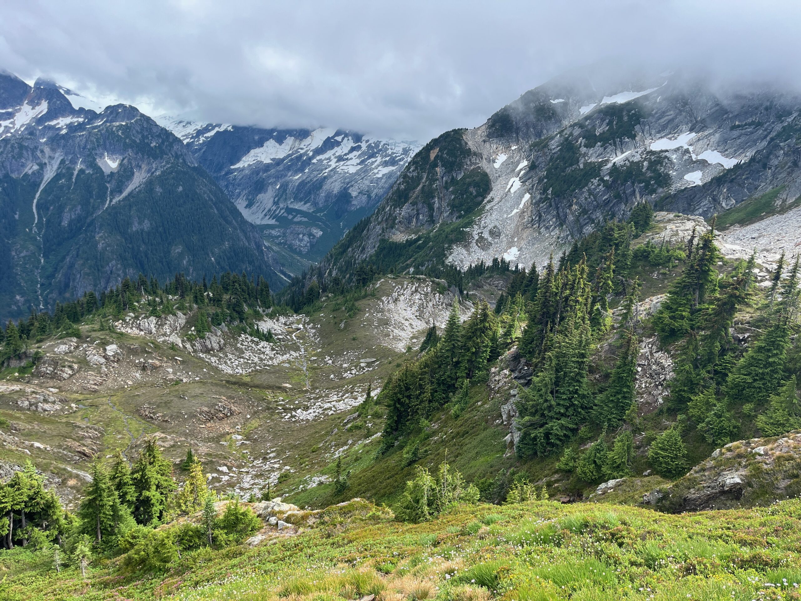
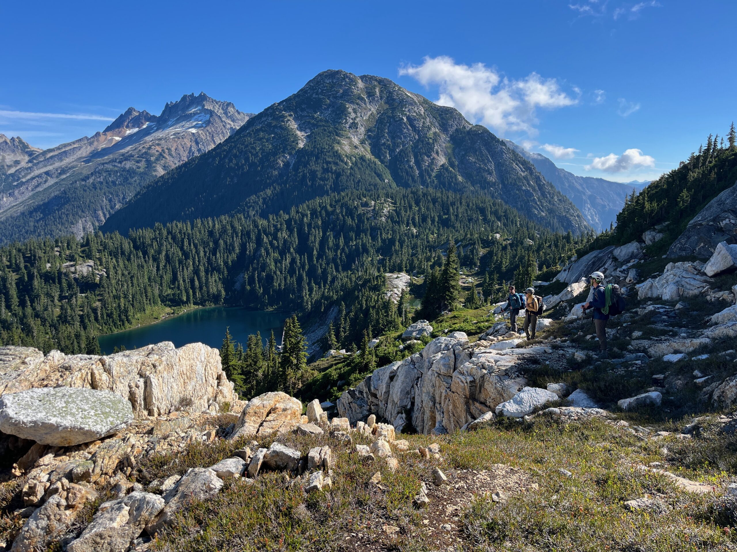
From this ridge we made a descending traverse to the lake below Isolation Peak on nice grassy benches and found a spot to camp for the night. We saw a bear on the way down and a few small families of Ptarmigan. We could also see our route over the southeast shoulder of Isolation Peak and were intimidated by the way it looked as it seems steep and loose.
The clouds started to blow away and the break in the weather was a nice change though the mosquitoes at the lake were a bit annoying.
Day 3 – Hike over shoulder of Isolation Peak
Jul 29, 2026 07/29/2026
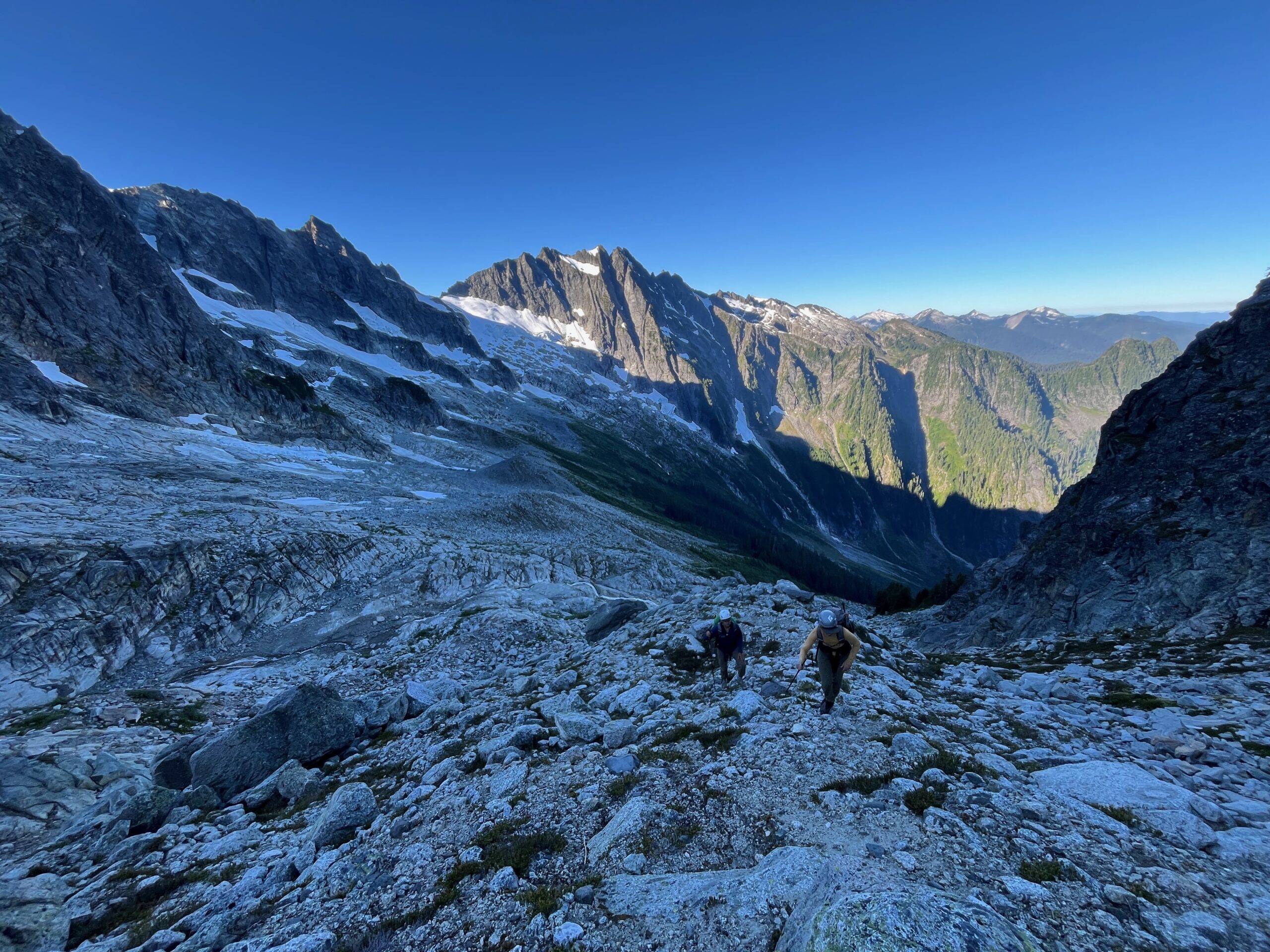
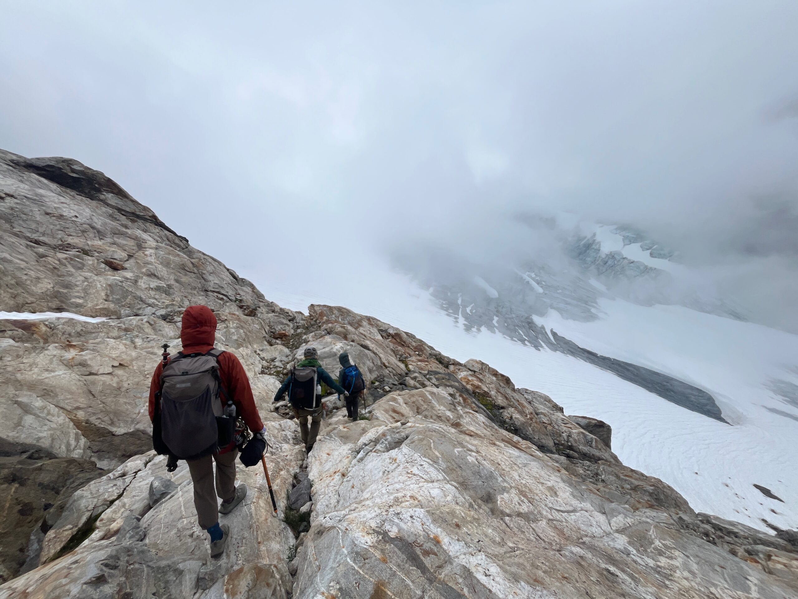
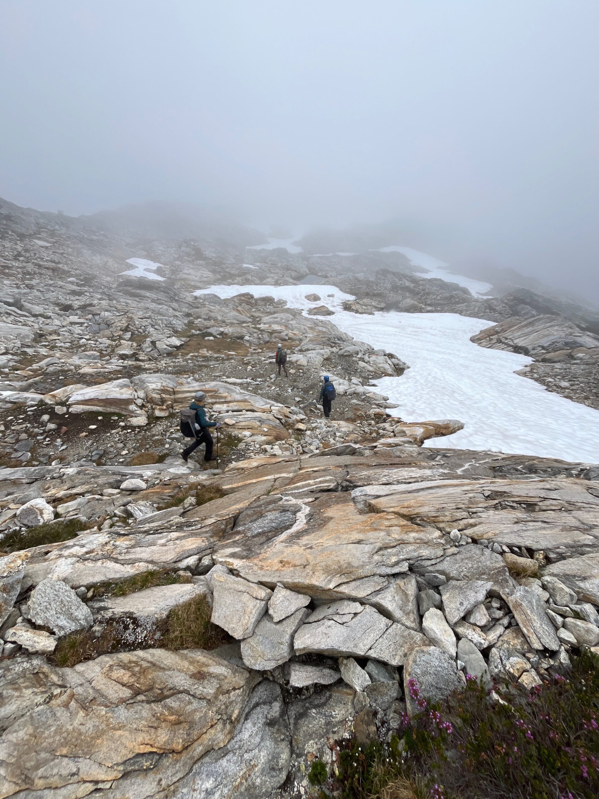
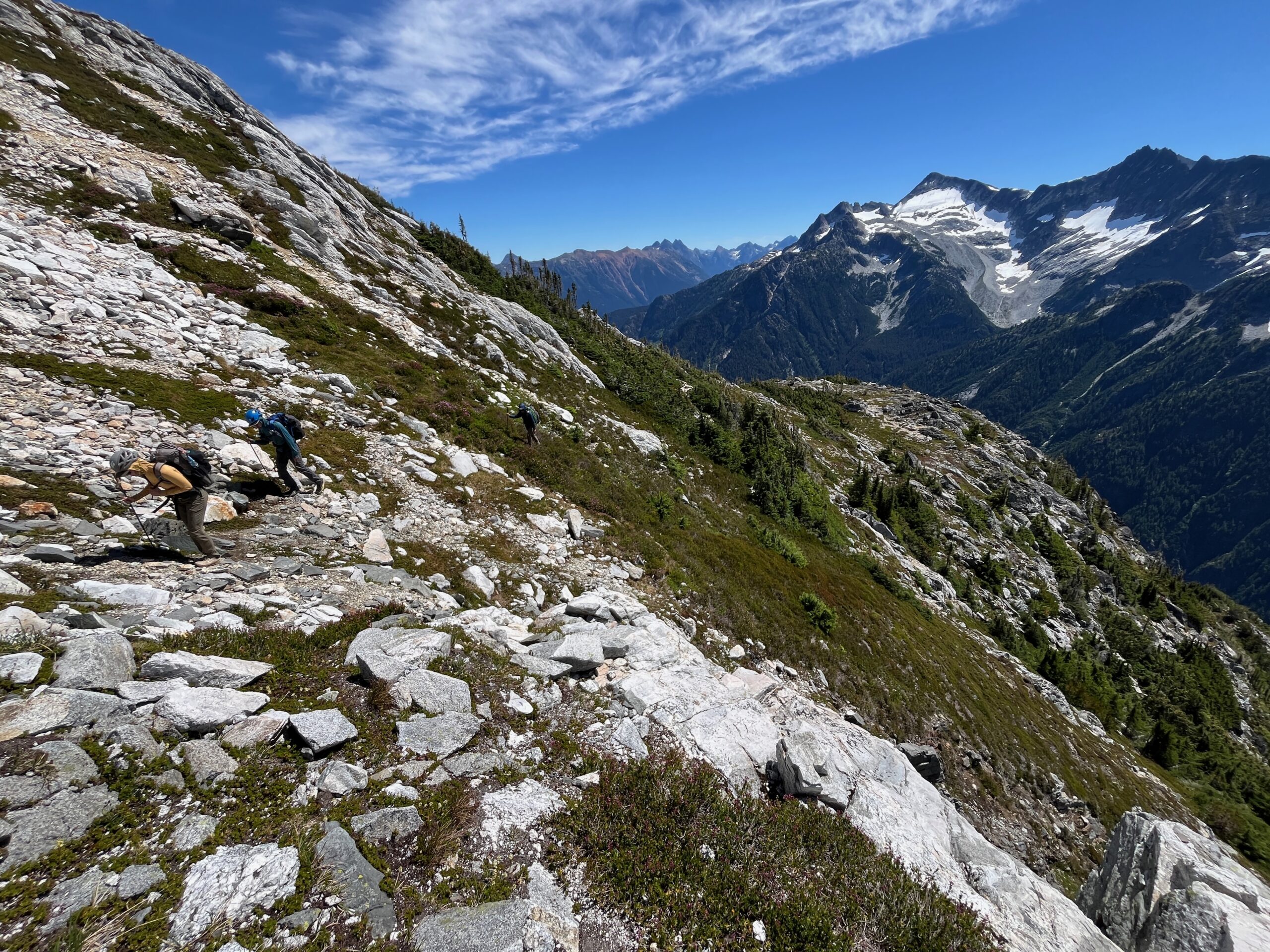
Overnight and in the morning two of our group members got sick and were throwing up. We were all not sure what we ate or how two members of our group got sick, but not all four. We took a chill morning while we let these folks rest and try and recover some energy and stamina to hike that day. We ended up leaving camp around 10:30 a.m. and made our way up and over the southeast shoulder of Isolation peak without any issues. It was a bit loose, but much less steep up close than what it looked like from far away.
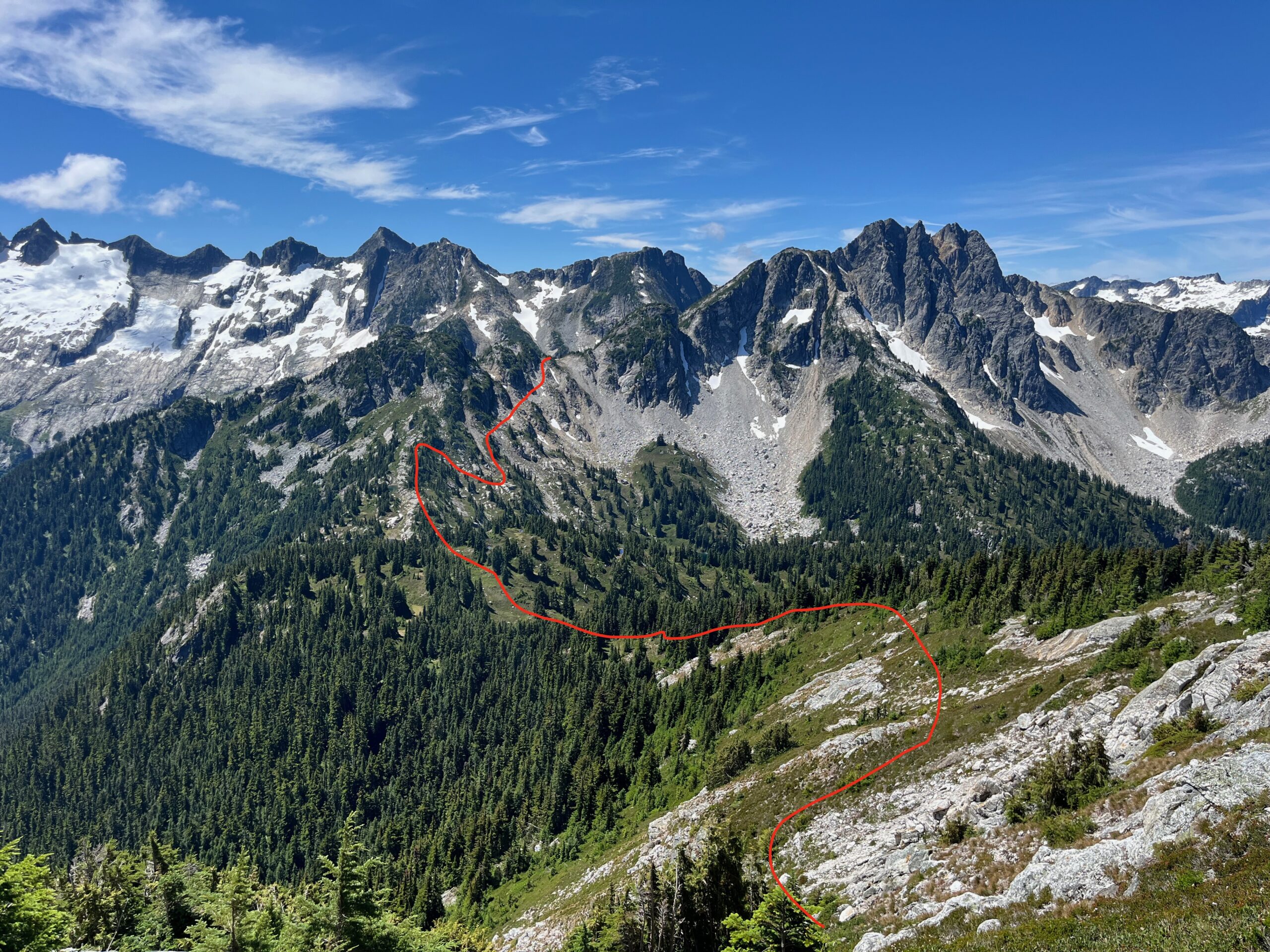
From the shoulder we climbed up towards the peak on the ridge for a few hundred feet eventually making a traverse south on a rock benches at around 6,600′ to a big flat, grassy bench with some amazing campsites and incredible views of the McAllister Glacier. Then, we contoured upwards directly east just above a huge cliff band and followed faint game trails to a big steep grassy slope that had generally easy travel down to the south shoulder of Isolation Peak.
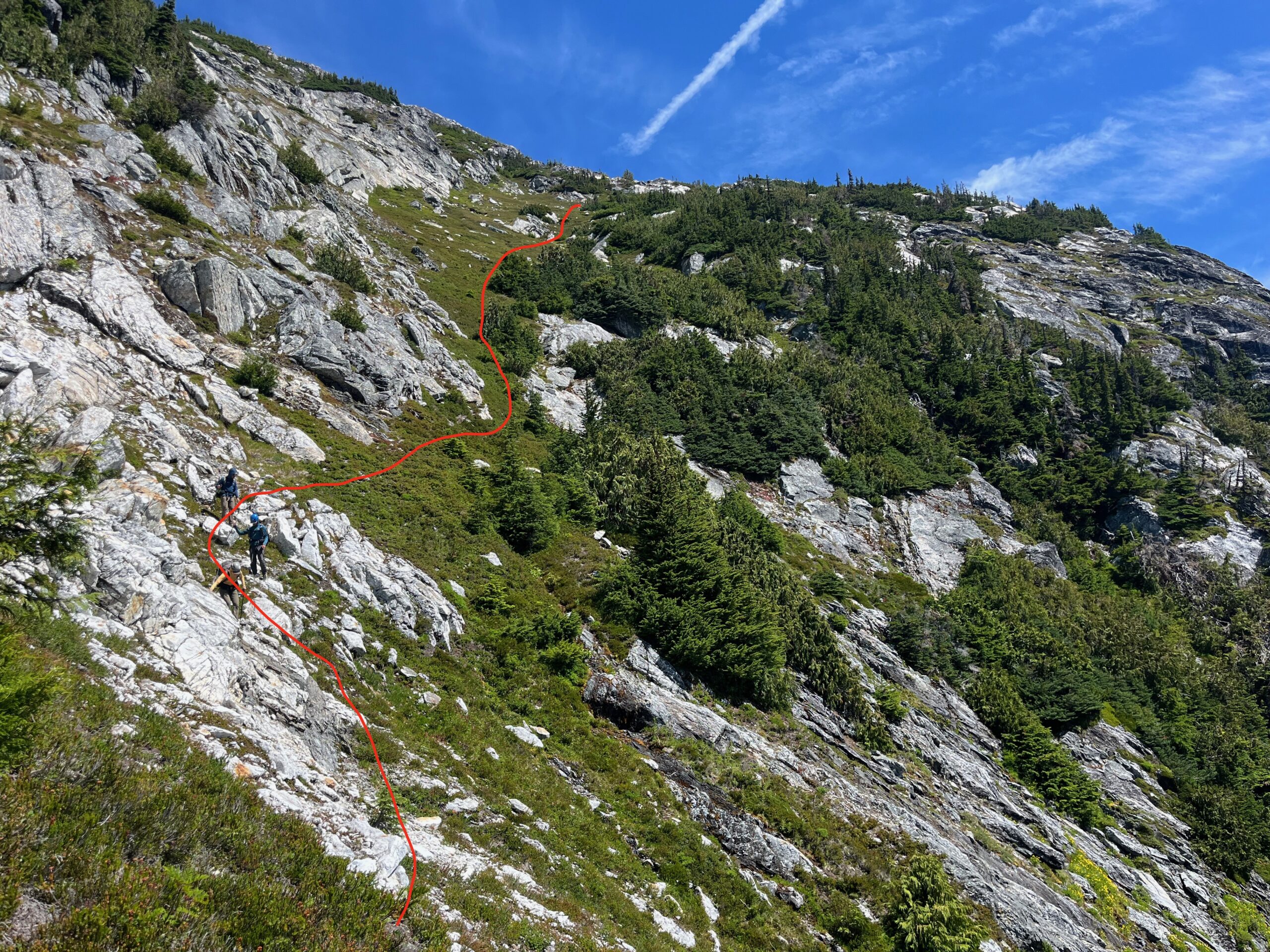
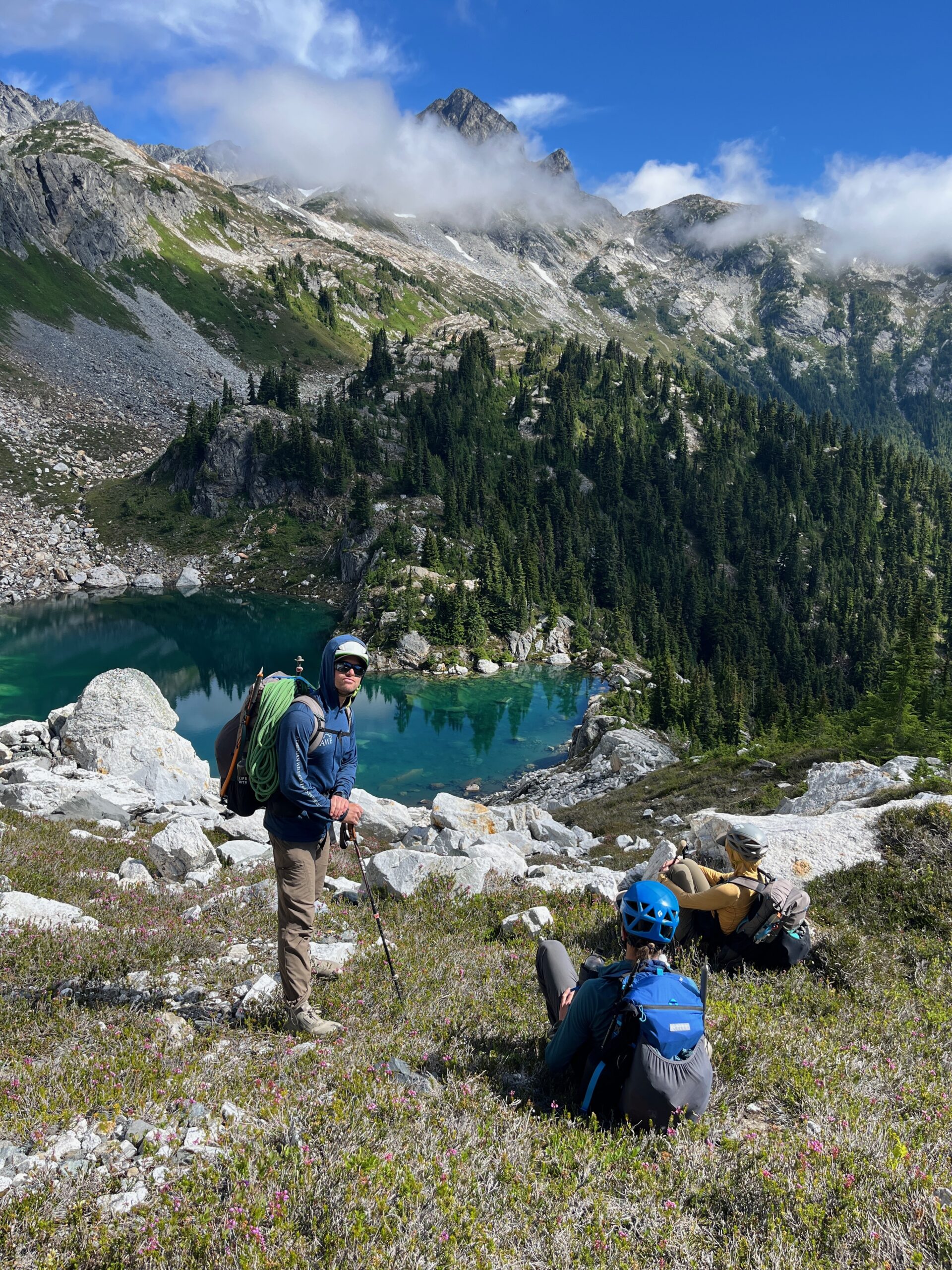
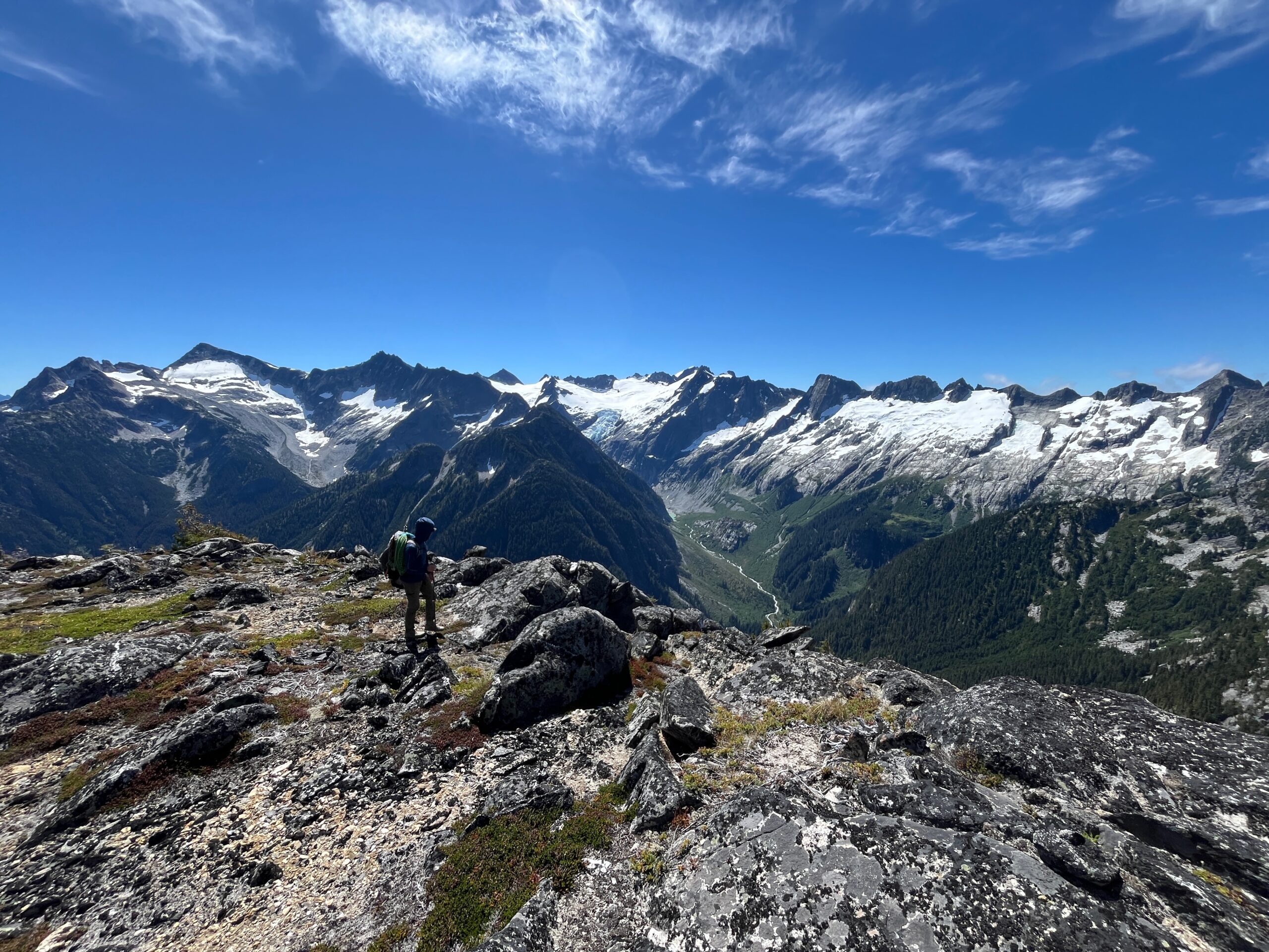
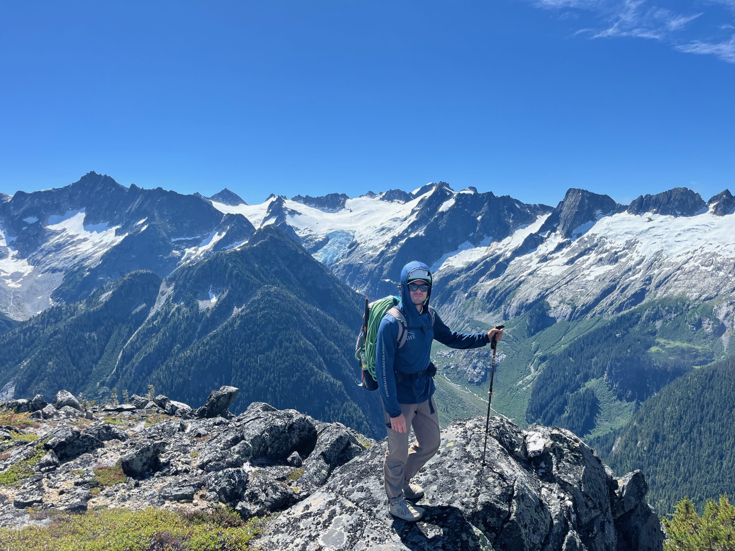
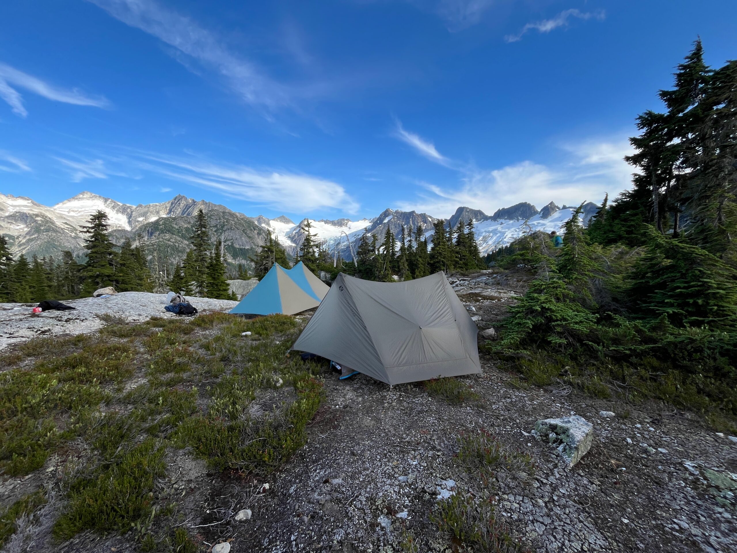
Once on the south ridge of Isolation Peak we followed intermittent trails and some bushwhacking to one of the tarns on the big flat and open bench above Wilcox Lakes. Here we called it a day to hopefully have our two previously sick group members rest to have enough energy for the day ahead. We hung out for the rest of the day, wandered about and napped. The view from this location up McAllister Creek drainage to the glacier is incredible!
Day 4 – Hike to Marble Creek basin
Jul 30, 2026 07/30/2026
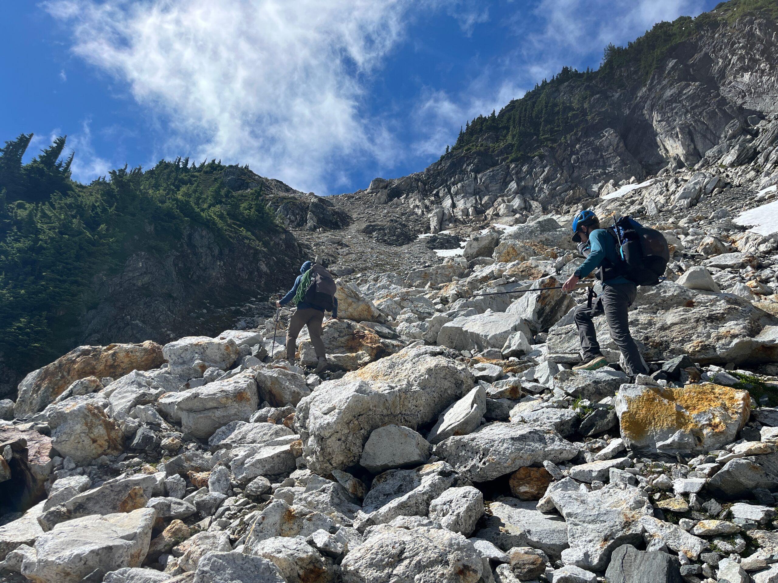
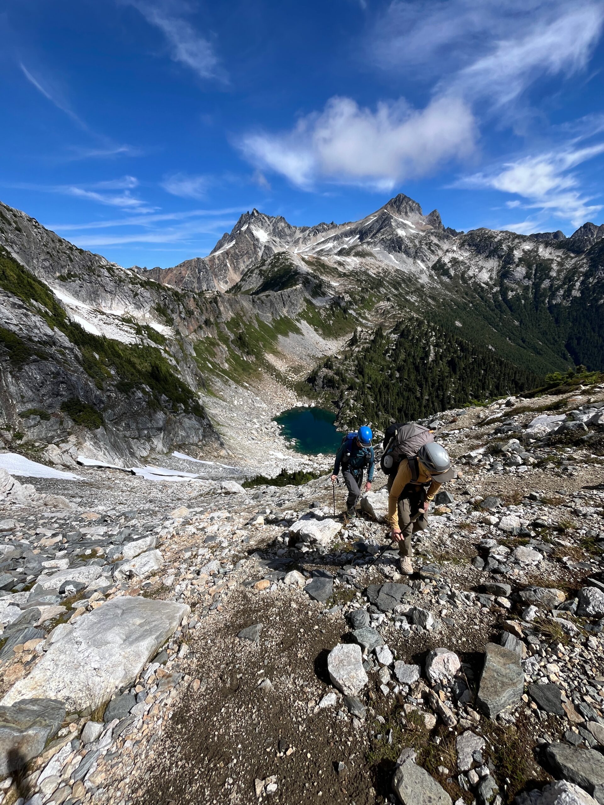
Thankfully everyone woke up feeling much better and we were excited for the day ahead! We left camp around 9 a.m. and traveled immediately across the flat ridgeline, eventually dropping onto the Wilcox Lakes side of the ridge just after the last tarn on the bench. Then we made a rising traverse up to the notch east of Newhalem Peaks. This travel was easy and straightforward and our route seemed to work better then dropping all the way down and going straight up to the notch.
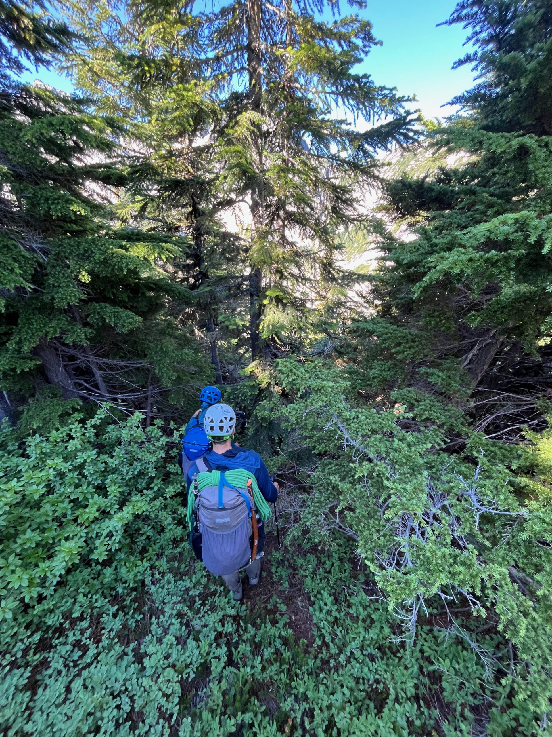
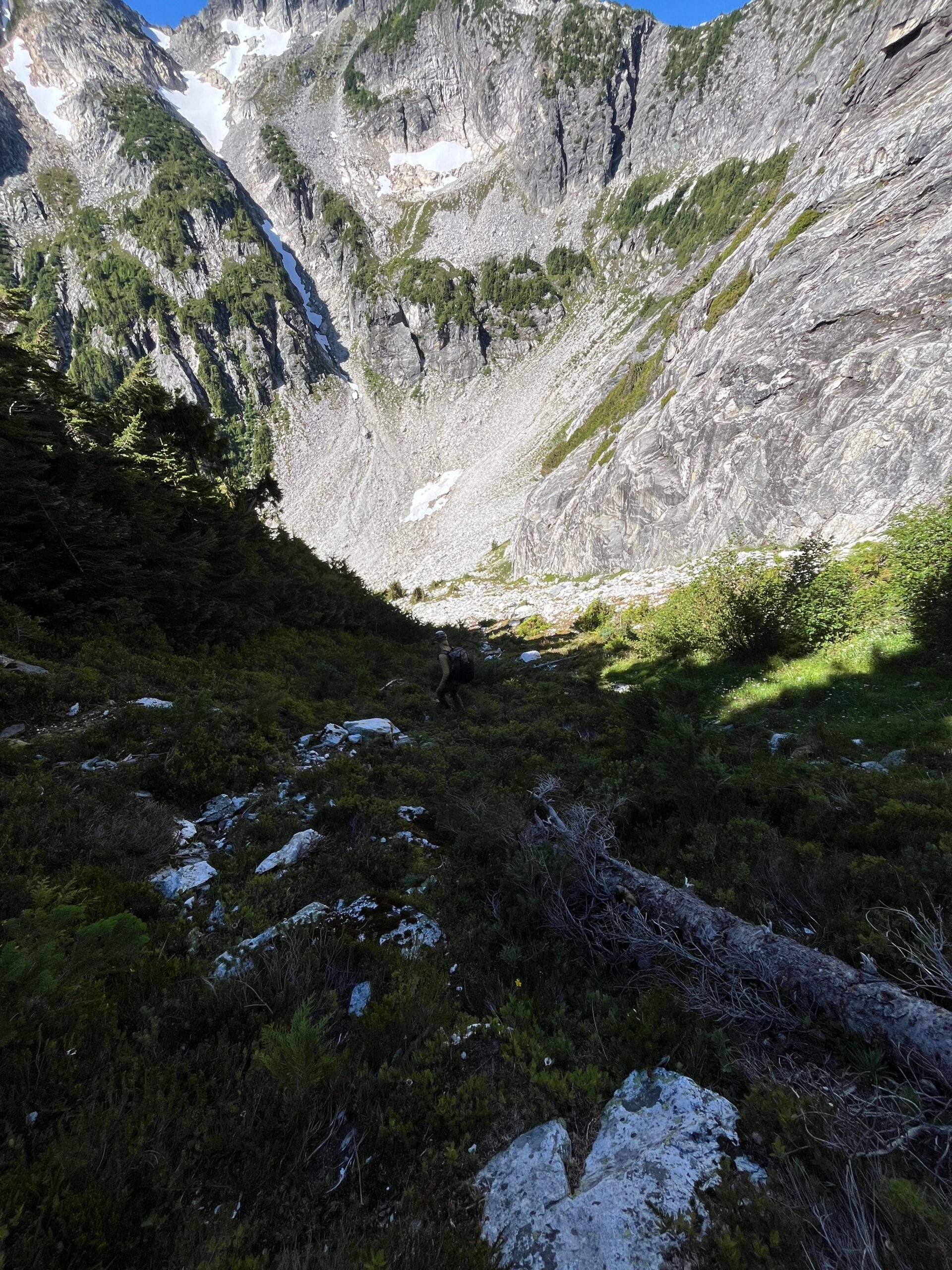
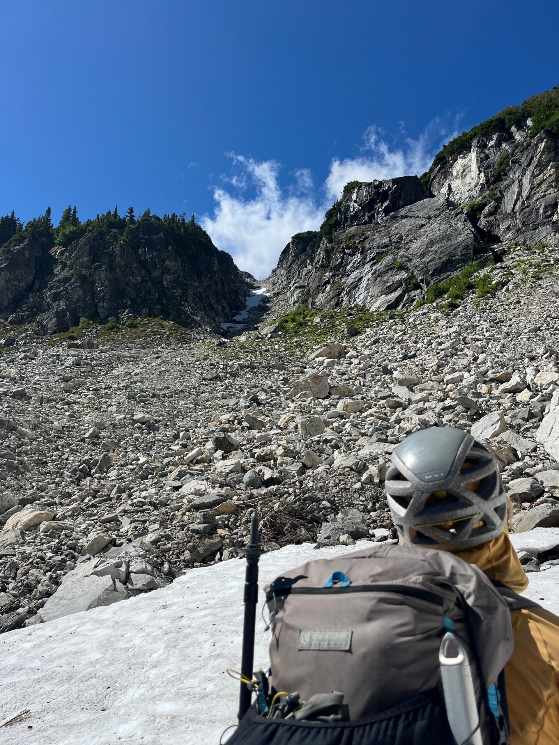
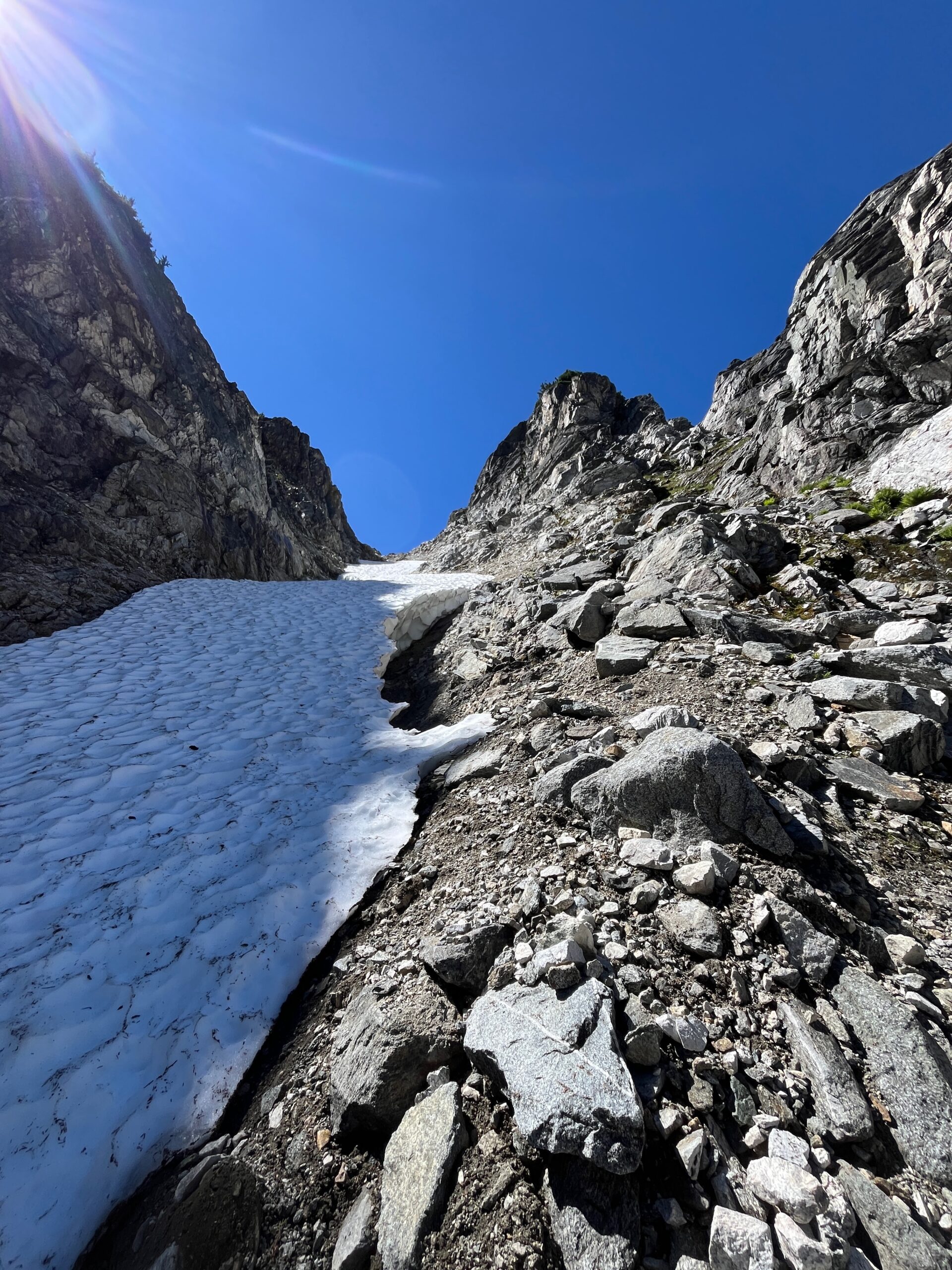
At this notch we were able to see the big gully that we needed to climb to get over the Backbone Ridge and it looked significanlty less snowy than in all the pictures we had seen. We wondered how it would be without as much snow and threw around a few other route ideas as work arounds in case it was not easily passable. Either way, we needed to get down, so from here we descended a steep, thick slope of trees trending down and skiers right which eventually popped us out onto a steep grassy slope that took us all the way to the bottom of the basin where a nice creek was flowing and we took a break to discuss our next move.
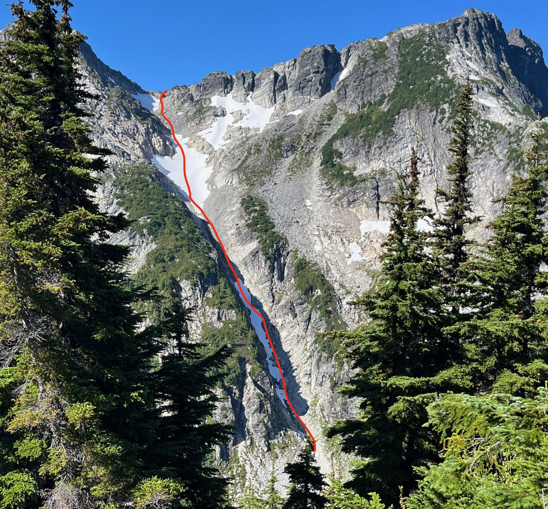
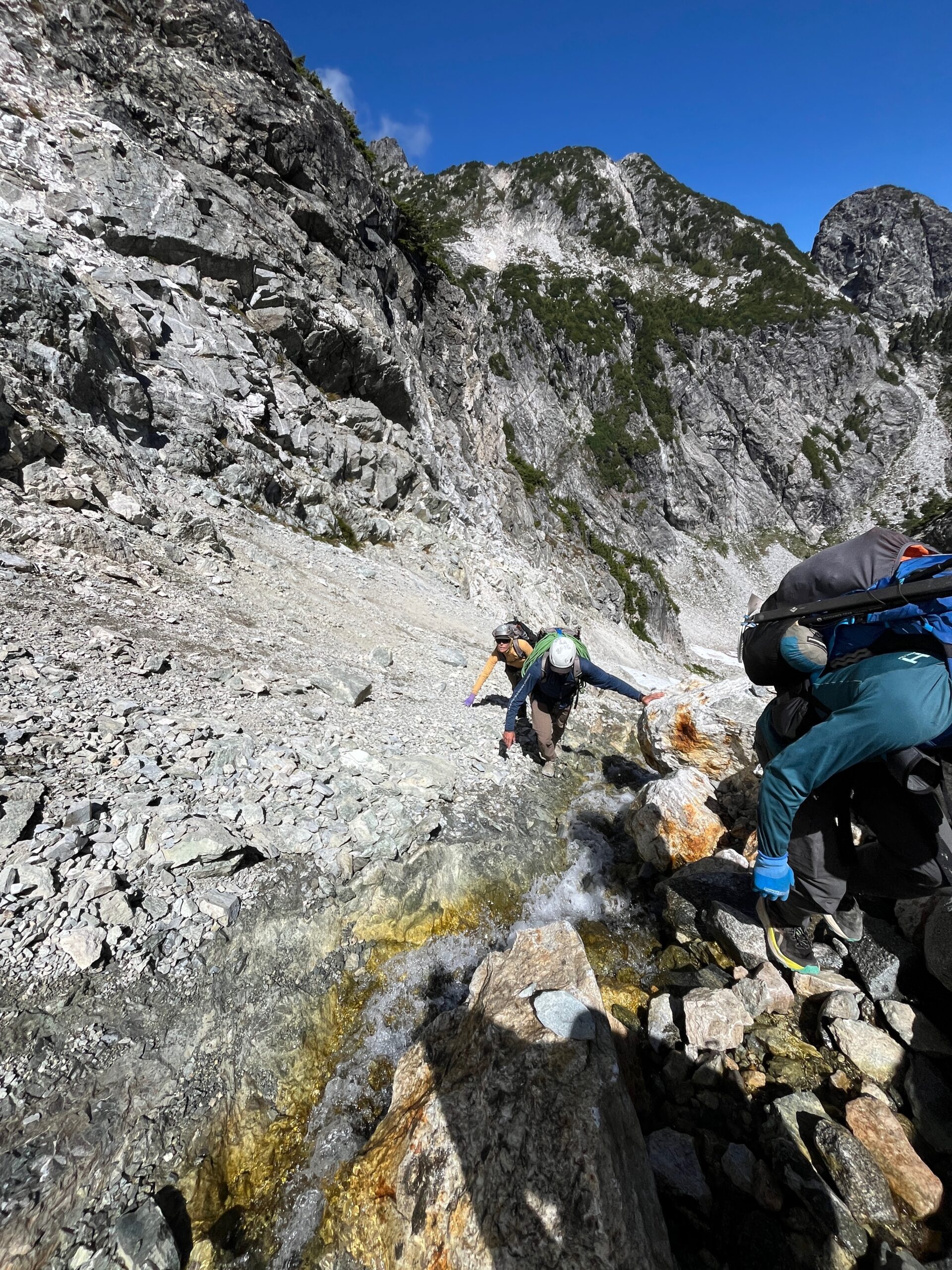
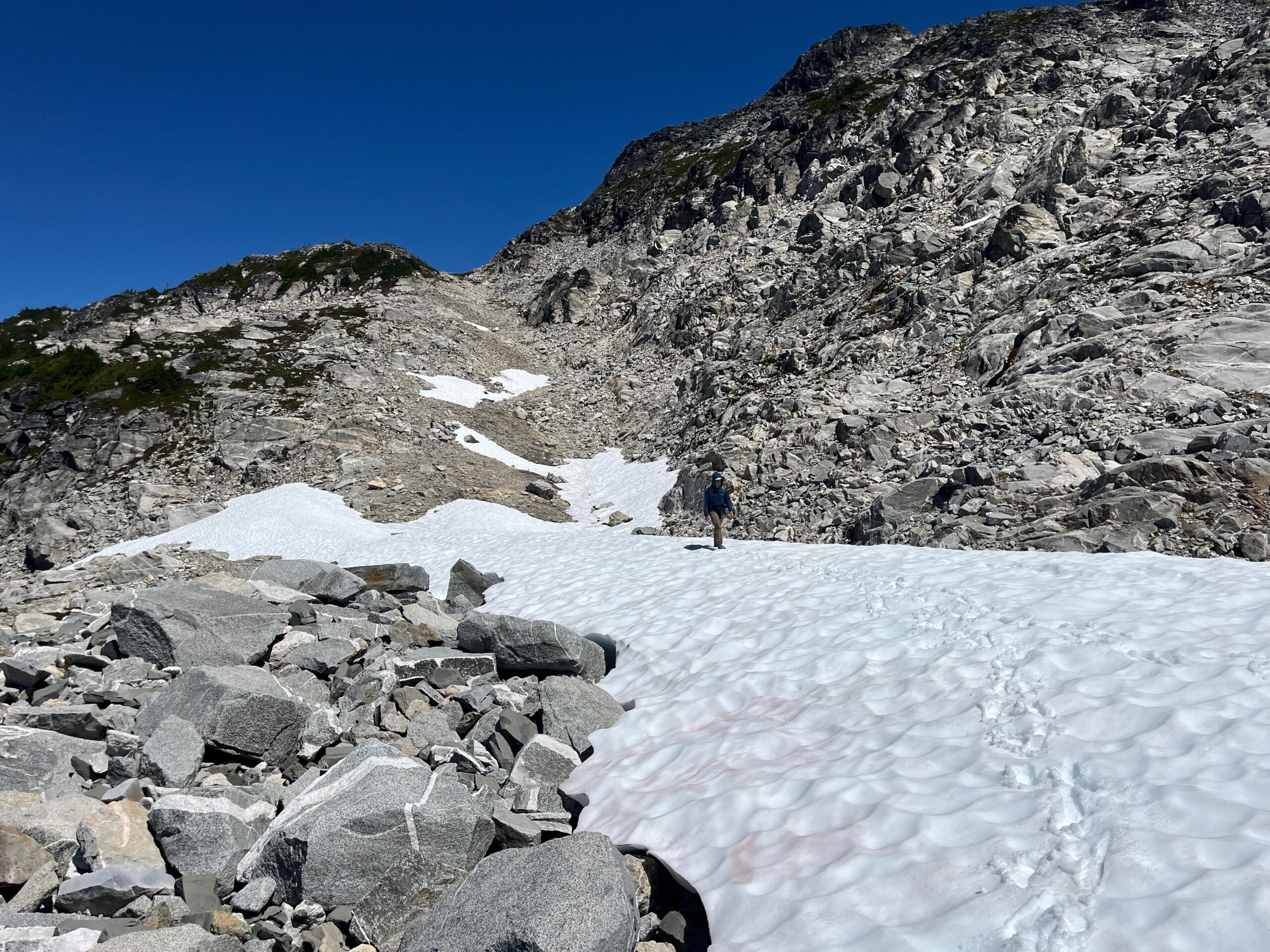
As we got closer to the gully, it seemed less steep than we thought previously, so we decided to try it out. We started out by scrambling loose rock – at first on the right side of the patchy snow until we were pushed onto the snow. At that point we put our crampons on to make more secure progress while on the snow. At the top of the lower snow finger the terrain turned to loose and steep dirt that was very kitty litter-esque and we were forced to travel a small 20-30 foot section on very tenous loose terrain and then travel up the main gully basically in the creek for another 50 -100 feet.
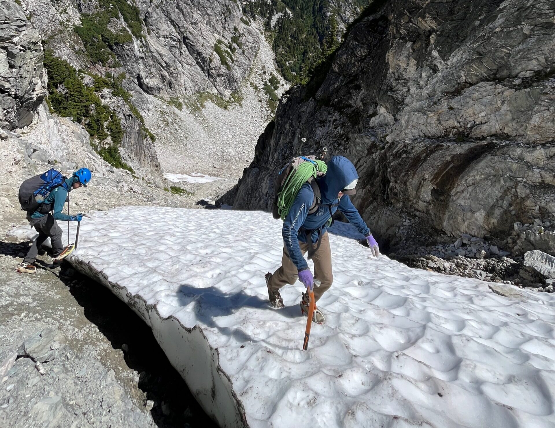
Towards the top there was one more straight forward steeper snow field and then it was easy class 2 to the top of the ridgeline. Here we strolled down an easy ramp to the tarn that had formed from the snow at the head of Newhalem Creek and took a needed break to east some lunch and soak in the views. When we started moving again, we made a downward trending traverse from 6,200′ to 6,000′ on grassy benches and then ascended a bit back up to gain the southwest ridge of the Coccyx near the closer low point on the ridgeline.
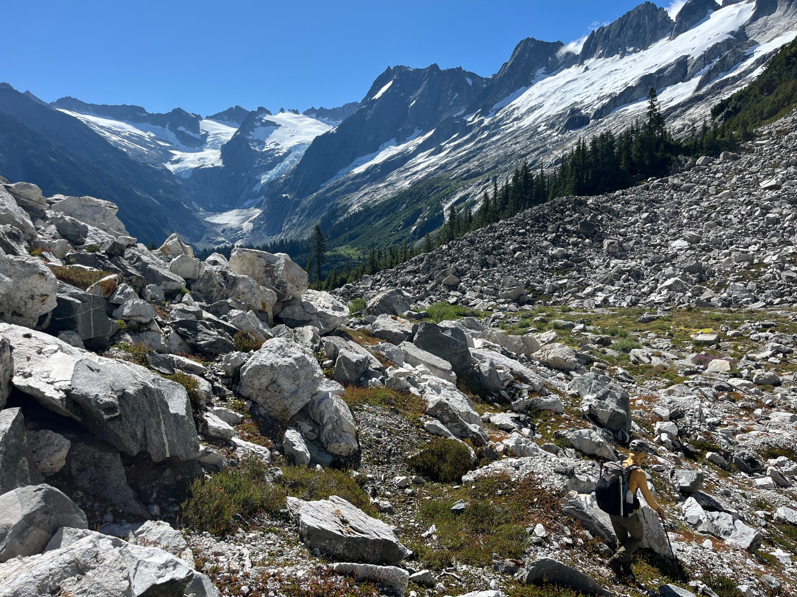
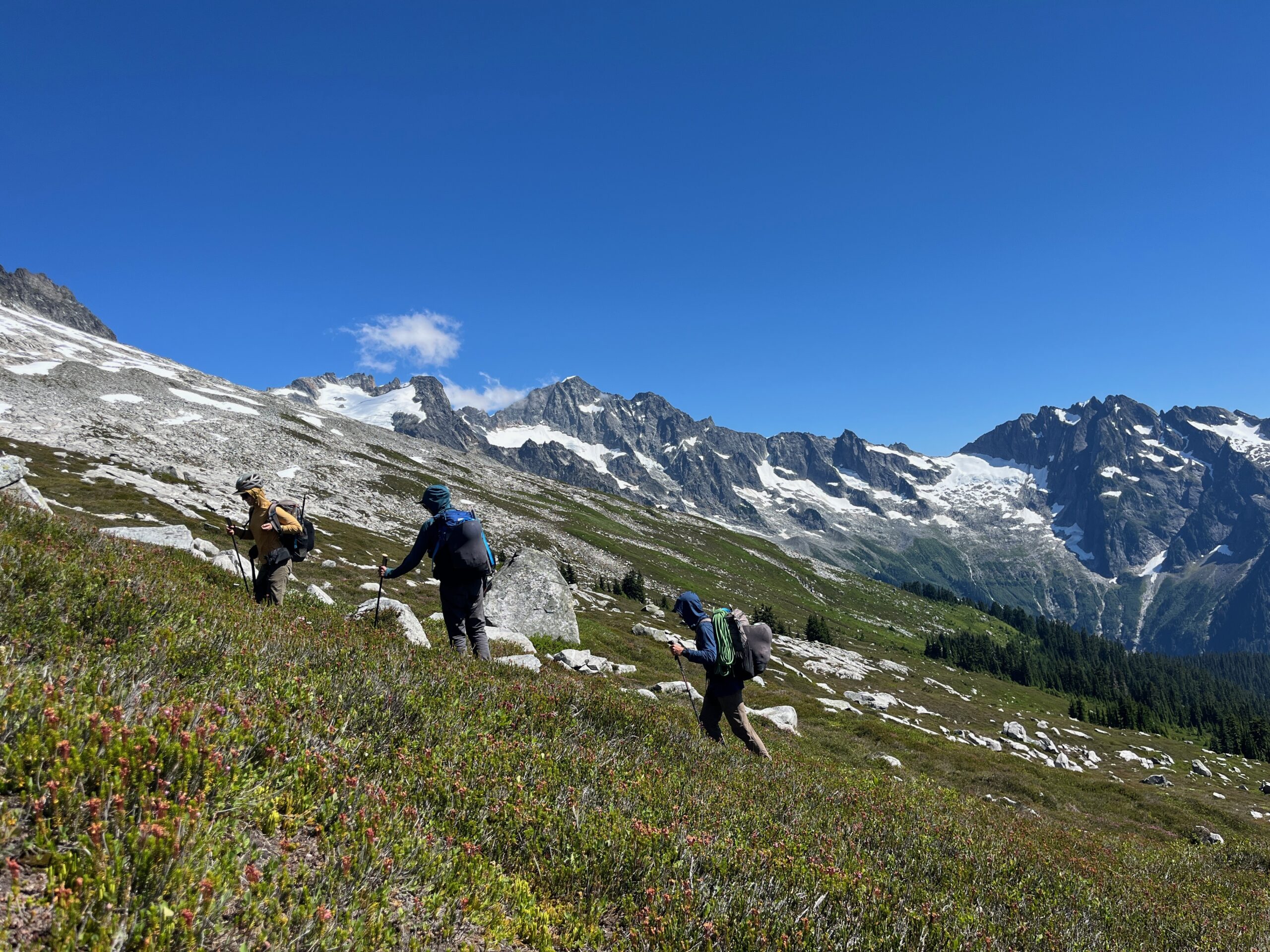
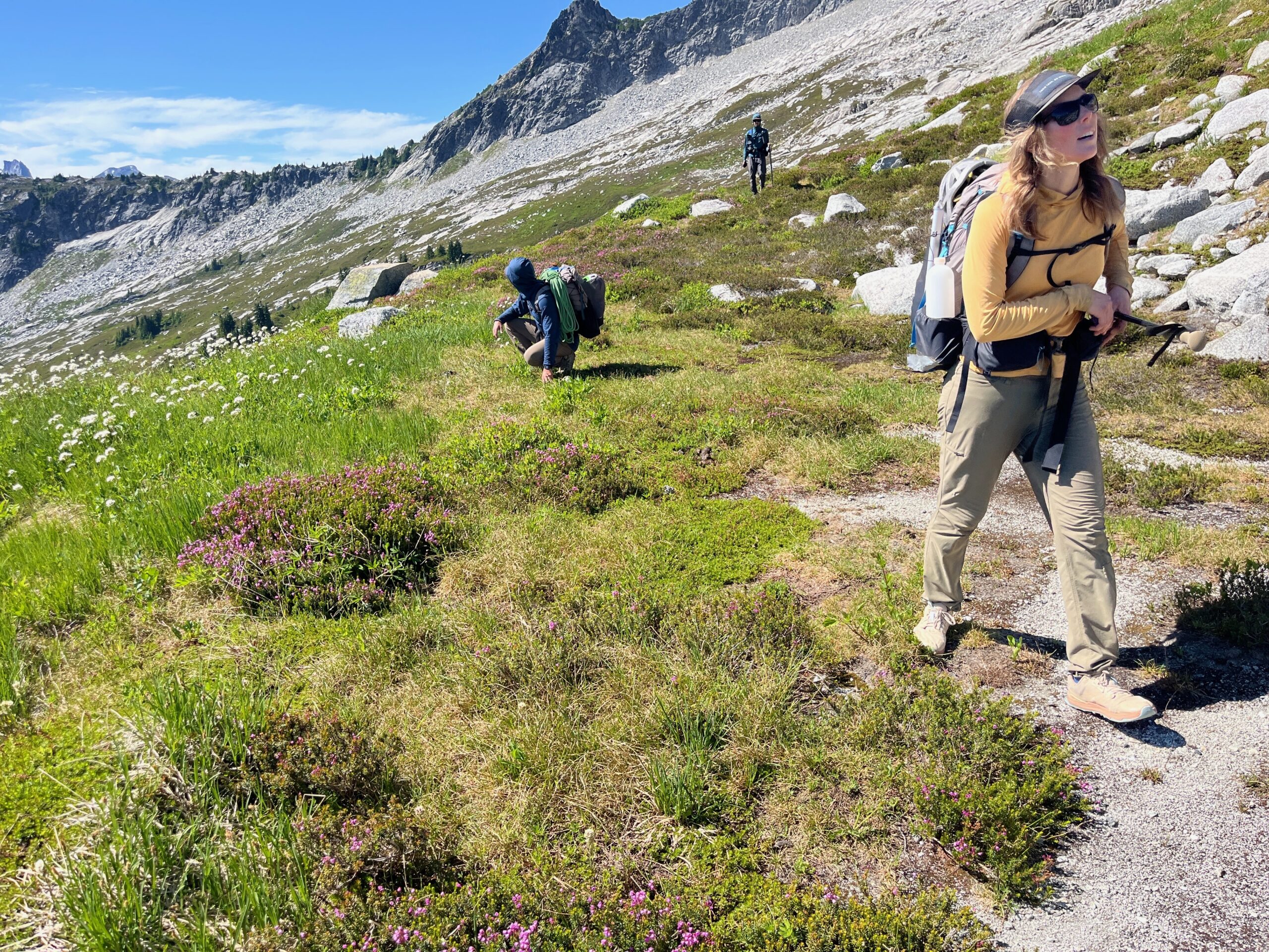
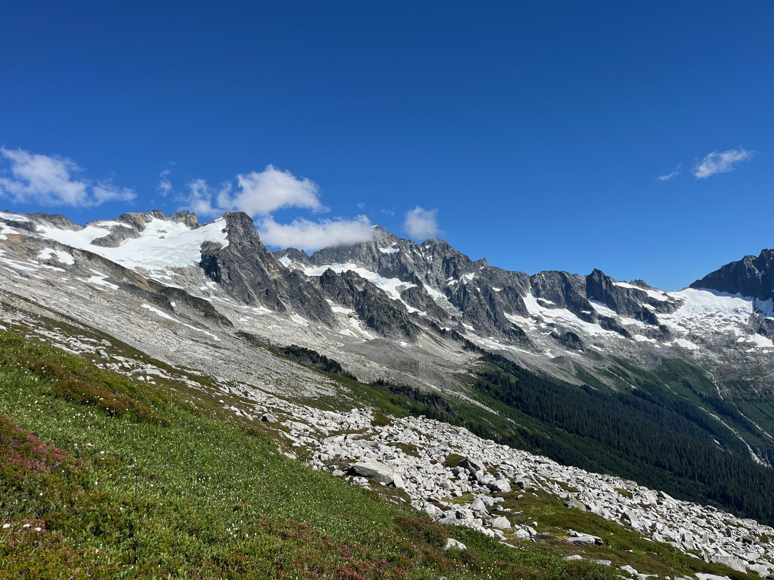
From here, we found a way off the other side through some trees and on steep grassy slopes down onto the broad southwest slopes below Backbone Ridge. We walked these broad slopes over undulating terrain and with beautiful little creeks every so often. This travel was more tiring than expected, but the views were amazing towards the Triad!
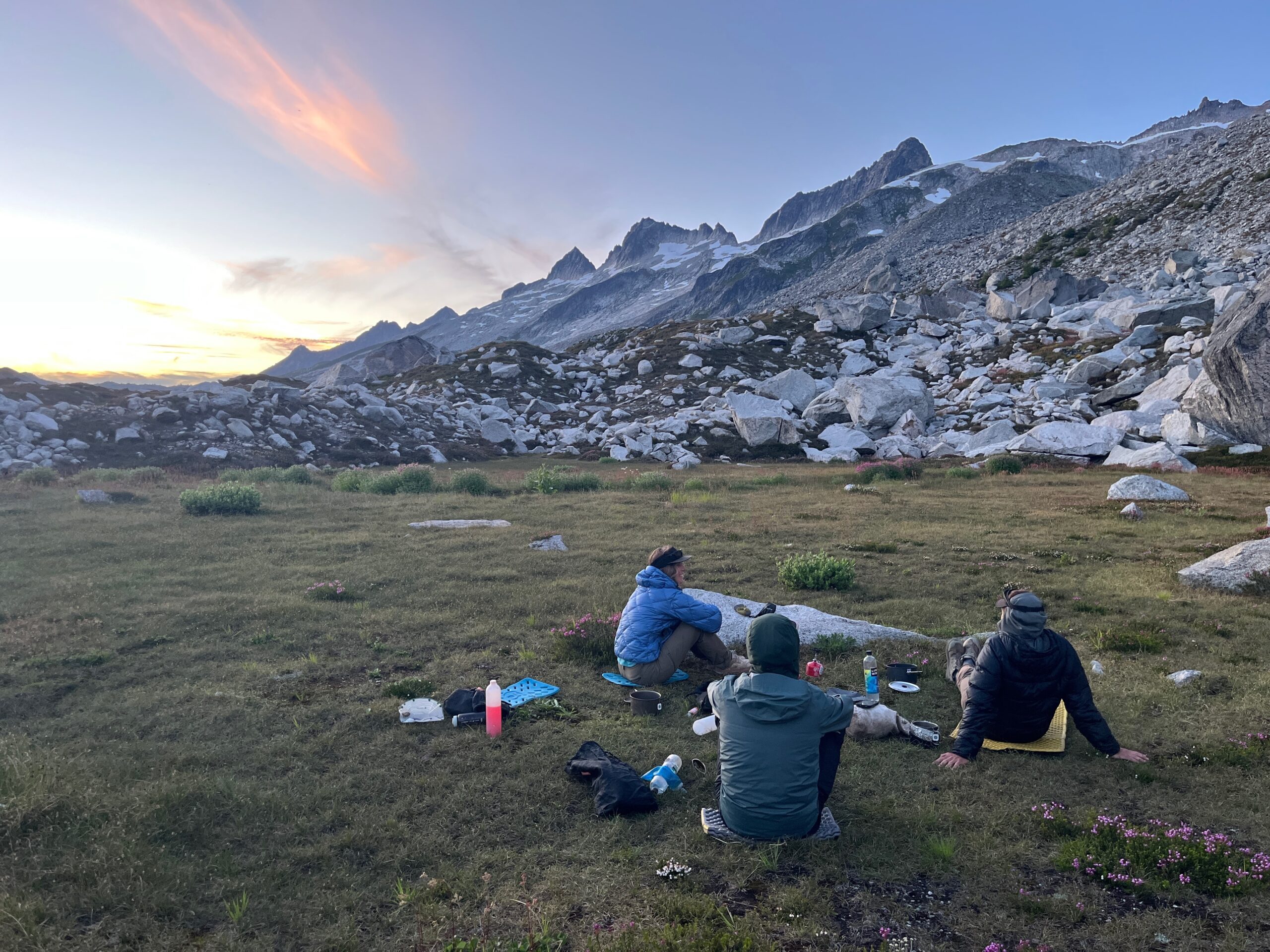
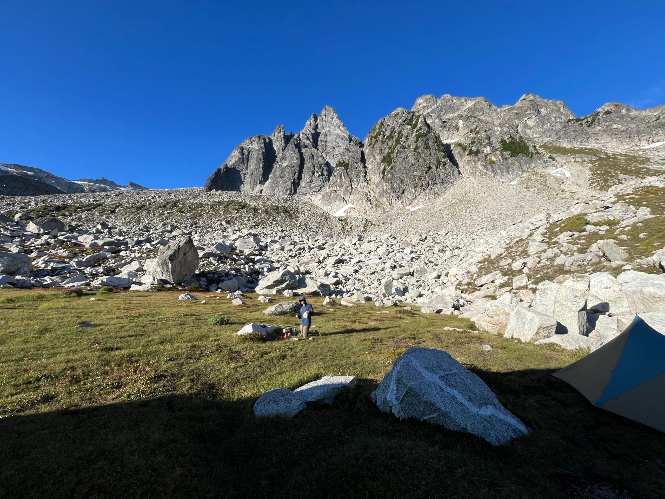
We traversed around 5,800′ to 6,000′ feet most of the time eventually making a climb to just above 6,000′ to pass above a few tree covered knolls that were in front of us. Past this, the terrain turned into granite slab walking instead of heather side hilling and we were able to find a route through by staying around 6,000′. Eventually, we noticed a big grassy meadow with a delightful creek running through it a few hundred feet down. We headed there to make camp for the night. May have been one of the best Cascade campsites we have stayed at.
Day 5 – Hike out Eldorado climbers trail
Jul 31, 2026 07/31/2026
We woke and were moving from camp at 7:30 a.m. and crossing over around the toe of Early Morning Spire at the lowest trees we could see at around 5,600′ There is a tree ramp up higher that we wondered if it would go, but decided not to find out. Once we made it into the area of the main drainage we followed a rocky and sandy slope up a couple hundred feet.
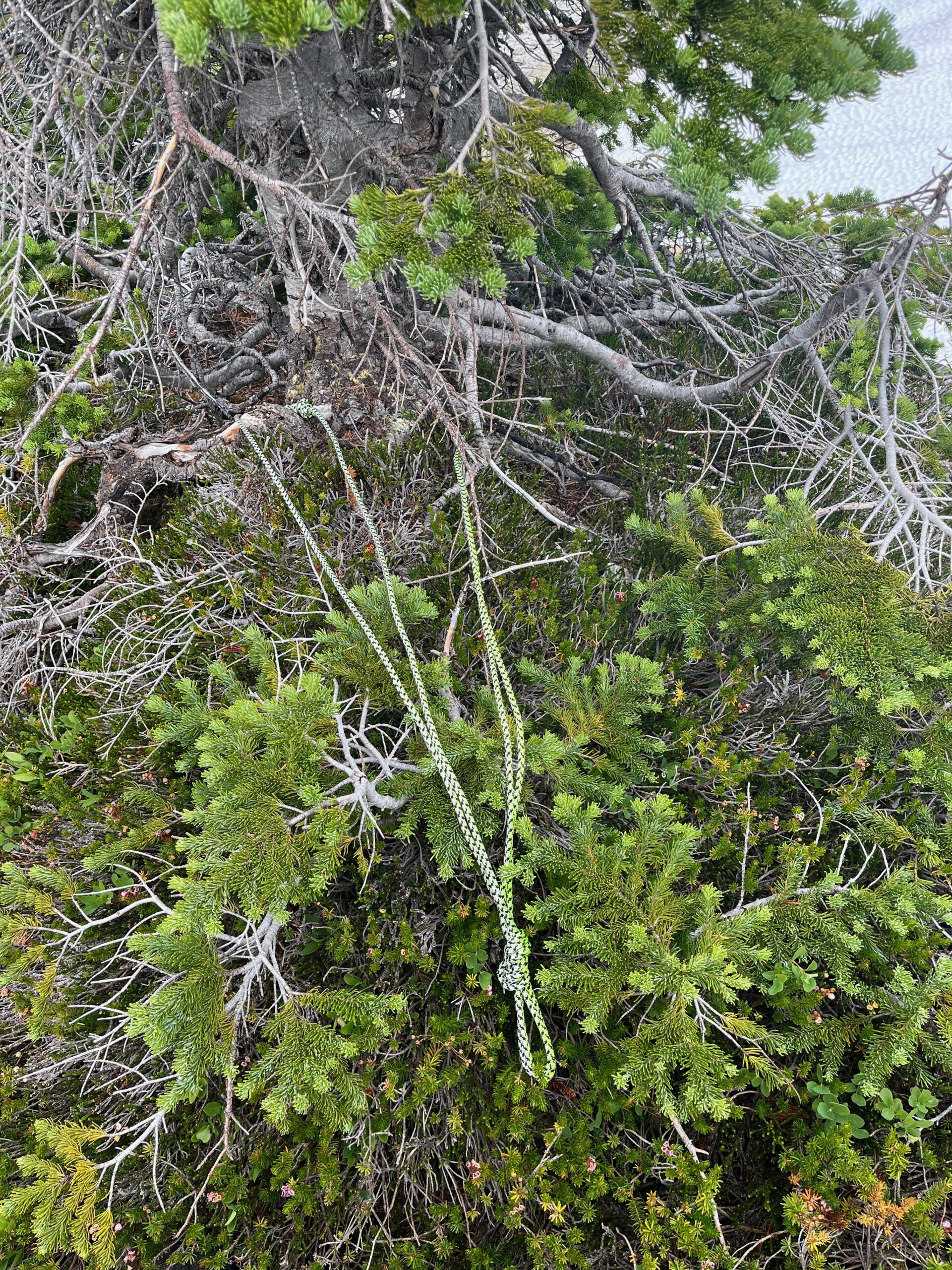
We stopped and assessed that we had a few options – drop down into the main drainage of Marble Creek and follow that to the top or continue a rising upward traverse of the slope we were already on. We chose to continue our rising traverse, but looking back we should have dropped down into the main drainage of the gully to find the easiest terrain to the top. Regardless, we continued our traverse making our way on intermittent slabs and snow, eventually getting cliffed out and having to make a short rappel at around 6,800′ to get us into the main drainage where we were then able to walk easy snow to where it met the loose rock to the notch and make a very loose class 3 scramble one at a time to the notch. Our choice to stay on the upward traverse may have cost us some time, but it was a fun little adventurous route. Lots of cliffs and some exposed moves throughout. I’ll likely go the lower route if I pass through here again.
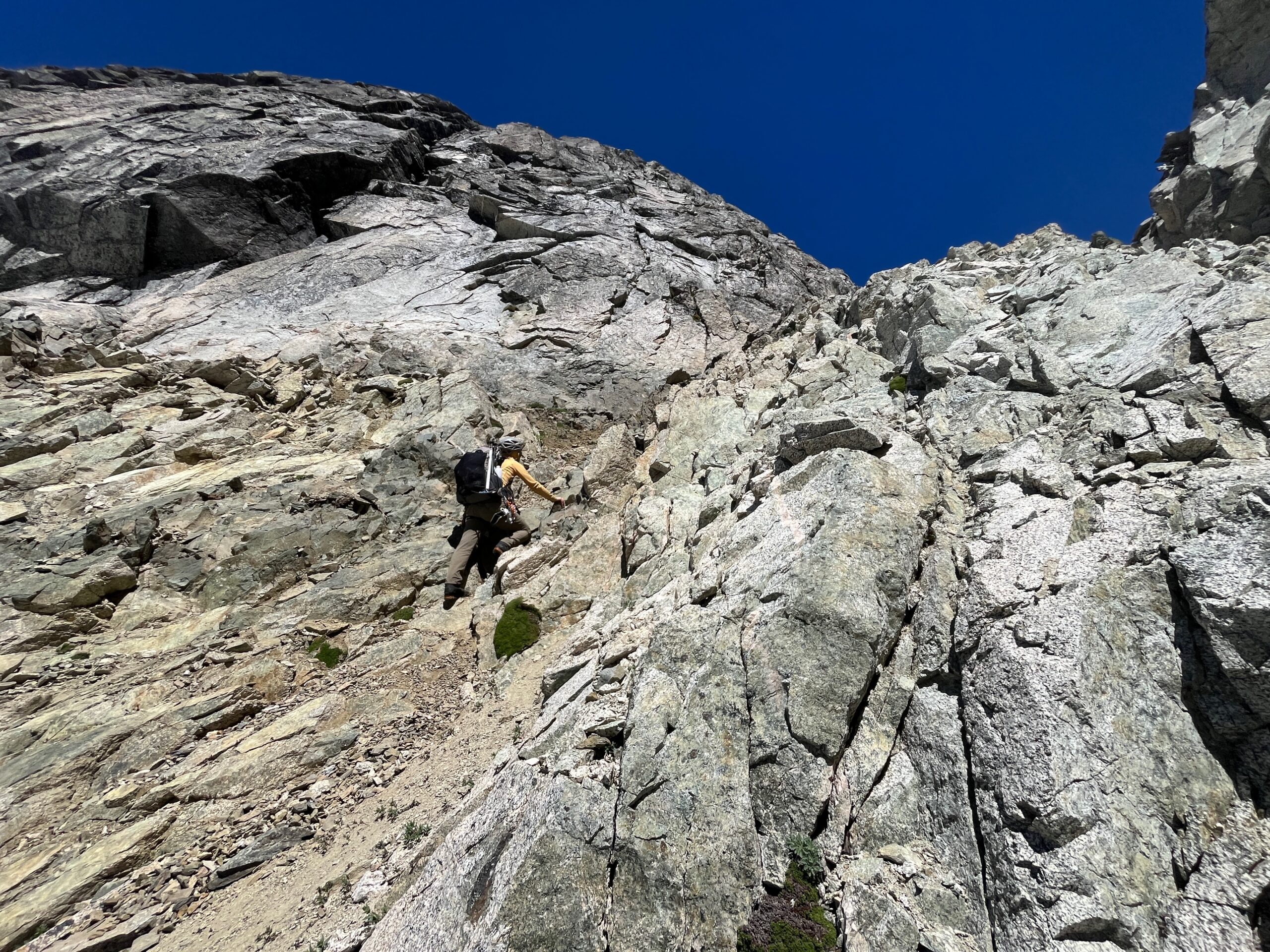
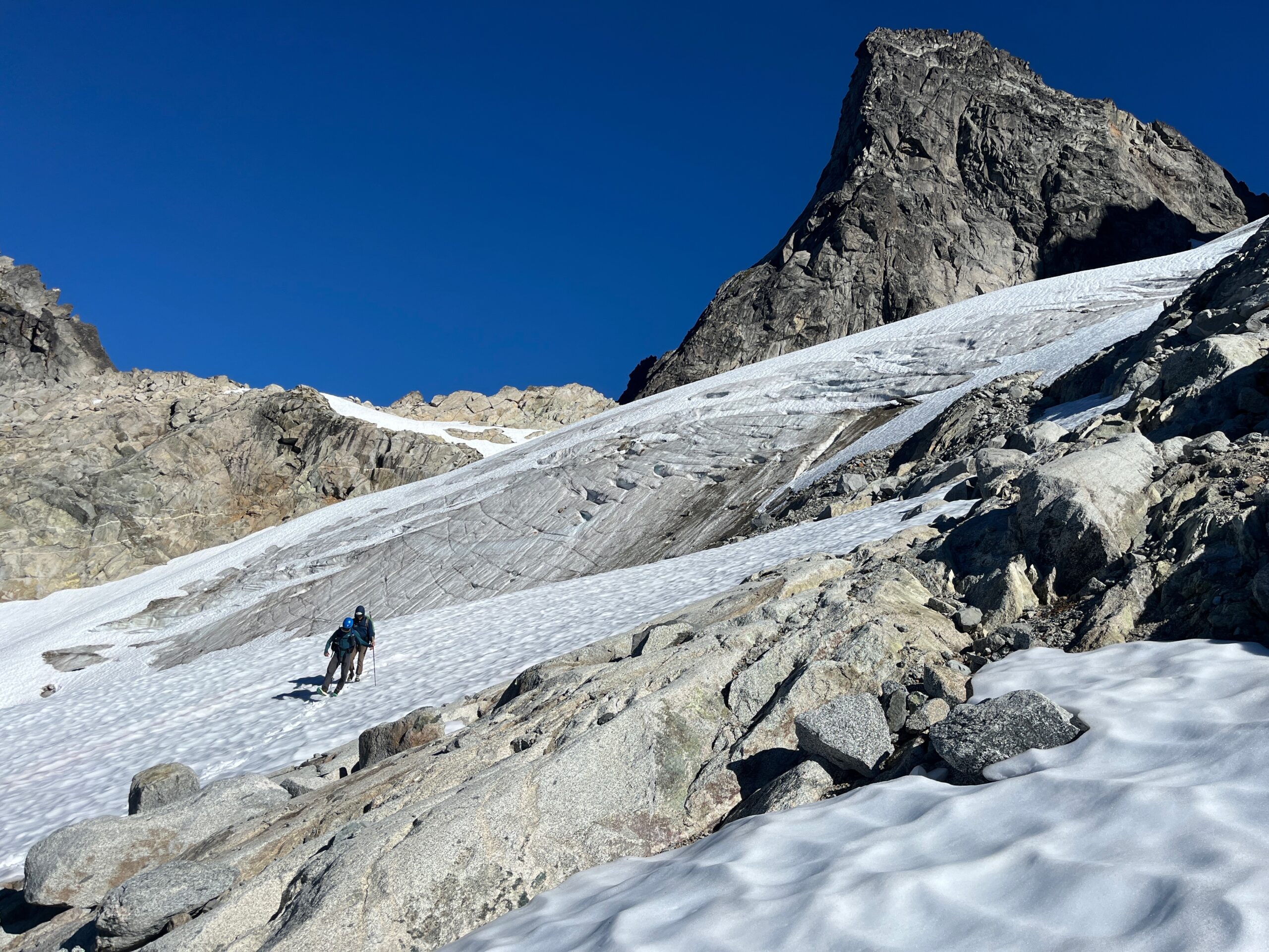
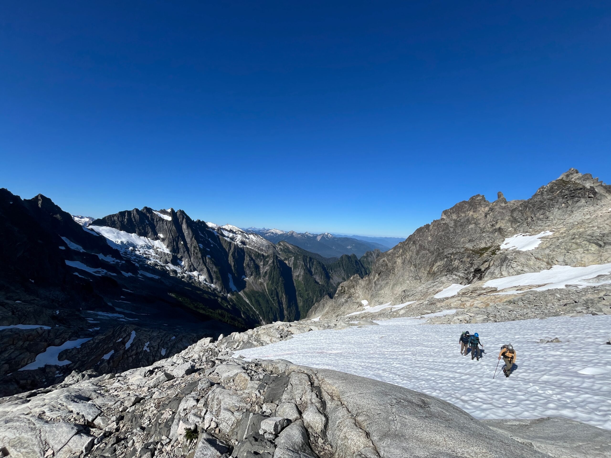
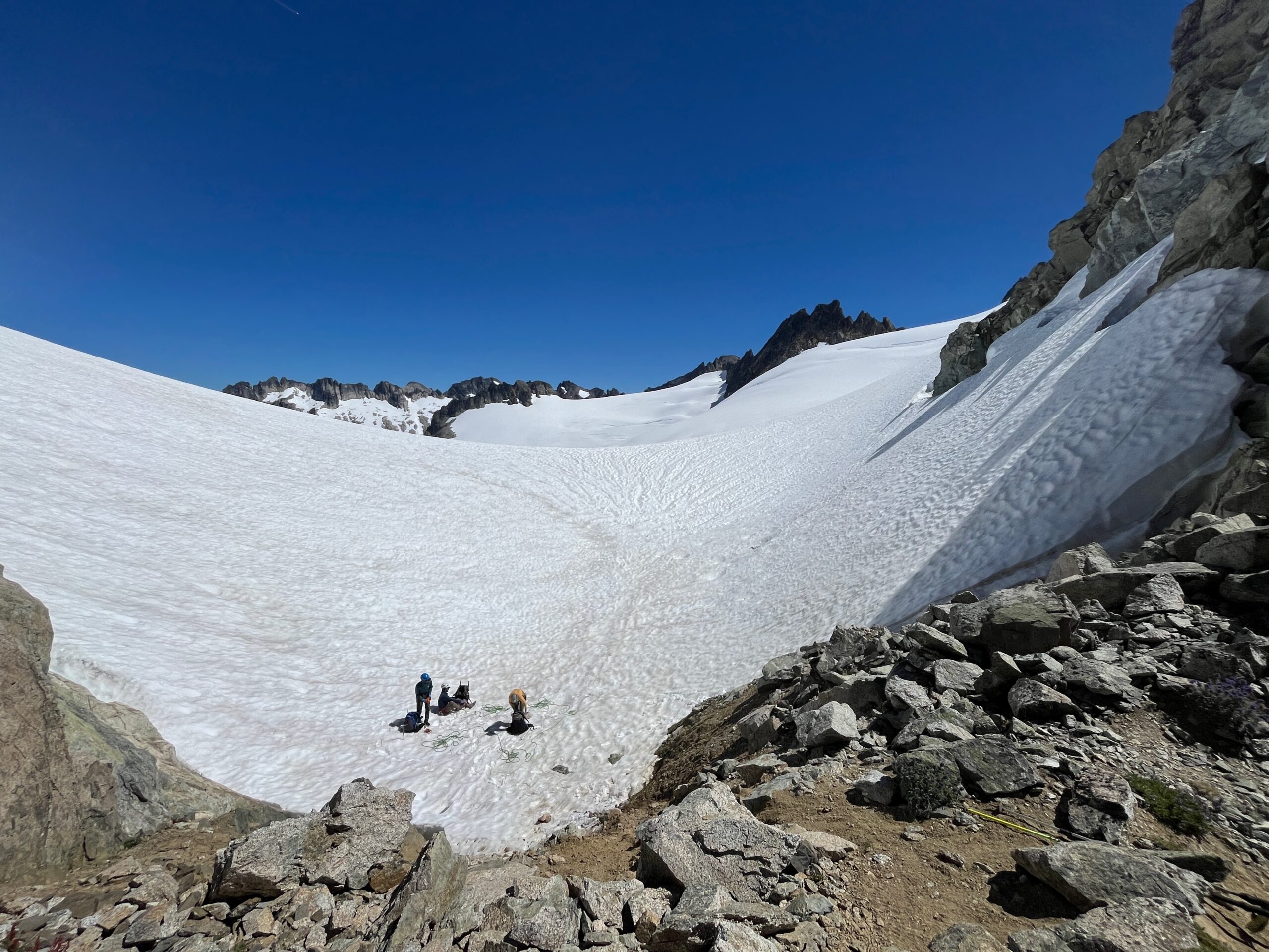
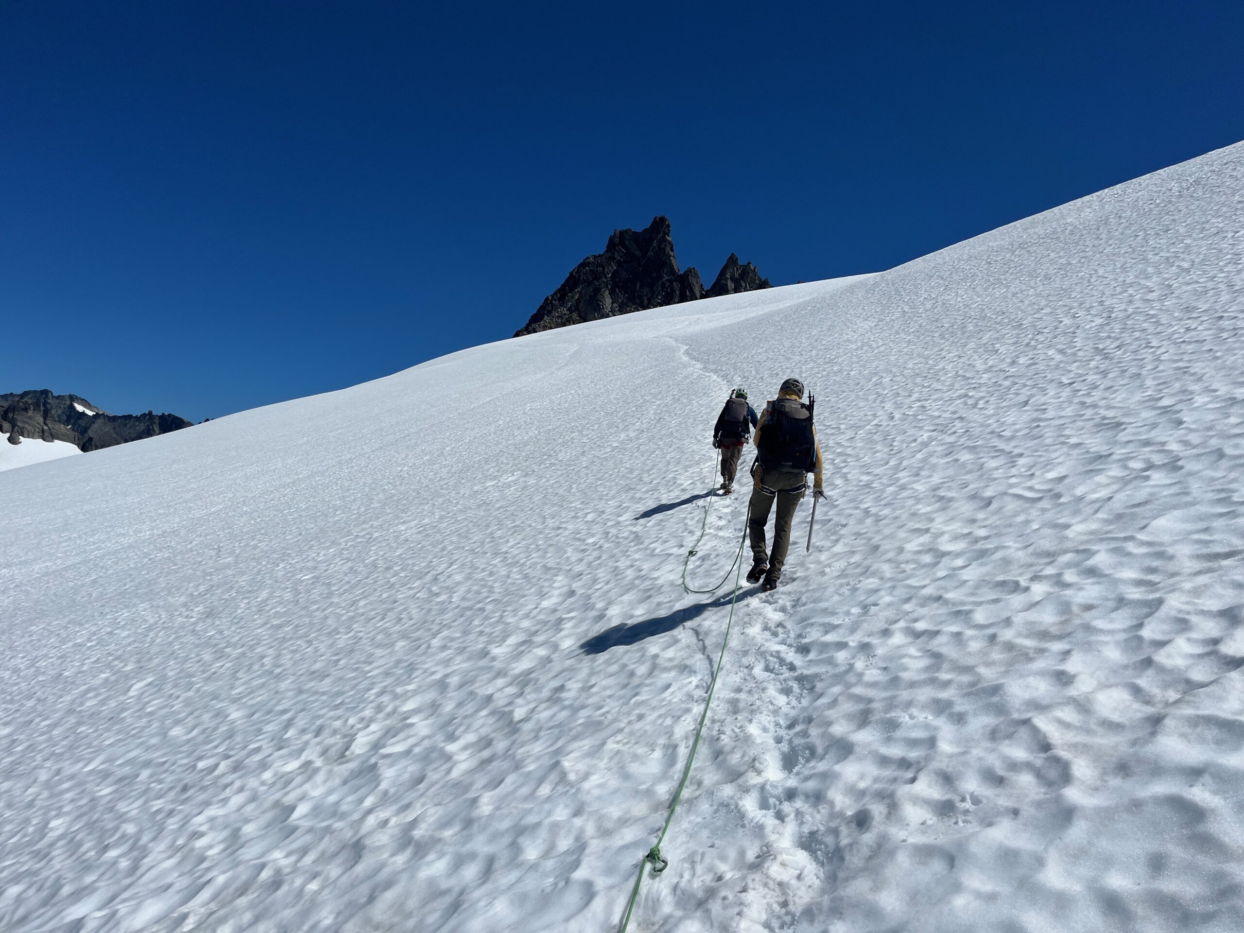
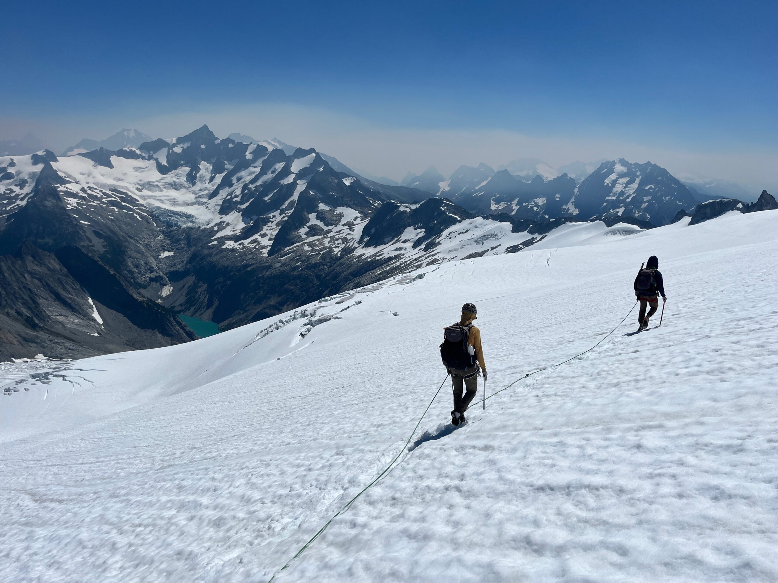
Once we were all at the notch, we roped up and got onto the McAllister Glacier traveling upwards to where it meets the Inspiration Glacier. There were great views of our whole route from Snowfield Peak up and over Isolation Peak that we had traveled over the past few days. We could see some smoke blowing in from the many fires around the state and we were beginning to feel it in our lungs and eyes. We briefly considered climbing Eldorado Peak, but decided against it because of the time and the smoke.
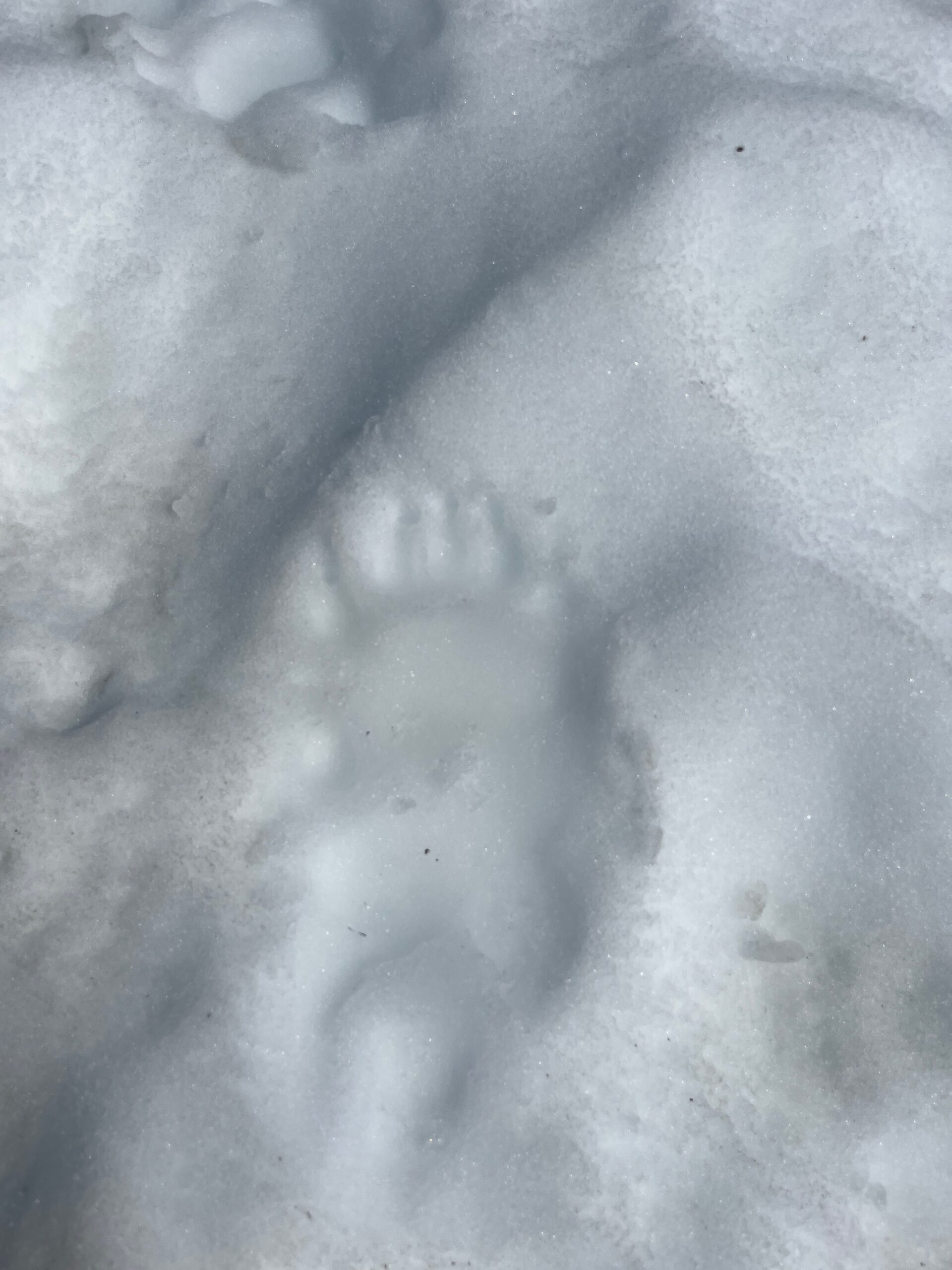
We took a long break at Eldorado Camp, filled up water and ate a snack. While we were there we noticed a small black dot over on the west side of the Eldorado Glacier. We thought it was a climber, but then we got the binoculars out and realized it was a bear walking along the glacier. Wow! We proceeded to watch the bear travel down the glacier stepping over partly open crevasses and then jumping over a larger one. At that point we all yelled because it was so cool which spooked the bear, sending it running down the glacier to continue leaping up and over the crevasses. It must have gotten cliffed out at a crevasse because it turned back uphill and made its way up and over the south ridge of the Torado Needle. We’d never seen a bear jump or climb like that on a glacier or on steep rock. We were excited to have seen it.
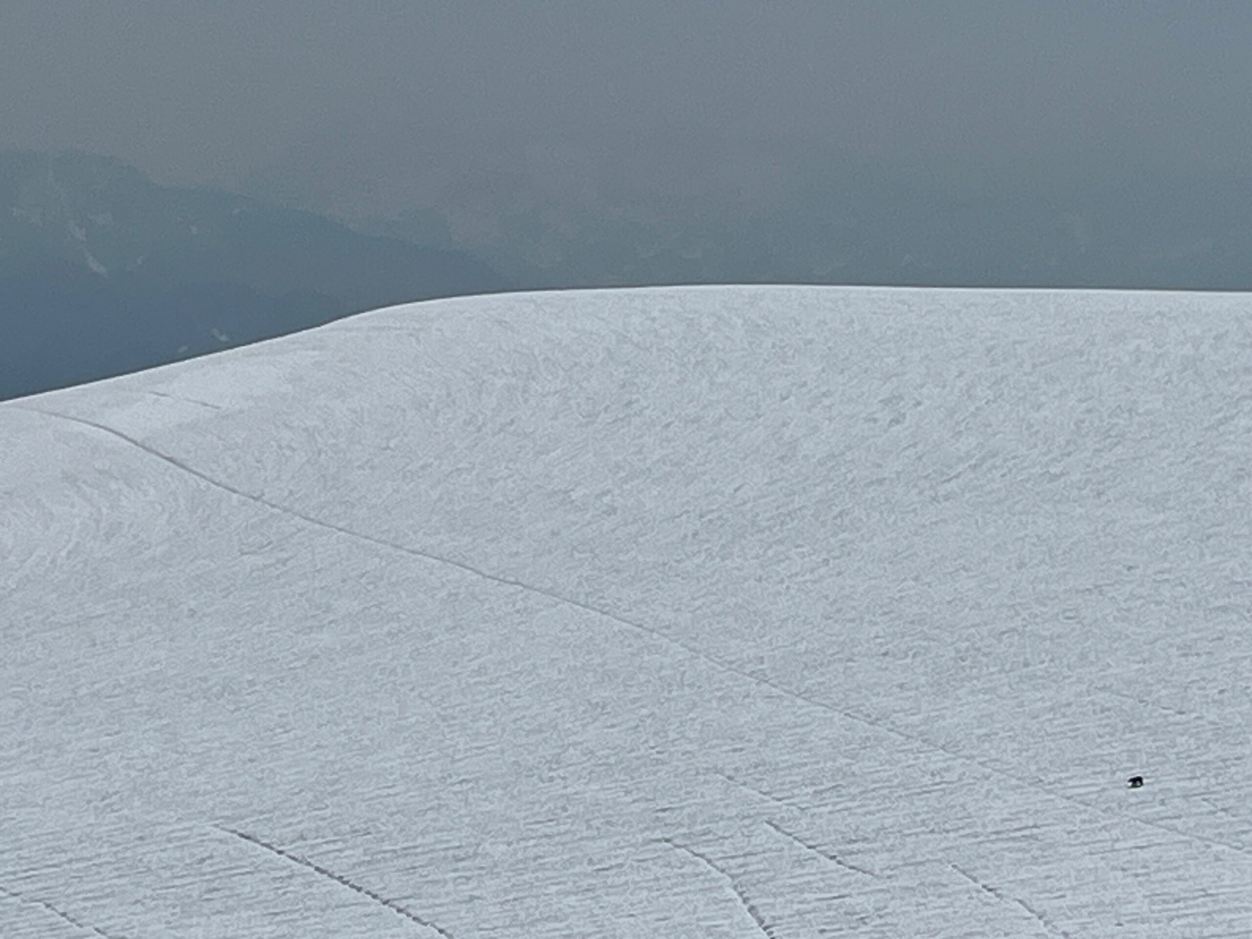
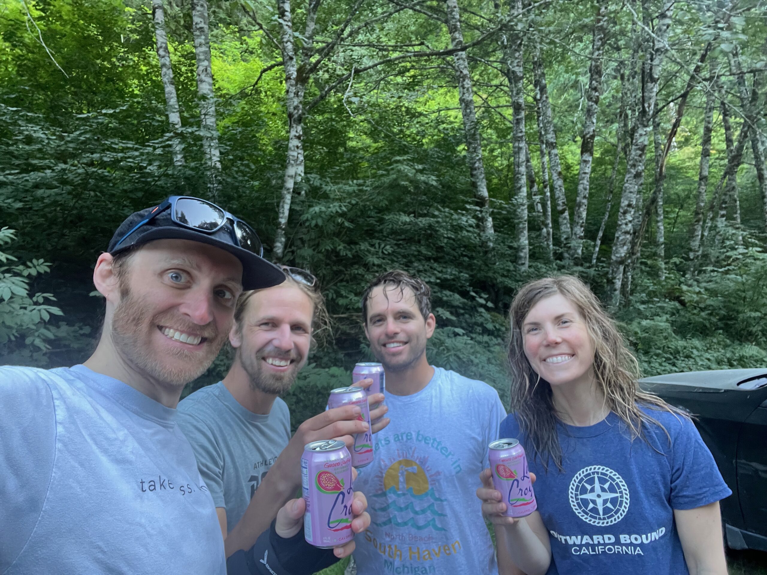
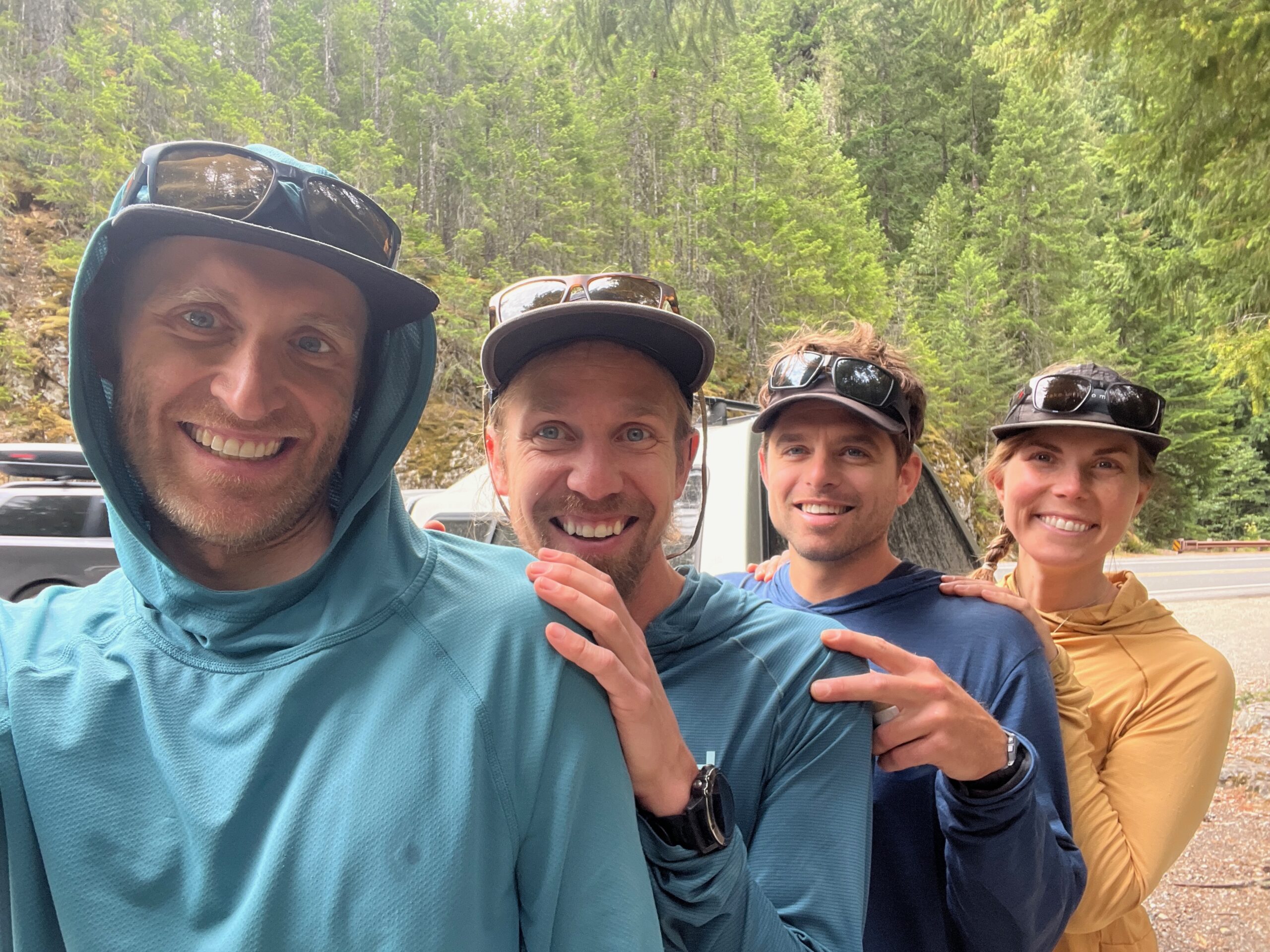
After that we made our way across the Eldorado Glacier, past the Torado Needle, did a few short glissades down and then walked the slabs following intermittent cairns down to where you climb over the ridgeline in a well trodden, but steep grassy gully. From there we followed a well defined trail through open meadows, a boulder field, and eventually into thick forest with lots of root covered trail. We jumped in the creek at the bottom before reaching the car to change, and enjoyed the drinks and snacks we had stashed in the car for the end.
Such an awesome trip with great friends while exploring a new area of the North Cascades.