Trip Report
Peter Lougheed Provincial Park Backpacking
Trip Overview
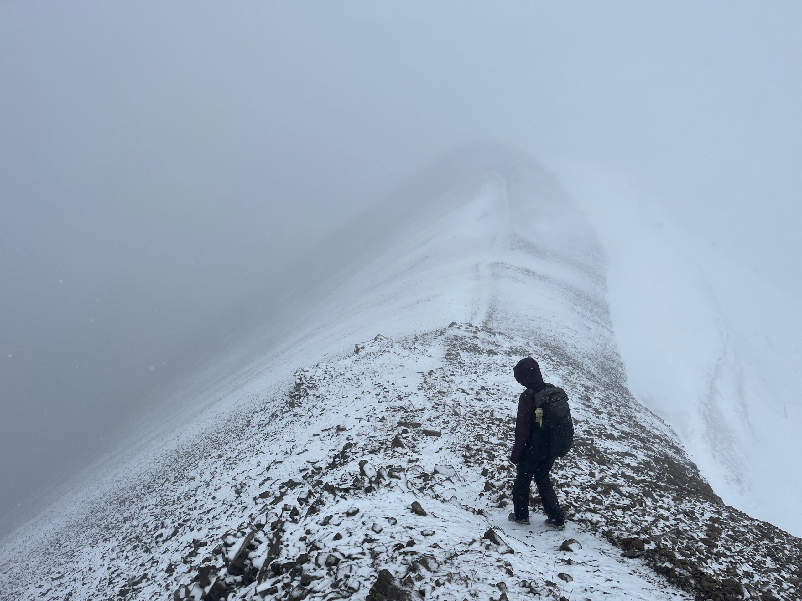
This was a rainy yet beautiful long weekend in the Canadian Rockies – a new area for both of us. Highlights included fossils and waterfalls in Pétain Basin, and the views above Maude Lake down to Turbine Canyon Campground. The Northover Ridge route was excellent and likely has incredible views, but it was snowing on us, so we couldn’t see much on that day.
Day 1 – Upper Elk Lake - Petain Basin - Mount Foch
Sep 4, 2026 09/04/2026
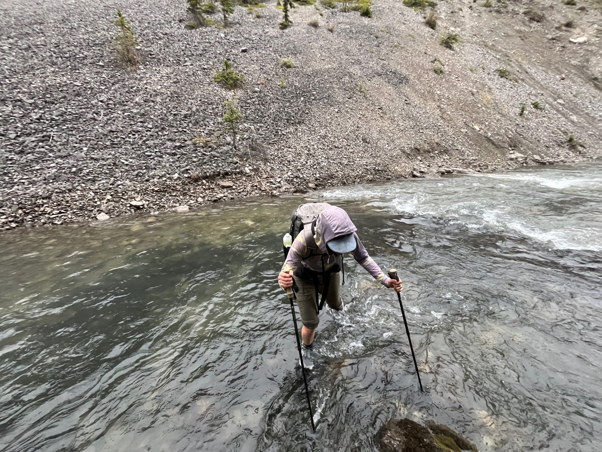
We left our campsite at Two Jack Lake outside of Banff very early and drove to the Elk Pass parking area to start hiking by about 8 a.m. We hiked on excellent trail that started as a road bed and turned into single track. It started raining mid morning. We put on rain gear and wore it for about the next 48 hours. At a junction before Upper Elk Lake we took the direct path towards the lake, and did an easy ankle-deep crossing through the outlet to the trail on the other side which walks along the lake.
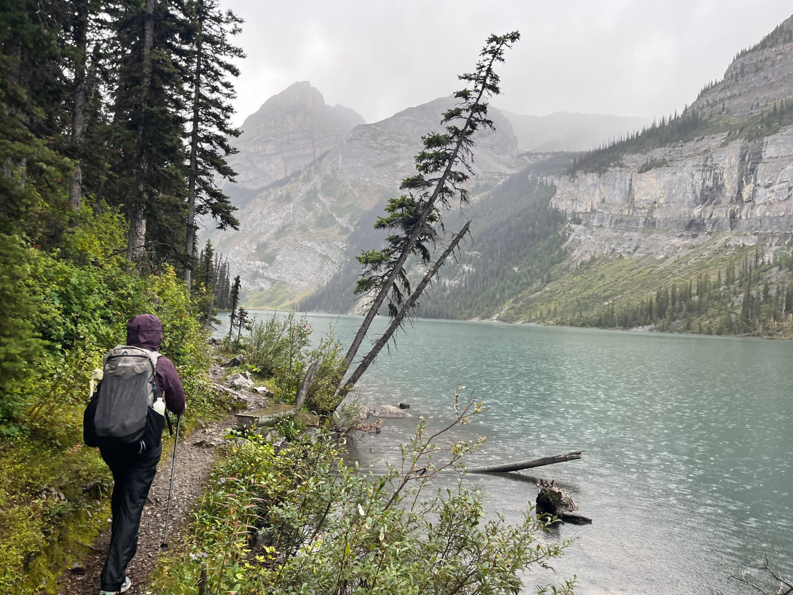
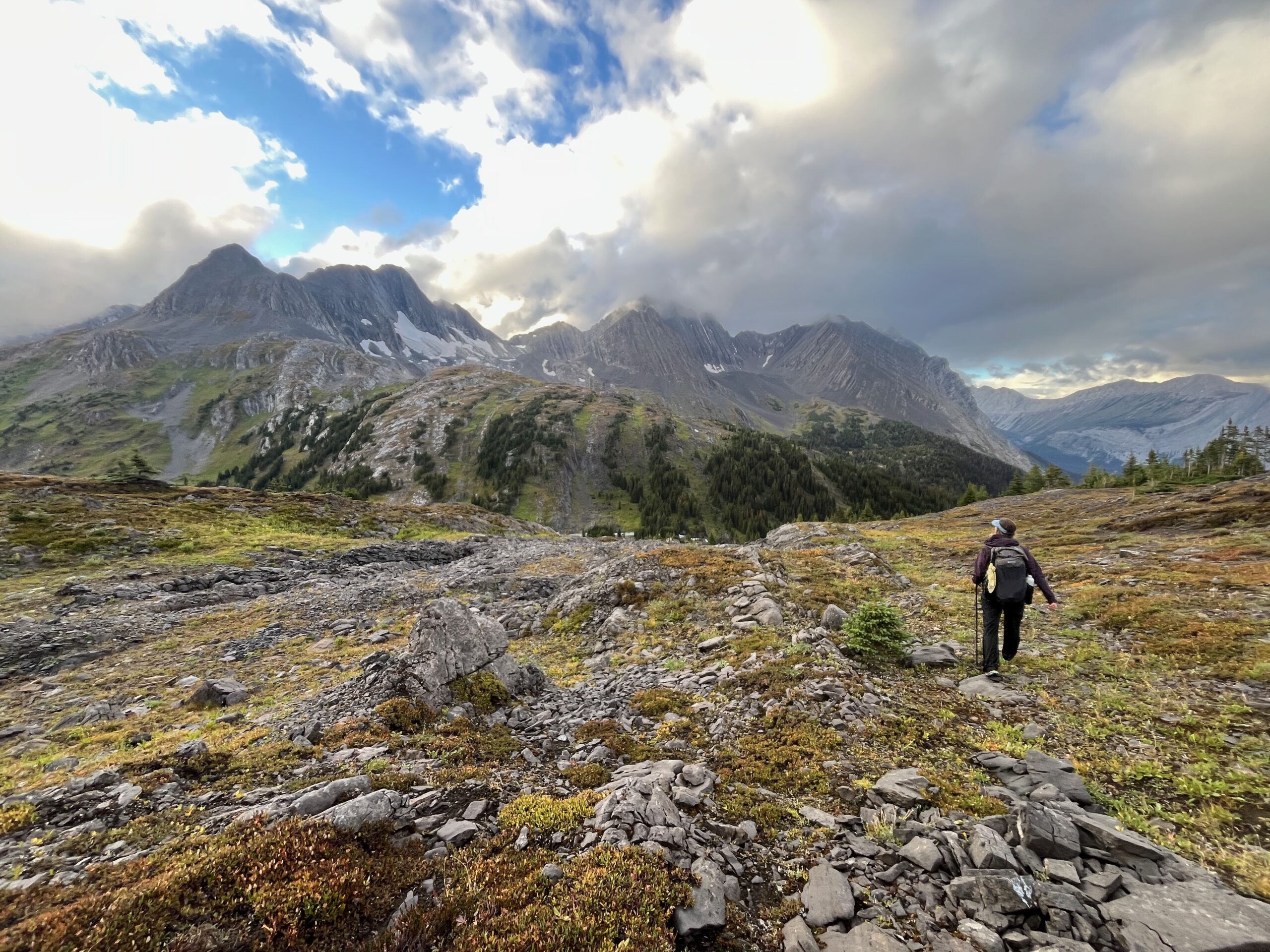
A great climber’s trail took us all the way to Pétain Basin. Although it was rainy this basin was very cool, a place we decided we’d love to return to. There were many tiers of waterfalls!
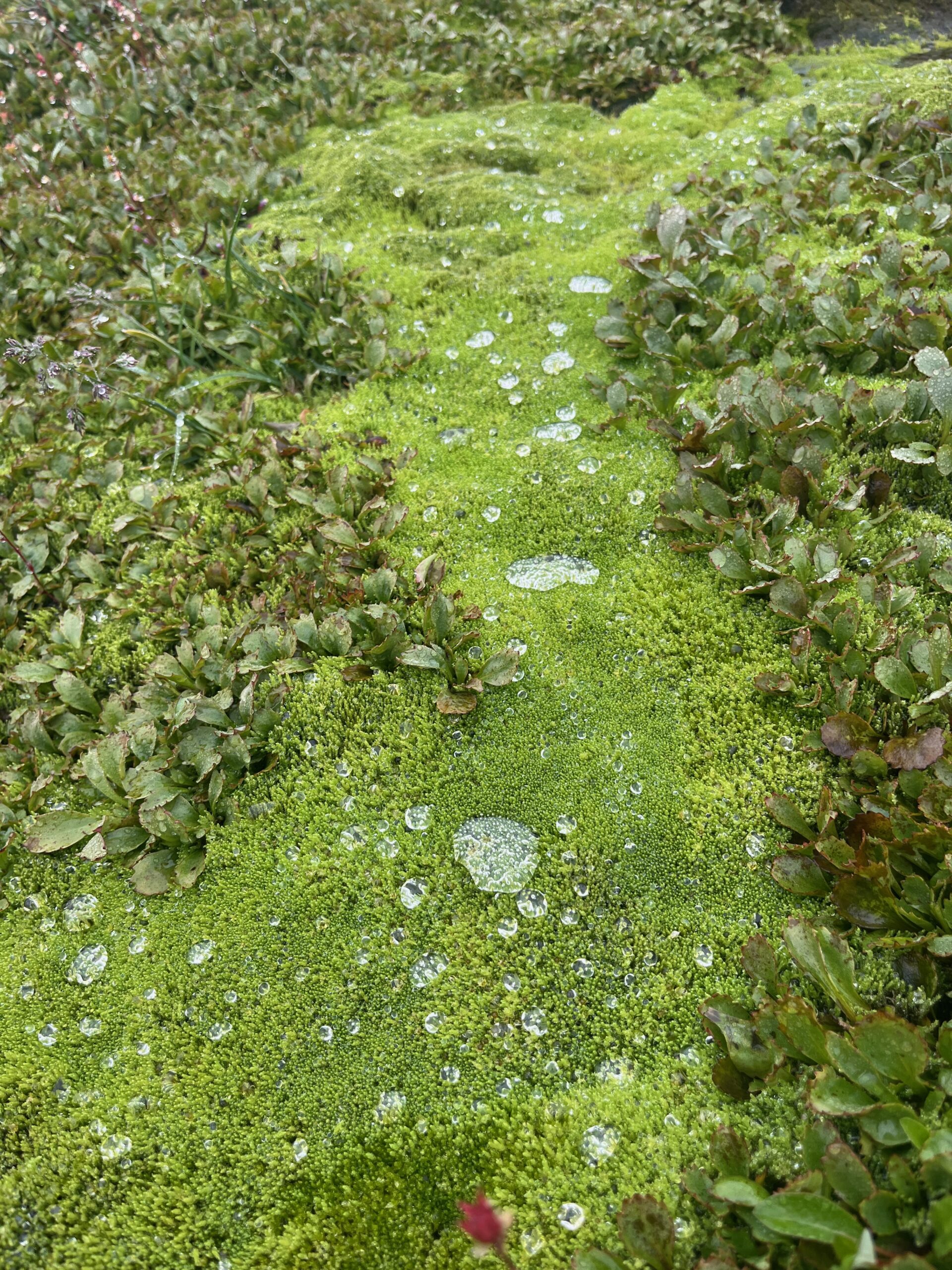
From here we followed cairns periodically but mostly travelled cross country without them, traveling on easy slopes with many interesting mosses, rocks and fossils! There is a dotted line on Gaia that was helpful to have, but there wasn’t a specific trail anywhere beyond the start of the basin. We ascended to the Mount Foch ridge line between the two summits. From here we scrambled on crumbling rock over the West summit, mostly staying on the ridge. There were a few very steep sections that we au-chevaled. We stayed focused as we went, sticking close together, and wishing that we had taken more time in planning for this section. A rope would not have been helpful given the crumbling rock, but we didn’t fully realize how poor and sketchy this scrambling would be. Although scary at times, this section was also a highlight – really interesting terrain and the sun even came out briefly for us to get a quick view.
After the ridge we looked at the “Mount Foch Route” on our map, and noted the much mellower looking terrain a bit farther west. We decided to travel towards the saddle on the far side of Mount Foch’s west summit before descending. This ended up being a mistake. We hit a few cliff bands and had to traverse back a little ways to get down. The travel from here was somewhat tedious, on loose rock that alternated between scree and brick size. It looked like the Mount Foch Route proper may have been more fully scree although steeper.
Either way – we made it down to Marlborough Pond, glad to be off the ridge and on more stable ground. We made dinner here before making our way down to Aster Lake – our first planned campsite of the trip.
The trail on our map was not there, so we travelled down the drainage and then contoured just above tree line around 2,300 meters over a small ridge to drop directly into the campsite rather than going all the way down to Aster Creek. This campsite was beautiful!
Day 2 – Northover Ridge
Sep 5, 2026 09/05/2026
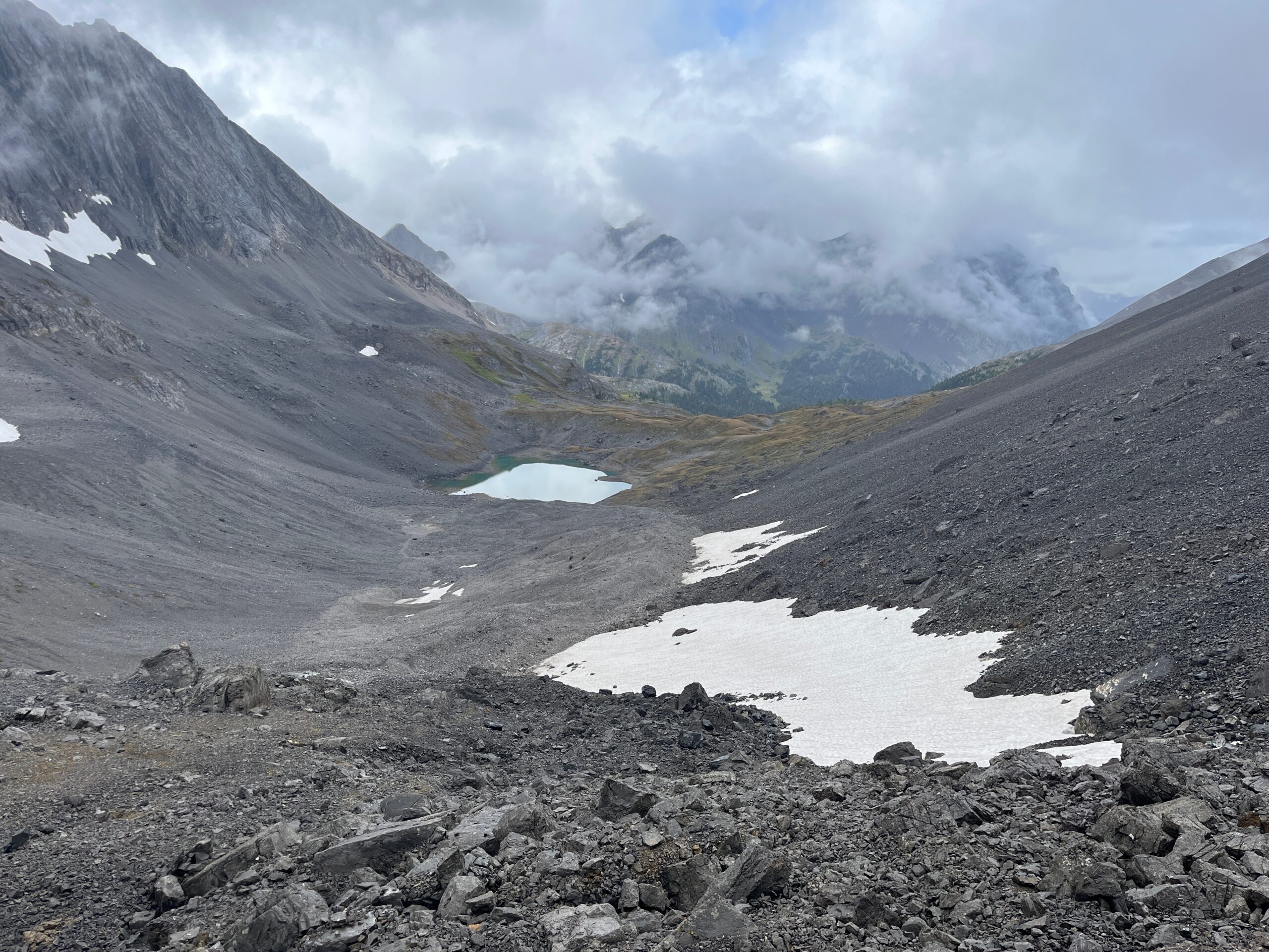
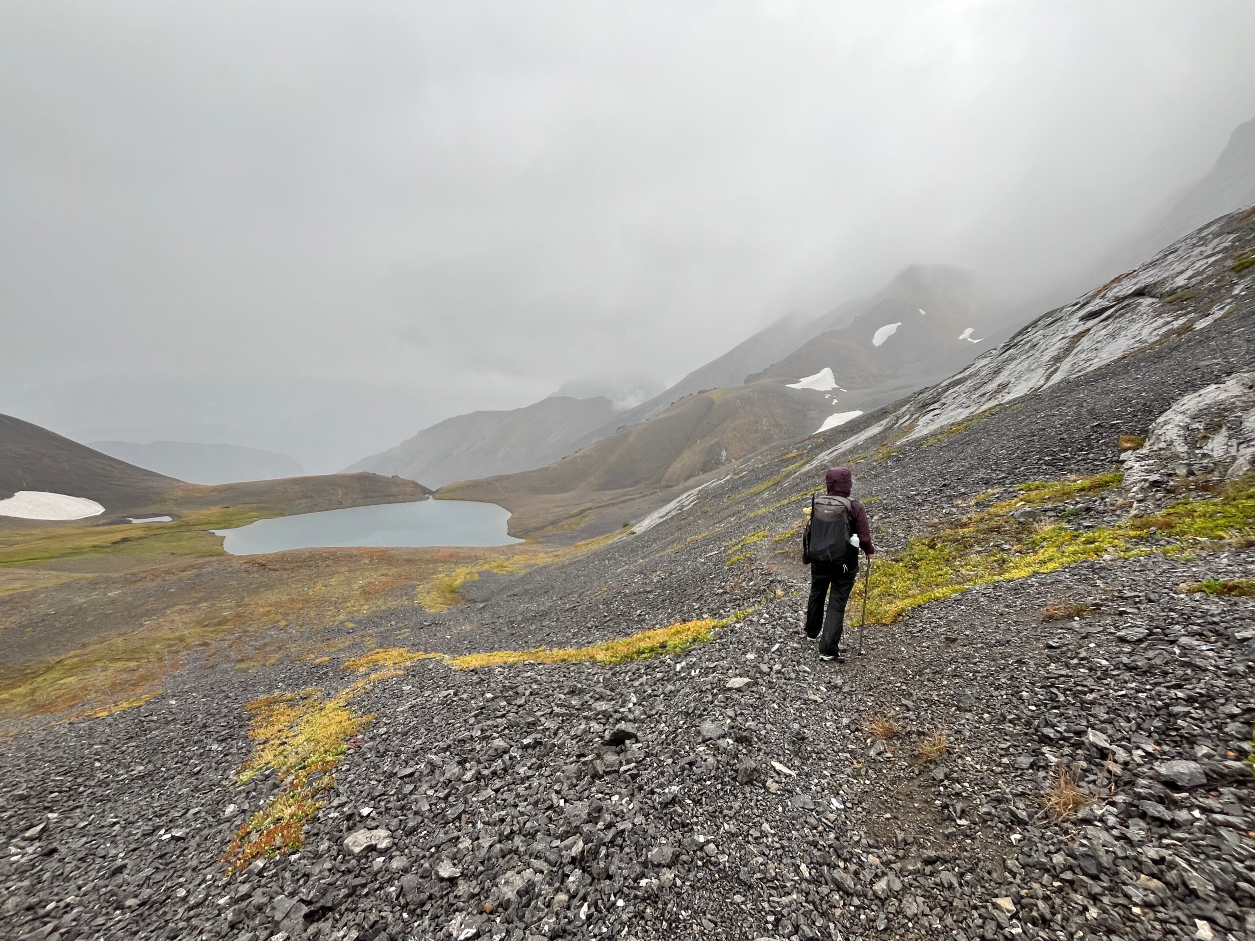
We woke up feeling hopeful about the weather, and it was clear for a few hours, but took a turn and proceeded to rain and then snow on us for the remainder of the day. We left camp and walked around the South side of Aster Lake. After crossing the open valley we ascended towards the Northover Ridge Trail.
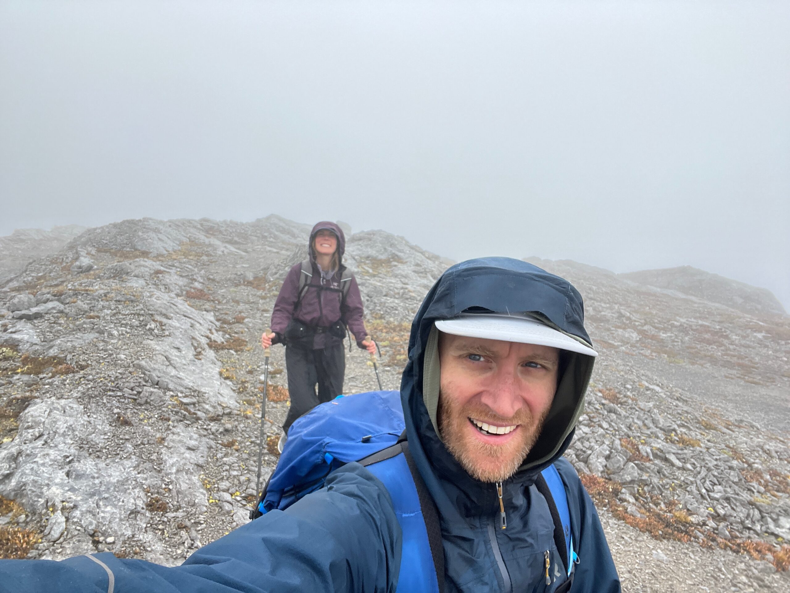
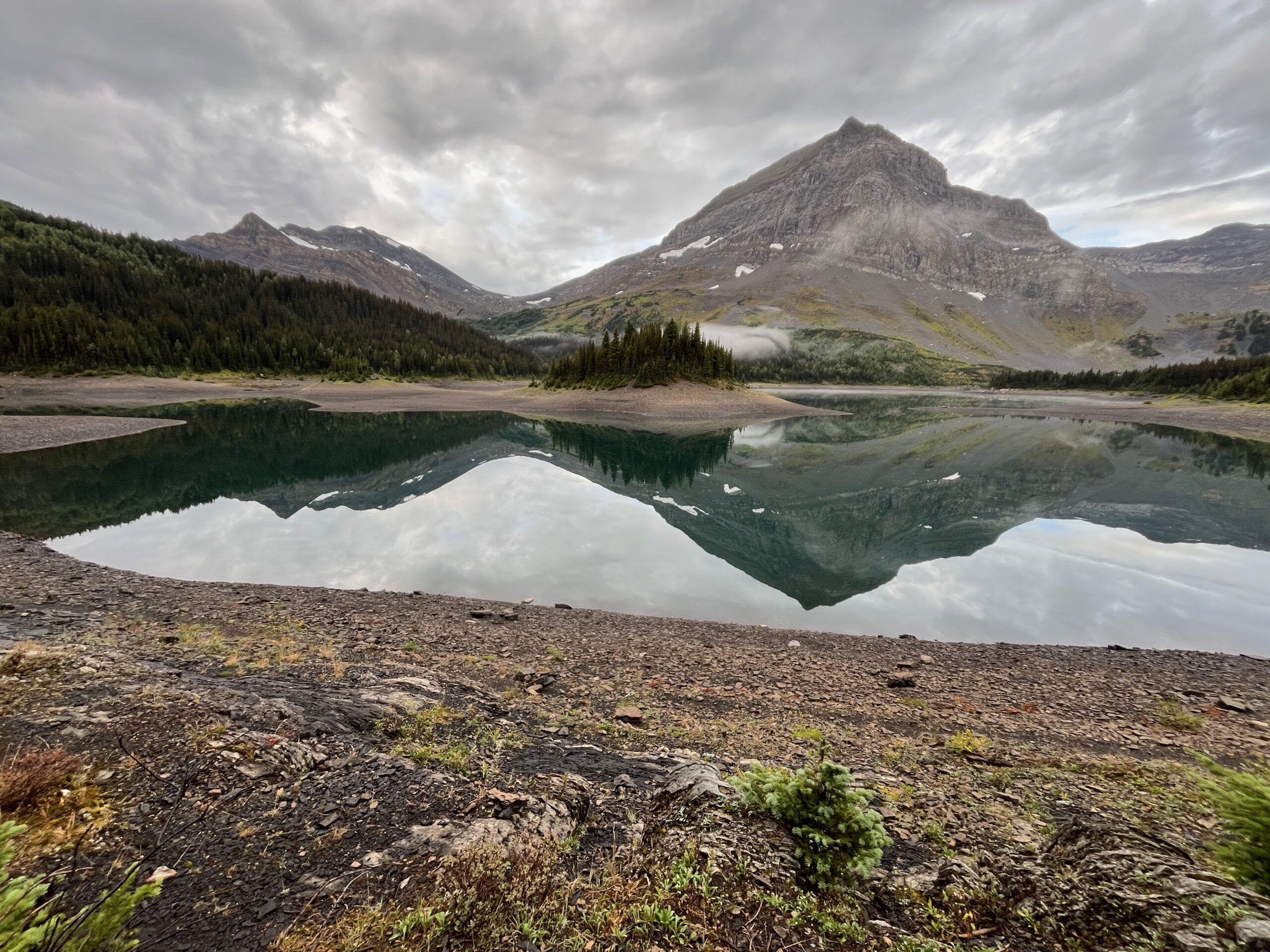
We started following cairns that led us a little farther South than necessary, but eventually picked up the very good trail that leads all the way up to Northover ridge and down to Three Isle Lake. We were grateful for easy to follow trail since it started snowing as we ascended to the ridge and continued snowing until we dropped back down towards our campsite for the night. Very soggy day! It would surely have been great views from that ridge. We will have to go back to find out.
Day 3 – South & North Kananaskis Pass - Turbine Canyon
Sep 6, 2026 09/06/2026
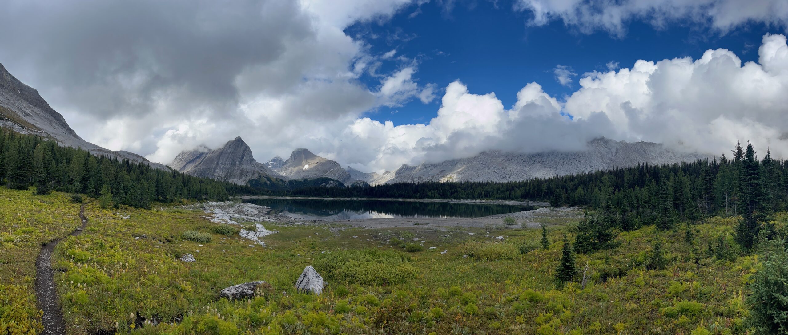
We slept a lot, prepared to bail the following day if the weather hadn’t improved. We woke up to clearing skies though and were excited to continue! After spending breakfast chatting with a really fun group of people at our campsite we hiked on trail over South Kananaskis Pass, onto the Beatty Lake Trail. We took brief opportunities of sun to dry out our shelter, and were glad to see the views!
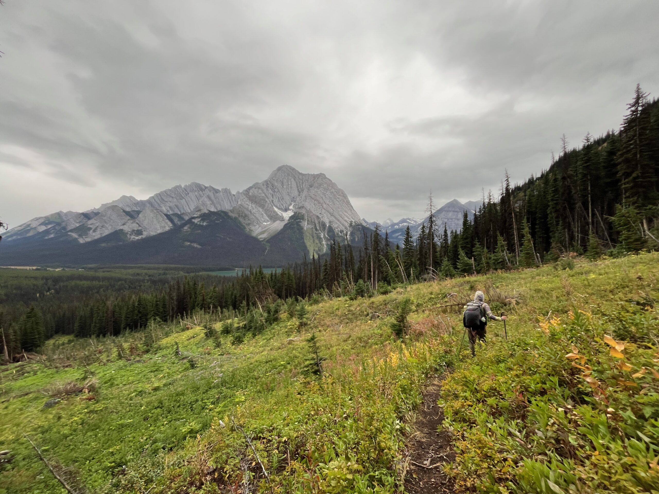
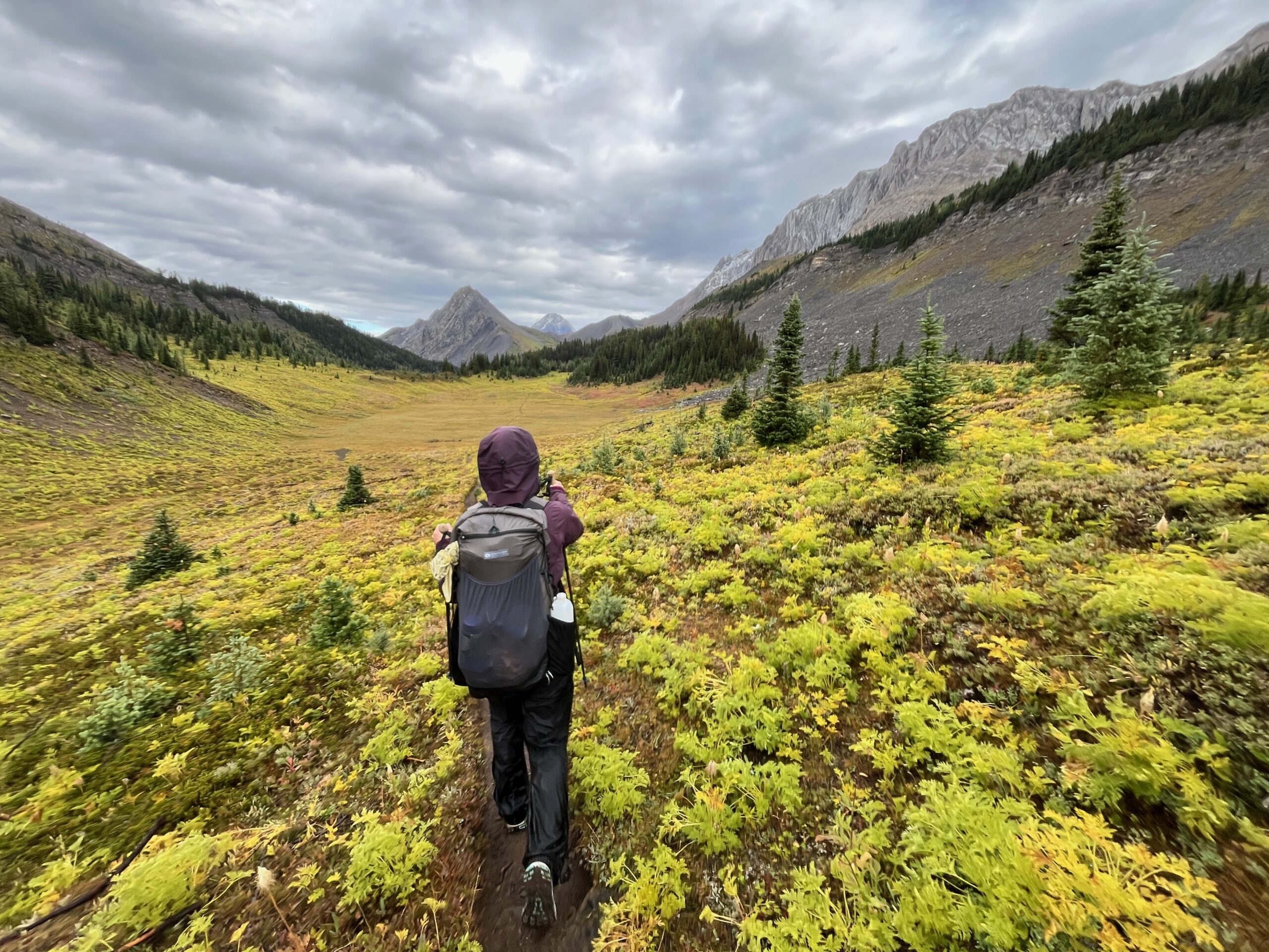
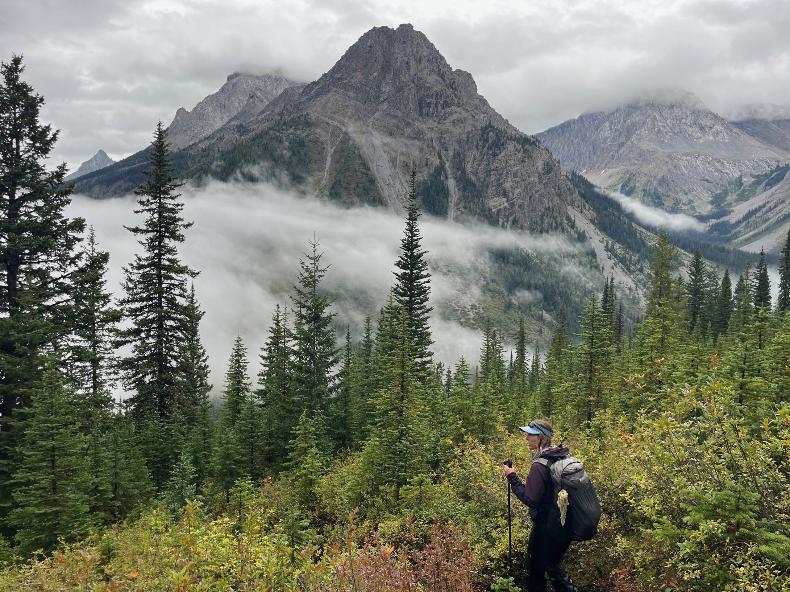
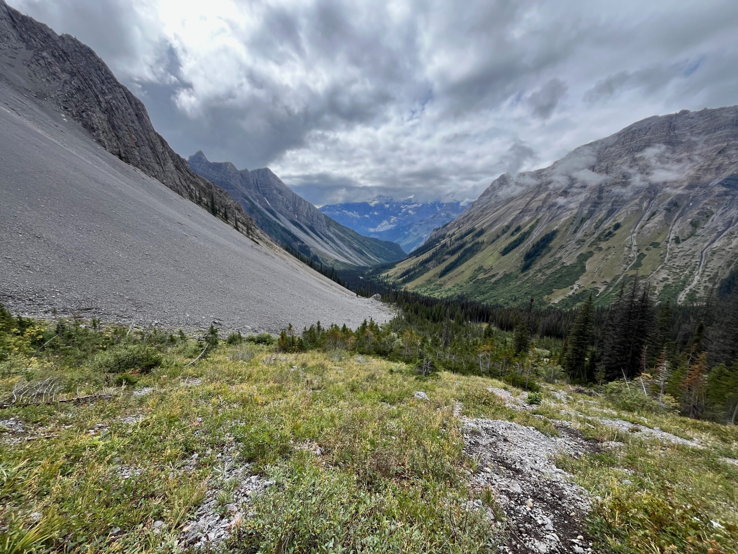
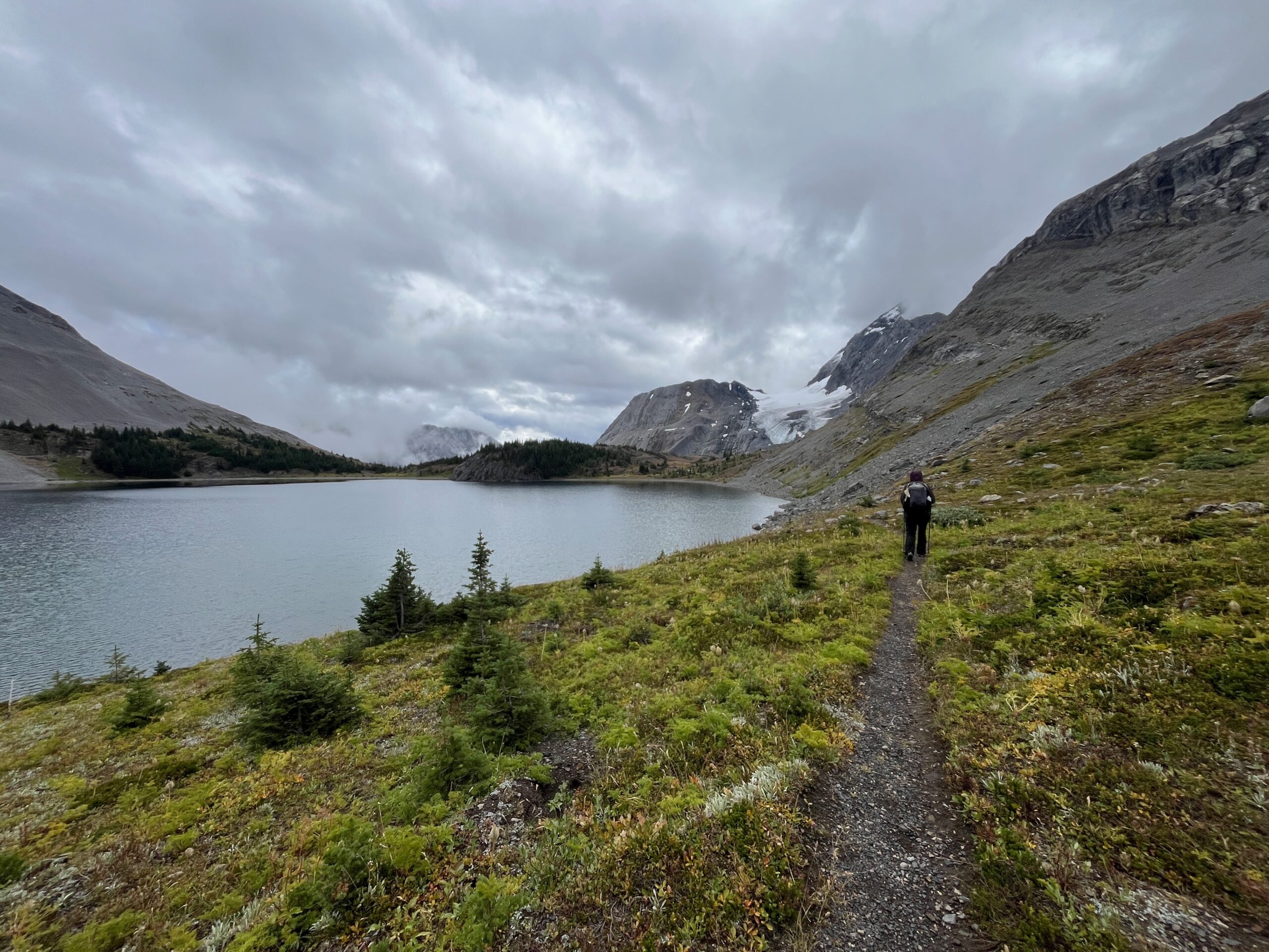
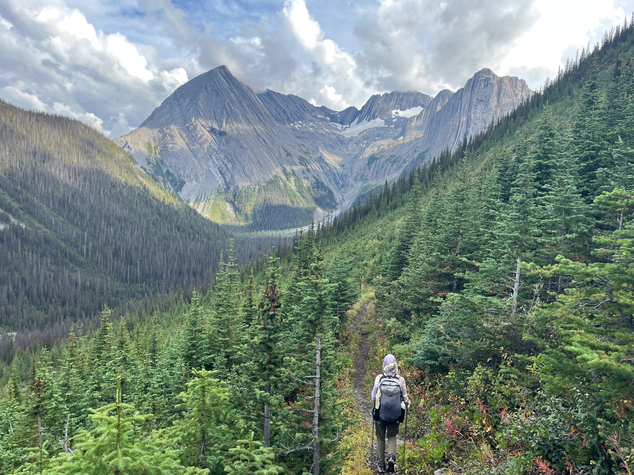
We made our way up to North Kananaskis Pass, which felt harder with the elevation than expected. This was our last high point of the trip and we enjoyed a long break there, appreciating Maude Lake and the better weather. The hike from here to Turbine Campground was lovely. Excellent trail and great views. We took a break at the campground, and then continued on – dropping all the way back down to Upper Kananaskis Lake and camping at The Point.
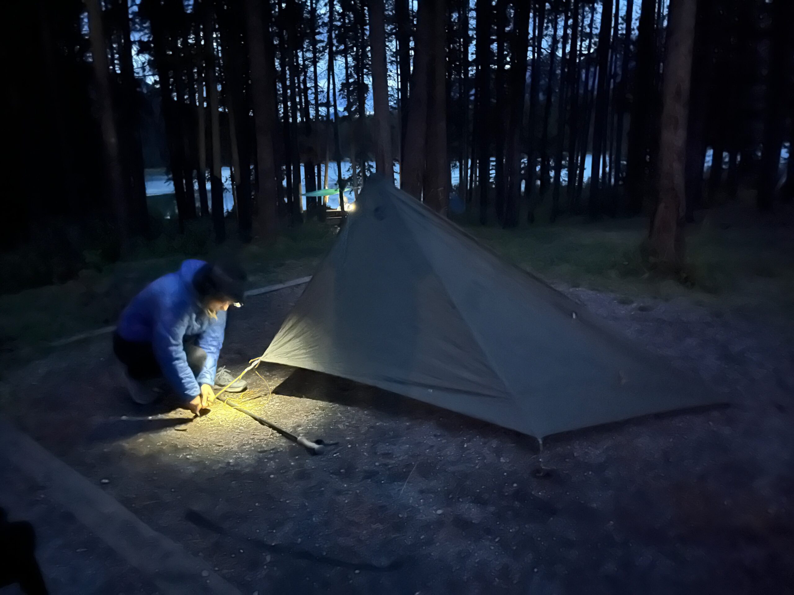
This campground turned out to be very large, with nice cooking and separate fire pit areas. We marveled at setting up a dry shelter and having dry feet… and then as we went to bed it started raining again.
Day 4 – Hike Out
Sep 7, 2026 09/07/2026
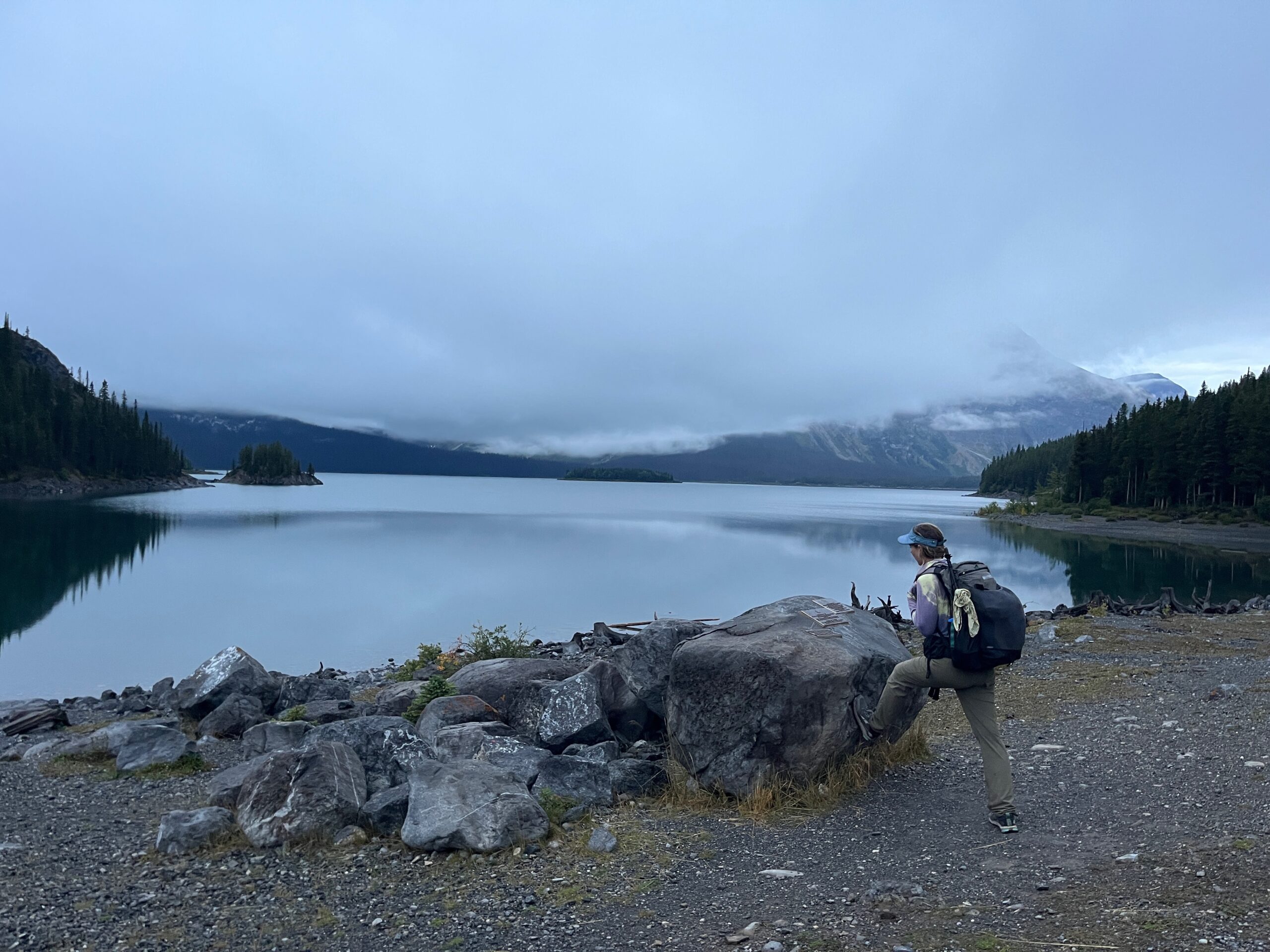
We woke up in the dark, anticipating a short hike but a long drive that day. It was raining, but we were able to eat breakfast under a tree to stay dry. The hike out was uneventful. Nice trail, views of the lake, and wet feet. We had time to stay one more day in the area but decided to drive home since it was pouring rain. We stopped in Canmore for breakfast and snacks before heading home to Washington. We will definitely be back!