Robinson Mountain
Quick Links
Map
Trip Report
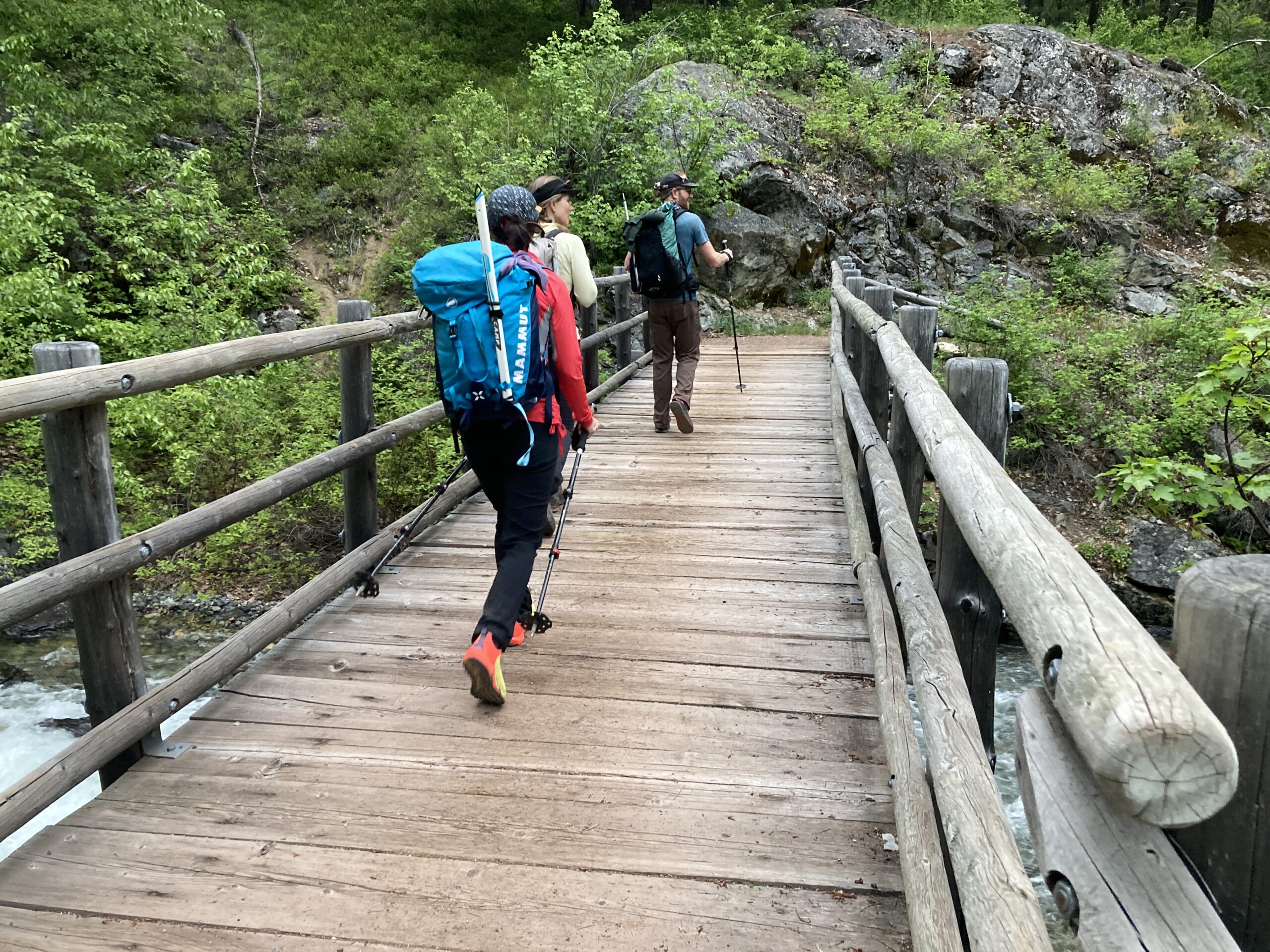
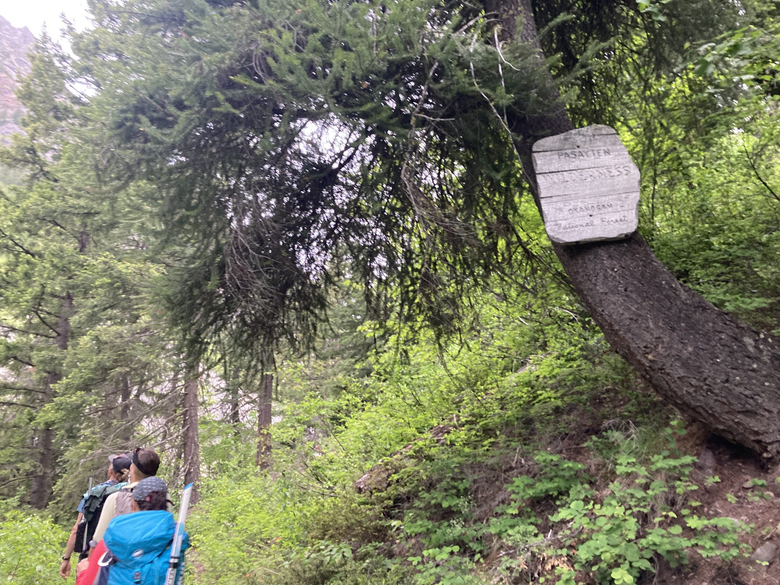
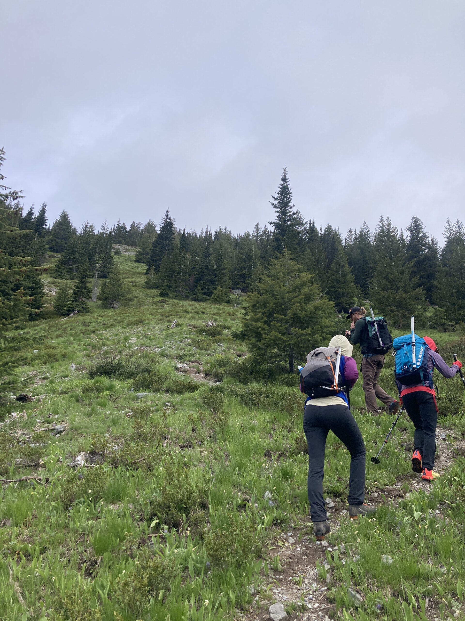
We met our friends at the Robinson Creek trailhead at 5am. At the junction with Beauty Creek we went north on trail, ascending on the north side of the creek. The trail is was fairly easy to follow. We went left at the junction around 5,300 ft. to continue ascending on trail to a small tarn below Robinson. It was all snow covered at this time of year.
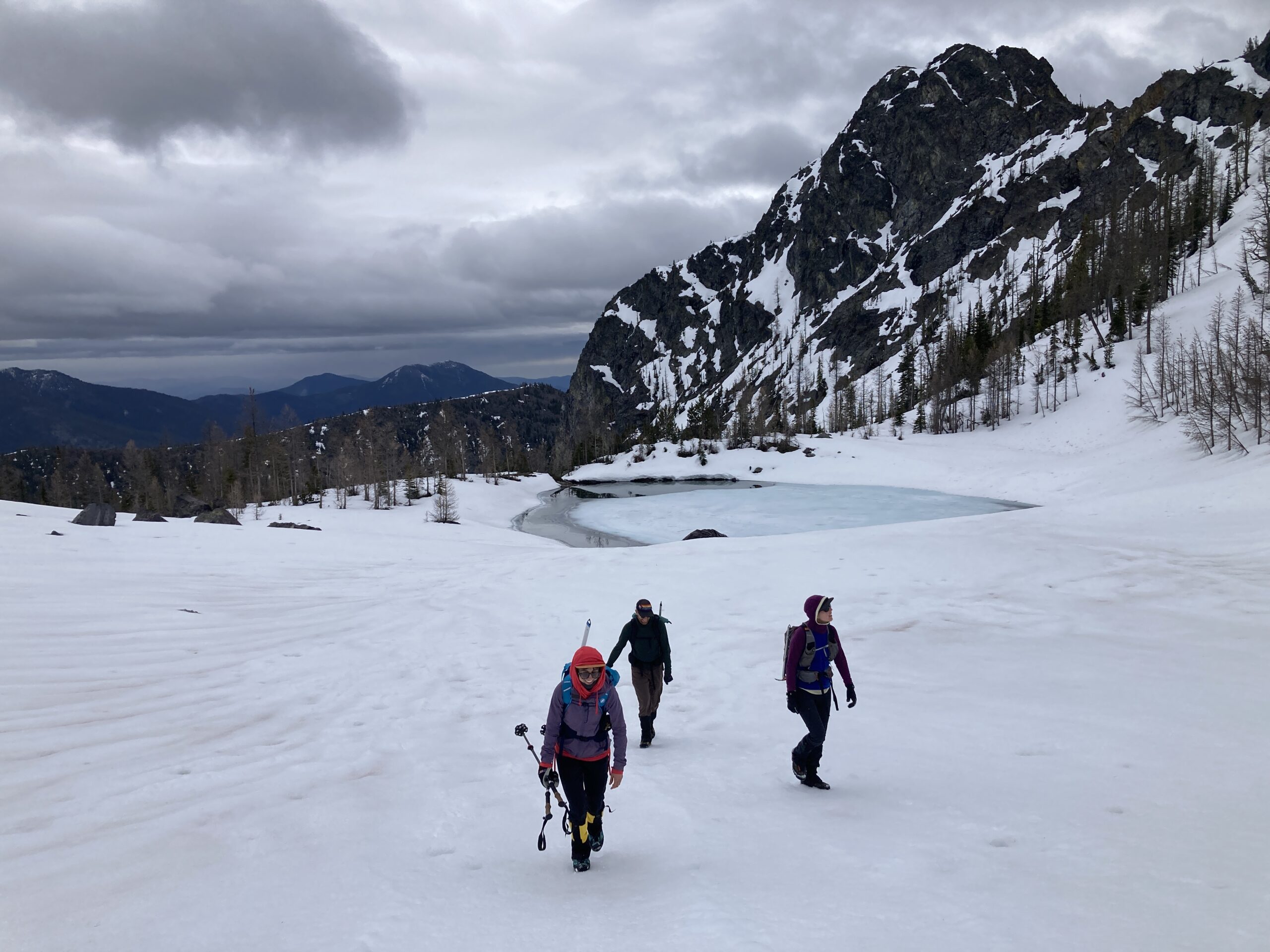
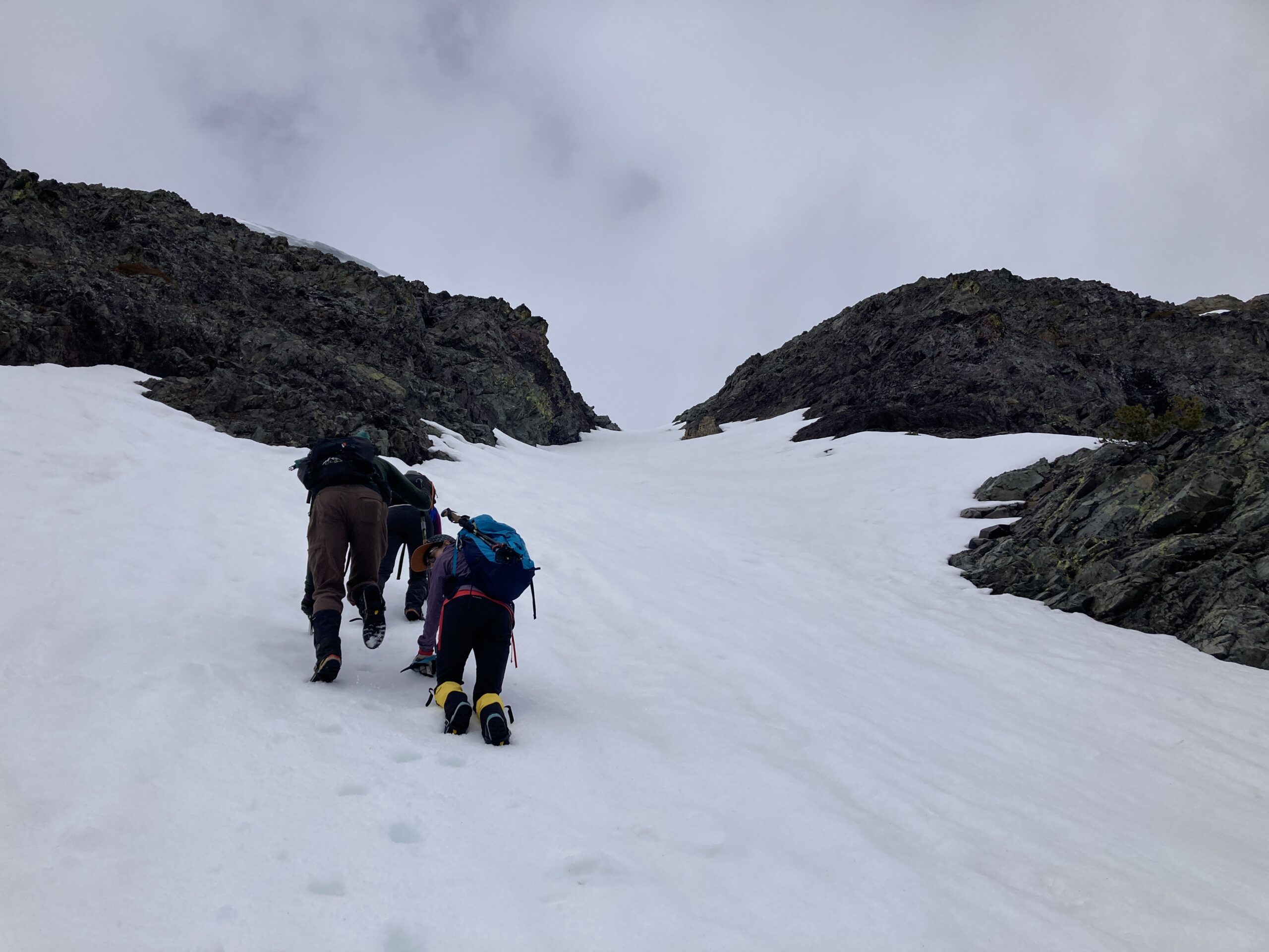
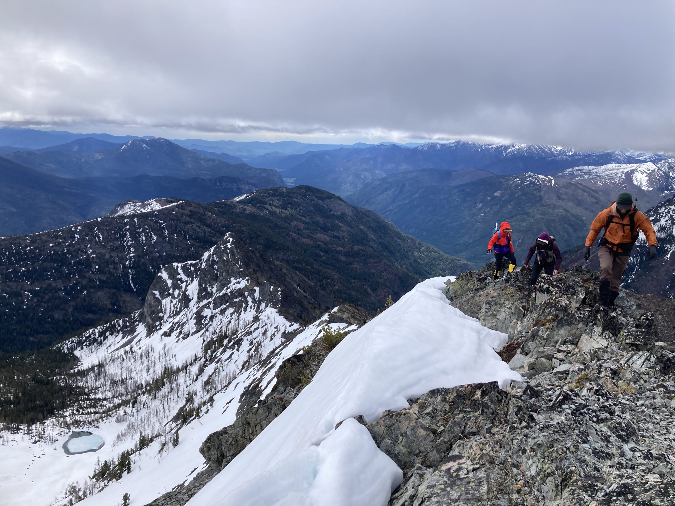
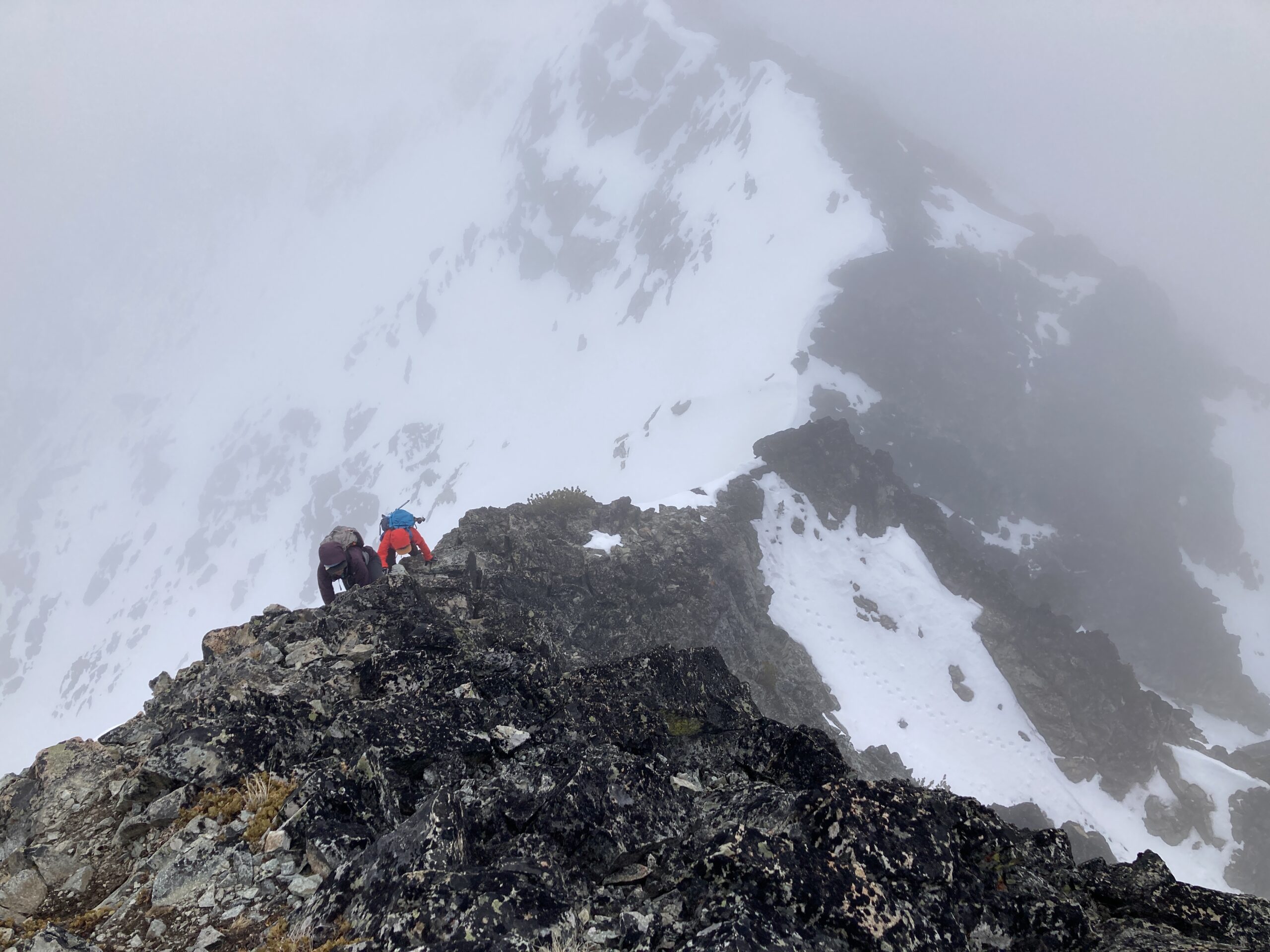
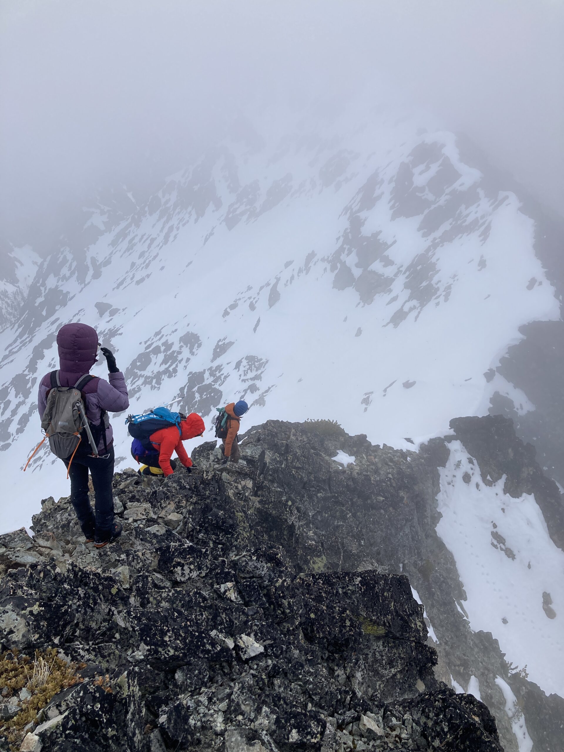
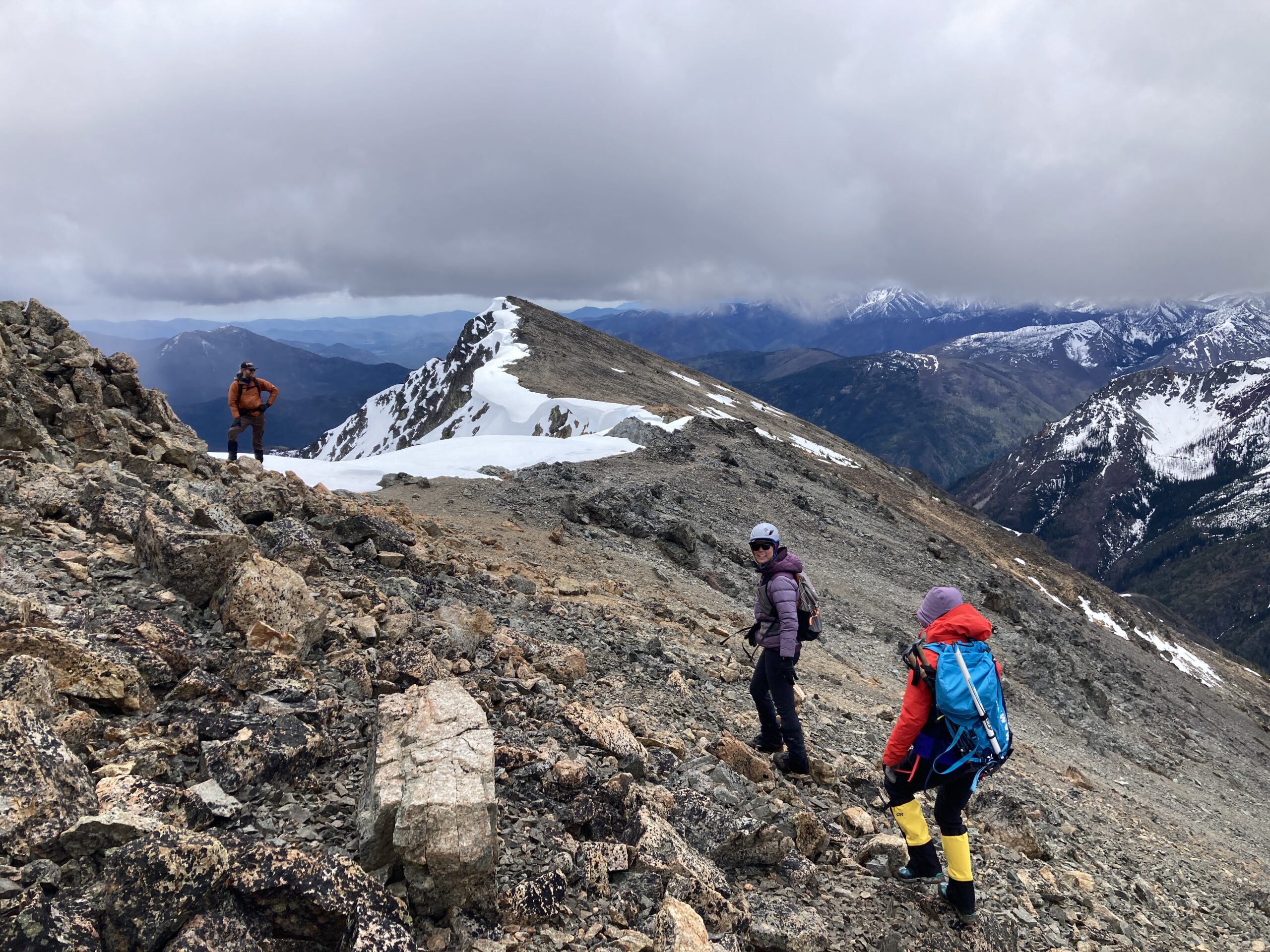
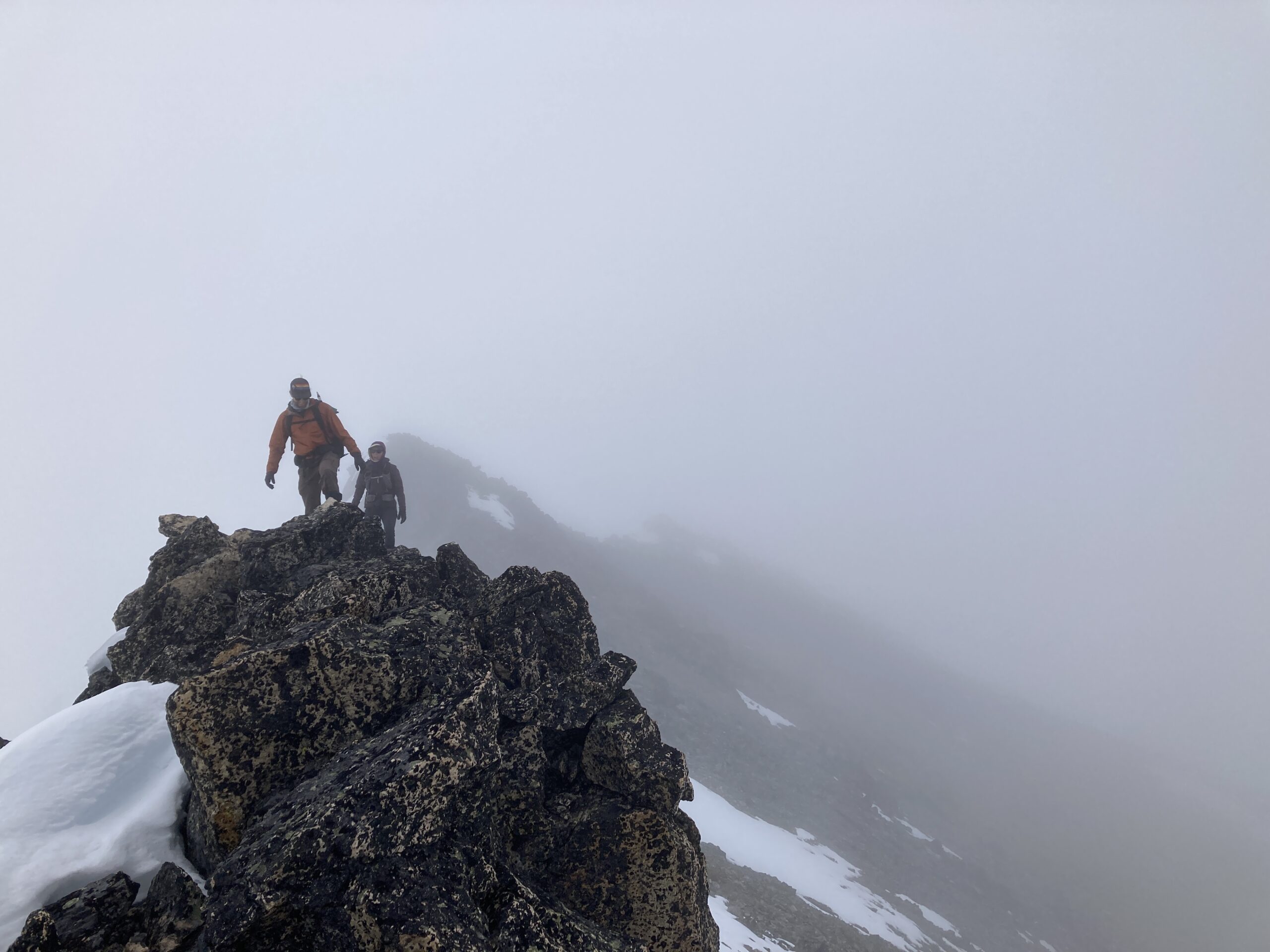
From the tarn we began kicking steps up to the west side of the bowl above the tarn to the ridge. We gained this ridge at about 7,600 ft. From there we walked along the ridge following it north all the way past several false summits to reach Robinson. Very low visibility day. To avoid the steepest and loosest parts of the ridge we occasionally scrambled down (staying south of the ridge proper) and back up to meet the crest.
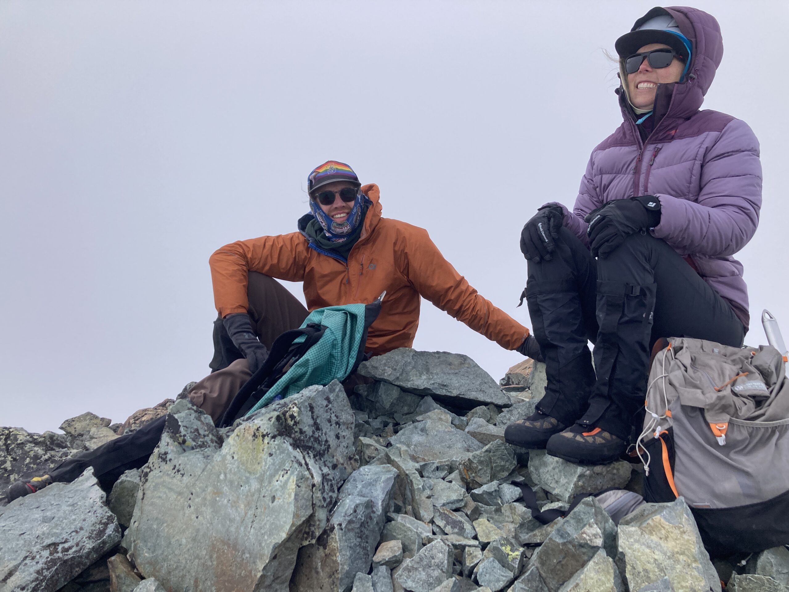
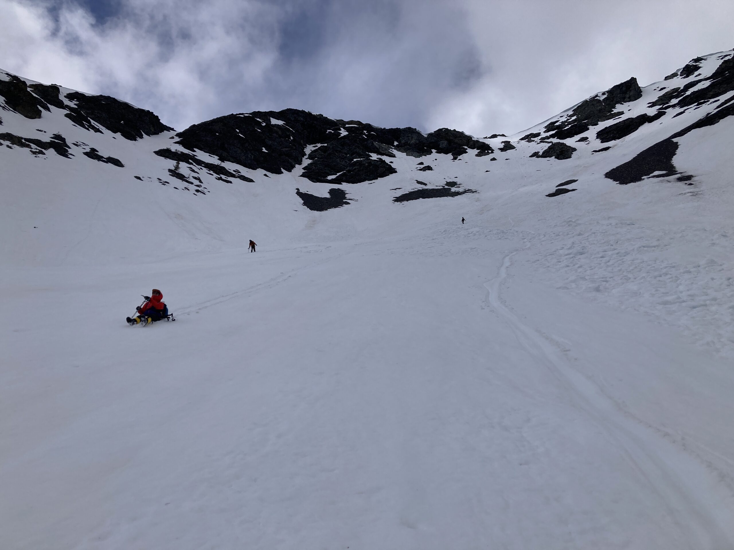
After a short cloudy break at the summit we retraced our steps. Enjoying better views on the way back as the sky cleared! Travel back down the snow bowl was smooth and we saw one other party hiking up to the tarn on our way back down.
A fun day out with friends! 13.34 miles. 11 hours 30 minutes. 6,005 ft of gain.
Photo Gallery