Cougar Traverse
242Miles
13Days
Jul 30, 2020
↓
Aug 11, 2020
↓
Aug 11, 2020
Loop
Quick Links
Map
Trail Overview
The Cougar Traverse doesn’t seem like an official route or thru hike of any type. Regardless, it is still similar in length to the John Muir Trail, Sierra High Route, and other trails/routes that are more established. We came across the Cougar Traverse on the Fastest Known Time website because Cristof Tuescher set an FKT on it in 2019. It seems like the route was created, or possibly just recently linked together, by Mike Woodmansee in his guidebook Trekking Washington.
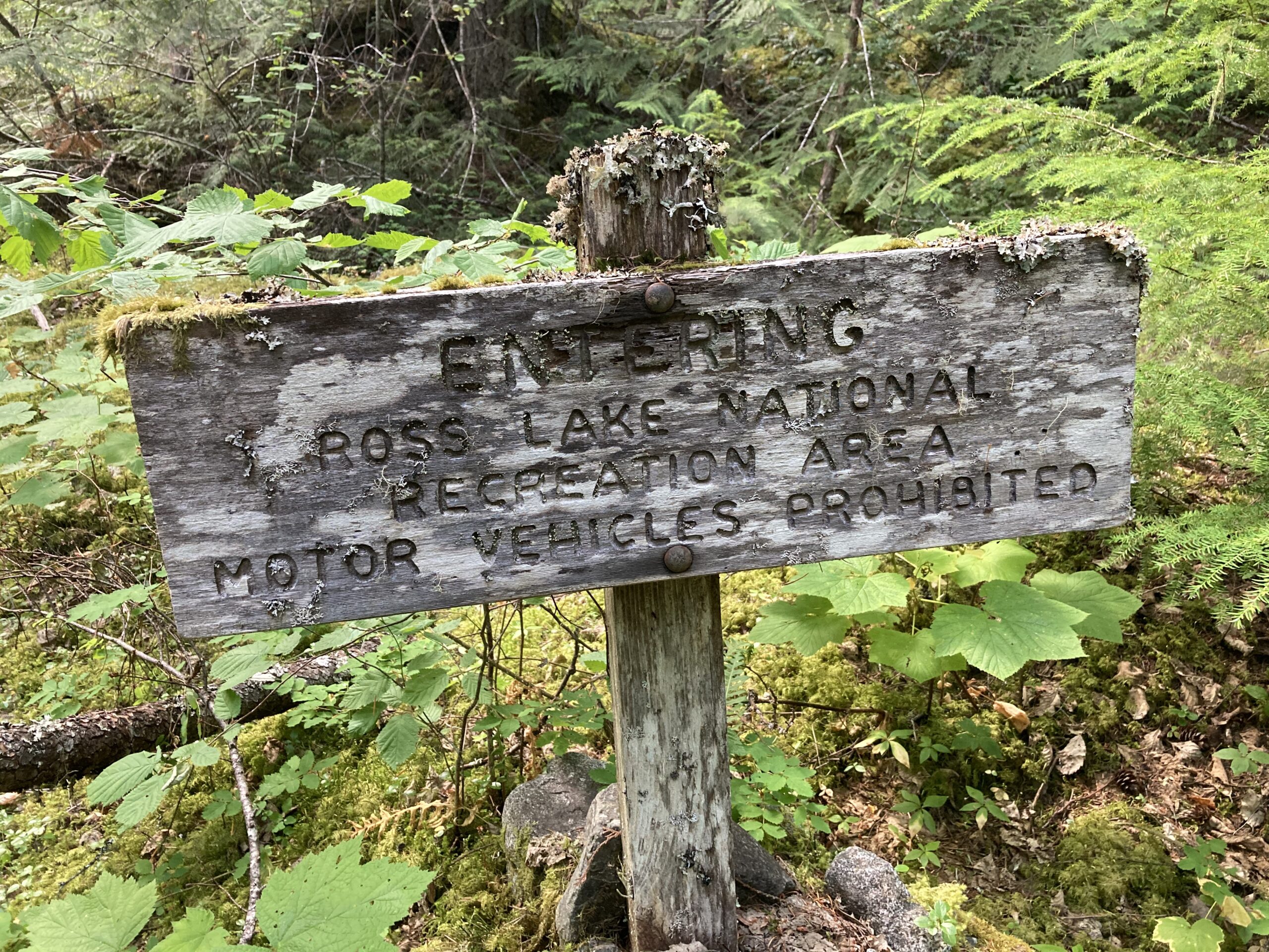
The Cougar Traverse is a loop that’s 242 miles in length. It never steps across any roads, and traverses some rugged parts of the Pasayten Wilderness in Washington State. We have heard claims that this is the “longest uninterrupted wilderness route in the Lower 48.”
To add to the above information, the route is very remote. During some sections you will see many people and others you may be alone for a few days at a time. Resupplying is also a big challenge. There is no easy way to cache food (or purchase it) along the way without adding significant additional miles. This makes for long carries of food and a need for confidence in you (or your group’s) ability to make the intended goals that you set.
We are not sure how often people embark upon hiking the whole Cougar Traverse in one go. The route does connect many other popular hikes in the area, and doing sections of the Cougar Traverse over time seems like another great way to experience this exceptional route.
Experience
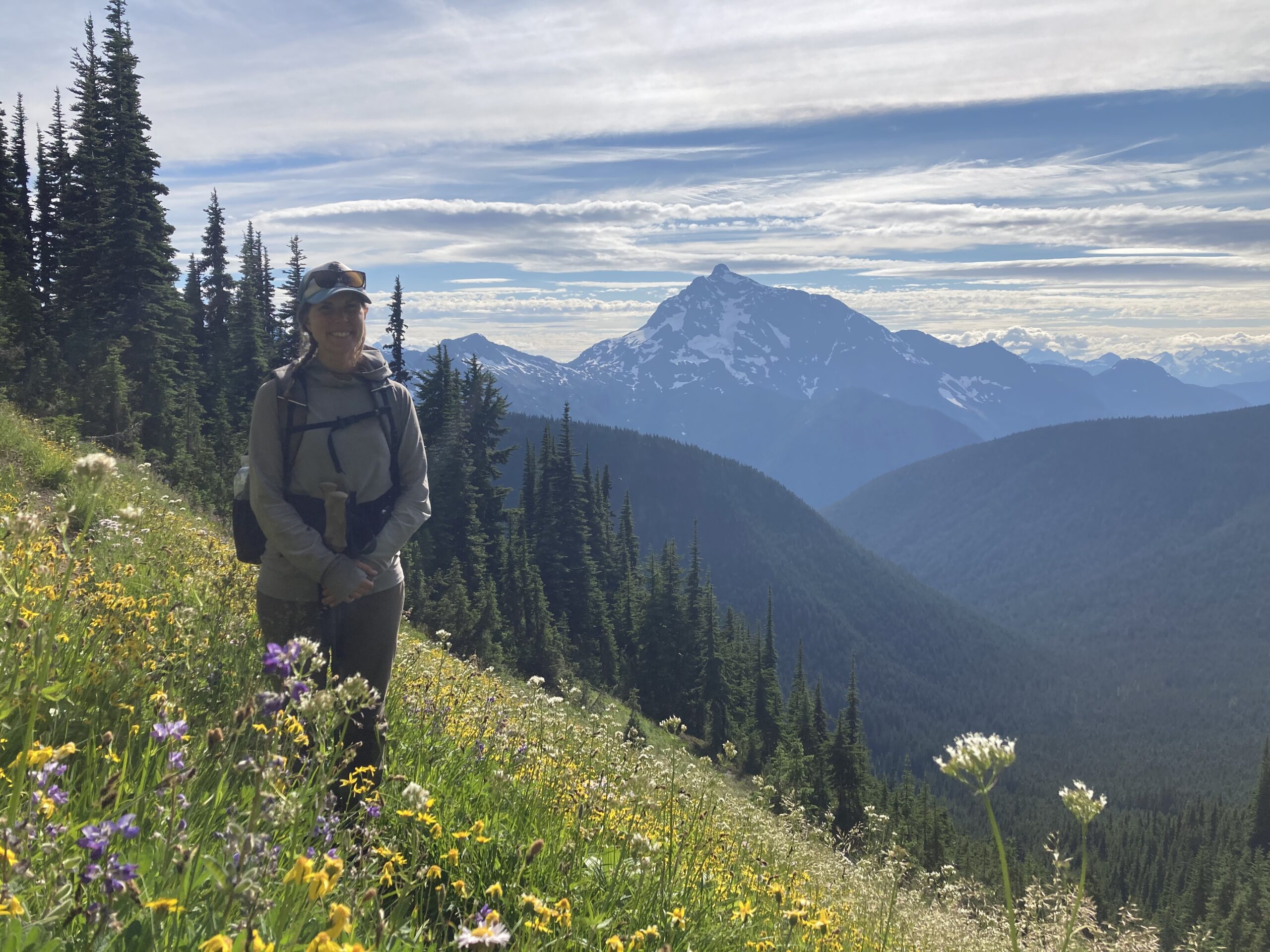
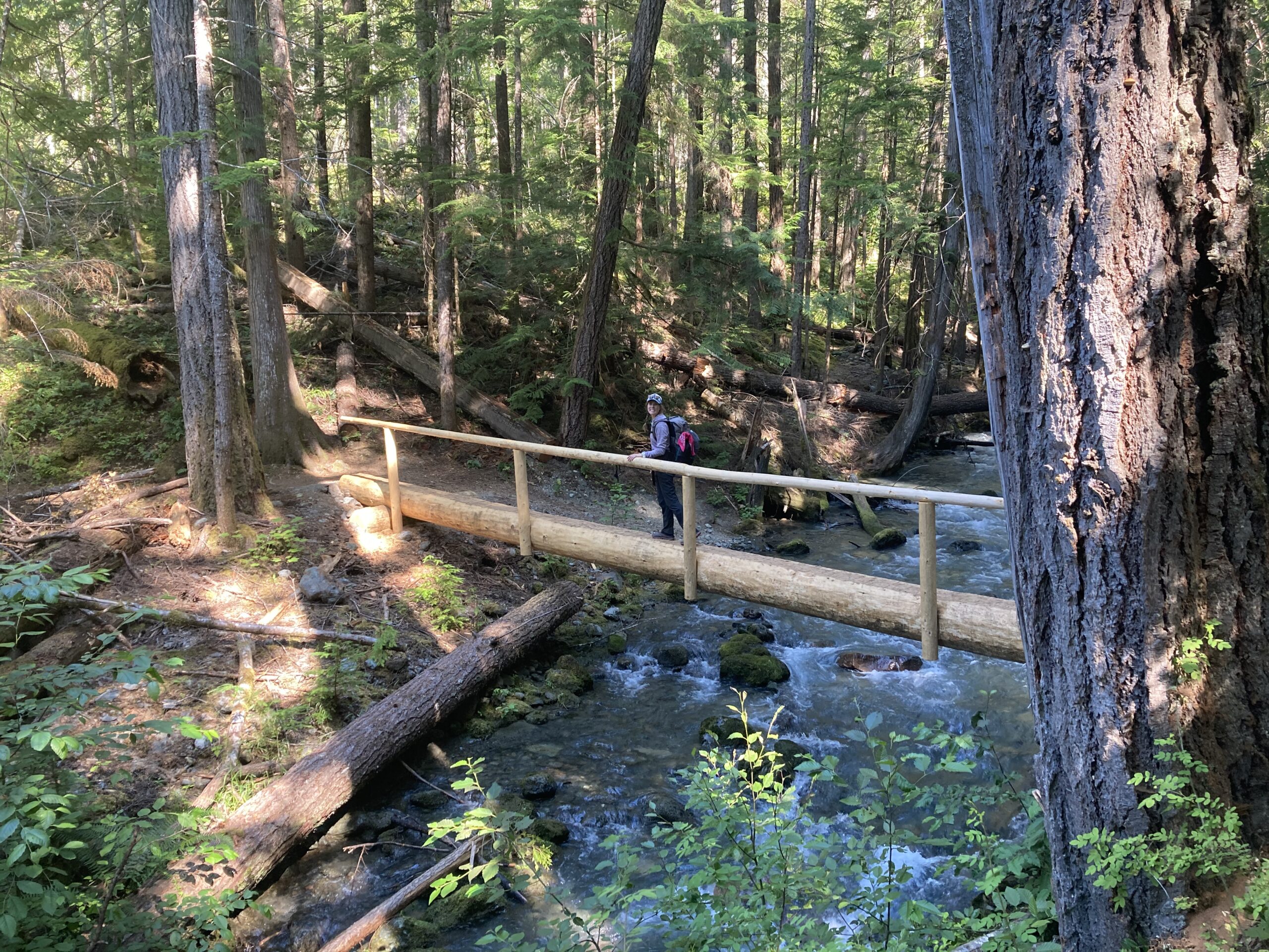
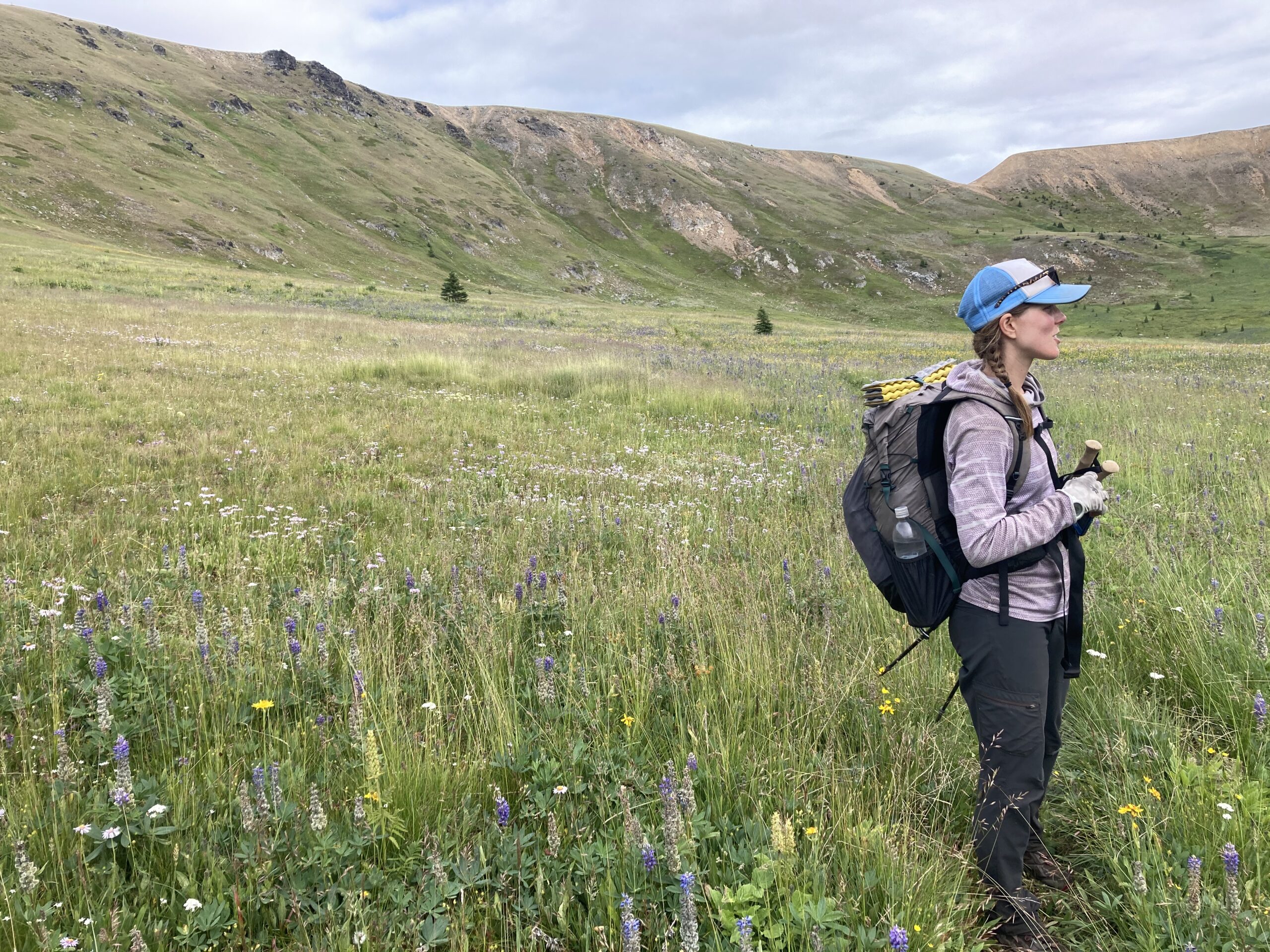
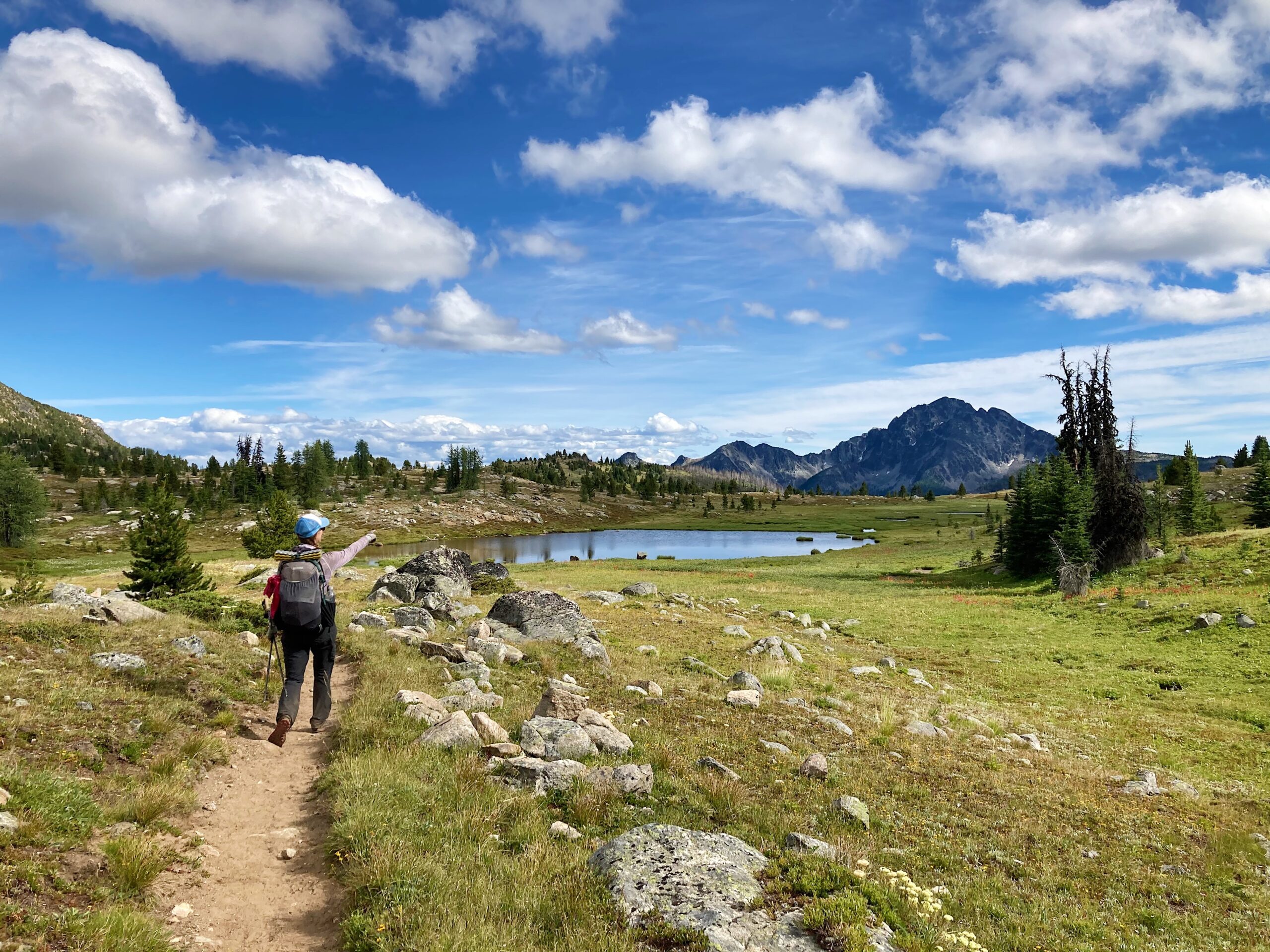
When we did the Cougar Traverse we were living in Winthrop, Washington at the time. Winthrop is a town located on the Eastern Side of Washington Pass in Northern Washington. We landed there because Jeff has family in the area and it was possible for us to “shelter in place” during the coronavirus pandemic. While we were living there we spent some days and a few shorter overnights in the Pasayten Wilderness in late spring and early summer climbing peaks on the Washington Bulger 100 list (there is a big concentration of these peaks close to Winthrop and the Methow Valley). Spending time in the Pasayten had piqued our interest in doing a longer trip, and it seemed like the Cougar Traverse was the right fit. It had all the parts of a long hike/trail we love — big mountains, some tricky navigation, challenging terrain, as well as some great trail with opportunities to see places less often traveled.
Our Day to Day Breakdown
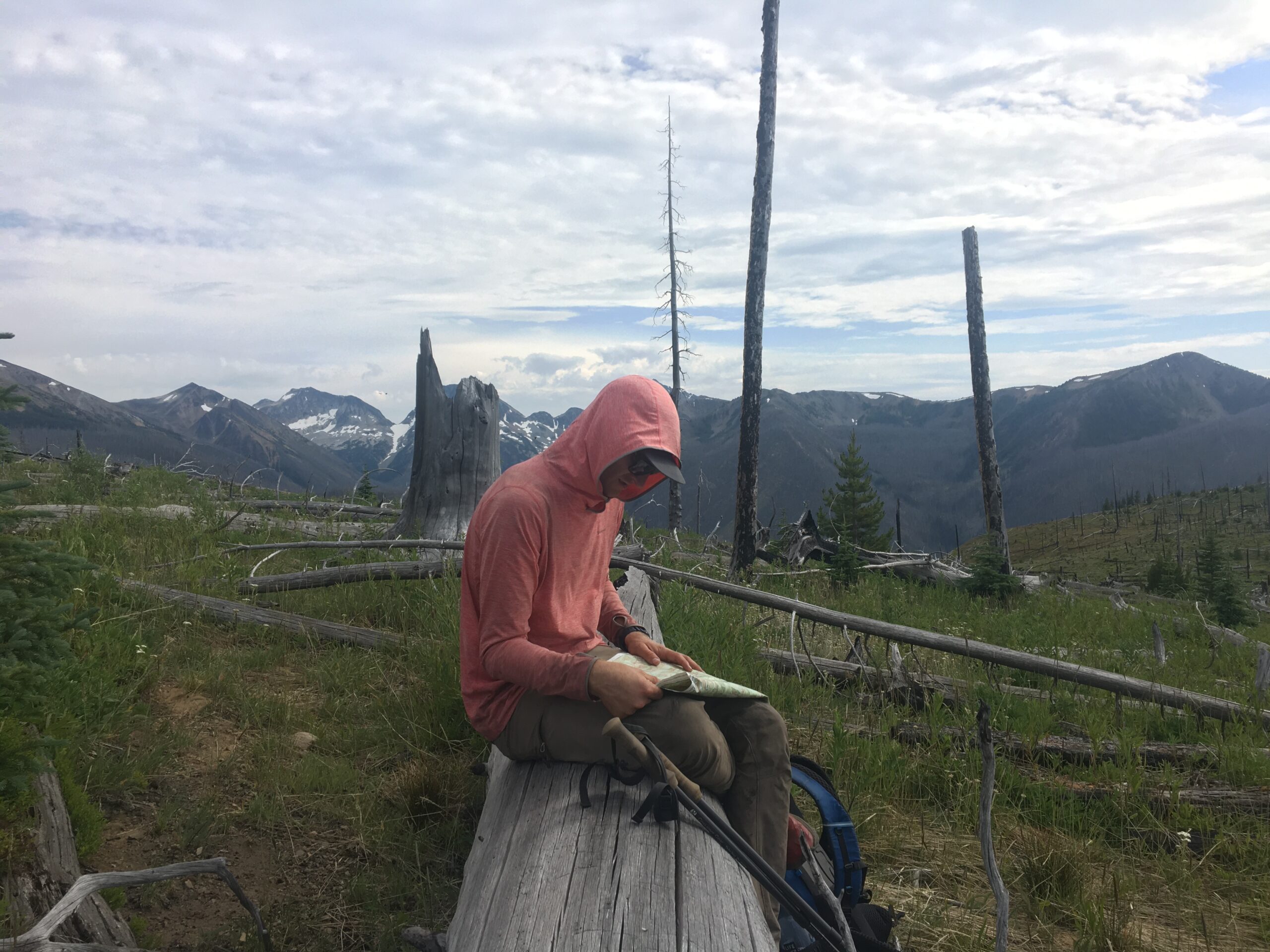
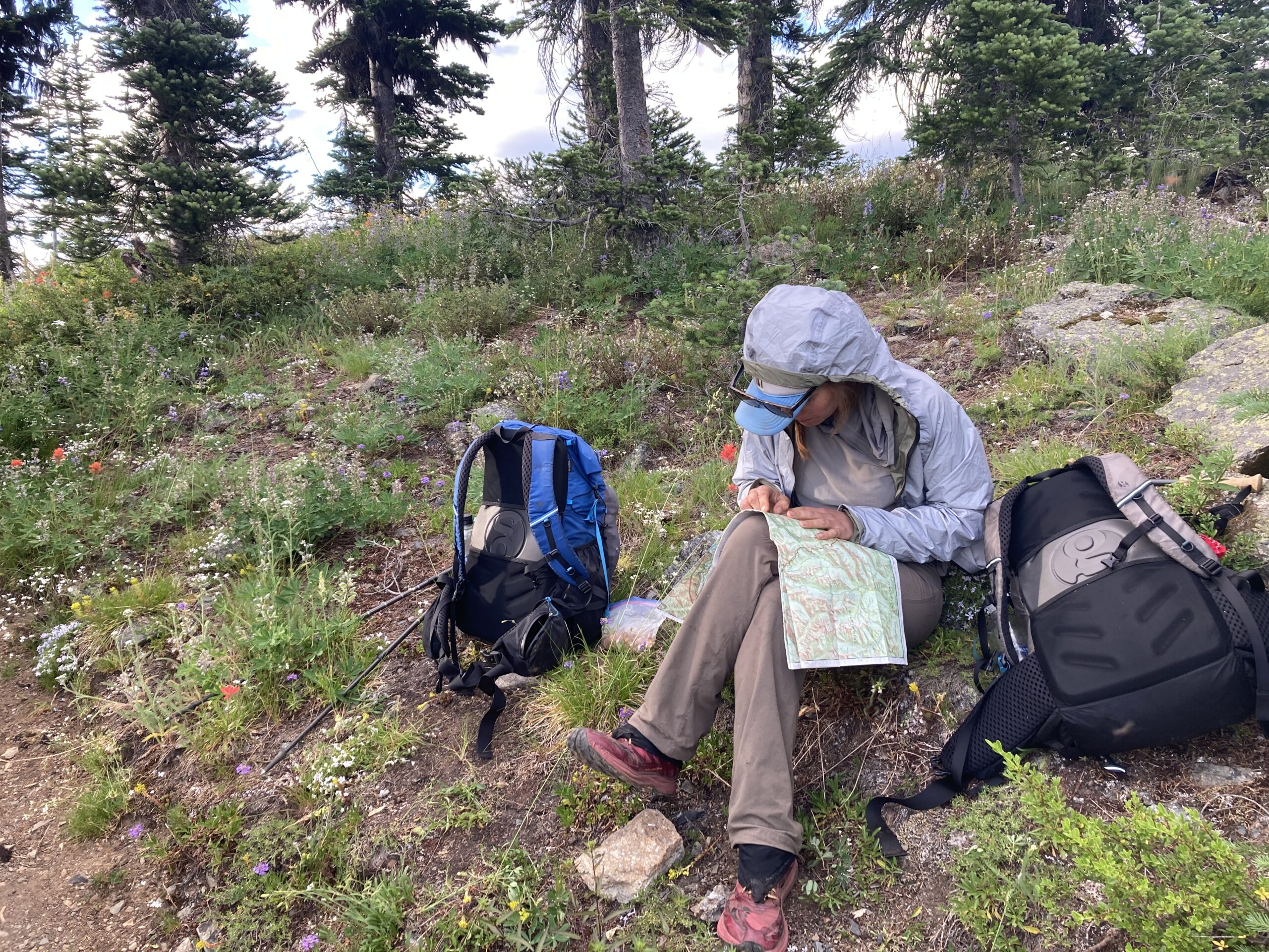
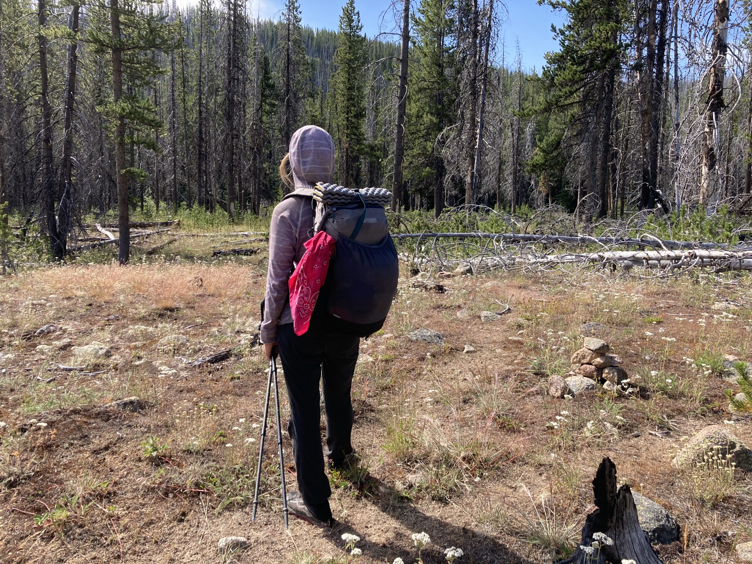
We completed the traverse in 13 days, from July 30 to August 11. We did one resupply on Day 5 from our car — parked at the Granite Creek Trailhead. We decided on this resupply to minimize pack weight through the rougher southern section of the route, and to give our bodies time to get back into hiking shape. We entered from the Andrews Creek Trailhead which added a few more miles of walking — 6 each way. We chose this trailhead because it we wanted to check it out, and also hoped to climb a few peaks on the Washington 100 Bulger List that the route conveniently walked right by. The plan, for us, felt ambitious but realistic. We also knew we could change it along the way if needed. In the end, we were able to complete our planned itinerary and it worked out well. Keep reading for the day to day breakdown of our journey.
Day 1
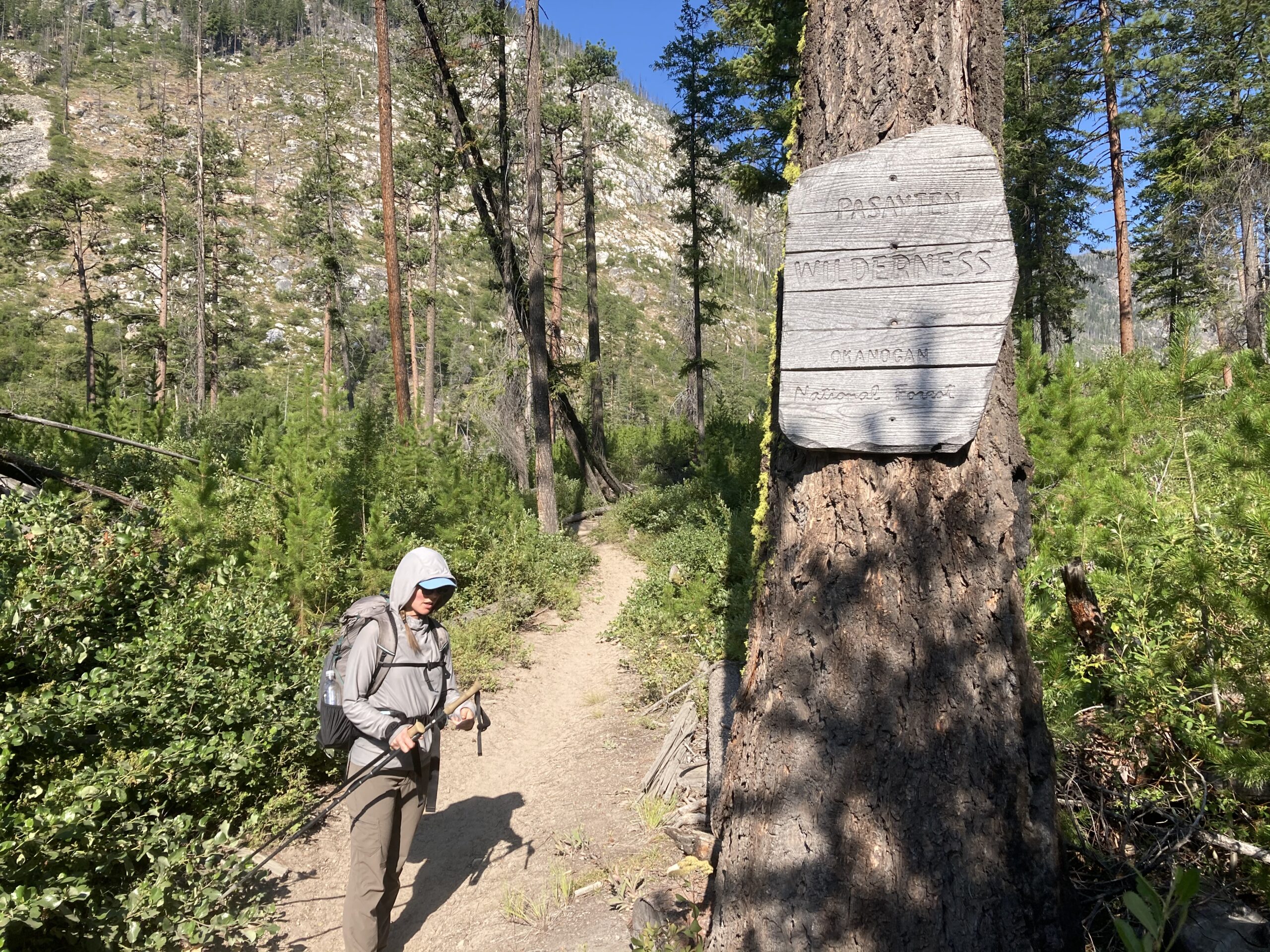
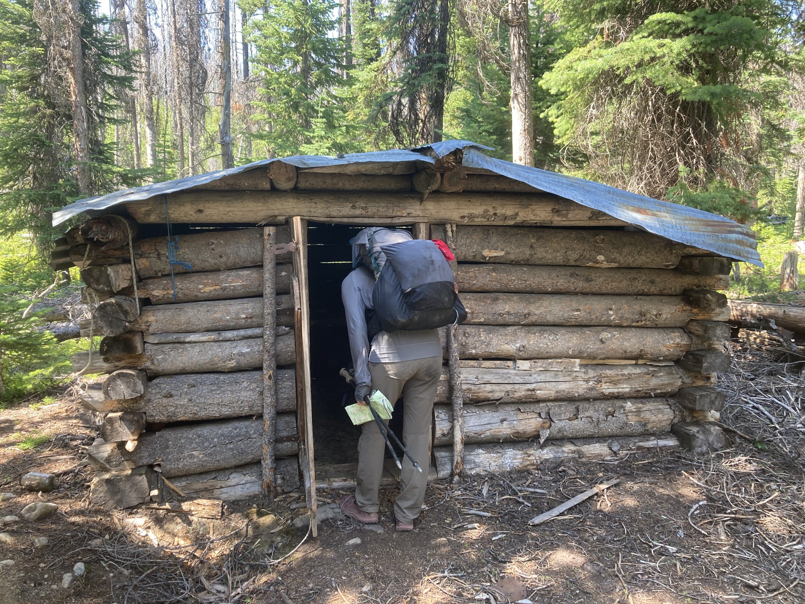
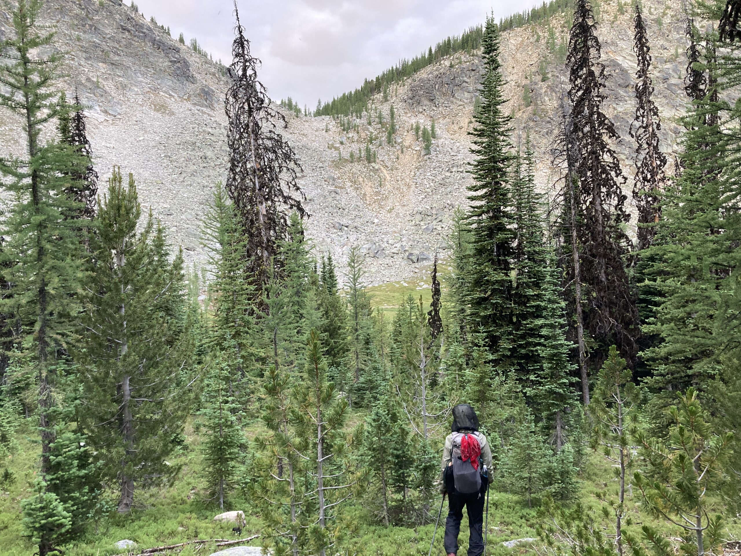
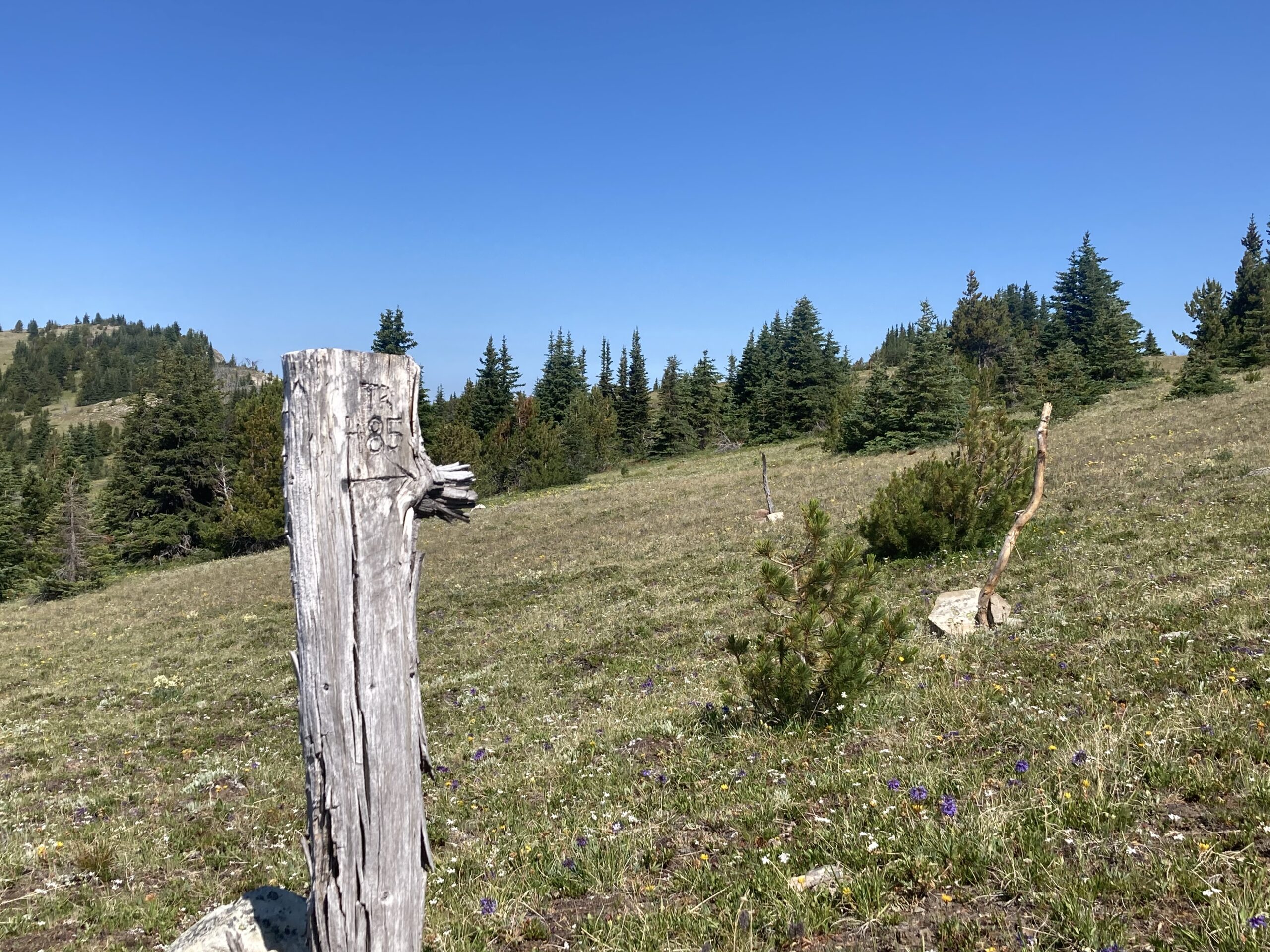
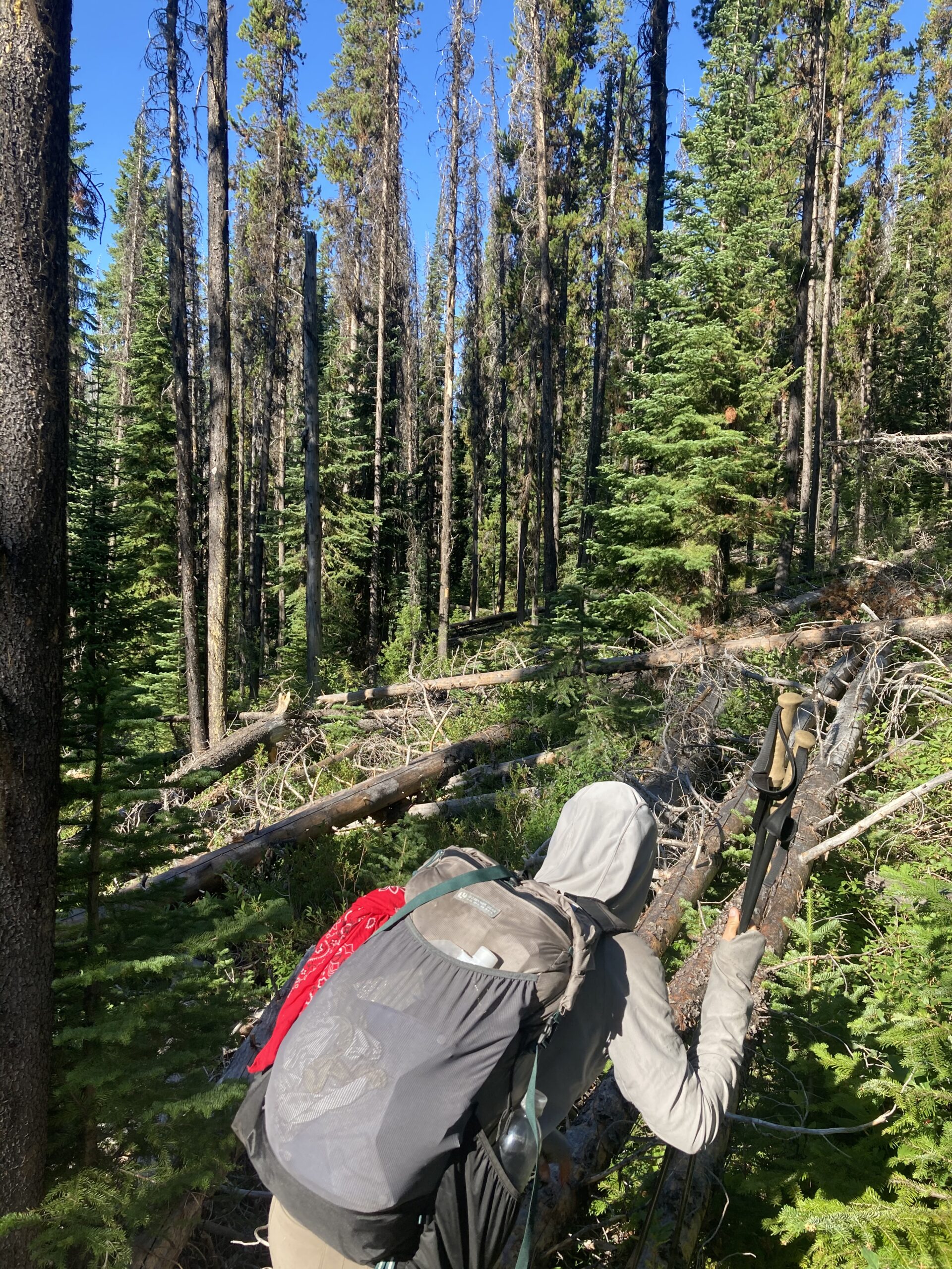
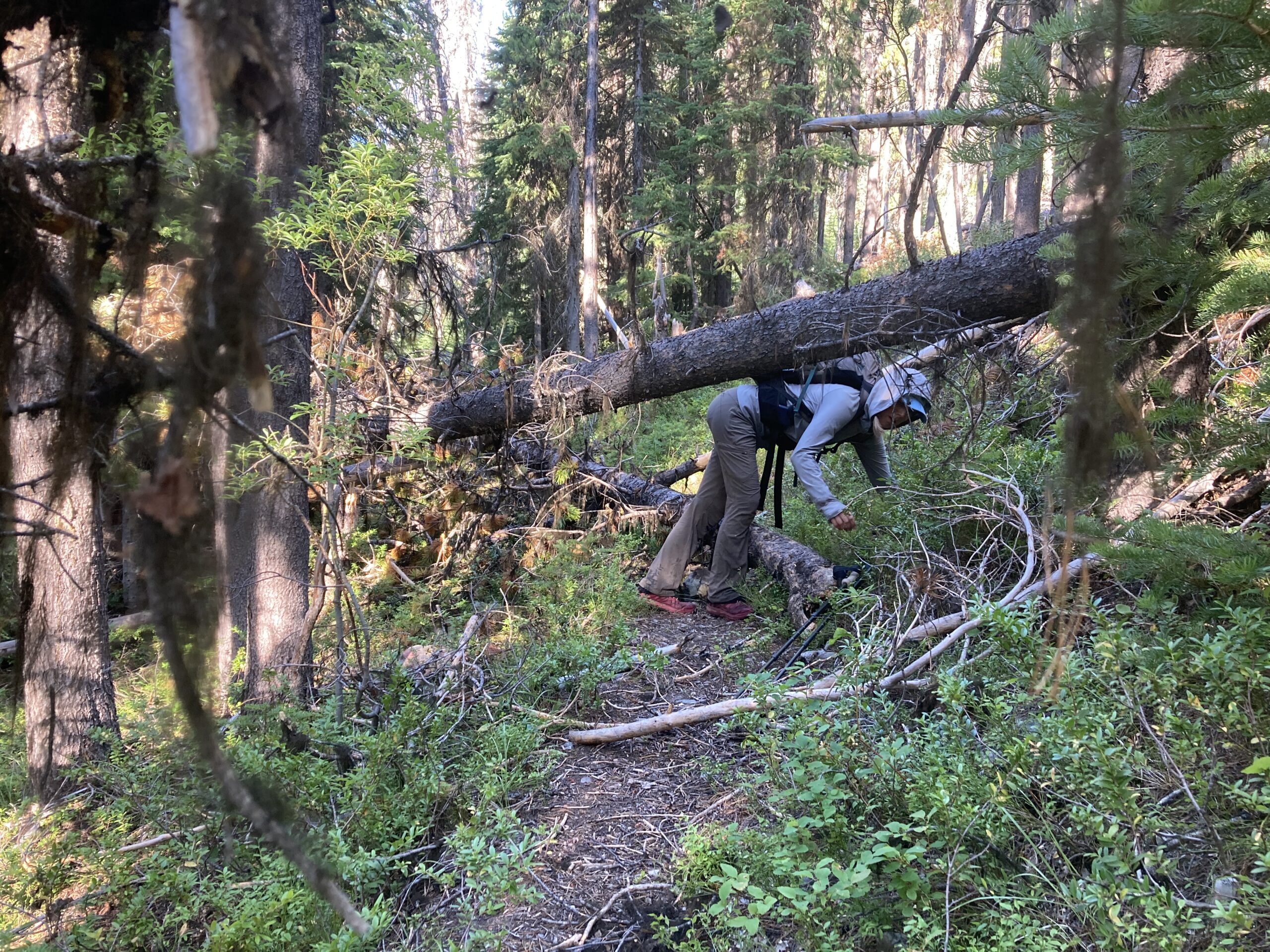
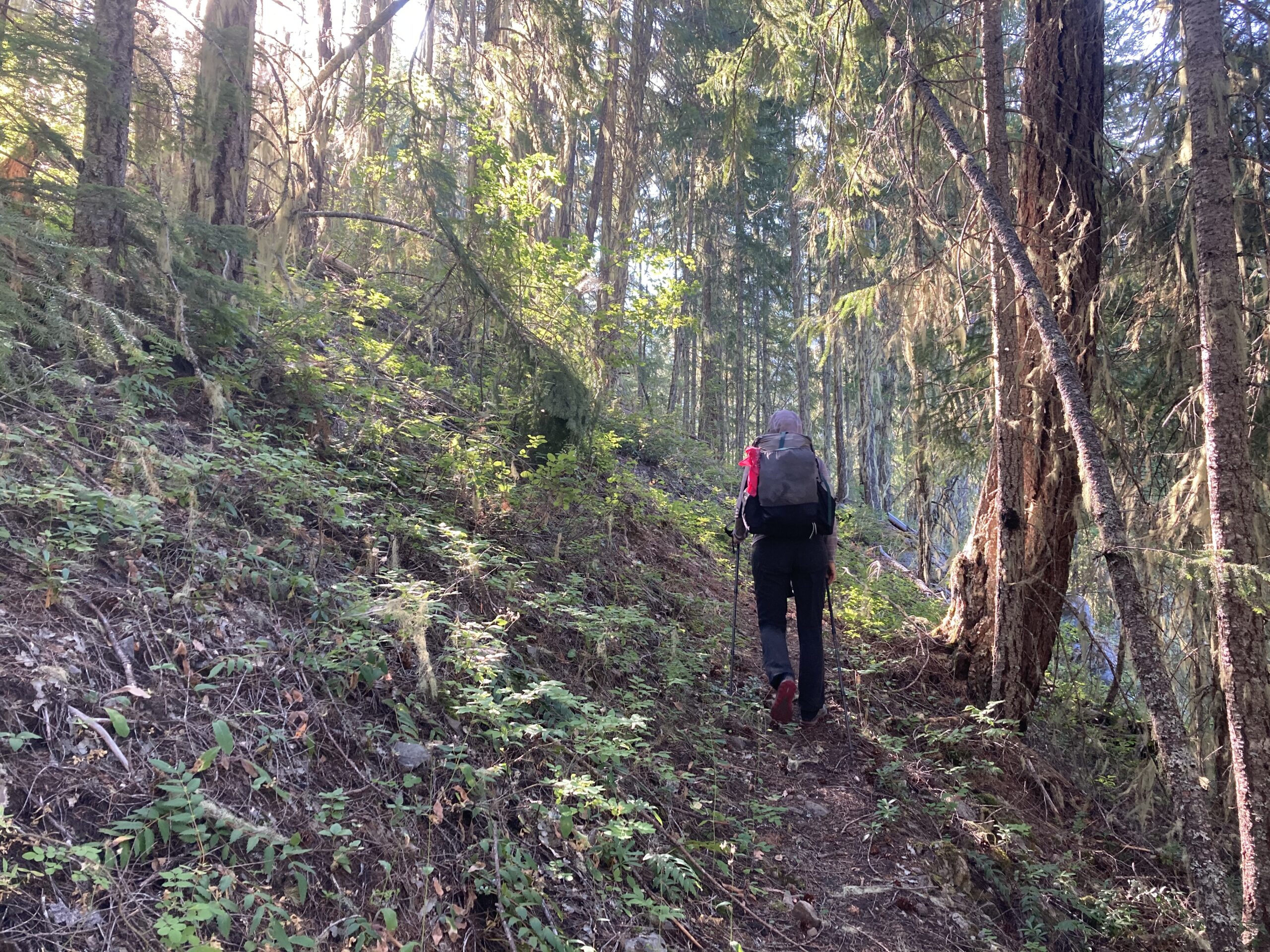
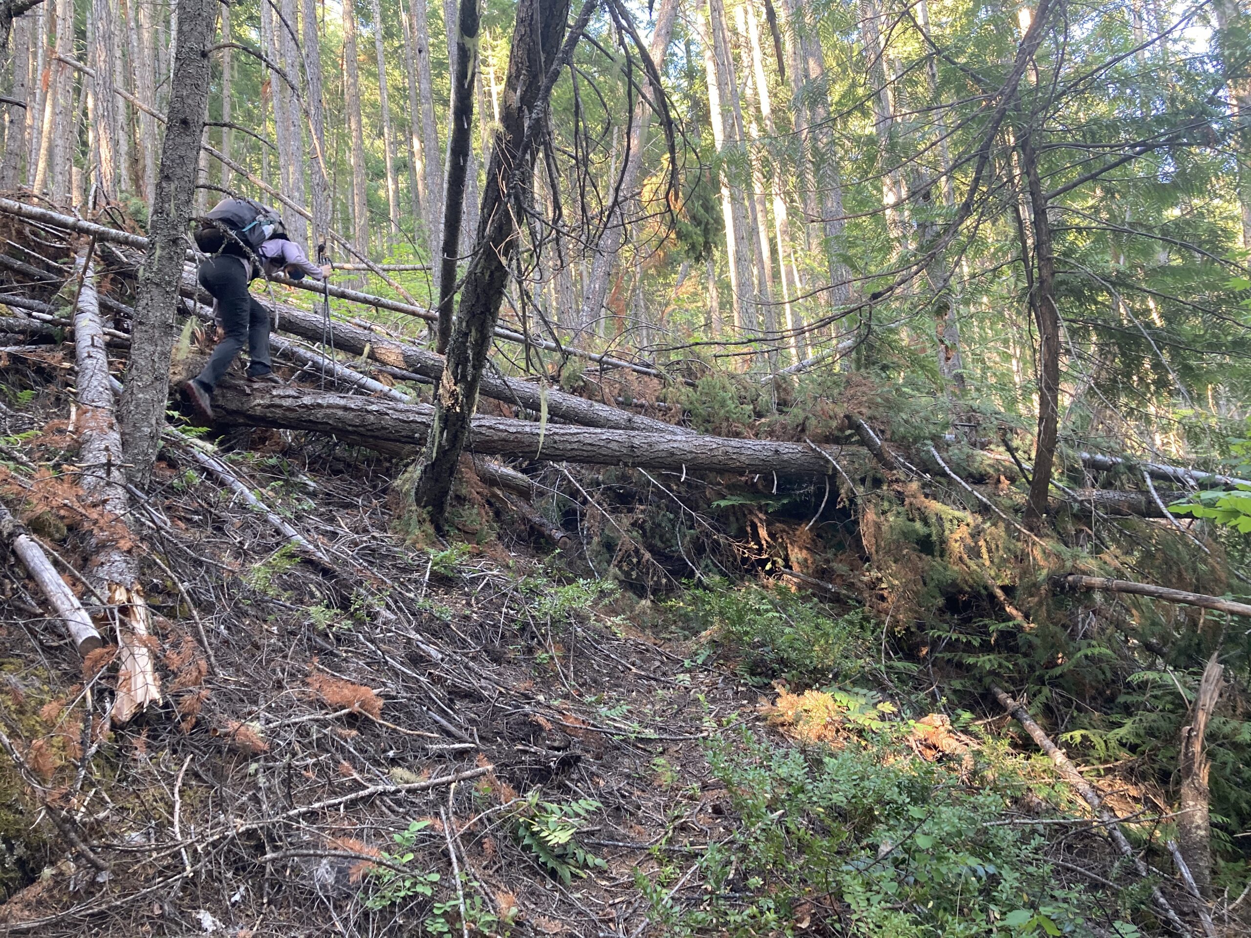
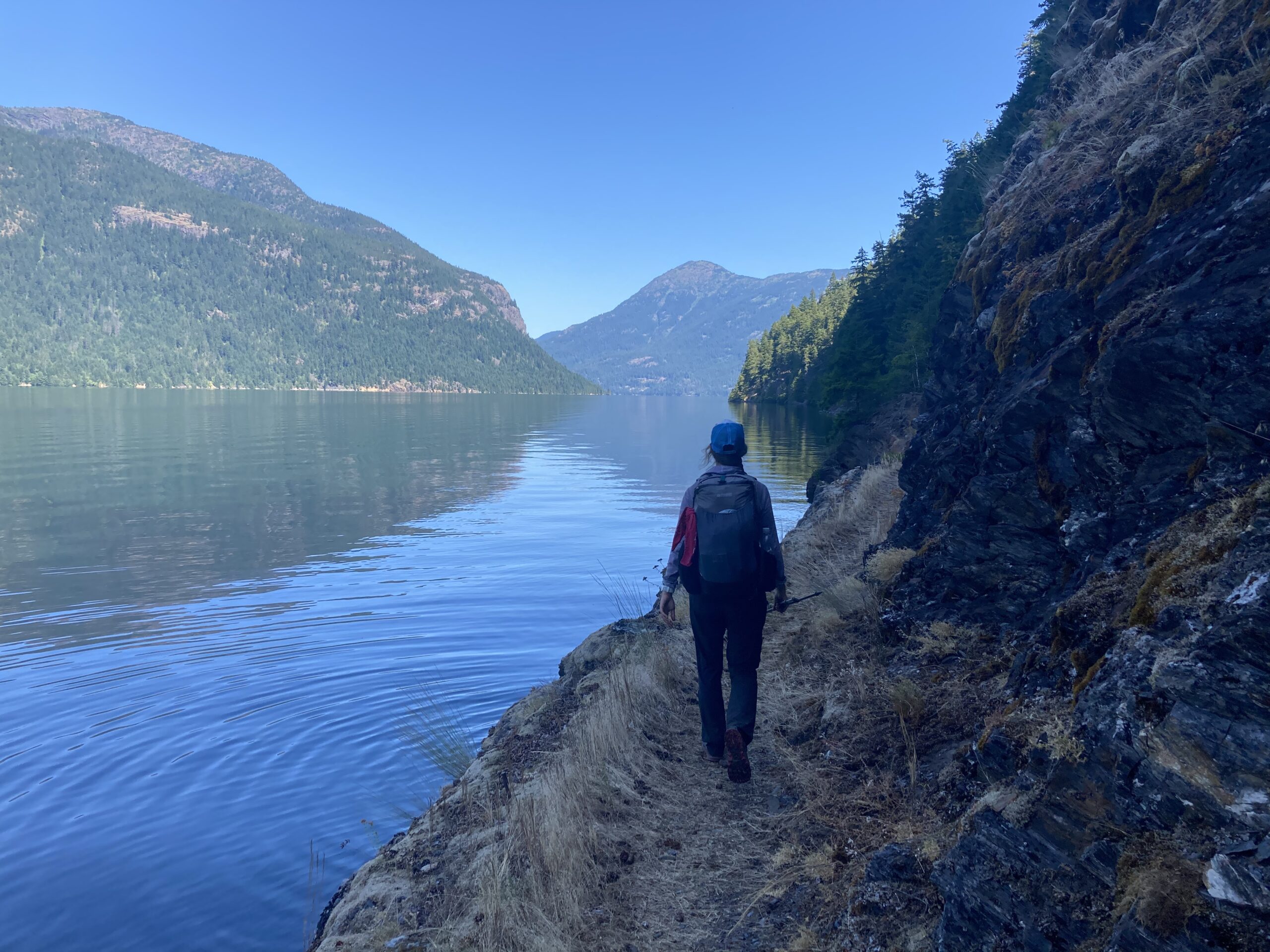
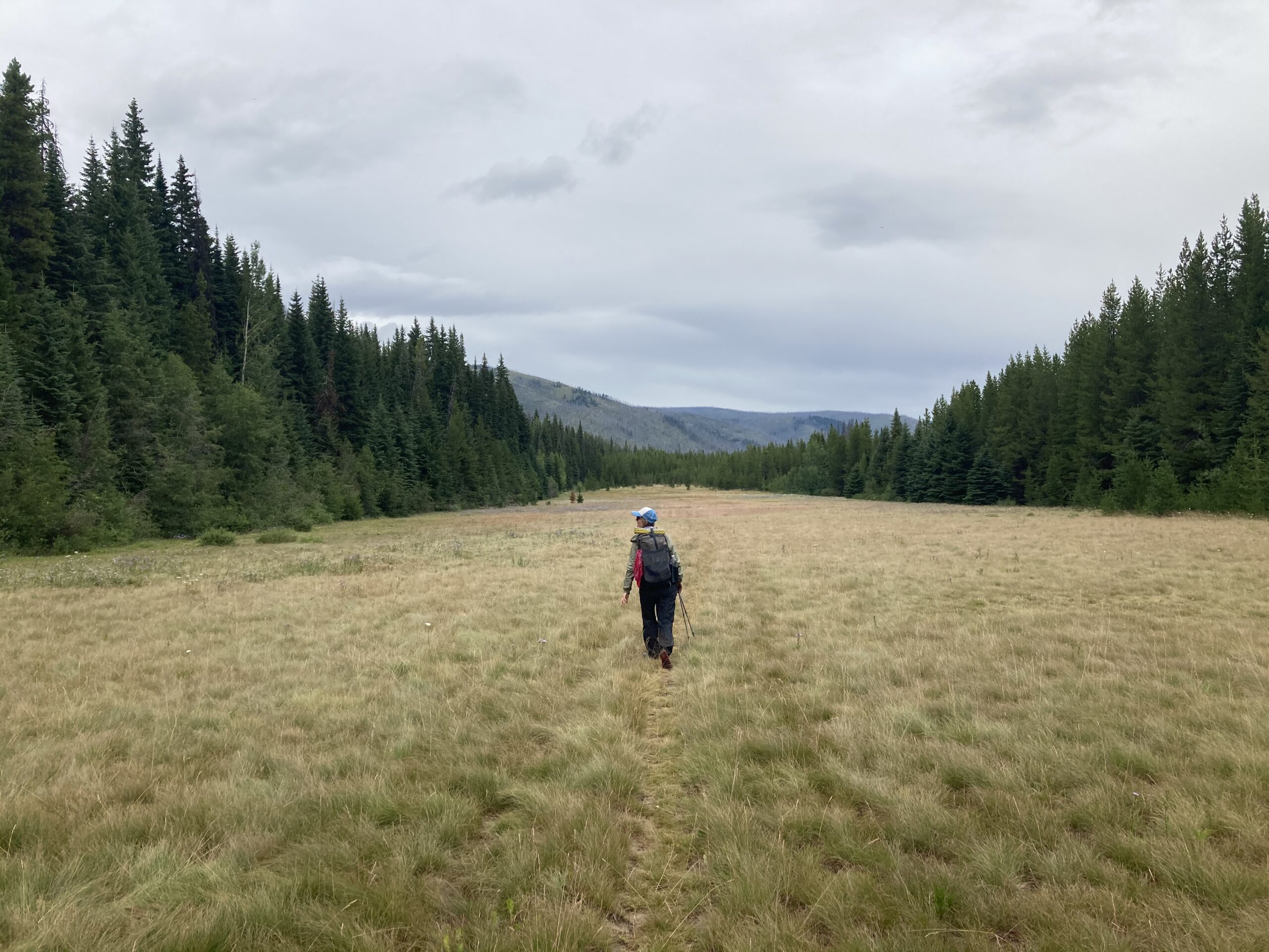
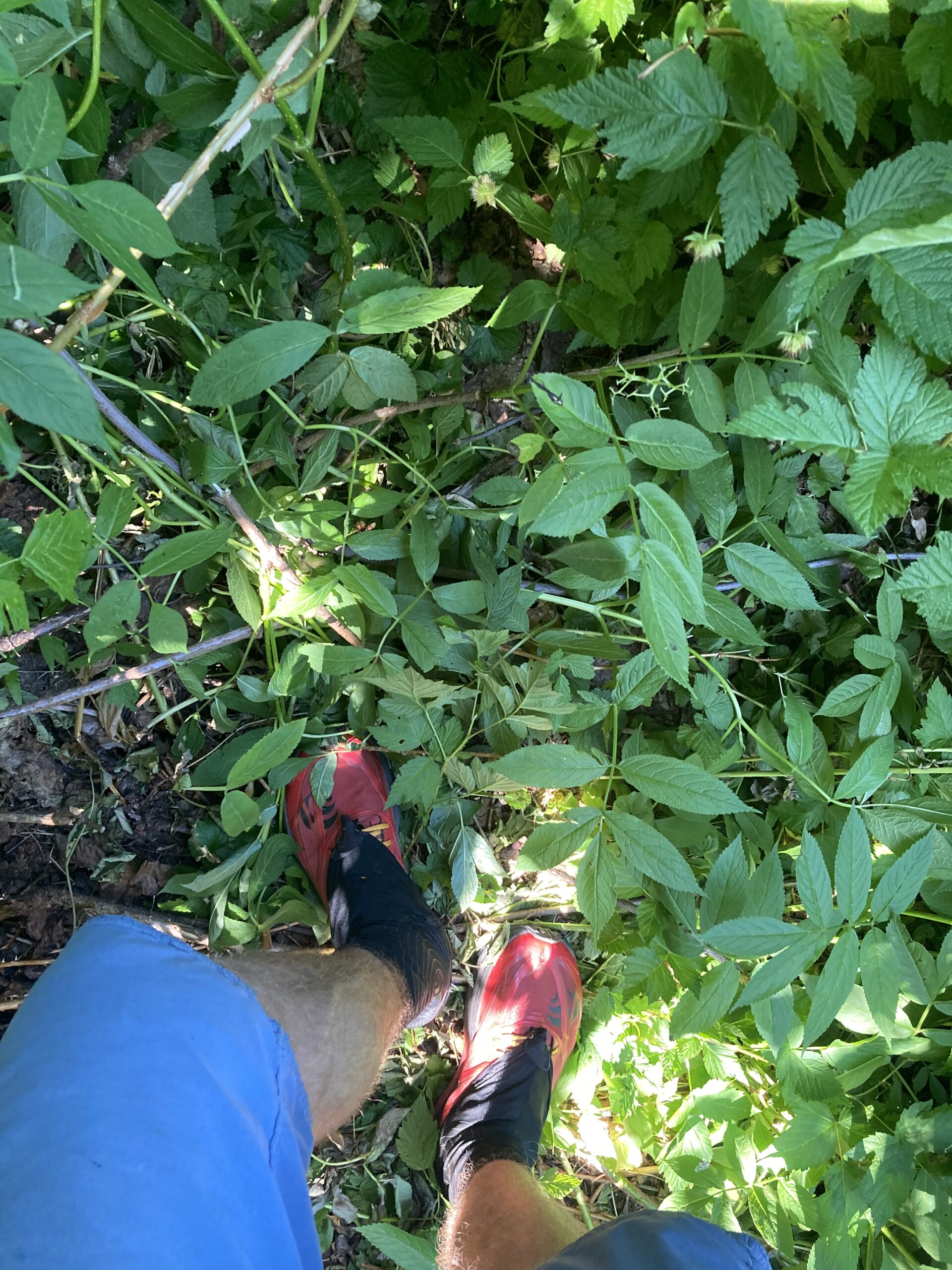
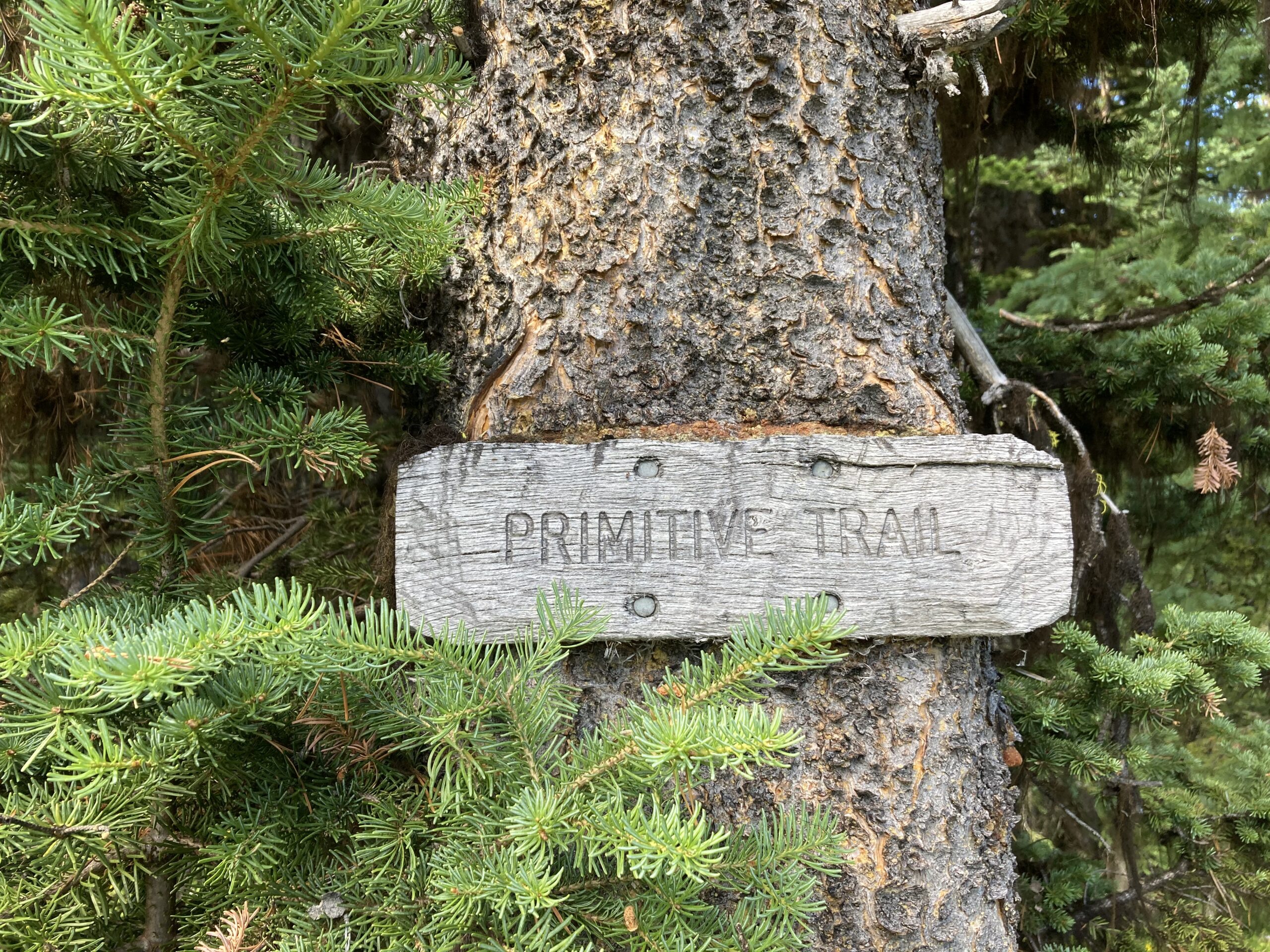
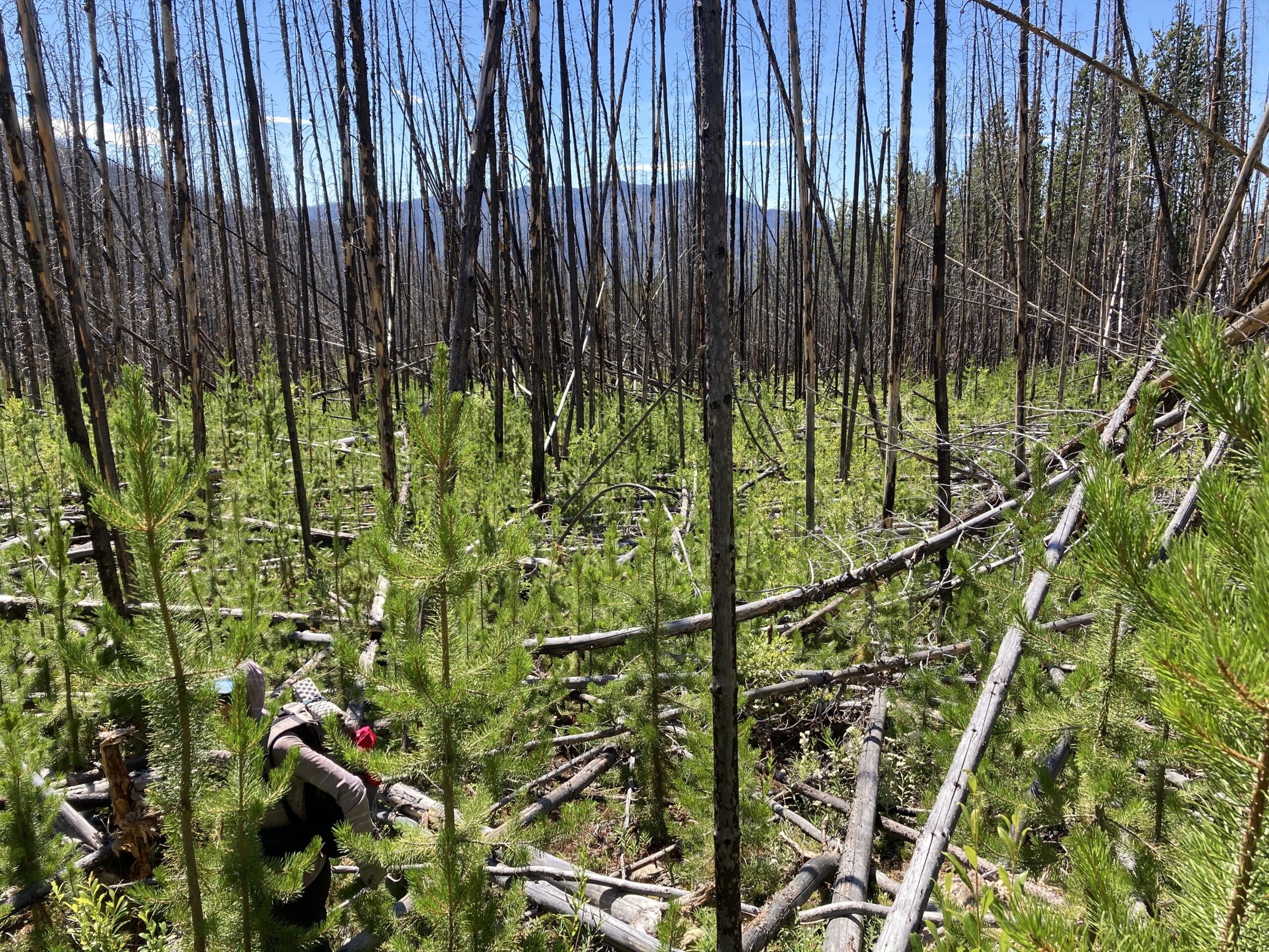
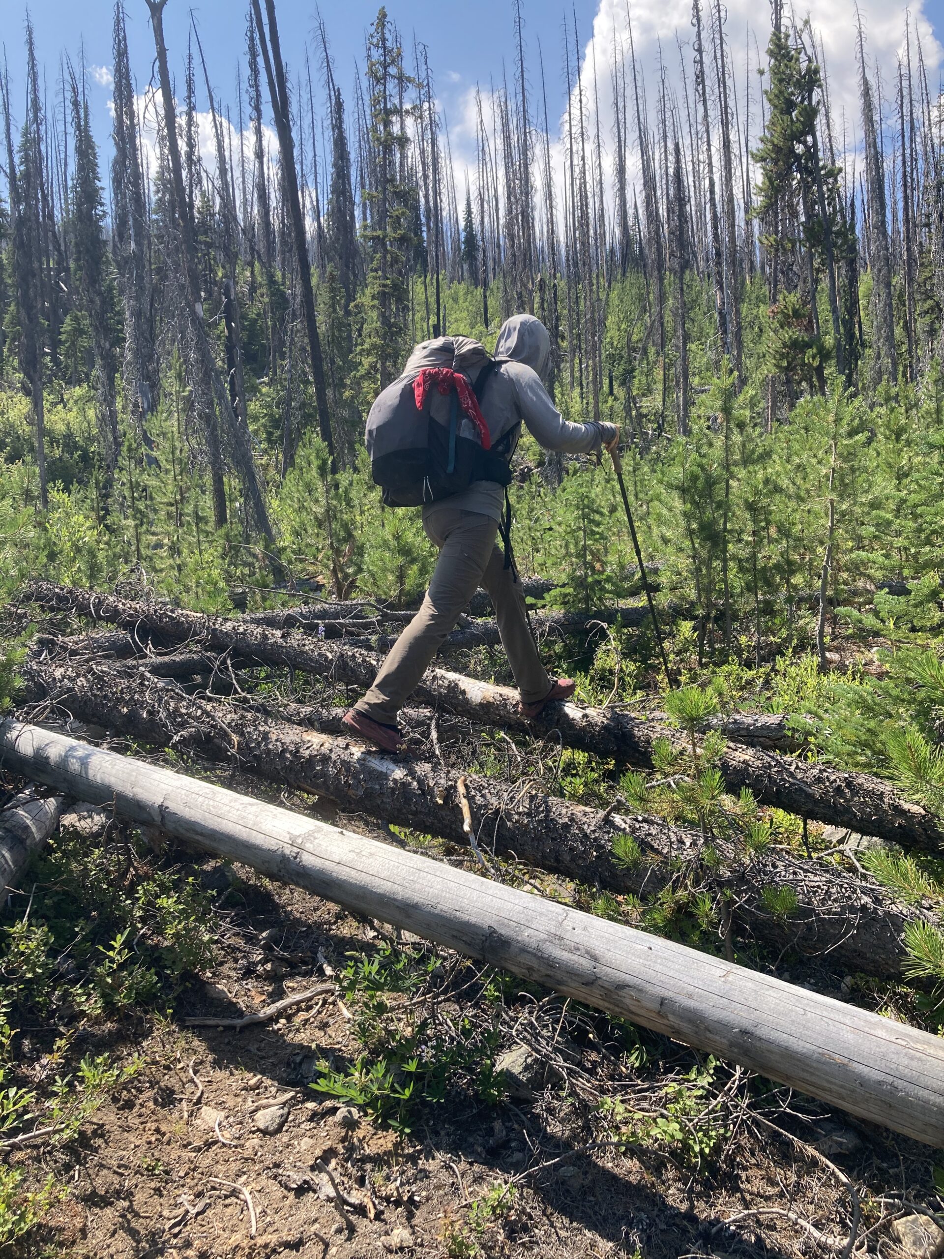
The day before we started we shuttled a vehicle to the Granite Creek Trailhead and left it there with food and other necessary items — such as sparkling water and potato chips. We woke up in Winthrop and drove ourselves to the Andrews Creek trailhead. We started up the dusty Andrews Creek trail which had been cleared, mostly by wildfires in the previous years. There were almost no standing trees a few miles into the trail, and we were able to get a few good views of the Creek along the way. We met the unsigned, but cairned, junction of Coleman Ridge Trail #505 marking the official start of the Cougar Traverse. A few miles after, we found the signed junction of Peepsight Trail #525 and turned left. Almost immediately the tree jumping, dodging, and crawling began. Just after crossing the creek we found an interesting hunters cabin and continued up Peepsight Creek for the rest of the day.
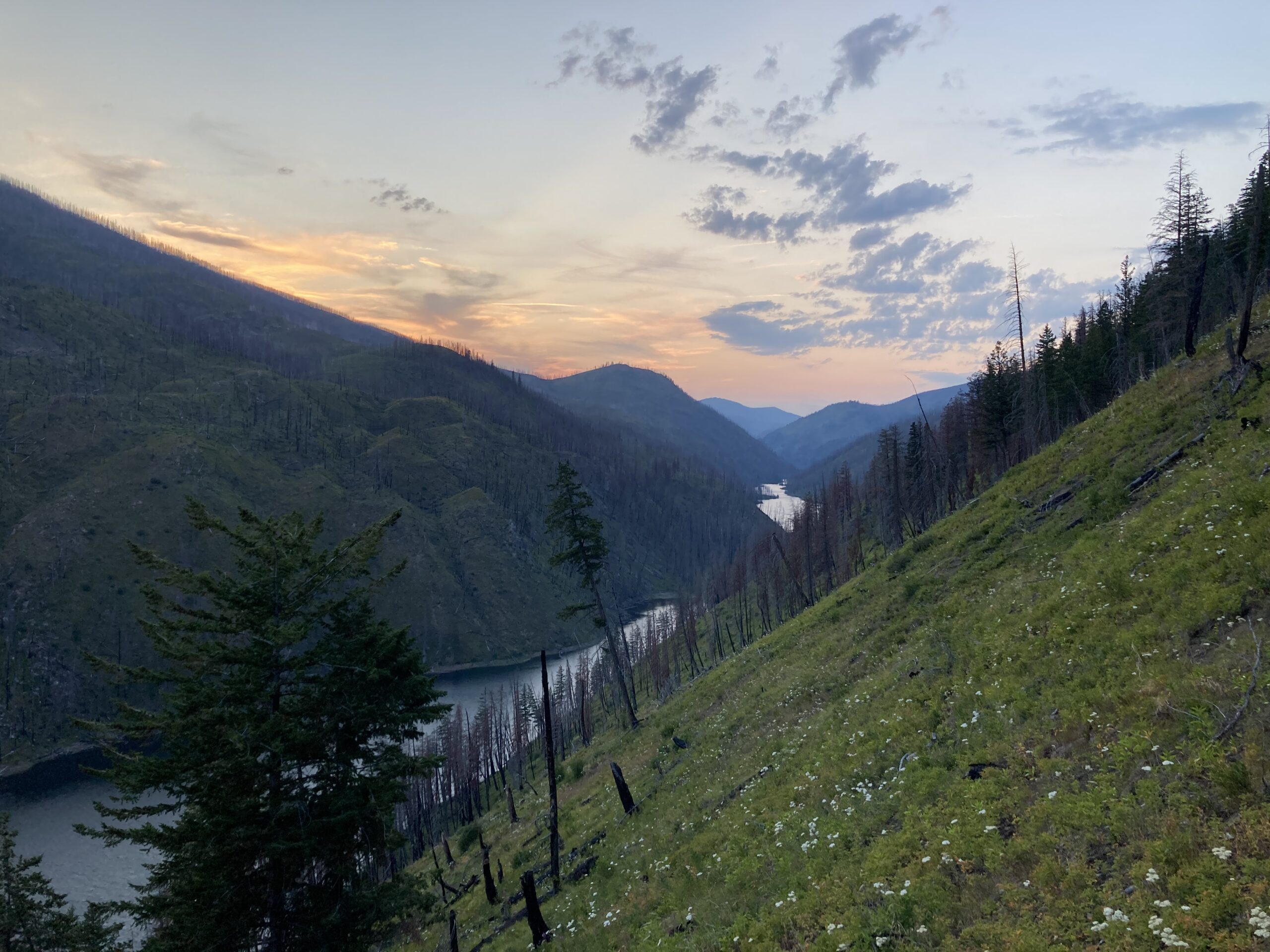
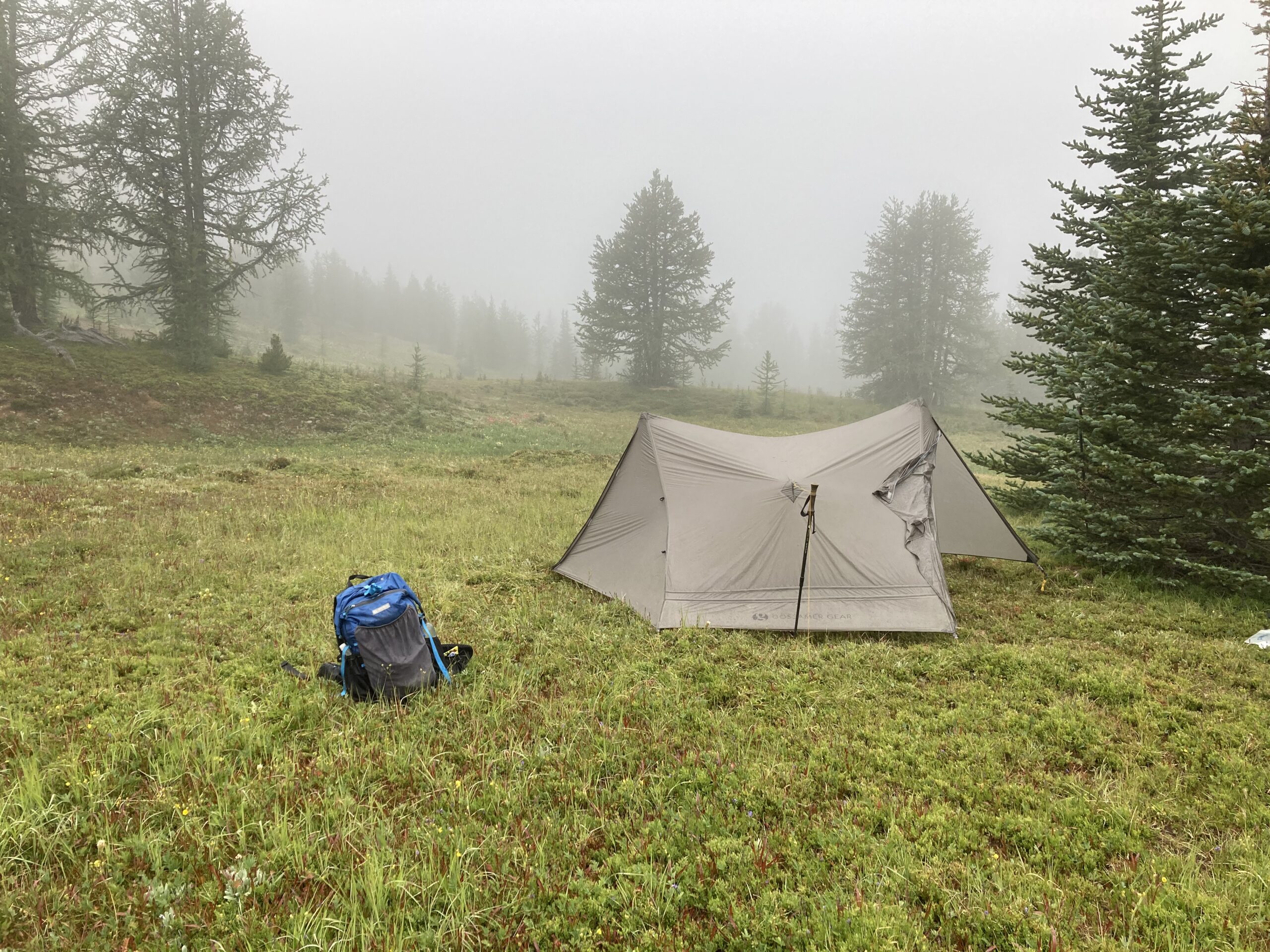
The trail was seriously covered in fallen trees most of the way until we got closer to the pass southwest of Peepsight Mountain. Making our way to the top of the pass in the late afternoon we were rewarded with great views of Peepsight Lake and the Ashnola River valley. We made our way down from the pass and called it a day at Peepsight Lake. What a beautiful lake! The bugs were very active, but the breeze helped a bit while we were cooking dinner. We were fine once we got into our shelter for the night.
Day 2
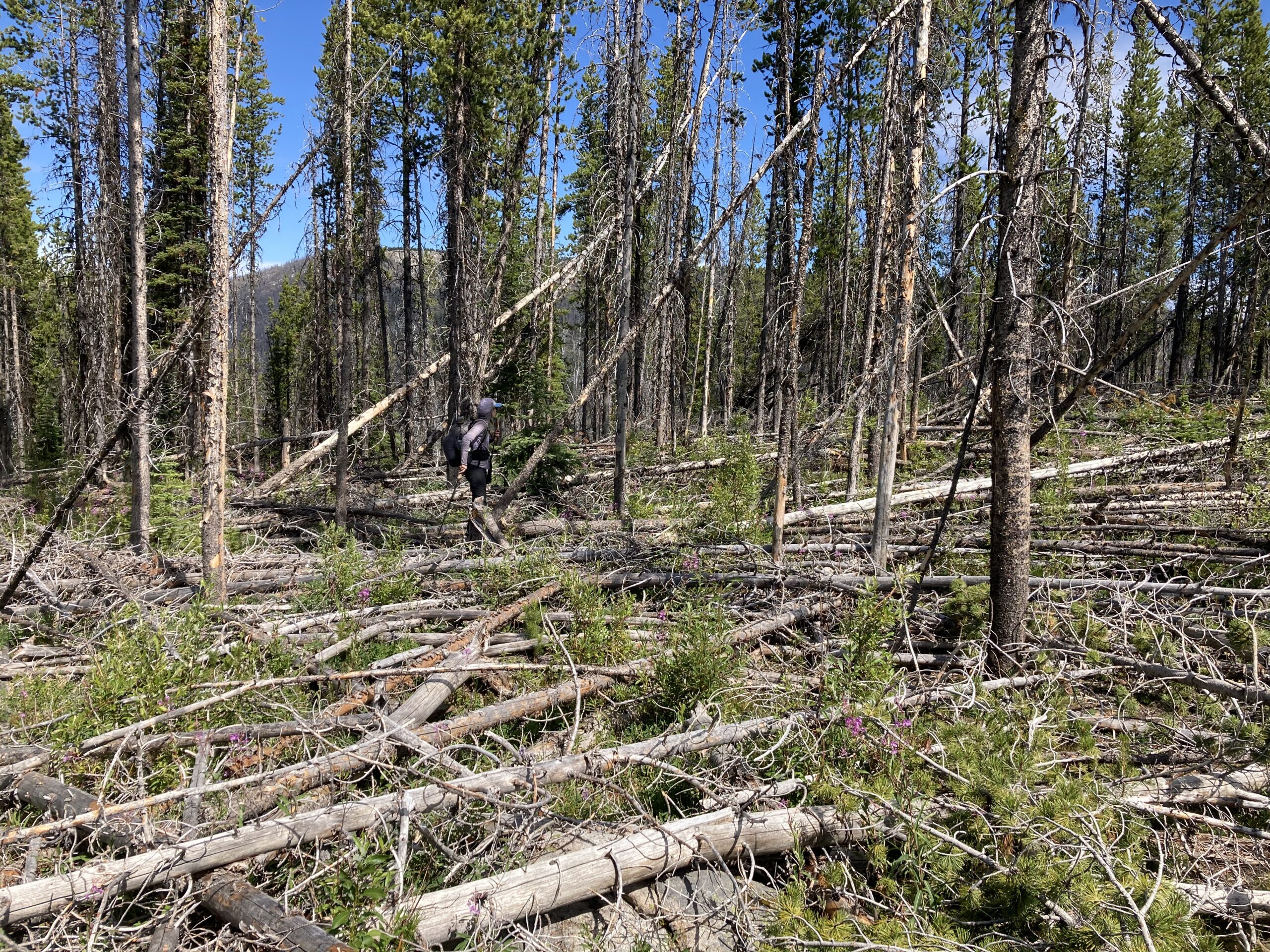
We woke up and decided against heading down to the Ashnola River and up Spotted Creek to Fawn Lake. Instead we decided to try a route that looked okay on our maps. We had read that the Ashnola River to Fawn Lake area was especially full of downed trees. Since we hadn’t yet spent much time off-trail in the Pasayten, we had no idea what the alternate we schemed up might look like in real life. Despite this, we climbed the pass to the east of Peak 7773 which offered some really fun boulder hopping before it opened up at the top into a beautiful little meadow. Then, we headed west (walking north of Peak 7207) and down to the Newland Creek drainage. We surveyed from here the Lake Creek and Fox Creek drainage where we were headed next — not surprised to see an endless hillside of fallen trees. We started the tree hop, skip and jump up to the pass south of Diamond Point. From this pass the walking was fairly easy. The fire in this area seemed recent, and many of the trees were still charred and standing so the undergrowth was completely gone. We hit the main trail at Diamond Creek and were relieved to walk on some maintained trail. We were not sure what the next section of trail up and over Dollar Watch Pass might hold — so we were pleasantly surprised to find living trees and easy walking. Win for us! Dollar Watch Pass was beautiful and the views were stunning towards the Osceola-Carru-Lago grouping of peaks. After this, the trail once again turned into burned forest and downed trees as we dropped towards Middle Hidden Lake. It took us a while to make it down the Stub Creek drainage. We finally descended to Middle Hidden Lake, just as the sun was setting. Here, we were pleasantly surprised to find a few structures and a pit toilet. We enjoyed our dinner as we watched the moonrise and went to bed very tired.
Day 3
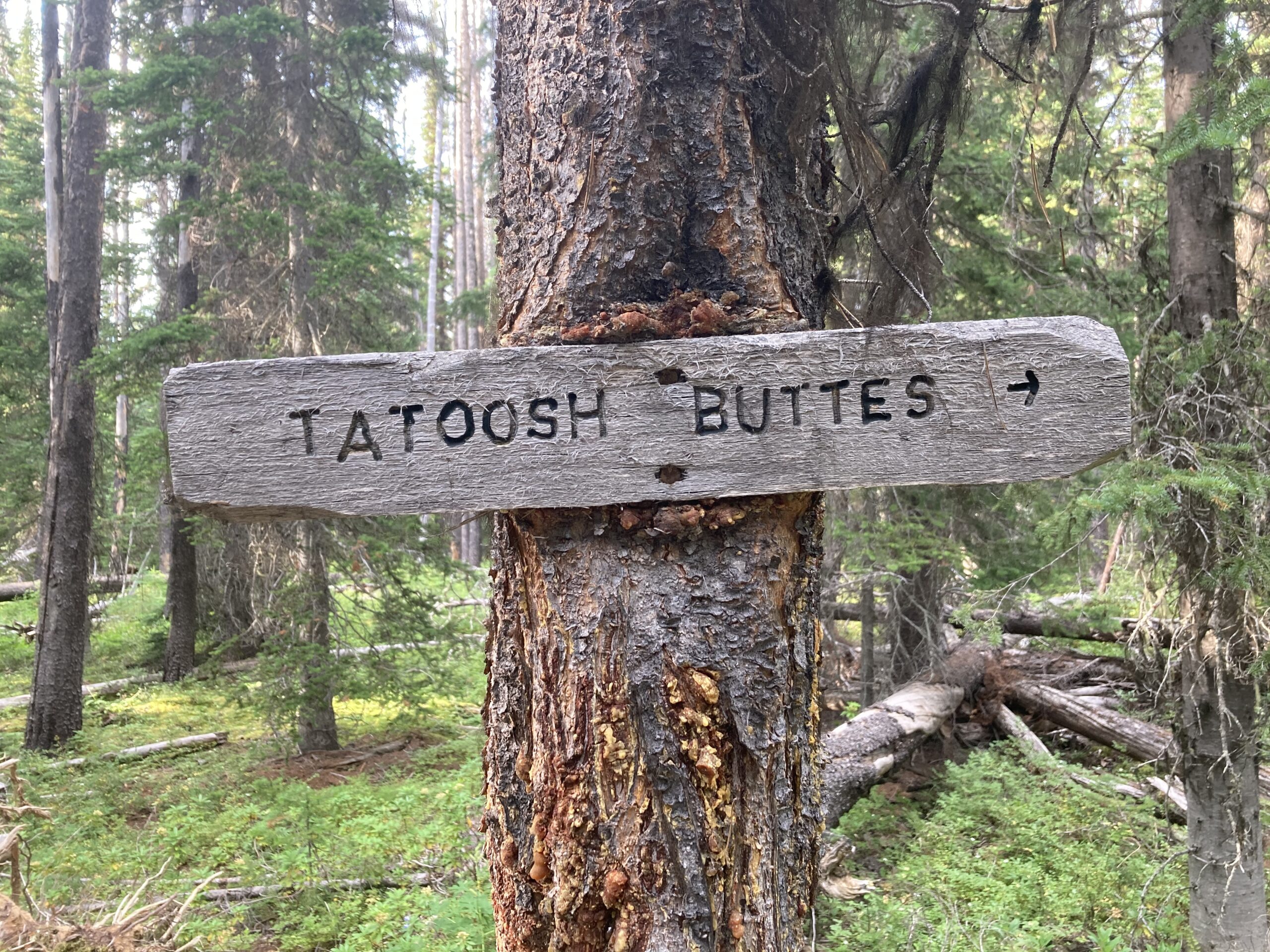
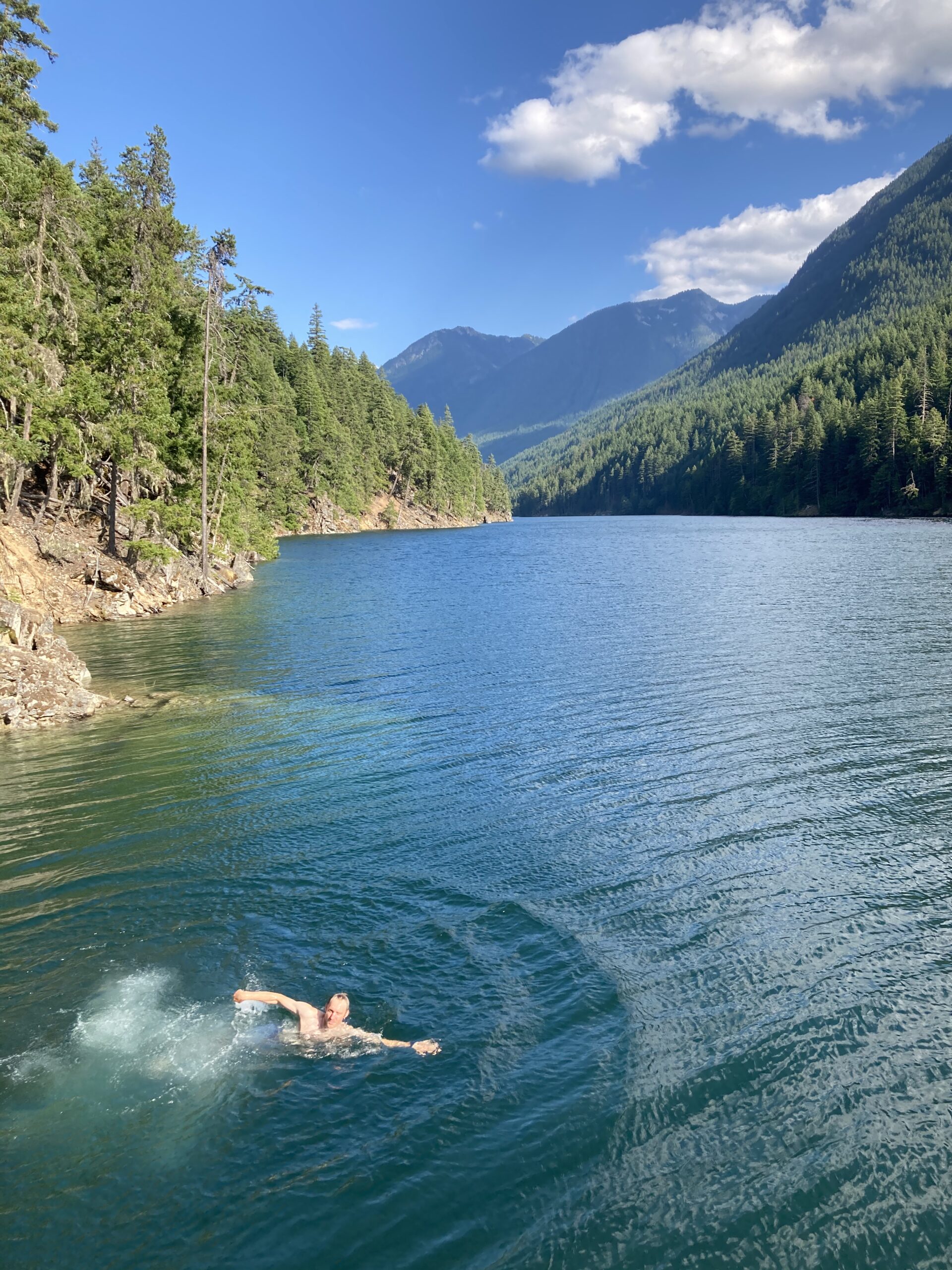
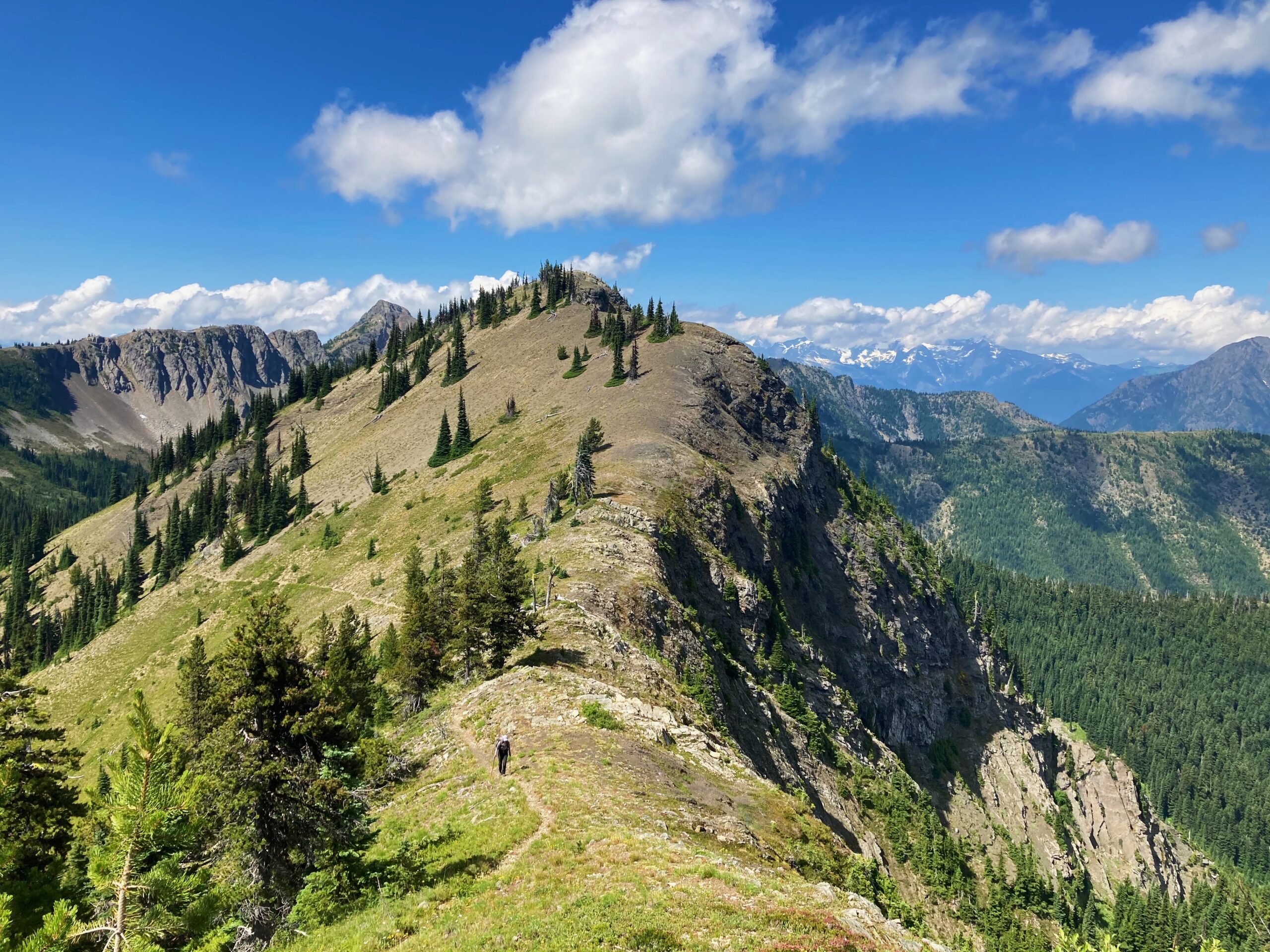
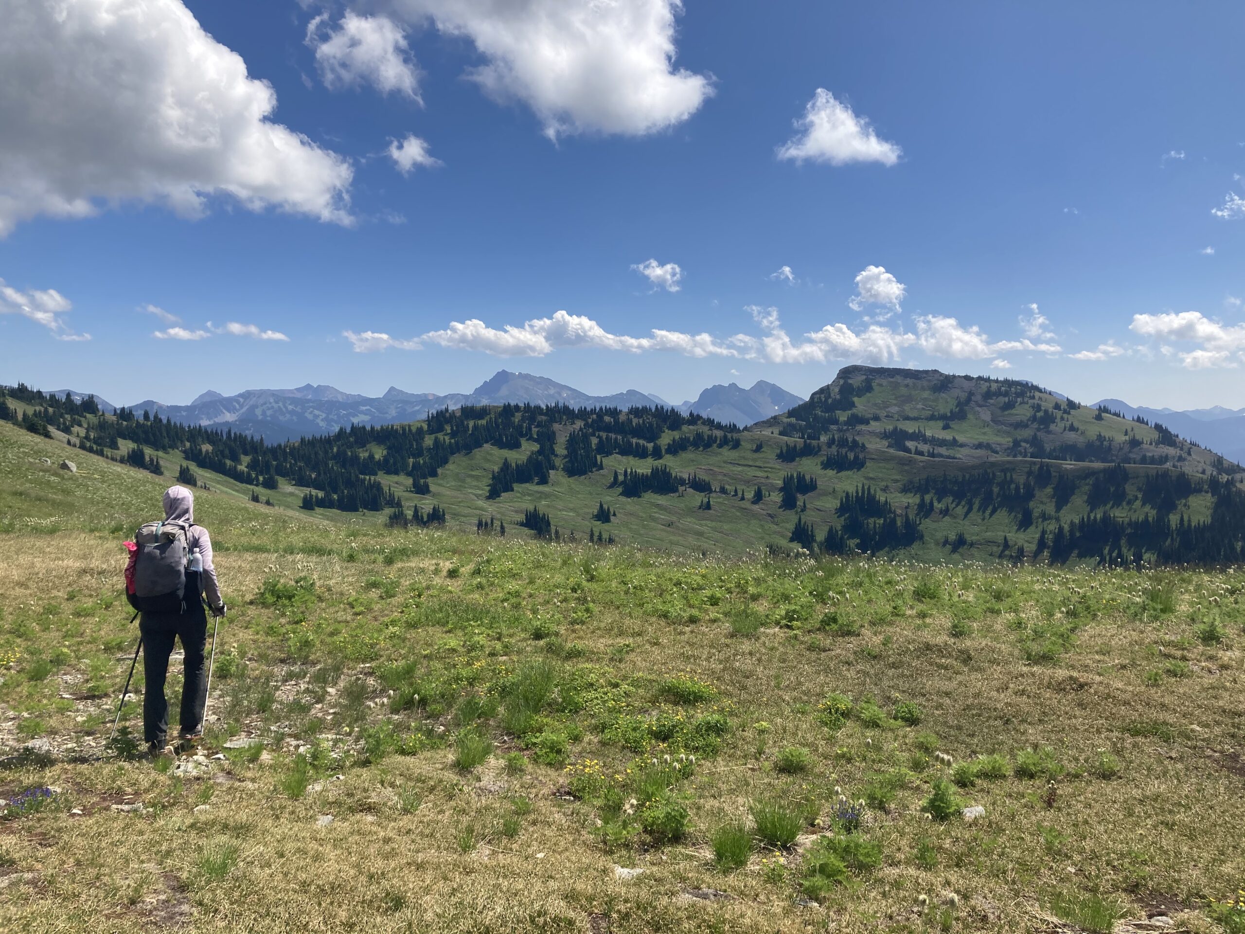
We awoke and headed up to Tatoosh Buttes. Great views all along the way because this hill, as with many others, had been completely burned. As we made it up to Tatoosh Buttes the views got better and better. Once we hit the spot where Tamarack Ridge meets Tatoosh Buttes we headed off the Cougar Traverse and towards Ptarmigan Peak (a Washington Bulgar peak along the way). The walking was easy and this peak offered stunning views of the surrounding area. We dropped our packs close to the summit and scrambled to the top. We spent a few minutes on top, signed the trail register and headed back towards the Cougar Traverse. We hoped that the trail down into the huge Pasayten River Valley was good. Fortunately, this trail was cleared recently so it was easy walking downhill to the Pasayten River. Once we hit the valley floor, there was a sign saying the bridge had been washed out over the Middle Fork of the Pasayten River and wasn’t crossable. We decided to walk and check it out anyways. Turns out, it was an easy crossing on foot after some downed tree dodging. We ended the day near the Three Forks cabin — in a stand of mostly dead looking trees. We chose the best spot we could find out of the numerous tree fall lines, and called it a day. Overall, this was a great day — some good walking, a peak with beautiful views, and the ability to go for a dip in the river at the end of it!
Day 4
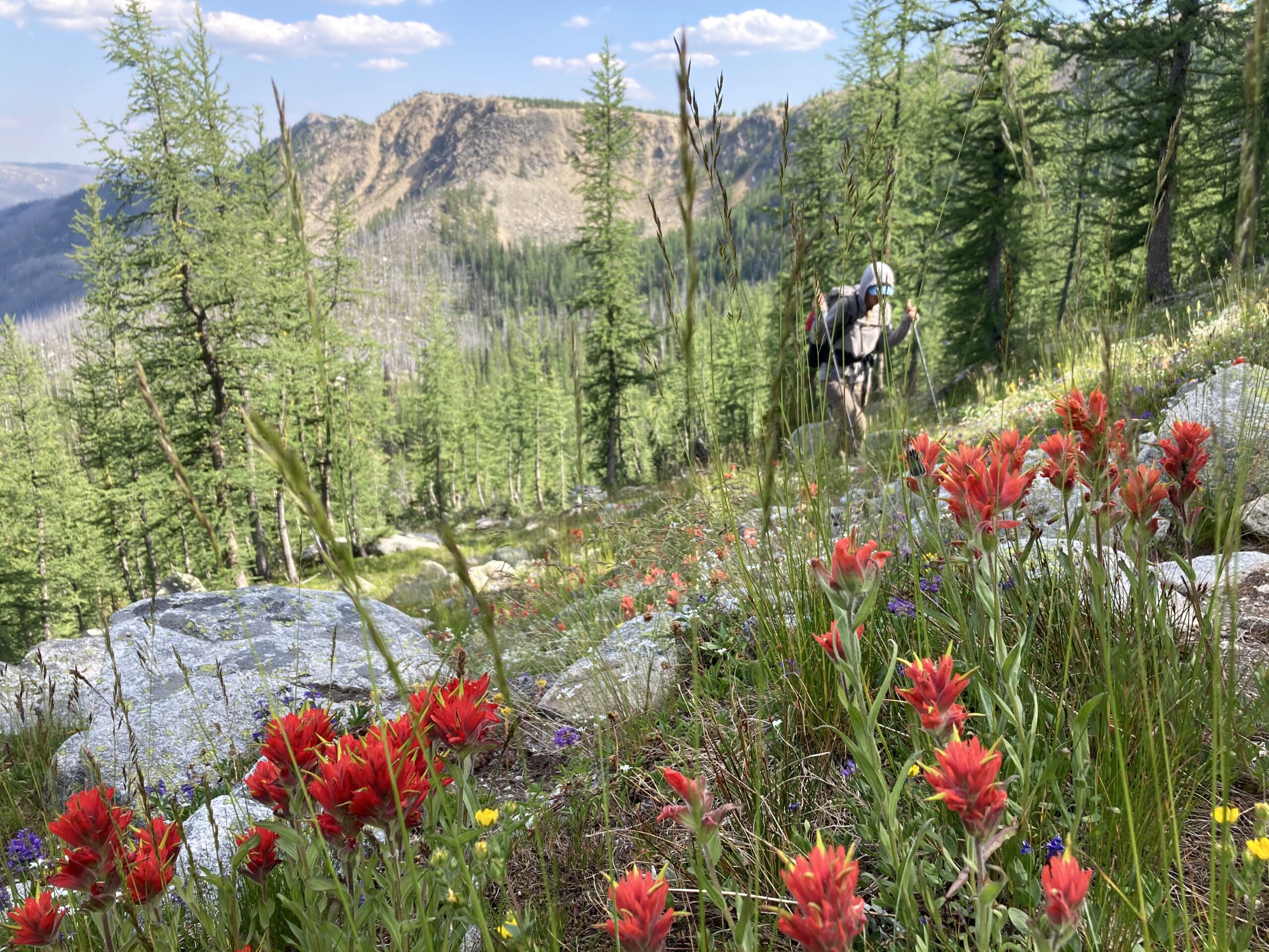
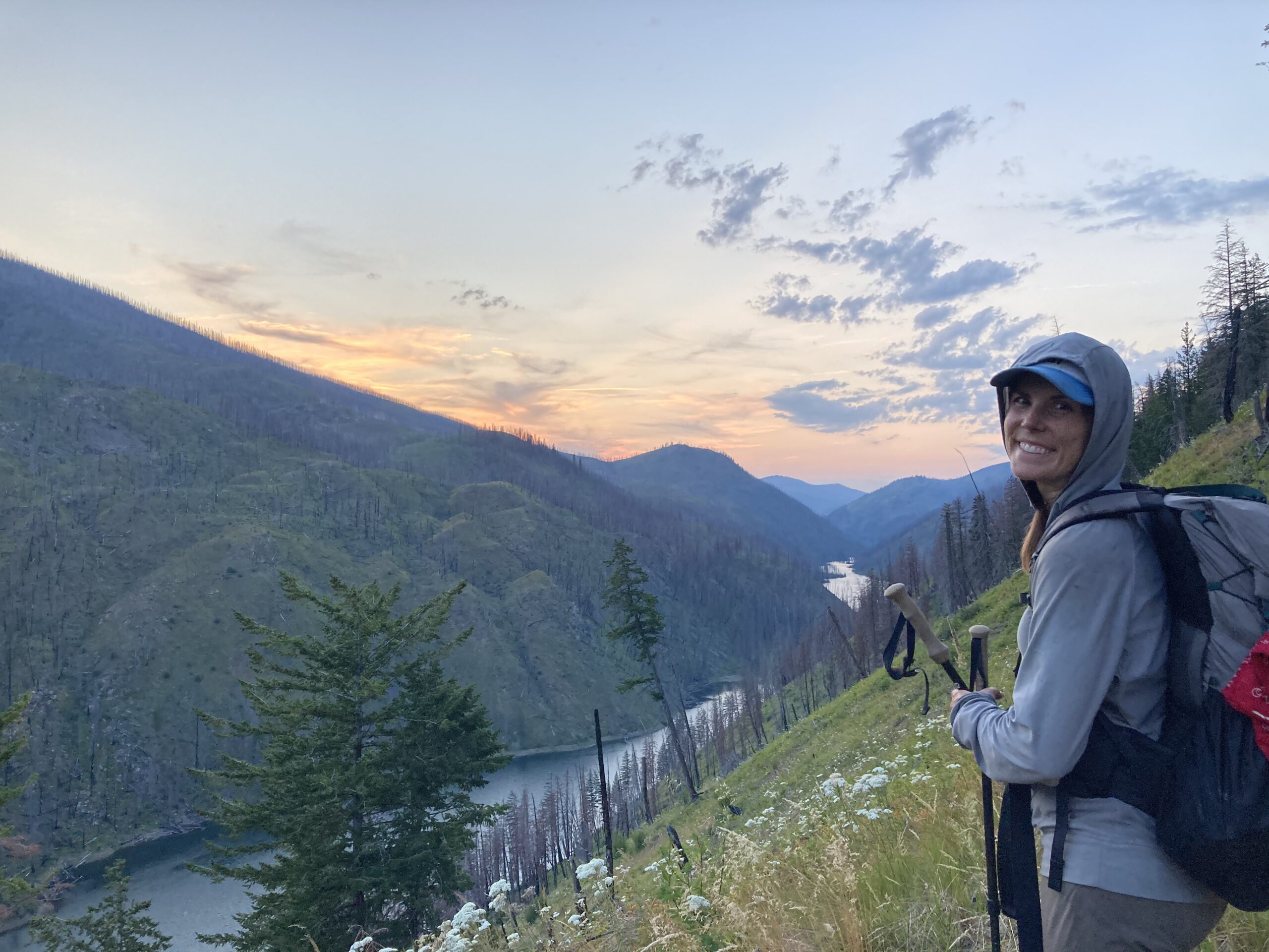
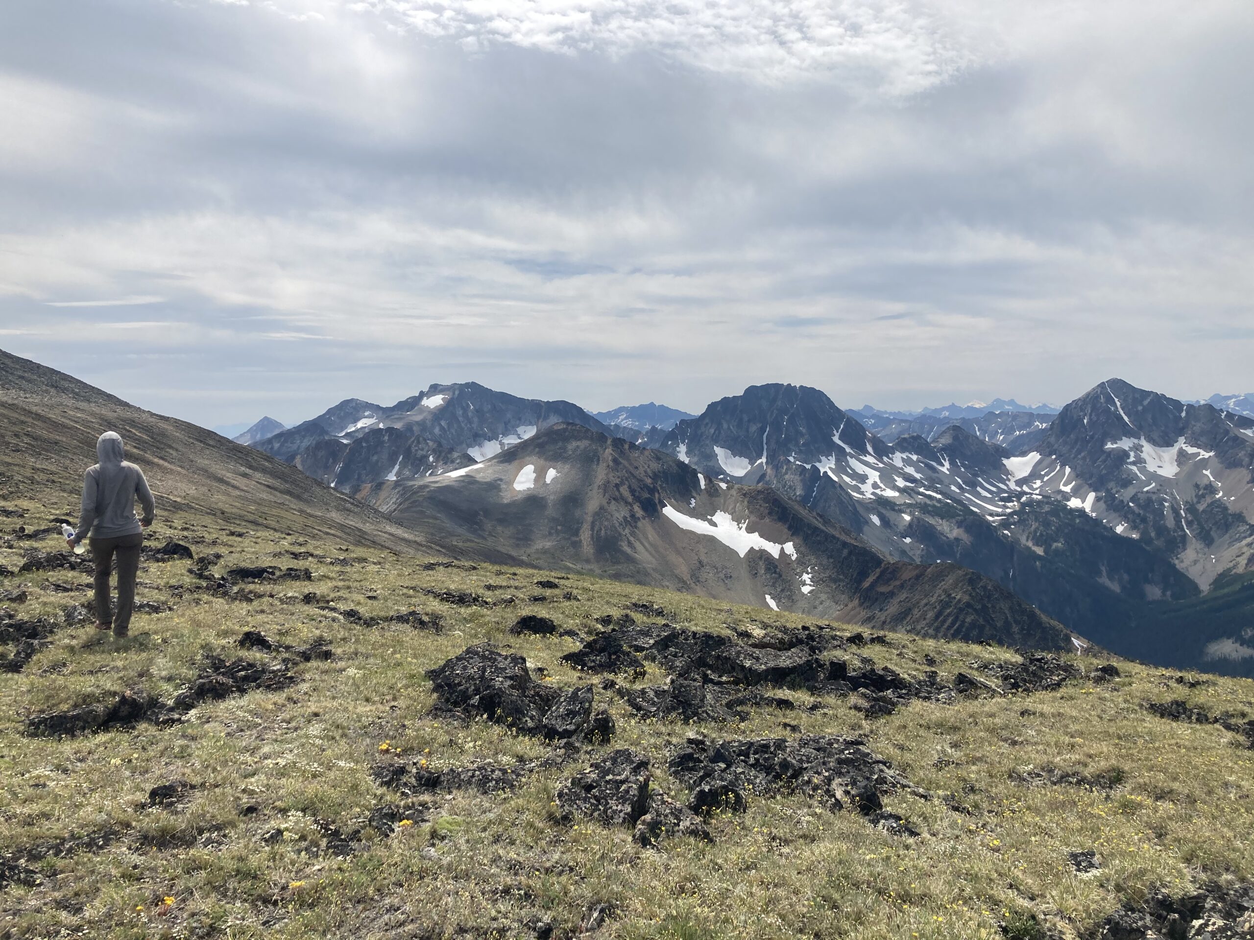
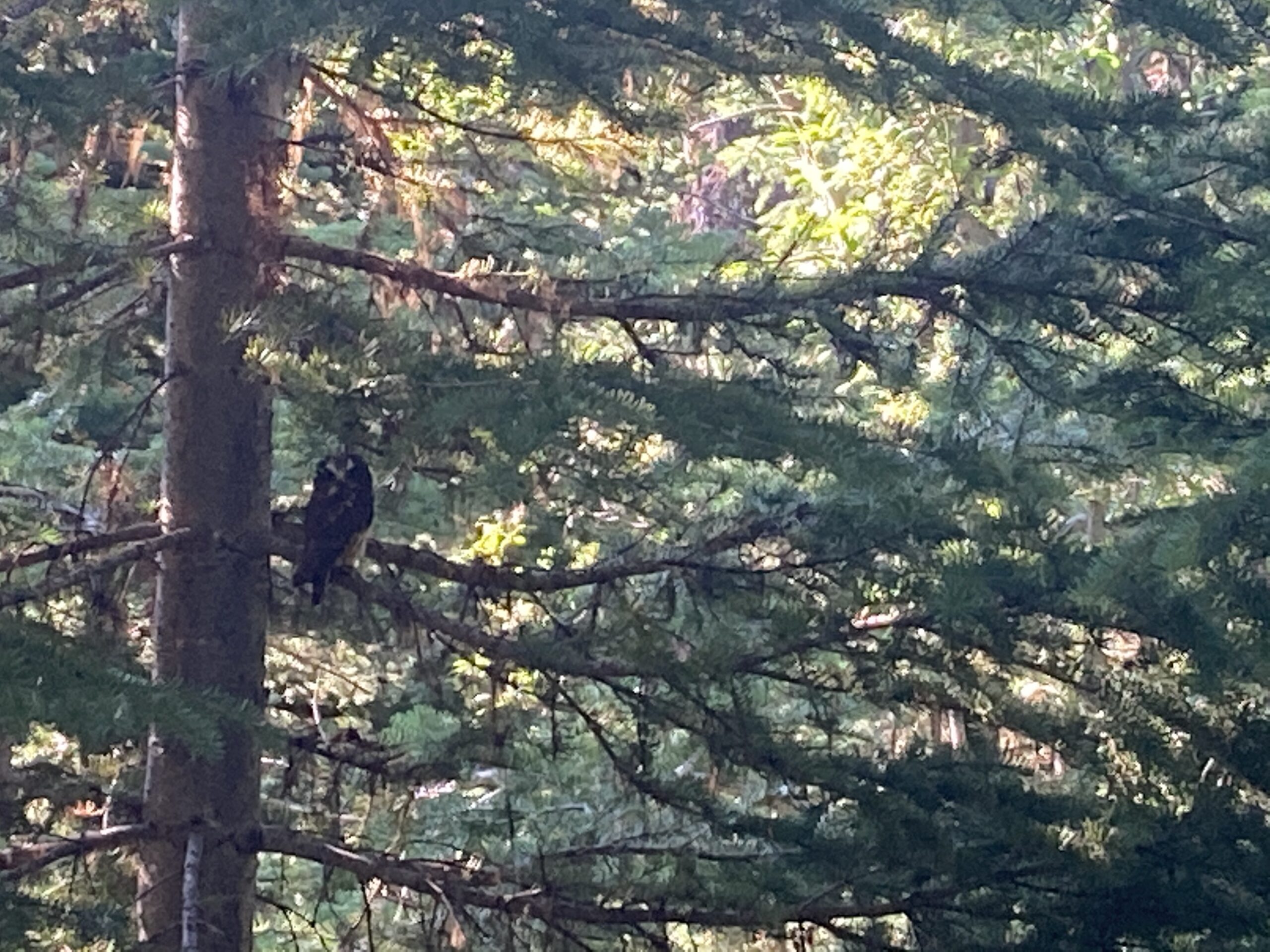
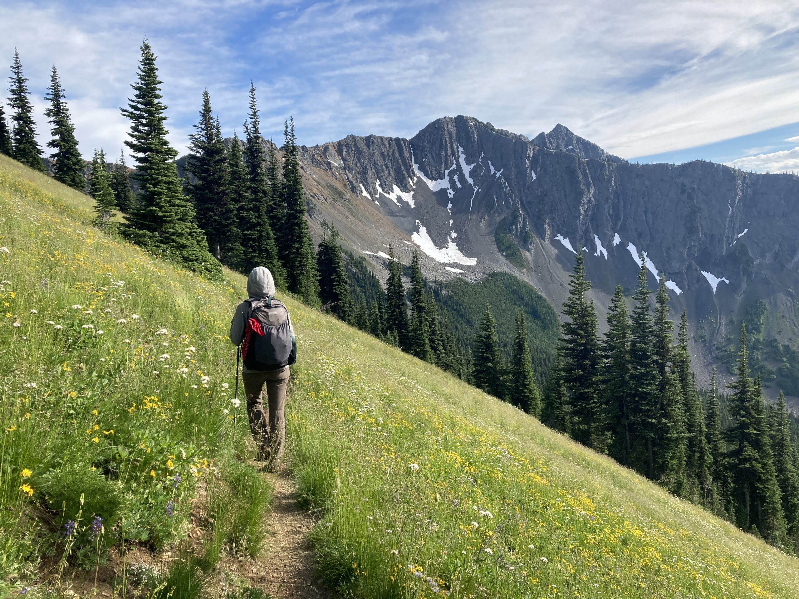
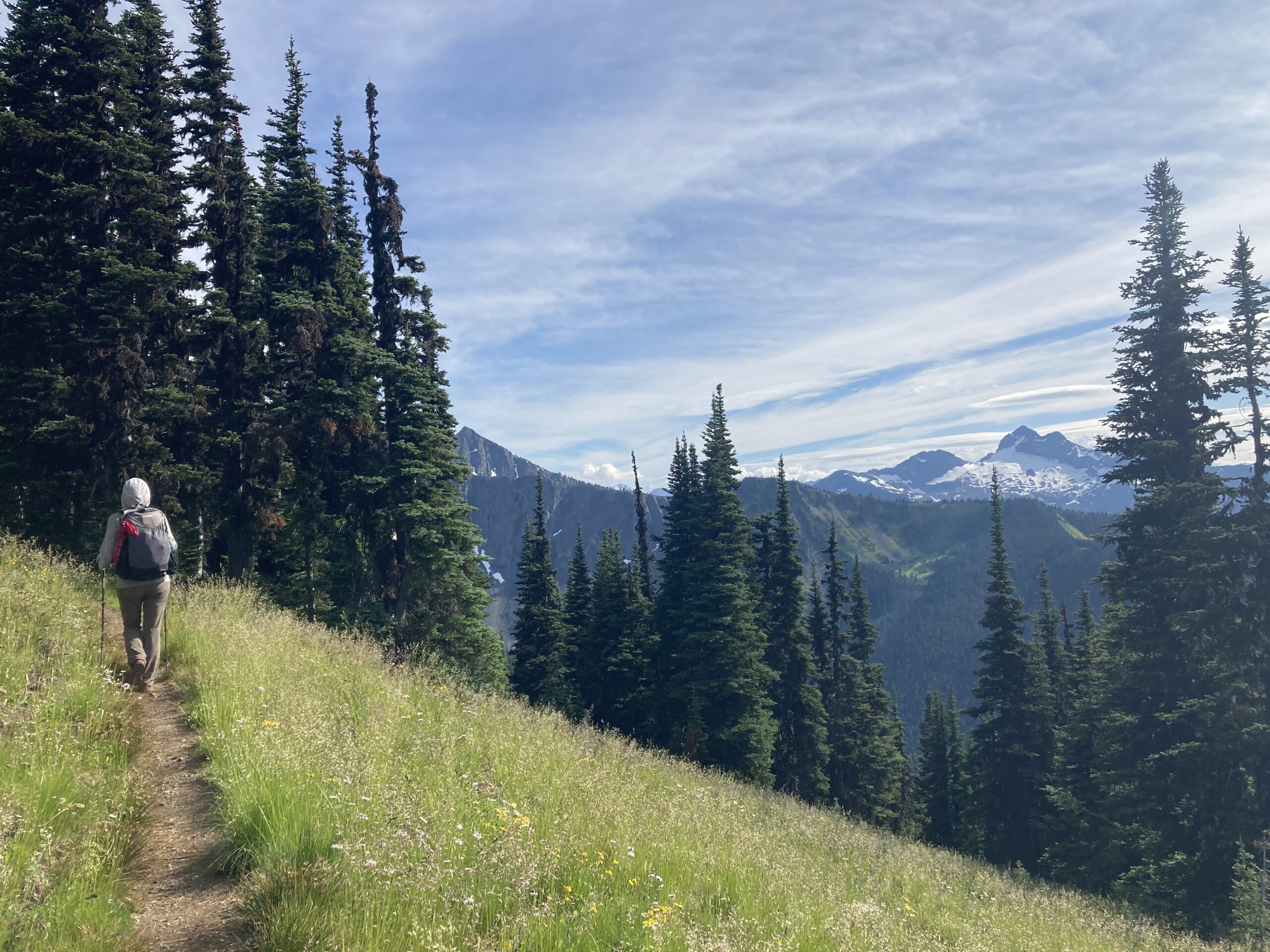
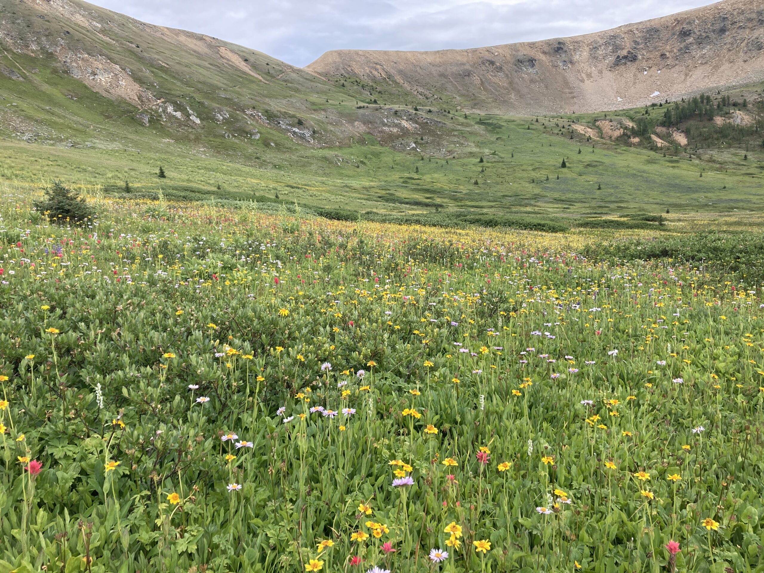
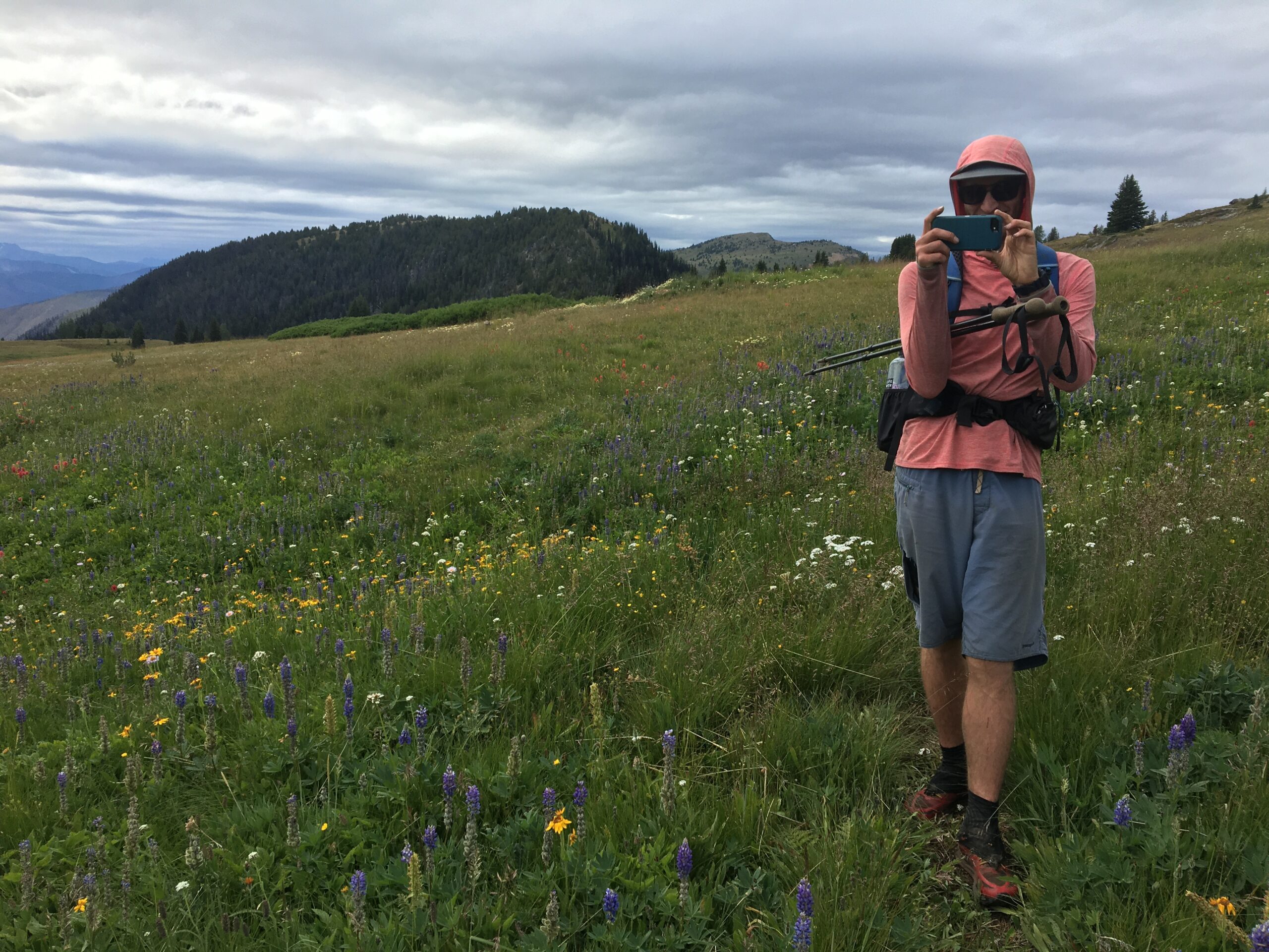
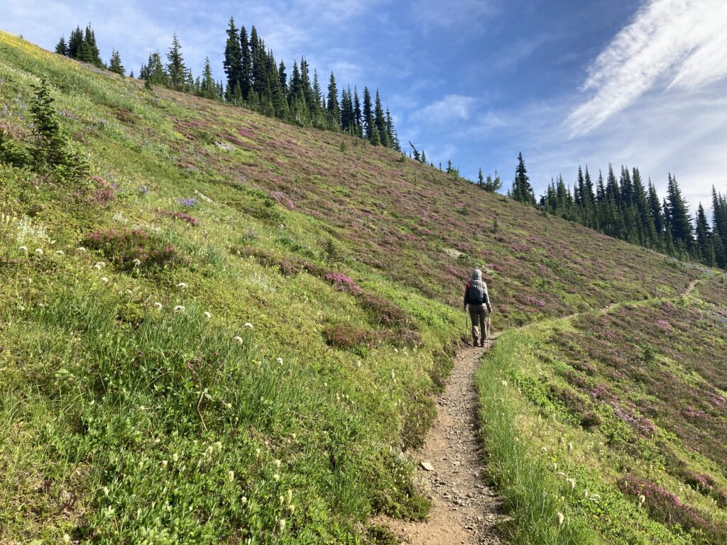
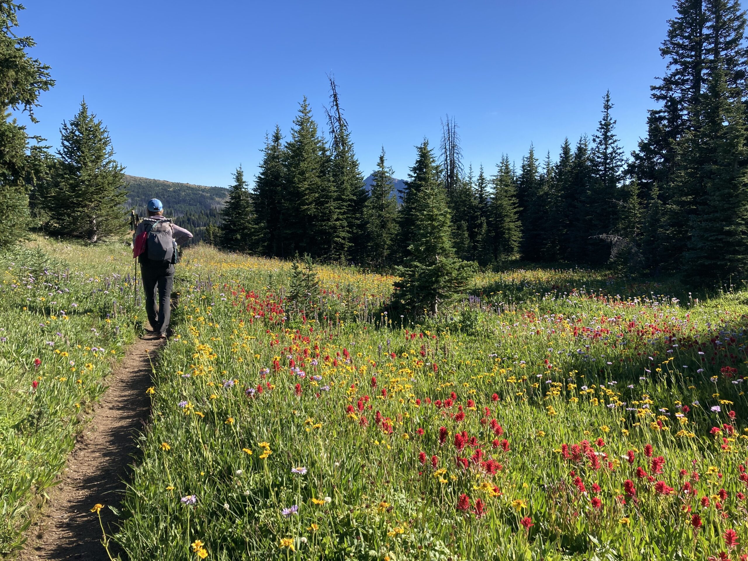
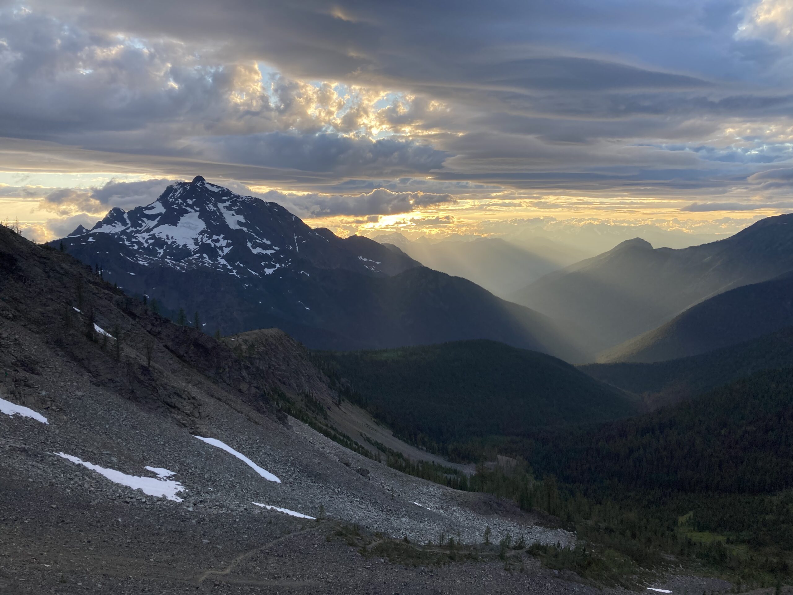
On Day 4 we headed up the West Fork of the Pasayten River. This trail had some downed trees all the way until its junction with the trail towards Holman Pass and the Pacific Crest Trail (PCT). Along this trail we came across a small, curious owl that looked fairly young. After pausing for a while to watch the owl, we took the gradual trail up and over Holman Pass, stepped across the PCT and headed down towards Canyon Creek. We made the big climb up to Skypilot Pass and started getting glimpses of the mountains around the Ross Lake area. We were about to be blown away…. As we climbed gradually up to Devil’s Pass and started along the trail below Jackita Ridge, we could barely handle the beauty that we saw. Our jaws fell open and we stared and stared. So many flowers! The landscape was carpeted in purple, yellow, white, red and everything in between. The lighting from the setting sun through scattered clouds against the backdrop of Jack Mountain was truly incredible. Our cameras failed again and again to capture what we experienced so eventually we just stopped trying to take photos. We had a long day of about 27 miles and found a great camping spot at Devils Park with stunning views of Jack Mountain.

Day 5
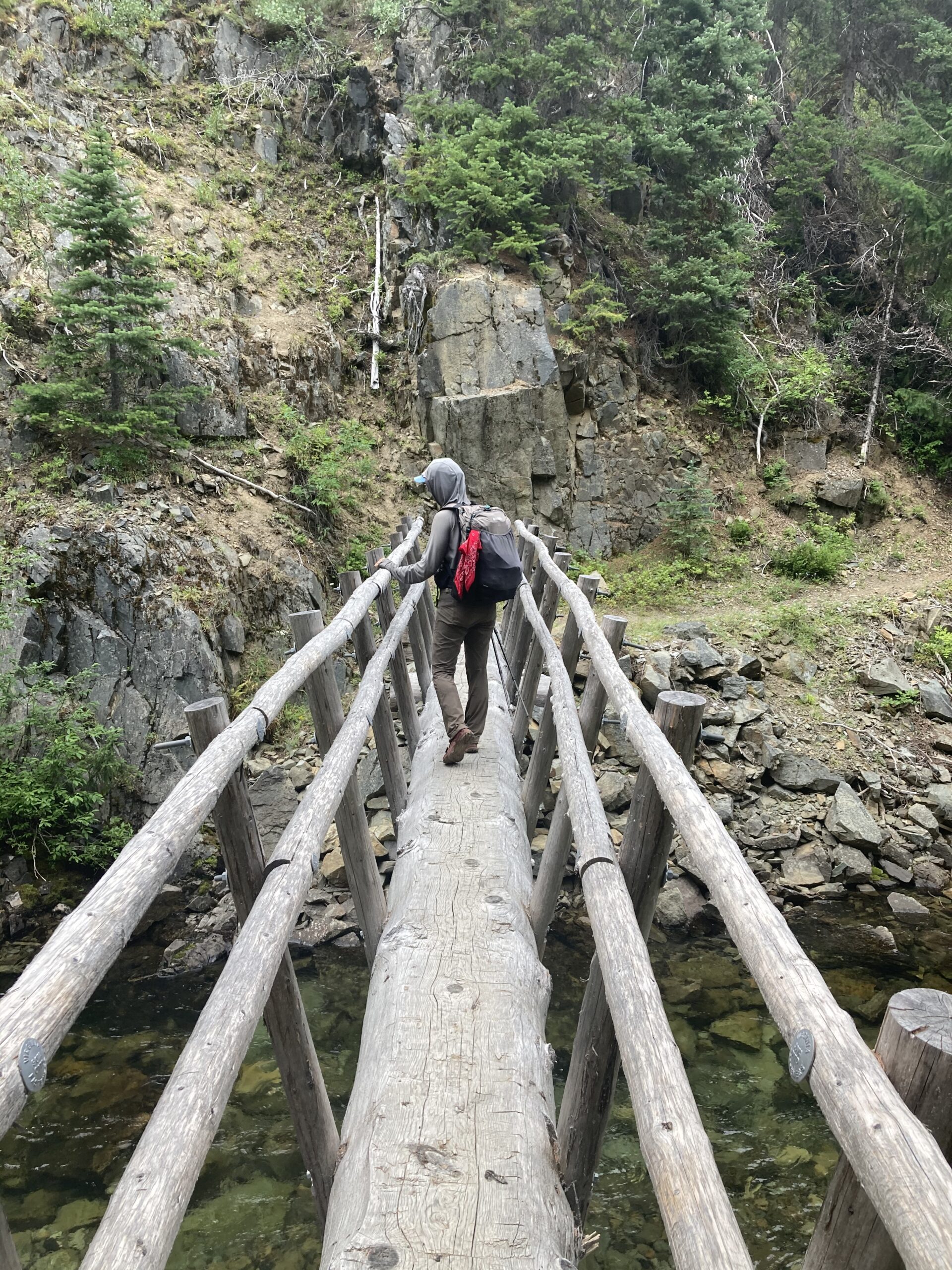
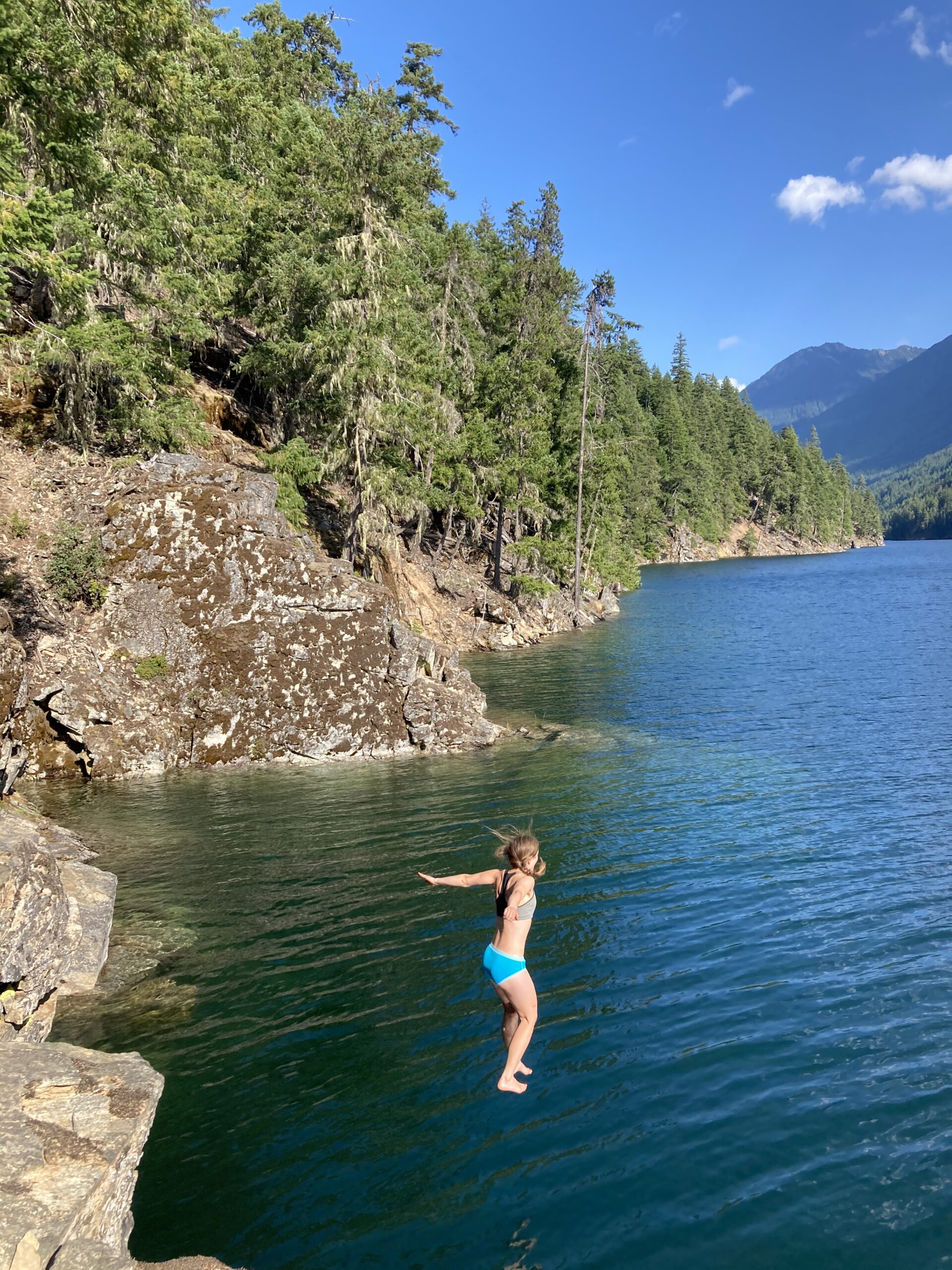
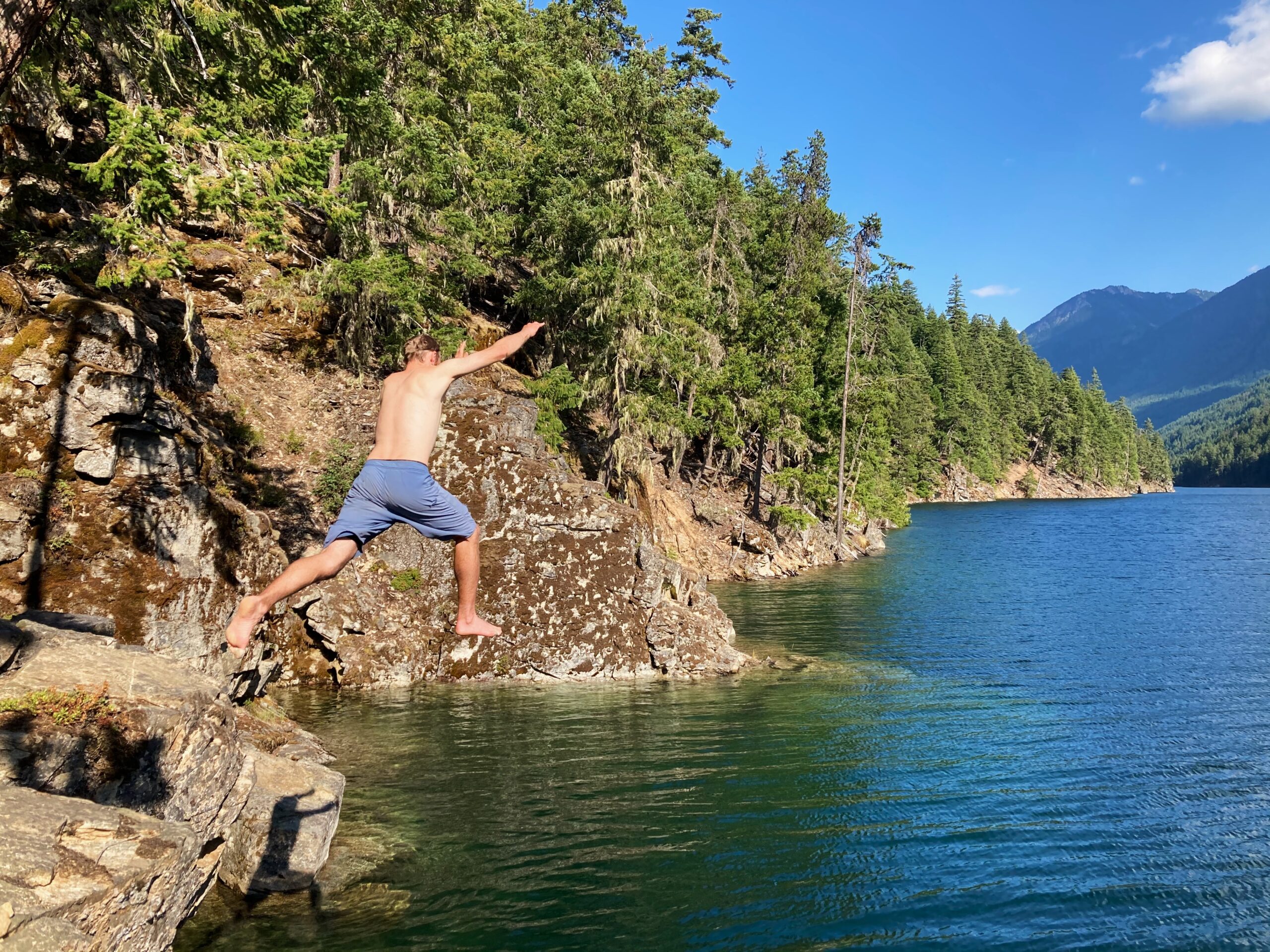
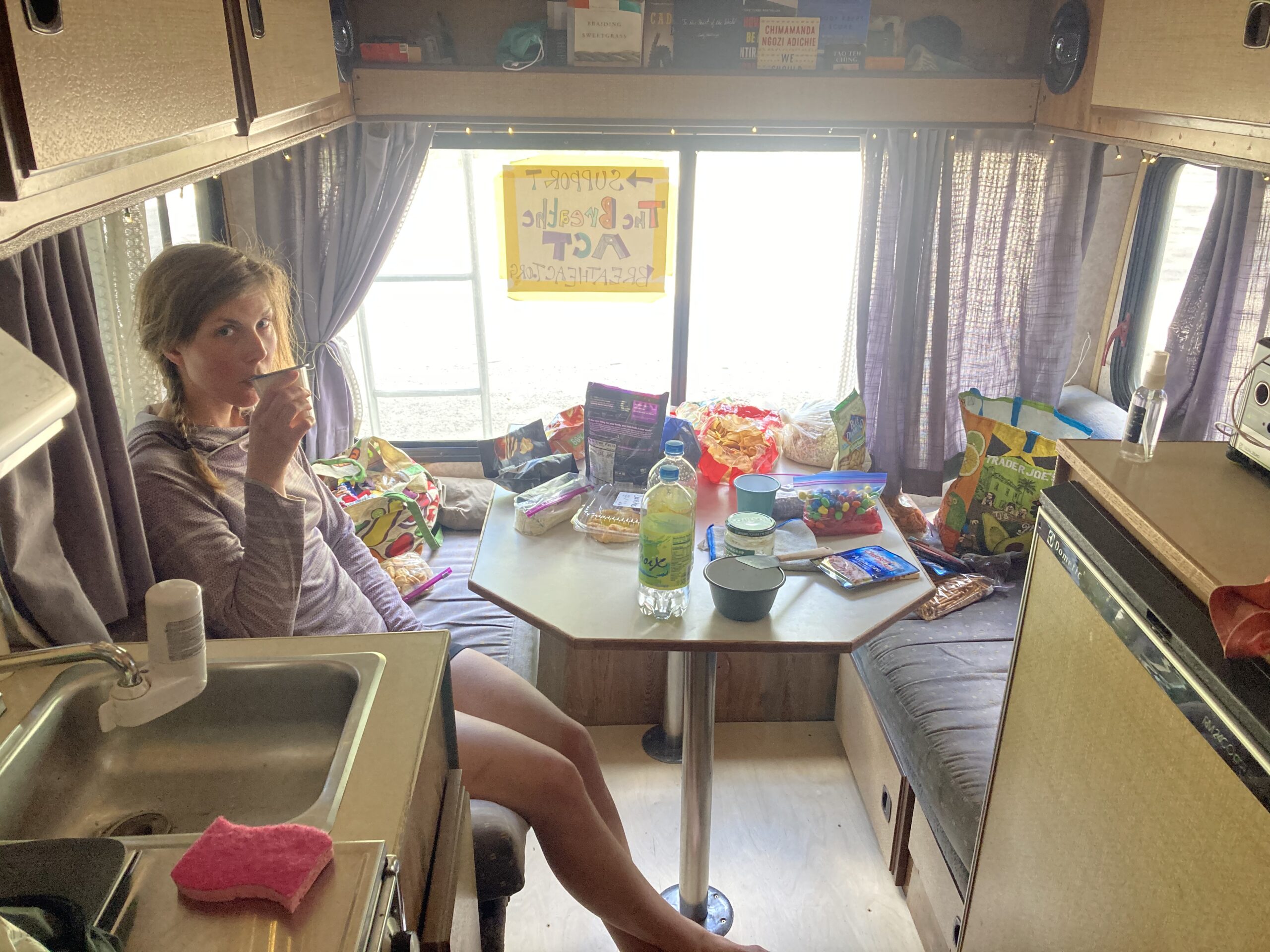
We started early on Day 5 since we had planned our resupply at the car we parked at Granite Creek trailhead for today. We walked the many, many switchbacks down to Granite Creek — passing lots of folks along the way. Clearly this area was a popular backpacking destination in the North Cascades, but we were just on it for this small section of the Cougar Traverse. We made it down to the river after about 99 switchbacks, crossed it since the bridge had been washed out, and headed to the car for a resupply. At the car we enjoyed some sparkling water and chips. From our time working with Outward Bound we remember it is always nice to take a break and relax at a resupply spot. Once we had our fill we reorganized our food, packed up, crossed the river again and got back on the trail that would eventually take us along Ross Lake. It was a weekend and this trail was crowded! Many people we passed made sure to tell us to check out the Ruby Arm below Hidden Hand campground. We stopped at the trail junction and debated whether or not to go take a look. Ultimately, we decided to go — it was definitely worth the trip! We were pleasantly surprised by the beauty of that spot and on top of the stunning scenery, there were multiple spots to go cliff jumping into Ross Lake. We spent some time hanging out by the lake and then headed back up to Hidden Hand campground where we slept for the night. It felt like a restful day all in all.

Day 6
The day started by walking the East Bank trail along Ross Lake. What a stunning trail! We stopped to swim before we left the lake which was well worth it. The walk along Ross Lake was really enjoyable, and we decided to one day come back and spend more time exploring there. Eventually, we turned east on the Boundary Trail — what we would walk on for the next several days. The trail was fairly well maintained all the way to Lightning Creek and then quickly deteriorated into stacks of trees three or more high. It looked like a giant’s game of pick up sticks. Here we go again, we thought to ourselves. We had enjoyed the last few days of smooth trail walking, but we knew it was only a matter of time before the downed trees began again. We called it a day along Three Fools Creek at a campsite that we felt lucky to find as there was overgrown brush all around. The next day we found a nice big campsite another 30 minutes up the trail — but we took what we could get that night.
Day 7
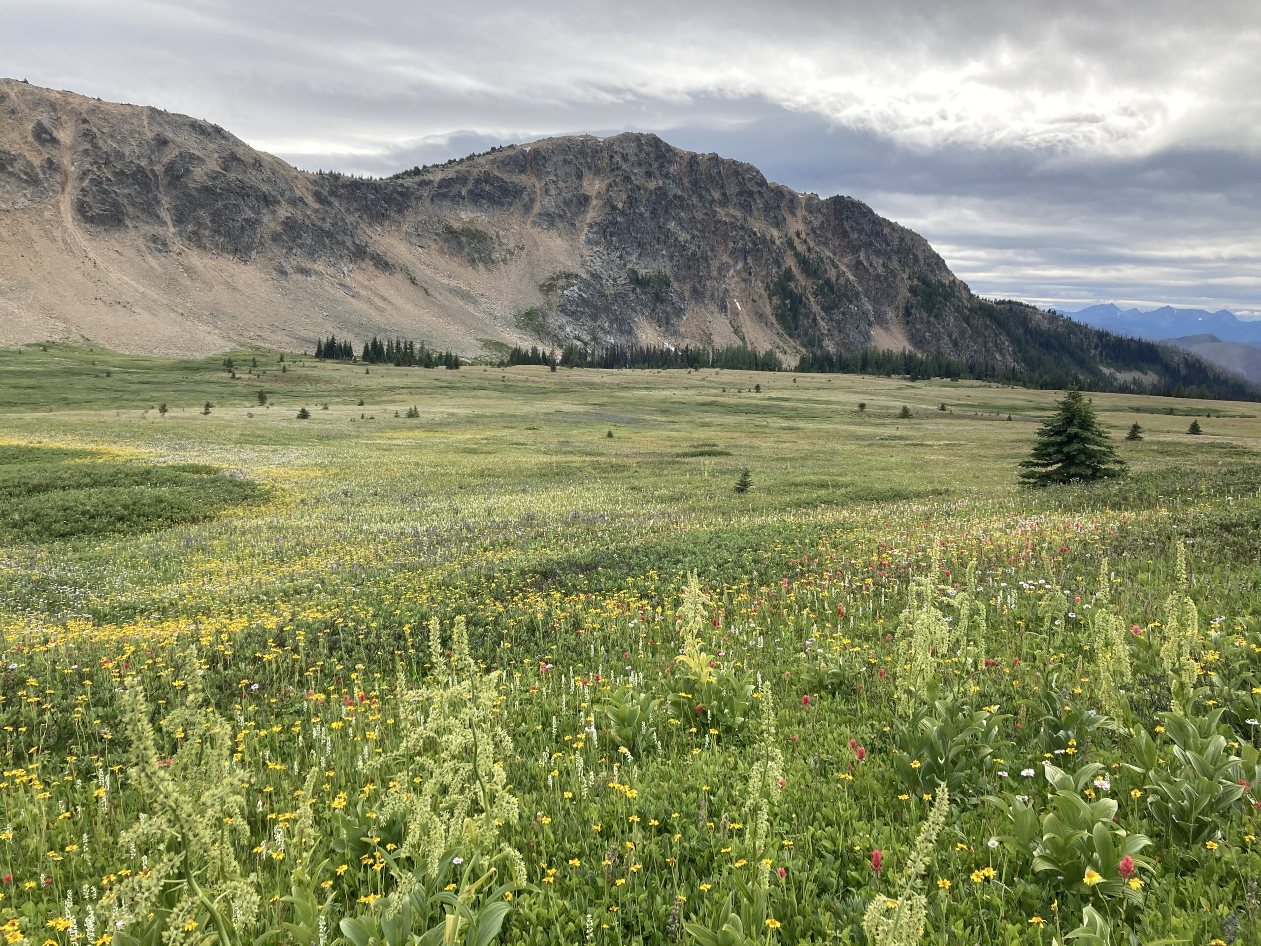
The day started with a few more miles of tree hopping until eventually the trail became pretty clear. The views gradually improved as we made our way up to the ridge above Elbow Basin. The whole trail along this ridge was awesome! As we made our way off the ridge into Big Face Creek drainage, the trail became more overgrown. It was still fairly easy to find and follow, but the moving was slow with tall brush everywhere. Eventually, stepping across Big Face Creek, we followed the trail back up onto the ridgeline. The trail was still easy to follow, but it was obvious that people didn’t often walk along it. Just before we met the PCT at Castle Pass, the trail basically disappeared. The last few yards we just walked across a grassy field towards the obvious PCT corridor. We hit the PCT and walked more easily on the very well graded trail to Hopkins Pass, calling it a day at Hopkins Lake. The bugs were VERY bad at Hopkins Lake so we did our evening routine fully in the shelter. Clouds had rolled in and the wind was picking up. We began to expect some weather for the following day.

Day 8
This was the first day of the carry that our backpacks started feeling much lighter. We were interested to see what walking on part of the PCT would be like. We haven’t spent that much time on the PCT on purpose because we hope to do a full thru-hike of it at some point in our lives. Dark clouds were swirling in the sky and we knew a storm would likely roll in at some point. The PCT did not disappoint and the walking was excellent. It was short lived though, and after a little over an hour we turned off and began east down the Rock Creek drainage towards the Pasayten River Valley — the point where we would come closest to the center of our figure eight. It started to rain on the way down, but didn’t last long. We were pleasantly surprised by the Pasayten airstrip and cabin (it was not on our maps). We then continued along to rejoin the Boundary Trail.
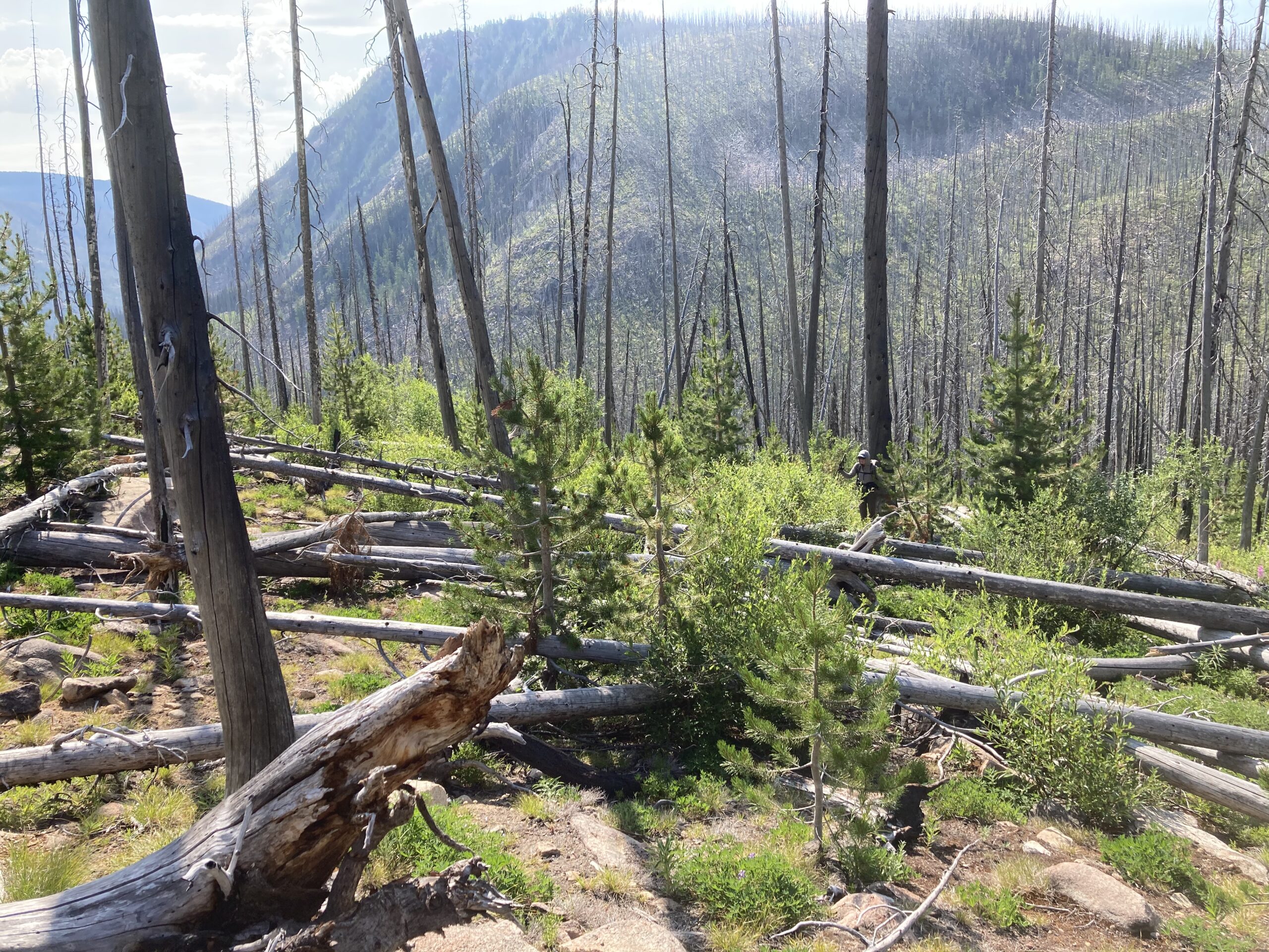
This point marked one of the scariest moments that we have ever had while backpacking together. As we walked down the Boundary Trail we were walking through an old burn. All of the burned, dead trees were still standing and it was obvious that it was only a matter of time until they all fell. At this moment the storm front that had blown in the day before started to blow out and wind was howling up the Pasayten River Valley. As we were walking we started hearing trees fall — some in the distance and some closer. We tried to take a break, but were so paranoid of the wind and the sound of falling trees that we didn’t stop for long. We. Were. Scared. At each big gust we would stop, go back to back, and look at all of the trees around us, hoping that one would not fall on us. At moments we started running. One specific moment a tree fell about 30 feet in front of us directly across the trail sending broken sticks flying. It was terrifying. We ran, we jogged, we stopped, we hoped. Luckily, we made it out alive. The whistling sounds that dead trees make in the wind still gives us the shivers to this day.
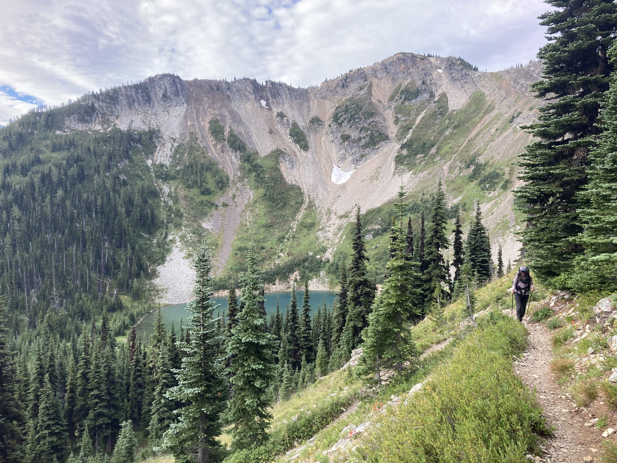
Eventually, we made it across the Pasayten River and headed up the East Fork of the Pasayten. We lost the trail many times along the way. Most of this section was completely burned. We camped in the ashes of the burn at the North end of Big Hidden Lake, as far away as possible from standing dead trees. What a day! We were glad to be in our sleeping bags and resting.
Day 9
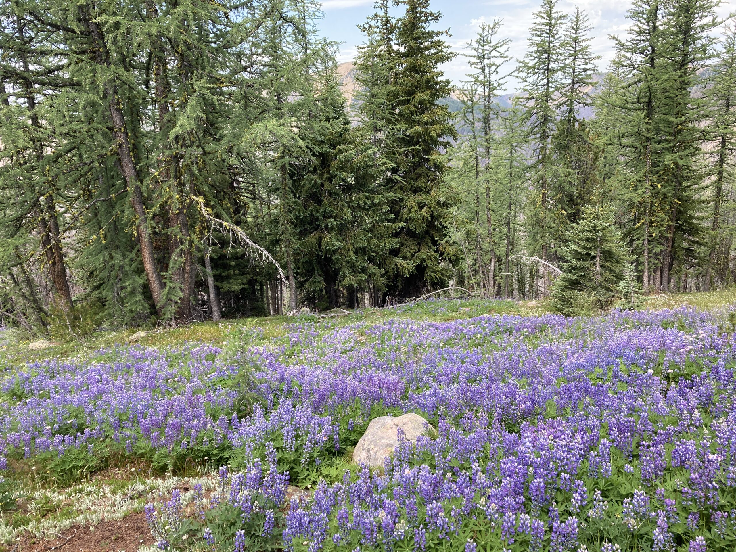
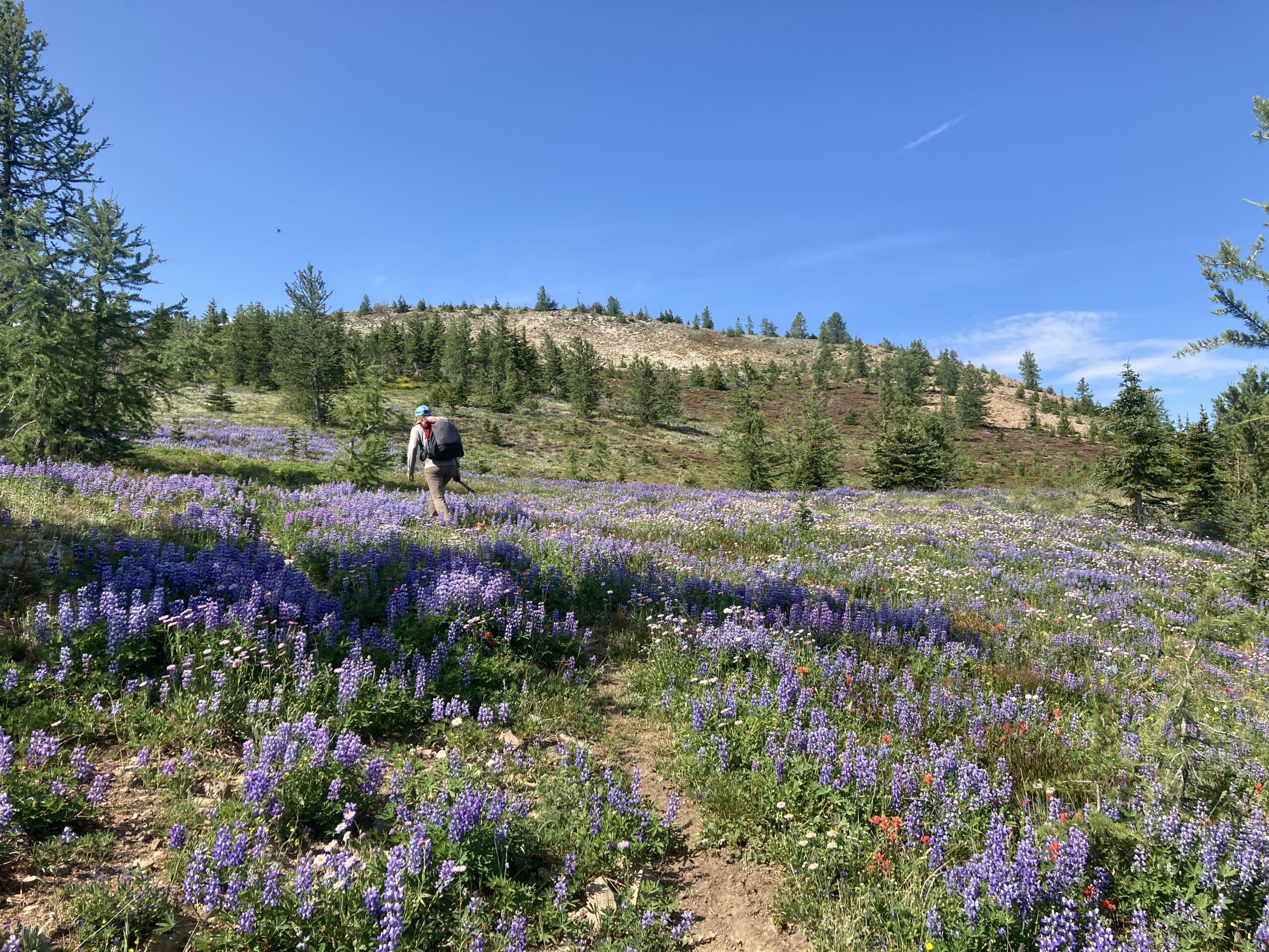
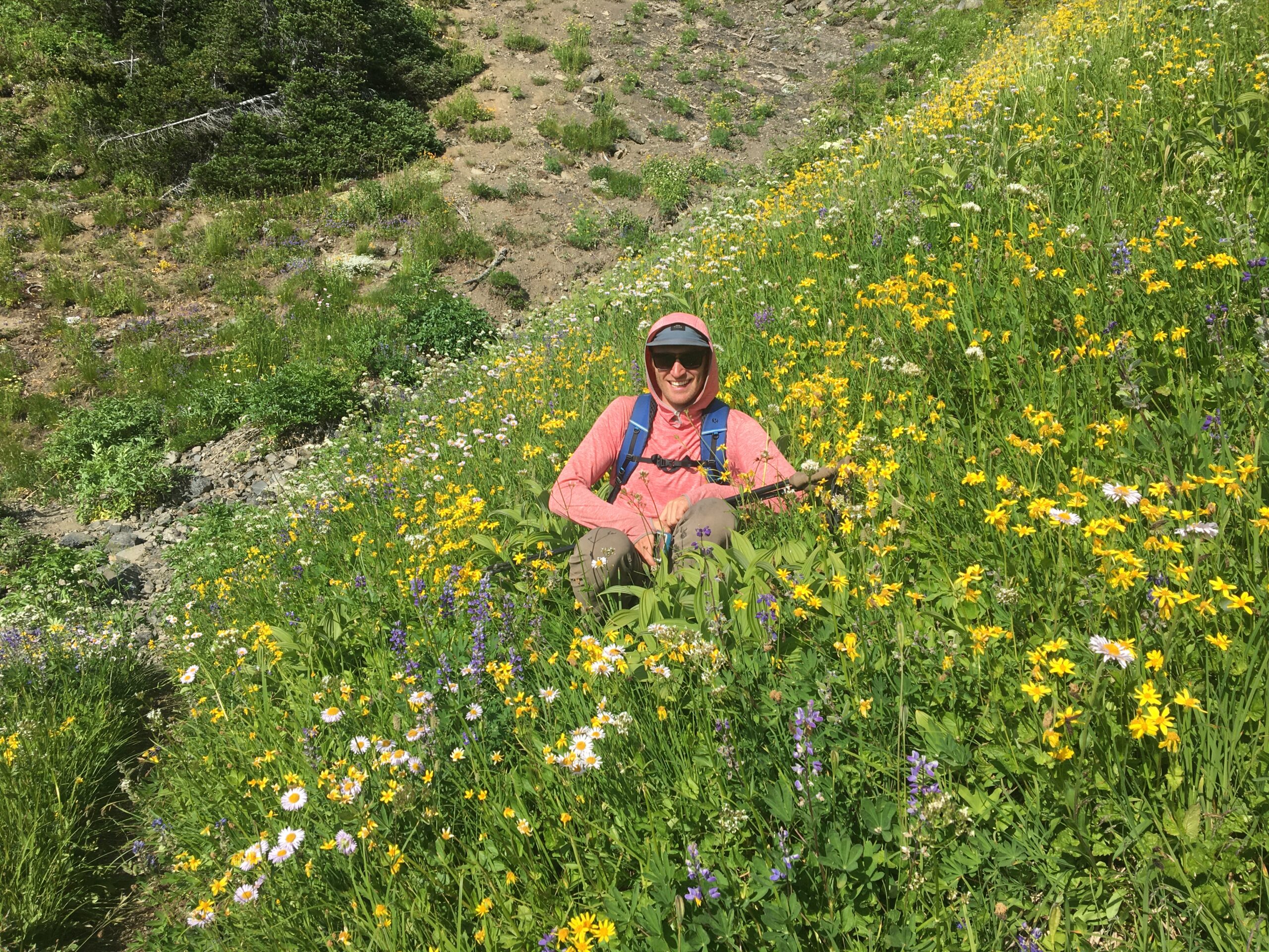
We woke up in the ashes of burned trees hopeful that today would bring some easier walking as we headed towards the Boundary Trail. The morning was filled with more downed trees as we worked our way up the steep, loose terrain towards Bunker Hill. Once we hit the Boundary Trail it was easy to follow most of the way from there. But, we came across a junction that was not on our maps. We ended up making a wrong turn and accidentally walking into Whistler Basin, over Whistler Pass and north towards Crow Lake. We weren’t positive of where we were exactly until we made it to the pass just south of Crow Lake. We weren’t too upset about these extra miles though. We ended up walking through some of the most amazing wildflowers we have ever seen! It turned out to be a lucky mistake. It started raining towards the end of the day and we were ready to get some sleep.

Day 10
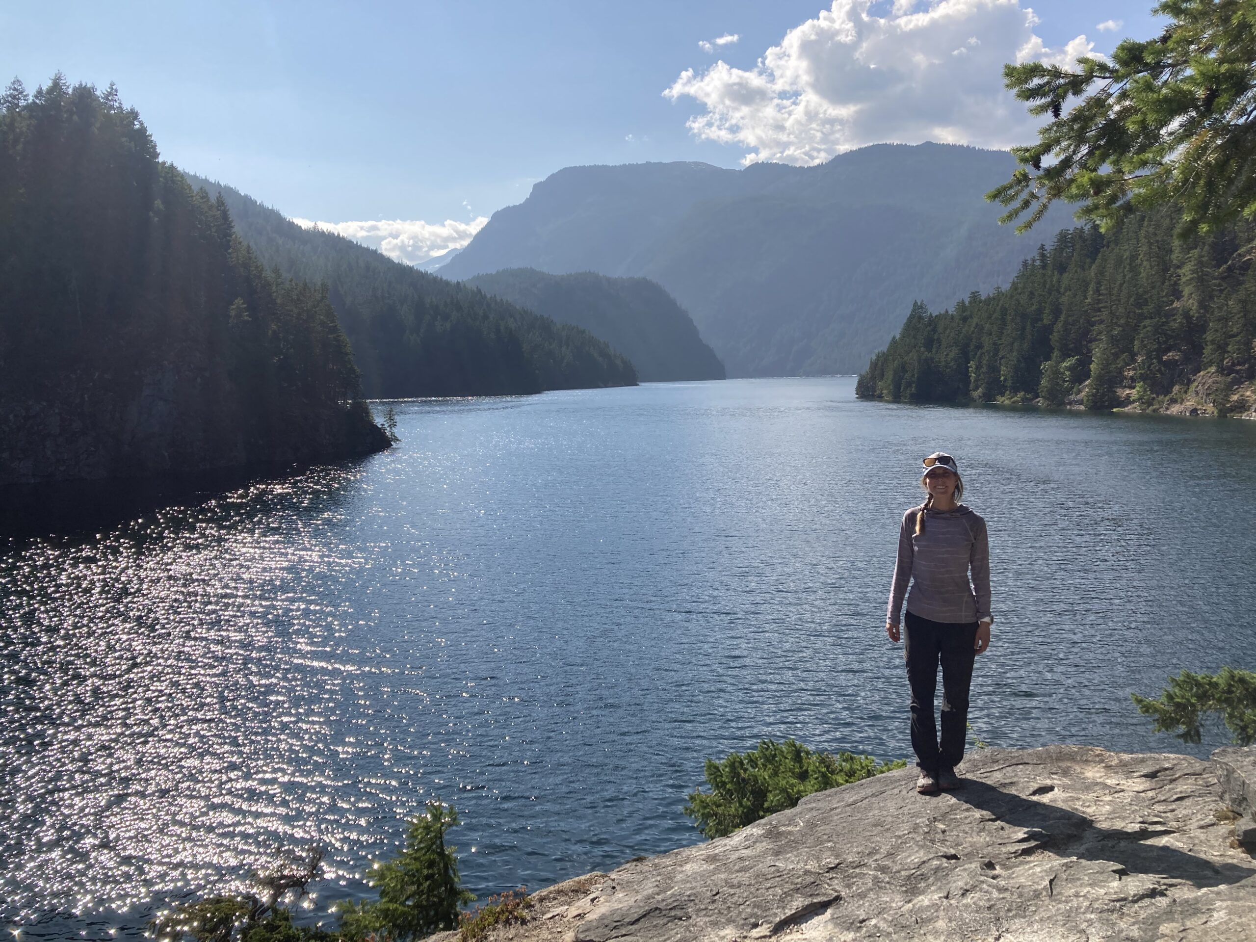
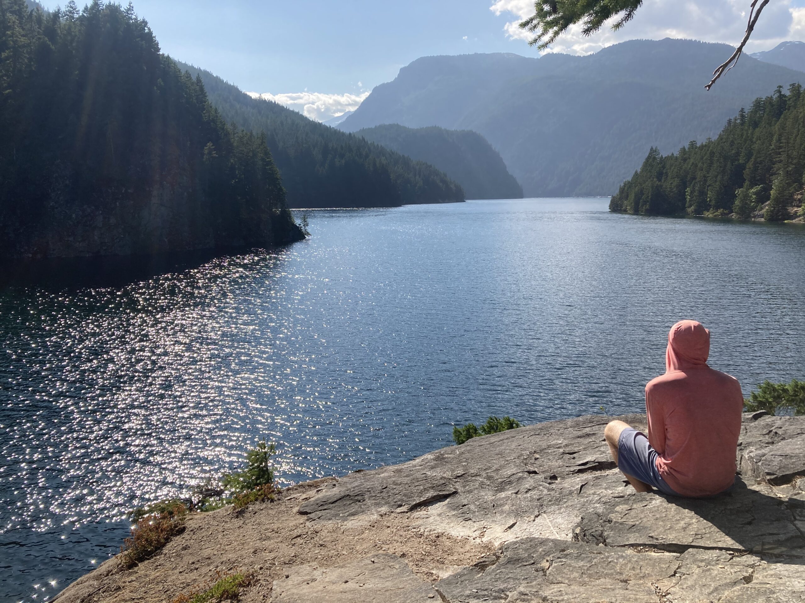
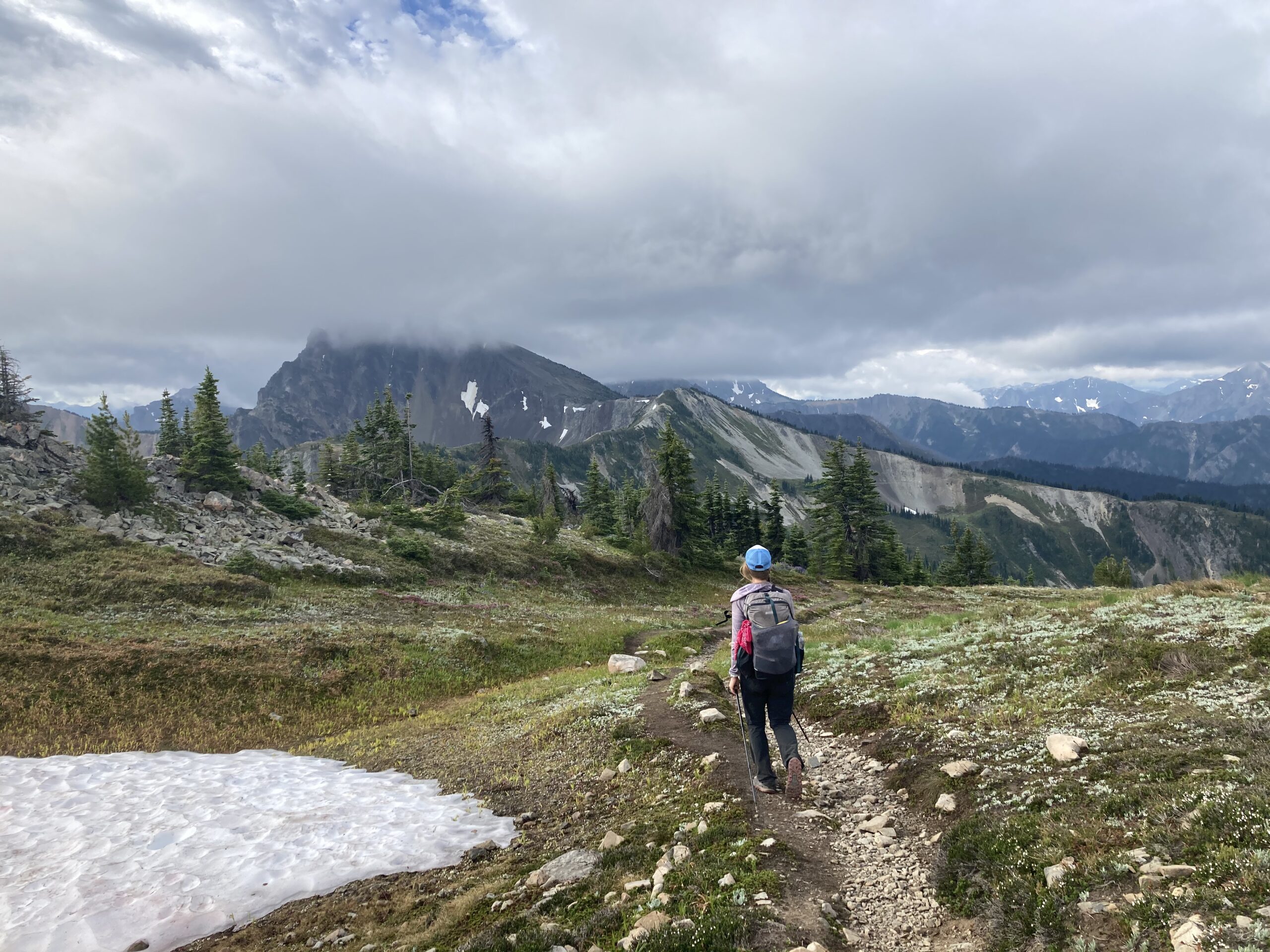
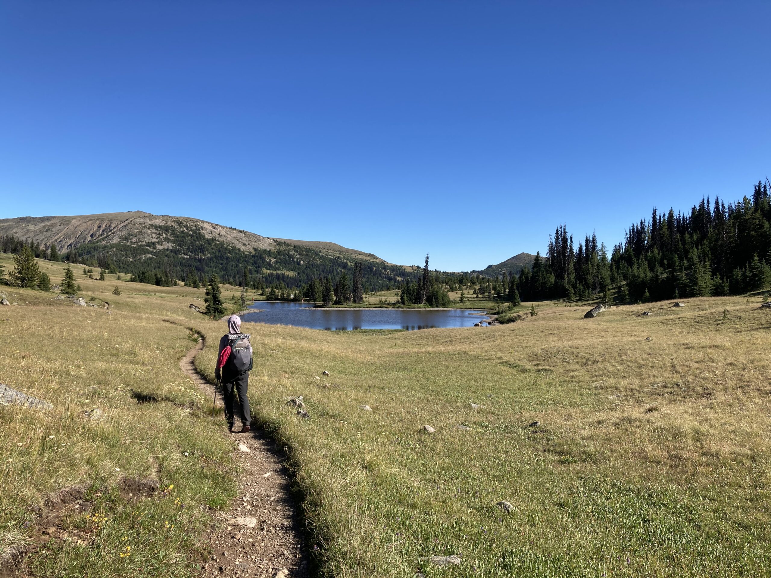
The clouds were swirling all throughout the morning as we walked towards Peeve Pass. The trail from the pass offered amazing views. As we dropped into the Ashnola River drainage the burned area returned, only this time offering ample opportunity for the overgrown bushes to coat our rain gear with the water from the storm the day before. Eventually, the storm clouds blew away and we had an amazing walk on the Boundary Trail the whole way to Upper Cathedral Lake. On Day 10, we ran into a big Pacific Northwest Trail (PNT) “bubble” of people. It was cool to hear some of their stories of the PNT. We had a bug filled night, but enjoyed the good camp spot that we found at Upper Cathedral Lake.
Day 11
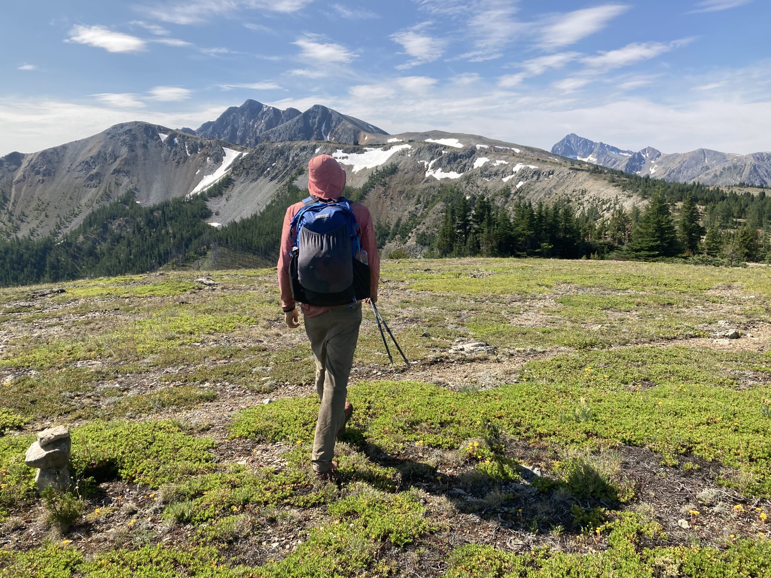
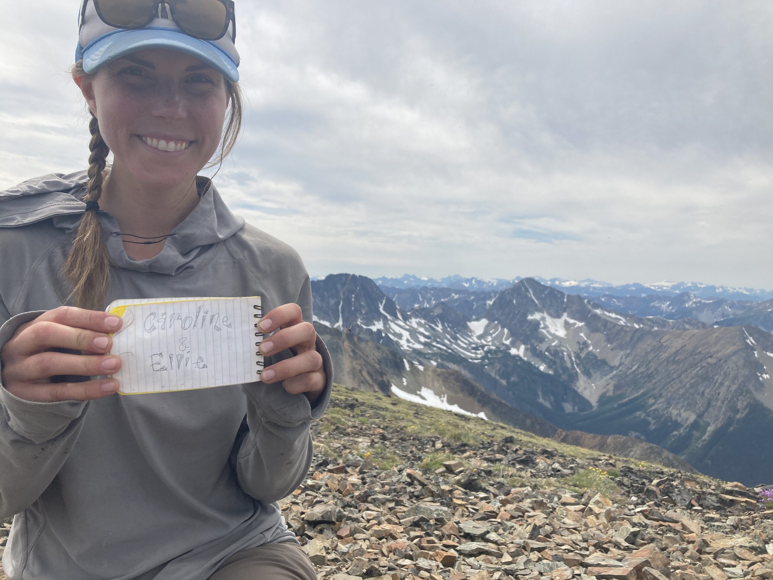
We woke up early for a sunrise-ish climb of Cathedral Peak. We had attempted to climb Cathedral Peak on an earlier trip in May. But at that time it was snowing and the rock was icy at the infamous “big step” so we had turned around. We moved quickly up the first part of the climb, got to the “big step,” took a deep breath and hopped across. Not that bad! What a great way to start the day. We scrambled back down to our camp, packed up, and hit the trail. We continued to walk along the Boundary Trail following it all the way to Sunny Pass where we set up camp for the night. Such a great day with light backpacks and perfect weather.

Day 12
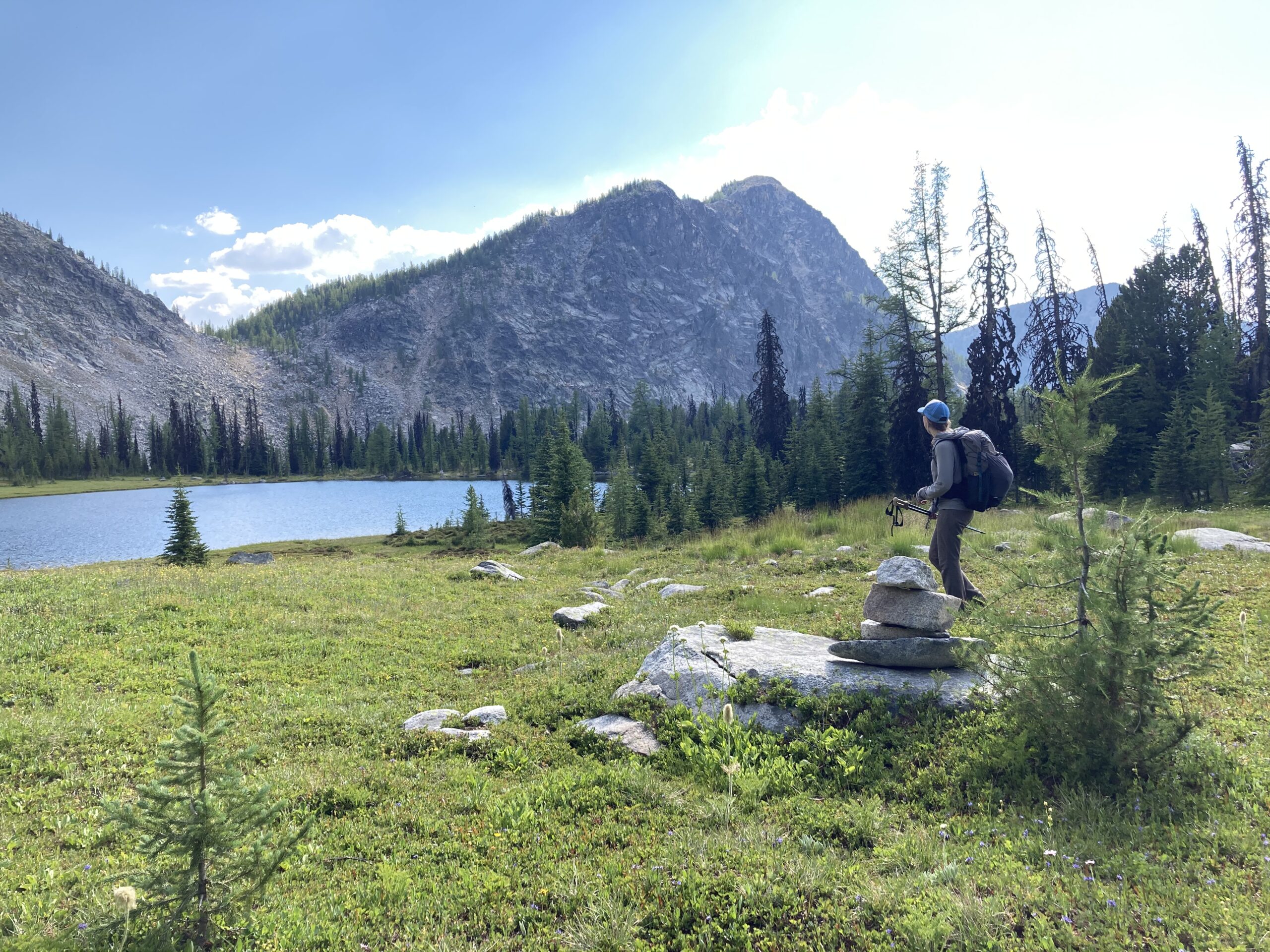
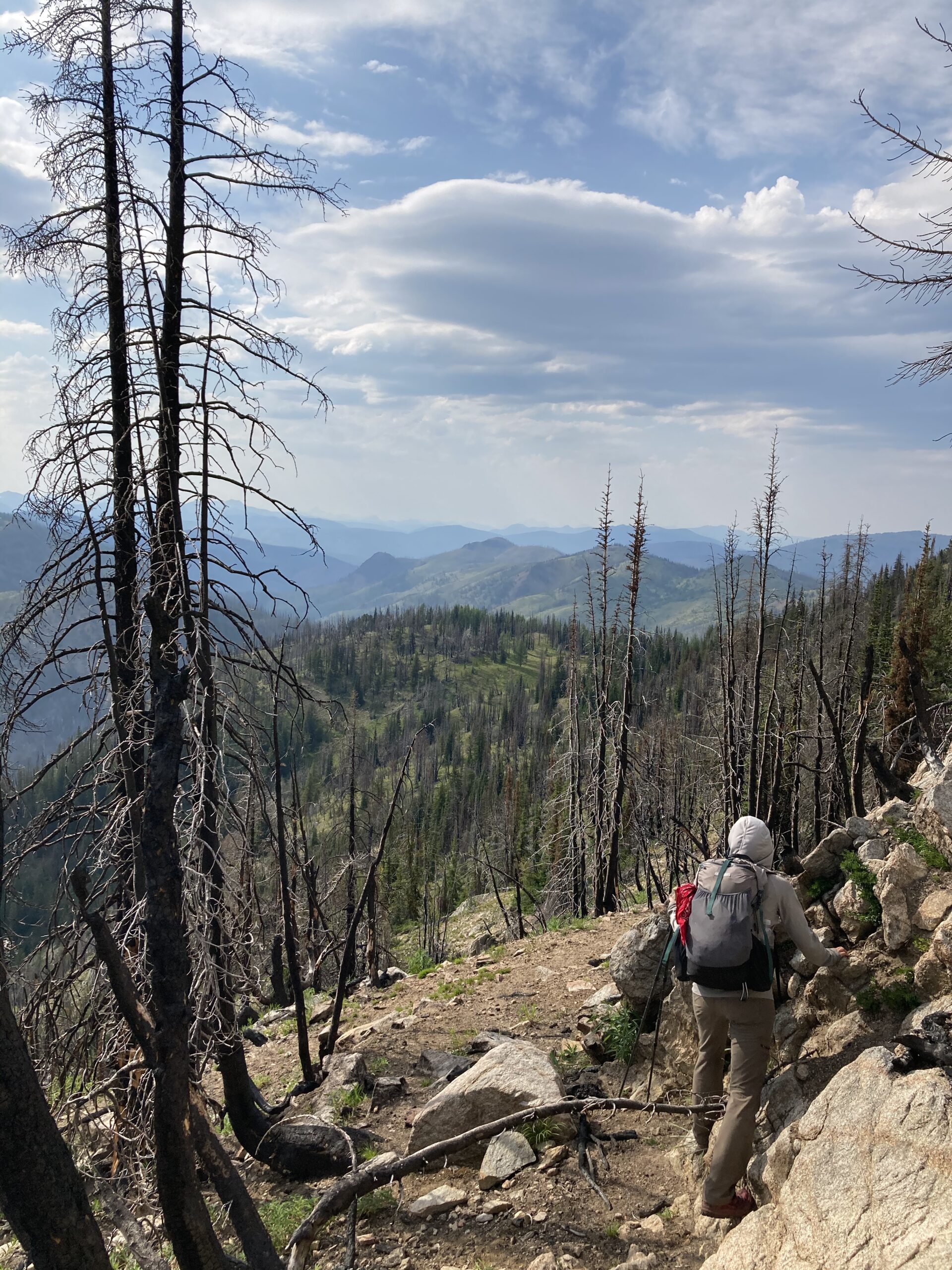
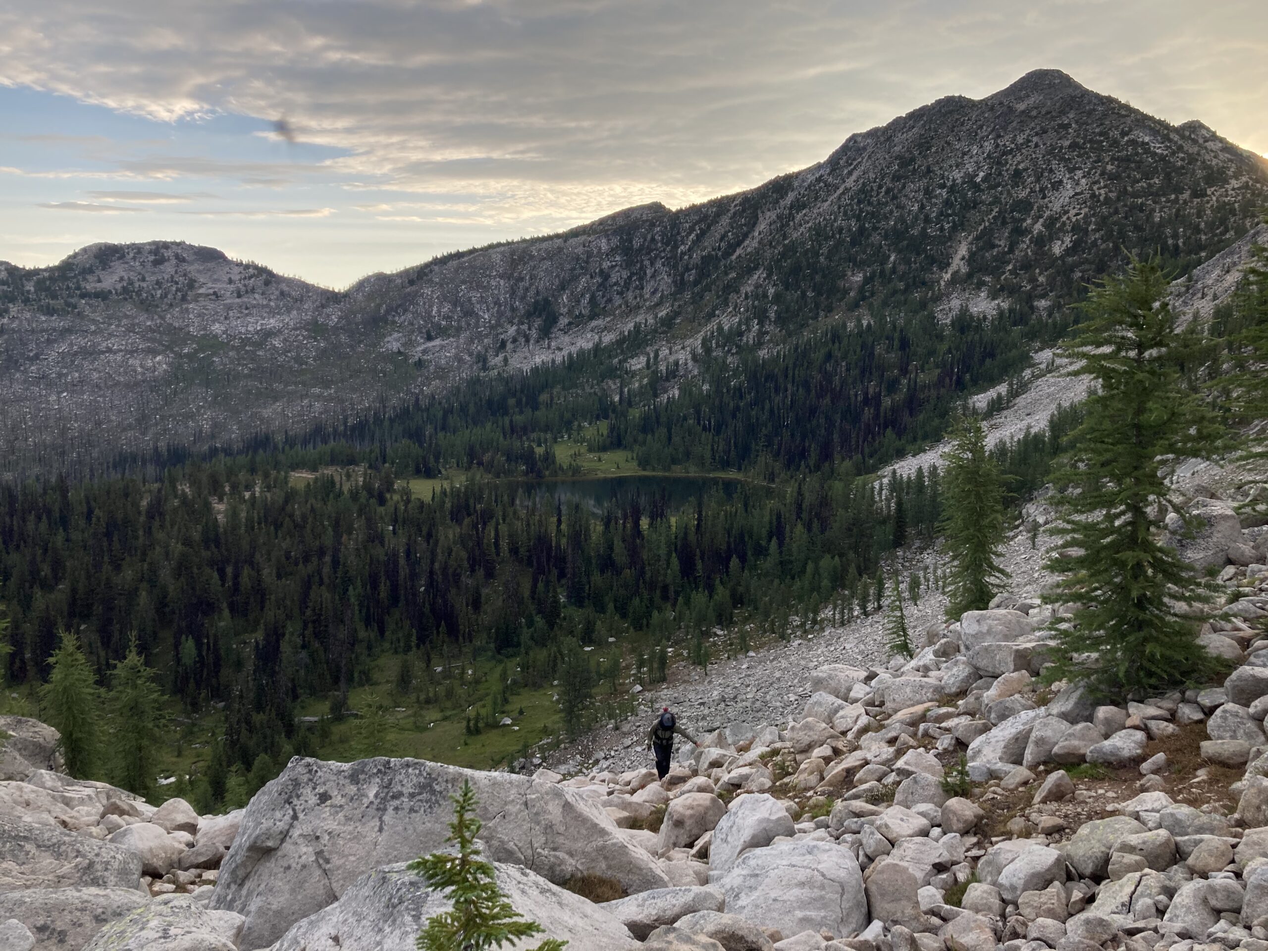
Another summit was planned for the morning. We dropped our packs and walked up Windy Peak which was beautiful with stunning views. It was great to look back and see much of the route we had just walked. After some time on the summit, we headed back down and caught the trail down towards the Chewuch River. This trail was there but almost completely impossible to follow due to hundreds of fallen trees. Some of the worst downed trees we had seen the whole trip. Eventually, we made it down to the main trail and had a leisurely walk up to Four Point Lake where we camped for the night. The last time we had been at this lake in May, it was completely snow covered and we couldn’t even see the water. It was great to see it again in such different conditions.
Day 13
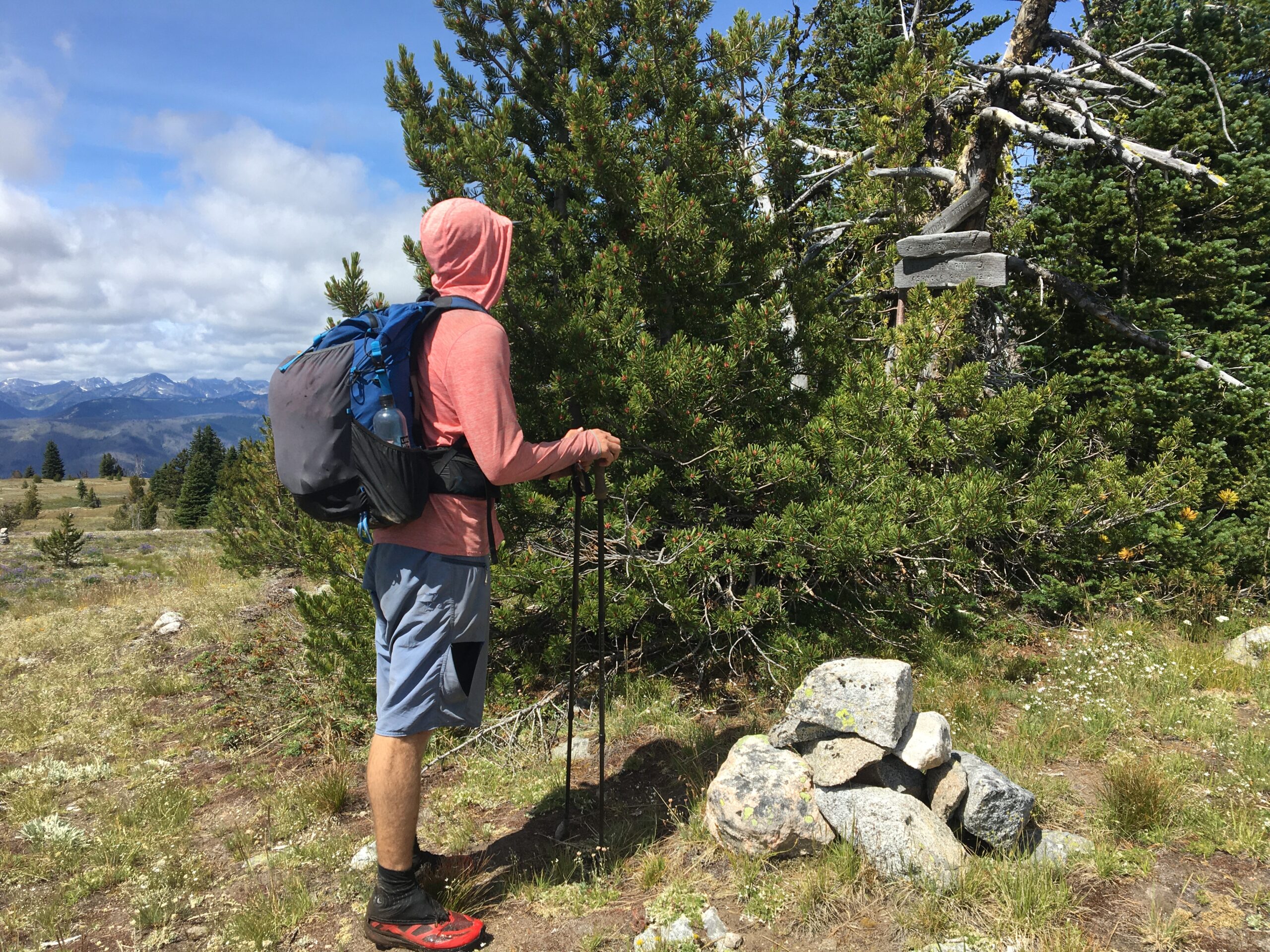
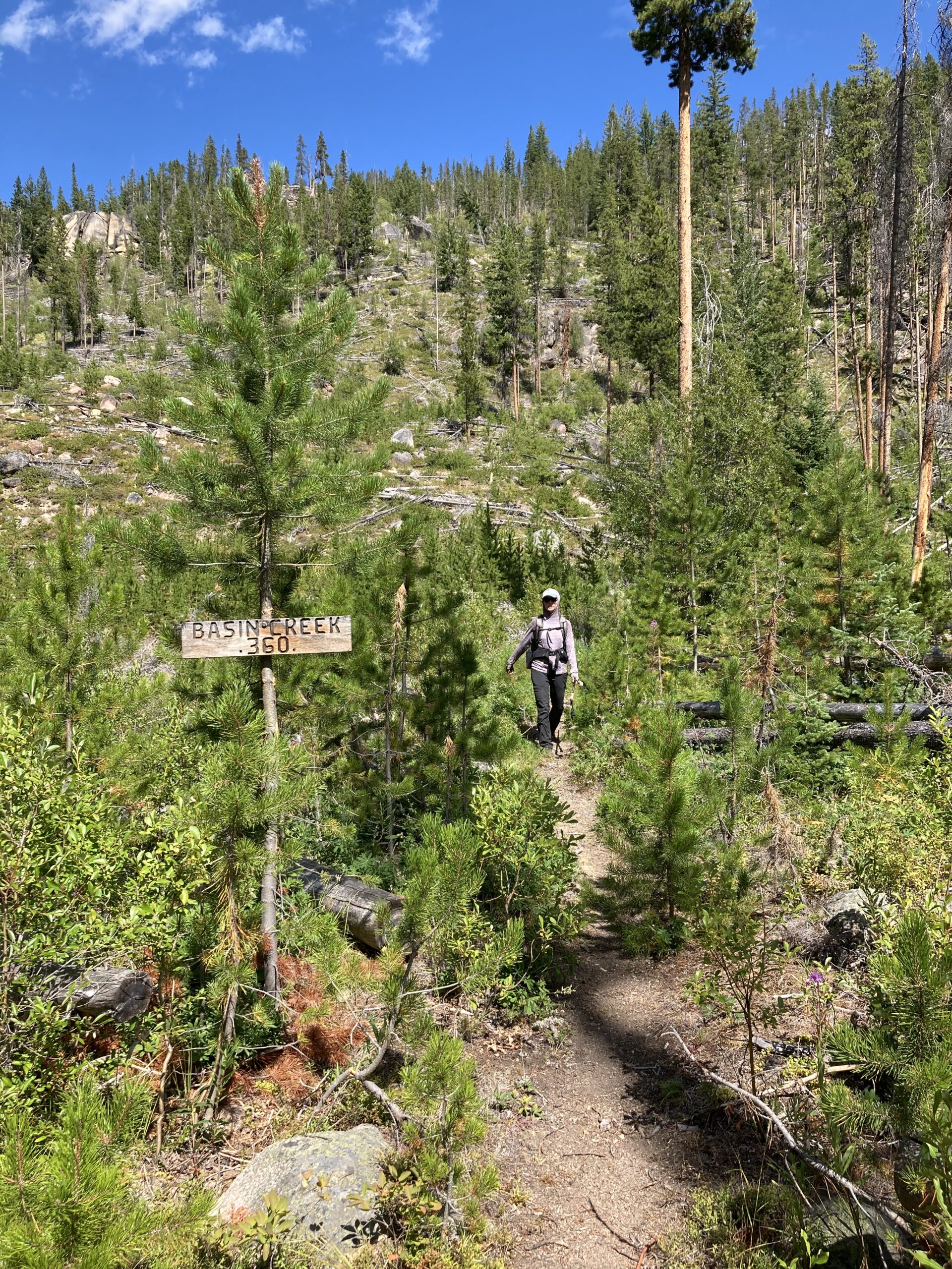
The first bit of trail along Coleman Ridge was beautiful and cairned some of the way. Once we turned east into the Fire Creek drainage it became a burned area and the trail was hard to follow. Luckily, the junction to turn back south was marked with a cairn and a campsite. After getting to the pass north of Vic Meadow the trail turned west and somebody had chopped little blazes into trees along the way. These markings and a few cairns marked the way to Meadow Lake. Once at Meadow Lake, the trail heading west had many fallen trees towards the top, but it was obvious a trail crew had recently put in some work at the bottom. It looked like they must have spent weeks clearing hundreds of trees. Many thanks to all the people doing that work! We hit the main trail at Andrews Creek, turned left, and hiked back to our car at the trailhead.
What a trip we had. So much rugged and beautiful terrain in the Pasayten. Even though we saw a lot, there is so much more to see. We are excited to spend more time in this wilderness area in the future. We are happy to answer any questions about our trip — trail conditions or otherwise. Thanks for reading!

Logistics
We couldn’t find a lot of information out there about the Cougar Traverse. To start, we found Cristof Tuescher’s account of his Fastest Known Time and route information to be helpful and also very entertaining to read. The NWhikers forum/blog has a wealth of information for almost anything related to Washington hiking. Here you could find information from folks who have spent countless hours in the areas where the route travels.
We didn’t have the book where the route was originally outlined. It may be worth purchasing Mike Woodmansee’s Trekking Washington book on it to get as much information as possible before you start.
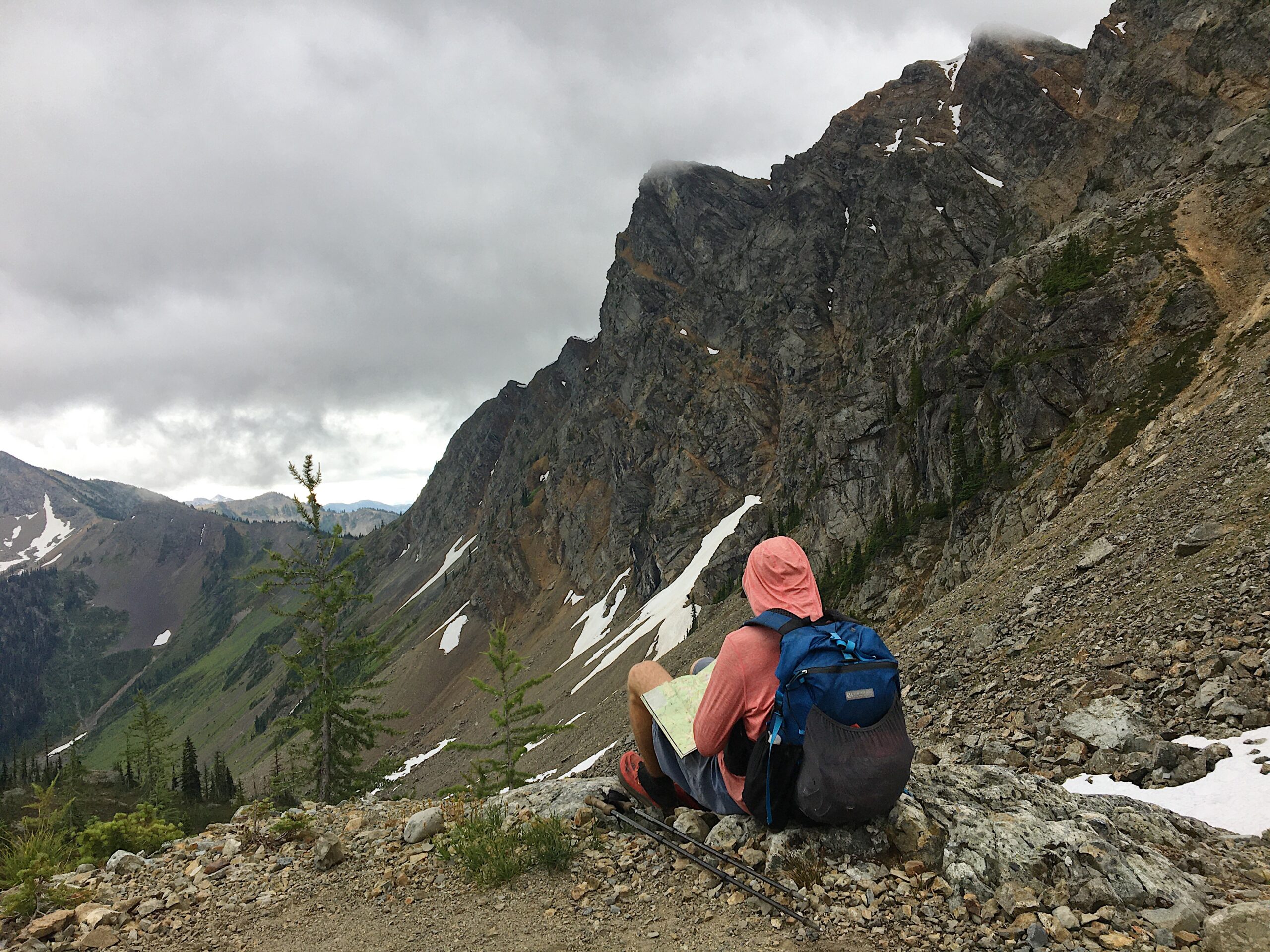
We took notes on trail conditions and a few other things that we found along the way if you would like to take a look at the Map of the route above for more information. Remember, this information is from August 2020….so it could be completely inaccurate when you go as things change quickly from season to season.

Maps & Navigation
The maps that we used were just basic overview maps of the Pasayten Wilderness. We used the National Geographic Trail Illustrated Map #223 of North Cascades National Park and the Adventure Maps version of the Methow Valley. These two maps covered the entire 242 mile loop and seemed to work fairly well for us. We did not look into purchasing the USGS Quadrangles. That strategy would have given much more detail but would require carrying an inordinate amount of maps, so we decided against it.
We do not use a GPS or Navigation Apps for personal hiking. For all of our trips we prefer to use map and compass. But of course this is personal preference. For the Cougar Traverse you could use a GPS in combination with the two overview maps and be well covered.
Resupplies
There aren’t many great options to resupply on the Cougar Traverse. The route doesn’t cross any roads, except for the one you start and end on, so resupplying will likely require some outside help. You may be able to stash food at a trailhead, or meet up with someone to resupply. That call is up to you.
We did the Cougar Traverse in 13 days with a self supported resupply part way. We read somewhere that the guidebook recommends 10 days to do the traverse, but don’t quote us on that since we didn’t actually have the guidebook. Travel may have been easier (i.e. no fallen trees because of wildfires) when the book was written. The choice is yours — carry lots of food and hope to make your intended miles — or try to work out a resupply somewhere along the way.
Perhaps these logistical hangups are why many people don’t do the Cougar Traverse in one push.
Transportation
This route is a loop. So, you just need to make it to one trailhead to start and finish. There is no public transportation in the area to any of the trailheads along the route, so we suggest driving your own vehicle or planning a ride with someone.

Direction
What direction should you hike this loop? There are a few options…you could hike it all in one direction, switch part way through at the overlap of the eight, or you could do two separate loops of some form. Be creative. We decided to walk as much of the southern section of the route as we could at the beginning since we knew it had the most fallen trees and wanted to do that feeling fresh.
Here are some questions to consider:
-
Do I have a resupply? Where is that and how do I want to incorporate that in my direction of travel?
-
How heavy will my pack be and what terrain do I want to travel across while my pack is heavy and while my pack is light? Especially if I am carrying ALL of my food from the beginning.
-
Am I planning on stashing food while I walk and coming back to pick it up later in the trip? Will I need to visit a spot twice to make this work? Maybe consider a figure eight style direction.
When to Hike
The best time for the Cougar Traverse is most likely August to September, in peak summer season for backpacking in the North Cascades. Although, if you wanted you could probably push either side of that timeframe. The ideal window to hike (for us) is when the snow has melted and trail crews have cleared what they can on the more popular trails (THANK YOU to trail crews). This will minimize your time spent walking, jumping, crawling (and eventually hobbling) over downed trees throughout the 242 miles. We hiked this route in the first two weeks of August. The bugs tend to be more prevalent in late summer (and they were definitely out for us), so maybe a little later in the season would be more ideal to avoid that. Who knows.
Permits & Other Requirements
To park your car at any of the possible trailheads you will need a Northwest Forest Pass. You’ll also need a permit for your time around Ross Lake because its technically in the North Cascades National Park Service Complex. Check out the North Cascades National Park website for details on how to obtain a permit. The Pasayten Wilderness only requires overnight visitors to sign the trailhead register — if there is one.
Resources & Links
Photo Gallery