Olympic National Park Loop
140Miles
7Days
Aug 24, 2017
↓
Sep 5, 2017
↓
Sep 5, 2017
Loop
Quick Links
Map
Trail Overview
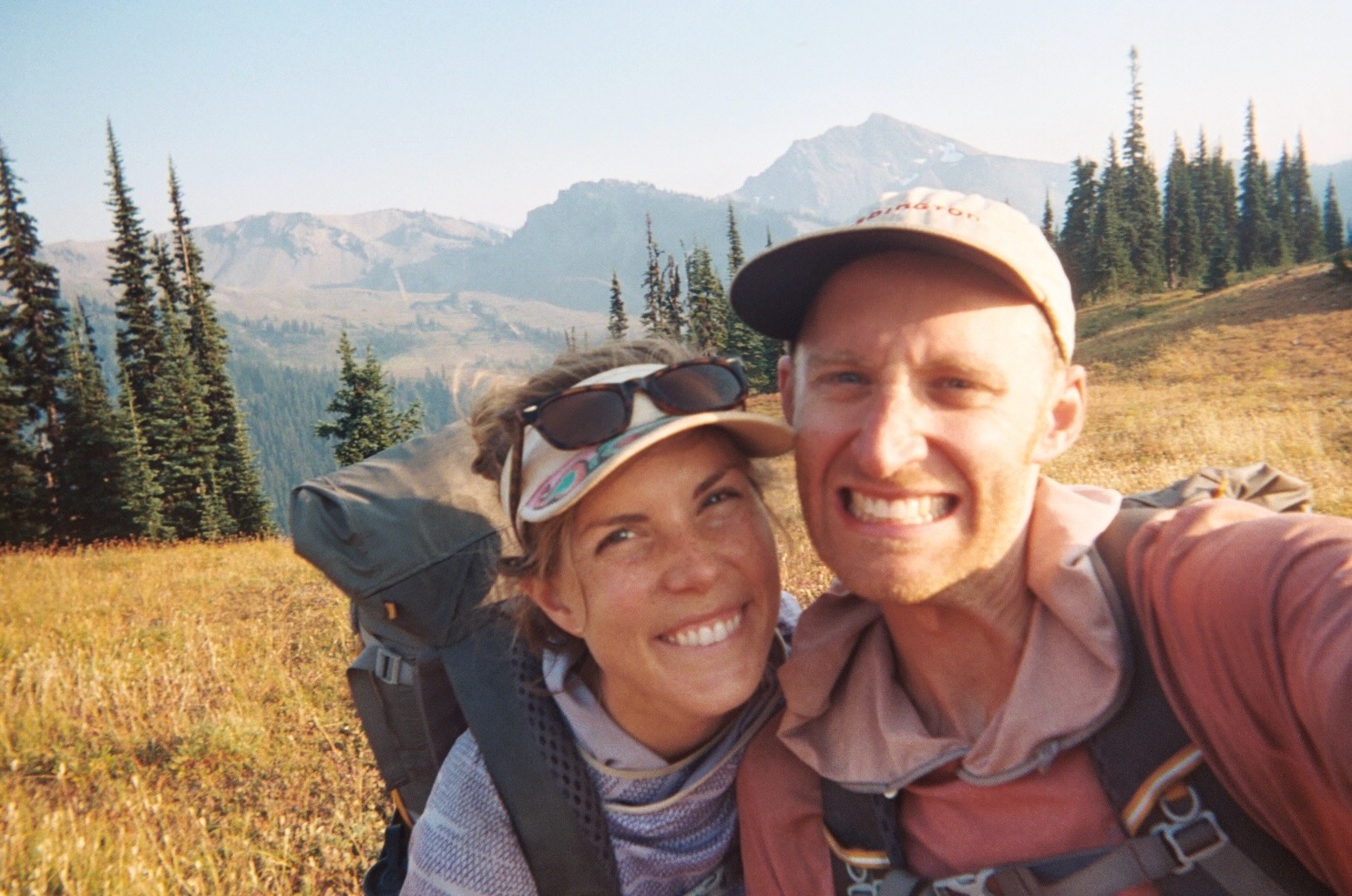
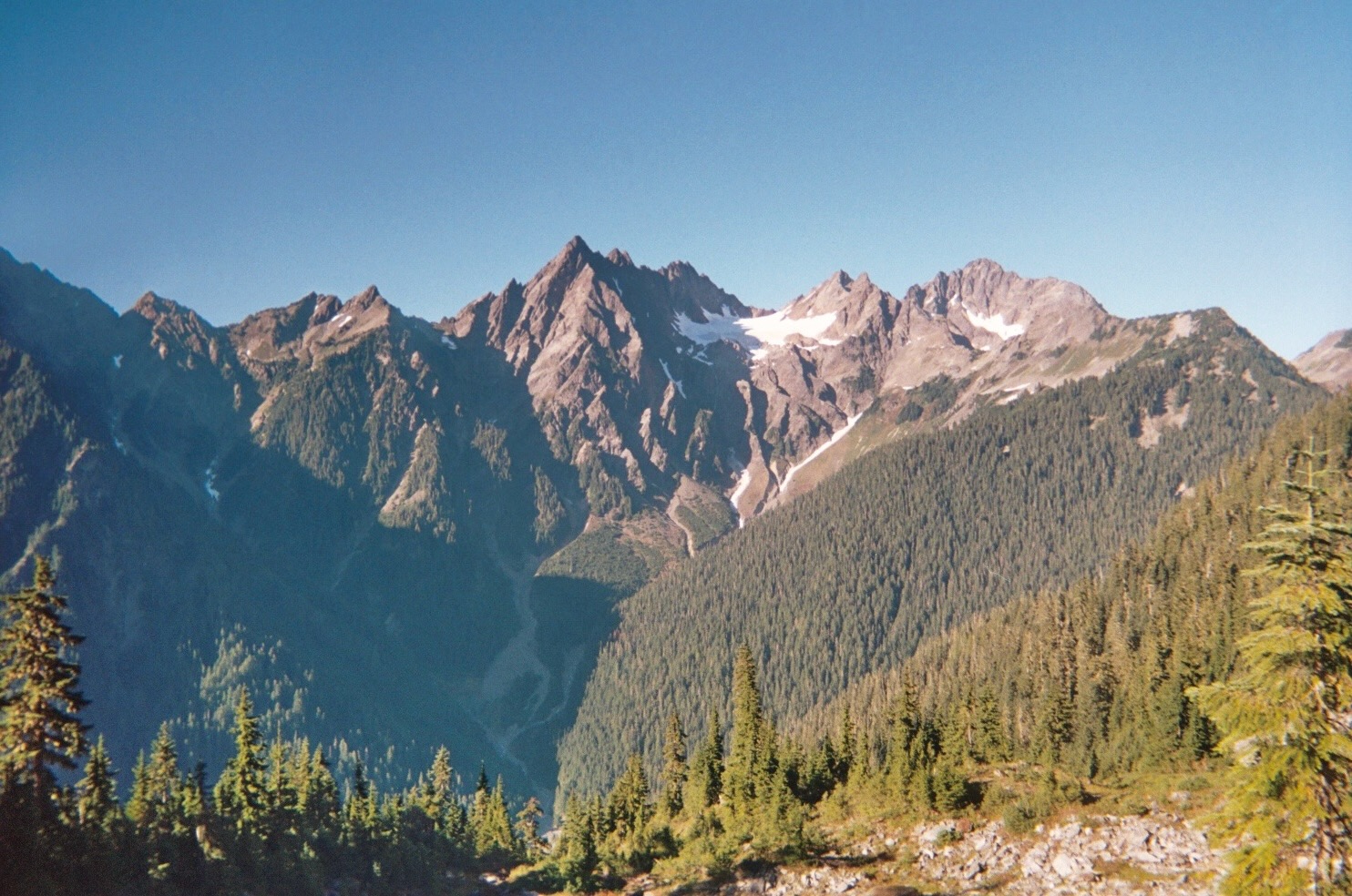
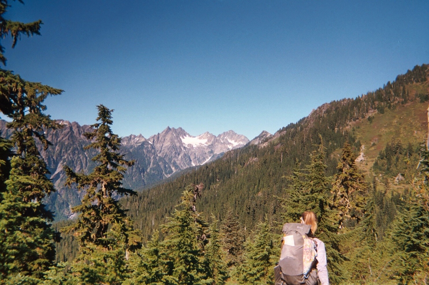
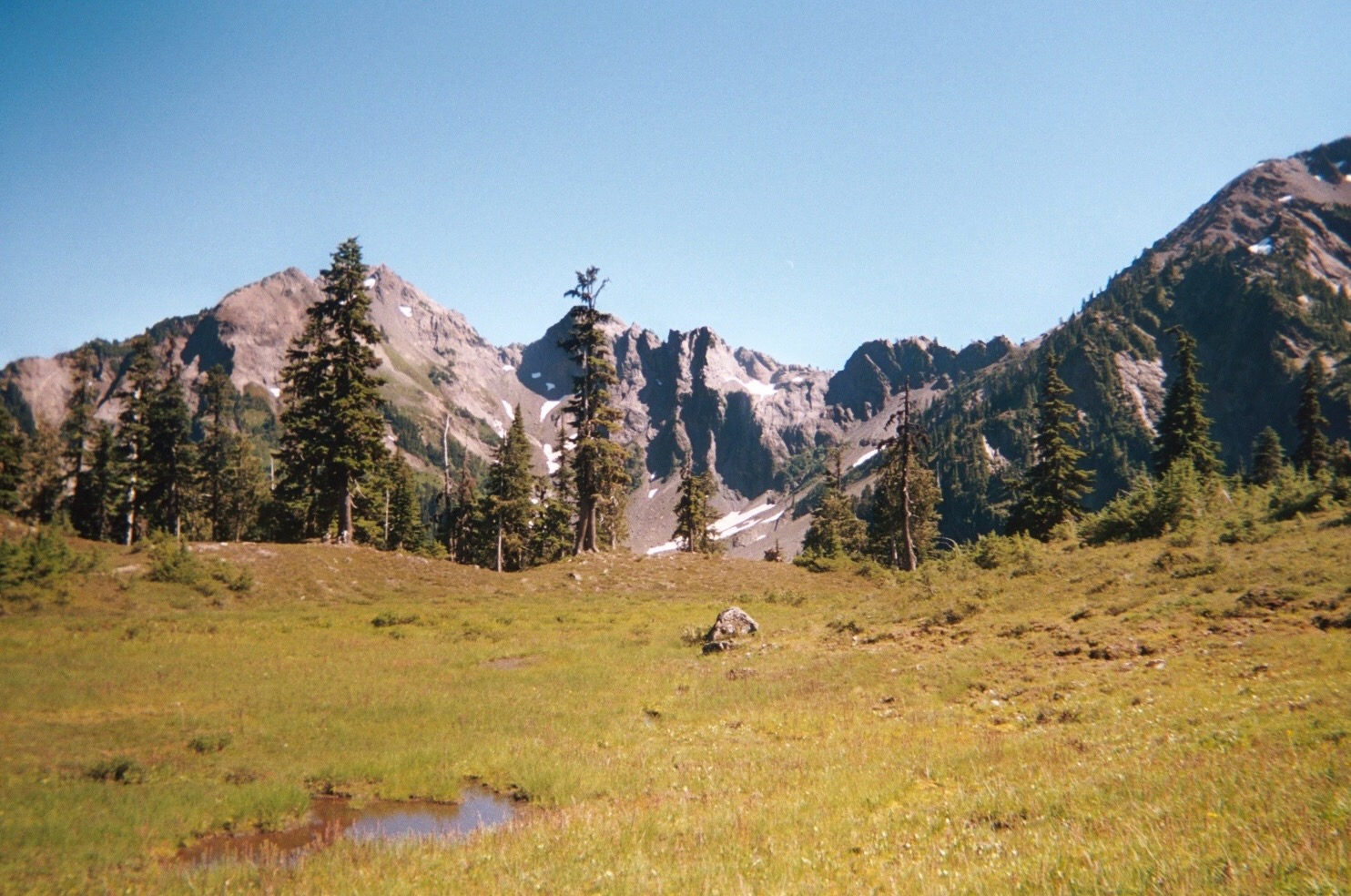
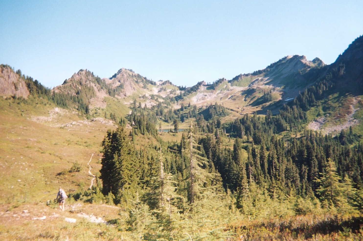
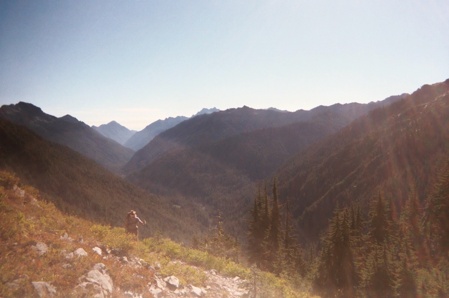
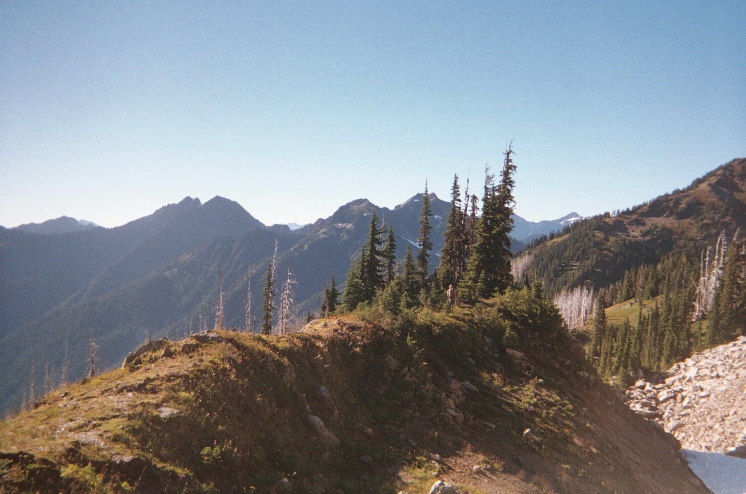
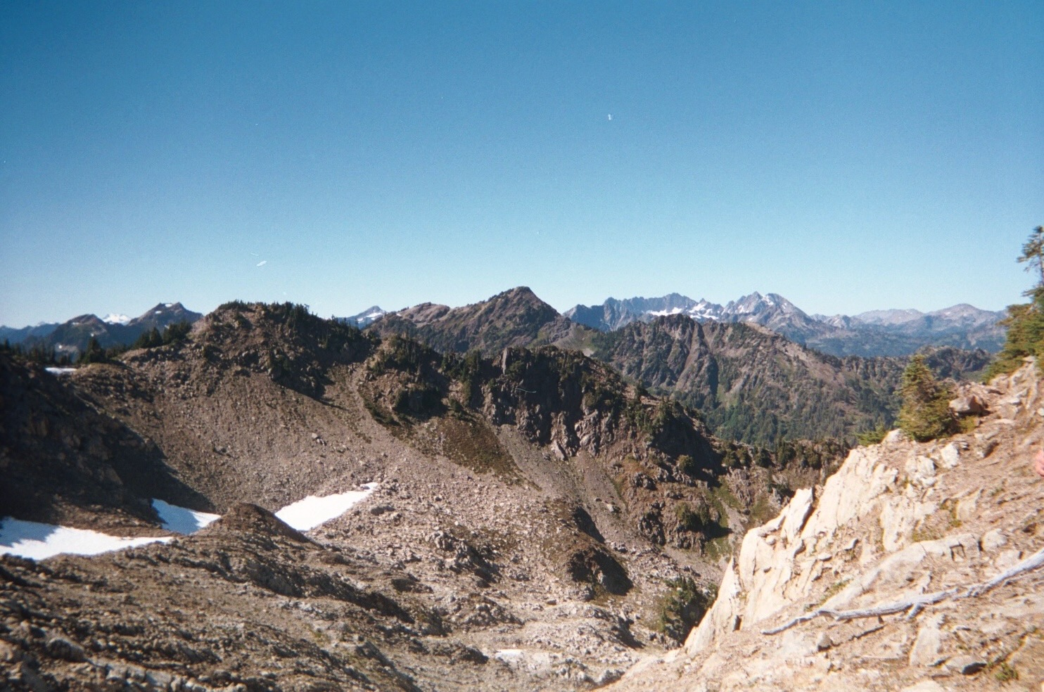
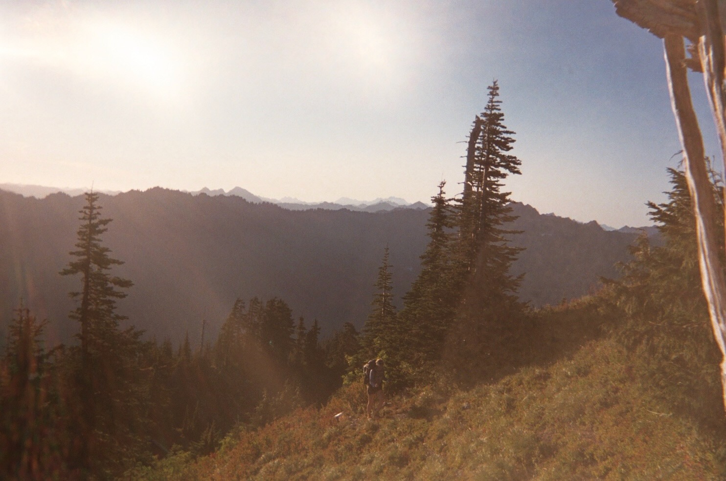
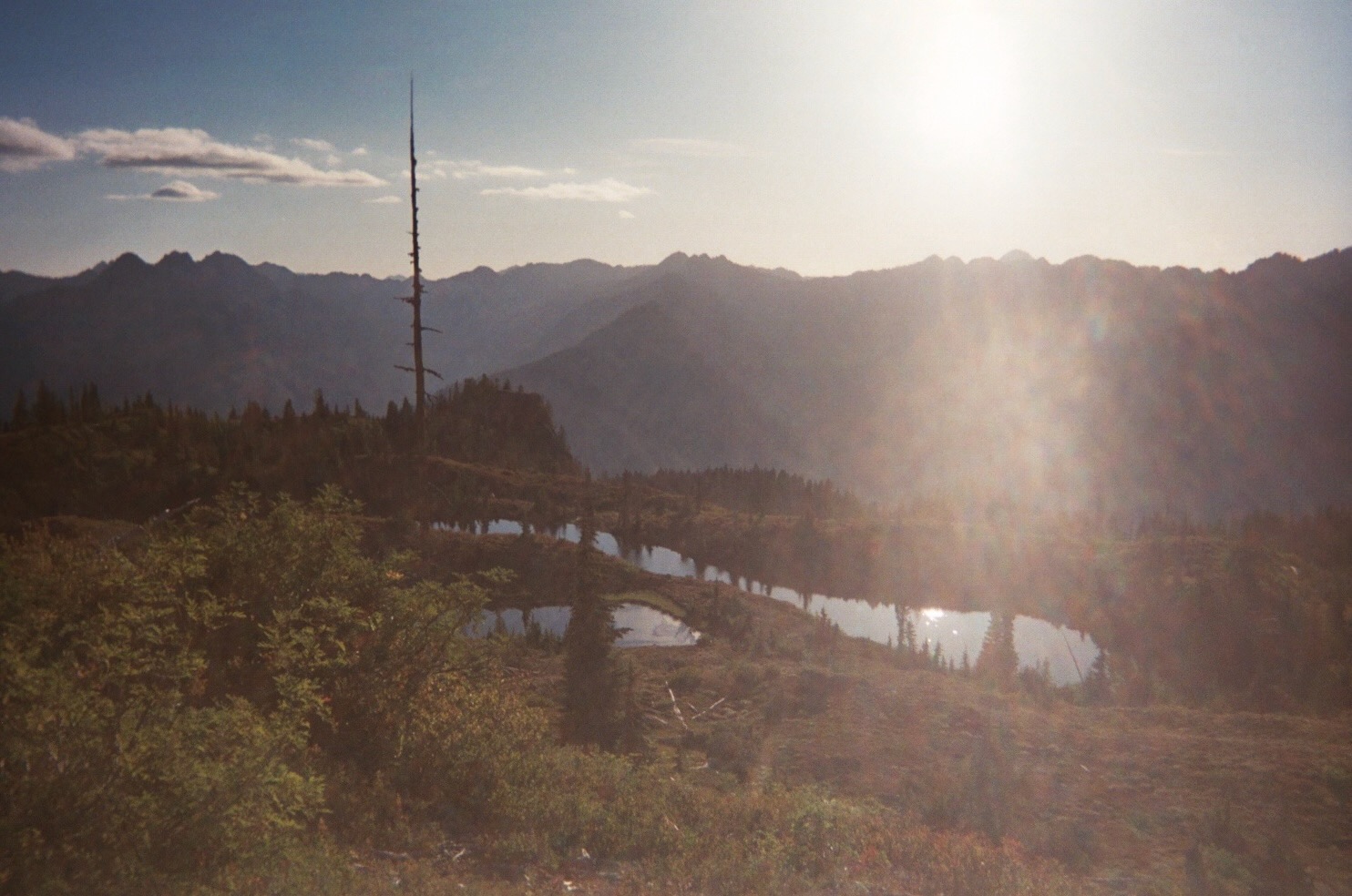
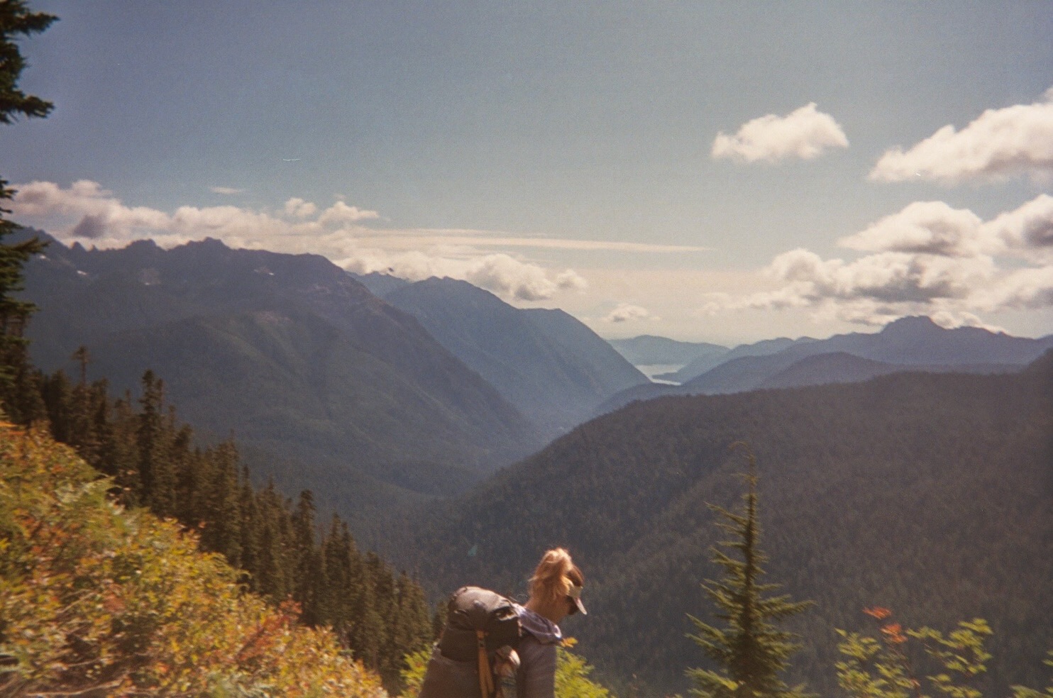
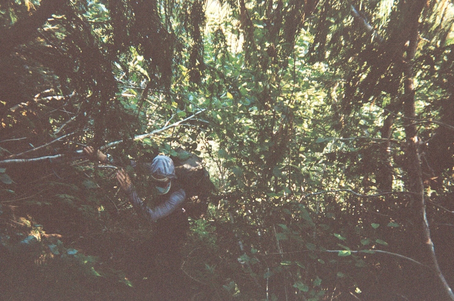
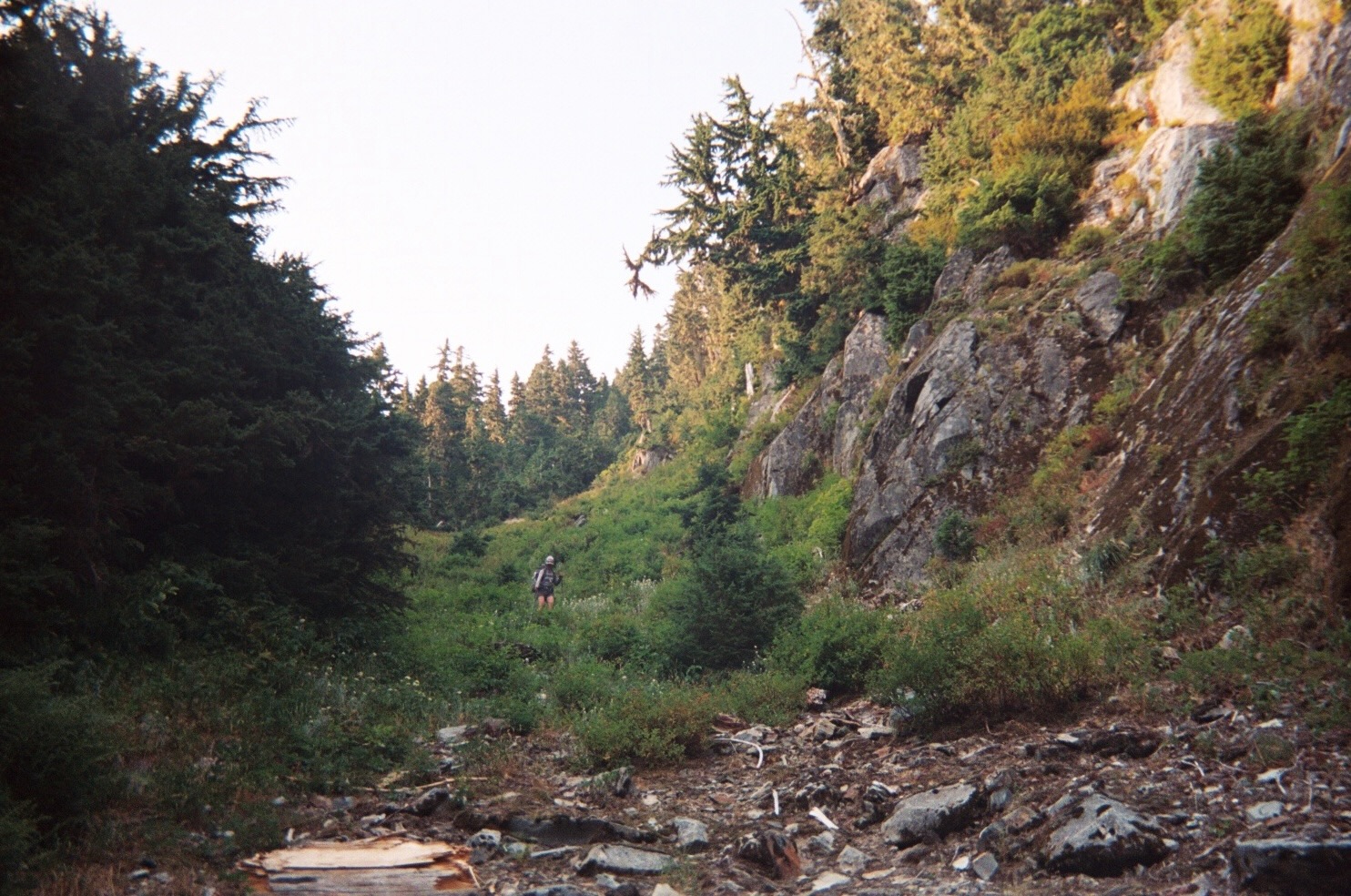
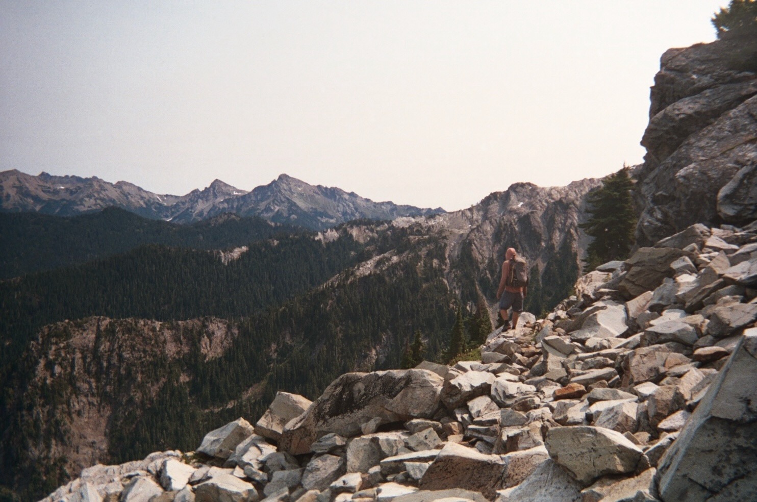
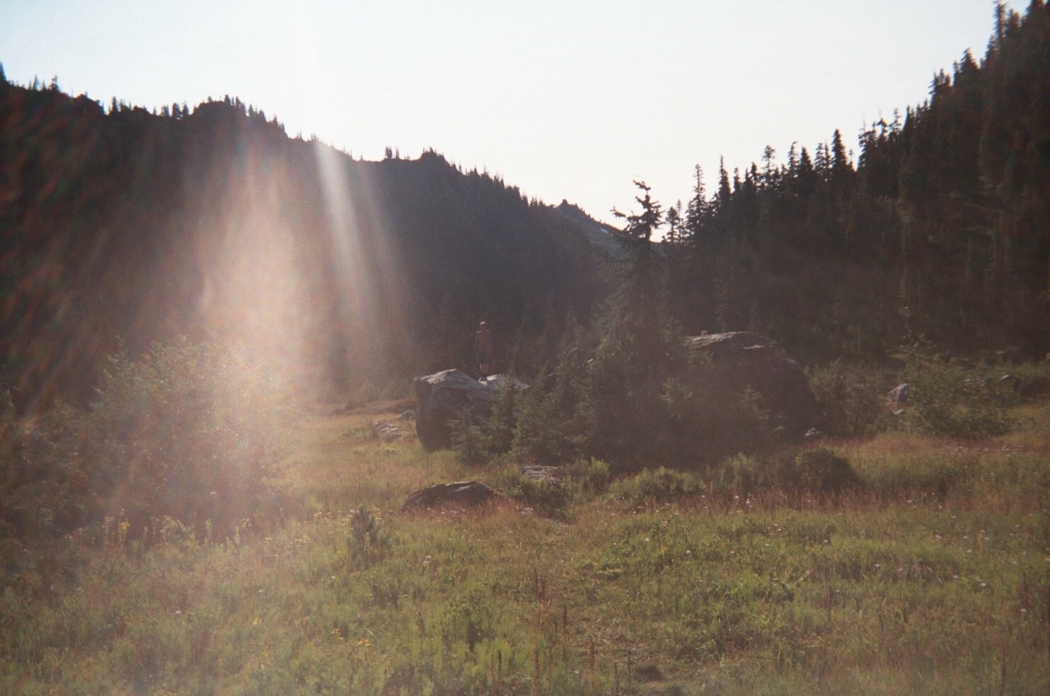
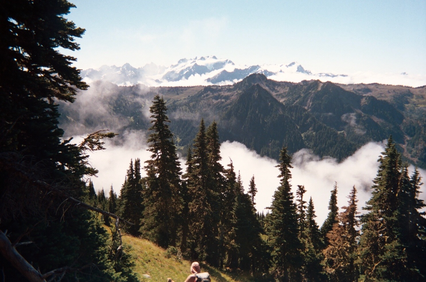
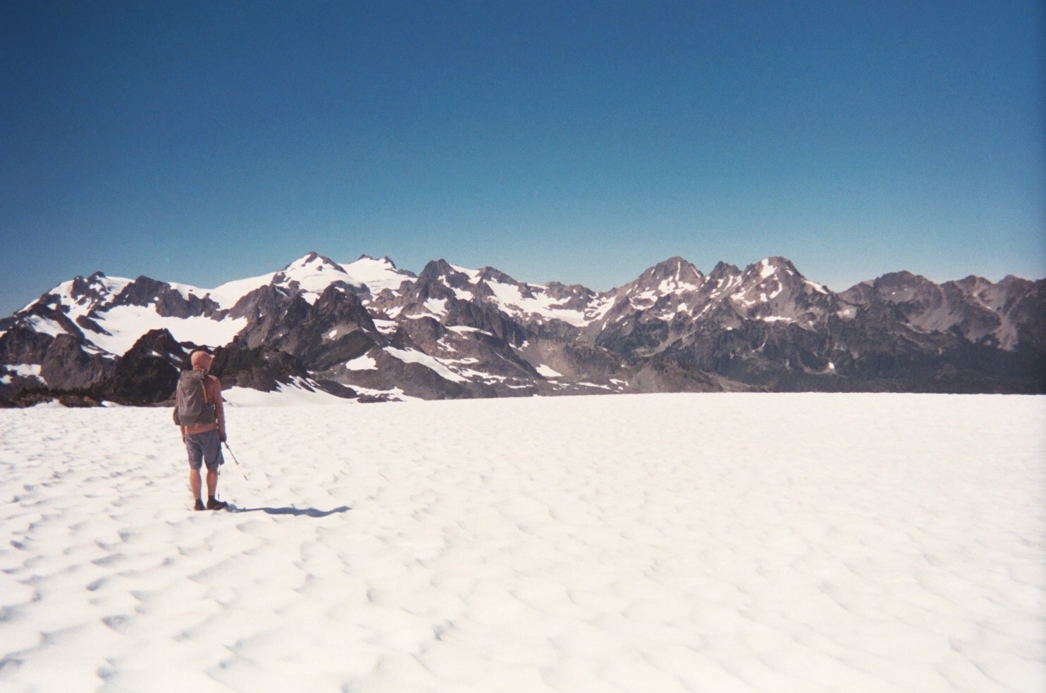
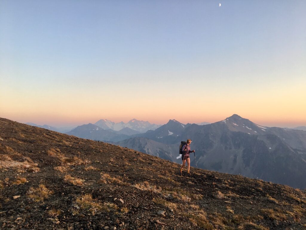
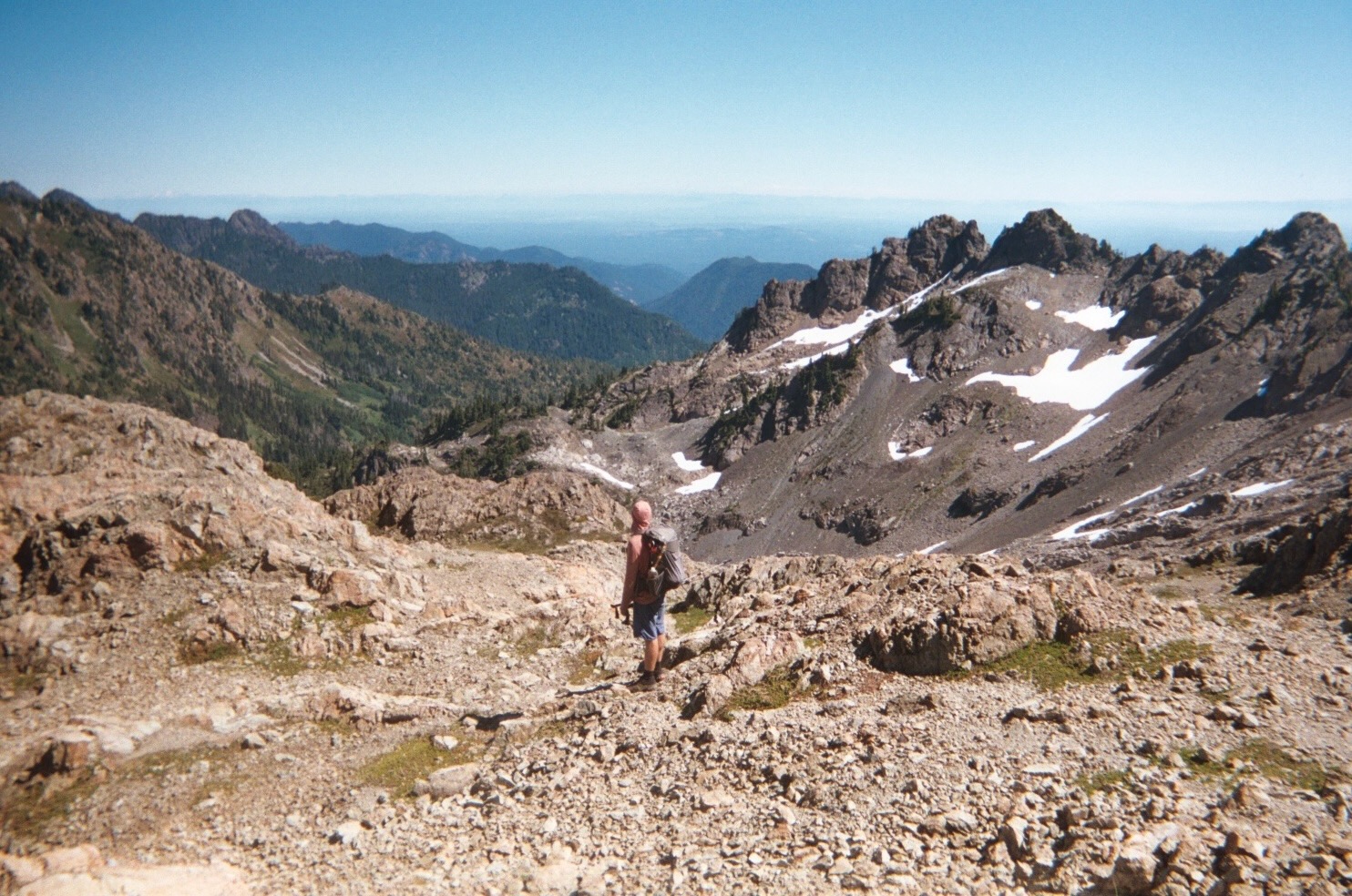
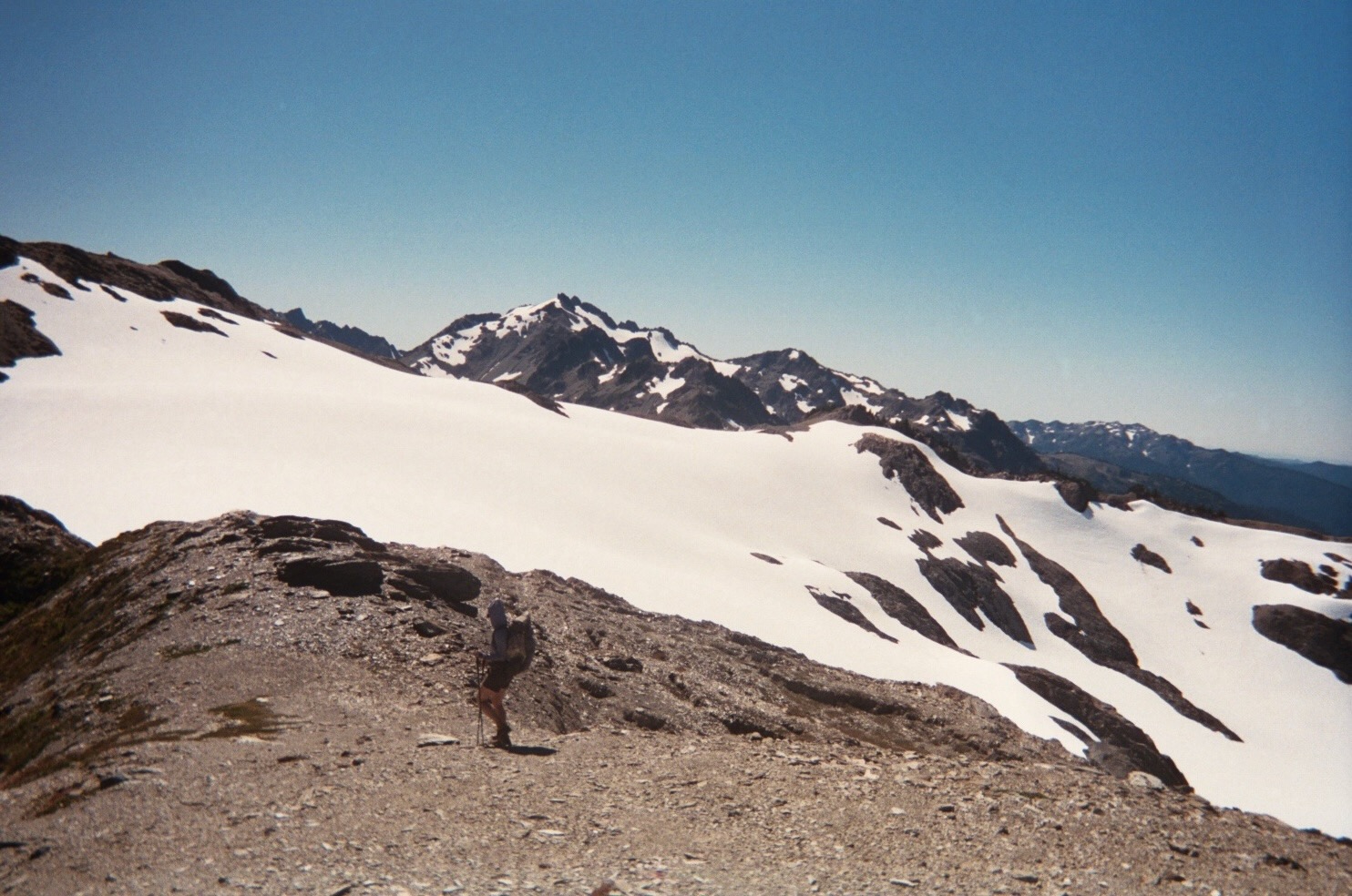
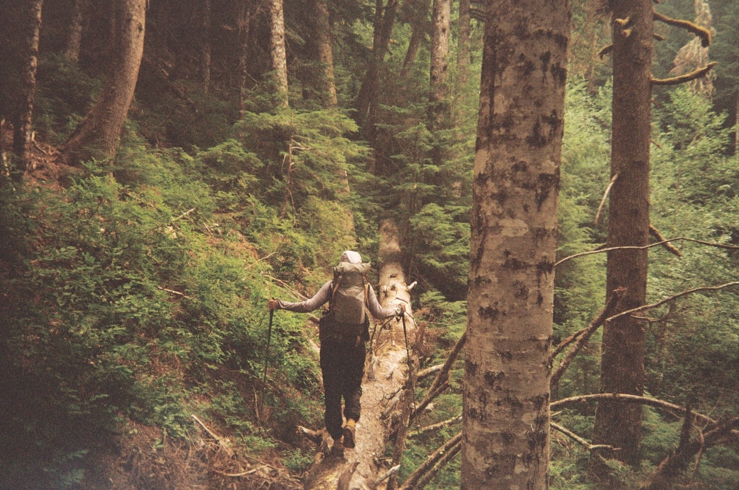
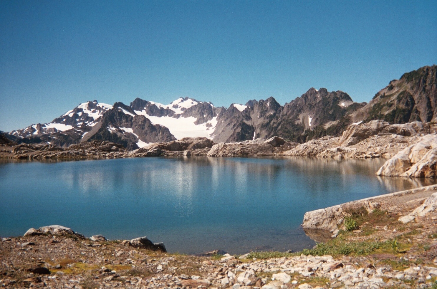
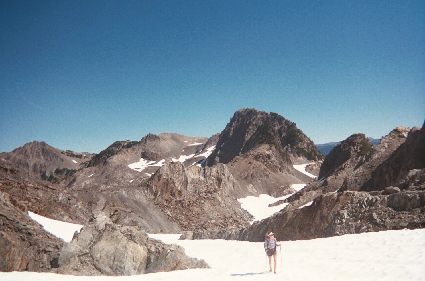
We spent some time earlier in 2017 researching off trail routes through the Olympics and stumbled across the Climber’s Guide to the Olympics Guidebook, which identifies a few high alpine traverses in the park. We were feeling inspired from our experience on the Sierra High Route, and we thought it could be interesting to map out all the routes and then try and connect them. The general feel of the route was a south to north traverse of ONP piecing together some trails and off trail sections from the Skokomish-Hamma Hamma and the Dosewallips-Dungeness sections of the guidebook, then traversing back north to south via the Bailey Range Traverse (among other things). We had a timeframe of 14 days to be in the wilderness with an estimated 140 miles to cover.

Experience
The route we planned was definitely ambitious. While we were researching the area, Jeff spoke on the phone with Barefoot Jake, a local blogger and avid adventurer on the Olympic Peninsula to gather information and he mentioned that the route sounded close to impossible. It turned out he was right! We changed our itinerary multiple times during the trip due to a few short impassable off trail sections.
Despite these changes and setbacks, for us, one of the best parts of backpacking is being able to put ourselves out there in uncomfortable positions and learn more about ourselves and our enviornment when we have to be flexible to navigate these challenges.
If you have any interest in reading the full trip report. You can read it here. The report outlines a little bit of our experience each day – with some of the many incredible, hard, and awesome things that happened out there. Don’t hesitate to reach out to us if you would like any more information or have any questions.


Resources & Links
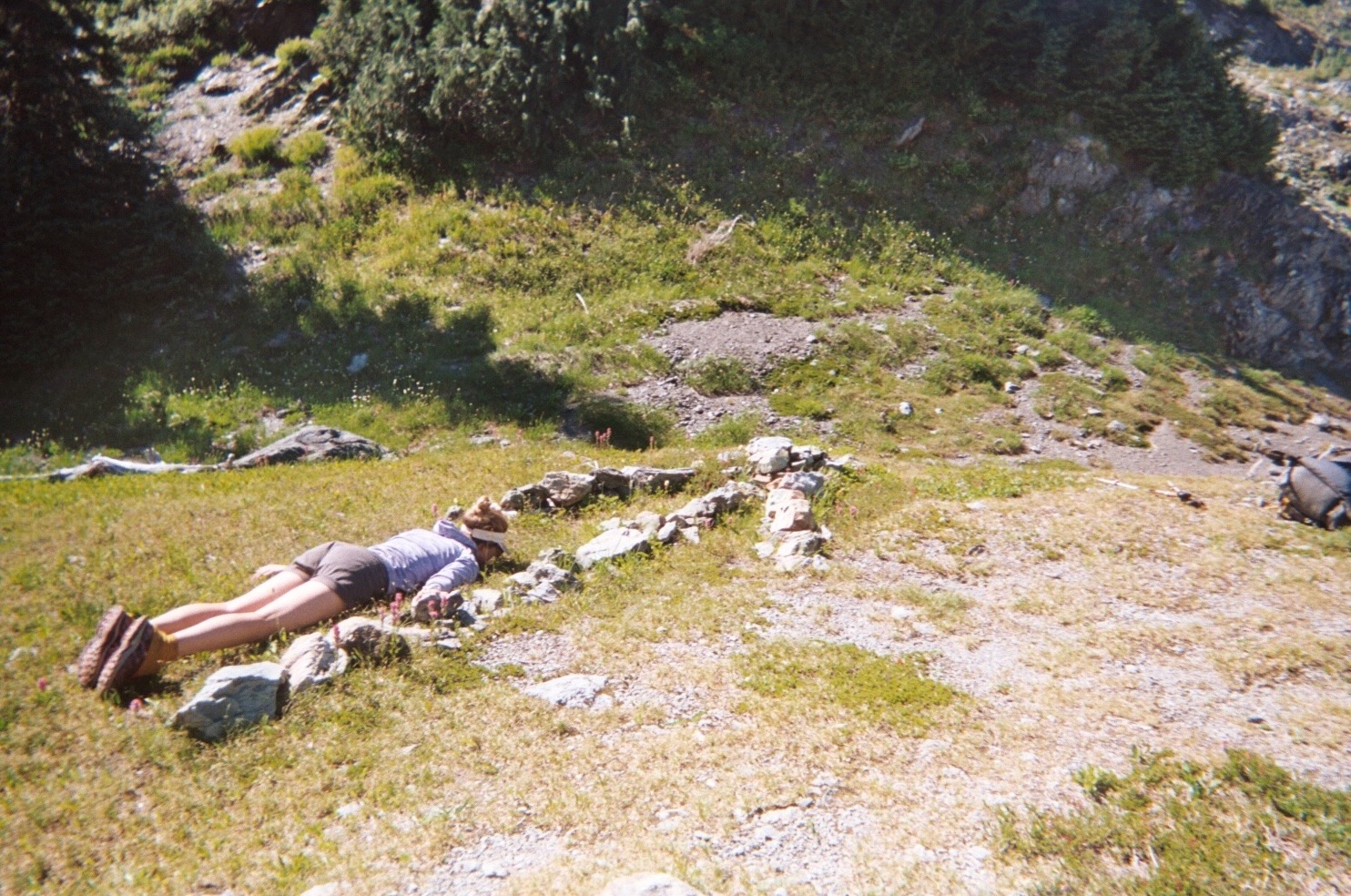
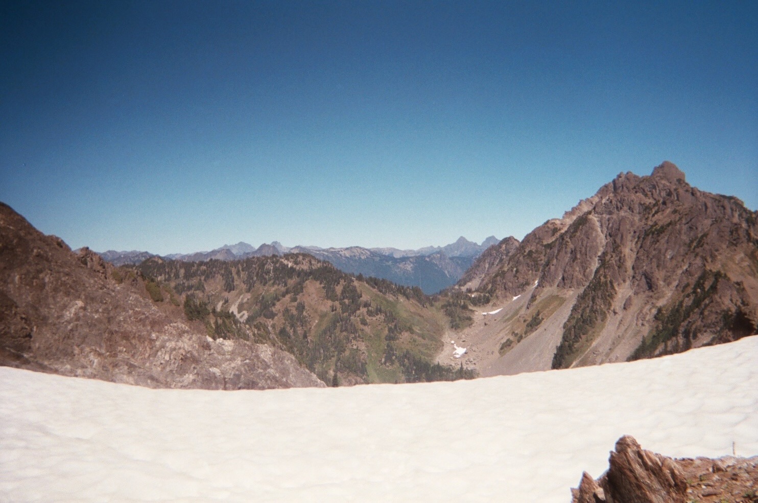
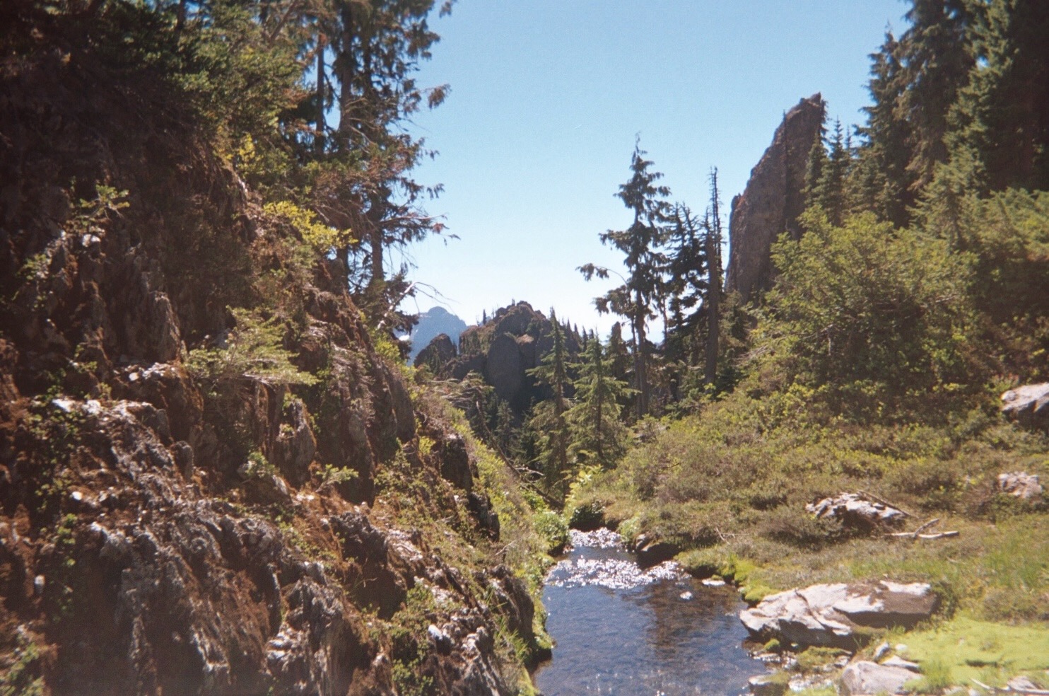
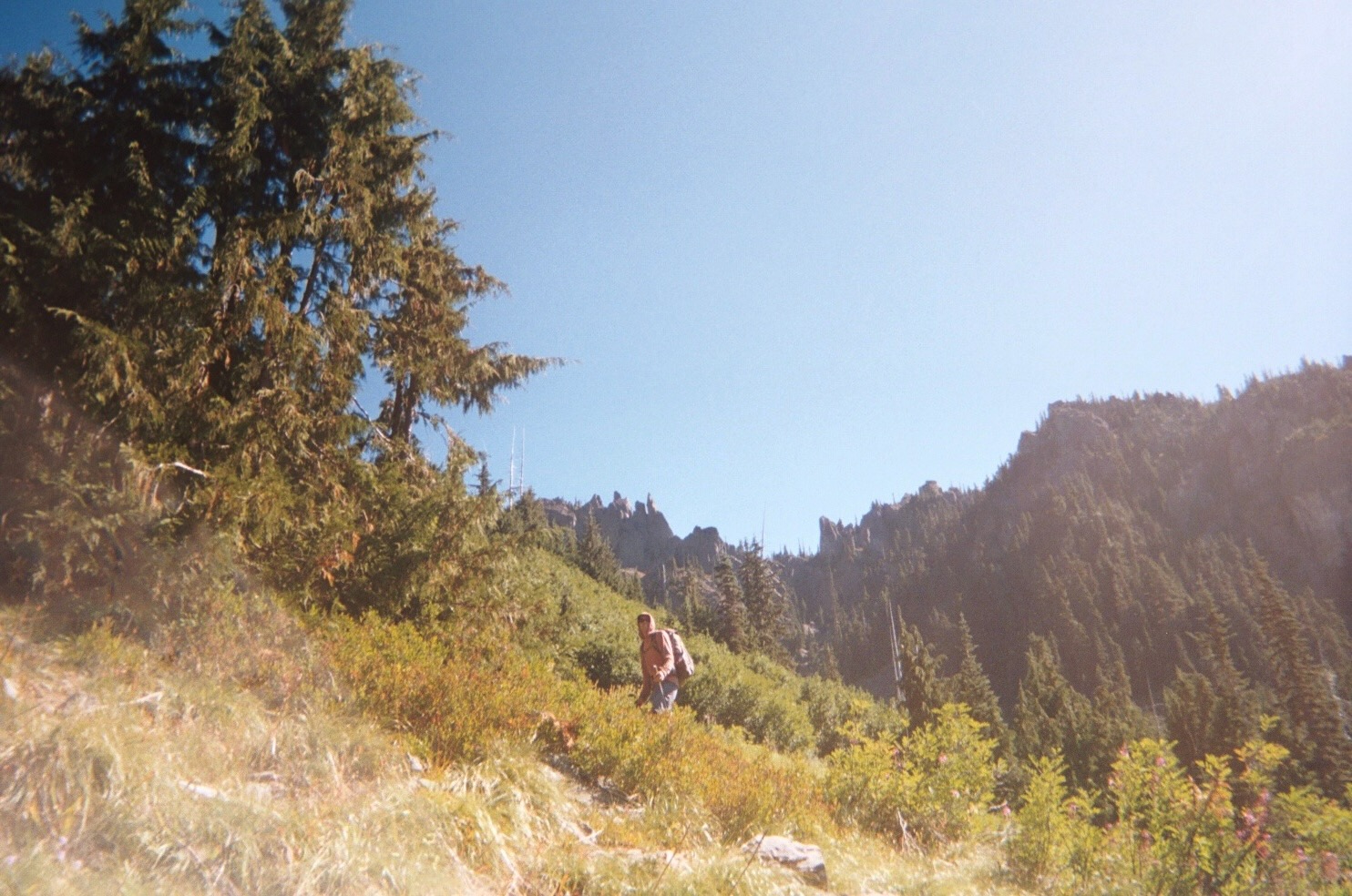
Photo Gallery