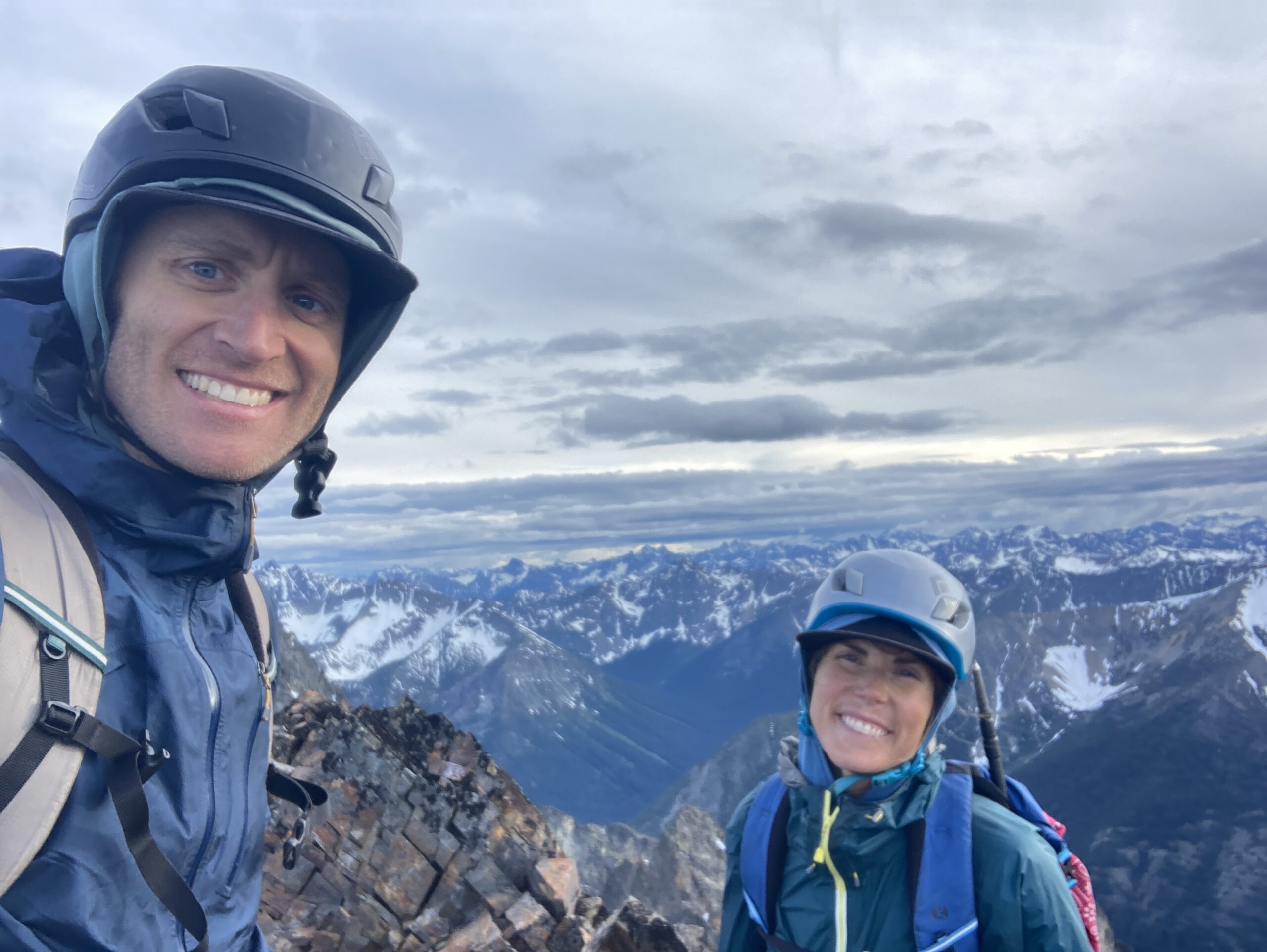
Blackcap Mountain and Monument Peak
↓
Jun 29, 2024
Map
Day 1 – Hike in and climb Blackcap Mountain
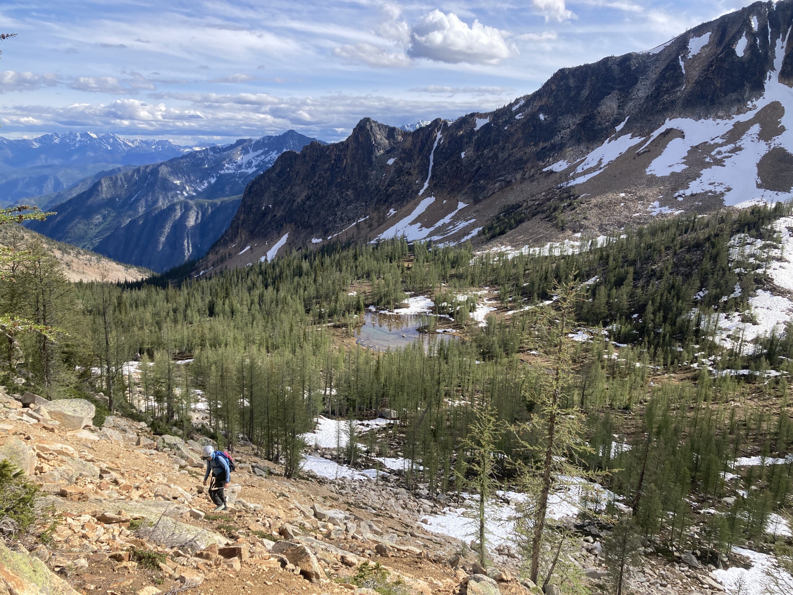
Started out monument Creek Trail in the AM to Pistol Pass, reaching the pass around 1:3o PM. Some steep and bushy sections about halfway up this trail but it was all there. North side of pistol pass still had snow, but relatively dry on the south side. We stayed along the ridge for as long as we could. But dropped down and around (south side) several times when there were obstacles. When we neared Lake mountain, we contoured around at about 7,400 ft trending down to 7,000 ft, before dropping down the last drainage (farthest north) in the basin the leads to the tarn at the very end. We headed up the middle of the basin and made camp at the tarn. From the pass to the tarn took us 3 hours (2.84 miles) about 1,000 ft. of gain.
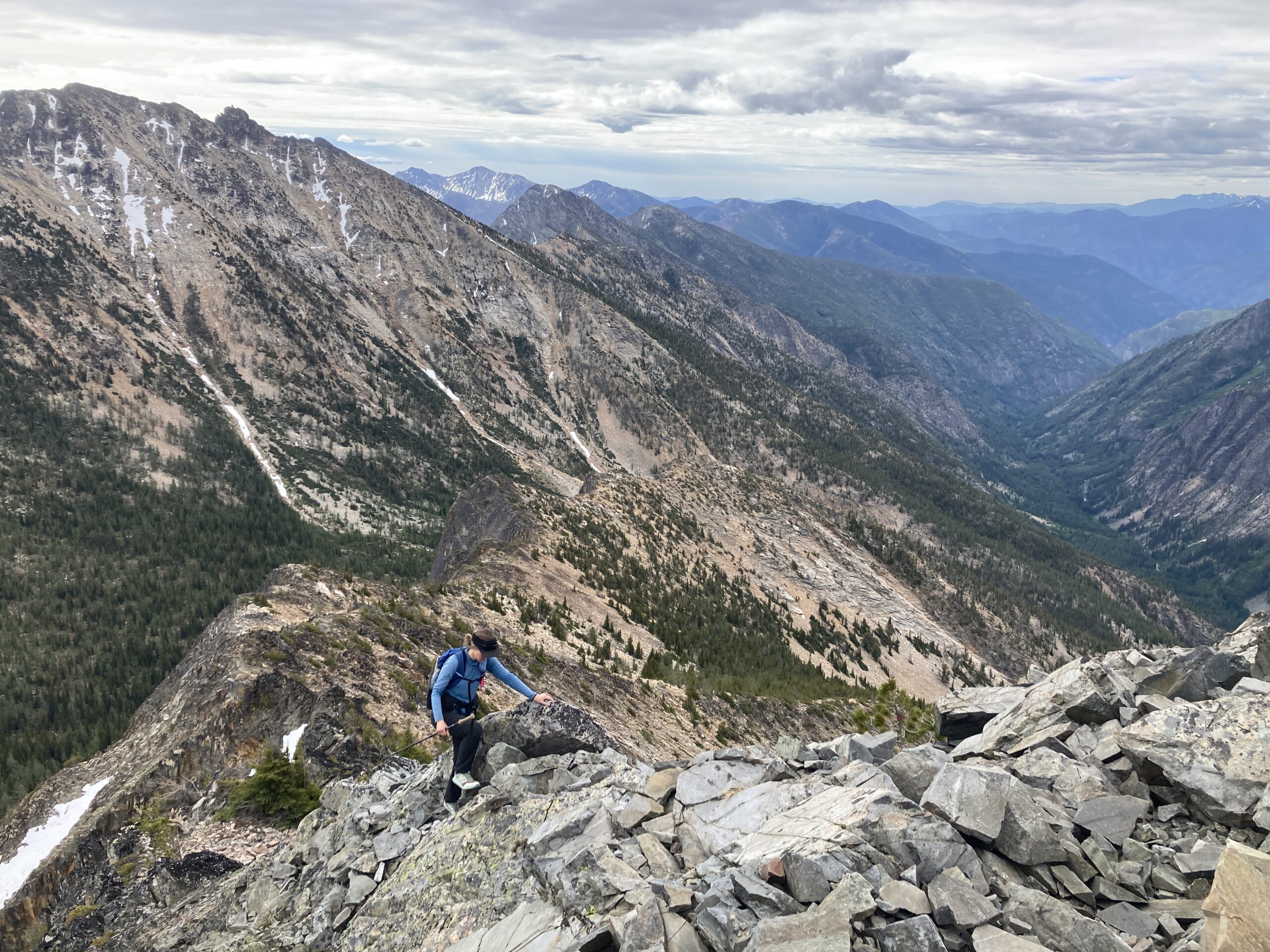
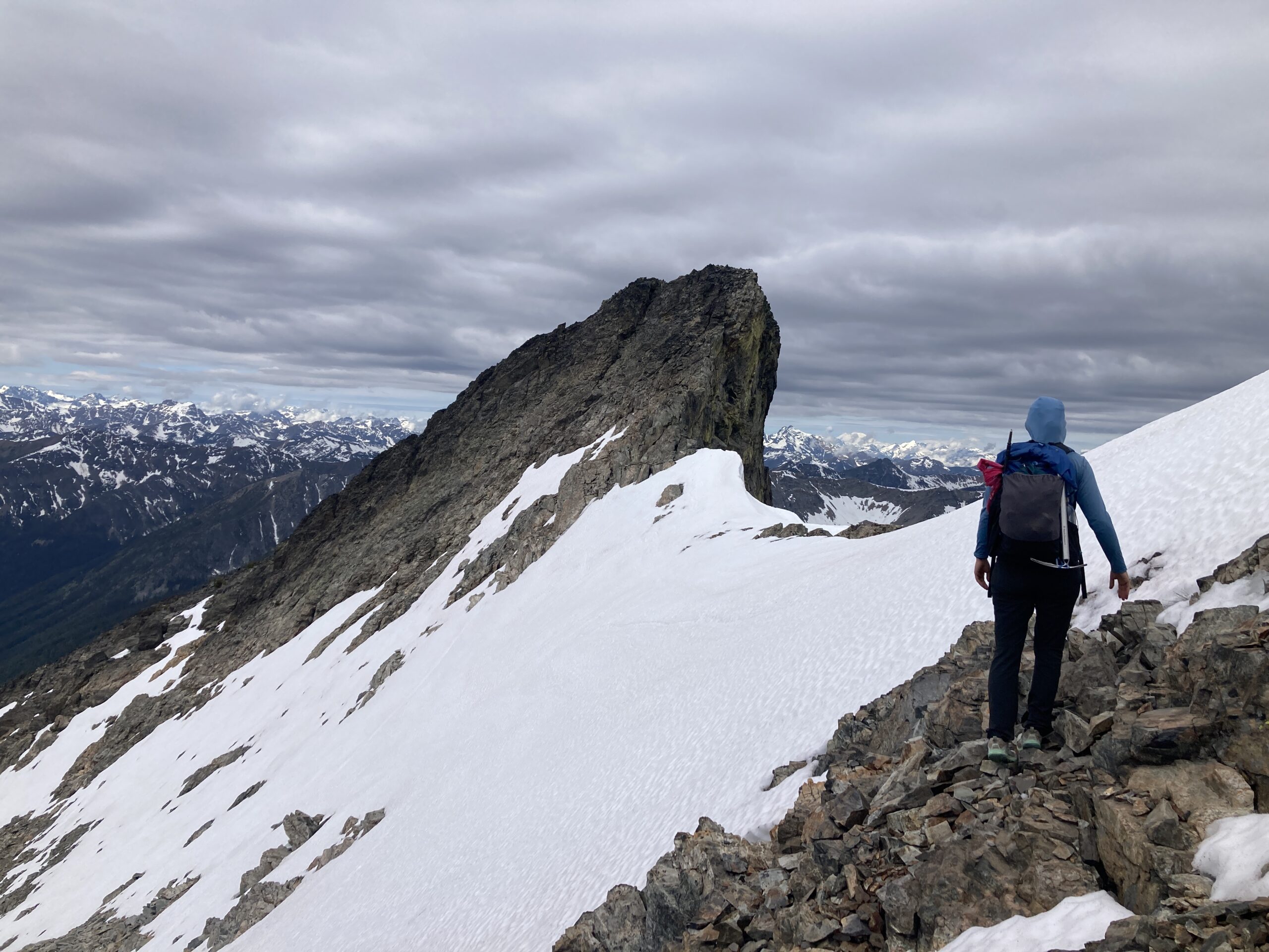
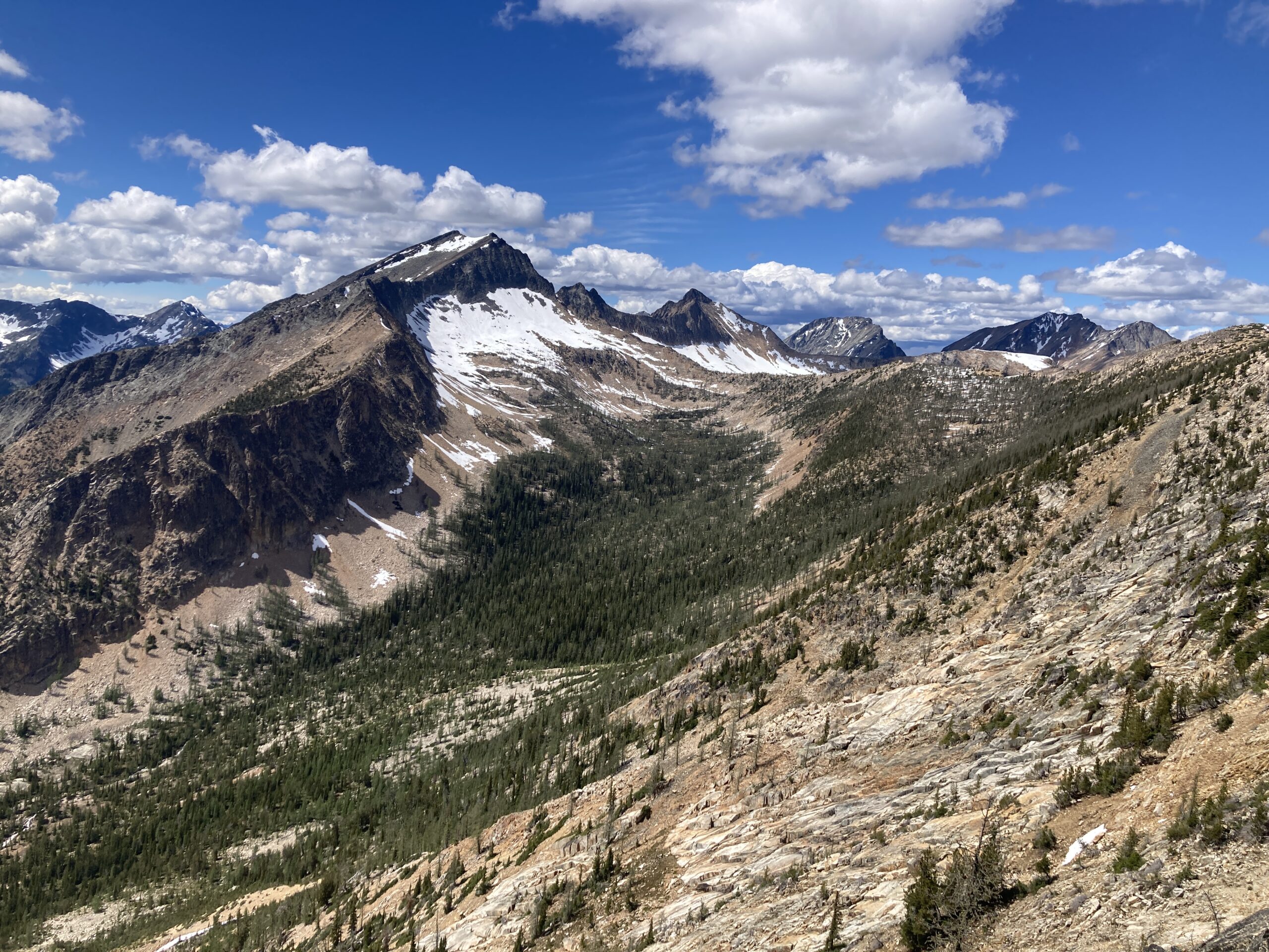
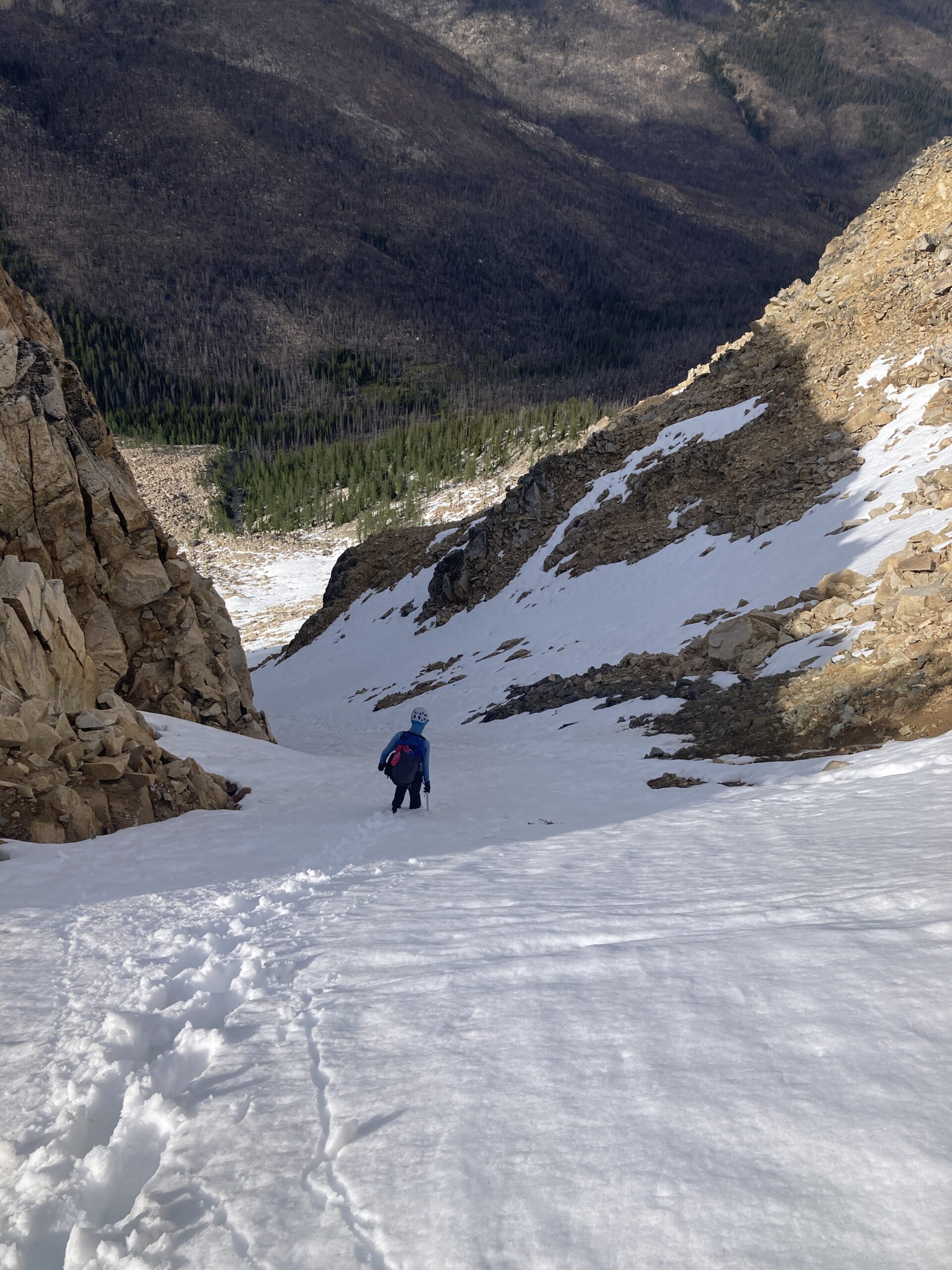
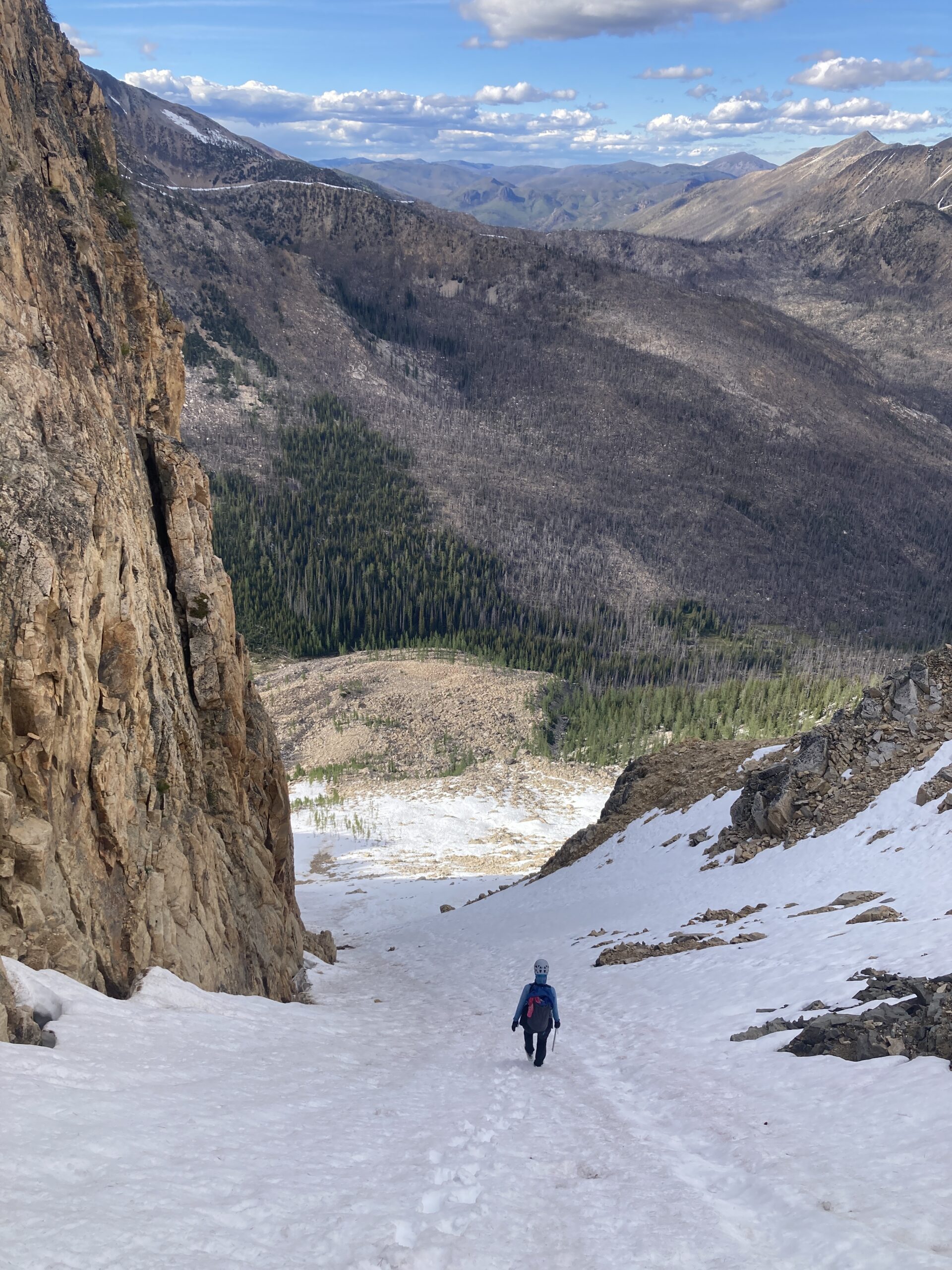
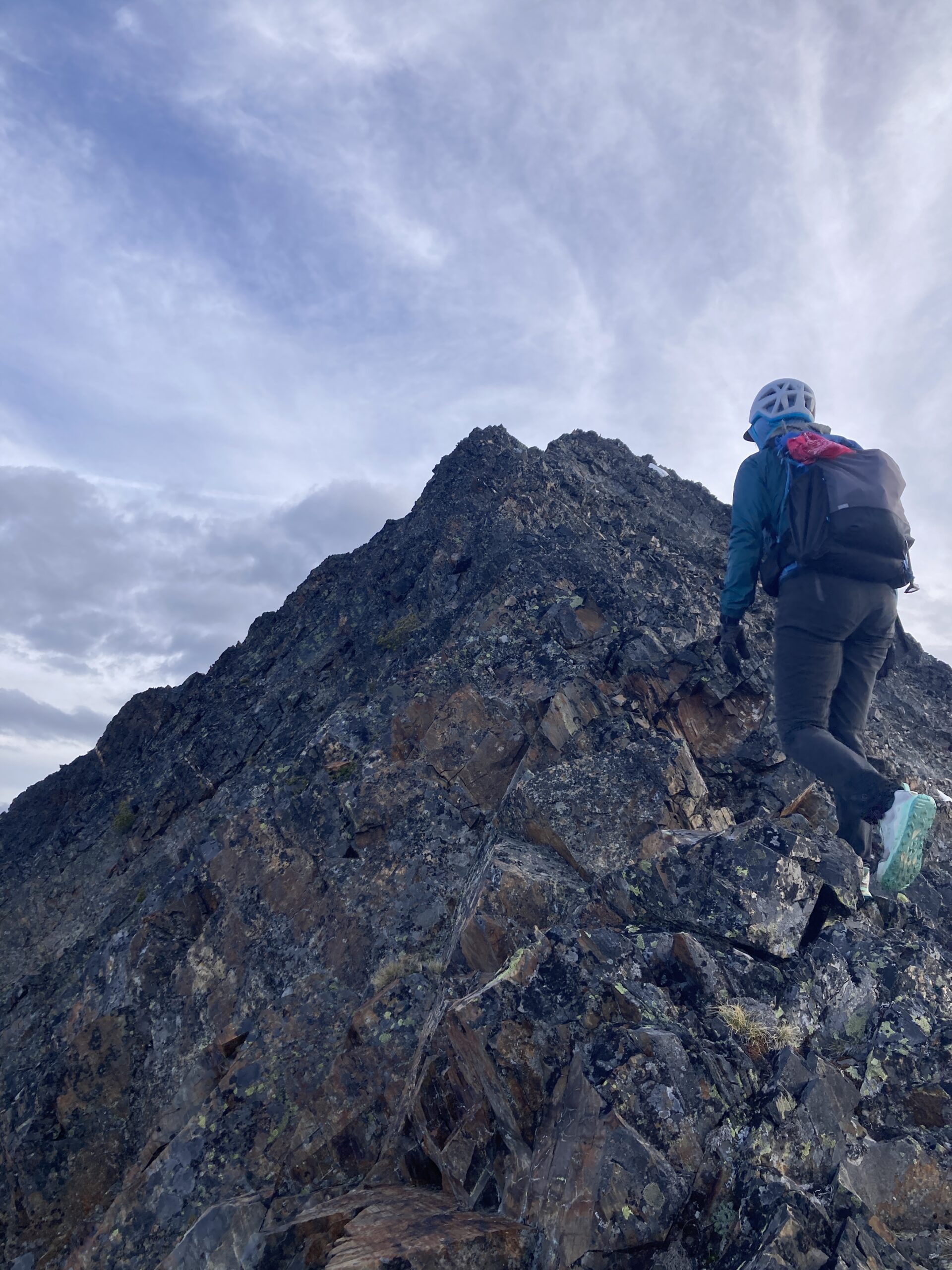
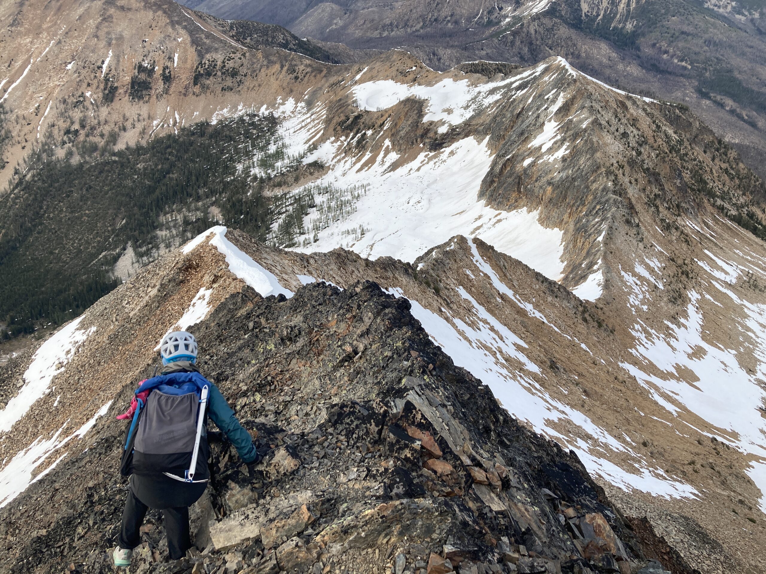
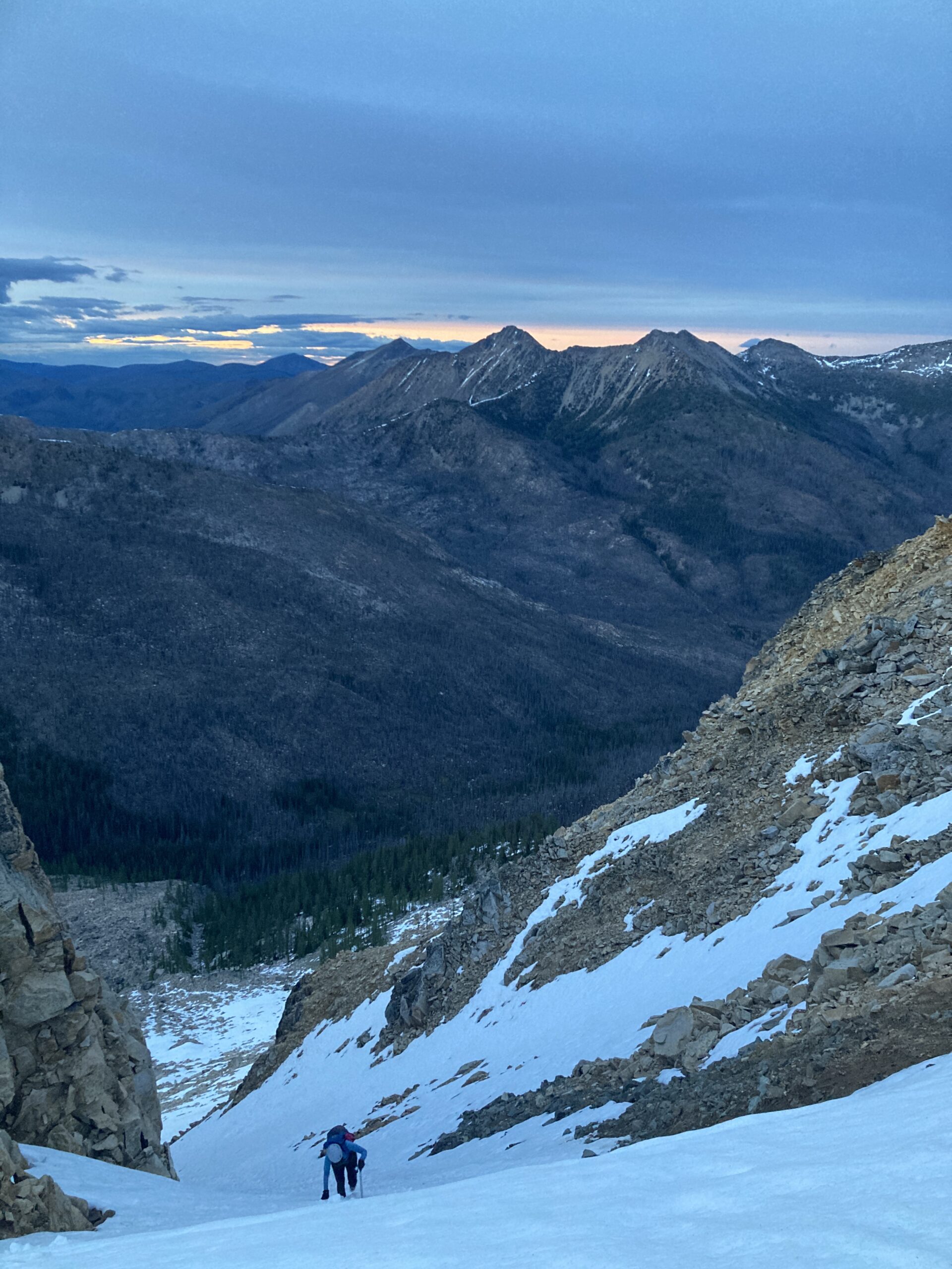
From the tarn we decided to still go for Blackcap even though it was late in the day. 5:15 PM start! We went directly up to the northeast from the tarn to reach the ridge. We traveled a short ways along it to reach an obvious notch with a snow gully to get down. It was steep but solid snow. We descended to the base of a small rock rib (dropping to 6,900 ft) before making our way across and up to the northeast ridge of blackcap where we planned to climb. There was a lot of snow in crossing this basin, but the going was smooth. Seems park-like when it melts, lots of beautiful little spots with creeks and trees, all snow covered at the time. We gained the ridge at about 7,700 ft. after crossing all the way to the north end of the basin. From there we scrambled ridge proper to the summit. Fun class 2. We reversed this same route down, with the exception of dropping into the snowy basin for easier descending a little ways down the ridge off the summit, instead of taking the ridge all the north end of the basin.
From the tarn to the summit and back to our camp took us 5 hours. Ascending 2,960 ft over 4.35 miles. We got in late and realized that the place we set up camp had started melting and our tent sat in a puddle! We moved campsites before finally going to bed late in the evening.

Day 2 – Climb Monument Peak and hike out
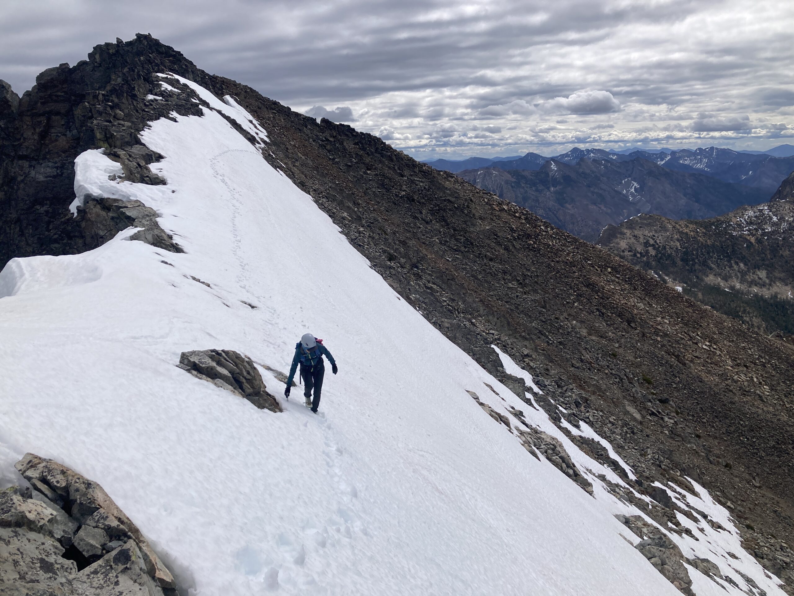
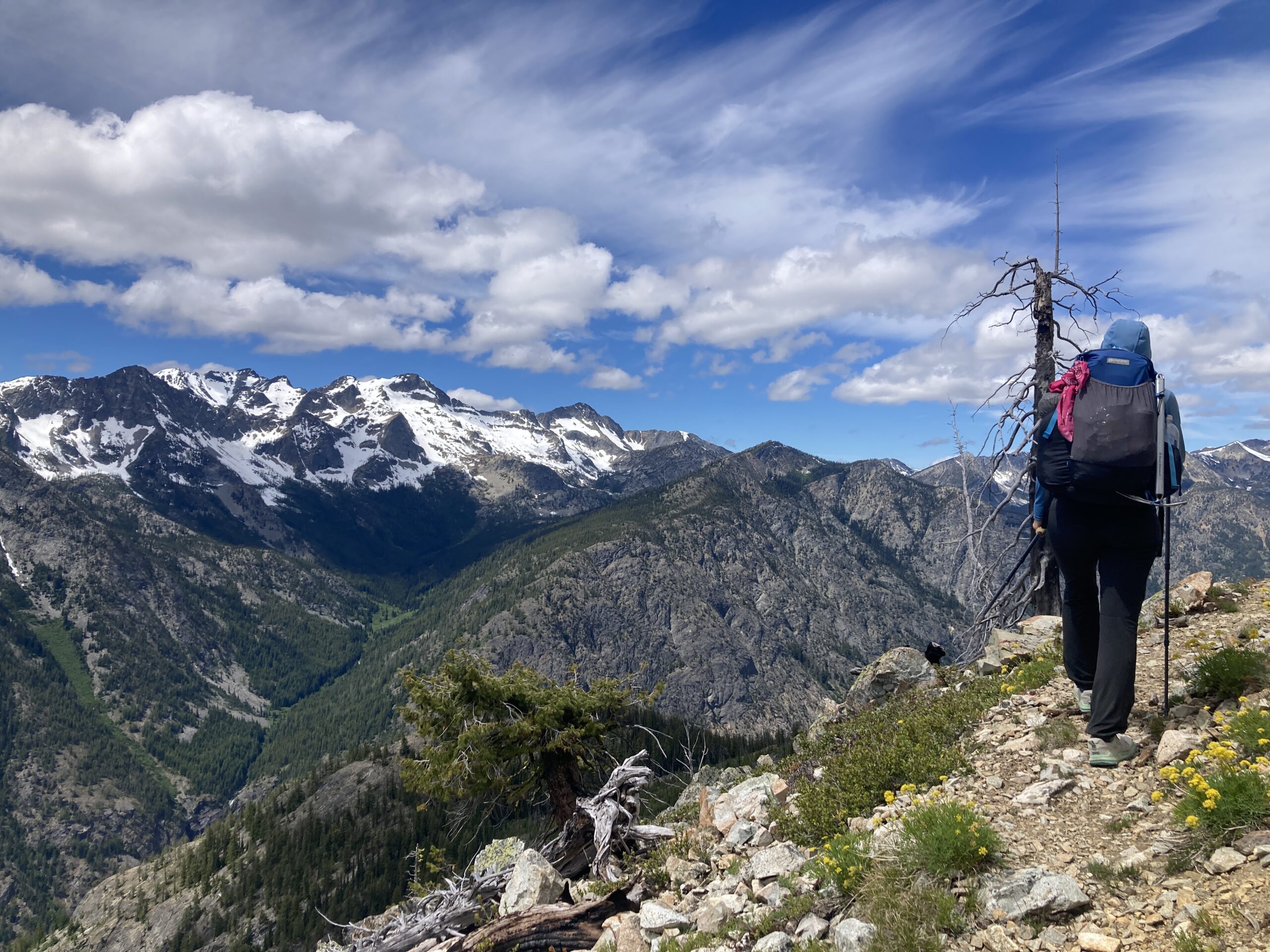
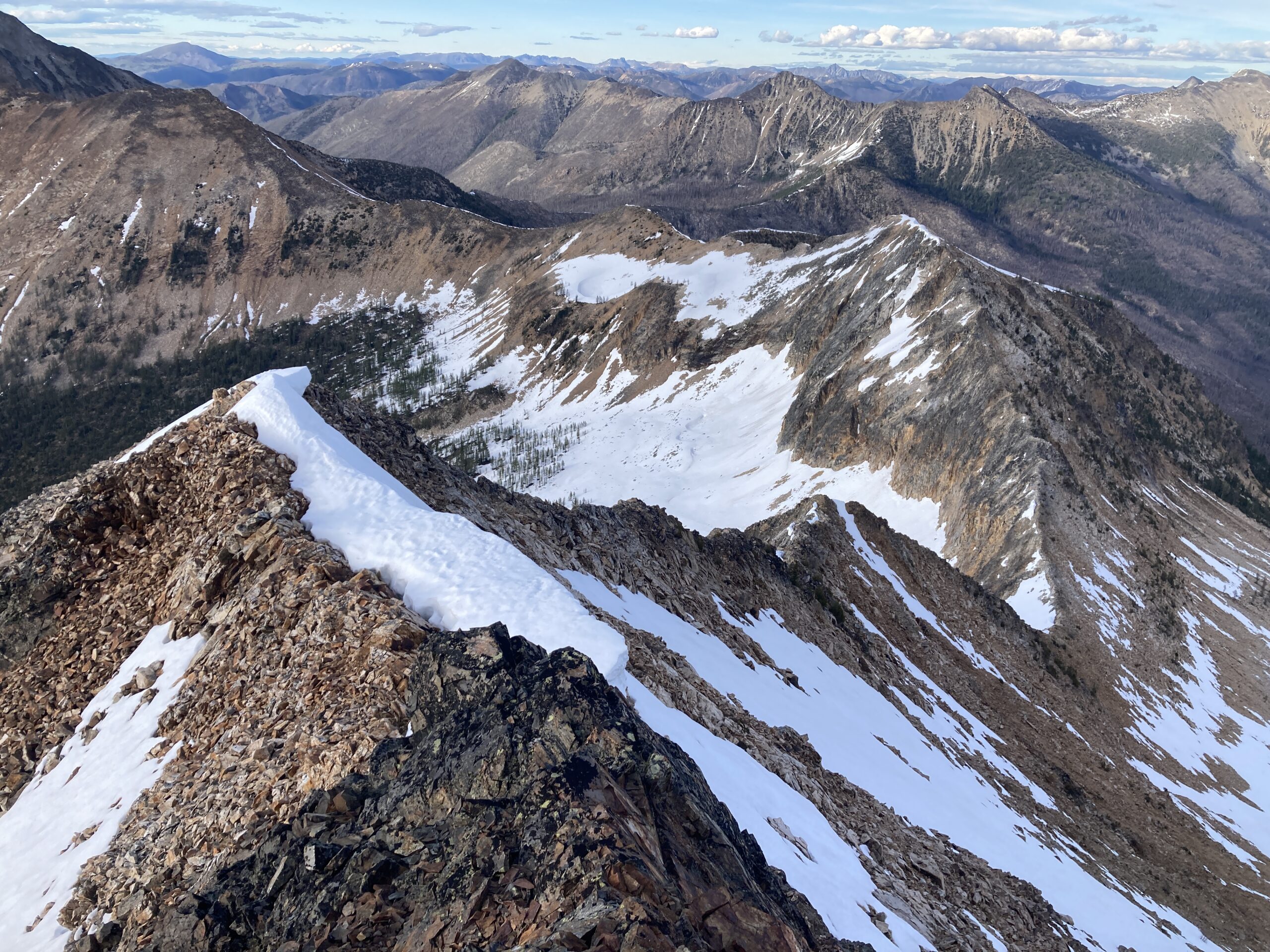
We started hiking at 7:15 AM to go for Monument and also try and make it home that night. We dropped down the basin along the edge of the long southern ridge coming off Monument. At about 6,300 ft. we headed around to the base of the ridge, picking our way up through blocky rocks. Once on the ridge we began the slow slog on easy terrain to the summit. Beautiful views. The ridge was good the whole way. At the very top there was some snow in patches. A short scramble to reach the summit which is the western high point of the two. From camp to the summit back to the base of the spot where we gained the ridge to start ascending, it took us 5 hours, 23 minutes. 4.11 miles. 2,212 ft.
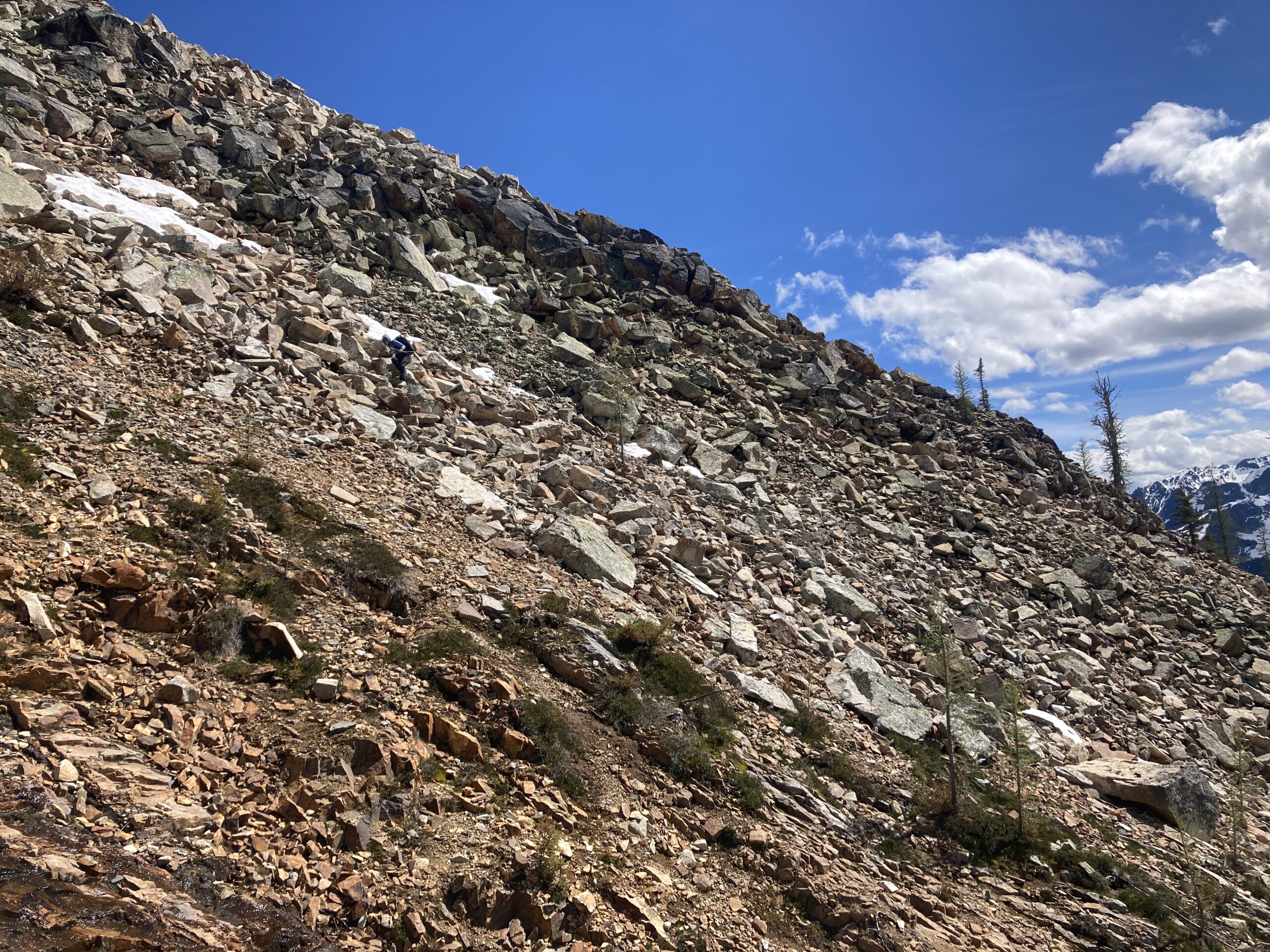
From there, we reversed our route back to the car. 12.43 miles, 7 hours 52 minutes. After contouring below Lake mountain, on the way back we decided to stay ridge proper all the way to pistol pass, and scramble over the “obstacles” we’d dropped below on the way out. It went. But not super smoothly, about the same difficulty as dropping down and around a few times. It was cool to stay on the ridge though with better views. There was one cruxy/loose 4th class move to make it towards the end. It was a long day!