Trip Report
Hoodoo Peak, Raven Ridge & Mt. Bigelow
Trip Overview
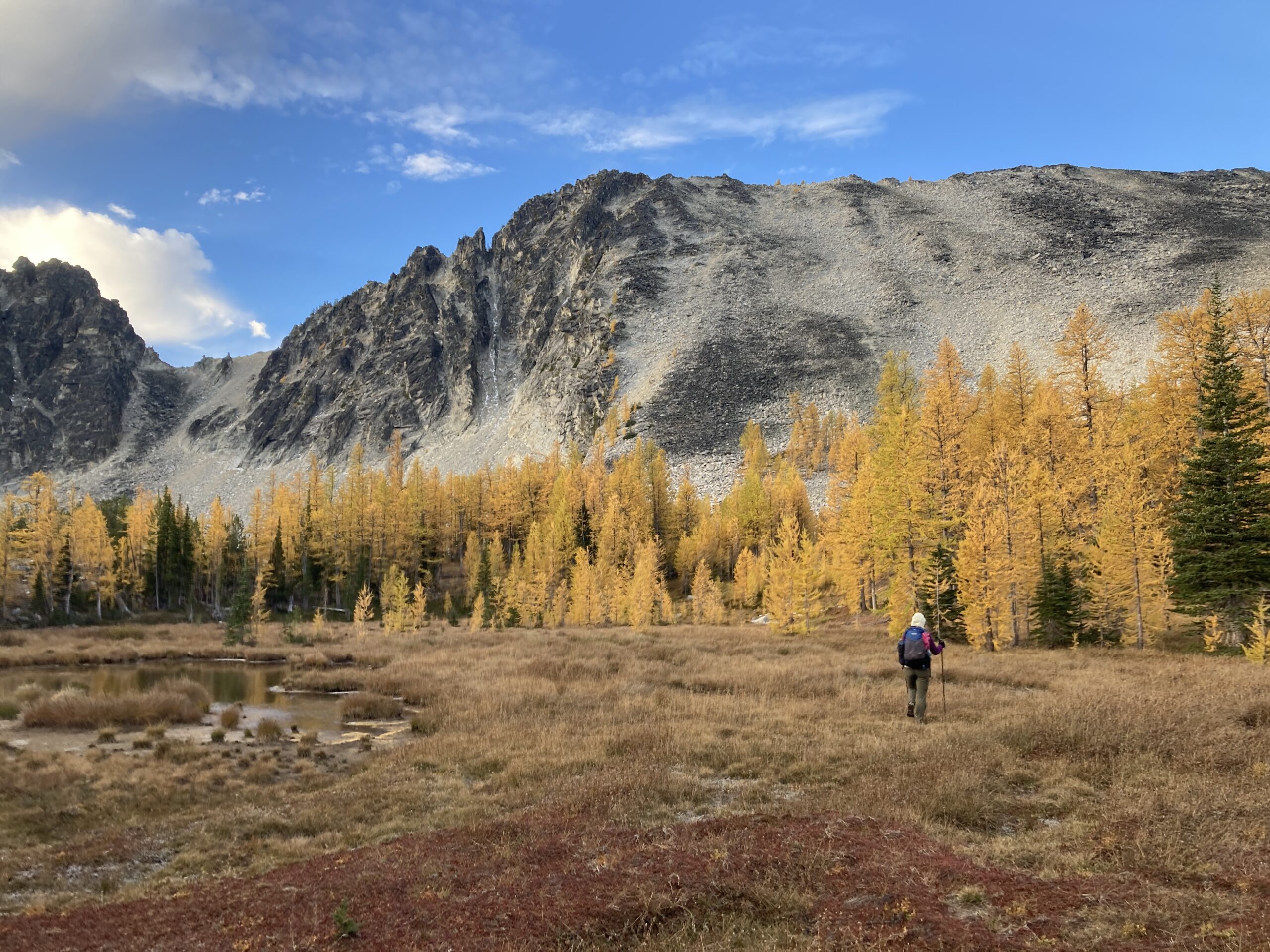
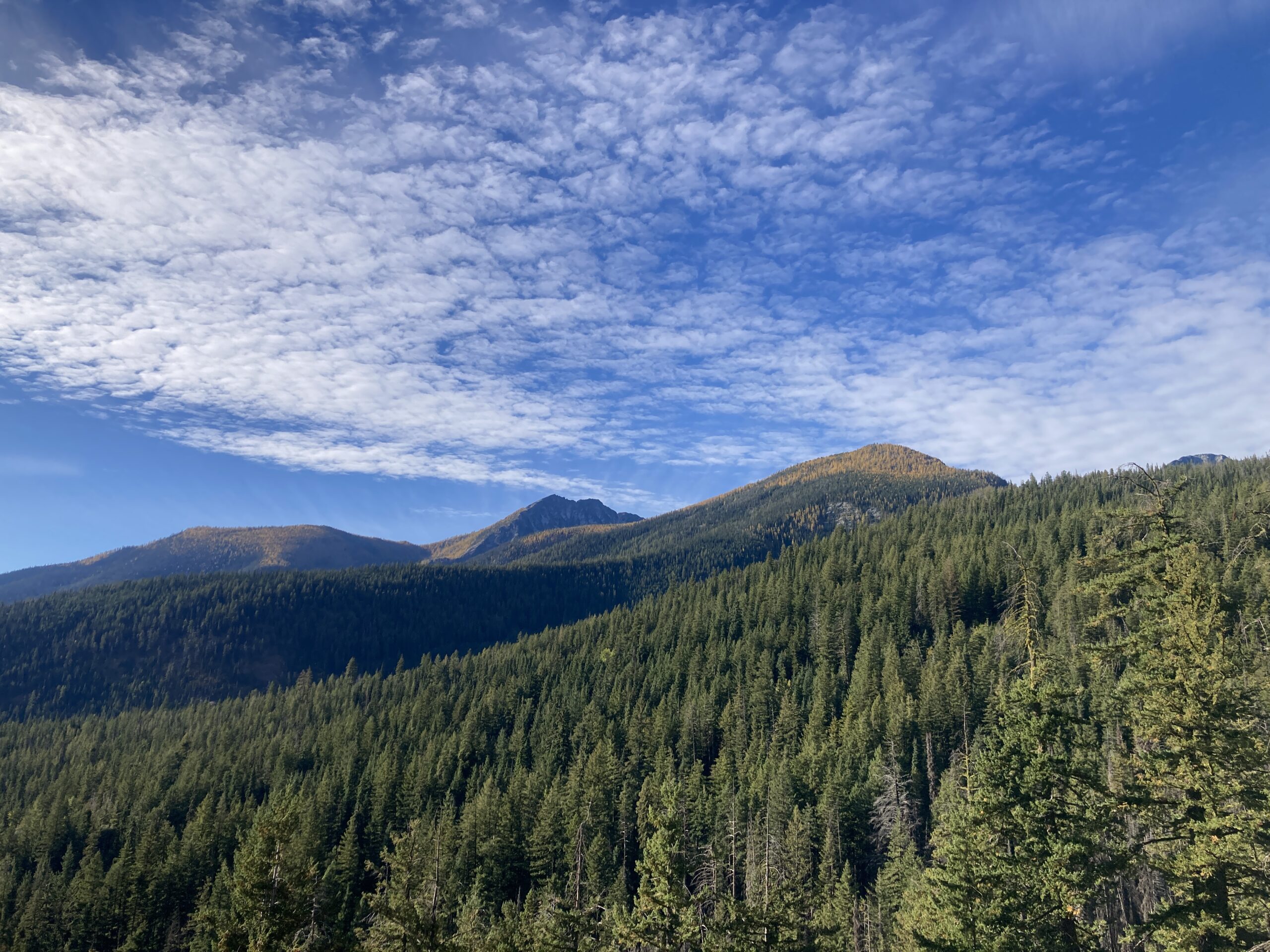
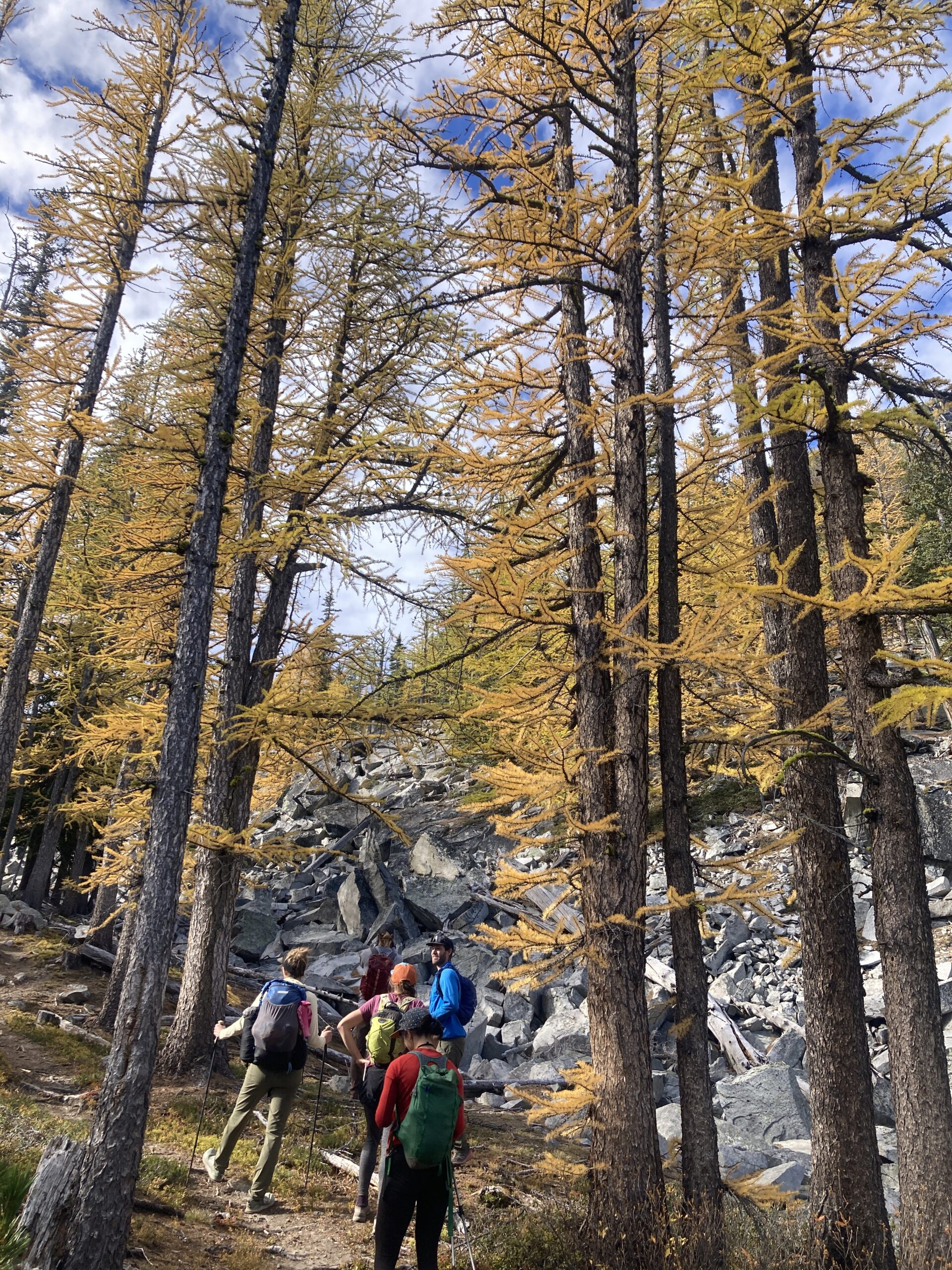
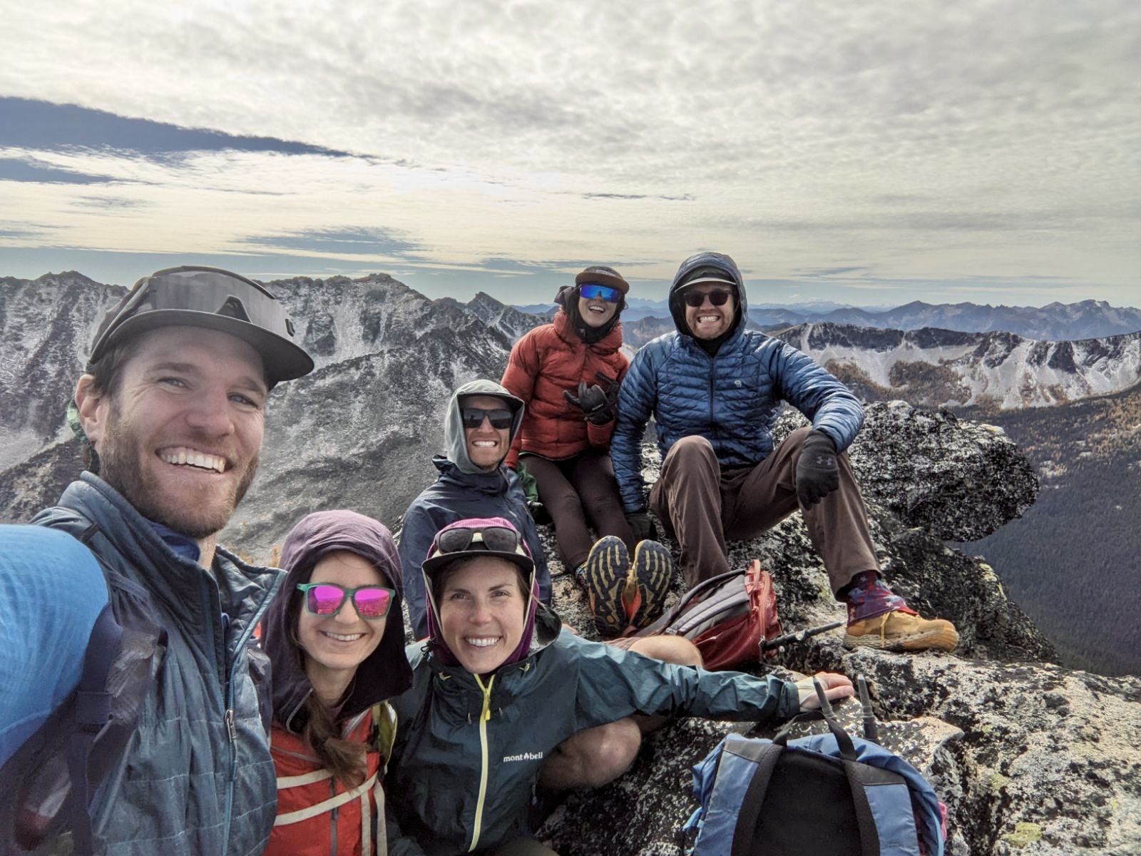
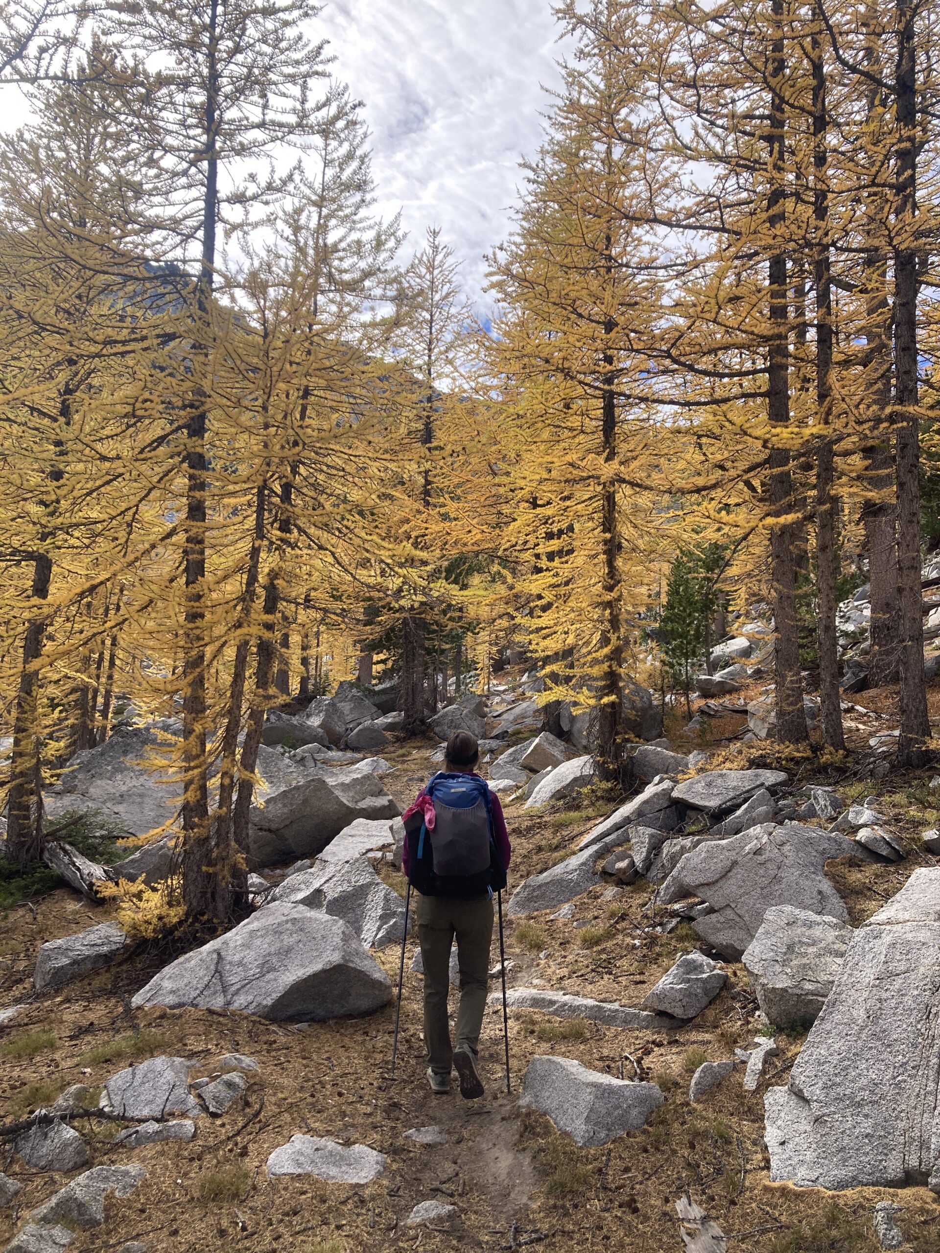
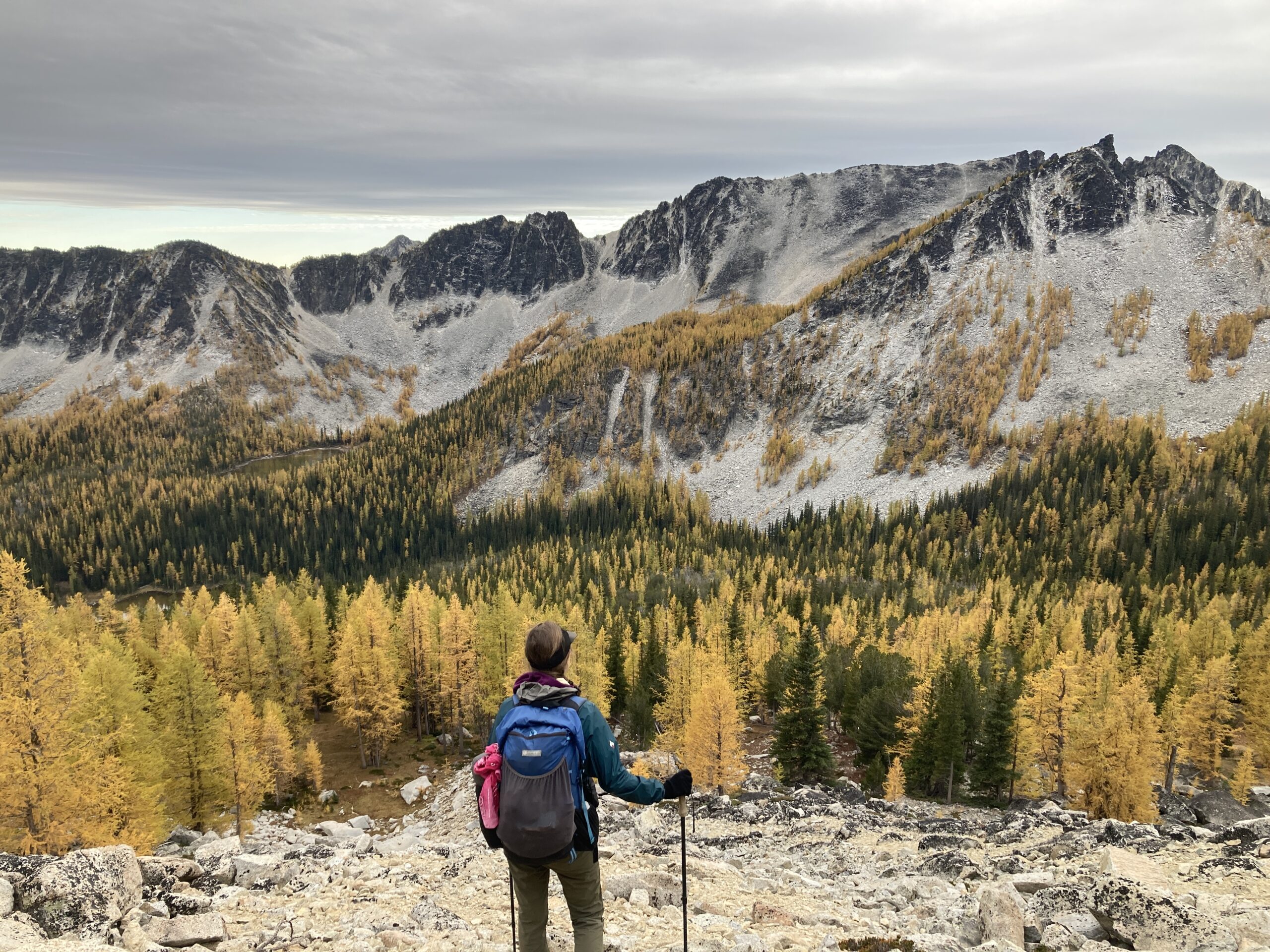
We knew that larch peeping season had arrived in the Cascades and wanted to get out to see some of the beautiful colors. We had planned to hike into the Sawtooth Wilderness from the Libby Lake TH, climb Hoodoo Peak with a group of friends, then head up to Raven Ridge and down to Crater Lake. Then on Day 2 we would climb Mt. Bigelow from Crater Lake via it’s Northeast ridge, drop down to Hoodoo Pass and catch the East Fork of the Buttermilk Trail North eventually leaving the trail and heading Southeast up and over the shoulder of Northeast shoulder of Hoodoo Peak to reach the Libby Lake trail and get back to our car. There were beautiful colors and great temperatures for a Fall trip.
Day 1 – Climb Hoodoo Peak and Raven Ridge
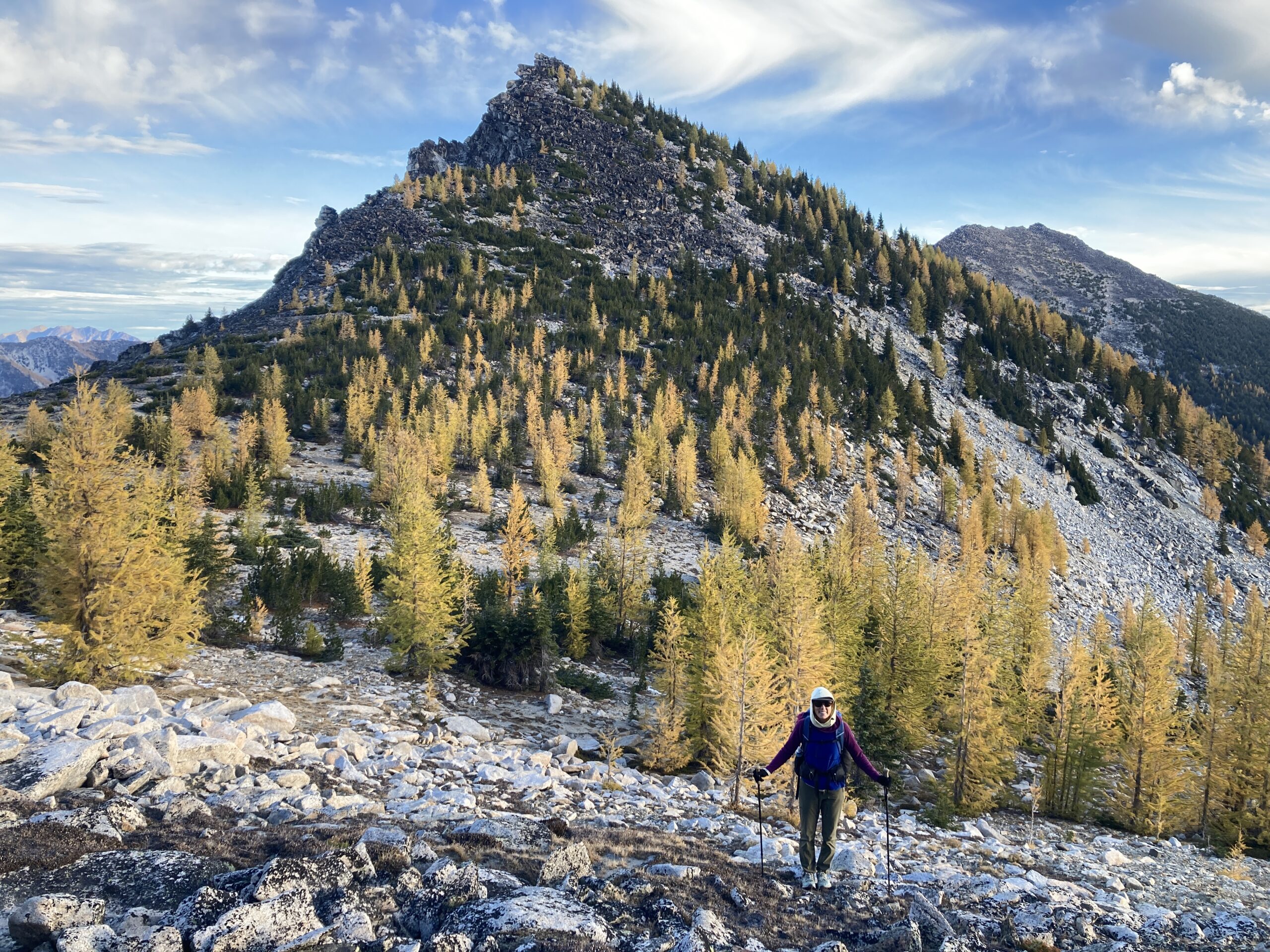
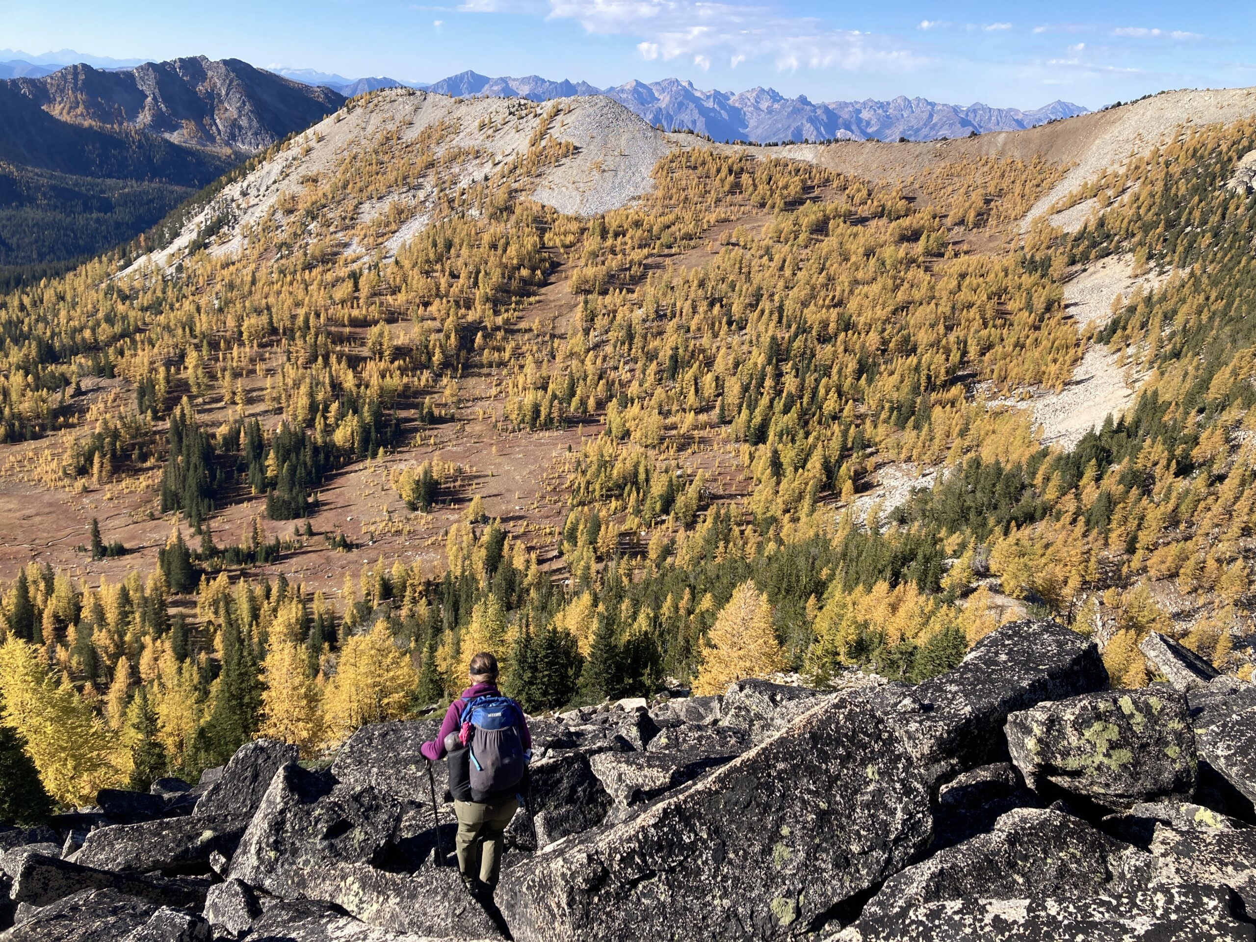
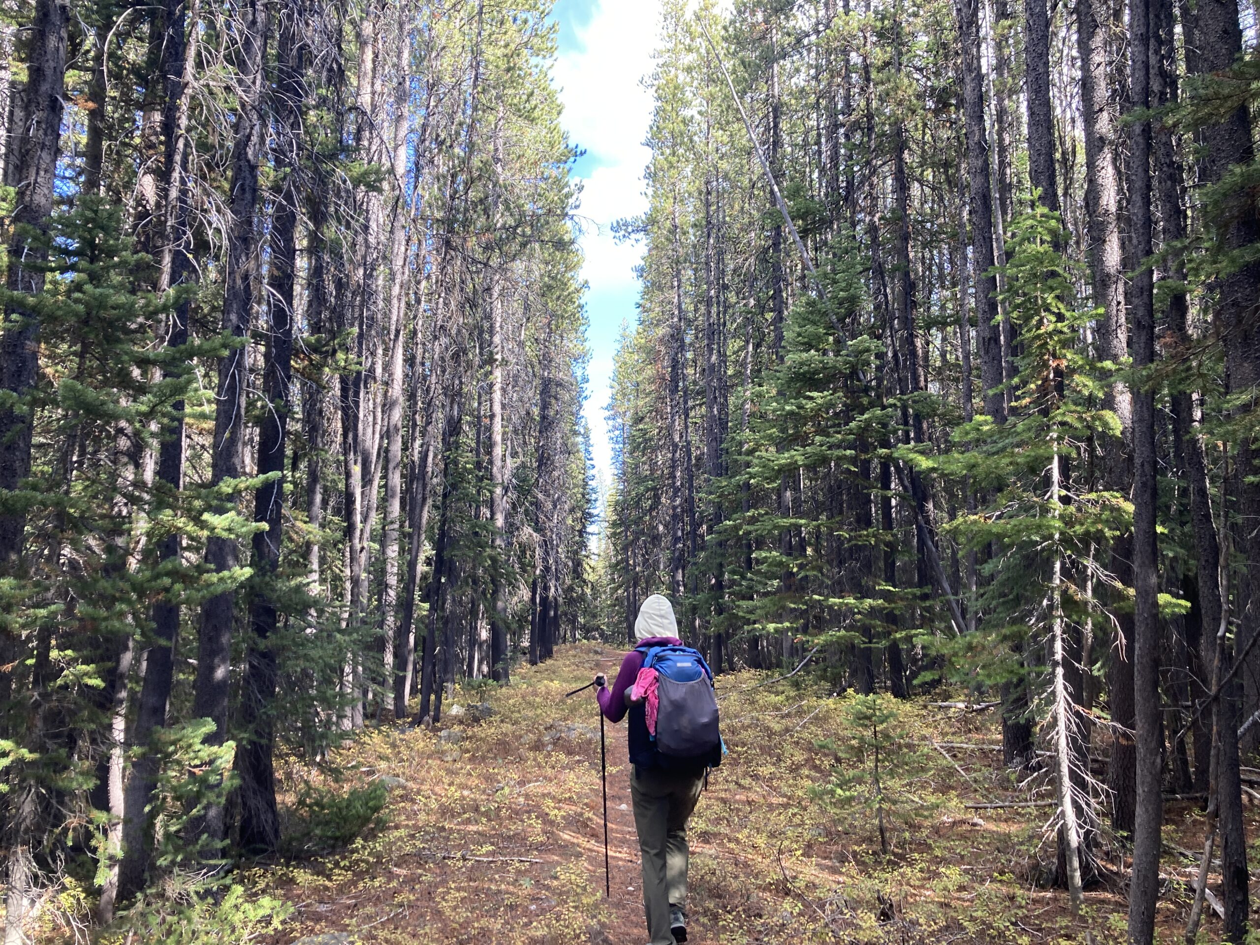
We hiked out from the Libby Lake Trailhead at 9 AM. Great trail! Right around where the hut is at 7,200 ft., we left the trail and headed up the drainage into the basin below the south ridge of Hoodoo. It’s beautiful terrain and fairly easy travel. You start ascending on talus to reach the south ridge. From there you can head nearly on the ridge itself, dropping up or down occasionally to navigate obstacles, staying on the eastern side.
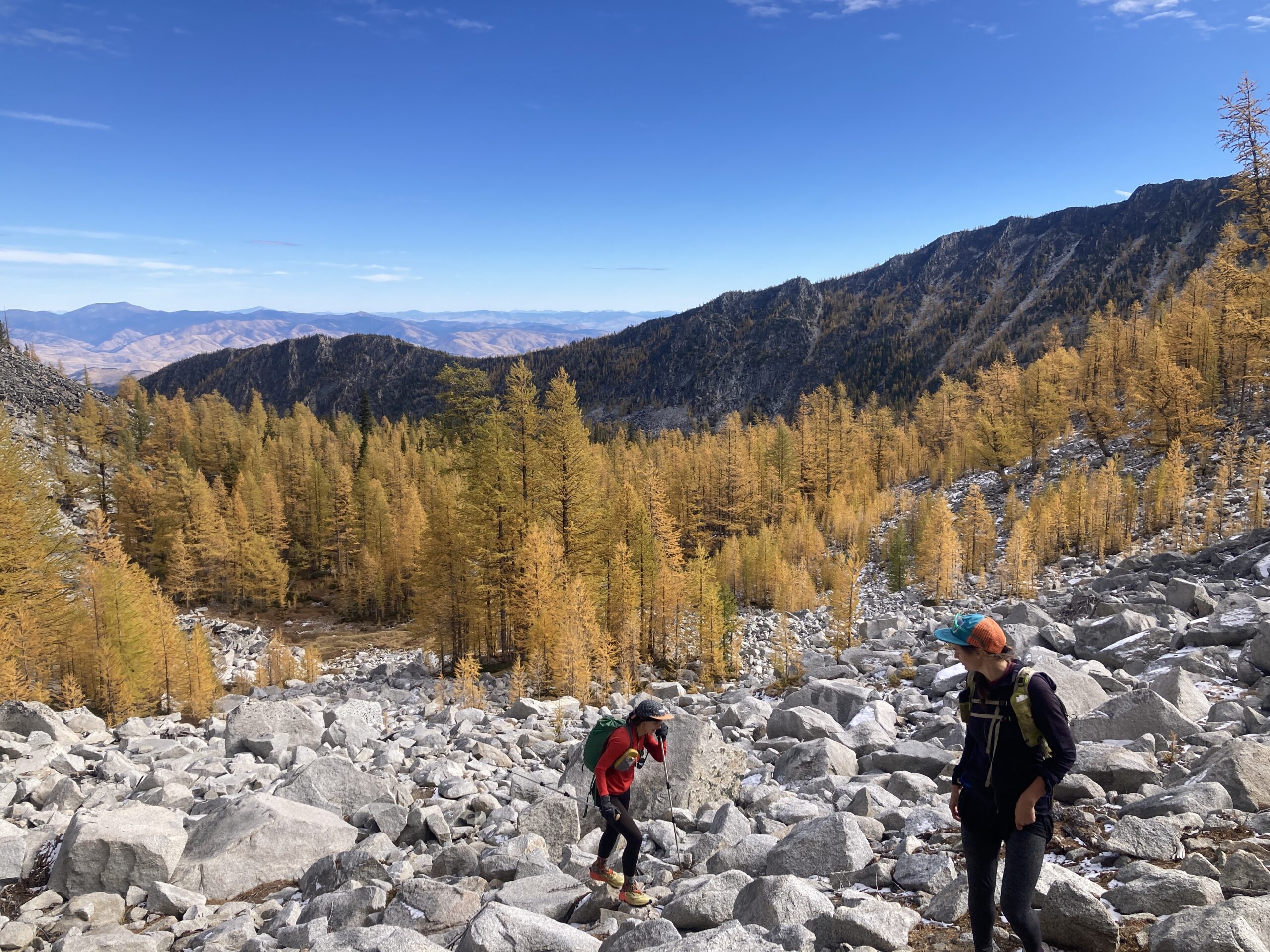
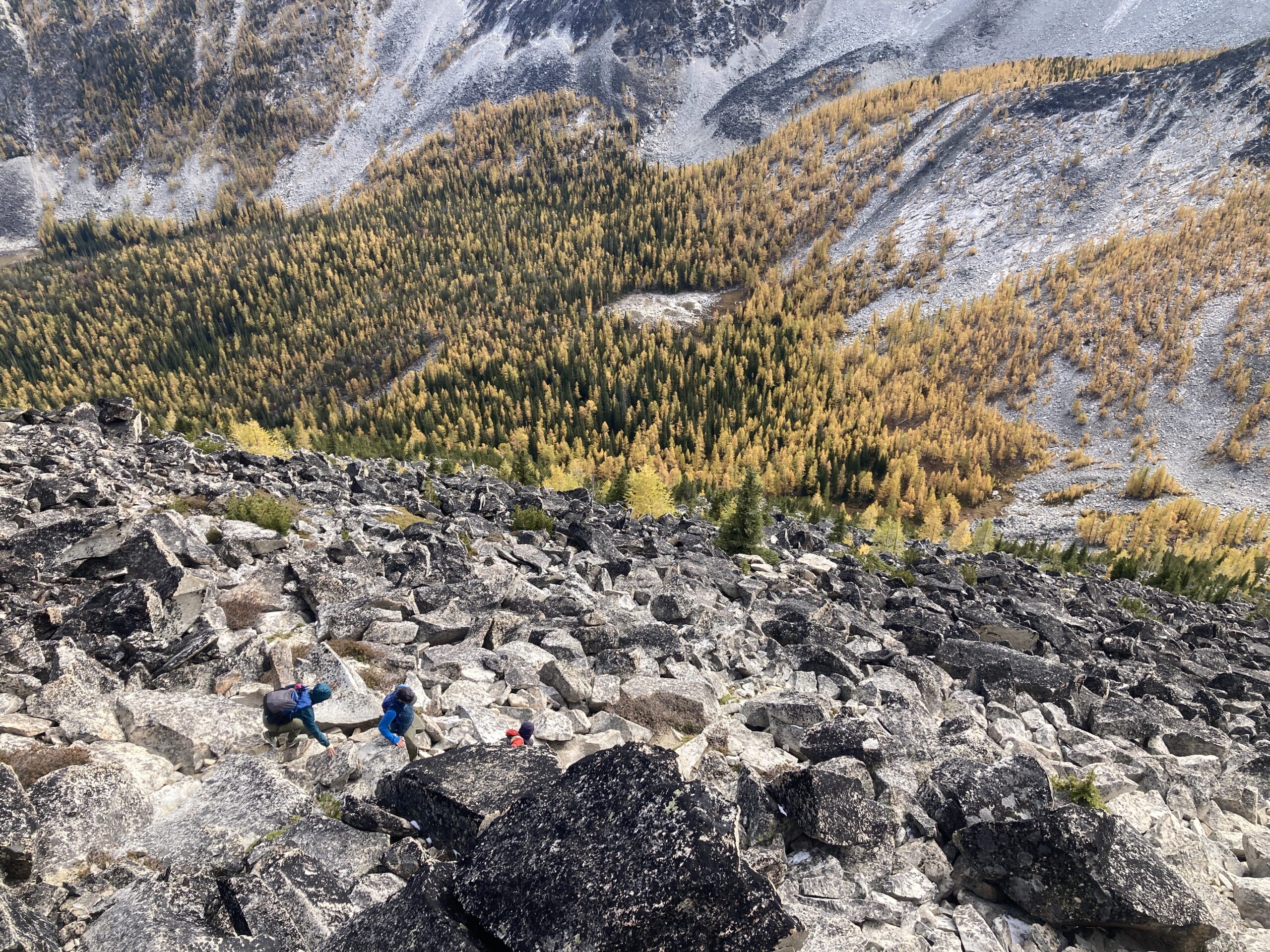
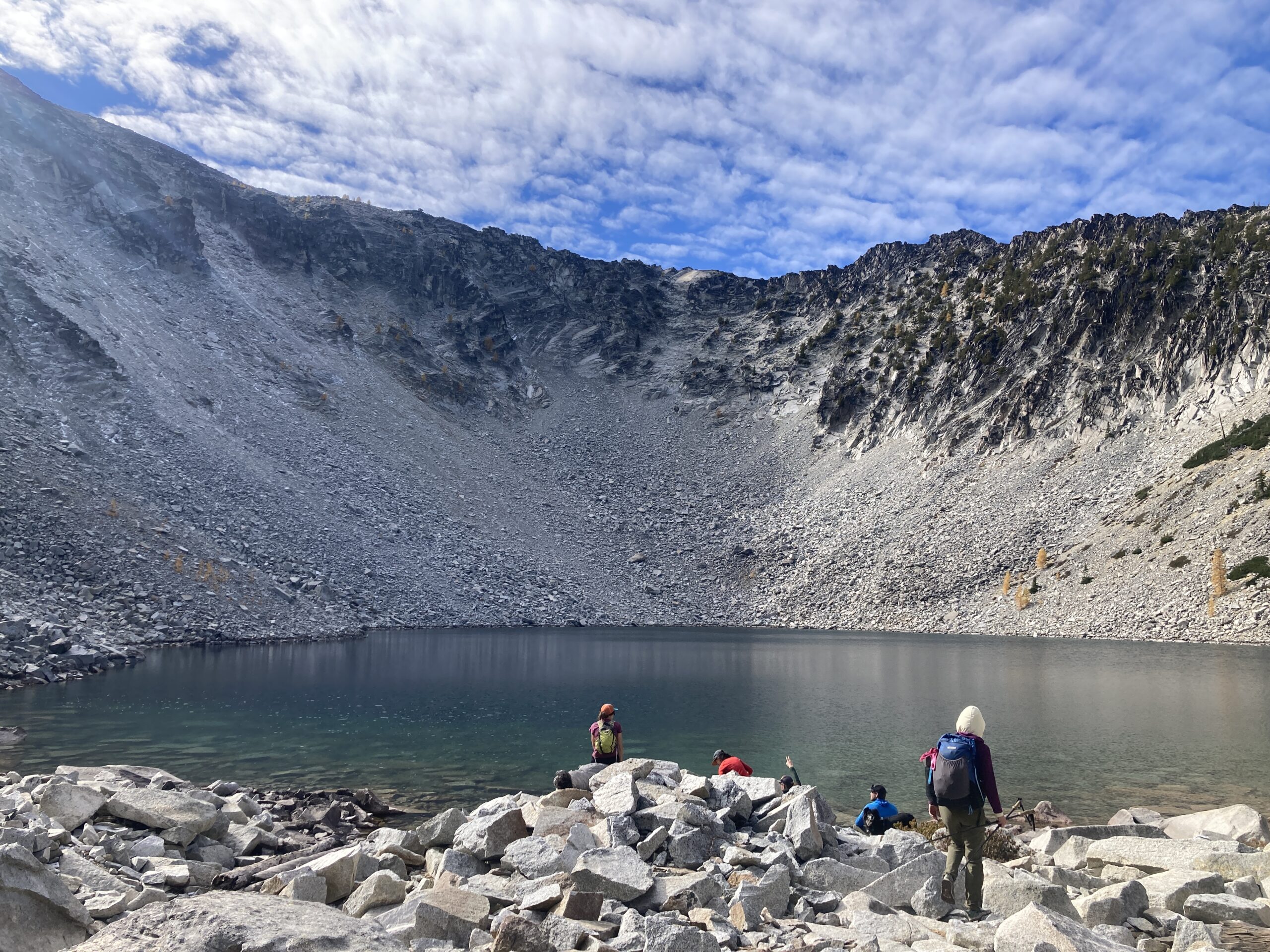
After descending back to the cabin, we hiked on trail all the way to Libby Lake. Beautiful views! It was a little busy because the larches were peaking. At that point our friends turned around, and we headed on, up the west side of the lake on talus. We went directly up the main gully on the south side of Libby Lake, that heads up to the low point on the ridge. This got very very steep at the end, and we wished we’d picked a different way up. We did see someone coming down that same way, and we never decided which route we would have preferred, but it looked possibly better to duck out in an easterly direction closer to the top of the ridge rather than staying in the gully all the way. Either way, we made it to the ridge where the scrambling was easier. Heading along the south side of the ridge to the top.
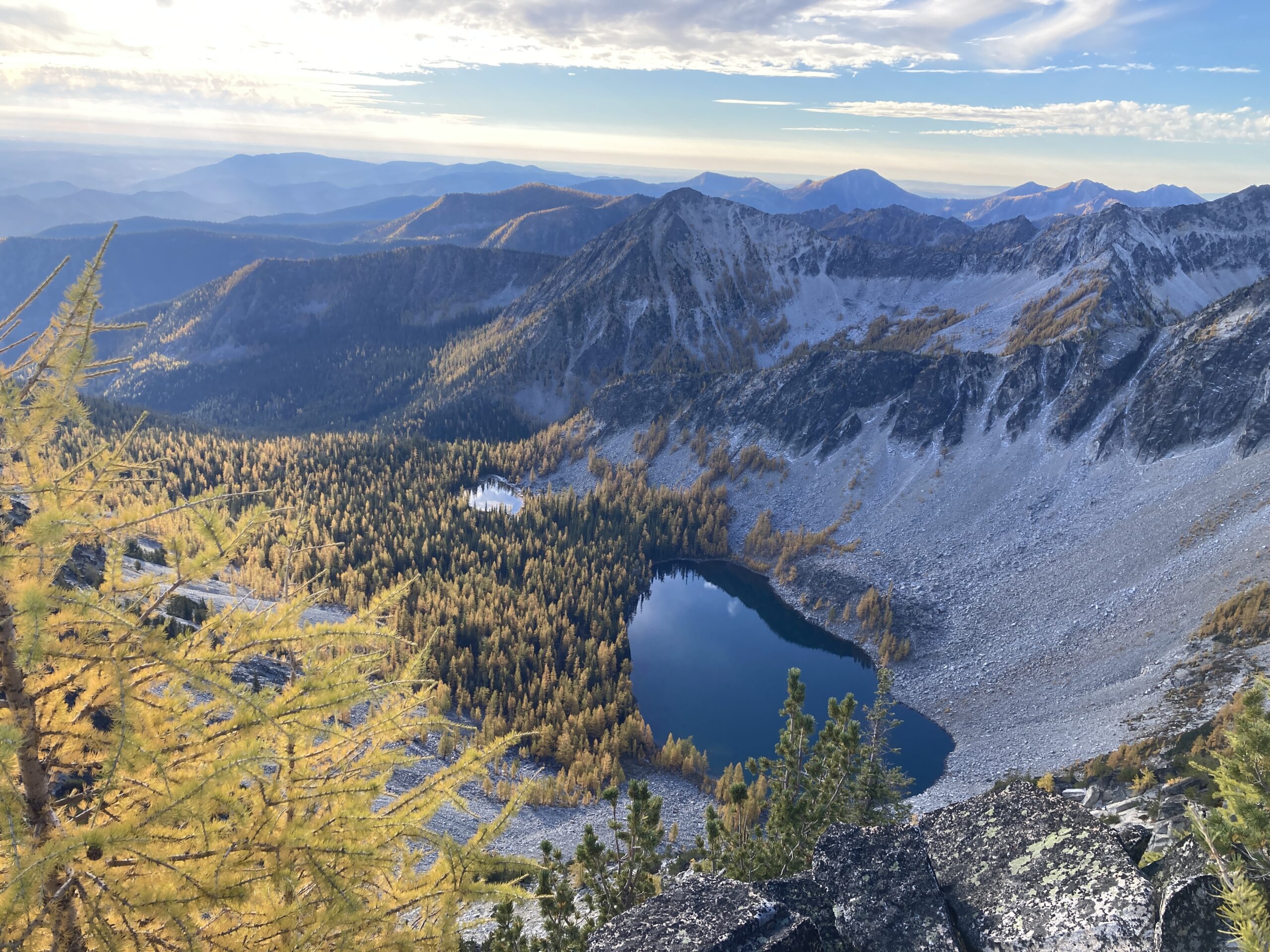
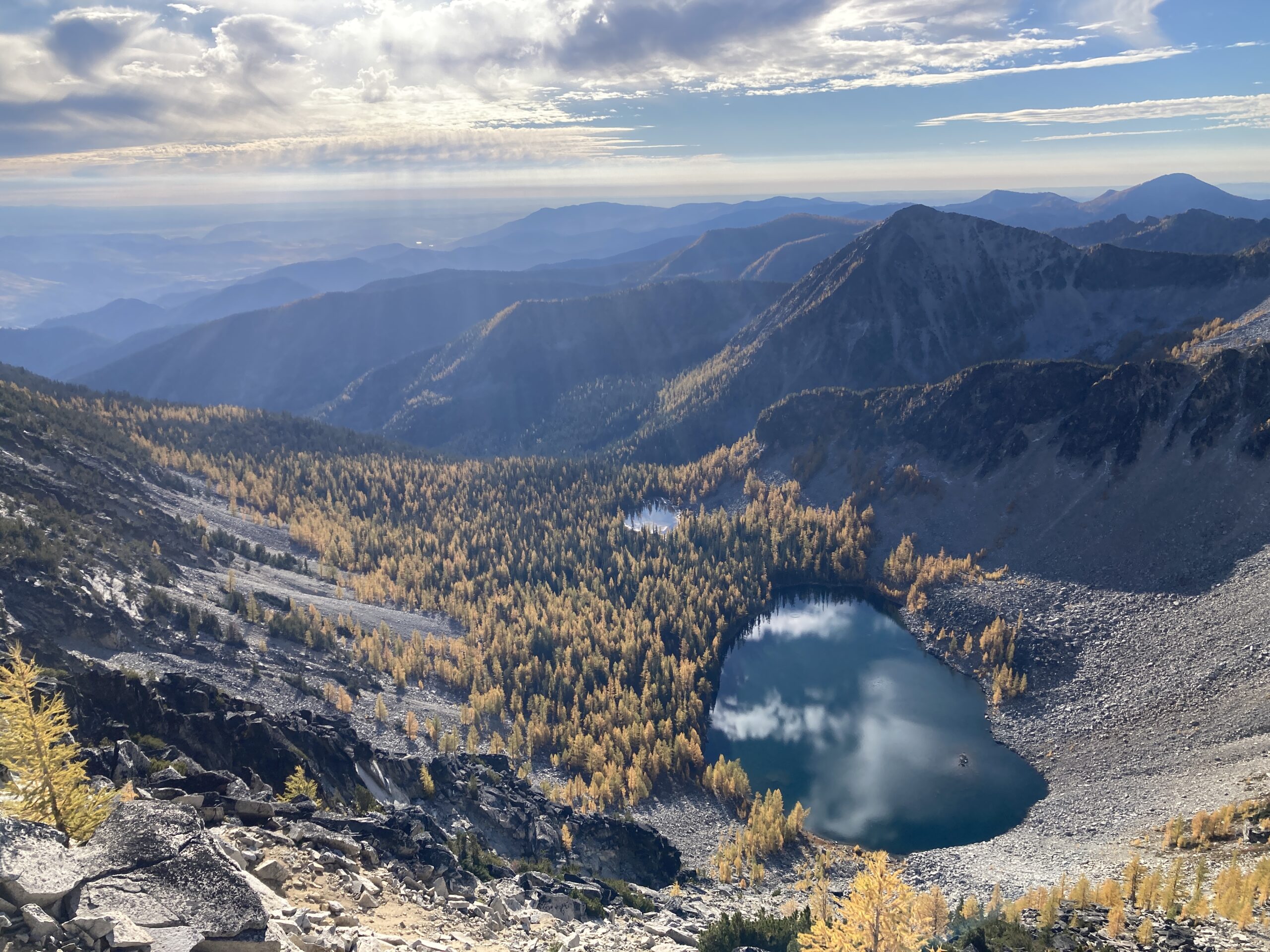
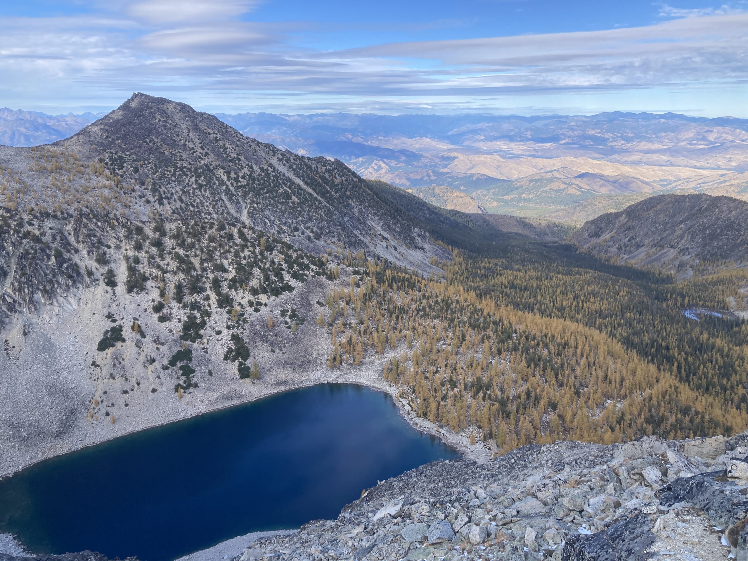
From the top we dropped down to Crater lake, picking our way down what looked or felt like the most gradual terrain, curving slightly west, and continuing to descend even when it was steep. We hit the northwest side of the lake and walked around the west shore to camp. We camped on the south side of the lake in a nice little spot in the trees.
The day in total was 8 hours 32 minutes. 5,305 ft. of gain, and 9.26 miles.
Day 2 – Mt. Bigelow (East Ridge) and hike out
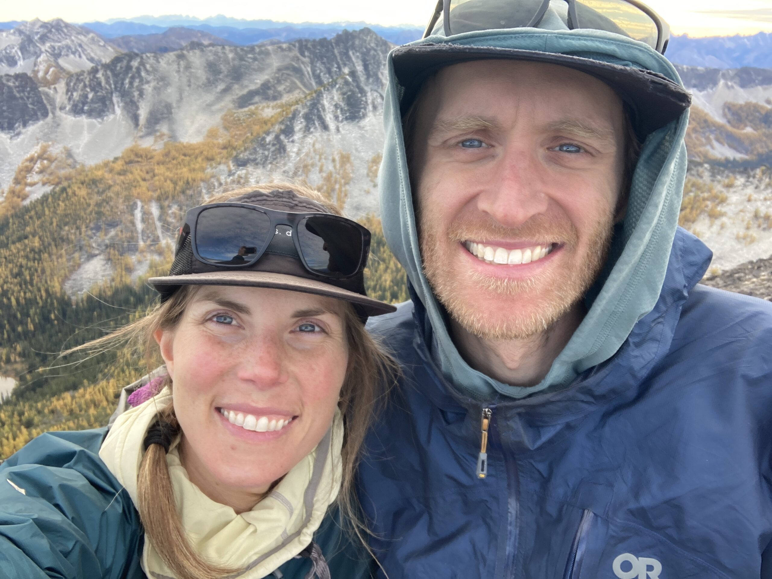
At 7 AM the next morning we headed up towards the upper Crater Lake, staying on the ridge/slope to the west, never nearing the upper lake itself. We walked off trail uphill to the bench above Crater Lakes. There is definitely cool camping up there! It’s beautiful with a few small streams running through it that had the tiniest bit of water even at this time of year. We continued through beautiful park-like terrain to the saddle directly west and above this bench. We then made our way along the ridge to Mt. Bigelow, occasionally scrambling down and around rocky outcroppings. It was very cool scrambling, fun, engaging, beautiful views the whole way. Loose rock for sure, like everywhere in the Cascades though, so some would call this chossy perhaps.
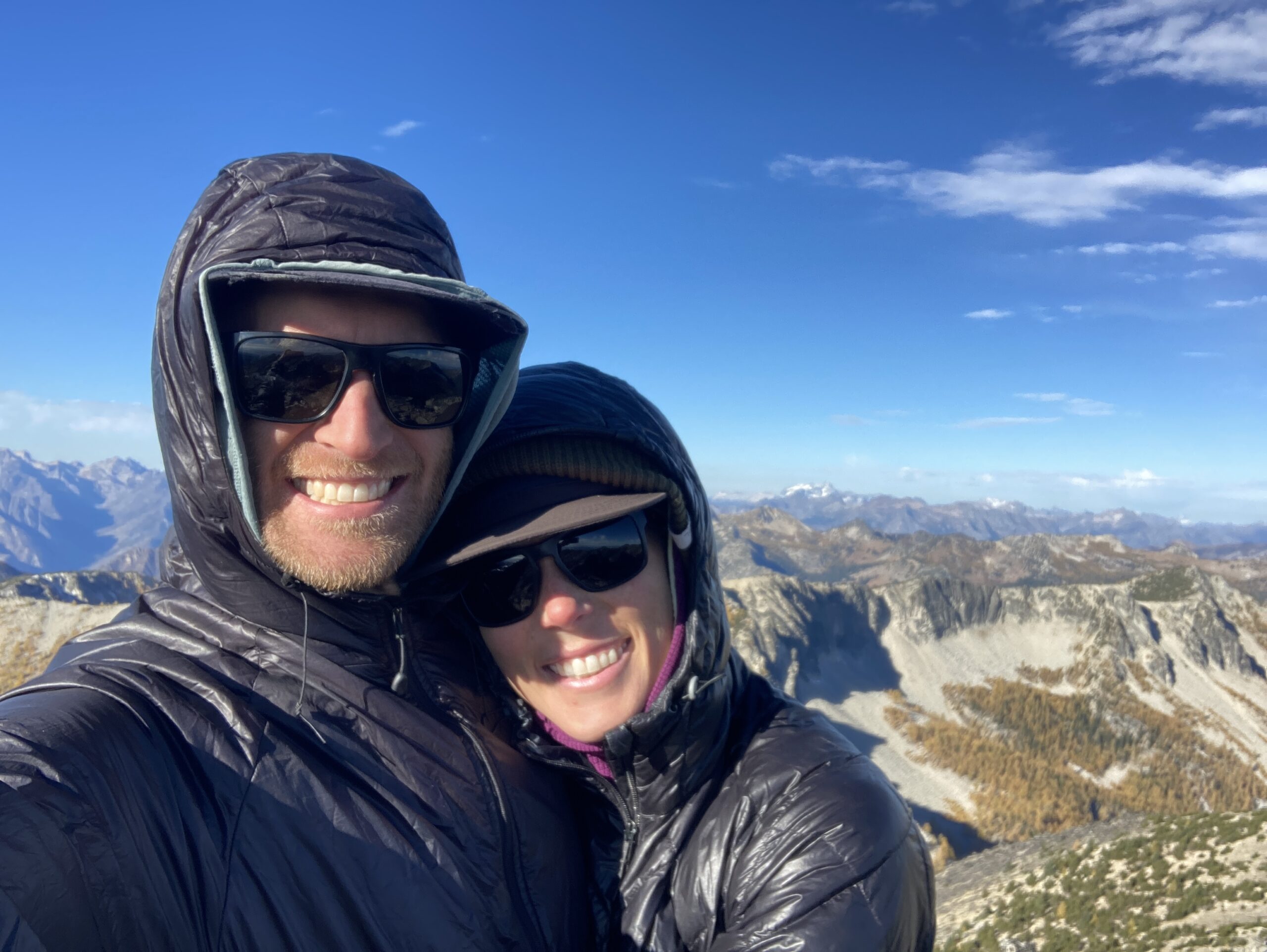
After a break on the summit, we descended the west ridge of Bigelow, to Hoodoo Pass. The trail here was good, as we dropped off north – back towards our exit. Down along the East Fork of Buttermilk Creek towards the old roadbed on the map. We wondered if our luck would run out and if the off trail section we’d need to do to get back to our car would work or not…
At about 5,000 ft. we left the trail/old roadbed and headed DIRECTLY up. This was strenuous and we bushwhacked at times but overall it was easier off trail travel than expected. Turns out when you expect the worst (aren’t sure if it goes) then anything that goes is a great relief! Ascending to the toe of the ridge on the north side of Hoodoo Peak, at about 6,400 we headed back down the ridge to meet the Libby Lake trail. We rejoined it at about 5,900 ft. and hiked on trail all the way back to the car.
All in all that day was 3,034 ft. of gain, 11 miles, and 8 hours. Fun time!