Trip Report
Ragged Ridge: Kimtah & Katsuk
Trip Overview
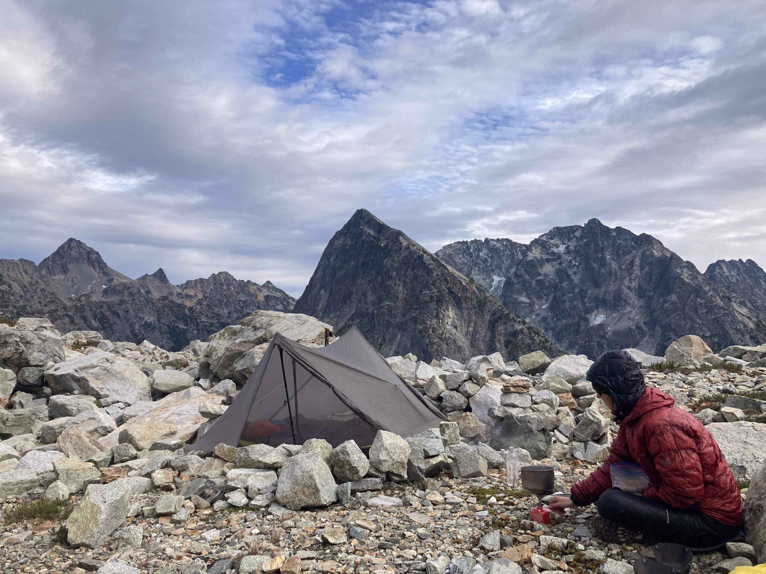
We went out to climb some of the peaks along the Ragged Ridge. On the first day, we started mid-morning, hiked up to Easy Pass, and then traversed the slopes to the basin just south of Mesahchie Peak, where we found a small puddle that likely stays there most of the summer and a few small bivy sites. On the second day, we headed out and climbed Kimtah Peak, attempted to travel over to Cosho, but there was no straightforward way onto the glacier. Then, the final day we walked over to the col at the base of Mesahchie, but turned back and climbed Katsuk Peak and then hiked out. A great fall trip, and it felt like a ton of exposure to the challenging terrain of the Ragged Ridge.
Day 1 – Hike in via Easy Pass Trail
Oct 11, 2024 10/11/2024
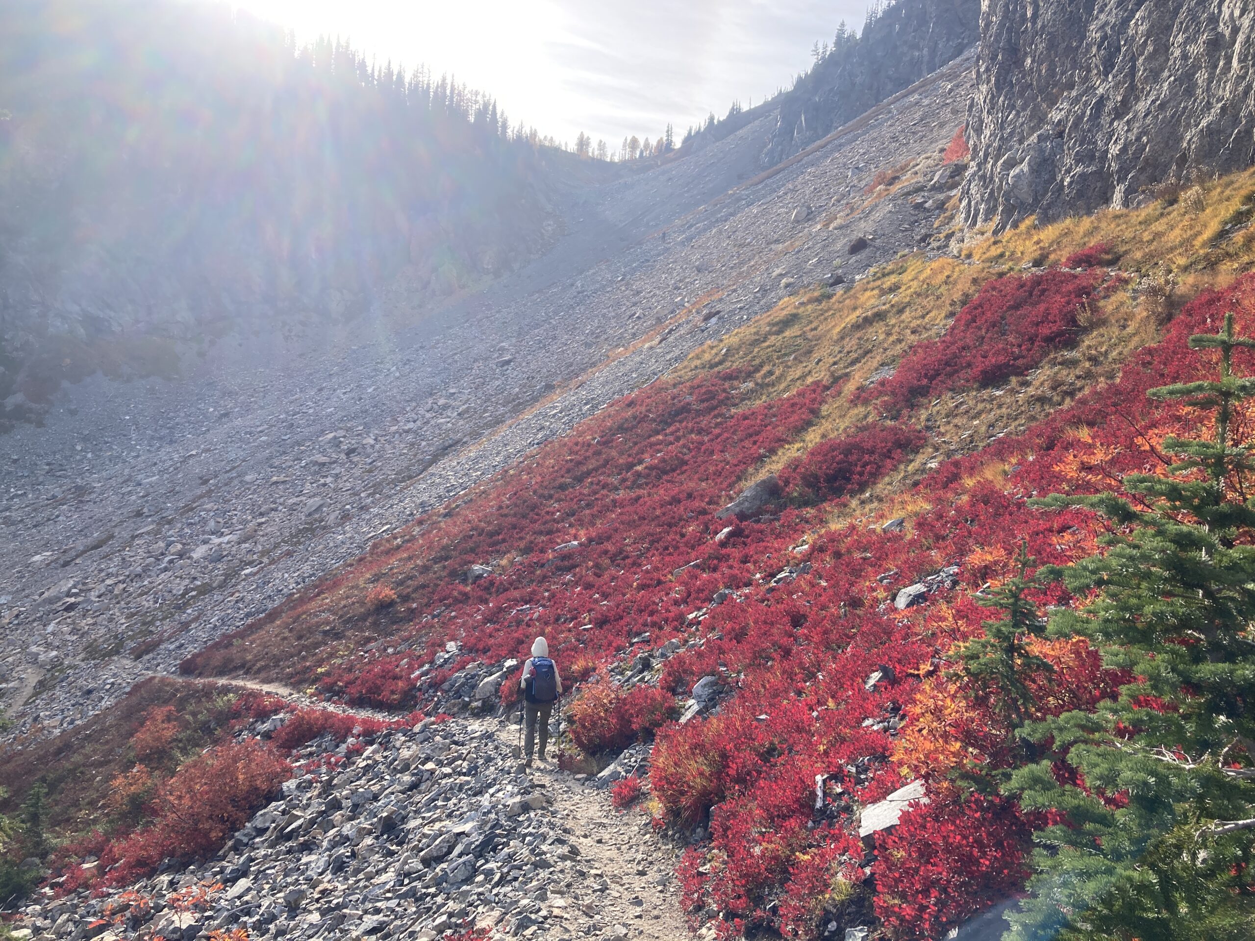
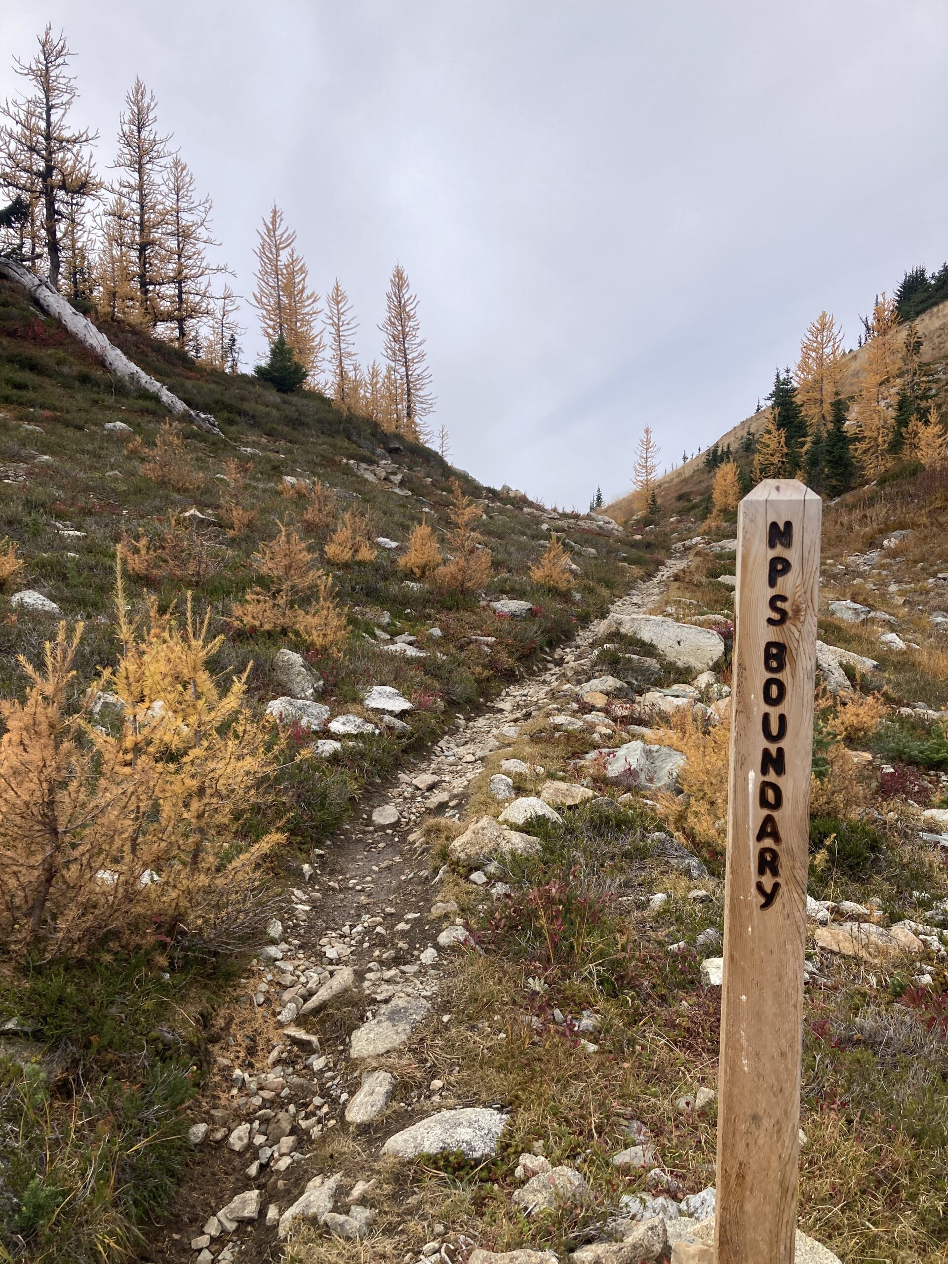
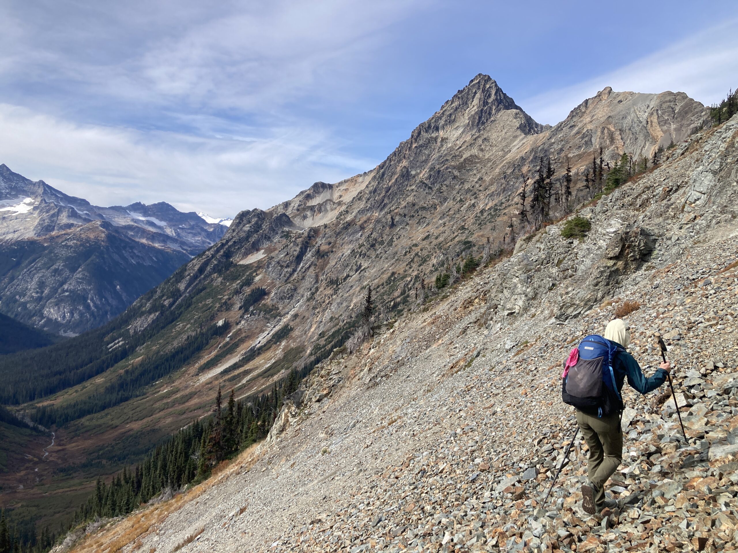
We left the trailhead at about 10 a.m. and took the easy trail up to Easy Pass. We took a break at the pass around 12 p.m. & ate lunch. Left the pass just before the trail hit a switch back on a use trail beginning the traverse at aroung 6,600′. We followed the use-trail until it disappeared and continued as we made a gradual decline to around 6,400′ eventually climbing to just above 6,600′ to cross over into the basin below Mesahchie.
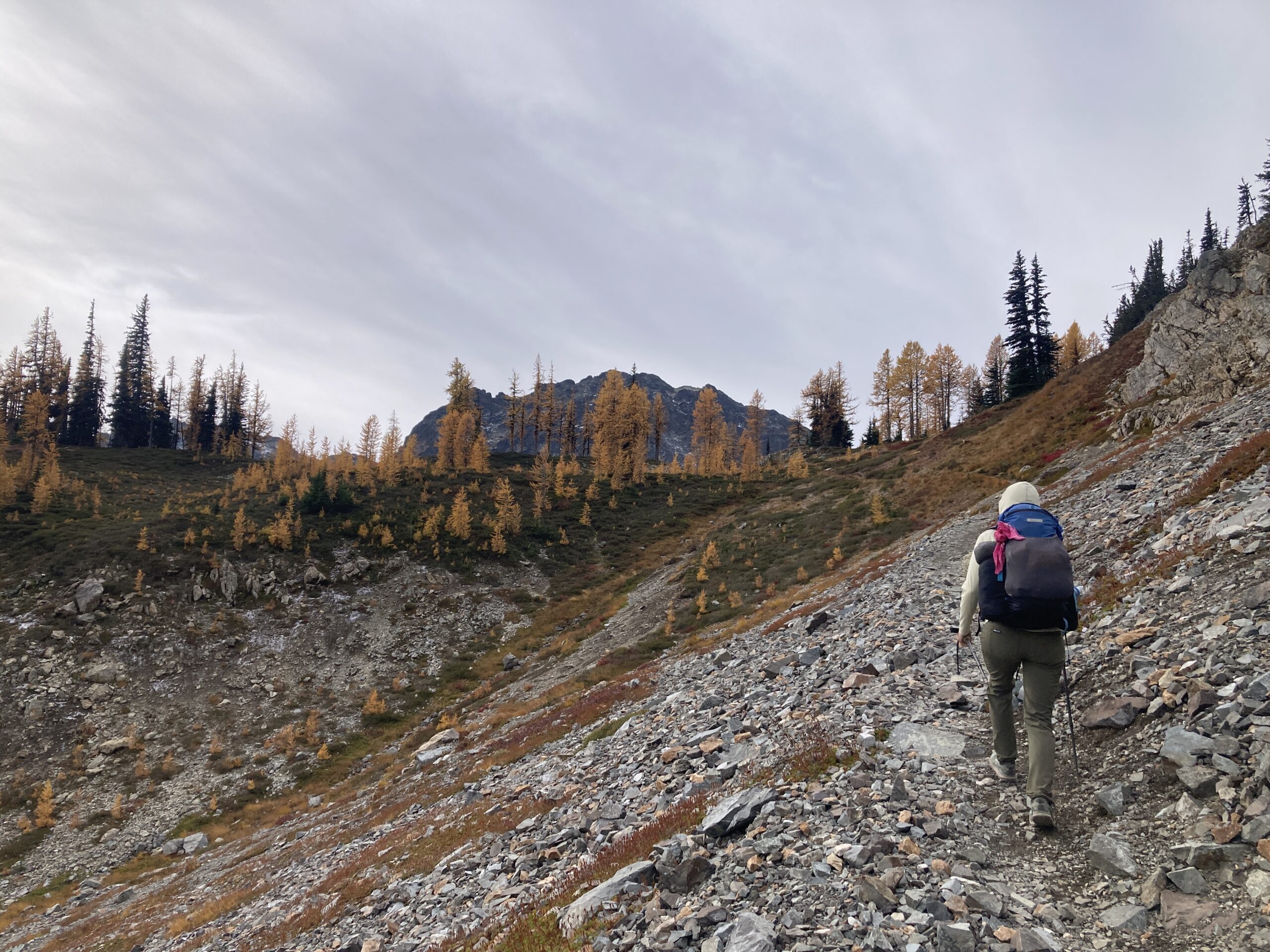
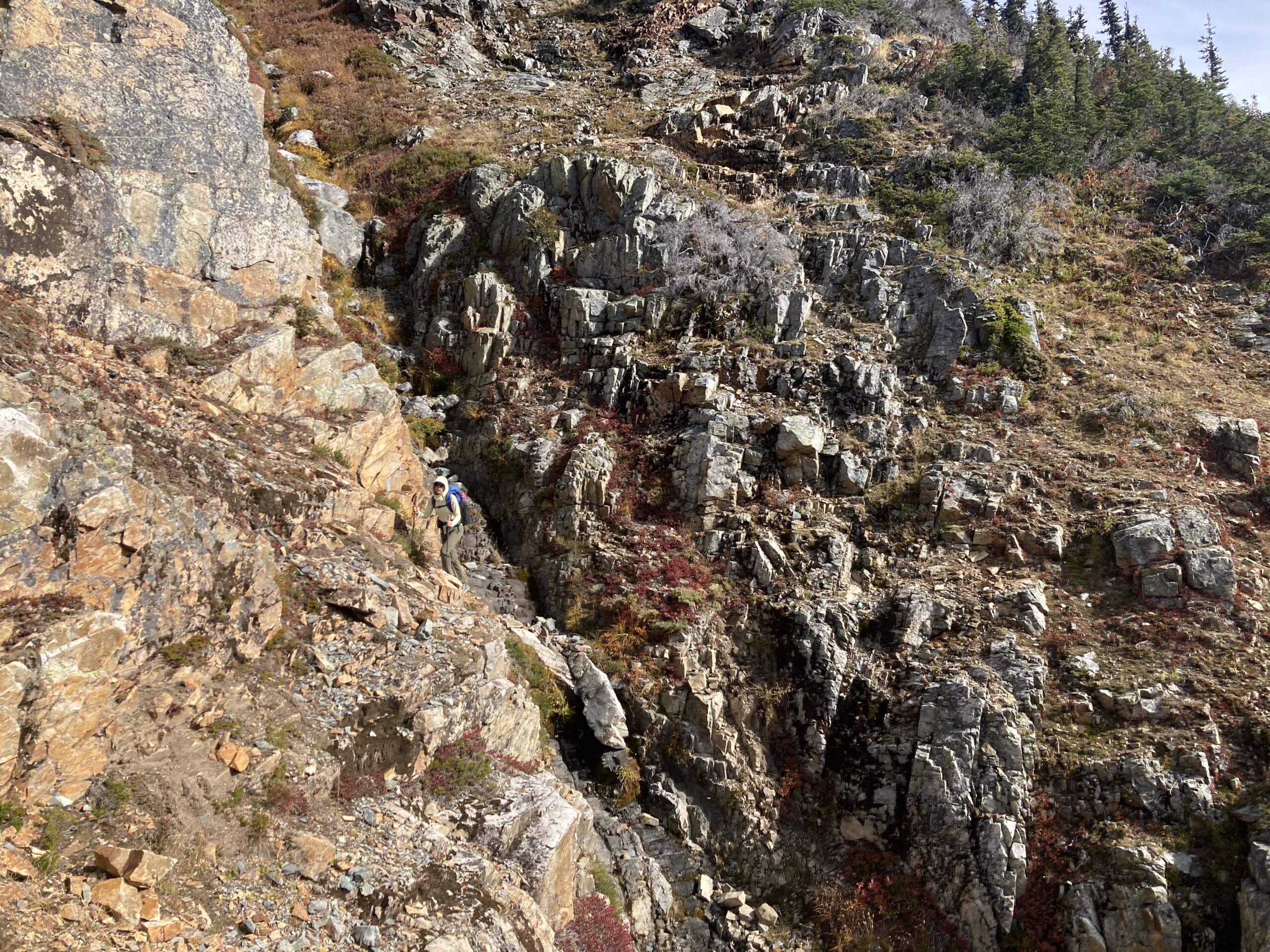
Traversed on mixed terrain, some steep and little loose over many gullies starting at 6,600′ and then slowly dropping to around 6,400’. We crossed the main waterfall that people write about around 6,400’ below a big chute in the falls. In October this was no problem at all.
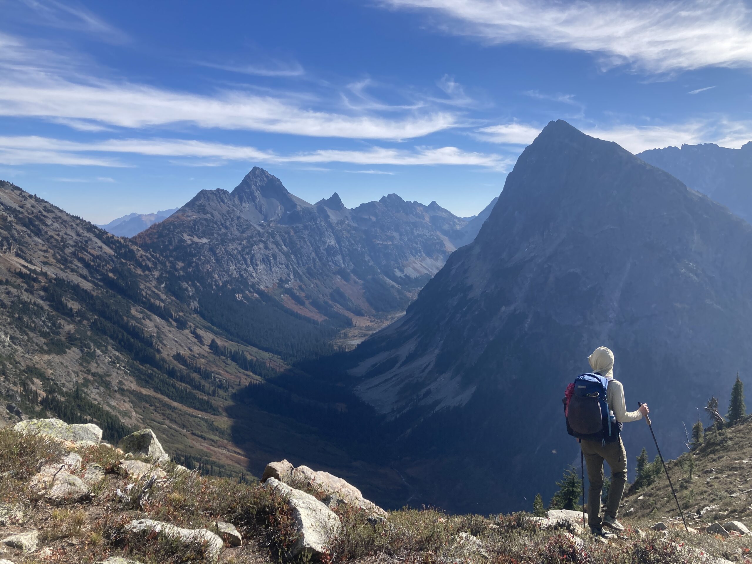
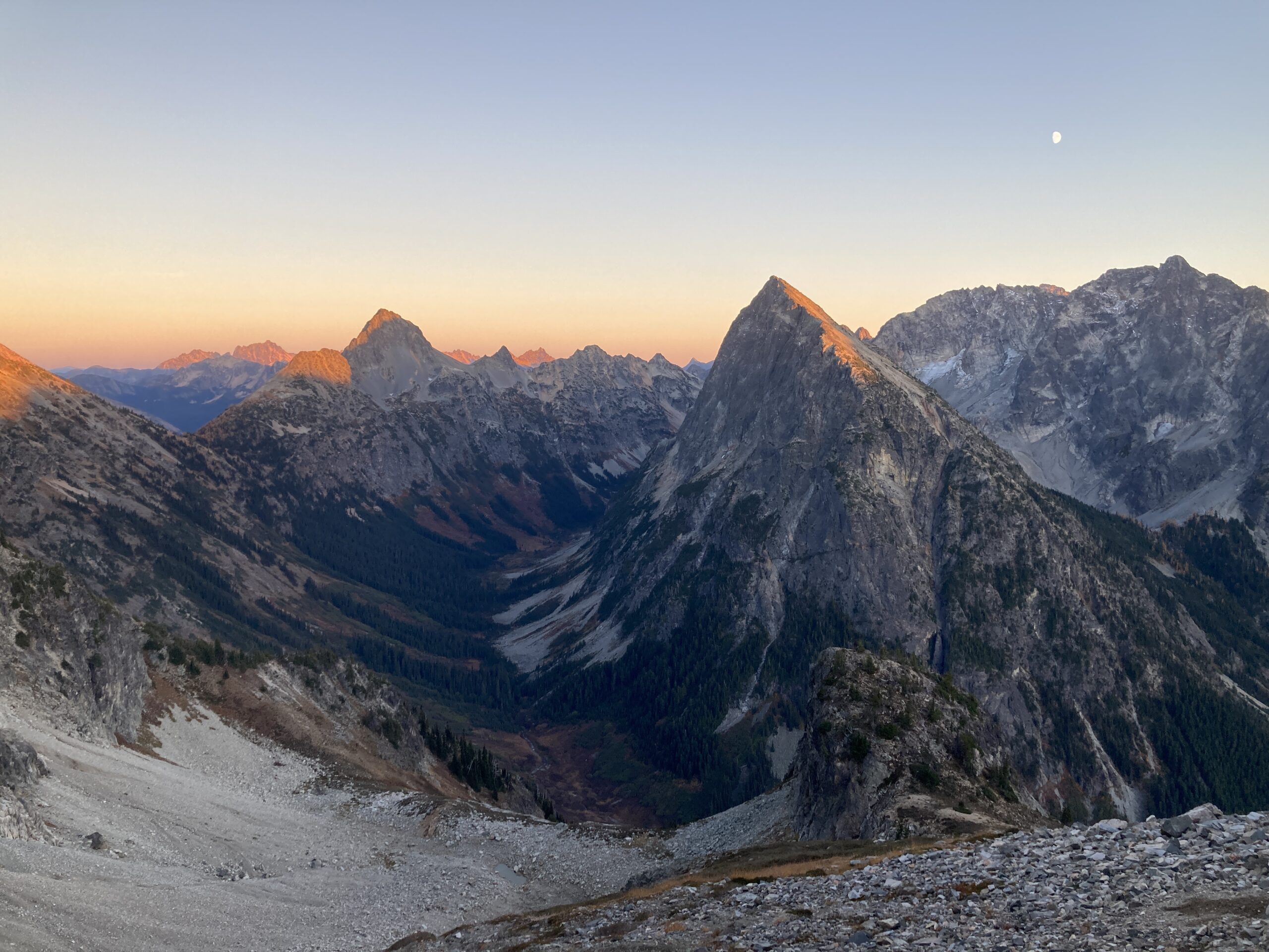
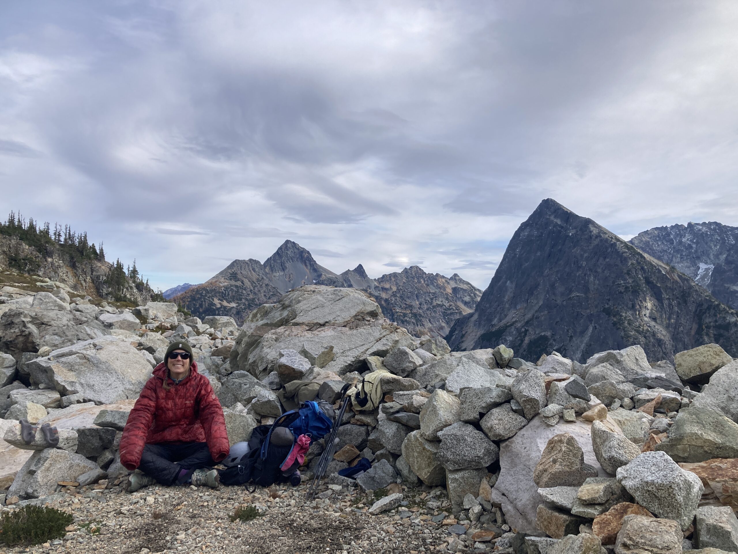
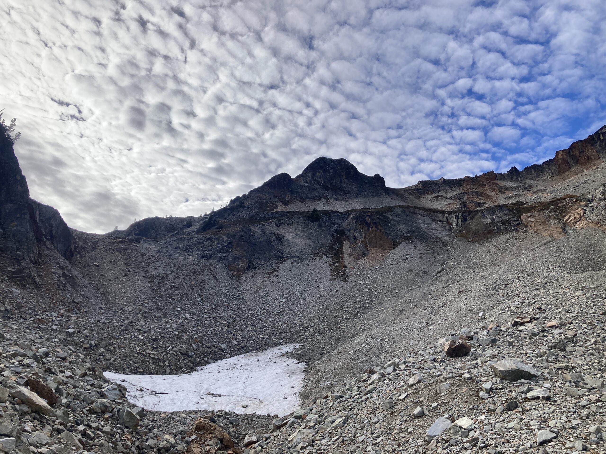
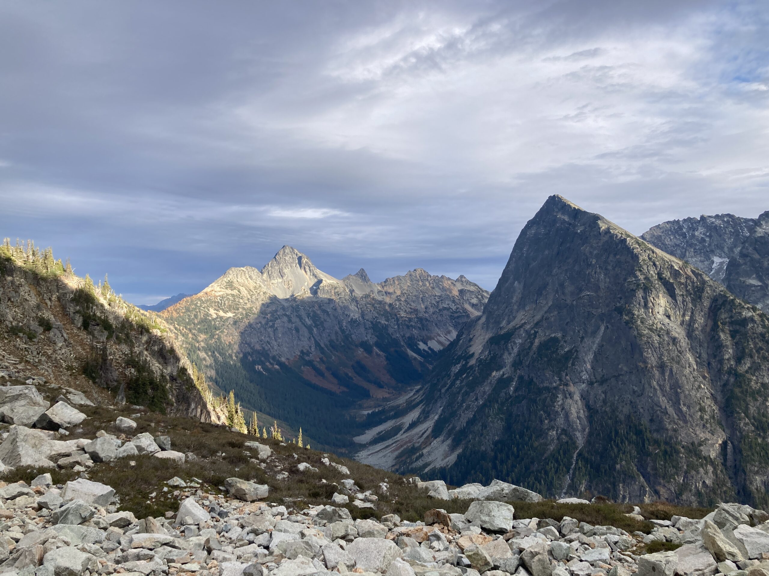
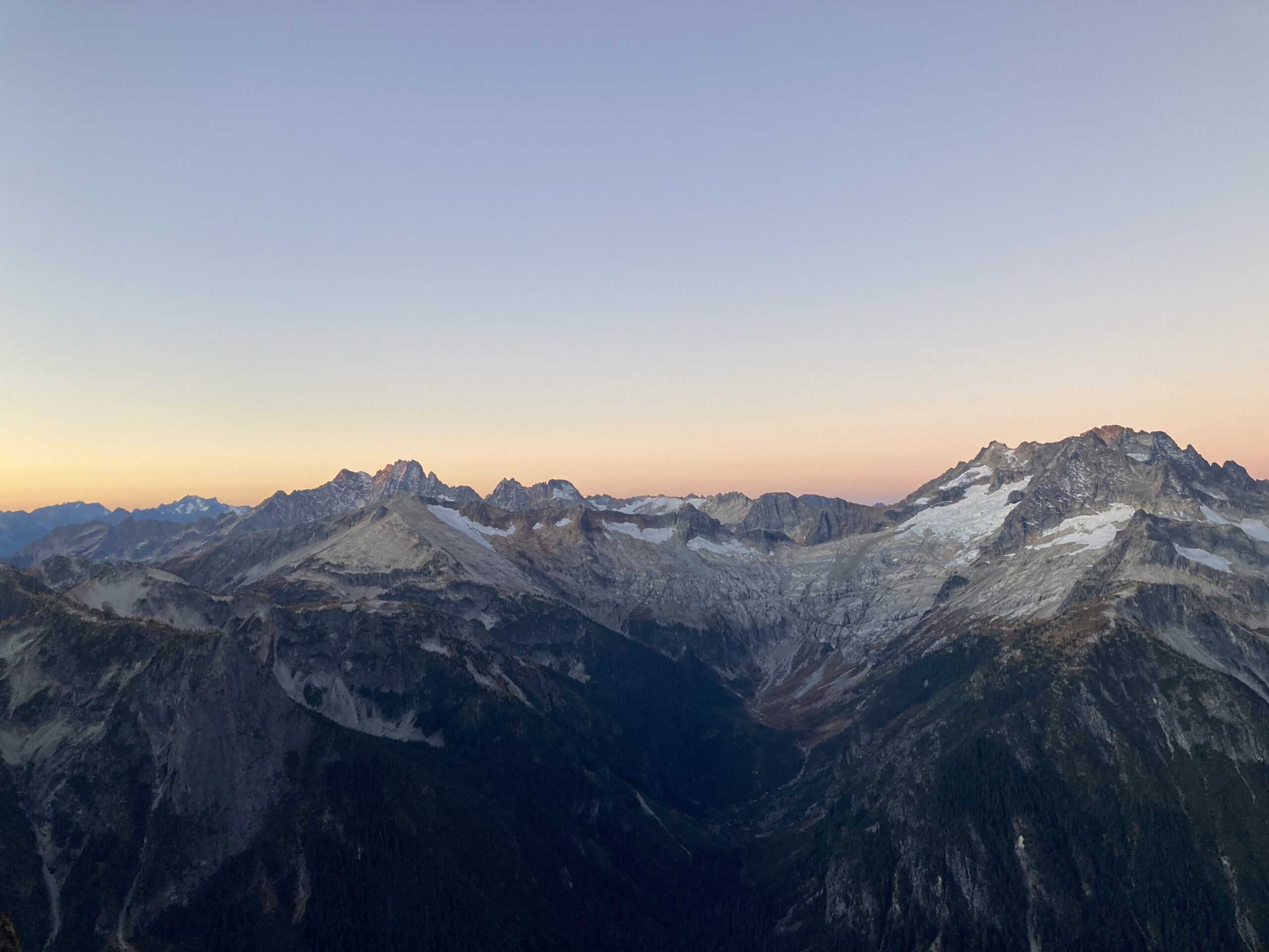
We then ascended rocky ribs and grassy slopes to the basin below the obvious knob south of Mesahchie. Here we found a small puddle of water from snowmelt which was our source for the trip. We came across basically no other water on this trip (other than the aforementioned waterfall). We arrived at camp at 2:30pm. We enjoyed great views, found two bivy sites, each fits one tent. We had a short discussion and decided we didn’t have enough time to go for a peak that day, so we watched the light change and admired the fish-eye feeling view of the deep valley below with great views of Goode, Logan, Fisher, and Arriva. We ate dinner, and went to bed early.
Day 2 – Climb Kimtah Peak
Oct 12, 2024 10/12/2024
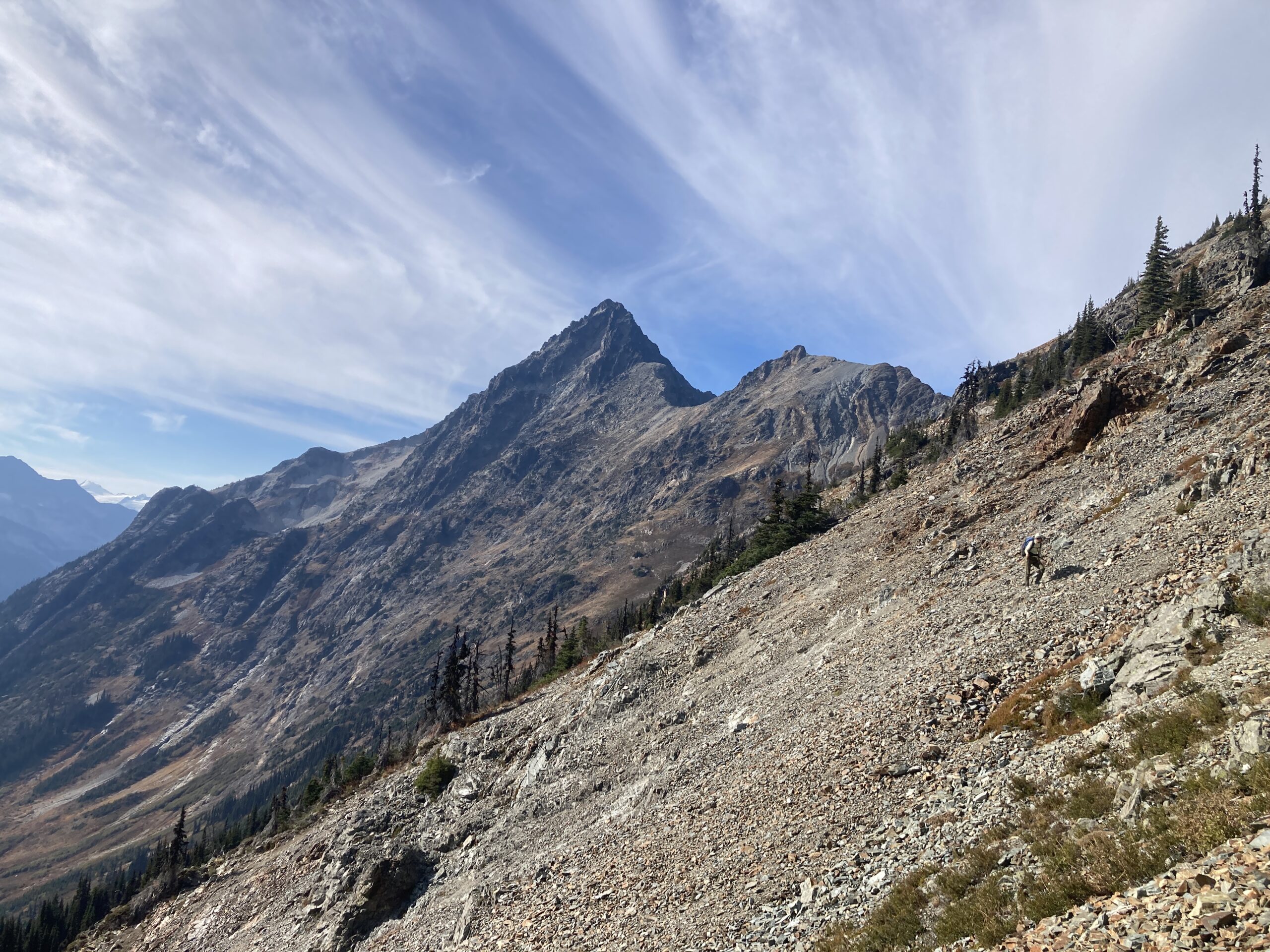
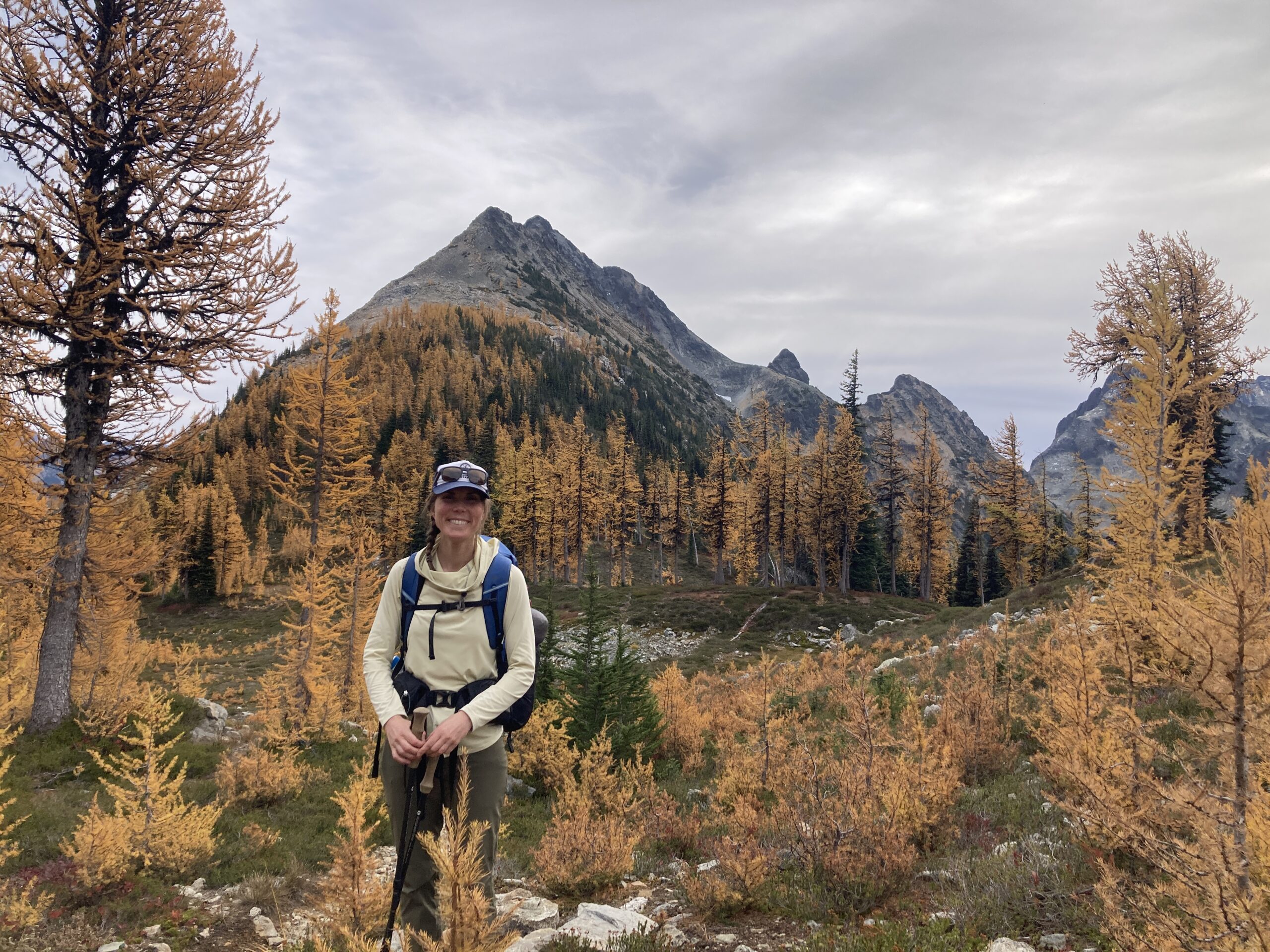
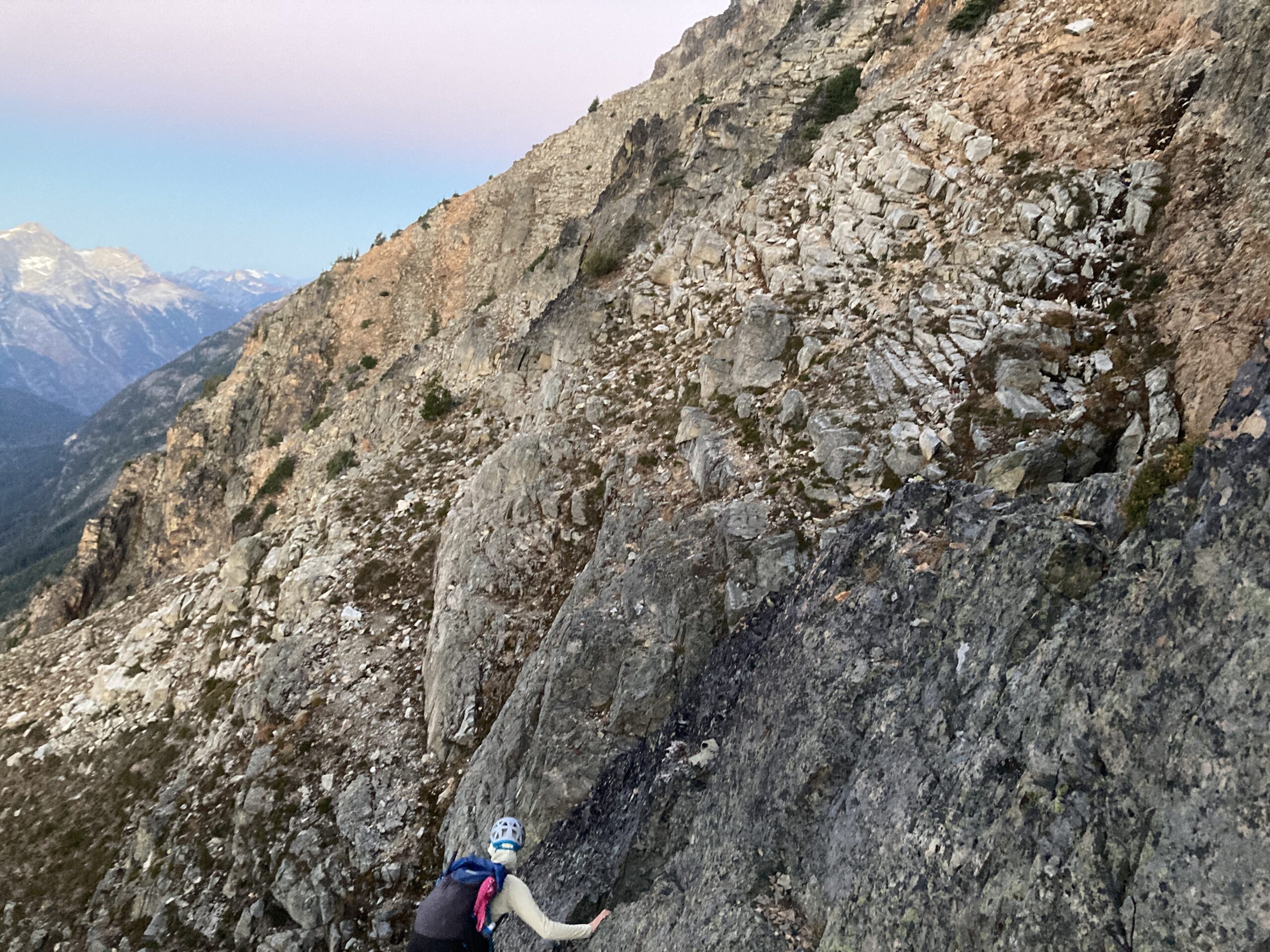
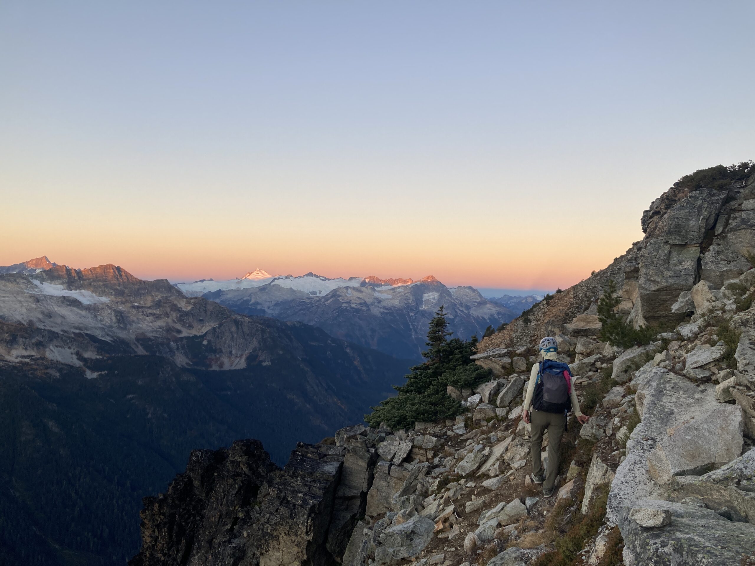
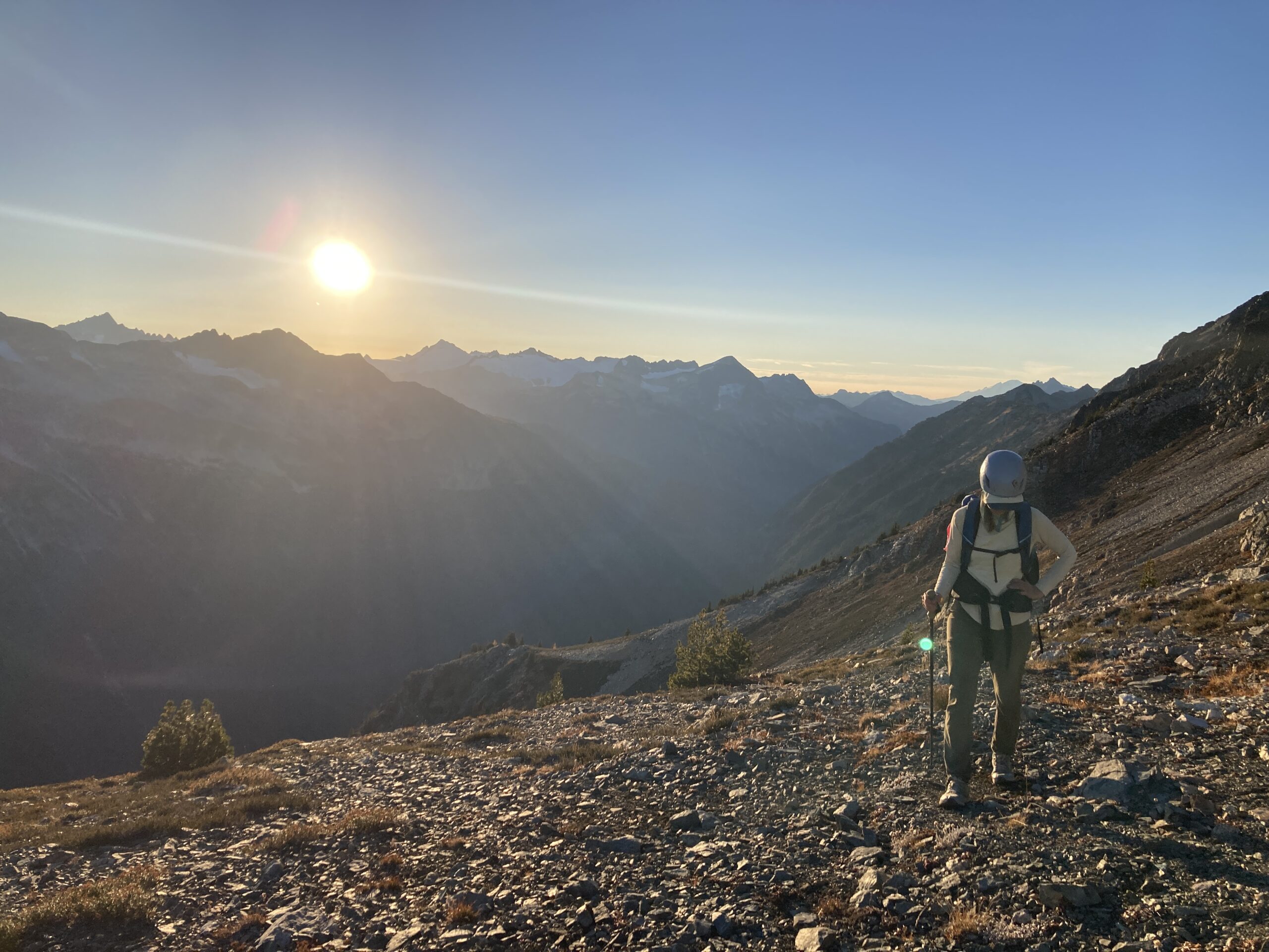
We woke up and started hiking right at sunrise. Once we climbed up to the saddle at 7,400′ the views towards Mount Logan, Goode and Eldorado were awesome! At the beginning of the traverse we stayed between 7,400′ and 7,600′ on some steep, loose and crumbly terrain. We encountered a few steep and loose gullies that required some tedious and heads up travel. Eventually, we gained the west ridge line of Katsuk right around 7,800′, just before the low point between Kimtah and Katsuk.
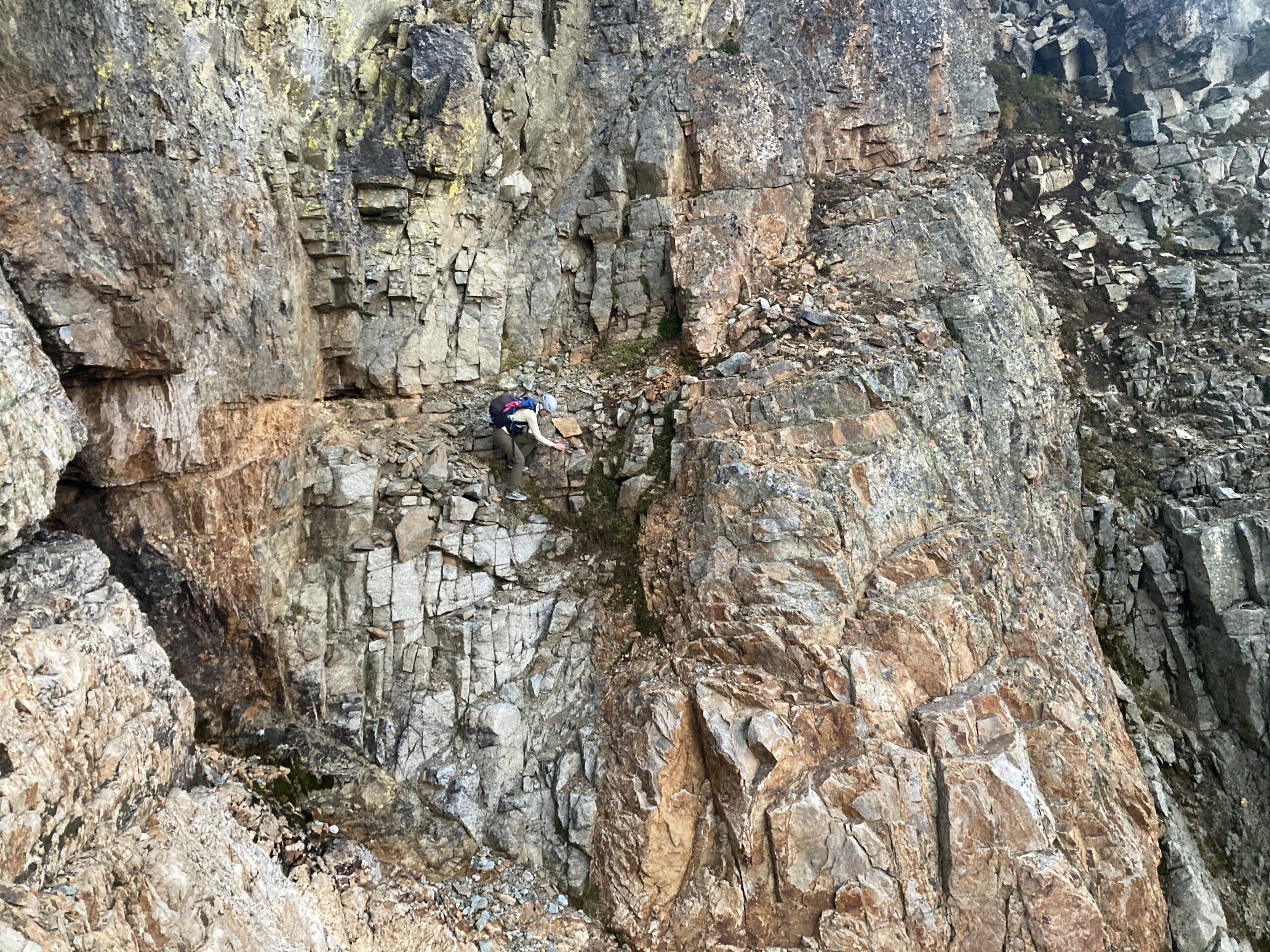
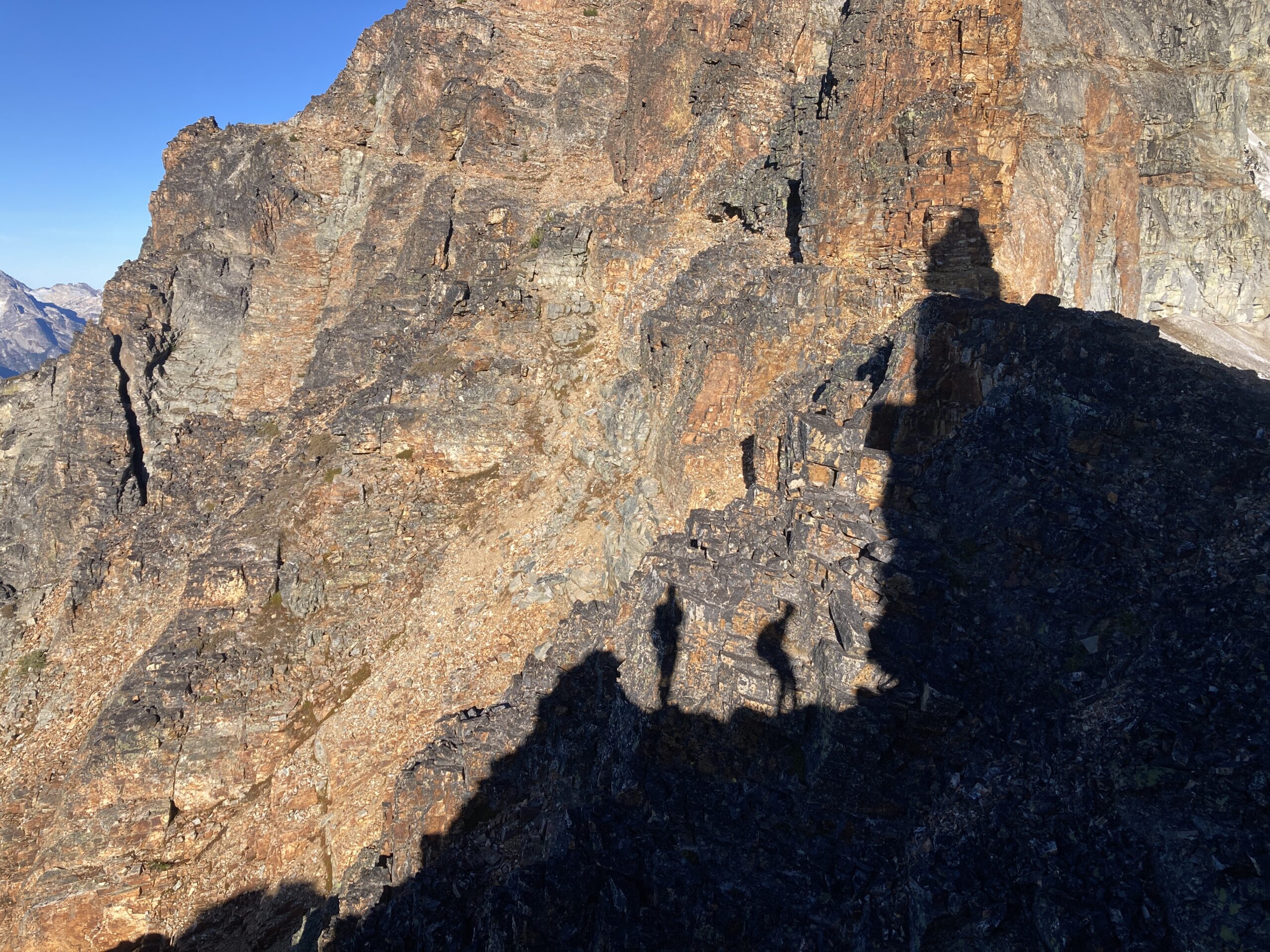
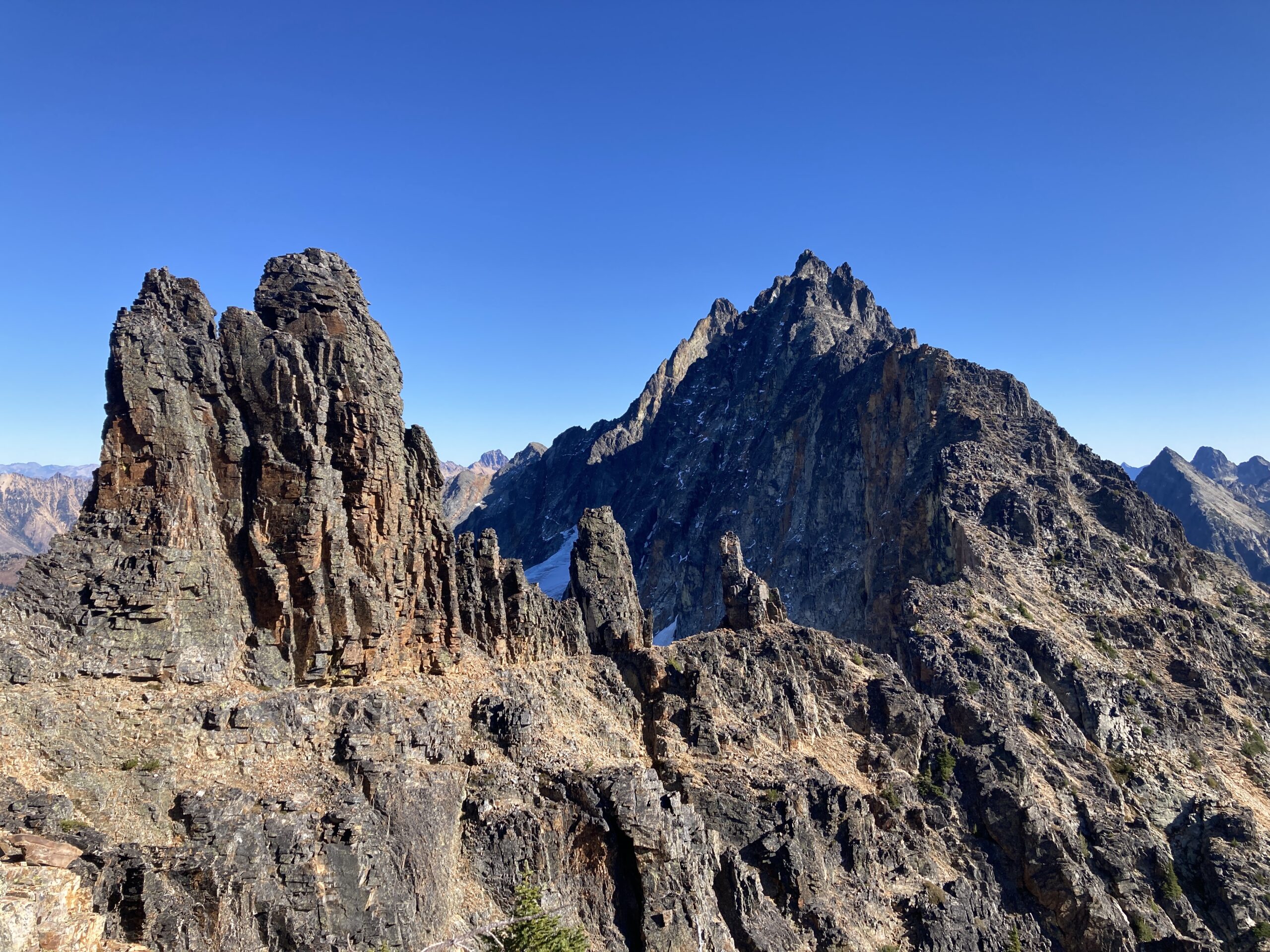
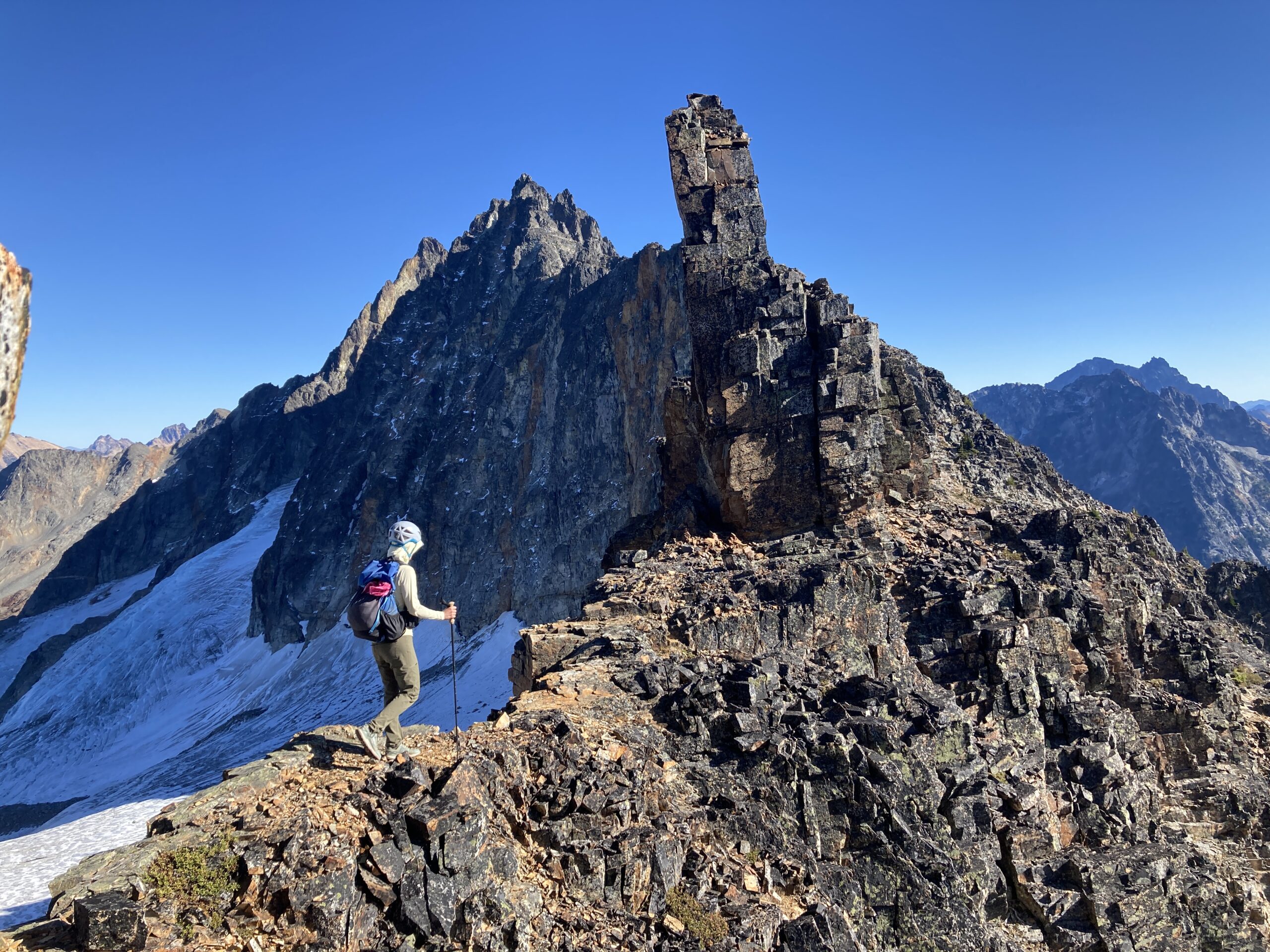
From here, we stayed directly on the ridge line or on the south side of it working to take benches and shelves as far as we could. At one point we walked a sidewalk in the sky section between some of the gendarmes, which made for some fun and exposed travel. At around 7,800′ after we crossed through the gendarme section between Kimtah and Katsuk we stayed on a very prominent bench that led us around to the southeast open and broad slope up to the summit of Kimtah. There was some loose rock here, some rock benches and a bit of sandy scree. Then, we walked along the east ridge of Kimtah and made the final few exposed Class 3/4 moves to the summit. We took a moment to enjoy the view, but we knew we needed to keep moving as the travel was slower than we anticipated.
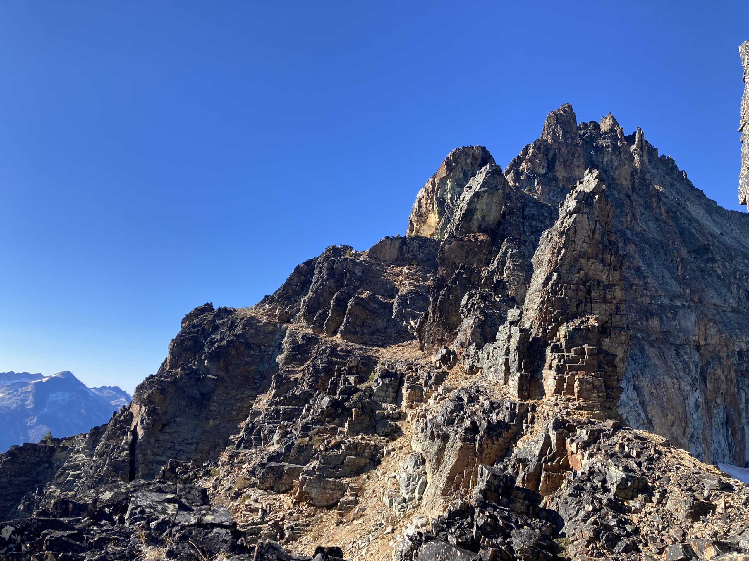
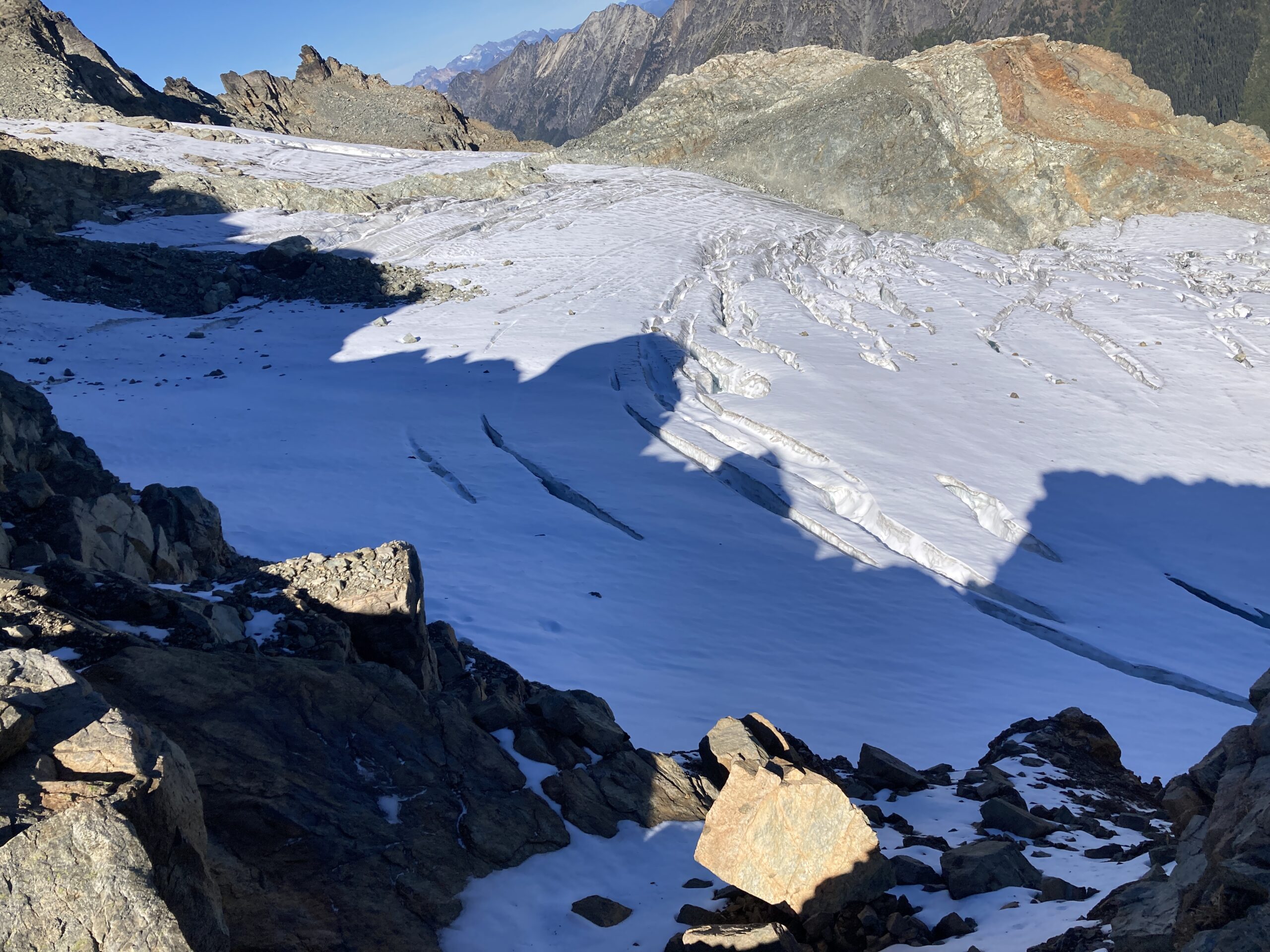
After a quick break on the summit, we scrambled back down and started the journey towards Thieves Peak. We got to the notch just below Thieves Peak and could not find an easy way onto the glacier and we were running low on time. We decided that the best decision was to turn around and not go for Cosho Peak as we didn’t want to do any of the traverse on the way back in the dark. We started our way back trying to choose a similar way as to which we came, but ended staying a bit lower in elevation, which, to us, felt like much more challenging terrain. One of the more challenging gully crossings while traversing back below Katsuk Peak required us to climb up and back down. Honestly, I couldn’t tell you with much accuracy what route we took on the way back as we were just taking any path of least resistance we could find.
We made it back just as the sun was setting, ate dinner, had a fun dessert from the Mazama store and went to bed feeling exhausted from the mental and physical output of the day.
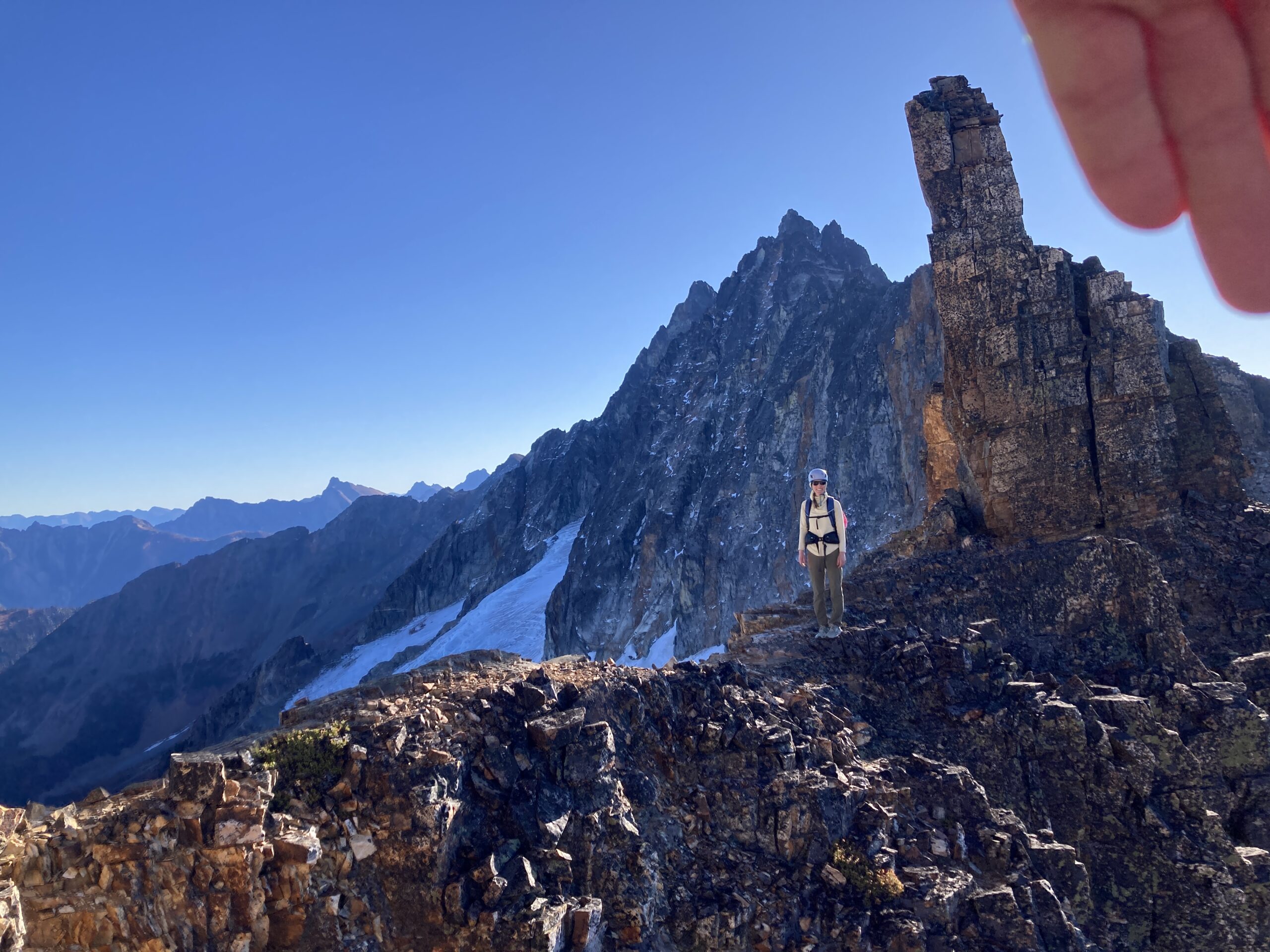
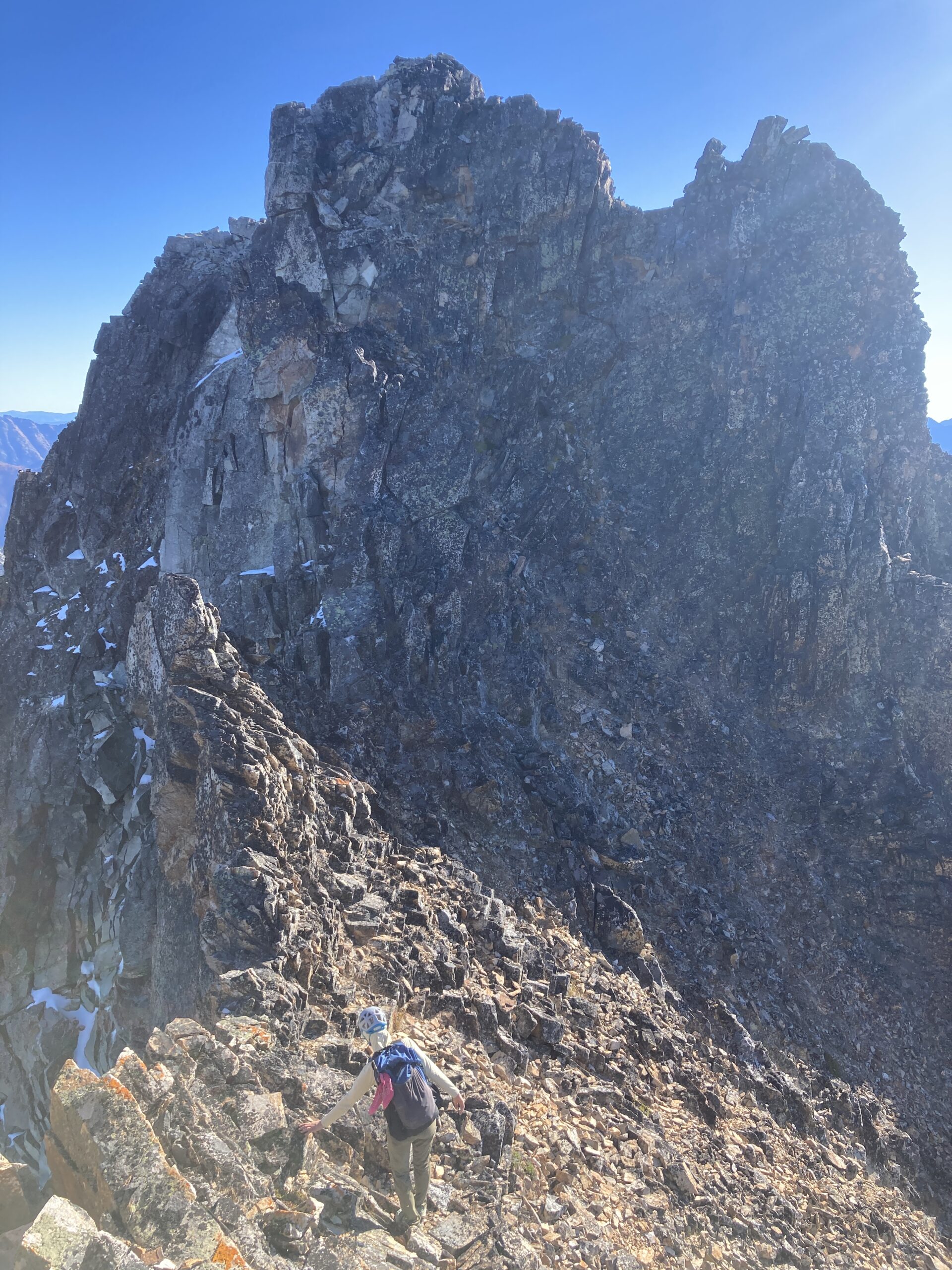
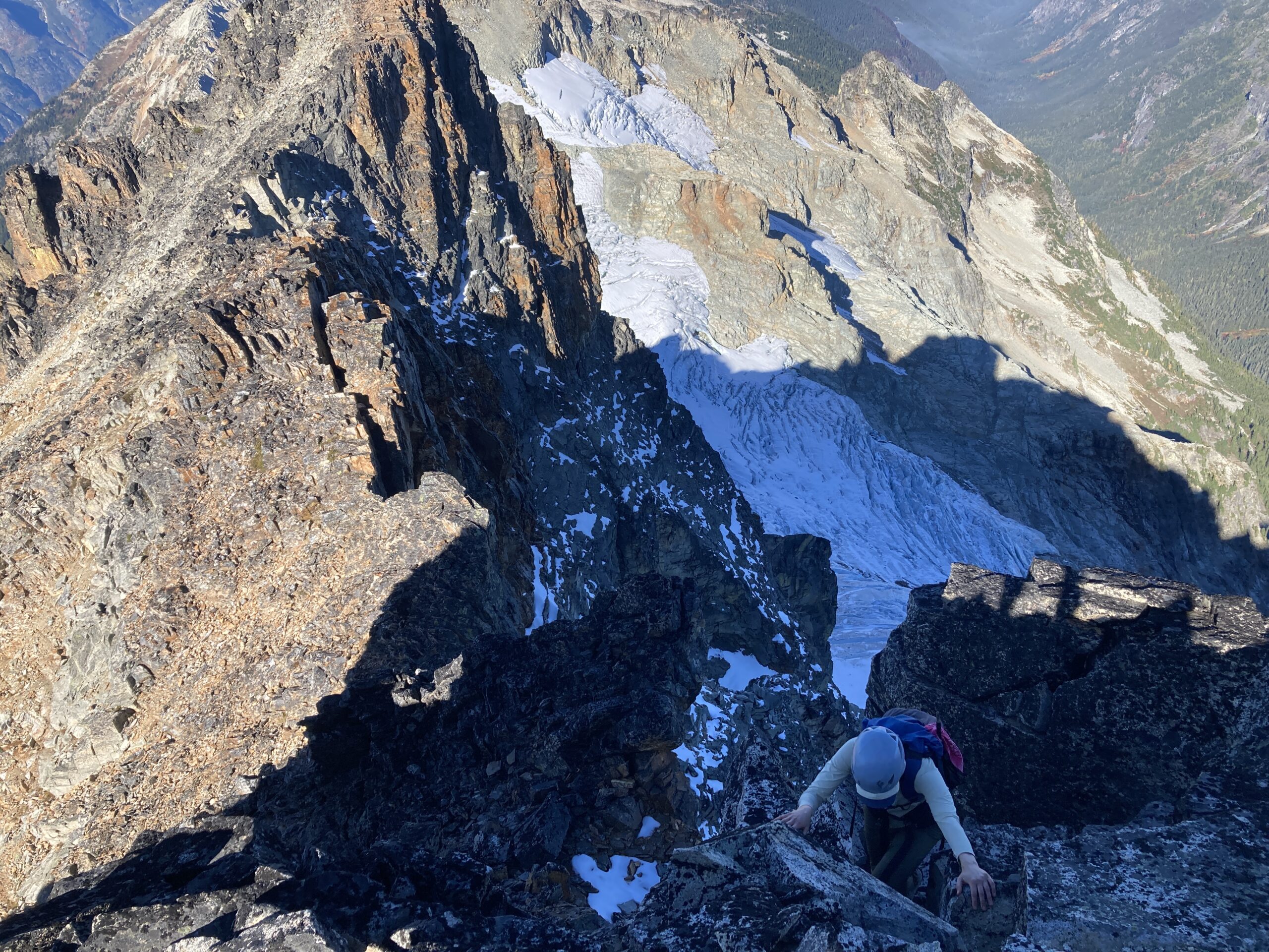
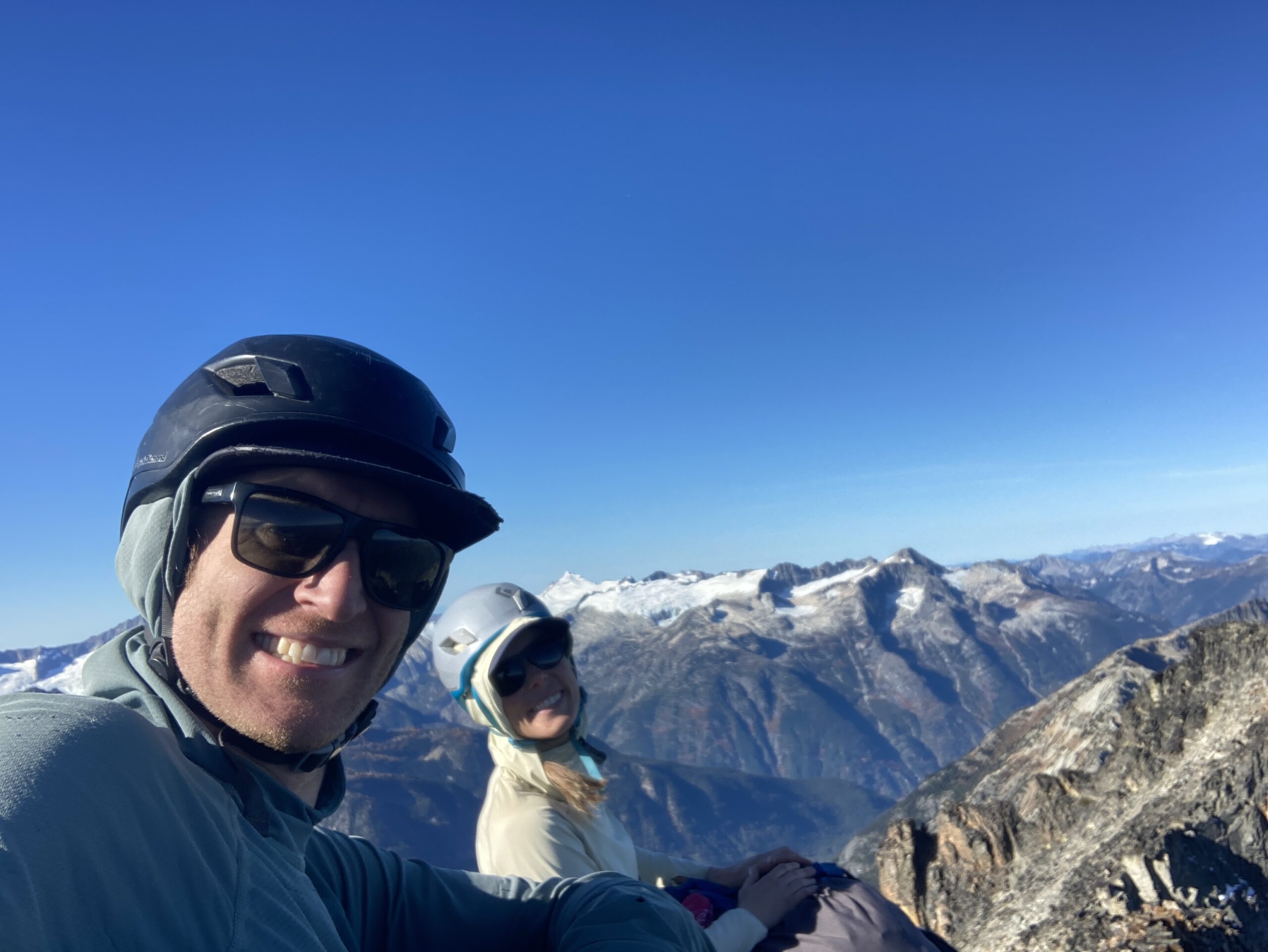
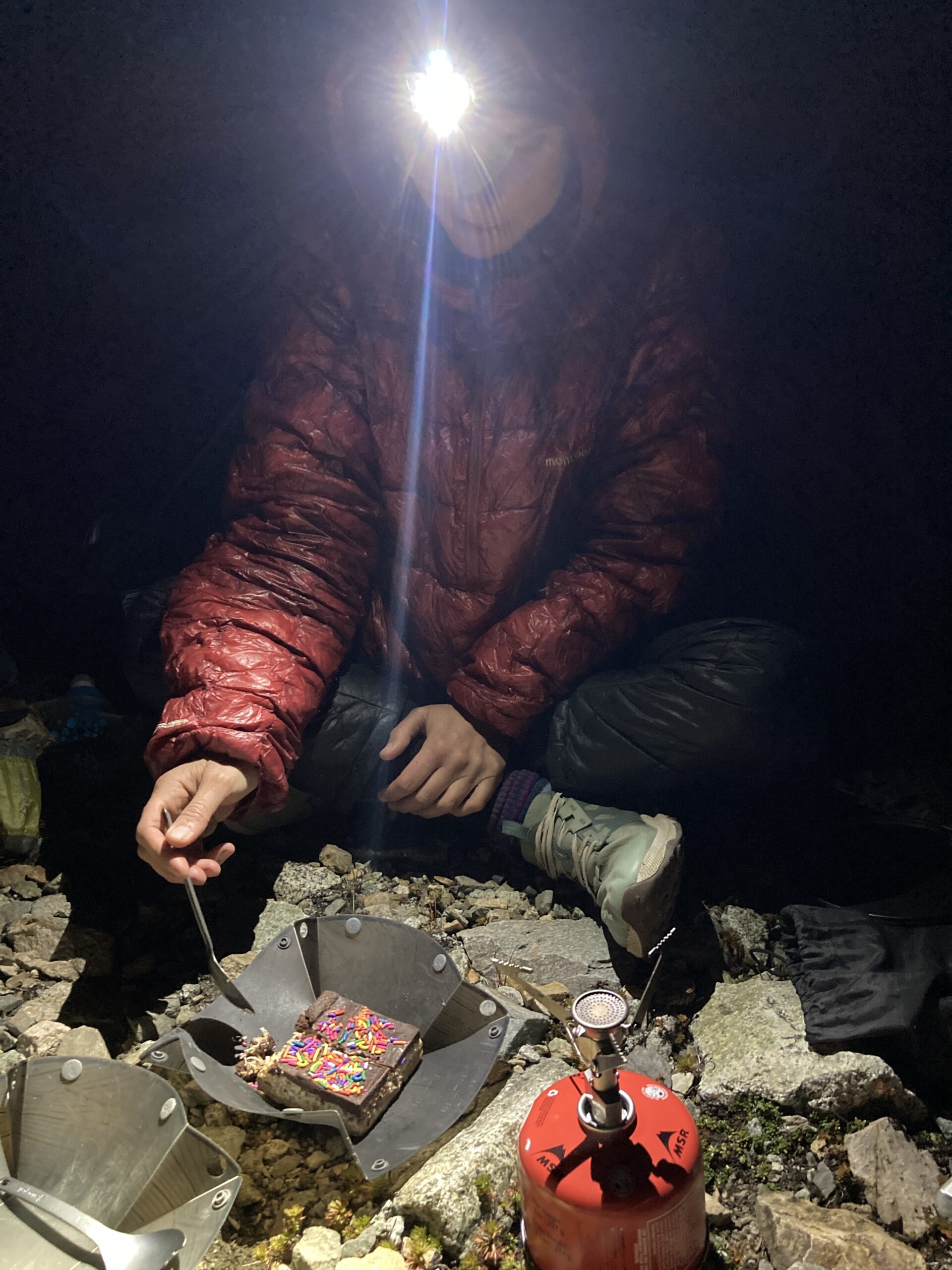
Day 3 – Climb Katsuk Peak
Oct 13, 2024 10/13/2024
We started moving right at the sign of first light with our headlamps on making our way back up to the saddle above our campspot. We had hopes to climb Mesahchie Peak and Katsuk Peak today and then hike out and head home. From the saddle we followed the ridge line north towards the high point just east of Katsuk Peak. There were intermittent cairns to follow and one steep, exposed section around 8000′ that felt like it had one or two Class 4 moves. Once through this section we followed the talus to right below the high point and turned east following open slabs and ridge line down to a bivy spot at the Mesahchie saddle. At this point, we were feeling very intimidated by the gully we were planning to climb up Meashchie Peak and decided to not go for it. I think we were still feeling pretty maxxed out from the terrain the day before.
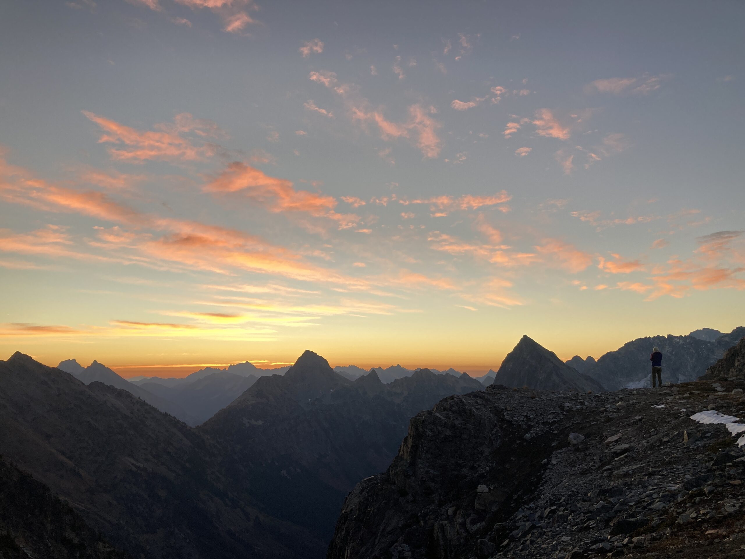
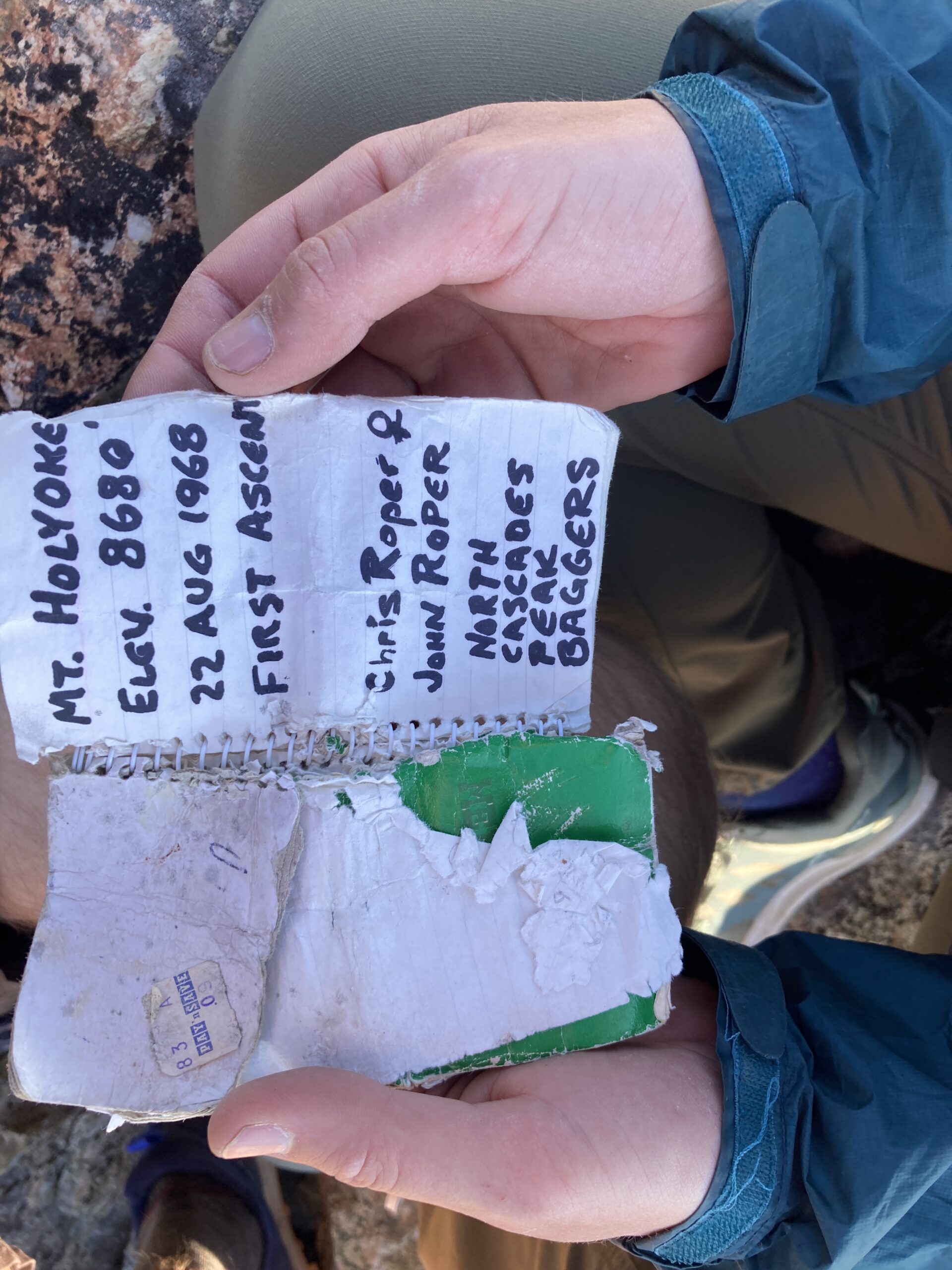
We headed back west along the ridge line and made the fun Class 3 scramble to the summit of Katsuk. We took a break and enjoyed the views while we checked out the old Mount Holyoke summit register. Then, we headed down the same way we came up the summit block, but decided to follow slabs all the way down the large gully below the route we took up Katsuk. This route proved to be fairly straight forward with some steep slabby sections at times.
We made it back to camp, packed up and started the long traverse back to Easy Pass – we chose a different (read: much worse!) route on the traverse back to Easy Pass and were relieved to have made it to a well defined trail when we got to the pass. The hike down to the Easy Pass TH was uneventful. We were grateful to have had such a humbling experience in the mountains on this trip. Ragged Ridge felt like some very rugged terrain and some good experience building for what travel can be like in the Cascades!