Trip Report
Mount Goode & Storm King
Trip Overview
Day 1 – Approach Goode and bivy
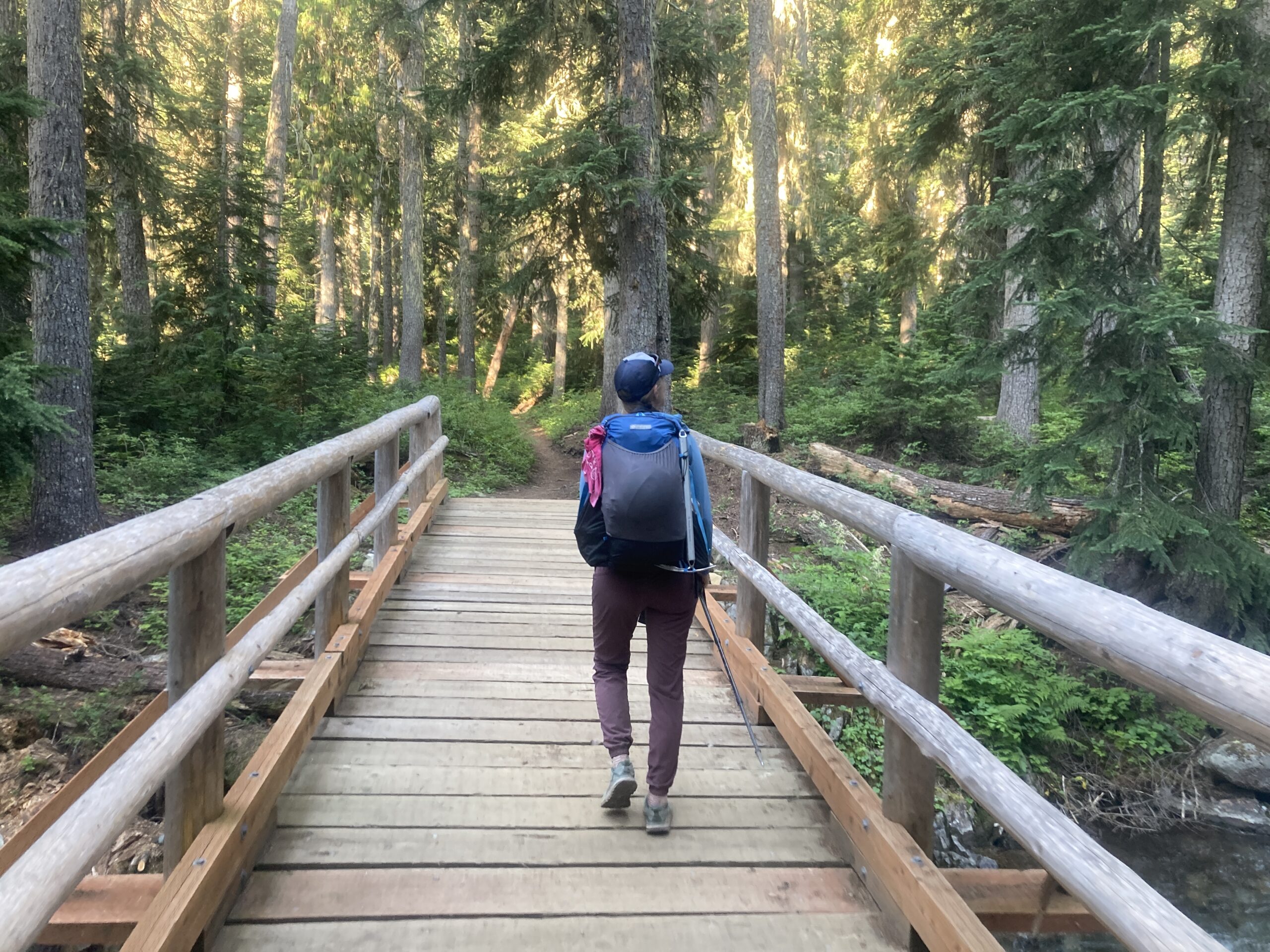
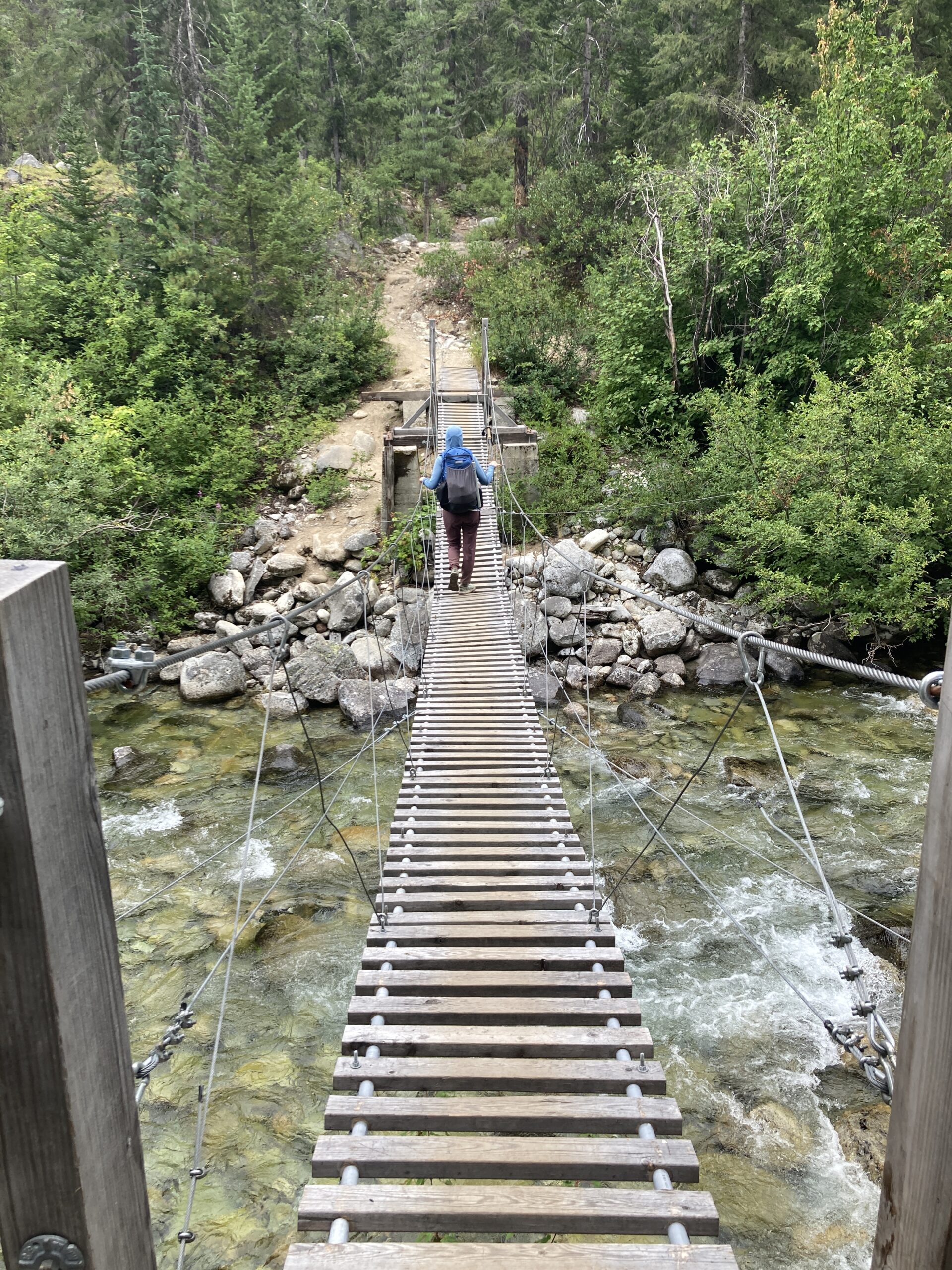
We started the approach to Goode at 7:15 AM from the Bridge creek trailhead. We hiked on the PCT to the junction with the Bridge Creek trail and headed north, past Grizzly Creek camp. Several people hiking out asked us about fire closures, as there were several in the surrounding areas, people were very glad to hear they would be able to drive home on highway 20 that night. People all speculated as to whether we’d get across Grizzly Creek when we told them where we were headed.
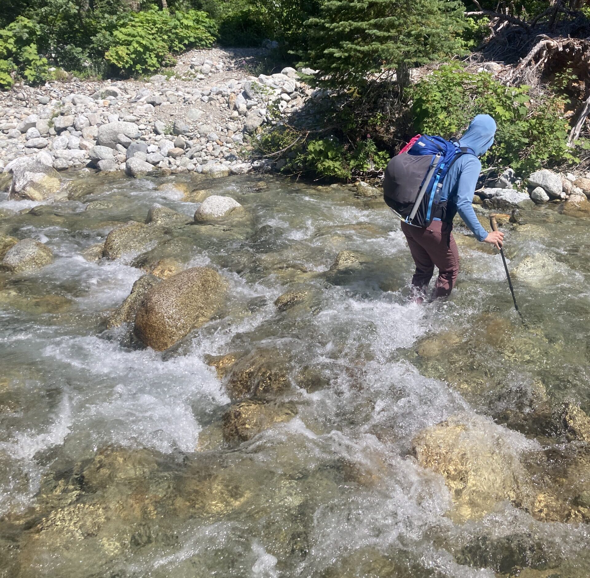
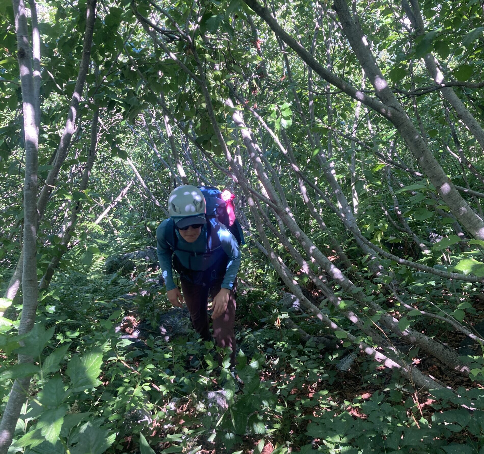
The creek crossing was extremely chill at this time, despite the concern of the hikers we had passed. Past this crossing we continued on trail until about 3,380 ft. From there we turned off the trail and crossed the North Fork of Bridge Creek. This was also doable, although deeper than Grizzly. We made our way uphill, eventually reaching the slabs on the face ahead around 3,800 ft. Fun scrambling on the exposed slabs led to the slide alder tunnel – it’s a thing, and very much a tunnel.
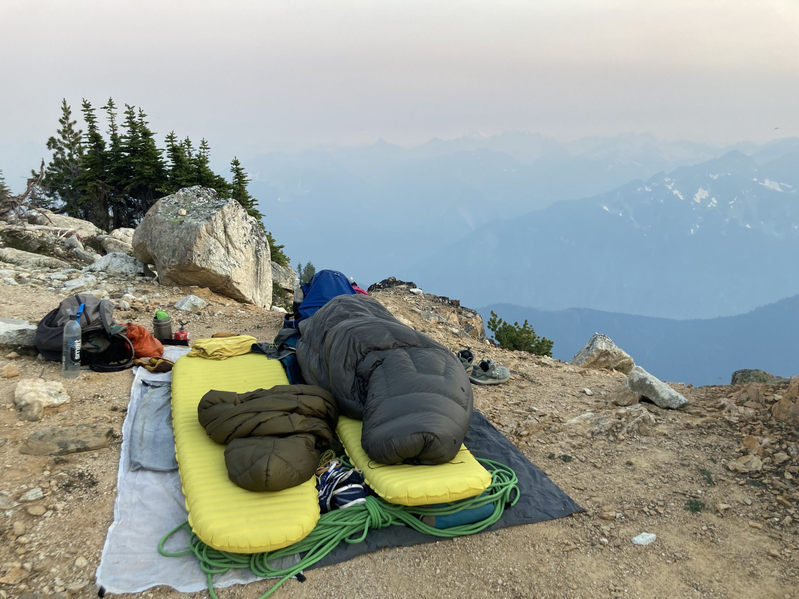
After that it’s really steep hiking directly up (southwest) to the bivy sites below the dying Goode Glacier. Several different levels with a few sleeping spots each that we passed. At the base of a rocky rib, we filled up water and headed slightly east and up around it to find most of these on benches above. Once we found a good spot for two around 5,700 ft, we set up our sleeping bags, even though it was still afternoon, we didn’t feel like making the push that night. From the car it was 15.27 miles, 7 hours 34 minutes, and 3,176 feet up to that spot.
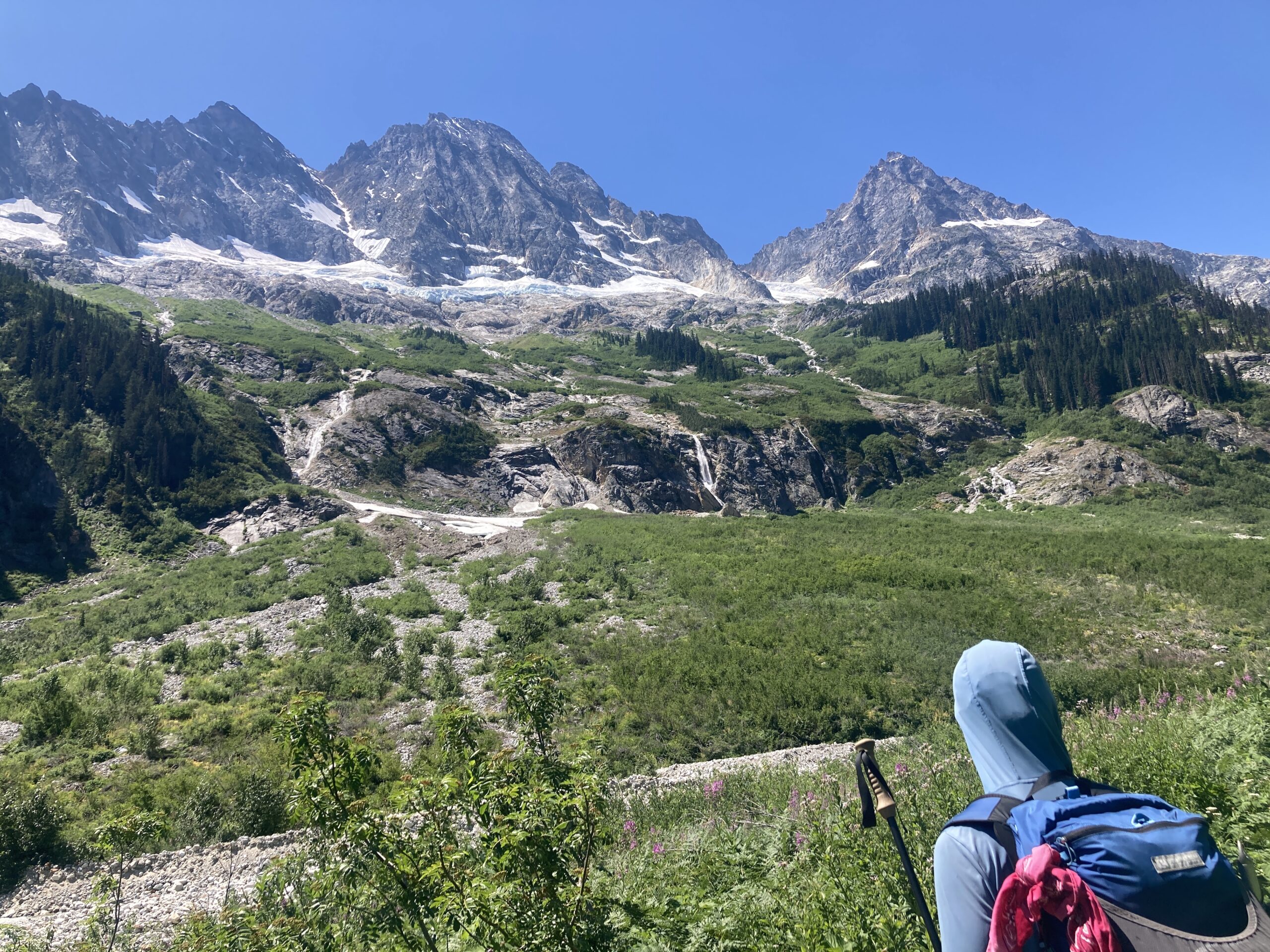
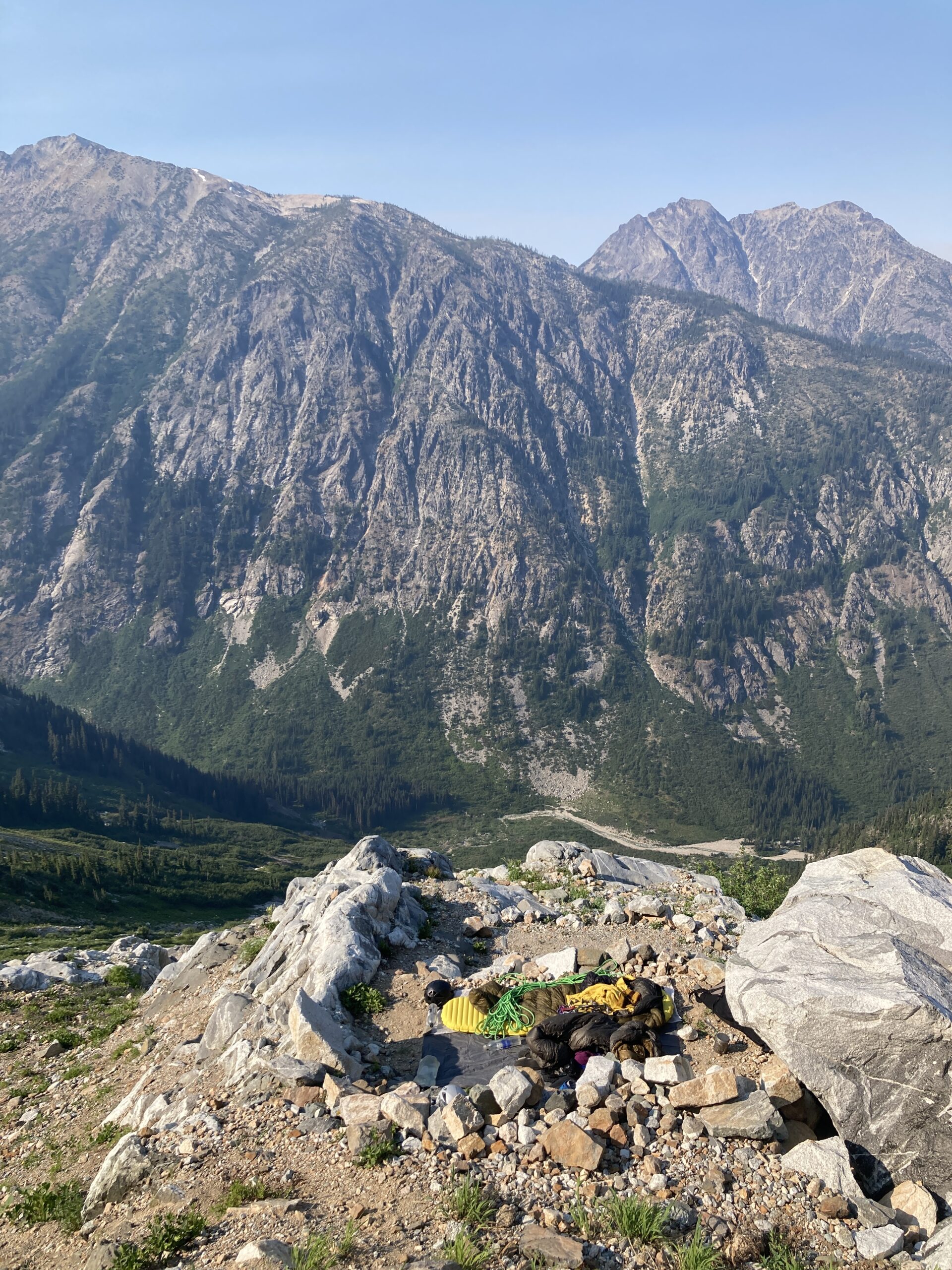
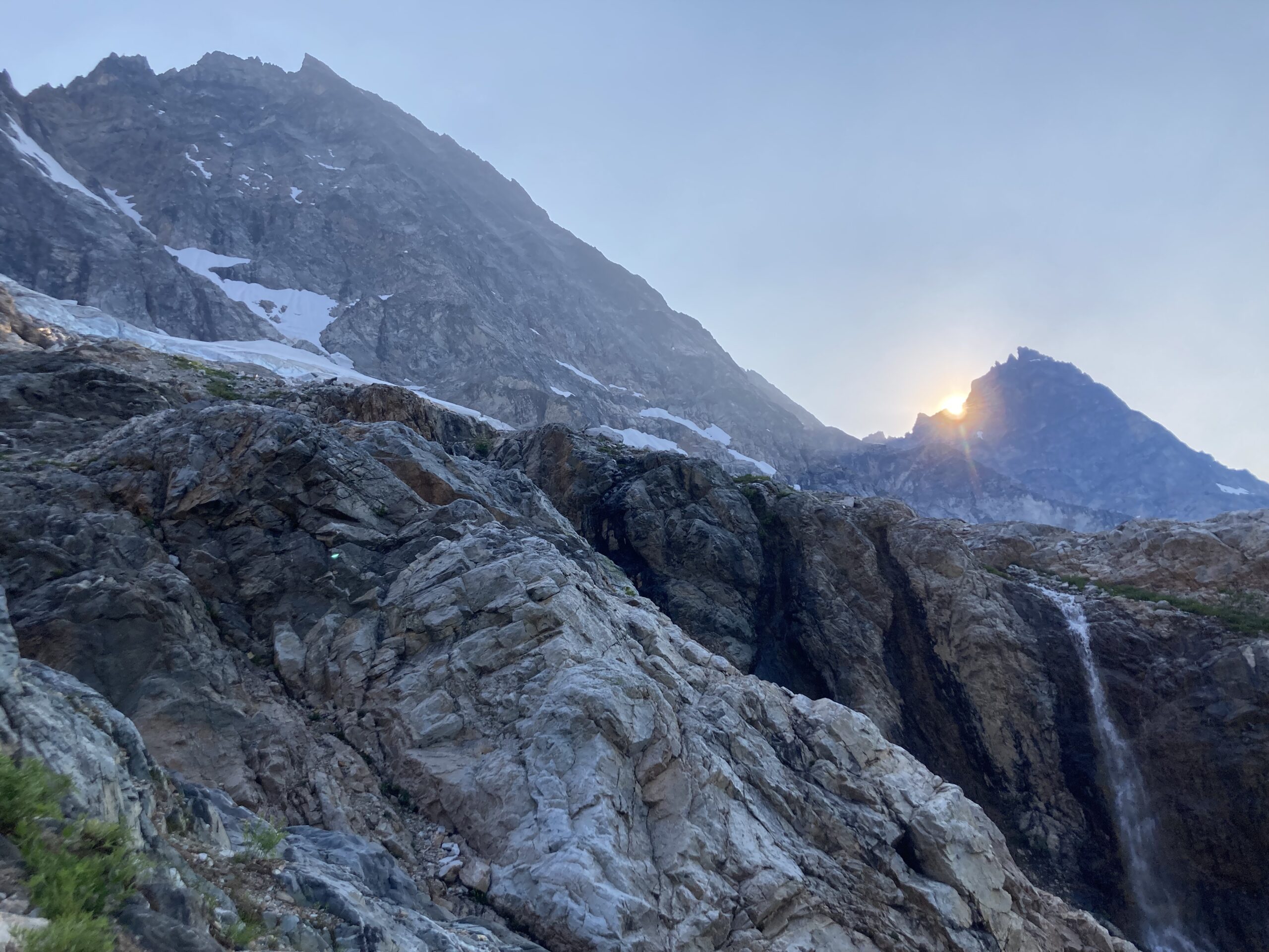
Day 2 – Climb and descend Mt. Goode
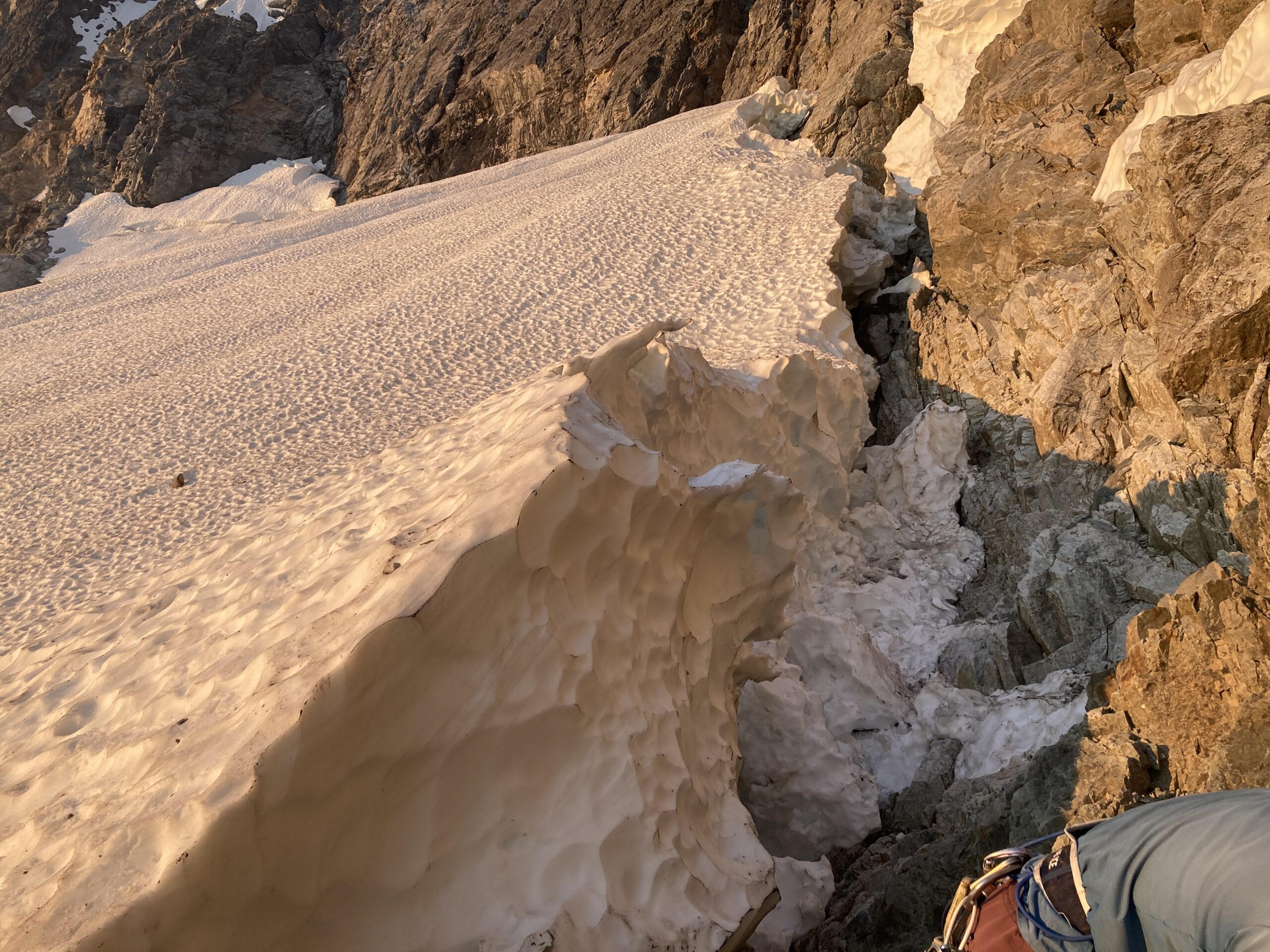
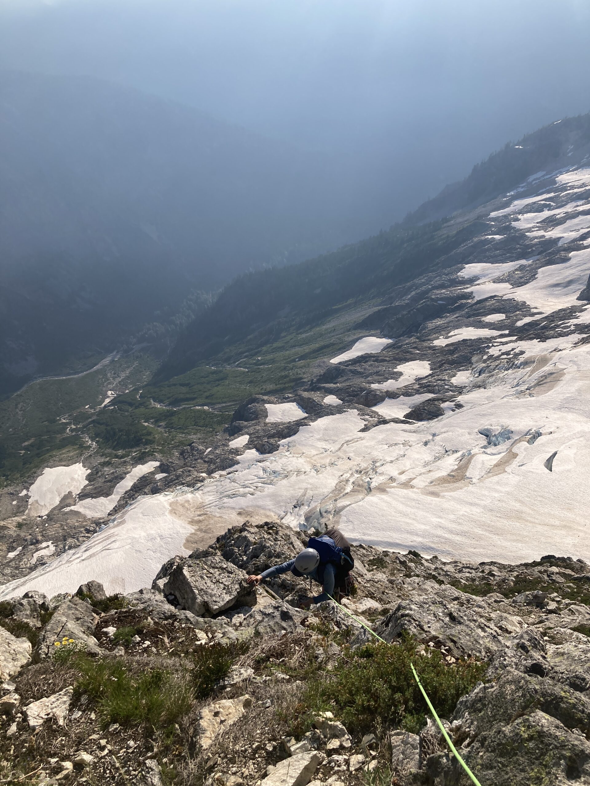
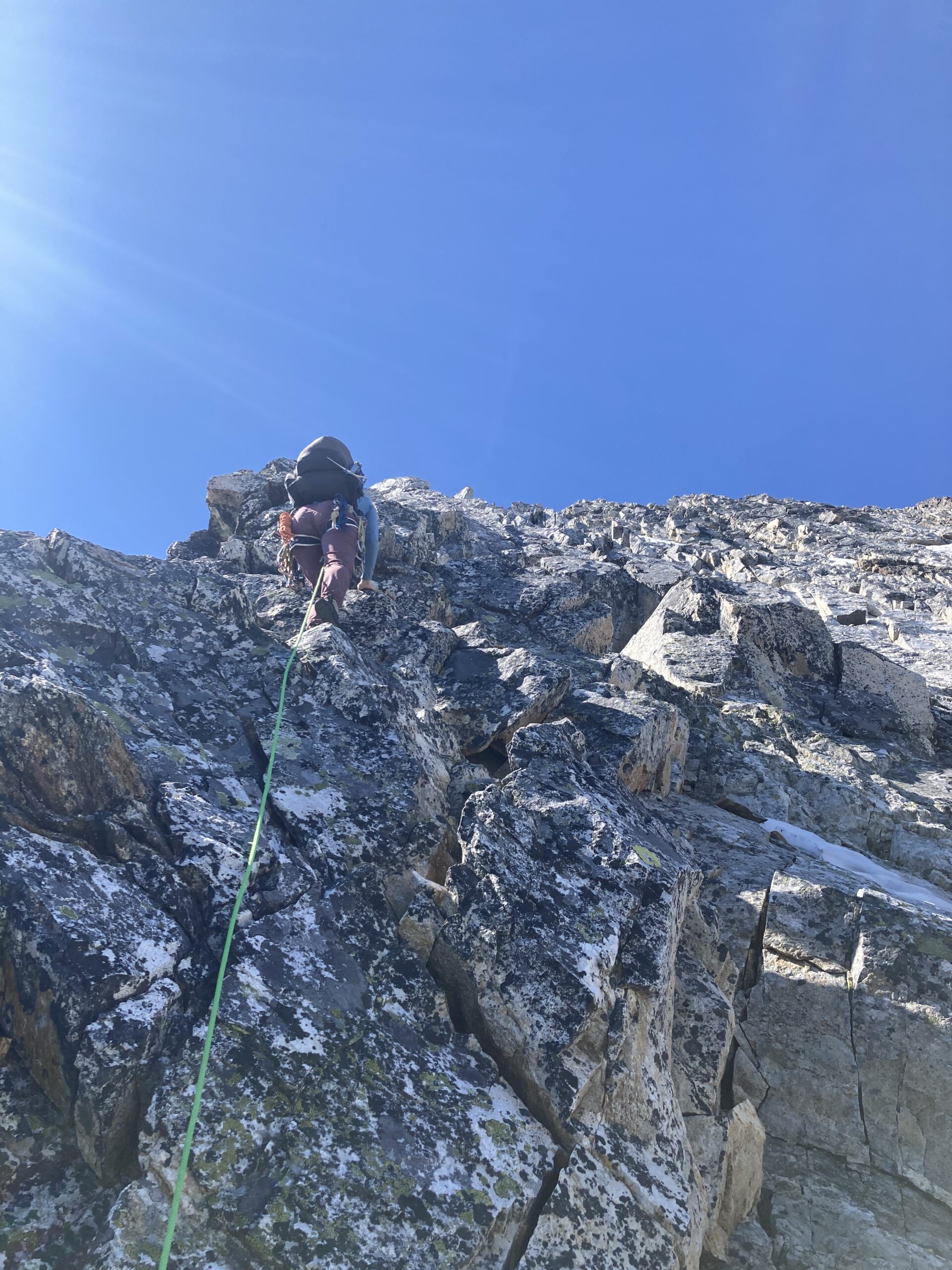
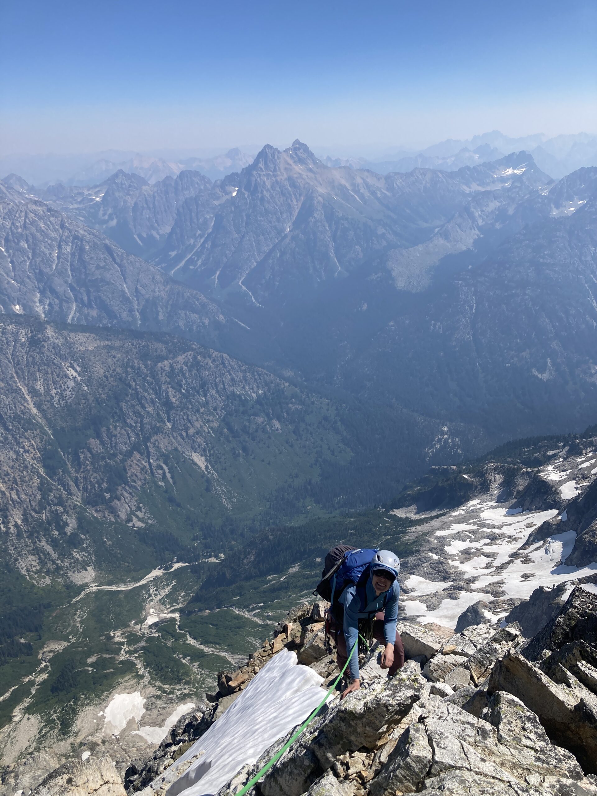
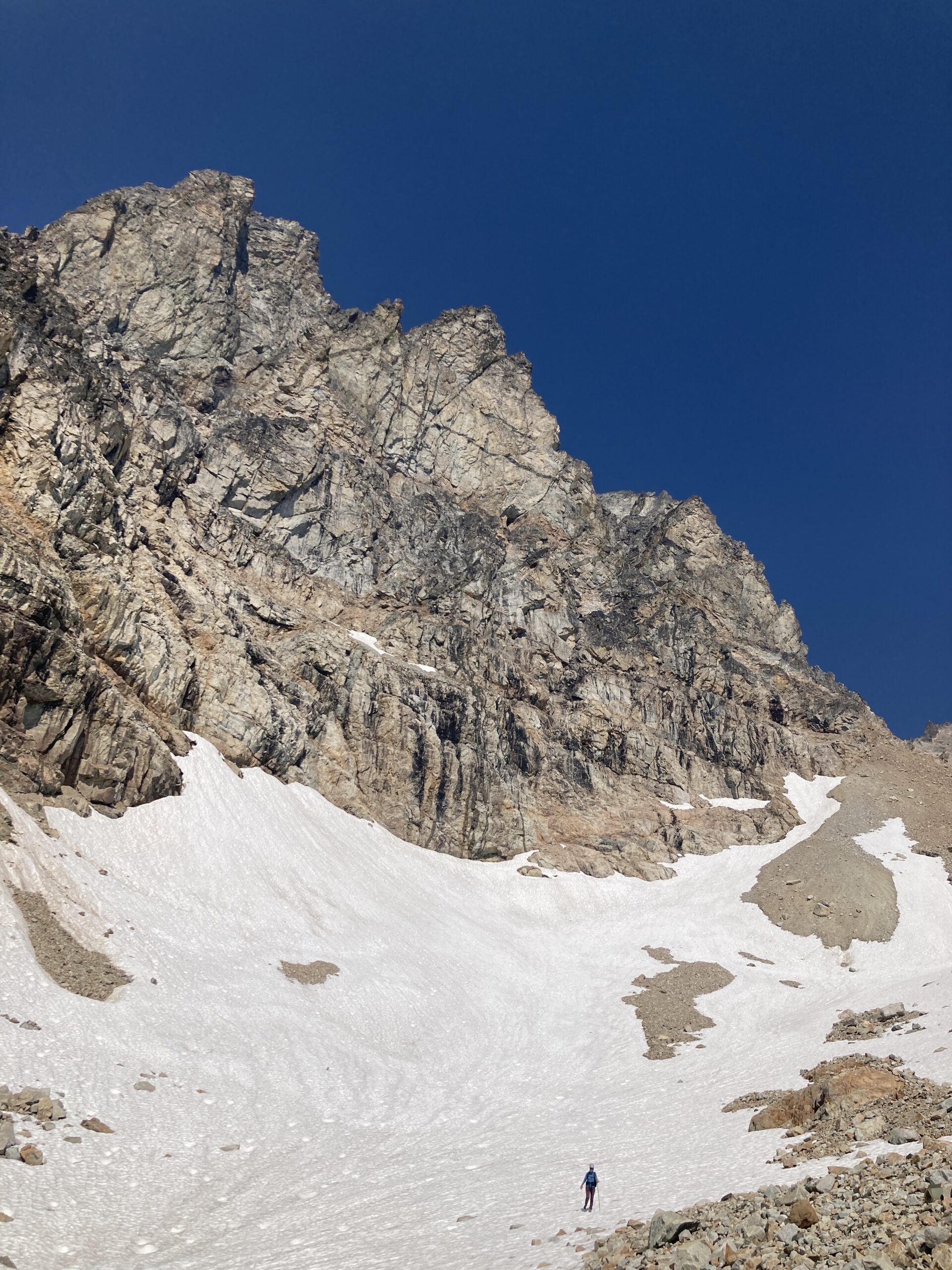
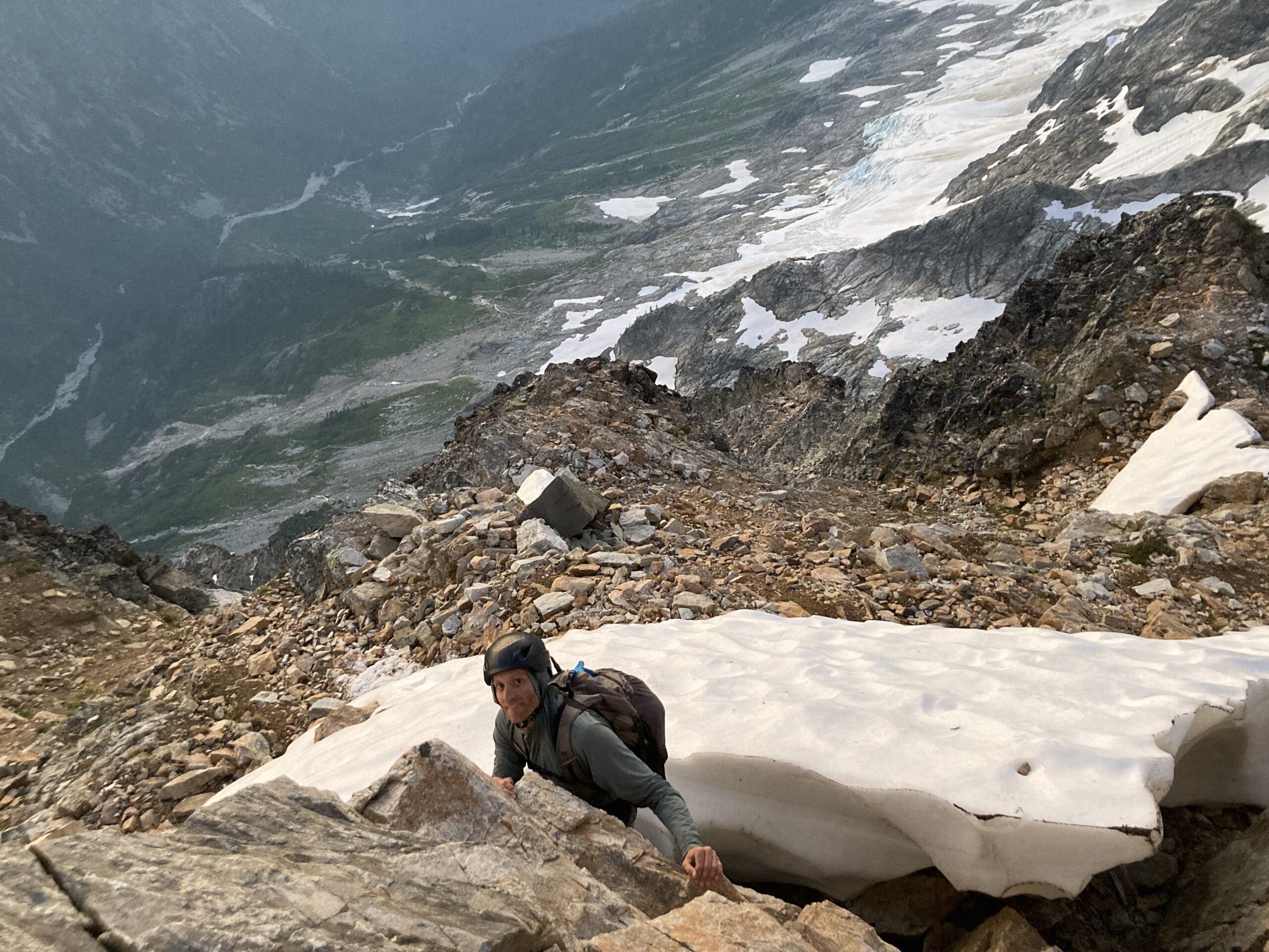
We started on 7/20 at 4:45 AM, walking up to the glacier and roping up. The travel was relatively straightforward until reaching the moat at the base of the ridge where you need to start climbing. Jeff found a doable, airy, step down onto a small icy ledge in the moat, and then up onto the rock beyond. He belayed me onto the rock and we got ready to climb. For the glacier we elected to wear crampons over our trail runners. This worked well for us in this section at this time of year and with our comfort level. From there the route takes you across and up for a pitch to get onto the northeast ridge proper. Then it’s directly up that small ridge. We started by pitching things out, then switched to simul climbing part way through.
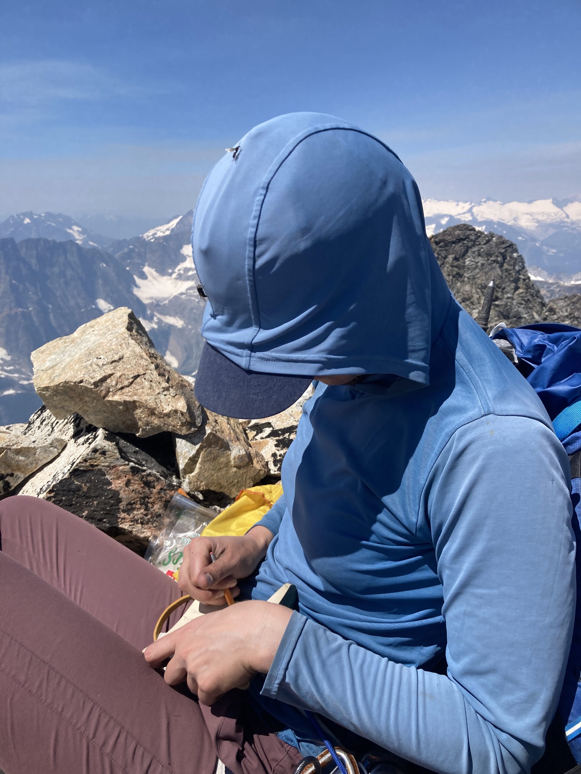
Near the top there is a traverse across a notch before you ascend to the main summit. Cool bivy on top. We took a break and met someone who was about to finish his 100 highest peaks on Storm King the following day.
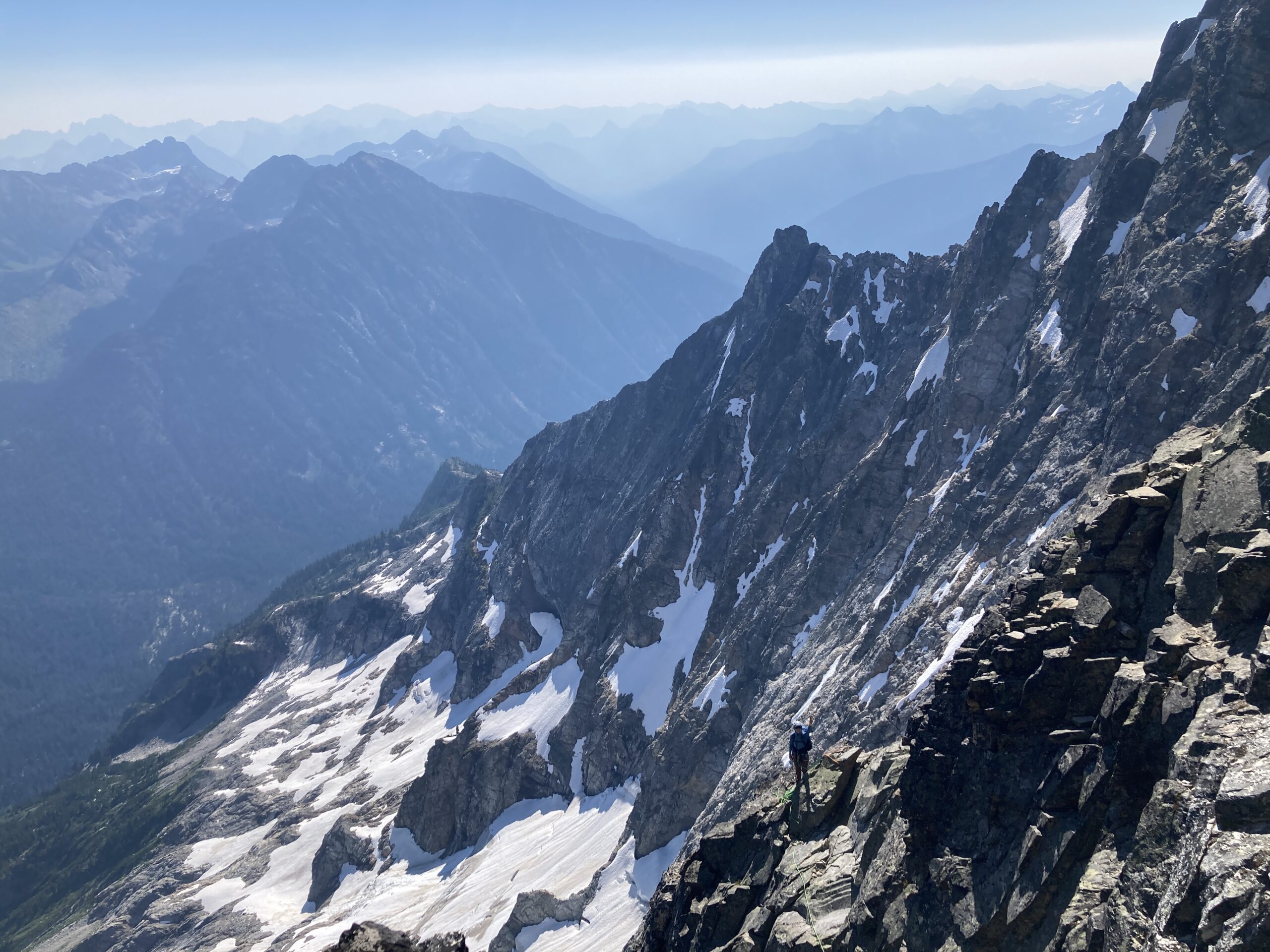
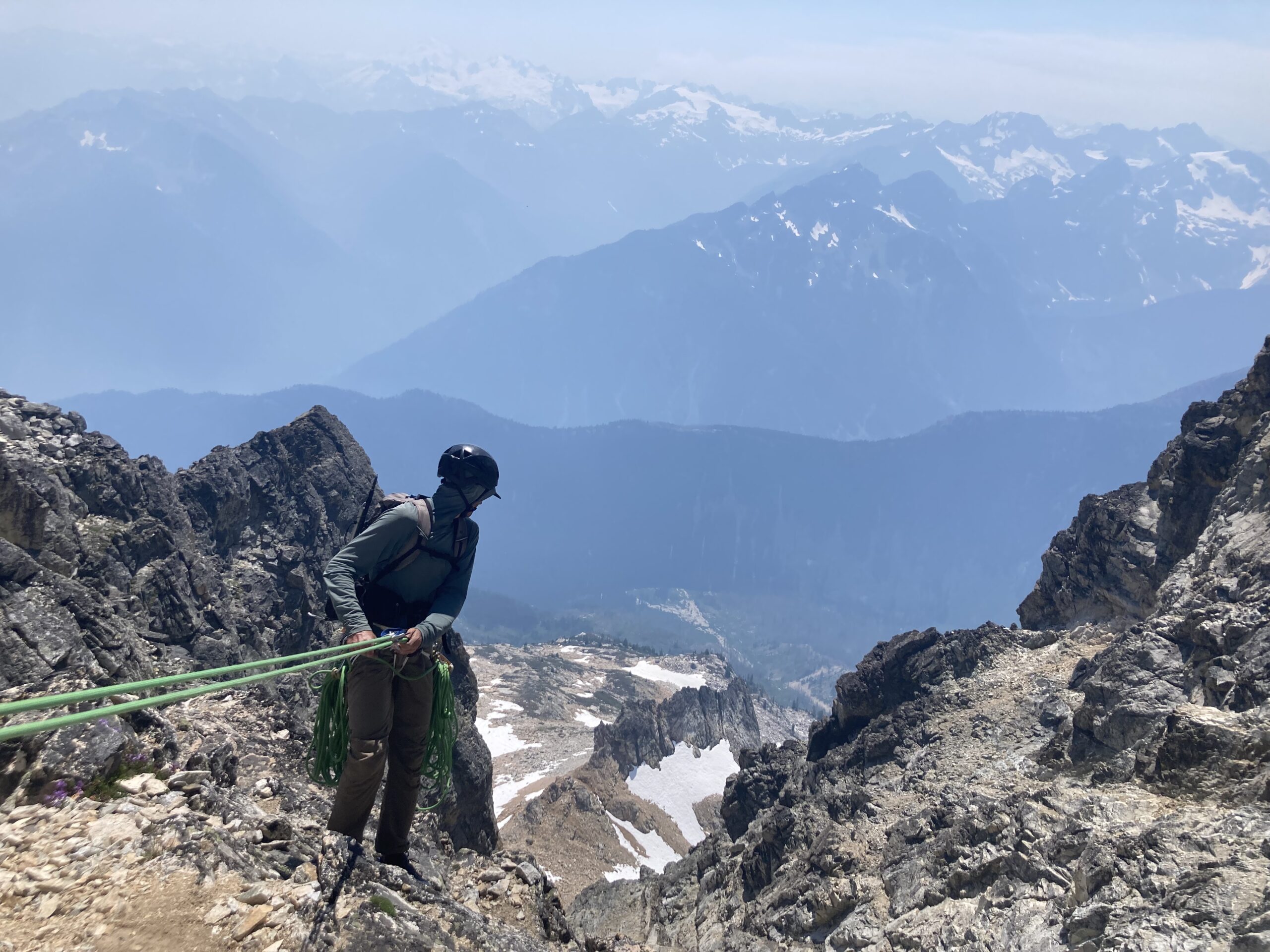
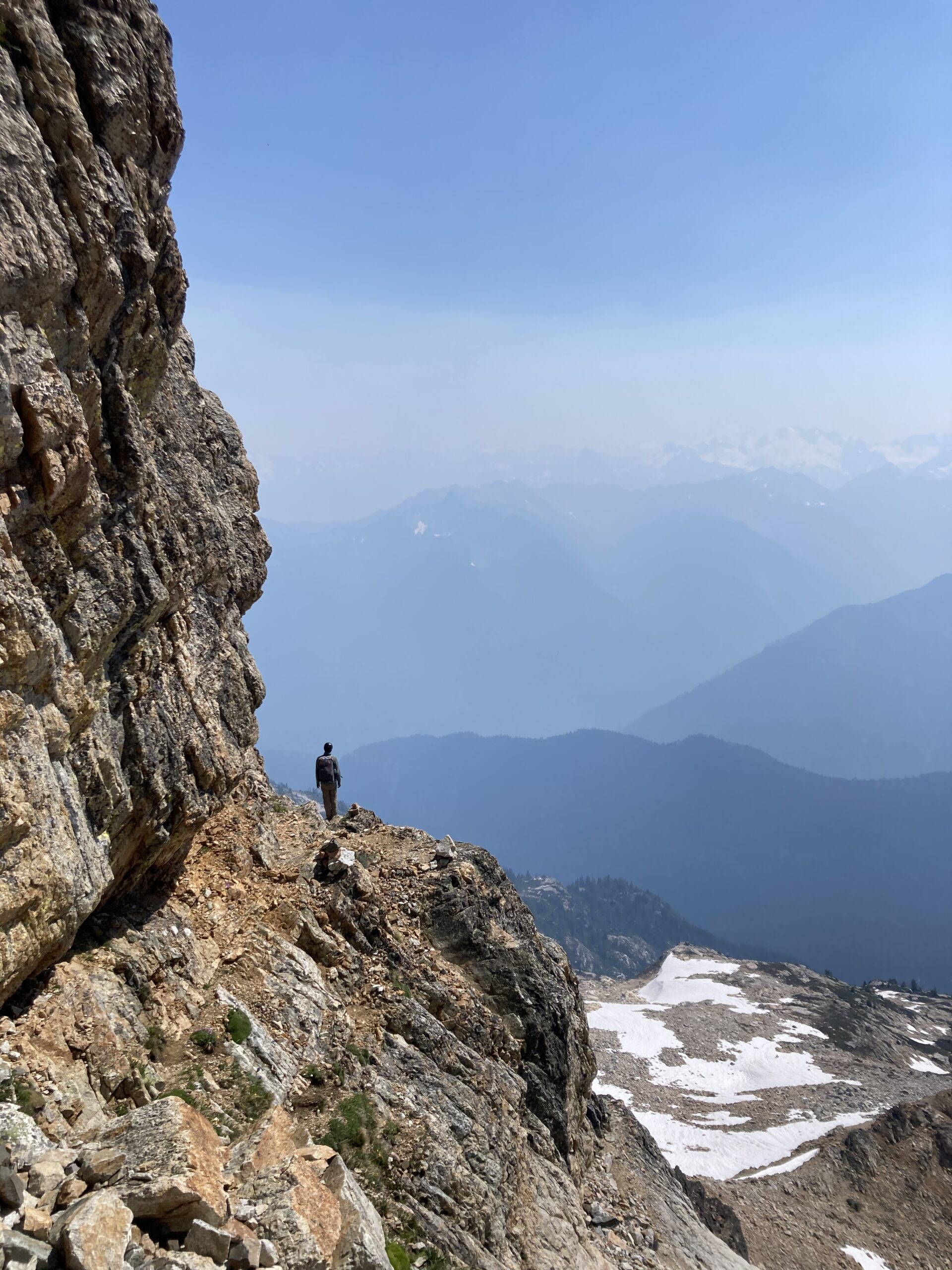
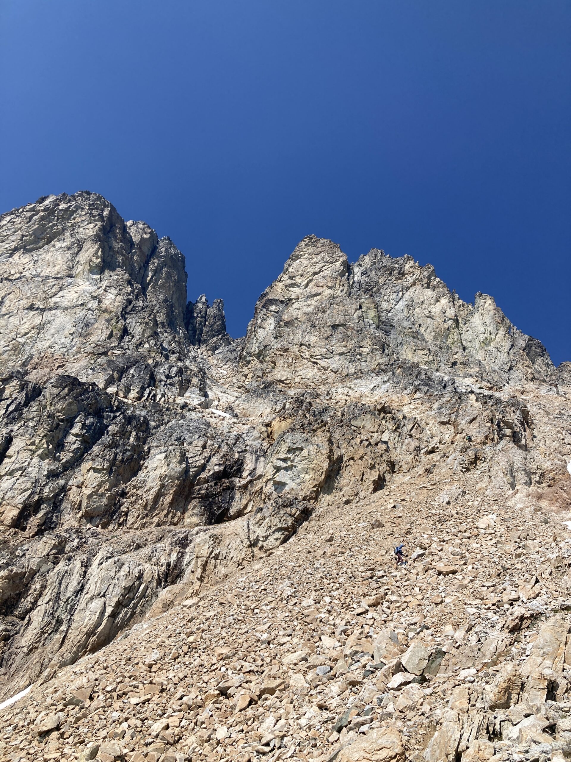
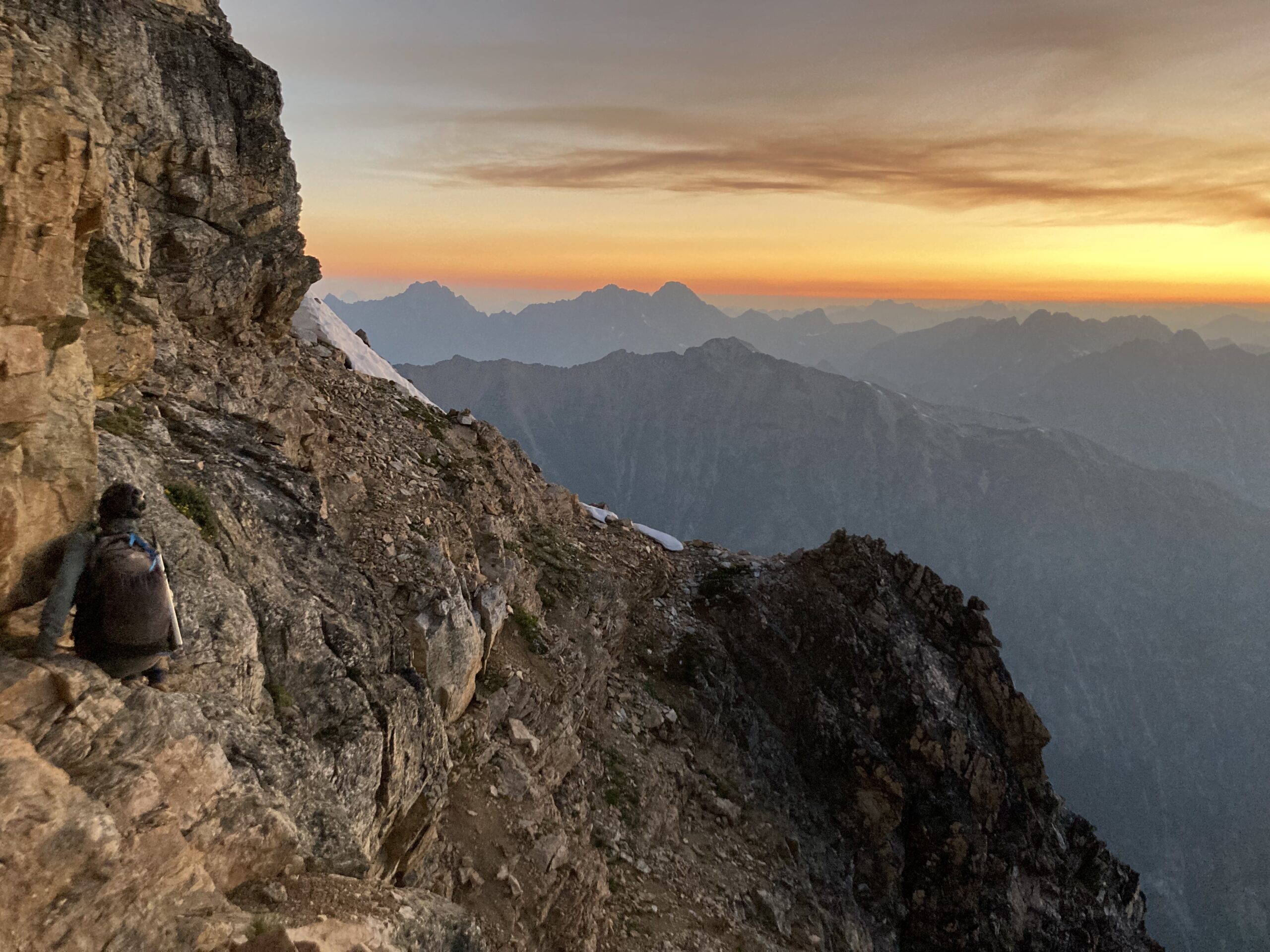
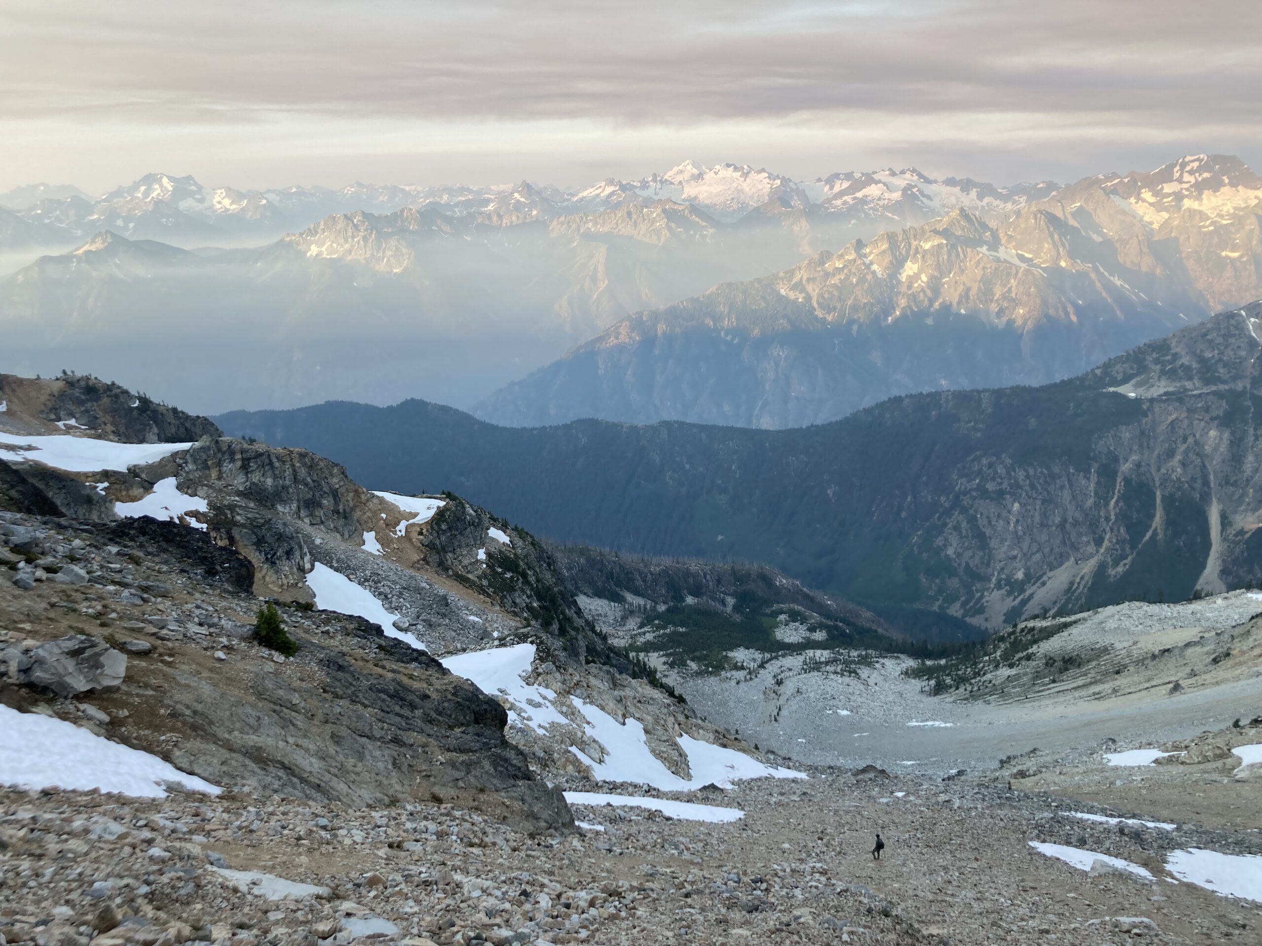
After the break we rappelled down back to the ledge where we had seen the rappel station on the way up. We went across the small ledge, opting to belay one another due to the drop below, but it’s easy walking to the end where you reach the top of the gully on the south side of Mt. Goode, and a rappel station to continue the descent. We did a few more rappells and then started scrambling down the very loose gully, until we hit snow, and mellower terrain. At roughly 8,200 ft. we turned east to continue down the center of the basin below the south side of Mt. Goode. Making our way towards the bench at the base of the west ridge.
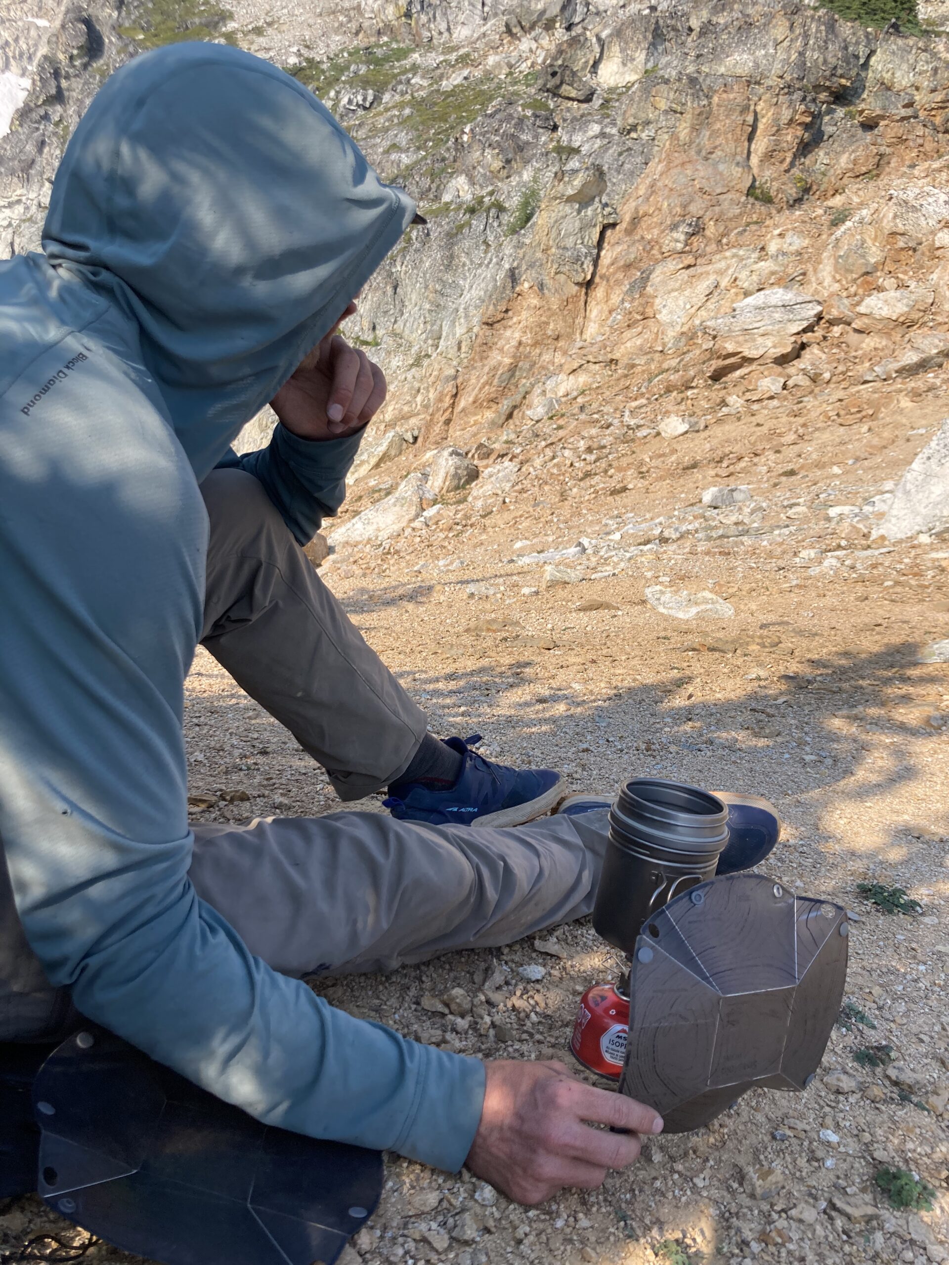
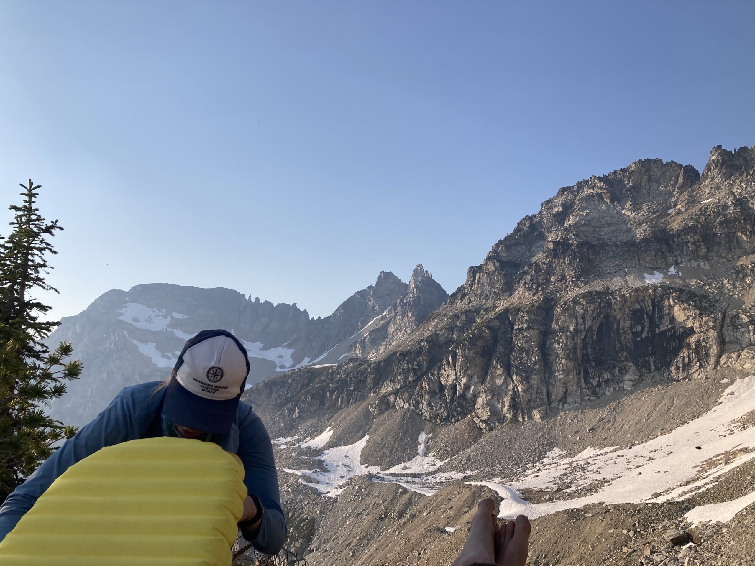
There were lots of flat spots and good camping options here. We decided on a spot around 7,400 ft. just at the base of the ridge. We could see our path towards Storm King for the next day, and even though it was early in the day, we elected to spend the night. It was VERY buggy and we didn’t have a shelter with a bug net, so we spent several uncomfortable hours sweating in our raingear as we lay down to try and sleep.
2.5 miles, 12 hours, 3,296 feet up.
Day 3 – Climb Storm King and hike out
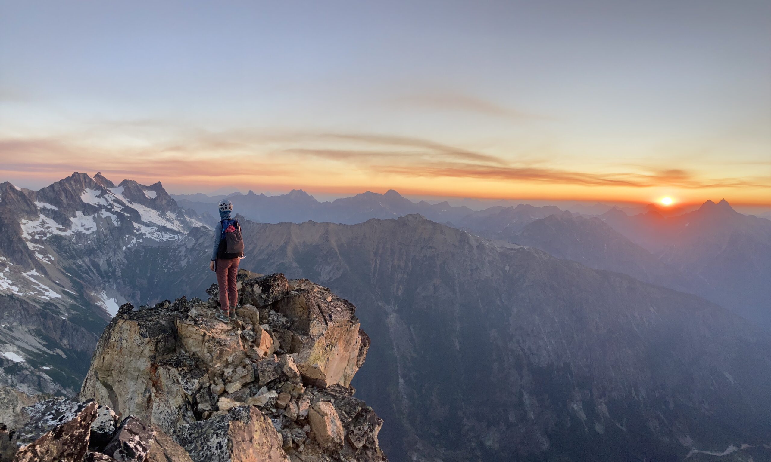
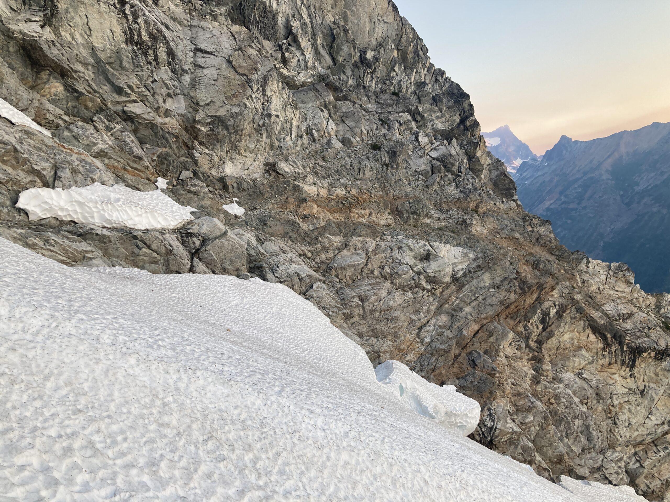
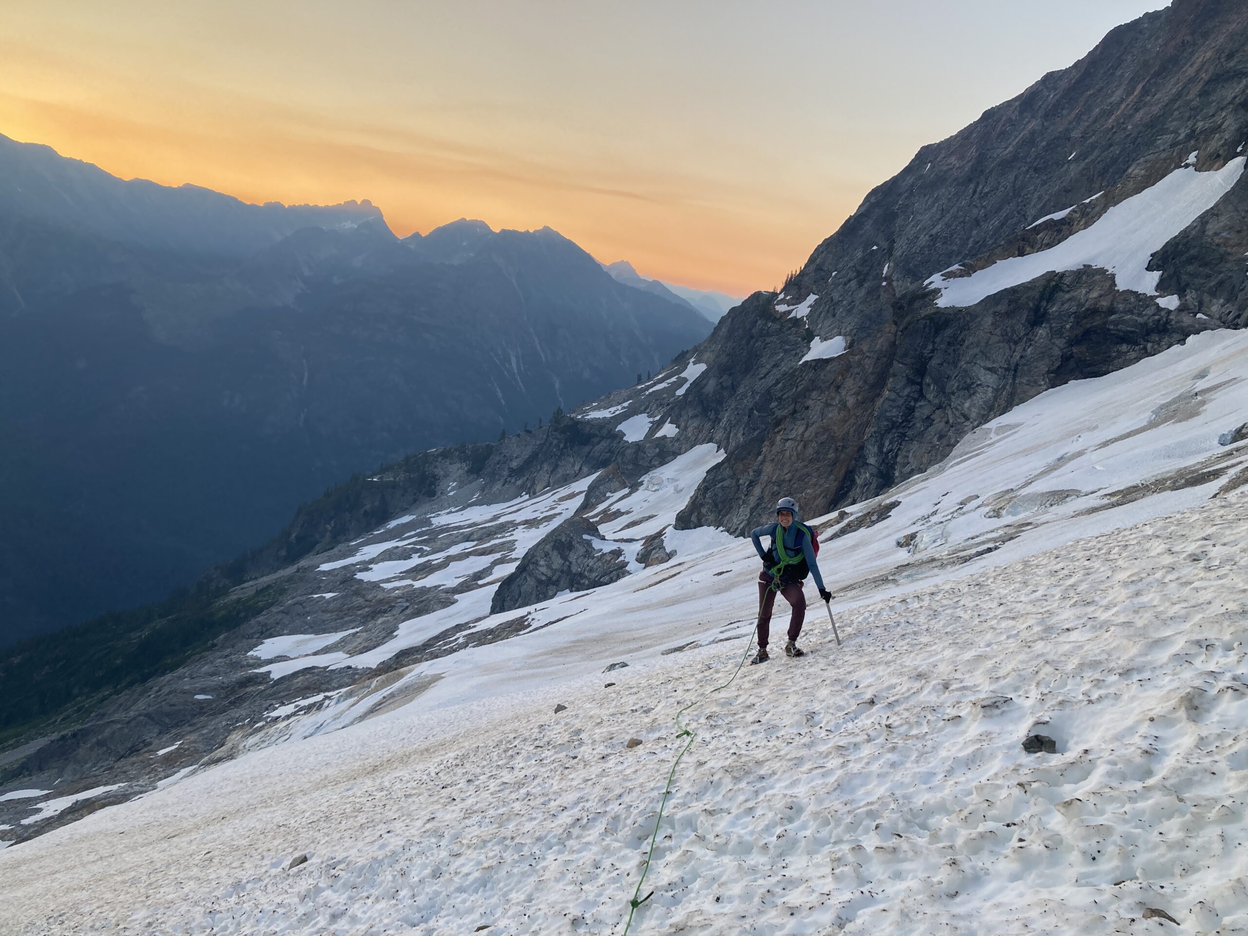
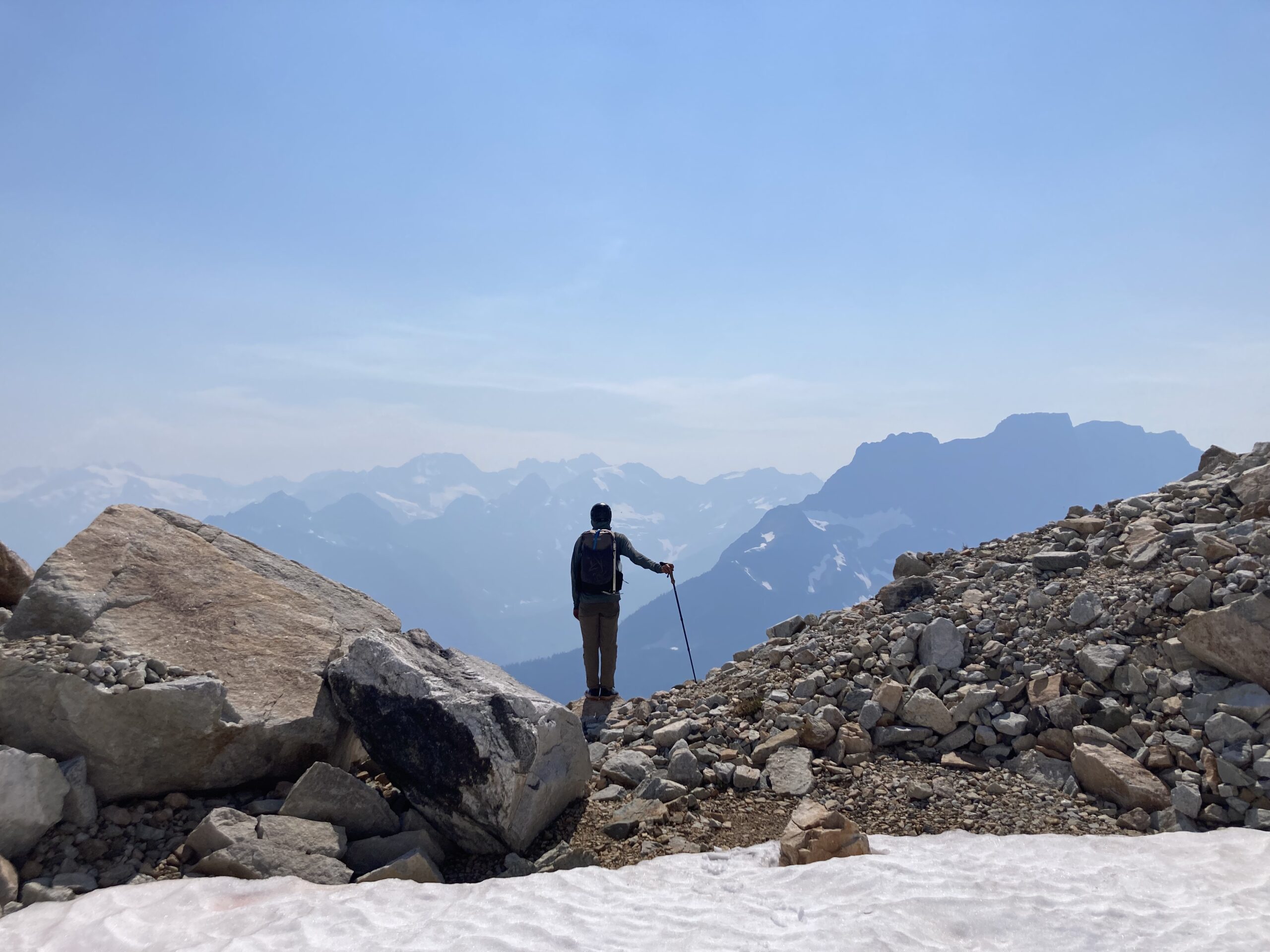
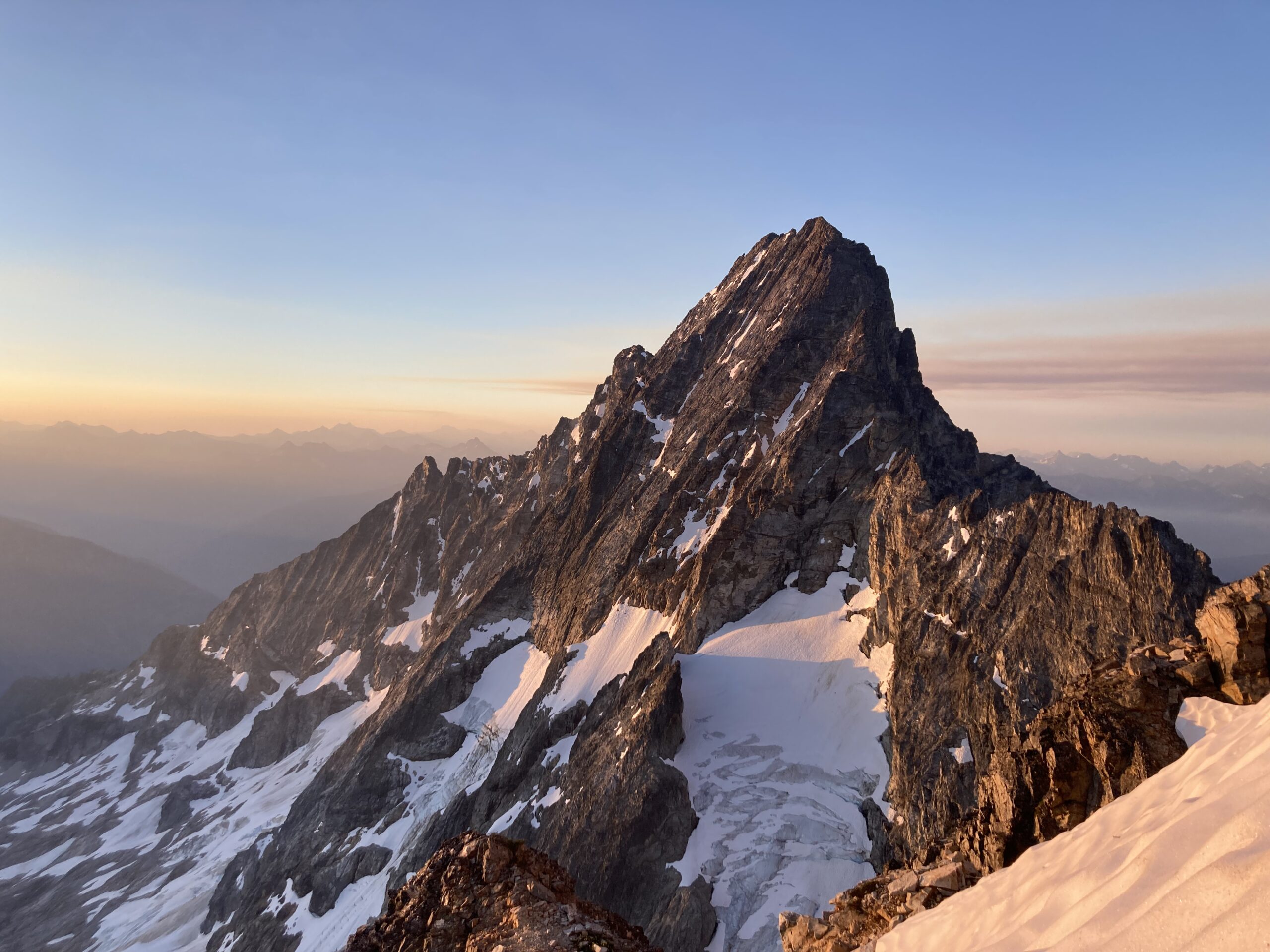
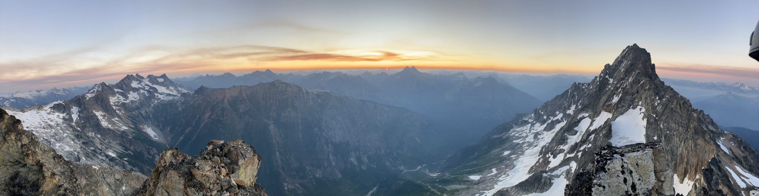
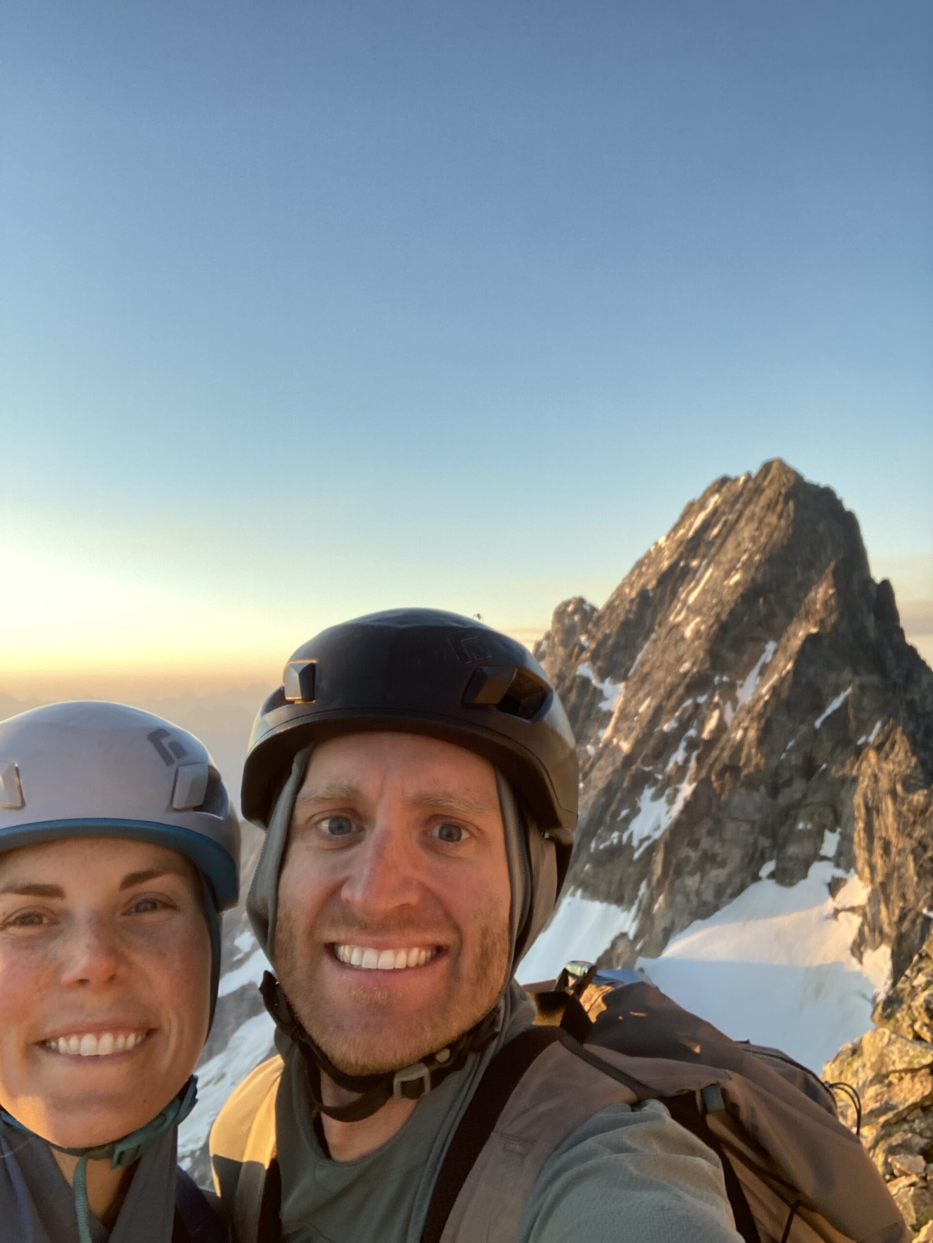
We began hiking at 3 AM. With headlamps on we contoured right around 7,400 ft. along the route we had scoped out the afternoon prior. We mostly travelled on snow, which was somewhat easy going at first. After rounding the ridge, at the edge of the basin below the south side of Storm King, we began ascending, picking our way up this basin on steeper and steeper scree, hard packed dirt, and snow. At the very top we kicked steep steps up to reach the end of the snow field just under the base of the peak. From here we went east, to a notch on the skyline. Heading around to the north side of the peak from here there is a narrow ledge to traverse until you reach the north end of it. Just shy of the ridge, there is a scrambling route, mostly obvious with some exposed moves to the final summit. We saw the sunrise from the top, with incredible views of Goode. It was an absolutely beautiful spot.
We descended the same way we came up, back to our campsite to collect the belongings we stashed there, eat a snack, and mentally prepare for the very long hike out. We dropped off the ridge just east of our campsite, and continued downhill on steep grassy terrain somewhat between the ridge and the gully. Directly down. We found a use trail here and there, which got more pronounced as we descended. Ash from a burn towards the bottom of the off-trail section left us covered in soot. Finally, after what felt like forever, we hit the trail and walked along Park Creek to the junction with the PCT where we continued East, back towards our car. We hit Bridge Creek trailhead 14 hours and 57 minutes after we had started walking that morning.
We were dirty and exhausted but proud of how we’d moved in the mountains that weekend. It was really a combination of many of the skills we have learned. And we pushed ourselves physically, moved well, had smooth transitions, and felt grateful to have made it safely back. What a time! And just in time. Fire closures shut pretty much the whole area down right after that for the rest of the summer.
23.7 miles 4,488 ft in elevation gain.
Gear Notes
I did not take a picture of the rack we carried. We brought a single rack of cams, opting to bring more in the smaller sizes than the bigger sizes which I would do again. We had a 60 meter rope and I think we must have brought a few alpine slings (maybe 8?), plus the normal harness kit that we carry.
We wore trail runners for the approach and hike out, put crampons on over our trail runners for the short glacier section and then changed into rock shoes for the actual climb. We were trying to balance comfort, weight and confidence without over packing on footwear. I would do the same again.
We carried ice axes, but did not bring any pickets for the glacier.
It is challenging to have to carry your whole overnight pack up and over this peak to do this trip, so we tried to keep everything as light as possible.