Inspiration Traverse – Primus Peak, Austera Peak, Klawatti Peak, Dorado Needle and Eldorado
↓
Jul 14, 2024
Map
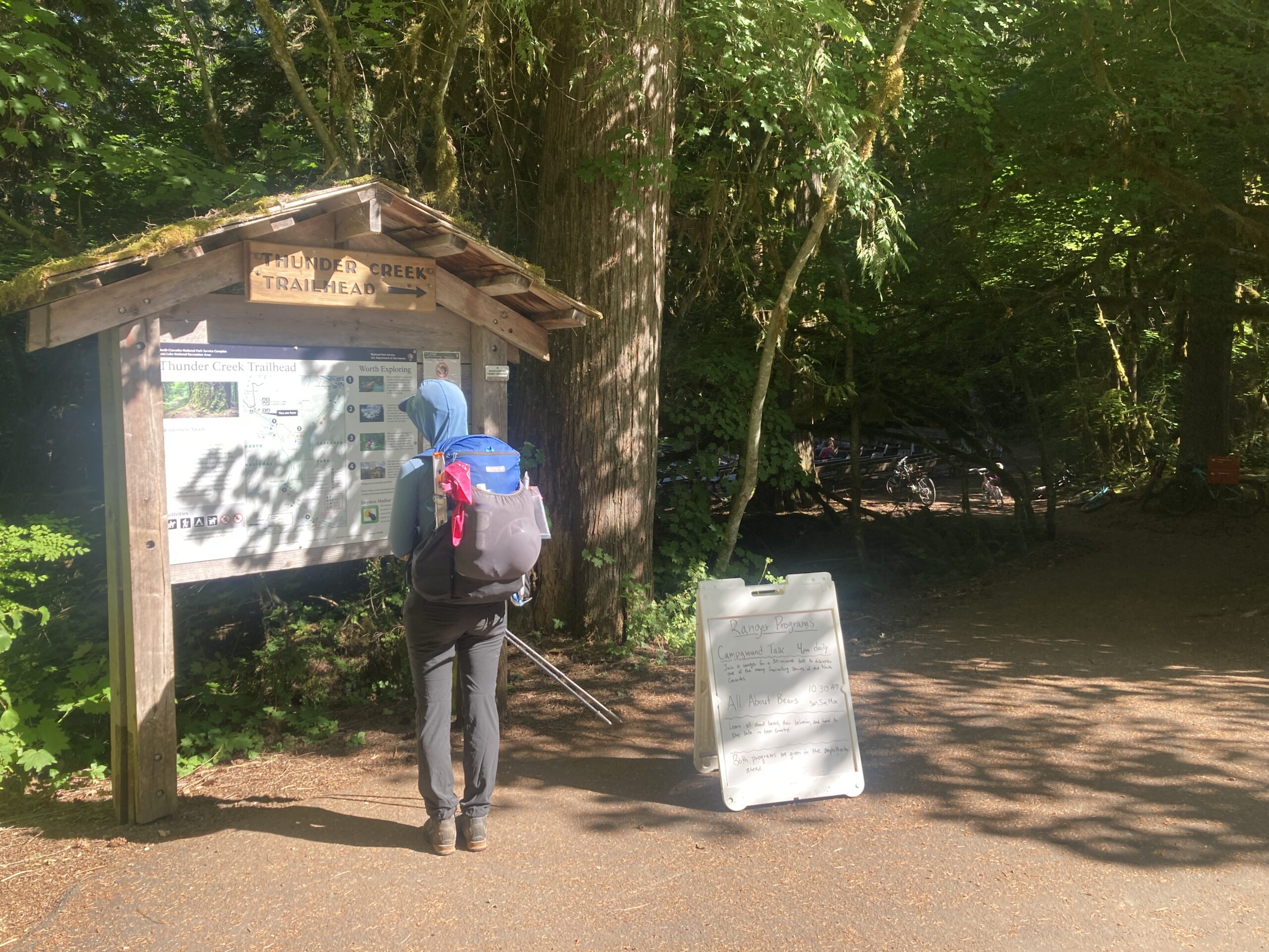
Day 1 – Pick Up Permit & hike to McAllister Campsite
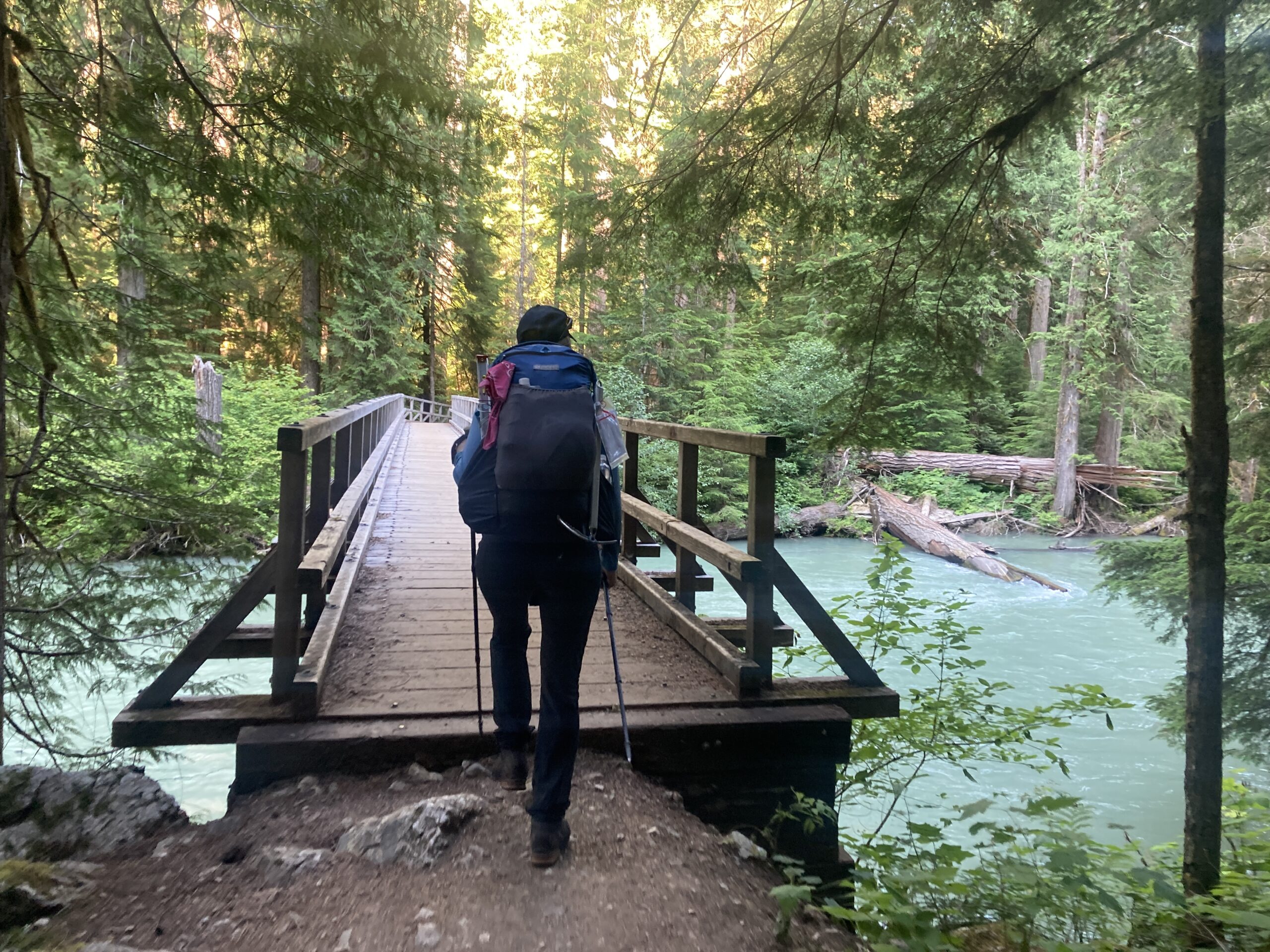
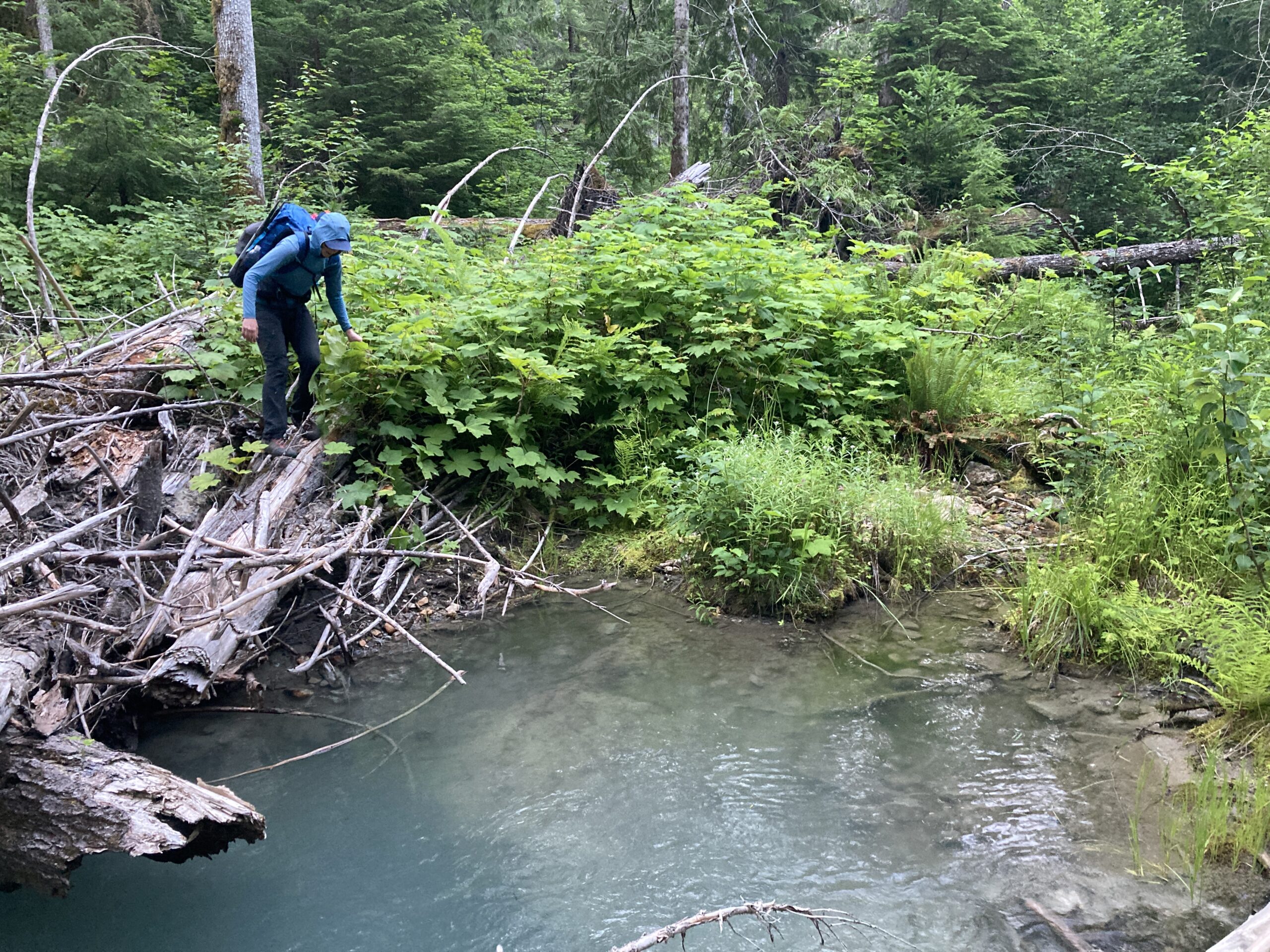
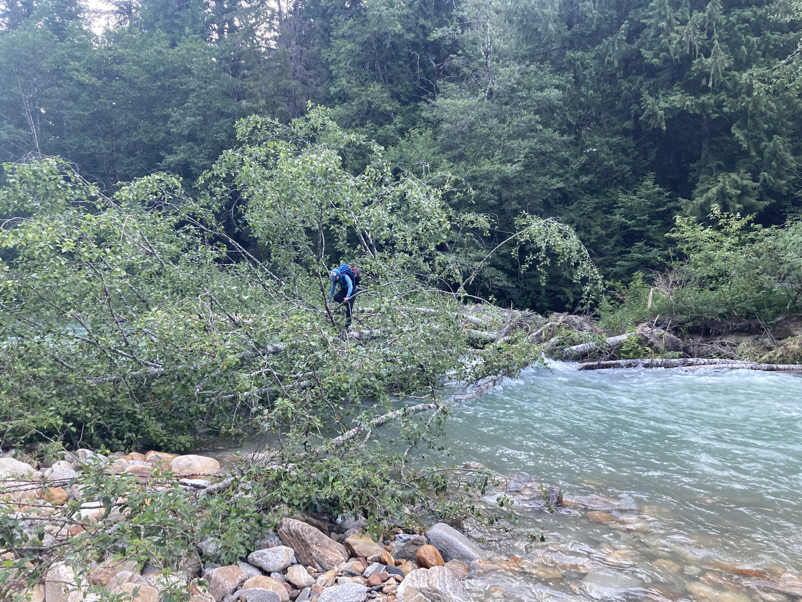
Carolyn and I were able to leave our place at 2pm and make it to the permit station at 3:30pm just before they closed in order to pick up a permit for this trip. Then, we drove to the Thunder Creek TH and hiked into McAllister Camp. We got to camp with about an hour or so left of daylight and decided to go and scout the river crossing over Thunder Creek. About 1 ⁄ 4 mile or so past the spot of the old washed out bridge we decided to leave the main trail at about 2,000ft elevation, where we saw a faint staircase of traveled ground. It was unclear if it was a human or deer track. We dropped down a few feet and then headed into the brush to find a way across to the main creek. There are probably many ways to get to the main creek and ours took us over a few logs that bridged a few small braids of the creek to the main creek’s bank. Due to the recent hot weather and it being the end of the day the river was pumping.There didn’t seem to be a way to ford it, but luckily we spotted a tree that seemed to have recently fallen down that was crossable. We took note of the route to the tree for the next morning’s crossing! We were glad that we had gone and scoped a way across the creek.
The weirdest thing happened when we got back to camp. I went to screw in the stove to the fuel canister and the MSR PocketRocket that I had would not screw in … .after so many days of using this stove I am surprised that this happened now. No matter how hard I tried I could not get the threads to catch. My partner took the stove and the fuel to some folks at a neighboring camp and they were willing to trade us their partial fuel cans that they had left for ours. Oddly enough, their version of the same stove screwed into our fuel can and our stove screwed in their partial fuel cans no problem.
Well, because of this unfortunate fuel situation it would make it so we would need to cold soak some dinners and have cold breakfast for some of our meals, as we would not be able to make hot water and cook our dinners for every meal with these partial fuel cans. Bummer!
Anyways, we accepted our fate and went to bed. We were planning on an early morning to try and start the long climb up to Borealis Glacier with some cooler temperatures.
Day 2 – Cross Thunder Creek and climb Primus Peak & Austera Peak
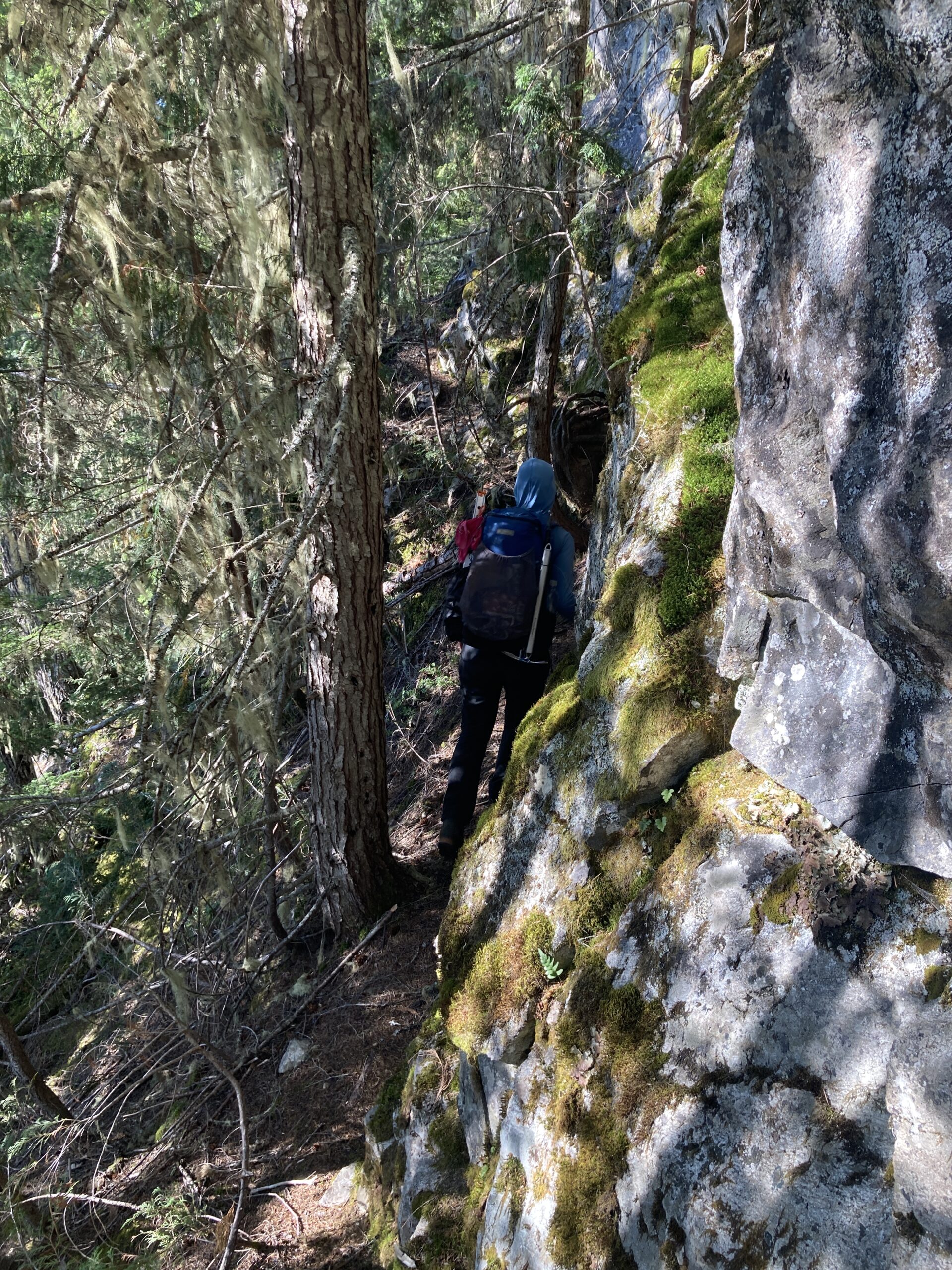
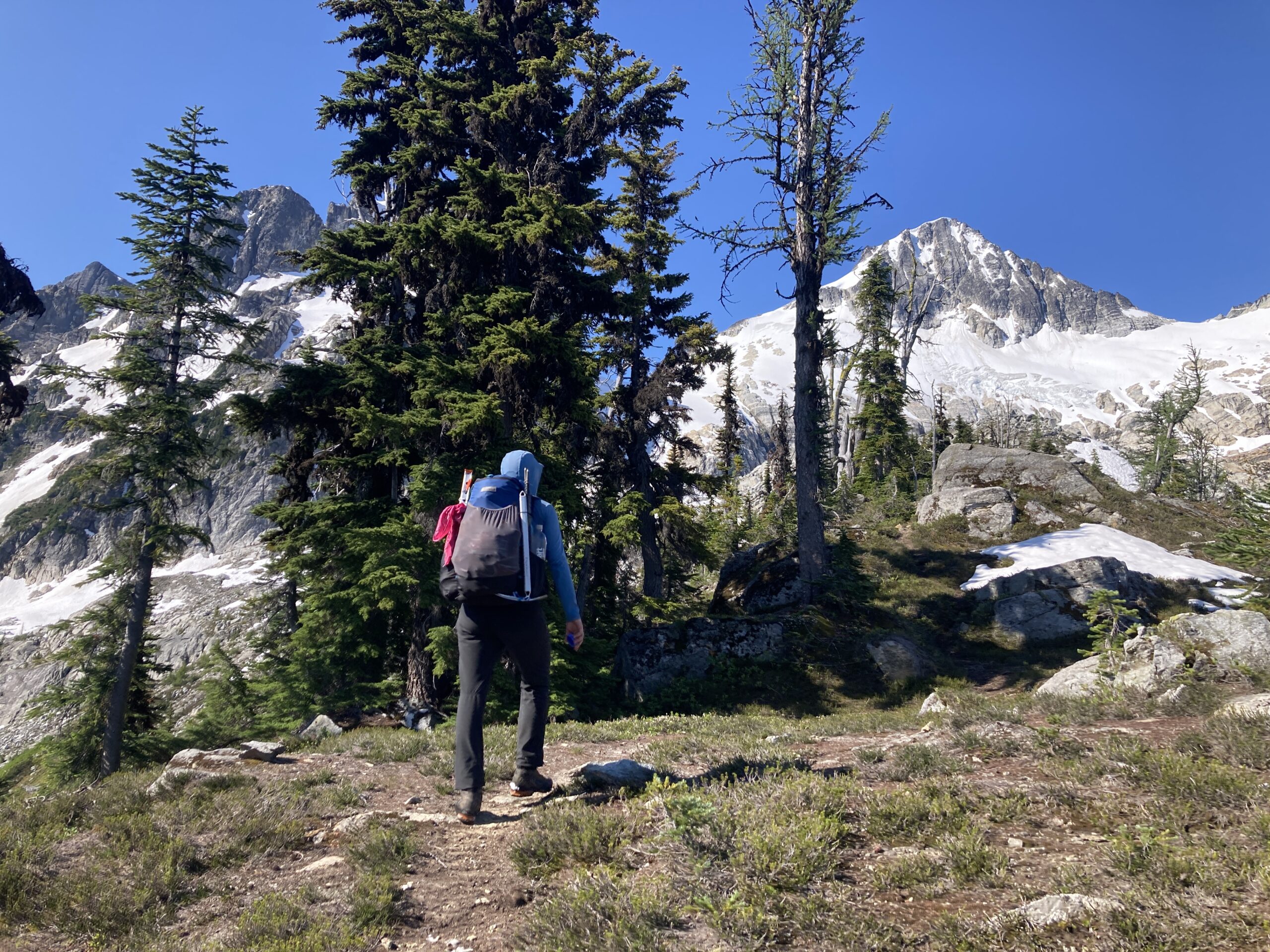
We woke up around 4:30 am. Ate our cold oatmeal and drank our cold coffee…sad. We packed up our camp and were moving around 5:30 am. We easily retraced our steps and crossed Thunder Creek on the log we had scouted the night before. Then, we continued down the bank to the spot where the bridge was and turned up the ridgeline. There was a faint trail almost all the way to Borealis Lake. We lost the trail a handful of times when the ridge flattened out before the last final steep climb to the lake. The trail also has a handful of downed trees and is pretty steep. The climb was hot and sweaty even though we started early.
We made it up the Borealis Lake and took a quick break and refilled our water for the next bit. We weren’t really sure where we would find water next and we knew we might need to use our partial fuel cans….which would mean no hot meals at all…..more sad.
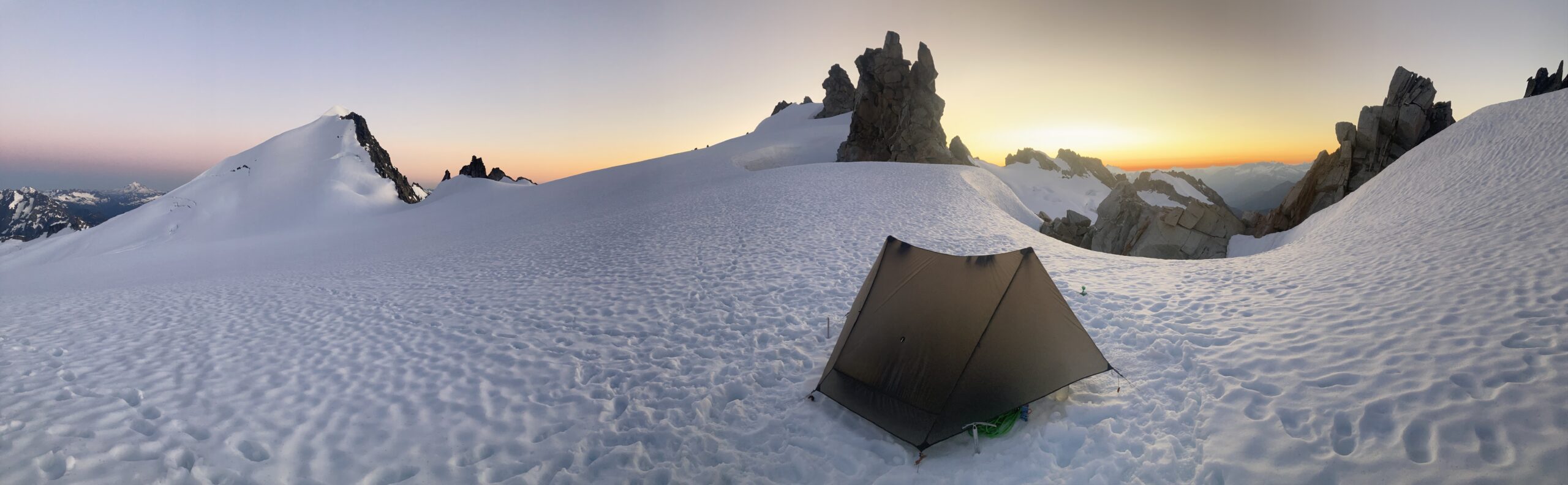
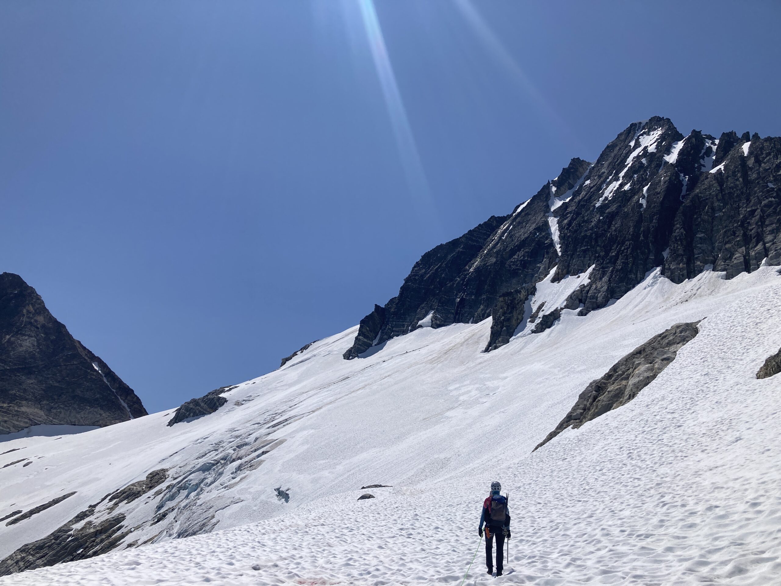
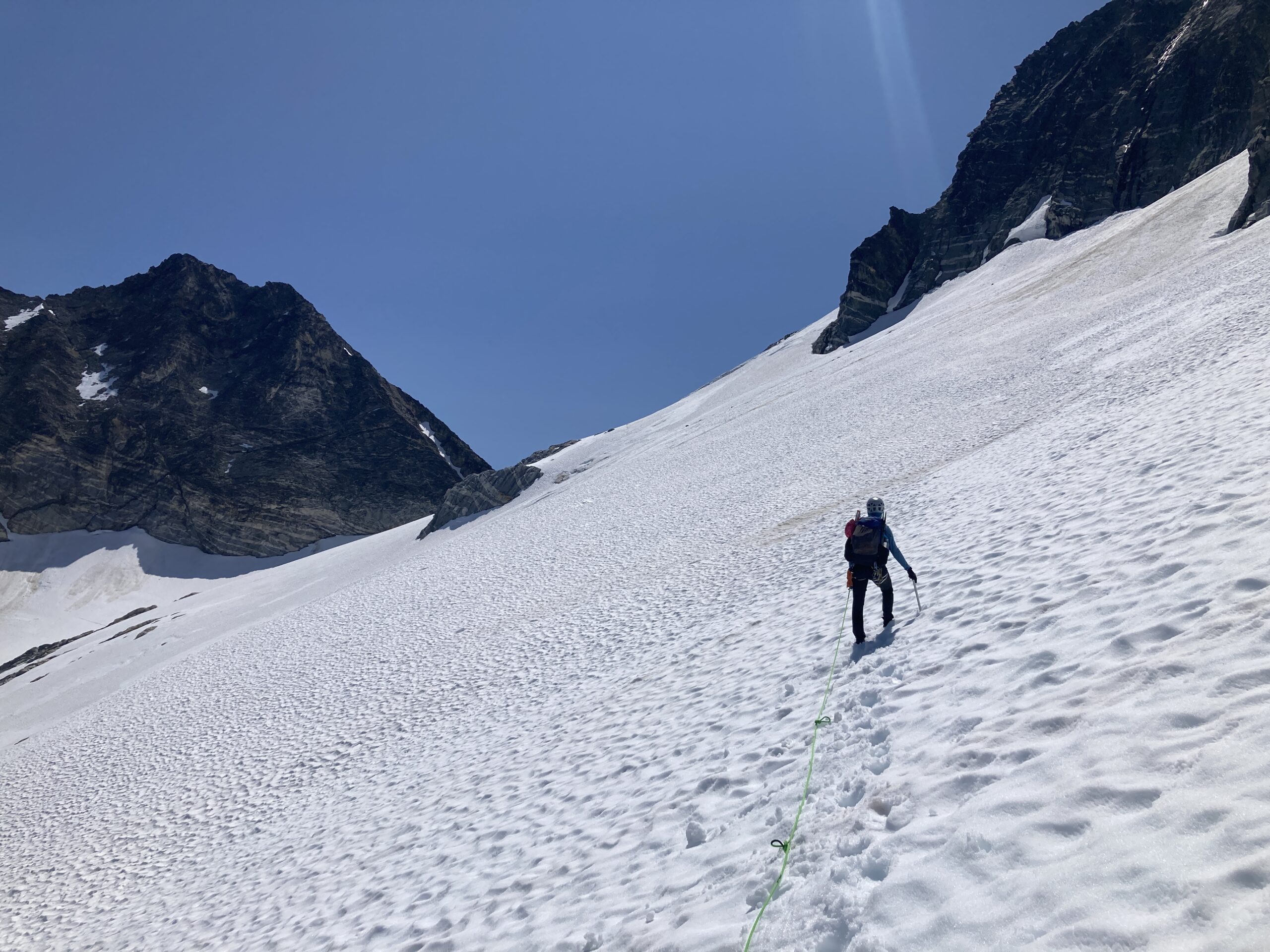
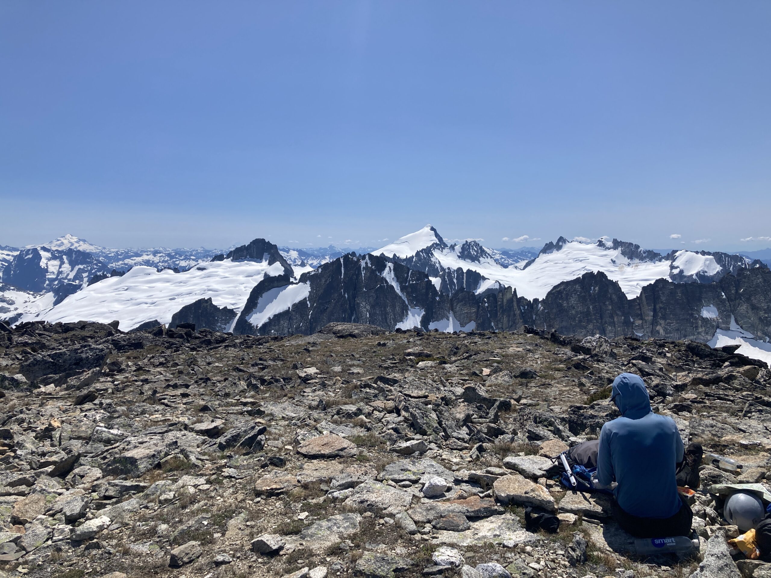
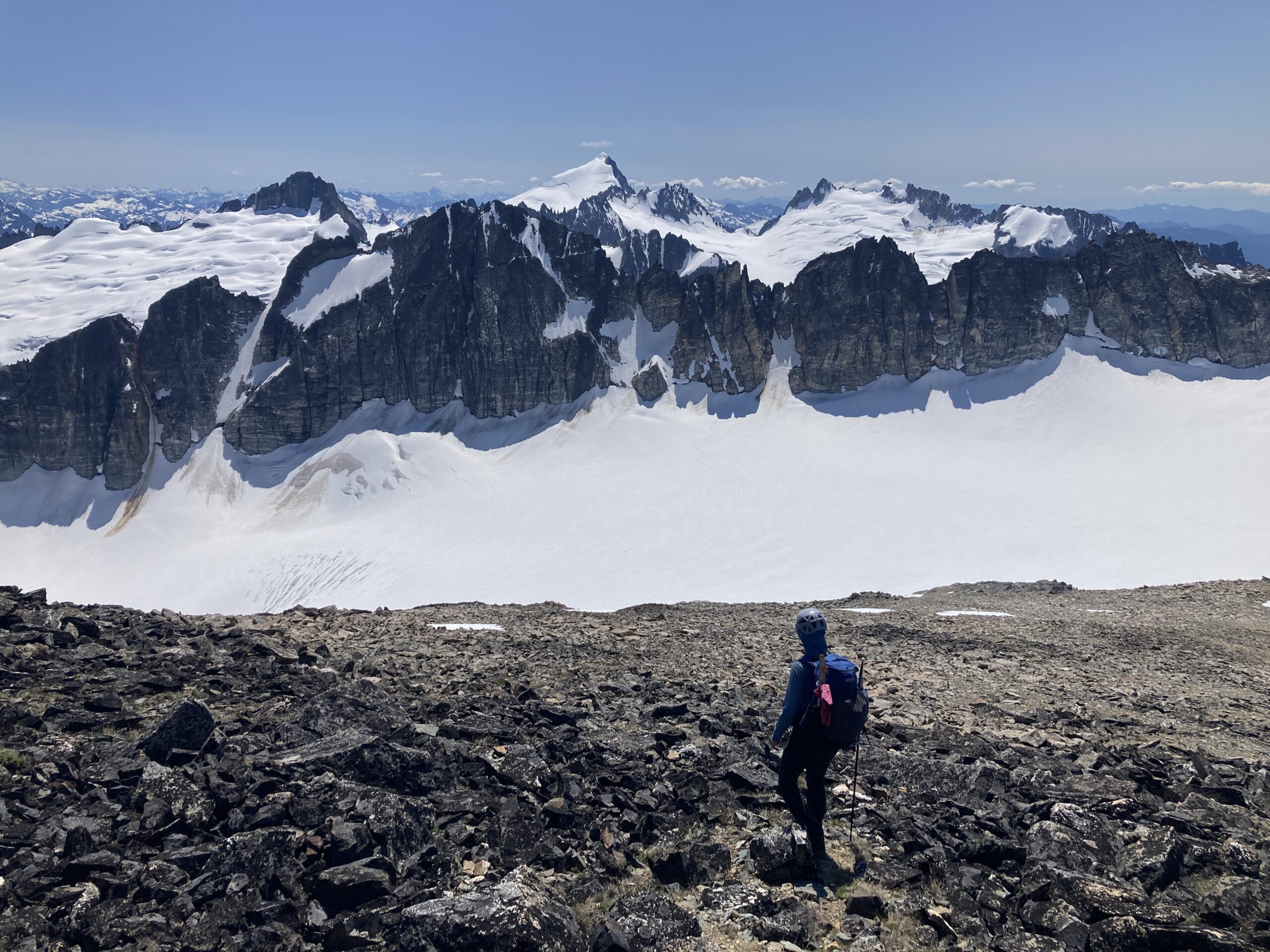
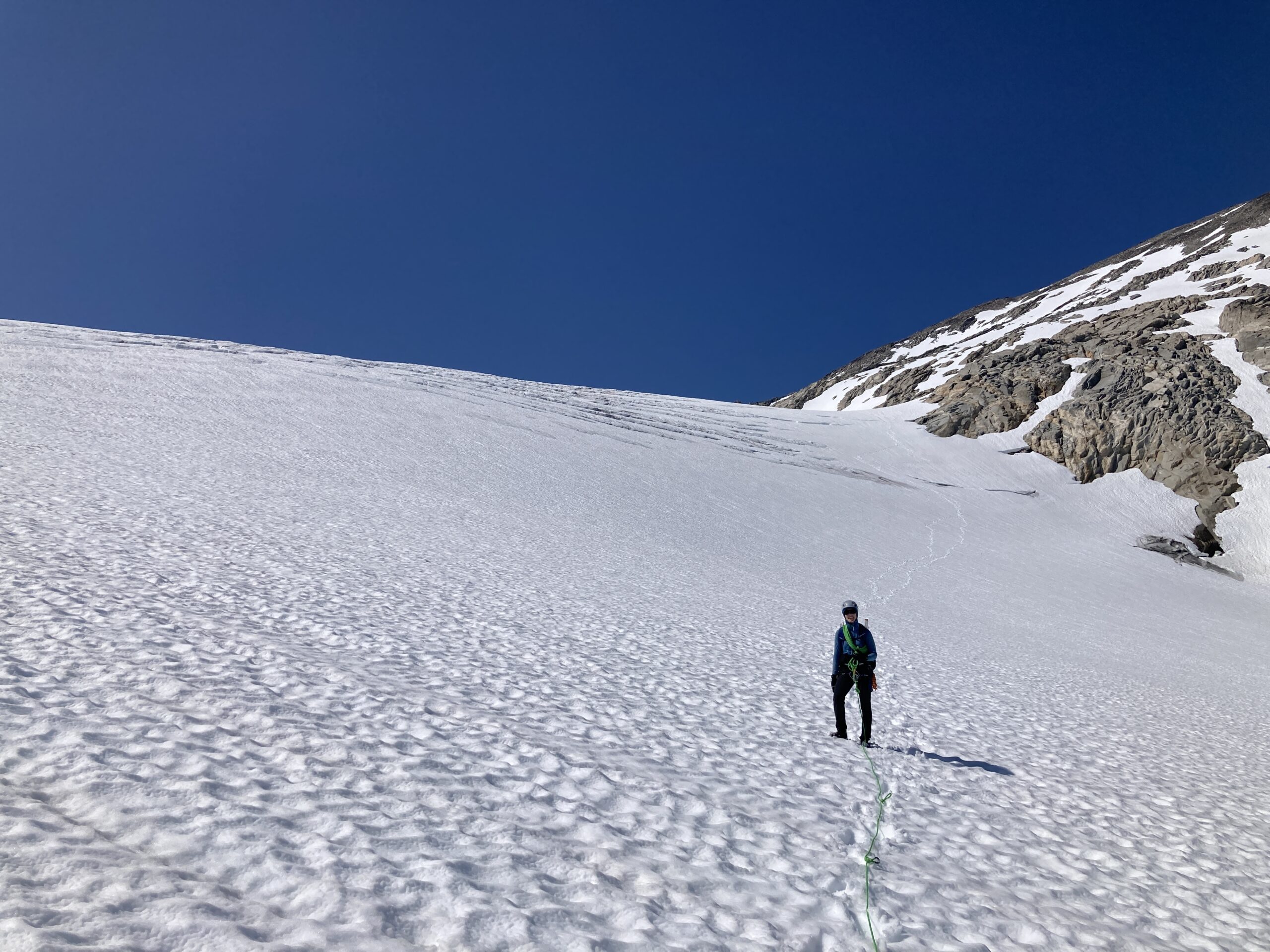
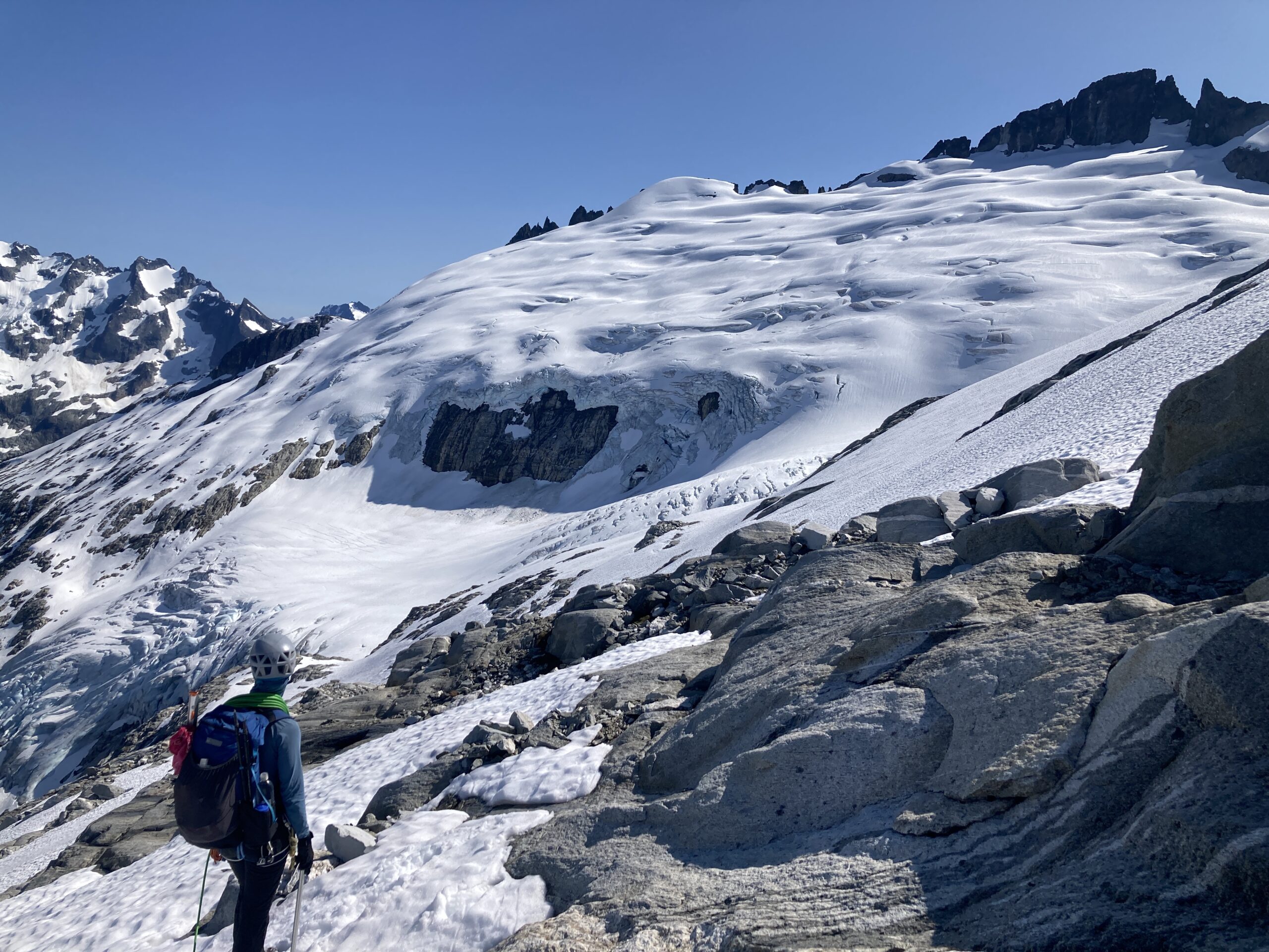
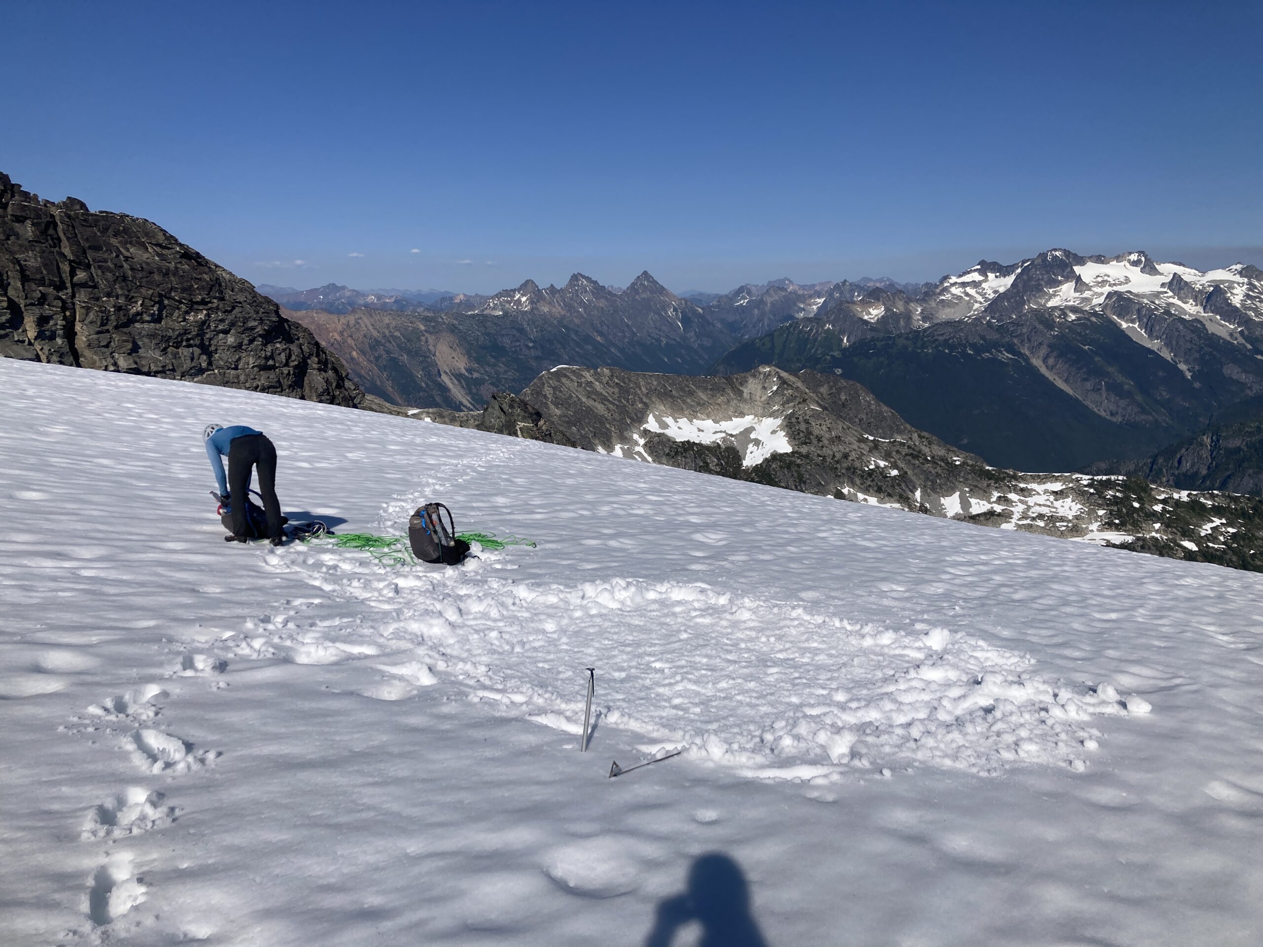
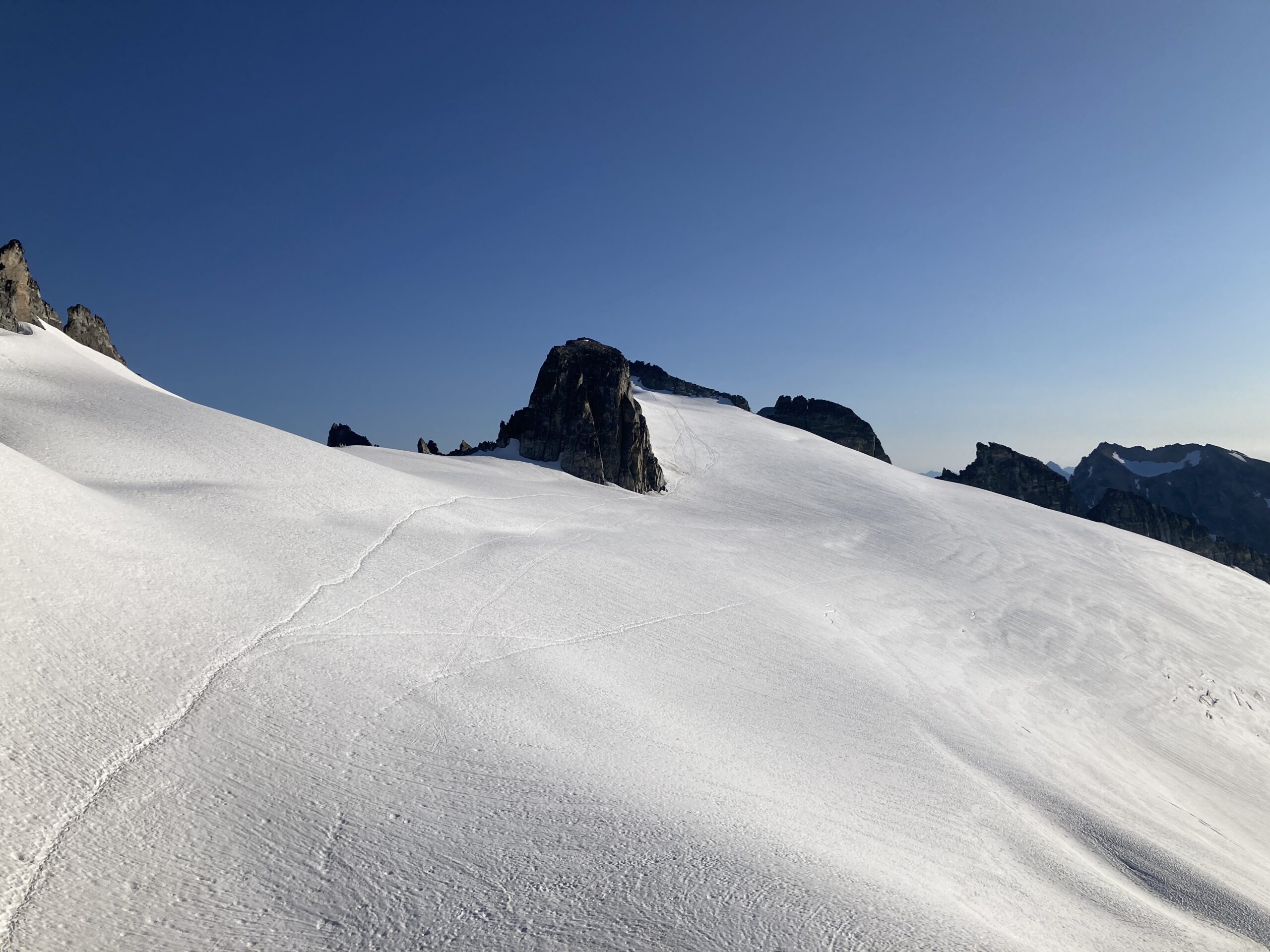
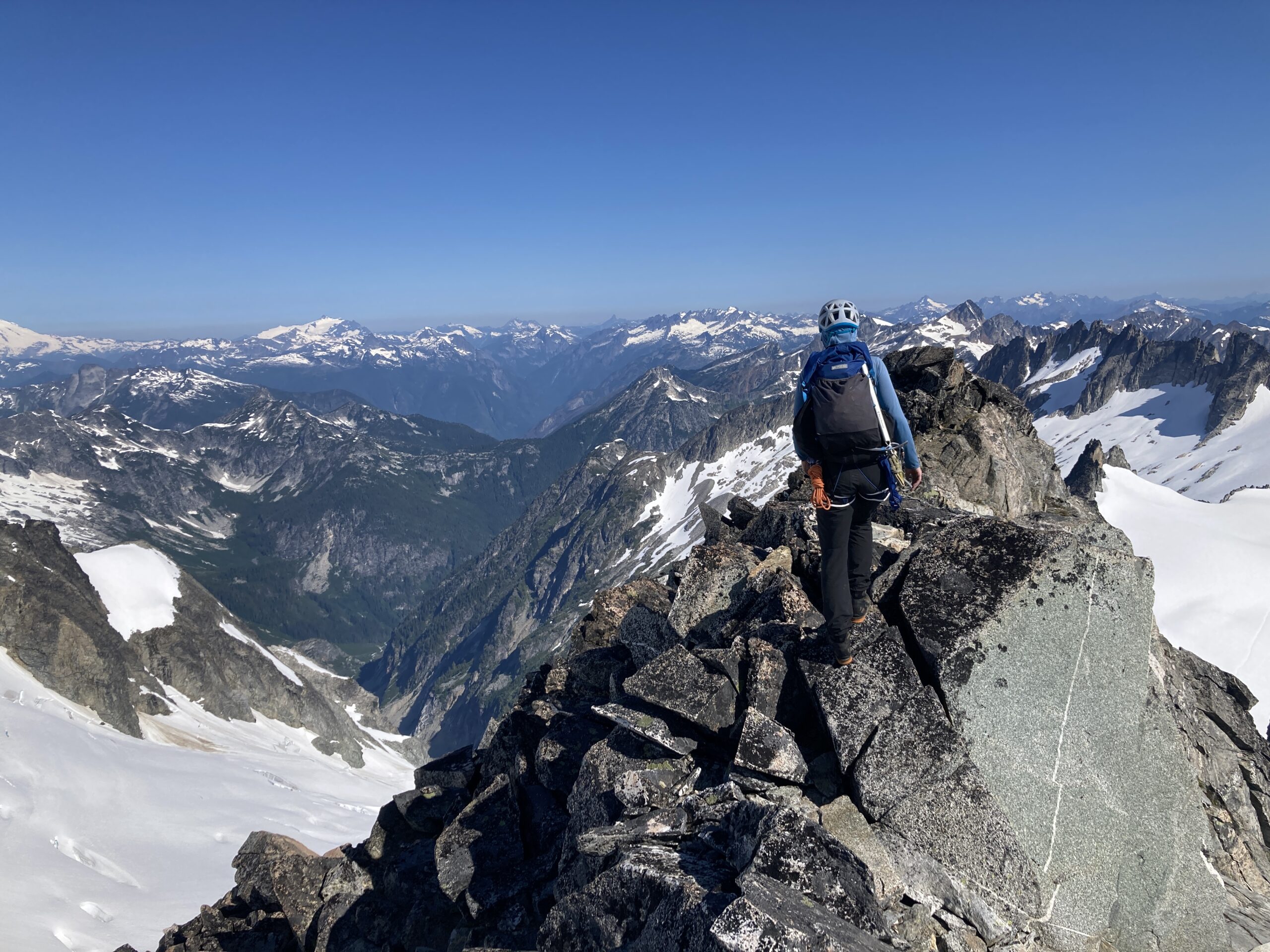
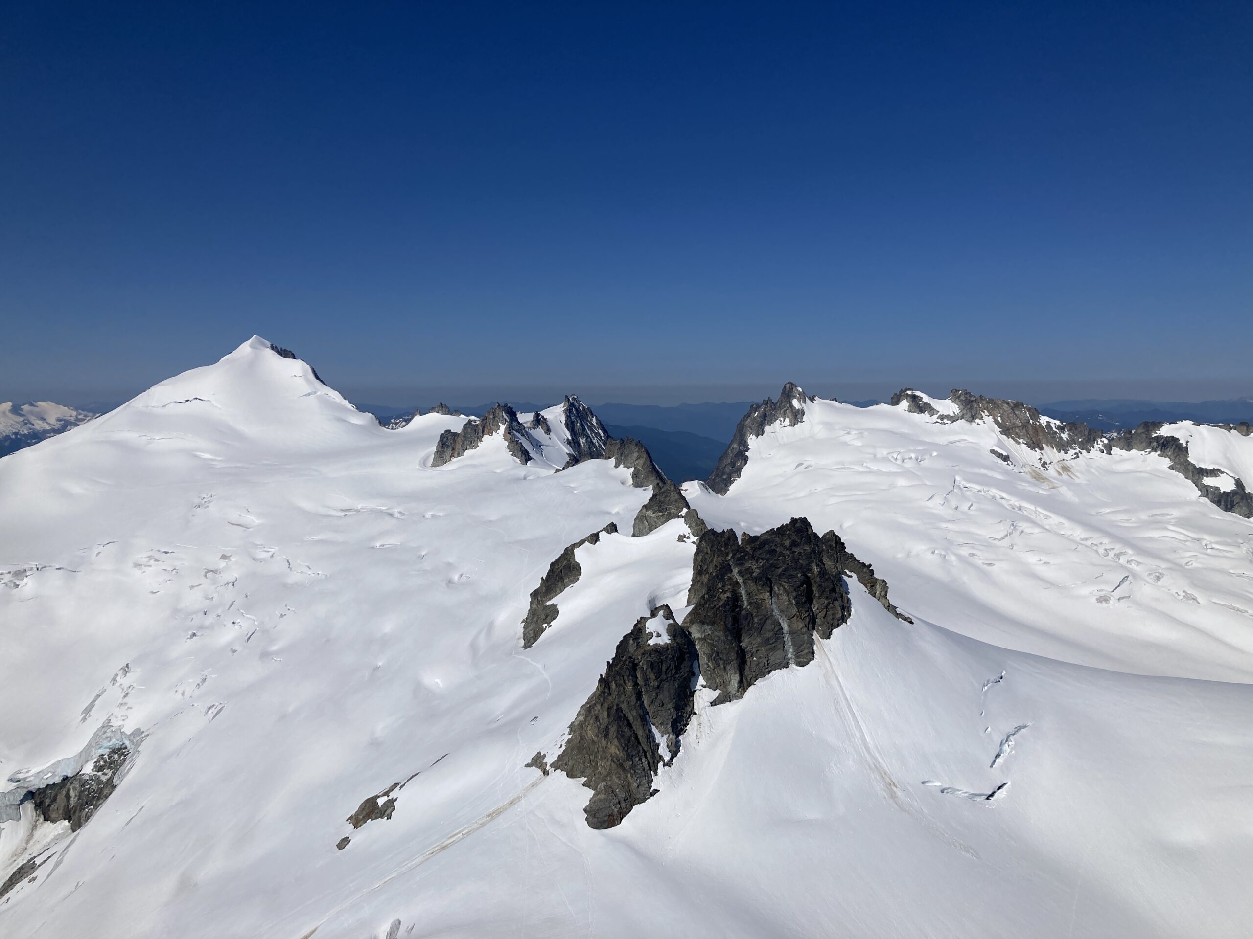
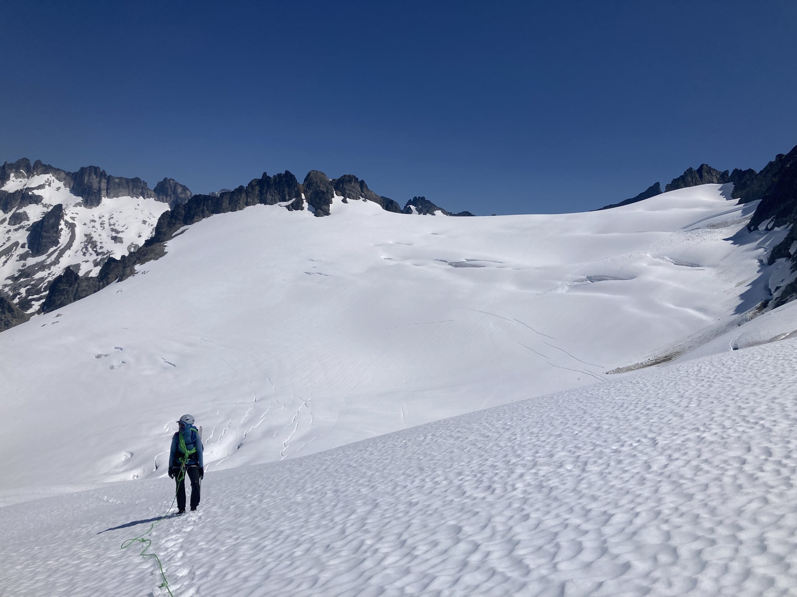
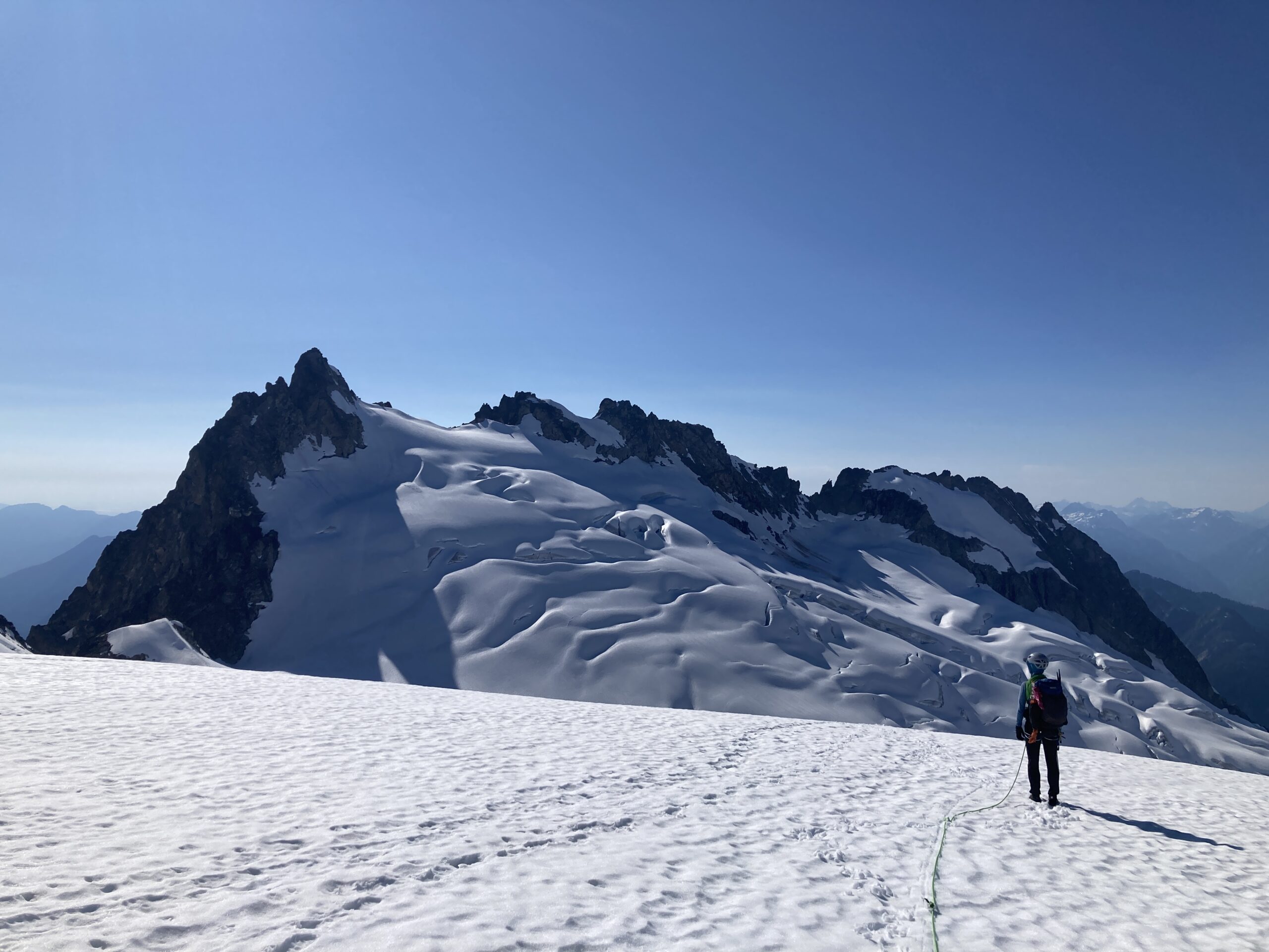
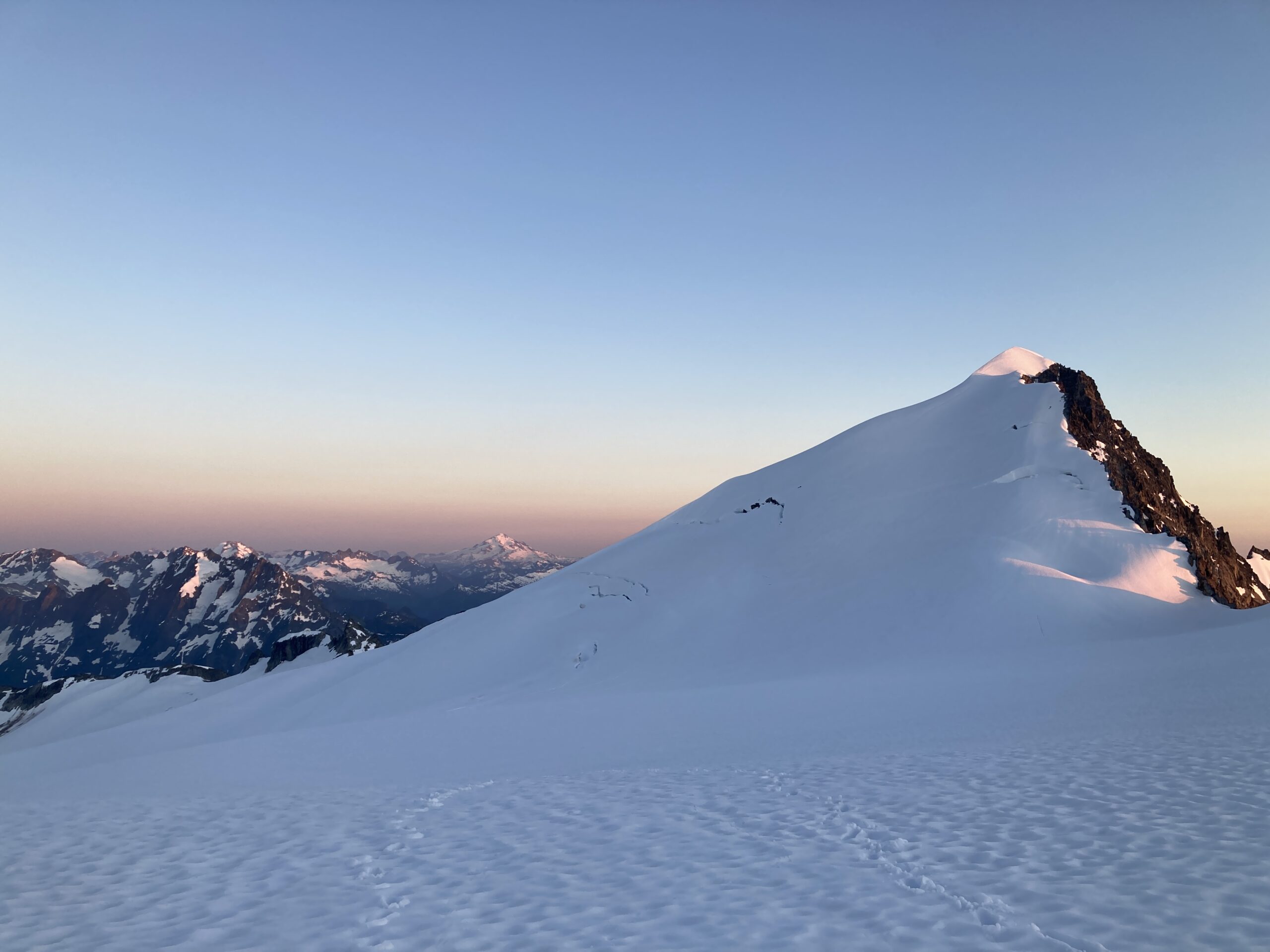
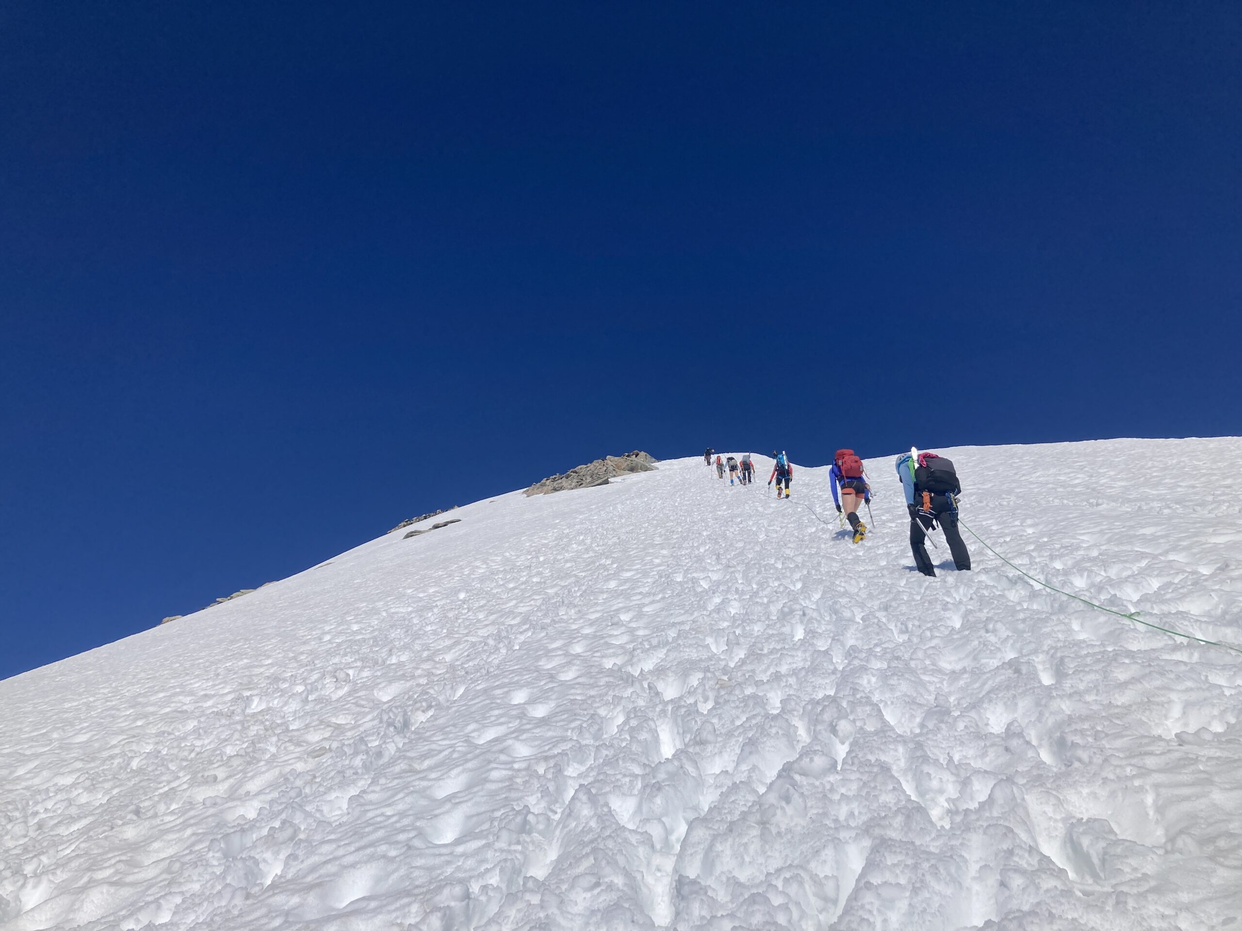
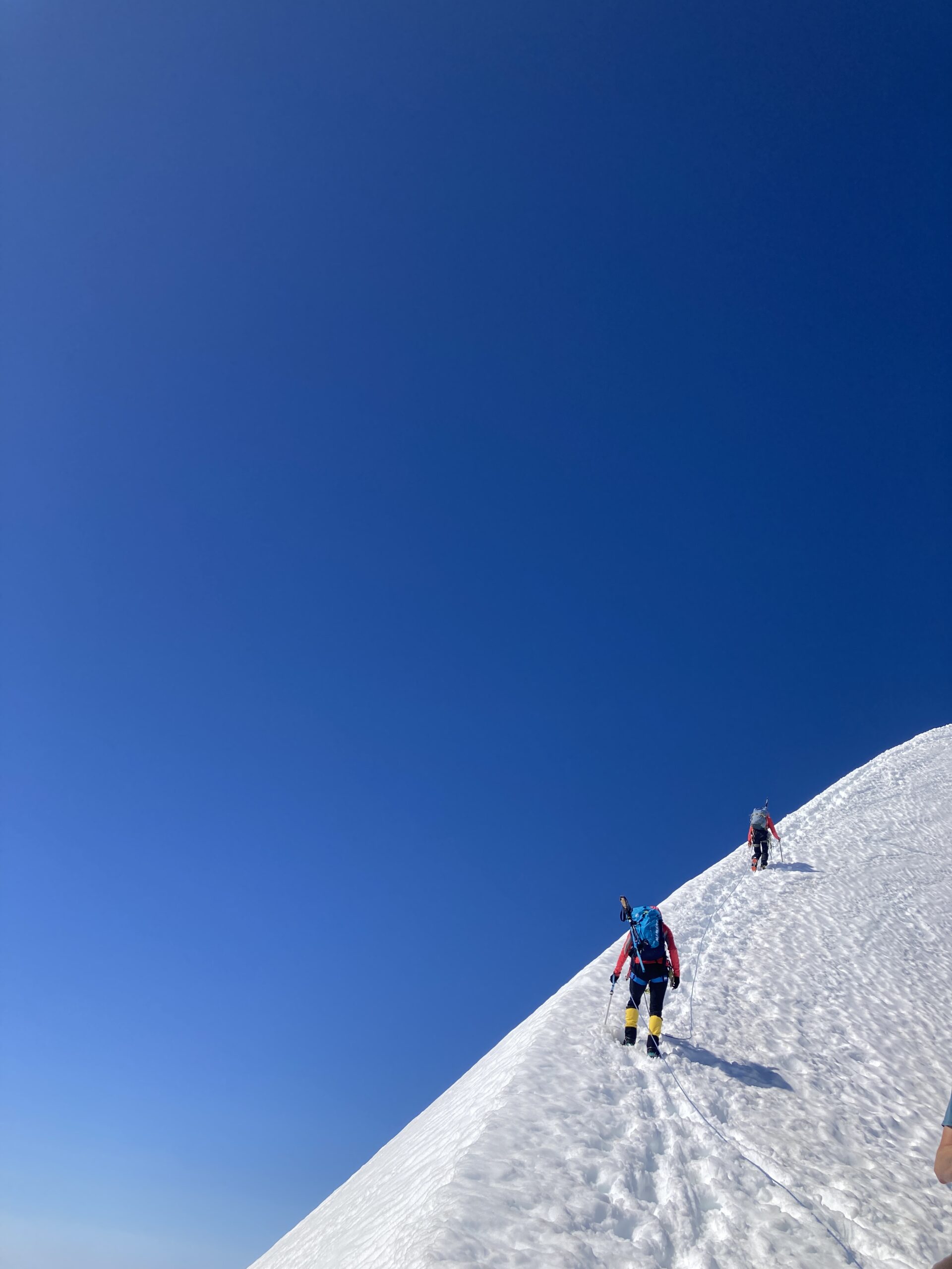
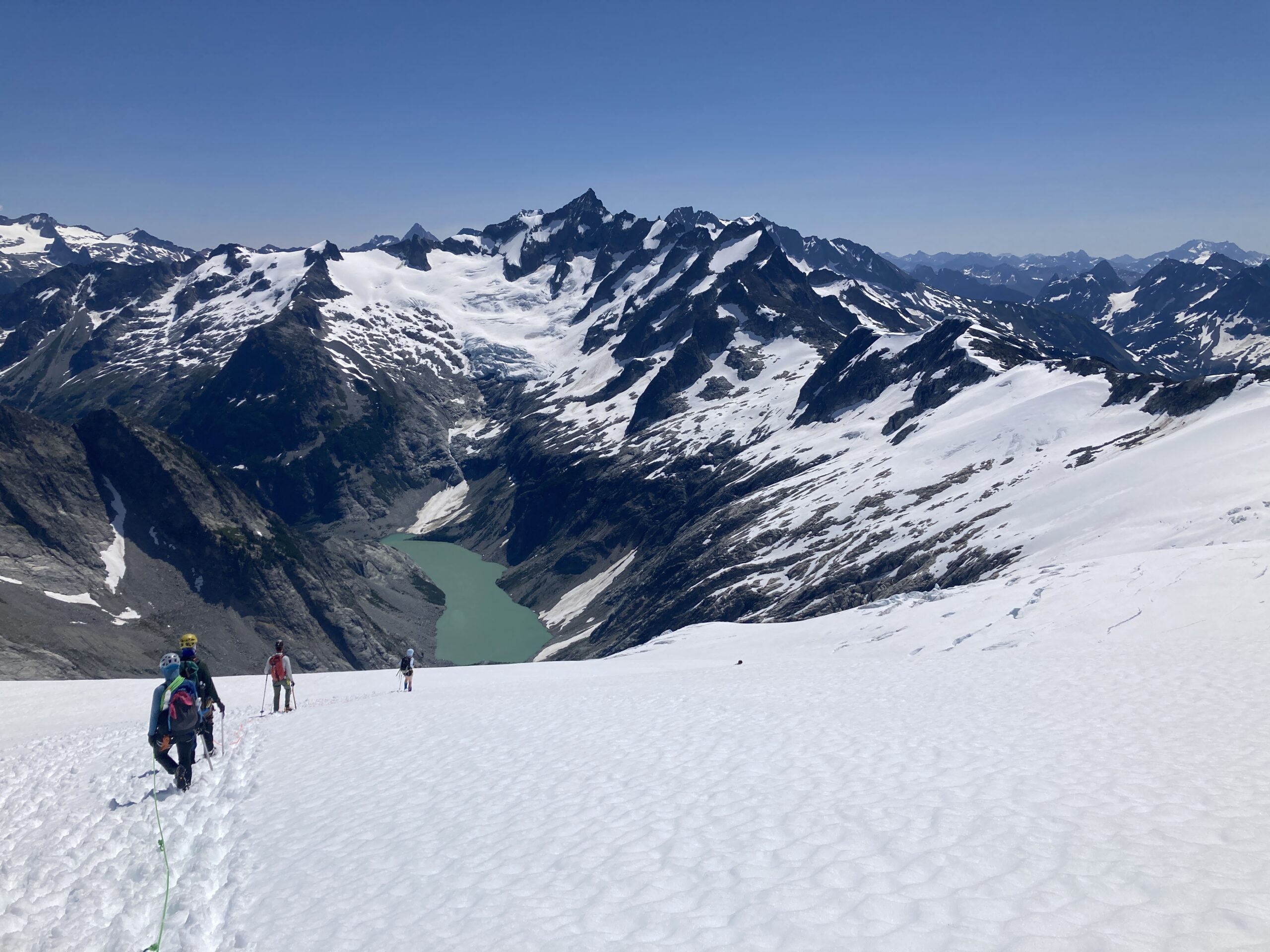
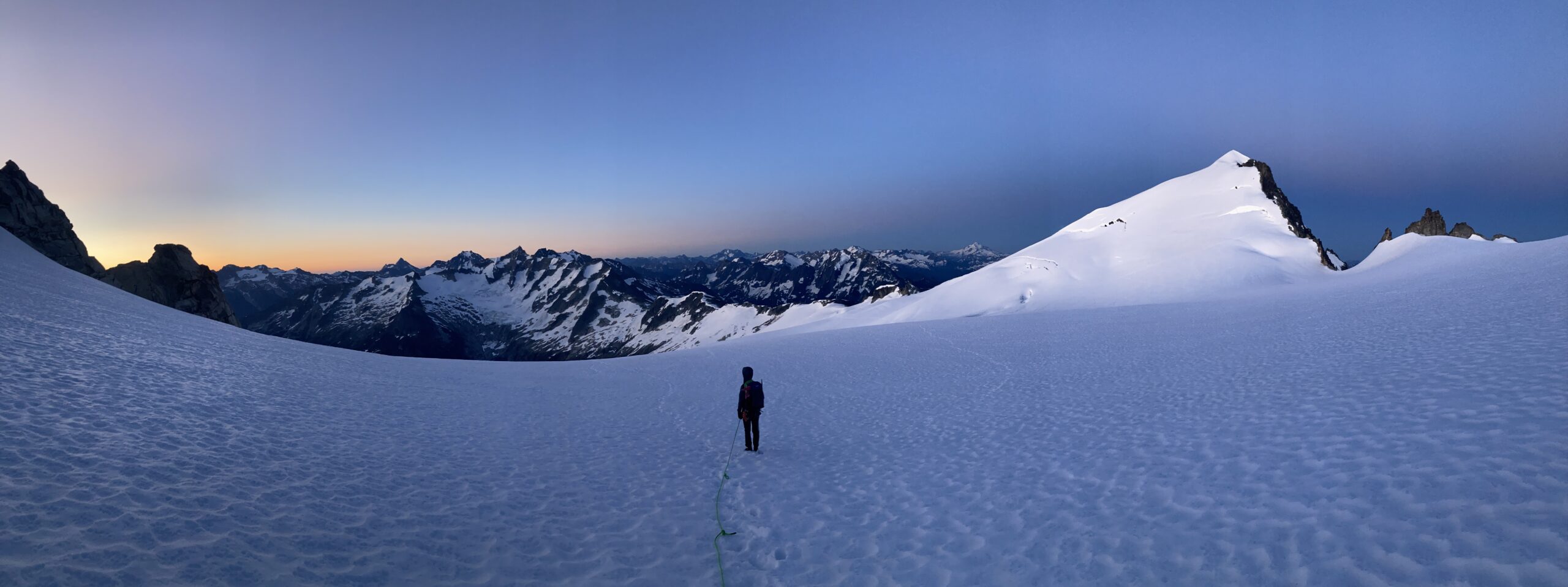
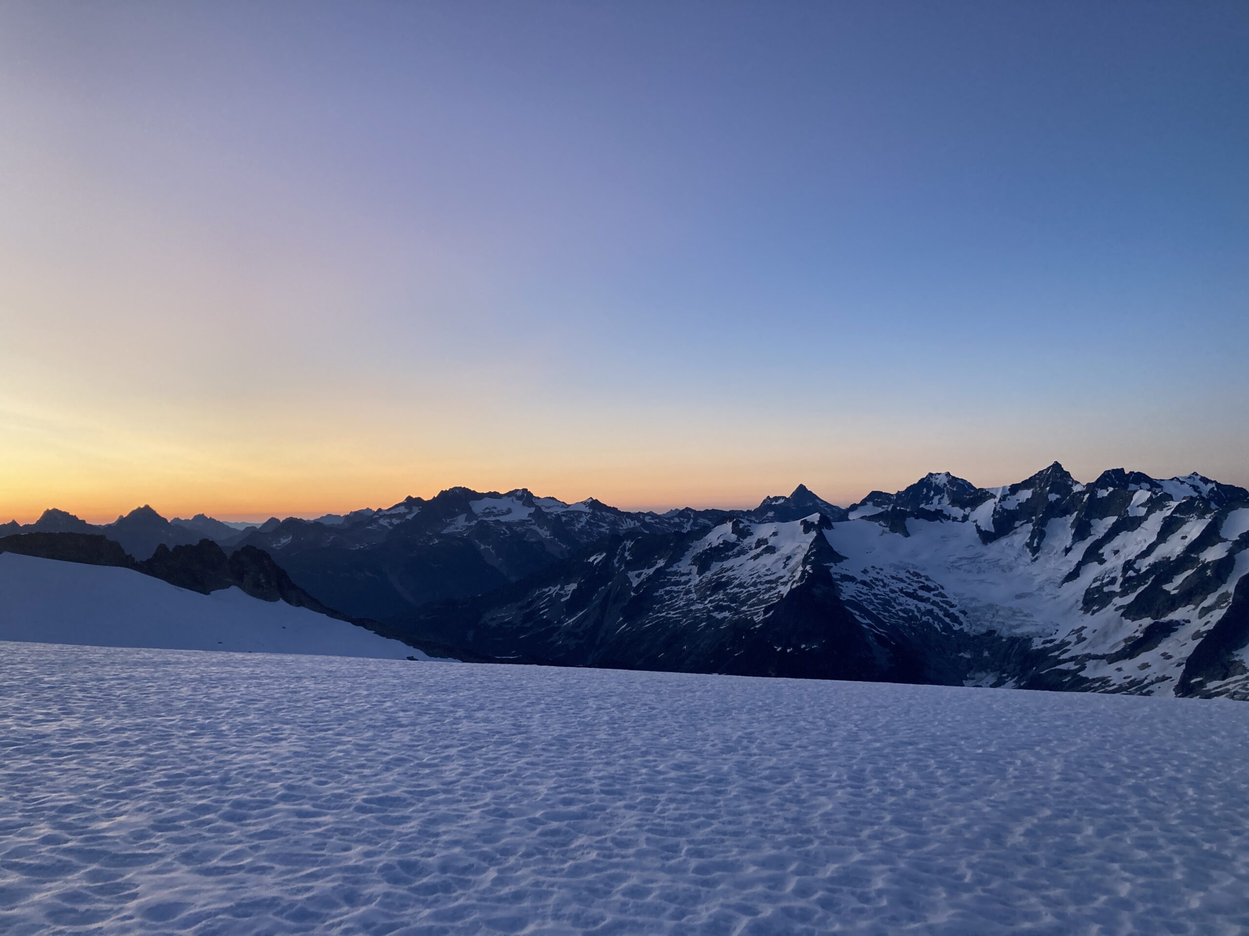
We went up the ridgeline north of the lake, roped up and then headed across the Borealis Glacier under Primus peak to Lucky Pass. The glacier was still snow covered and the snow was soft. No obvious crevasses were visible. We took another quick break on Lucky Pass and then headed up the East Ridge of Primus on Class 2 terrain. The terrain was mostly steep boulder hopping.It was a nice flat summit to take a longer break on, as we had done the biggest daily gain of the trip now and were excited to be traveling up high where the views are constant and incredible!!
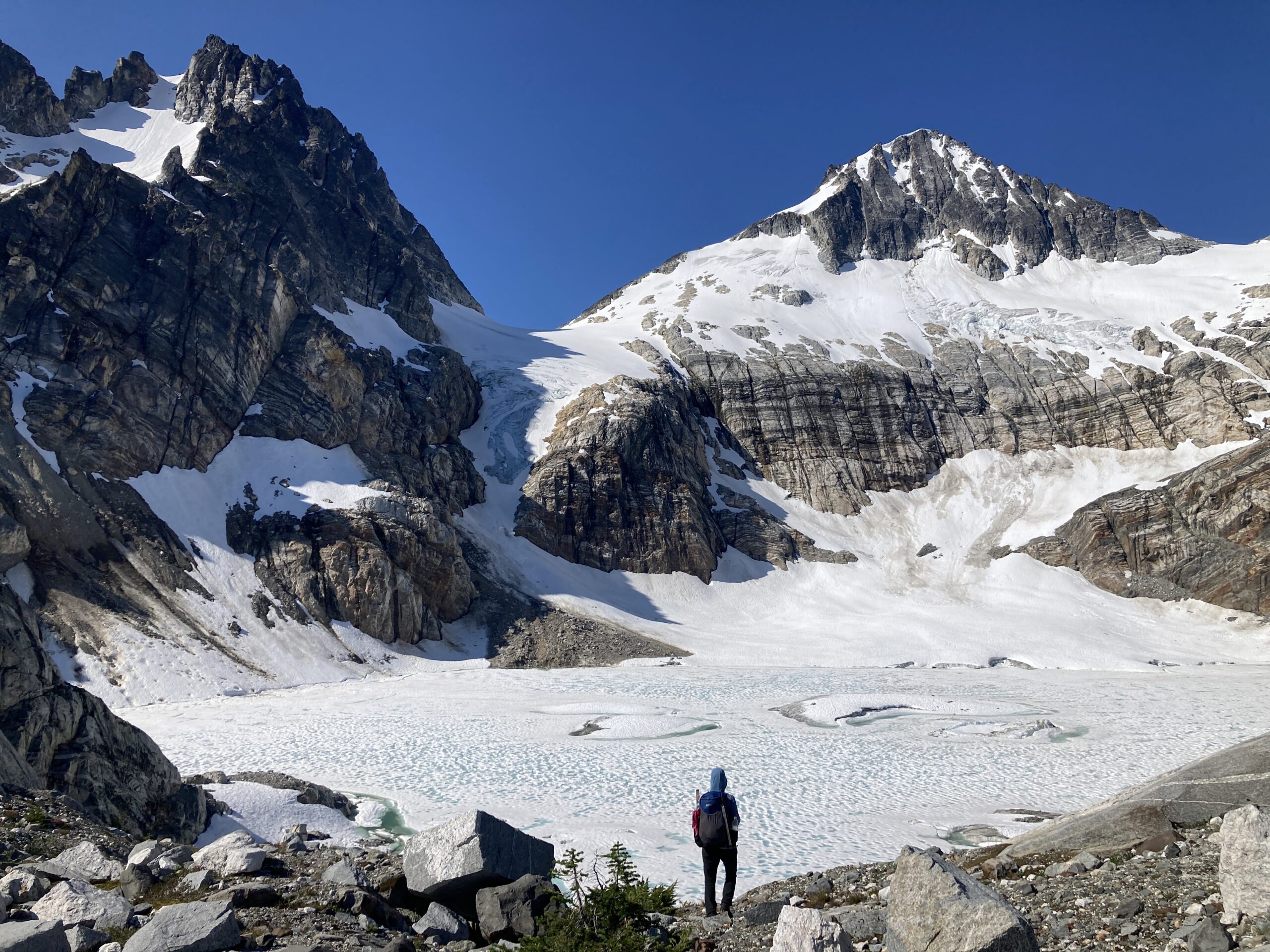
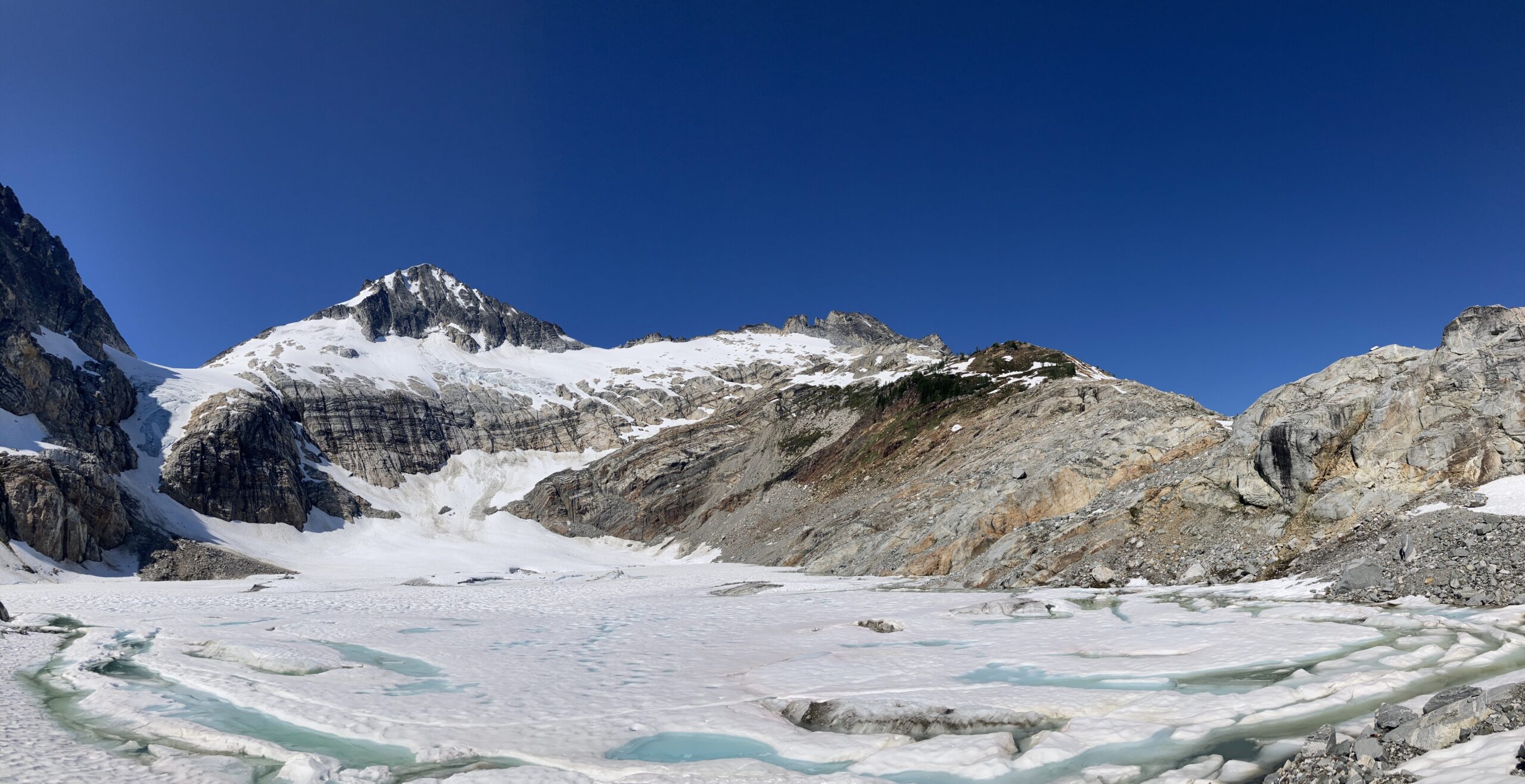
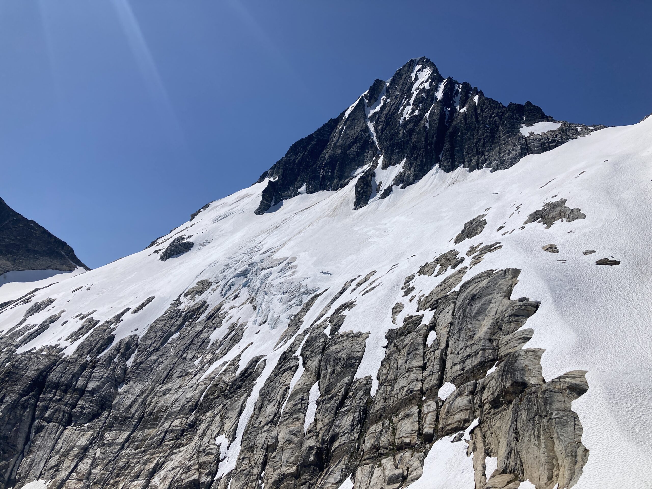
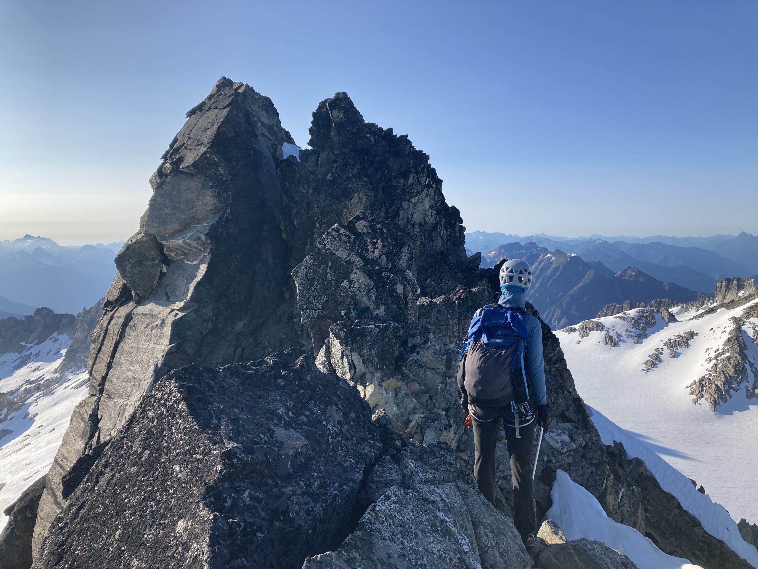
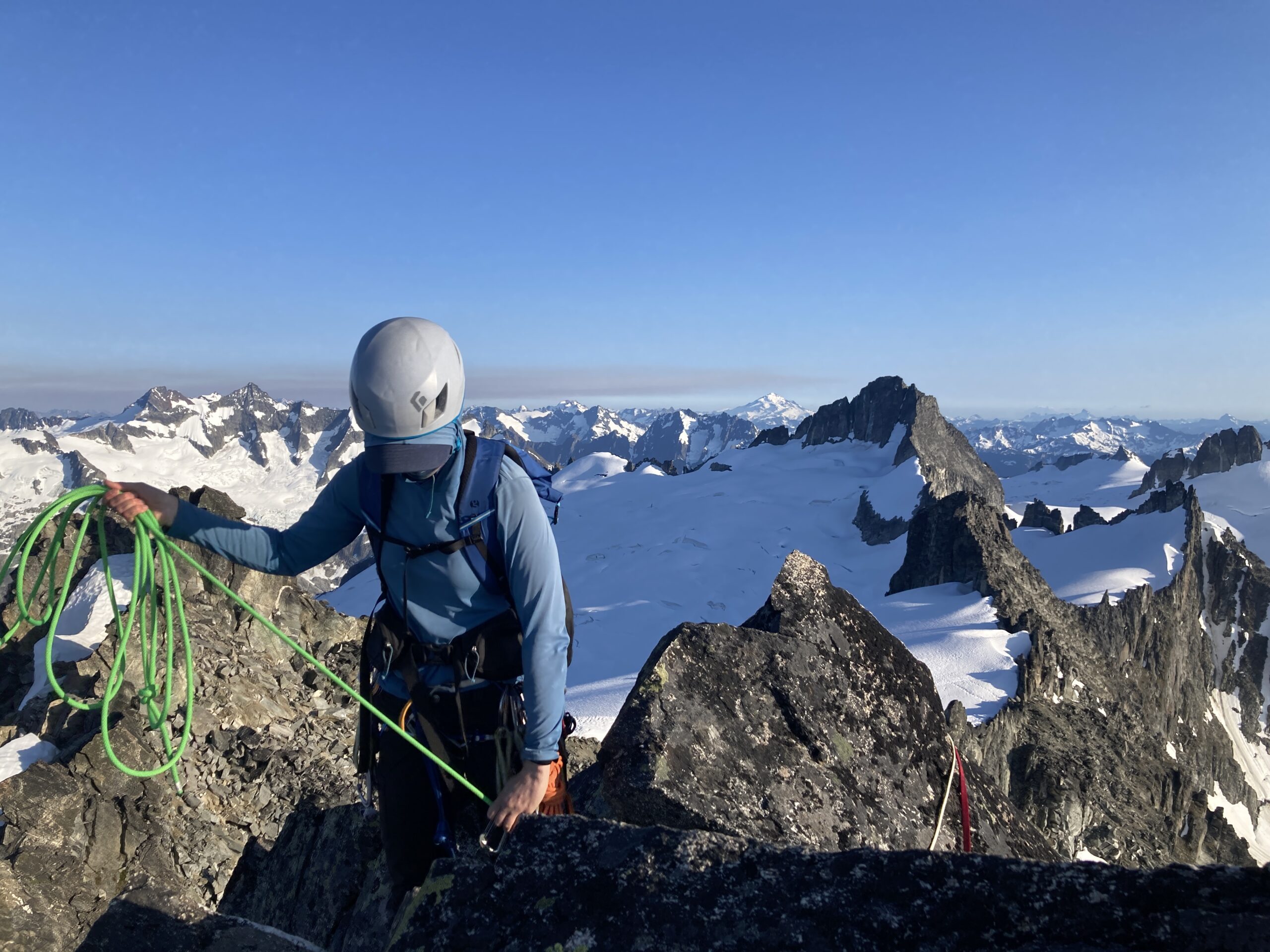
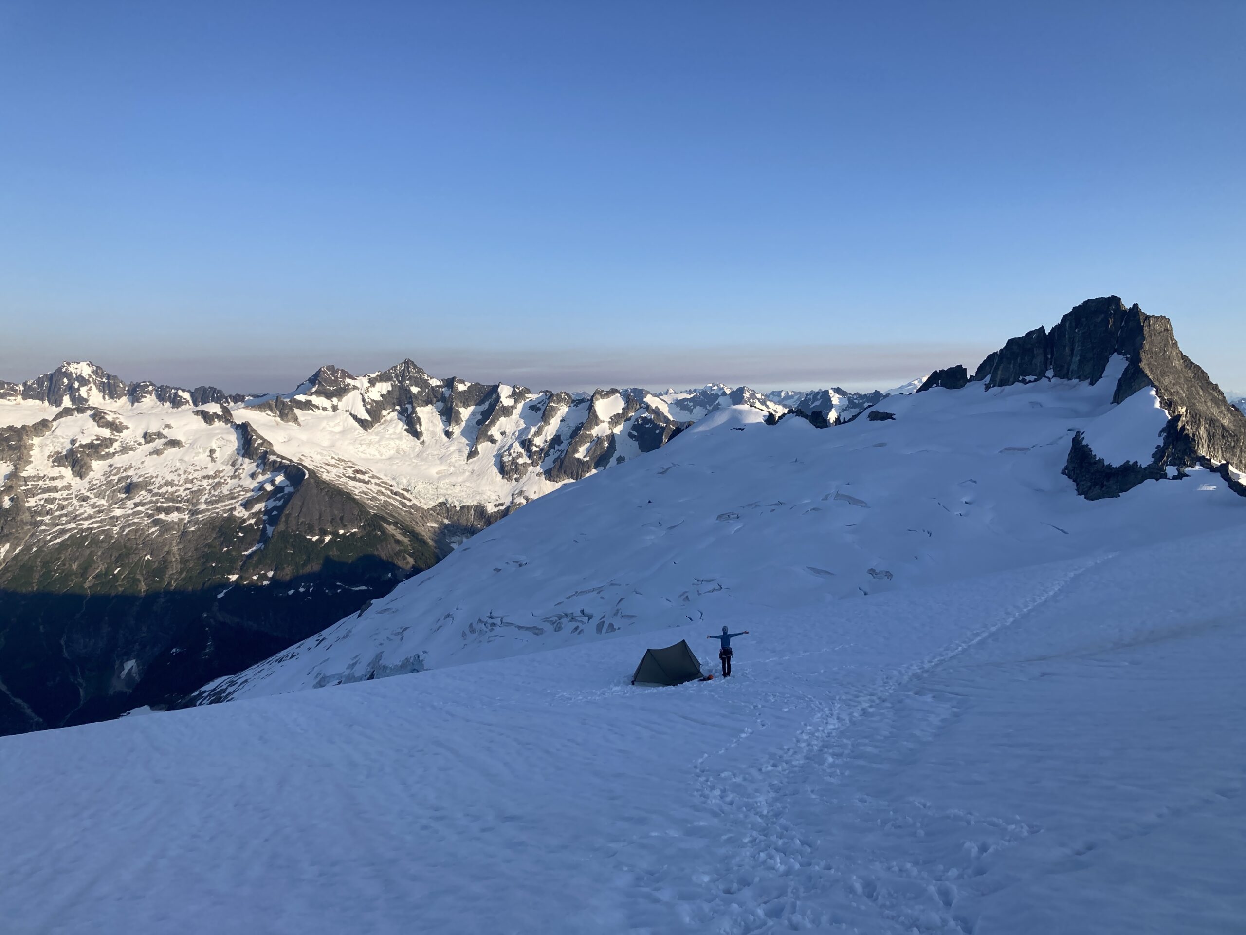
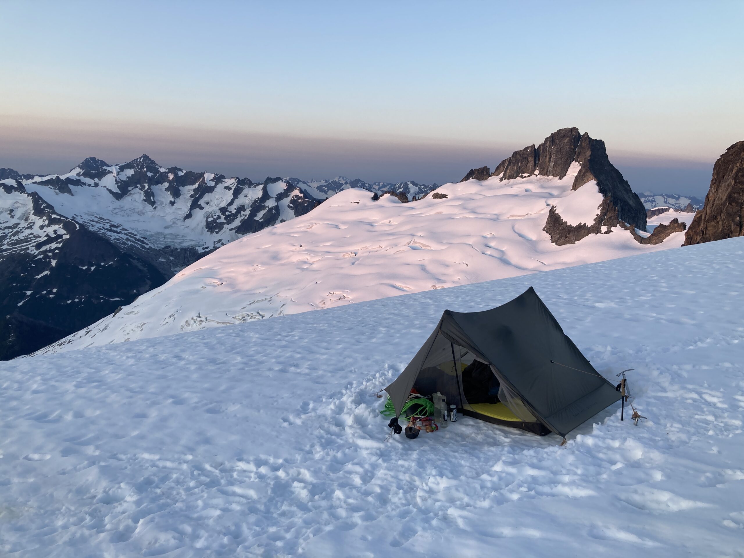
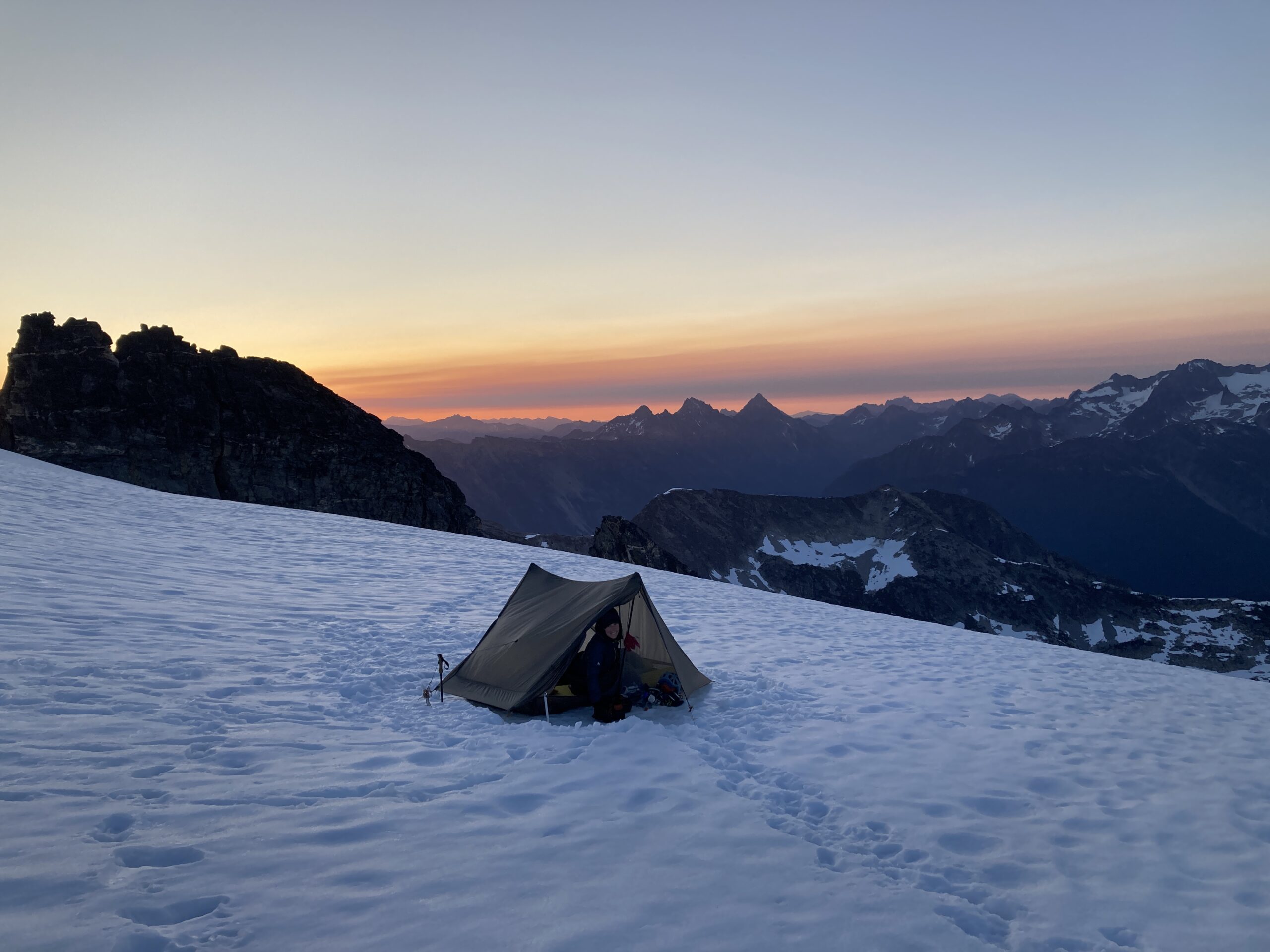
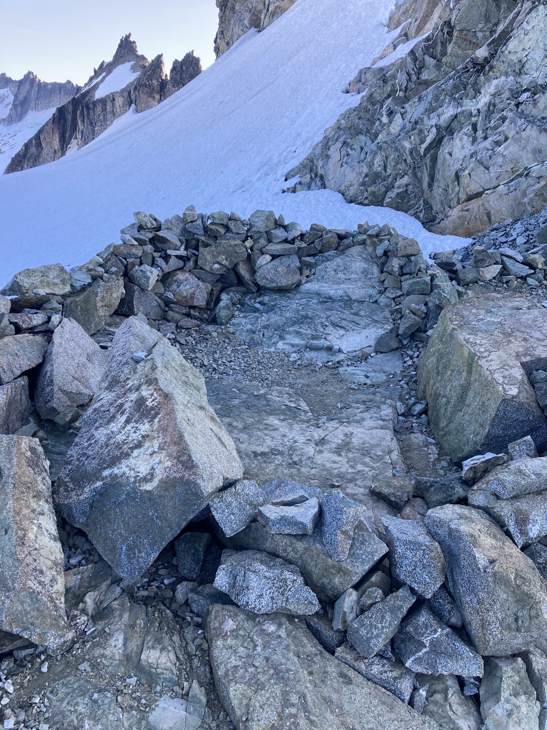
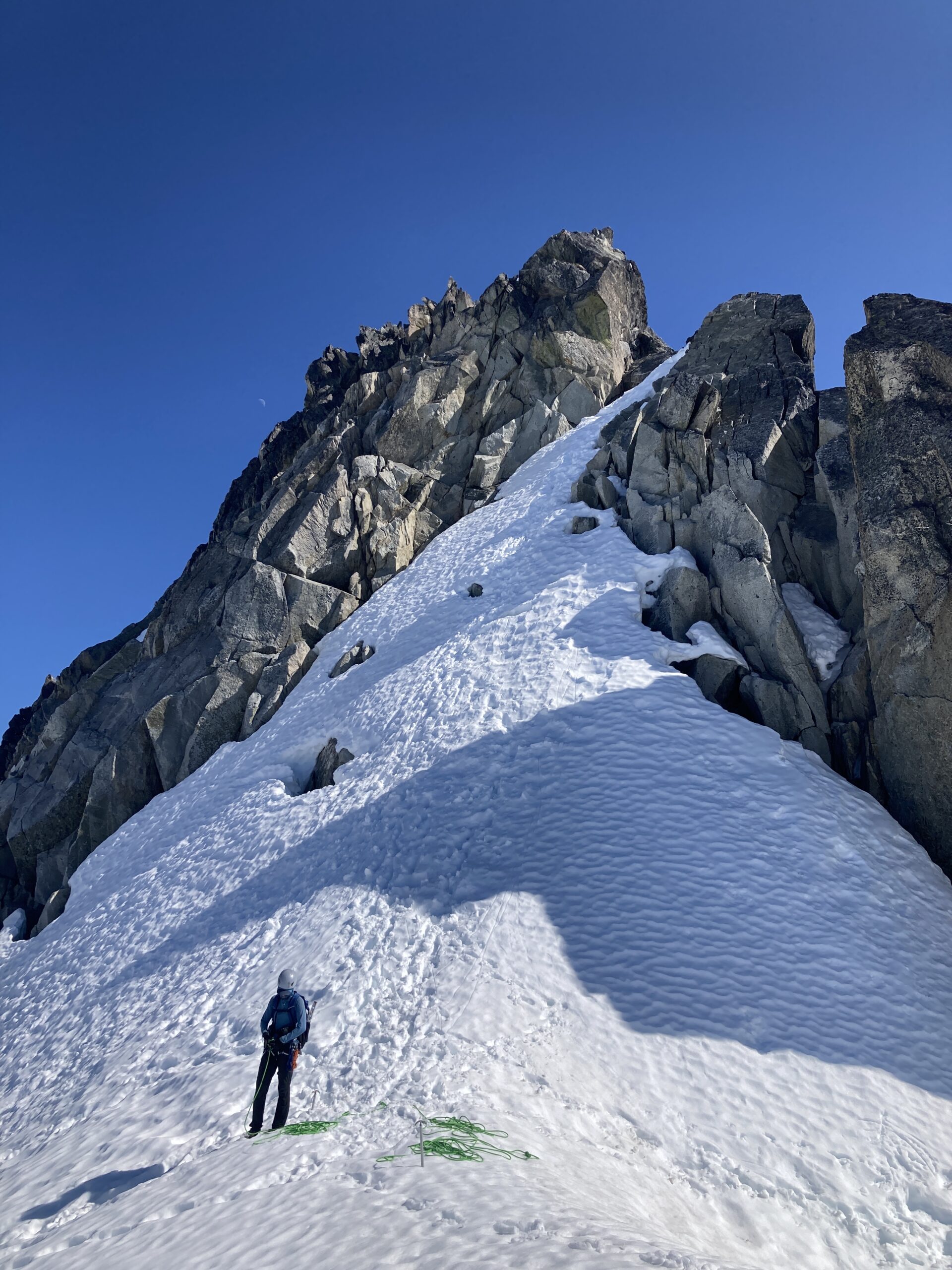
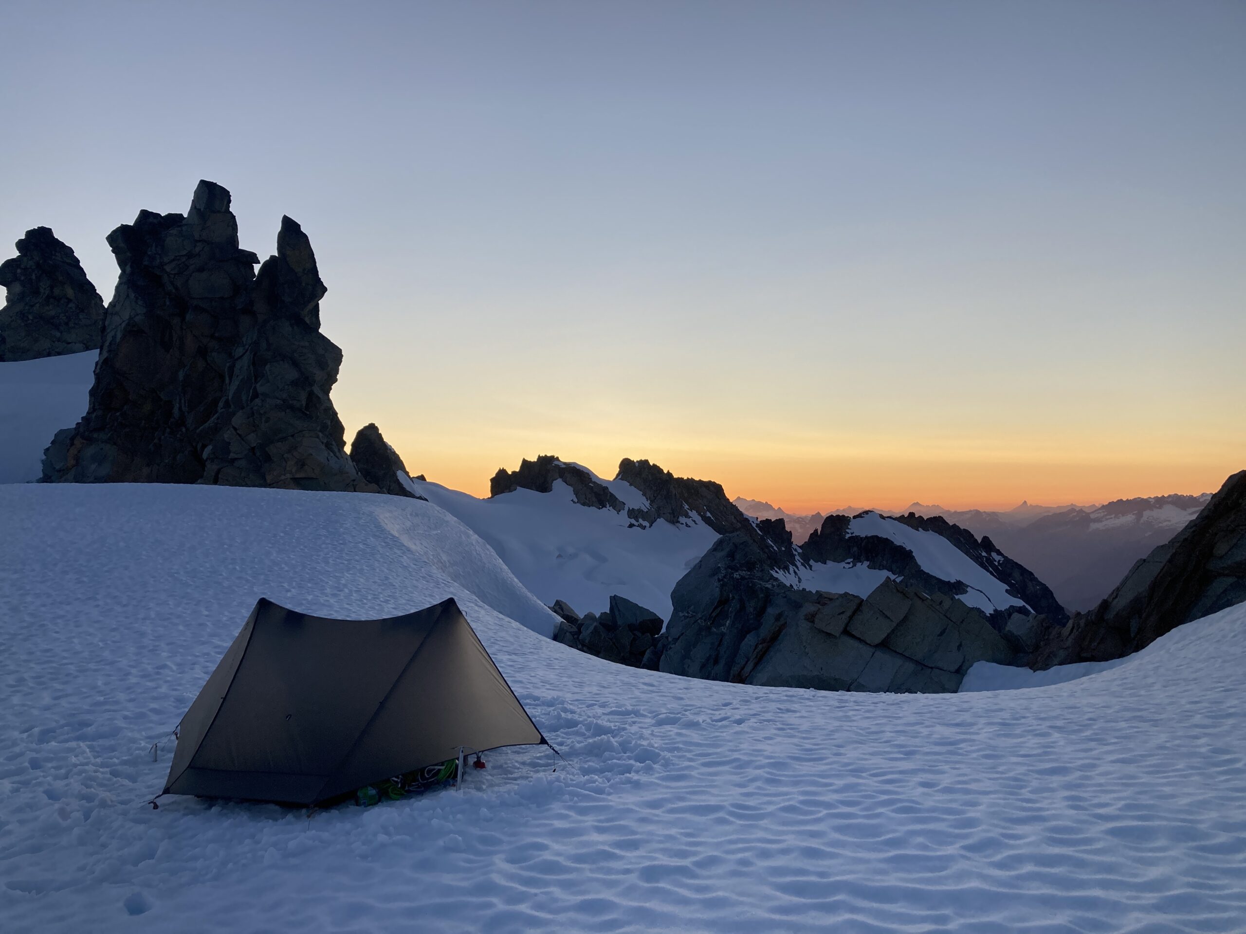
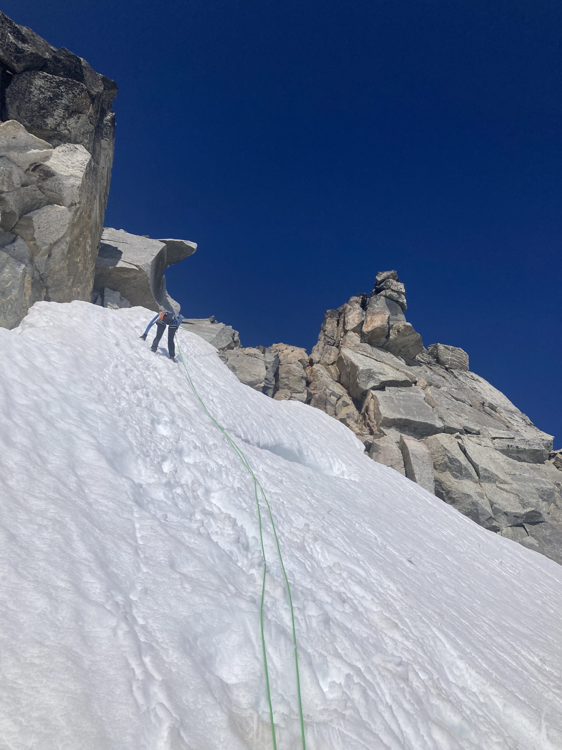
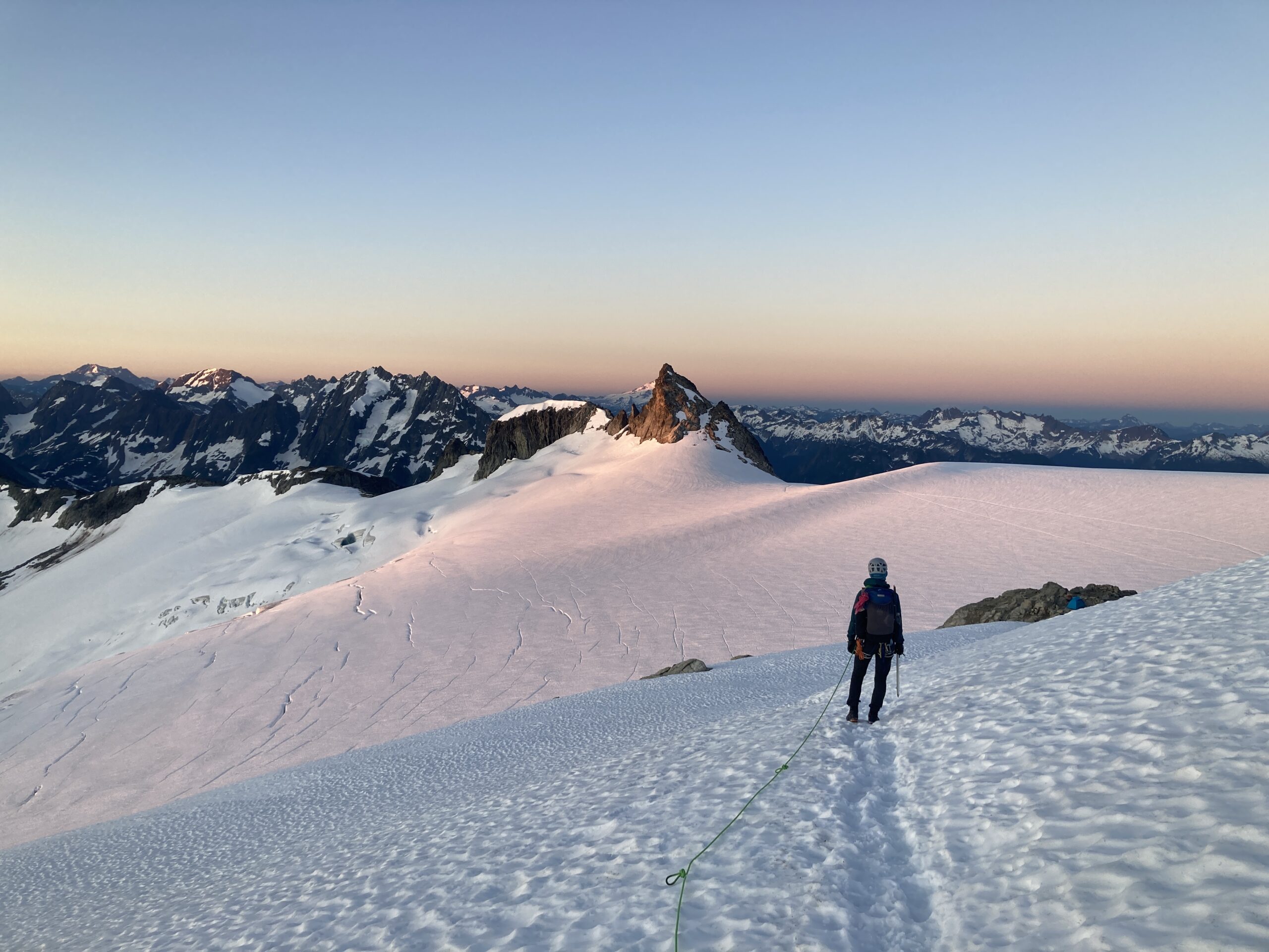
We dropped down the West Ridge and onto the North Klawatti Glacier. We were able to glissade down a section of the snow which made the descent faster. We roped up and headed down the North Klawatti Glacier along the north side (the route looks better on the south side!). Then, we wrapped around the eastern tip of the Austera Towers ridgeline and climbed up to 8000+ feet and set up camp right below Austera Peak. We ate a quick snack and headed for Austera. The ridgeline to the final summit rock towery thing is an easy scramble. We roped up for the last 50-100 feet or so of steeper exposed climbing and then did one rappel off the summit back to a spot just below the ridgeline we had scrambled. From there it was an easy scramble/ hike back to camp.
We had started cold soaking our cous-cous meal before we left for Austera and when we got back it was fully absorbed and ready to eat. Delicious!
Day 3 – Climb Klawatti Peak & Dorado Needle
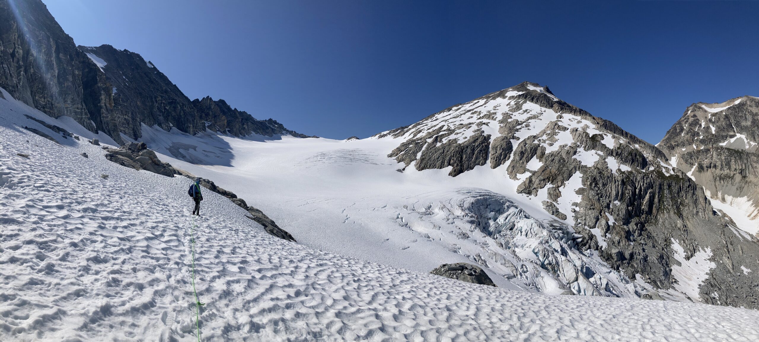
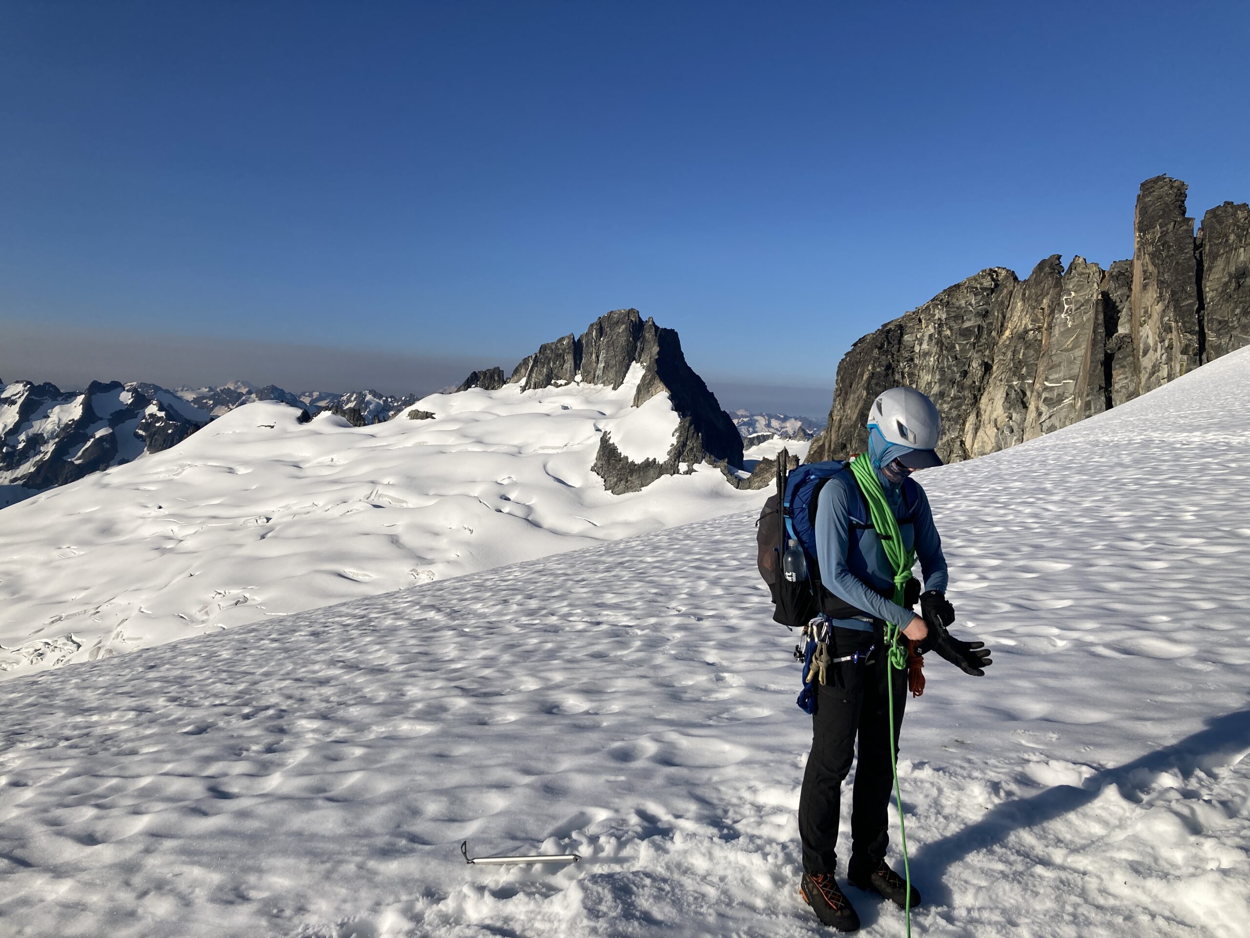
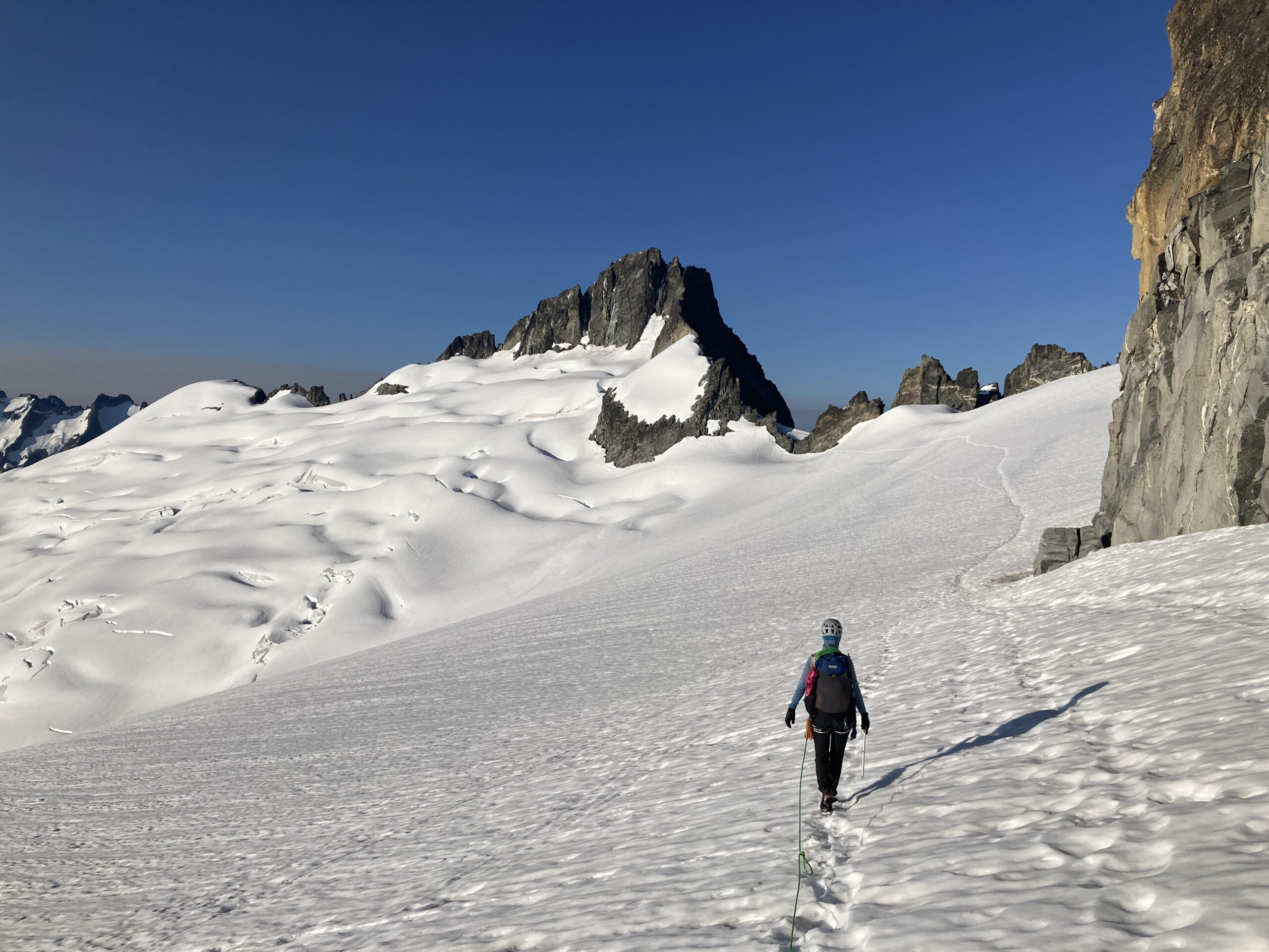
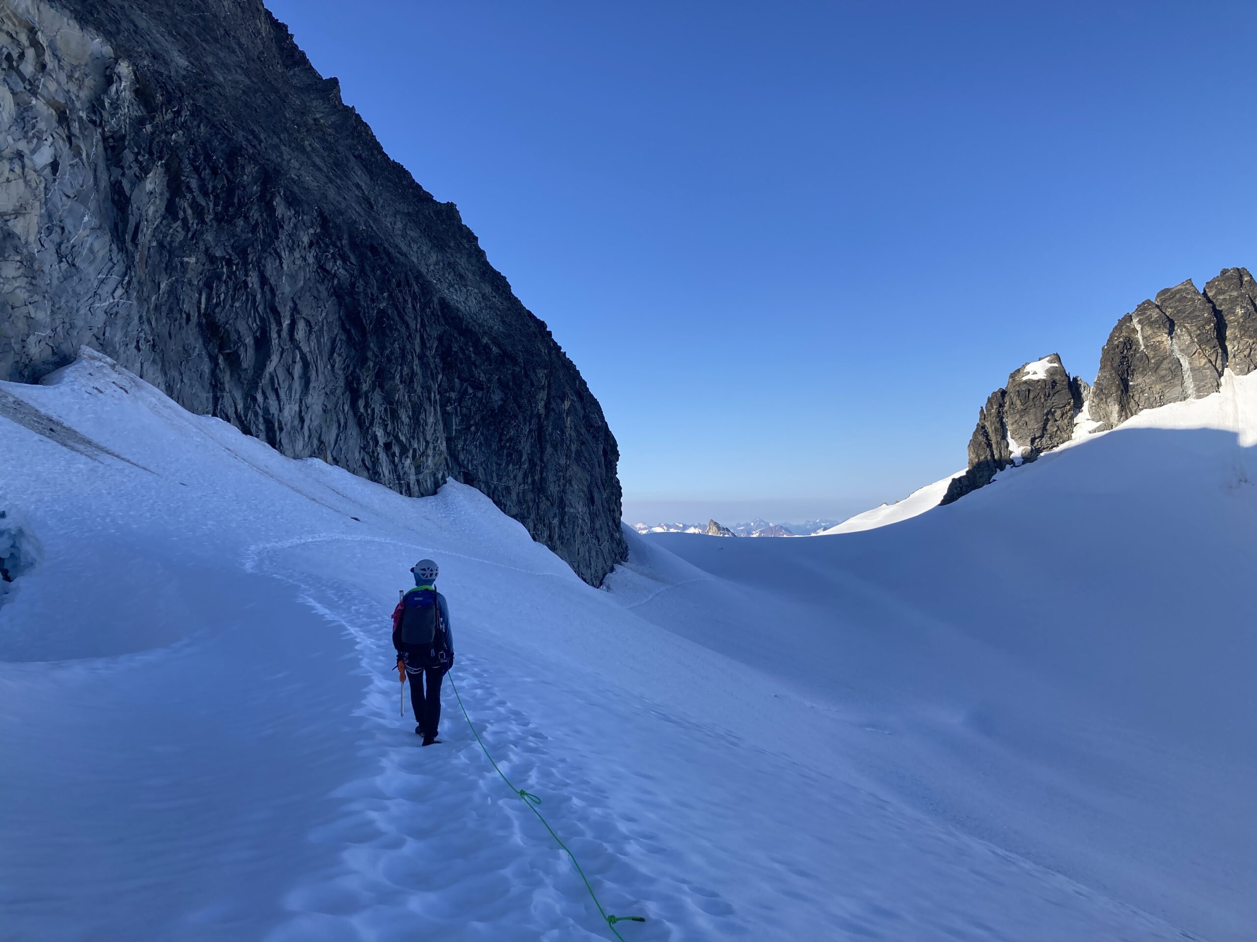
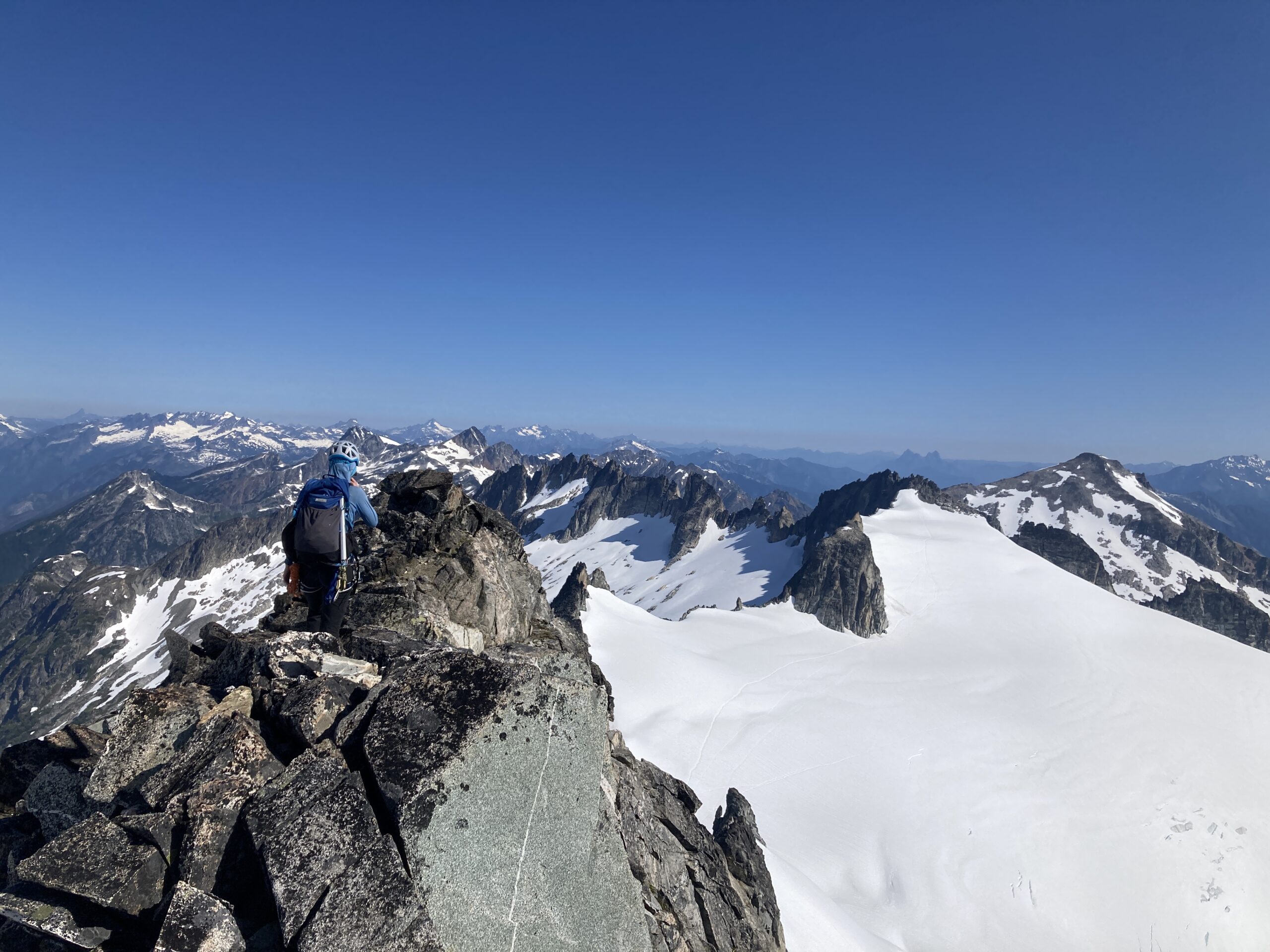
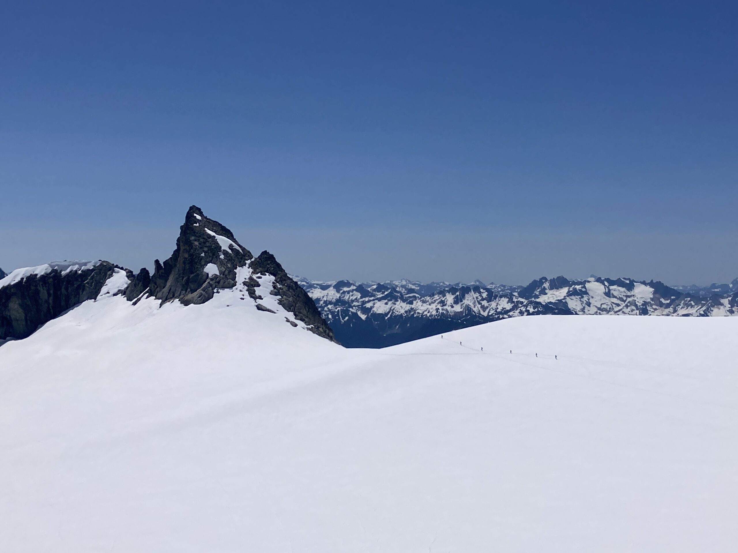
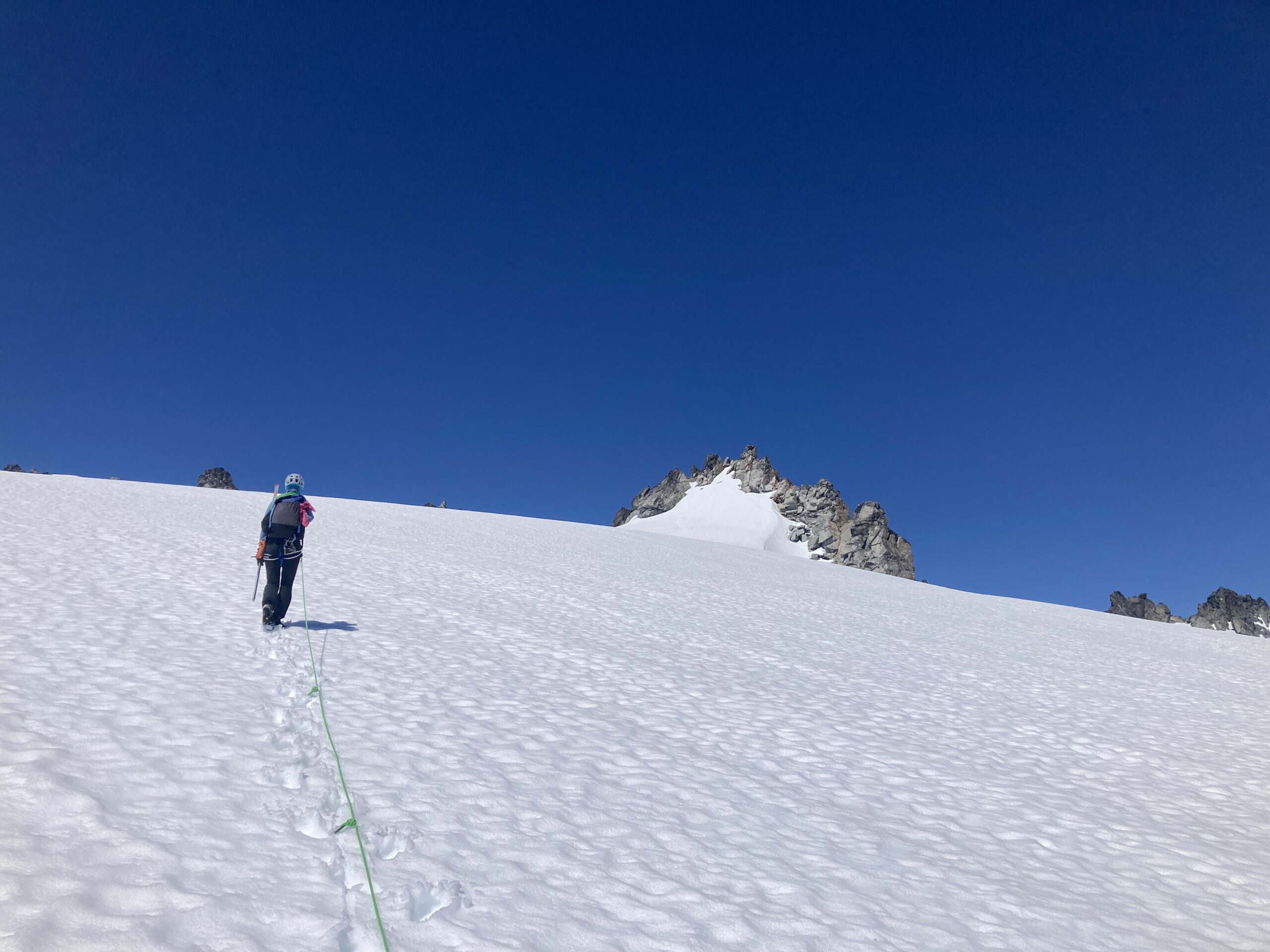
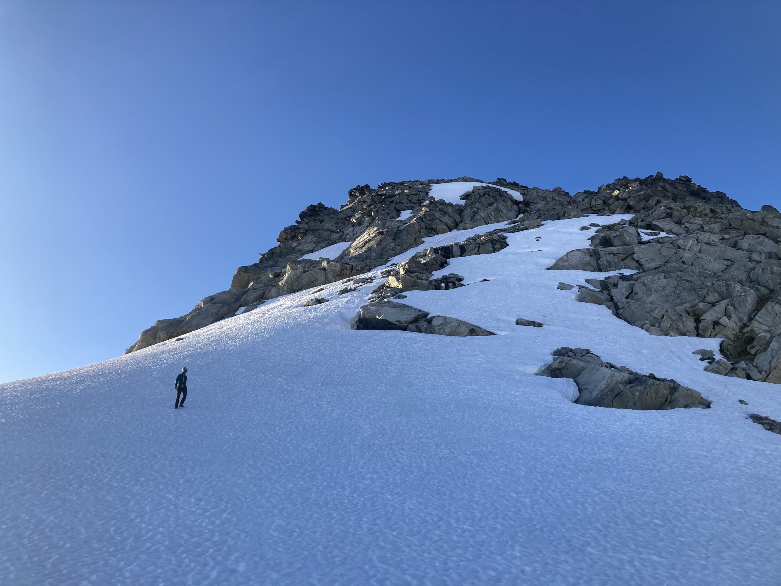
We woke up around 5:30, enjoyed our cold oatmeal and coffee, packed up and headed towards the Klawatti notch. We were following a pretty well defined bootpack that led us to an obvious spot where the notch you could be passed through. An easy scramble to the top once off the of glacier and then a short 4th class downclimb led us onto the McAllister Glacier and to the start of SW Buttress of Klawatti Peak.
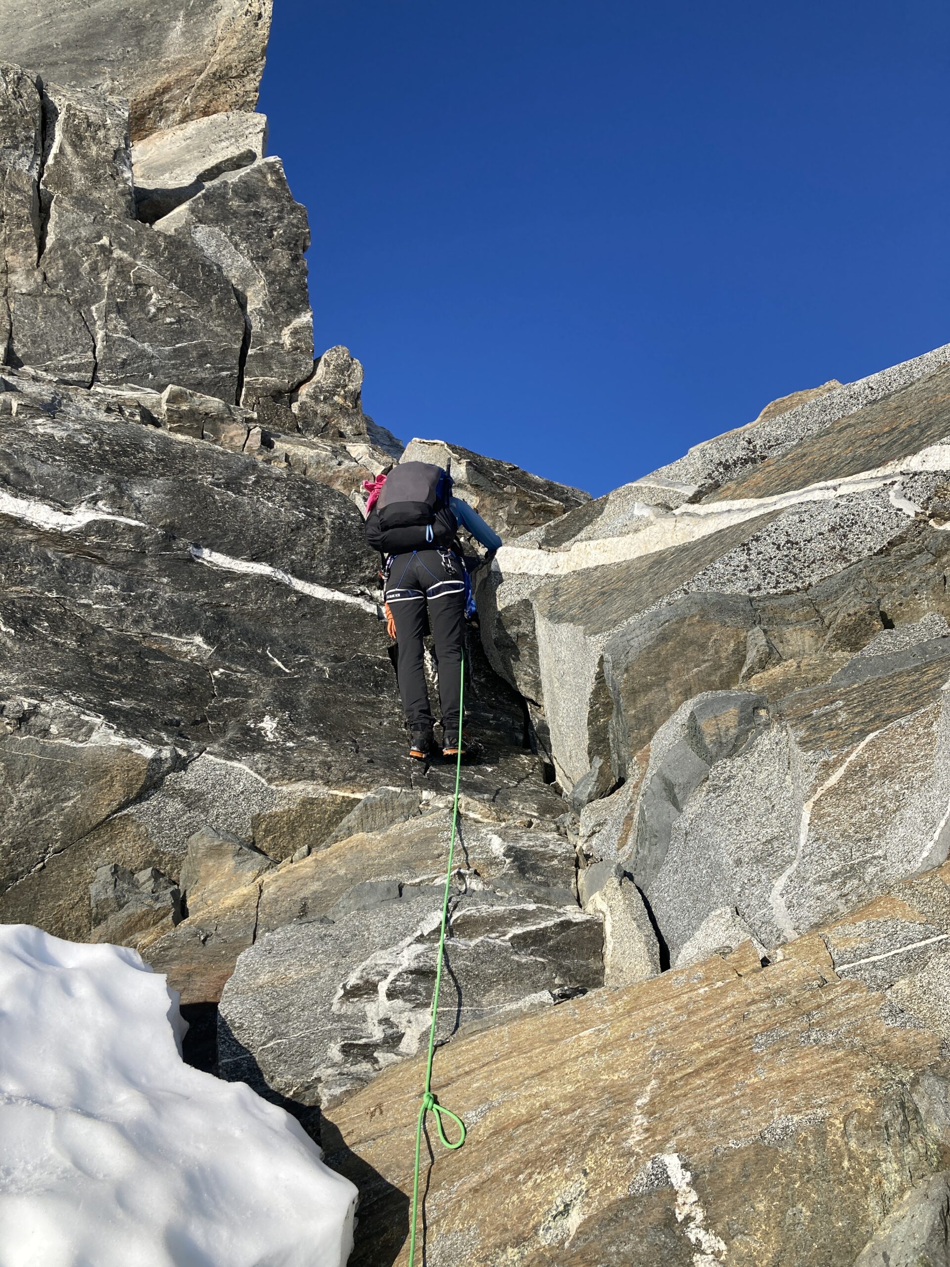
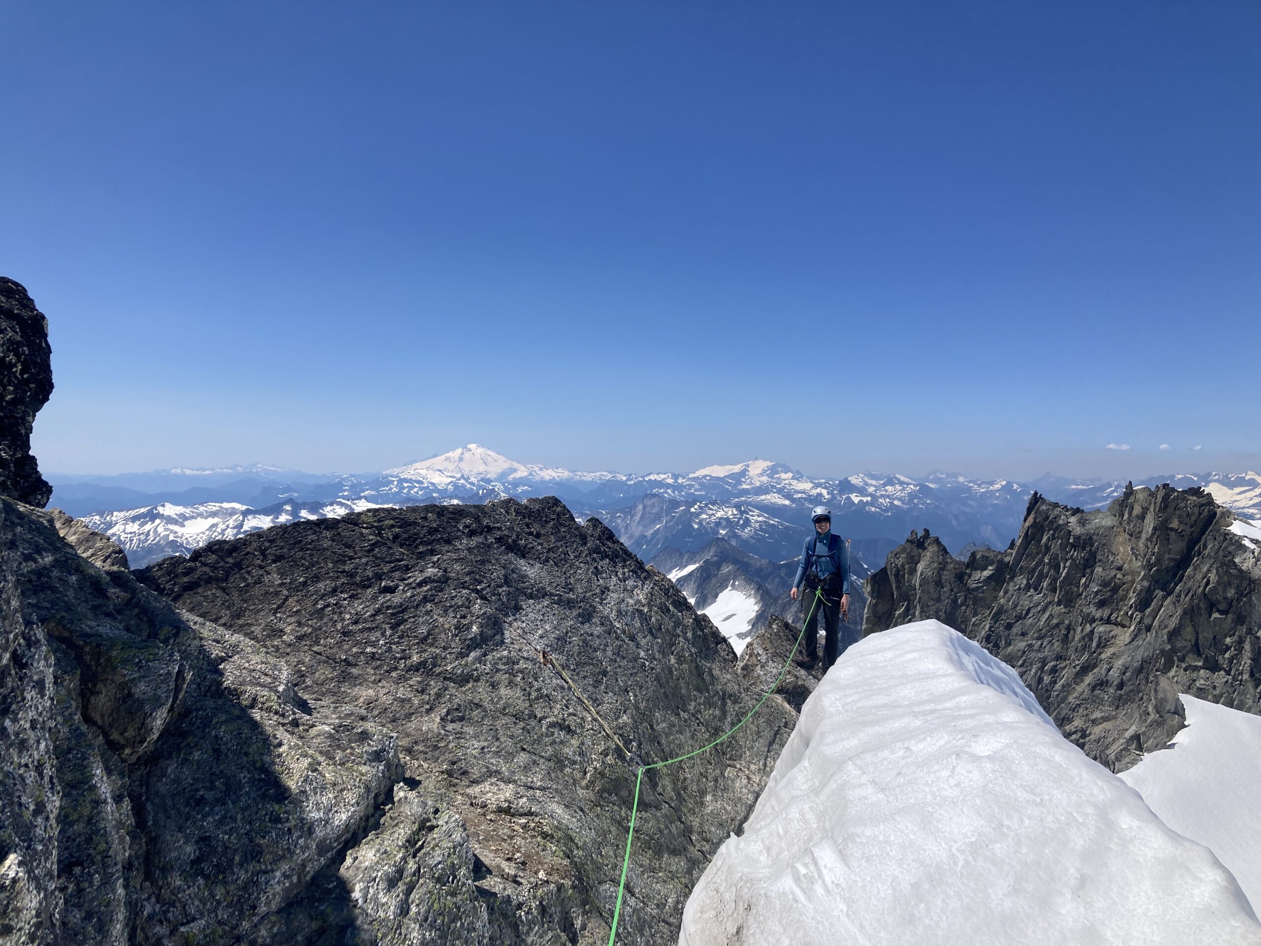
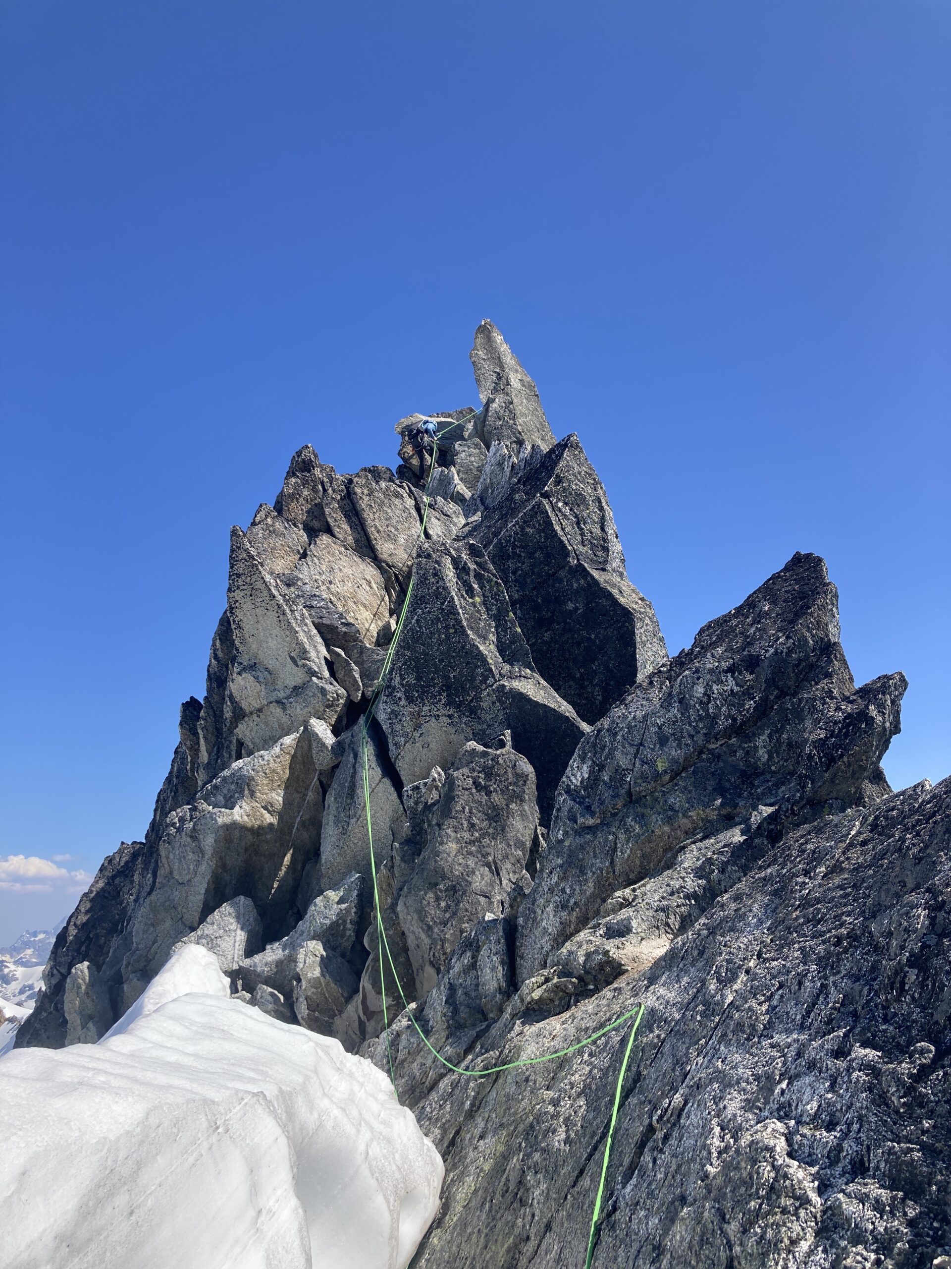
We dropped our gear at the nice bivy site at the base of this route. Luckily, the snow was all the way up to the rock which made for an easy transition off the snow. We roped up and led one low fifth class pitch up and left on the buttress proper to the second of two rap stations. The first rap station that was passed was two pitons and a nut, the second (the one we belayed at) was a few pieces of webbing/cordelette around a large boulder. Both seemed to be in OK condition. Then, we simul-climbed all the way to where the ridge eases out. It was fun to stay on the ridgeline as much as we could. We spent some time on top and enjoyed the views! Then, we scrambled all the way back to the rappel station we had belayed at and did one rappel back down with our 60 meter rope. We were glad to learn that it reached!
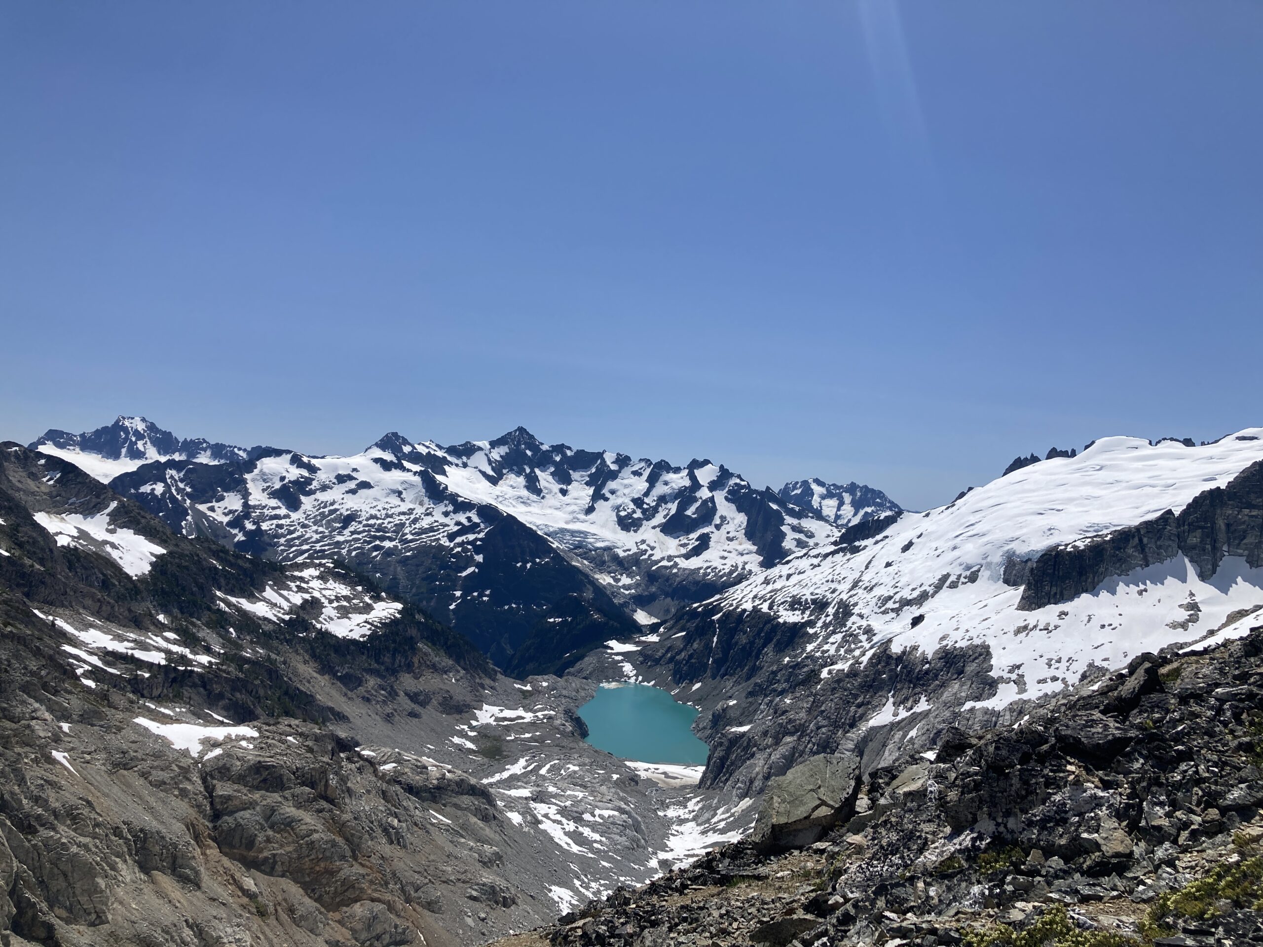
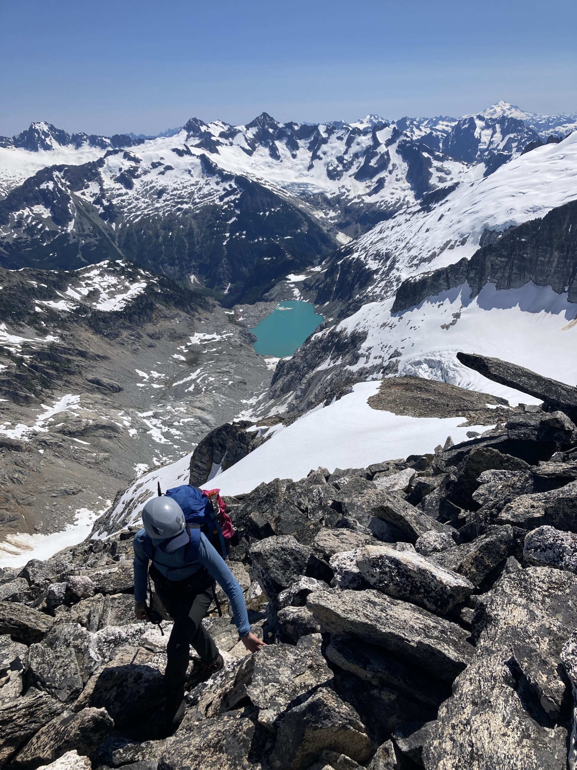
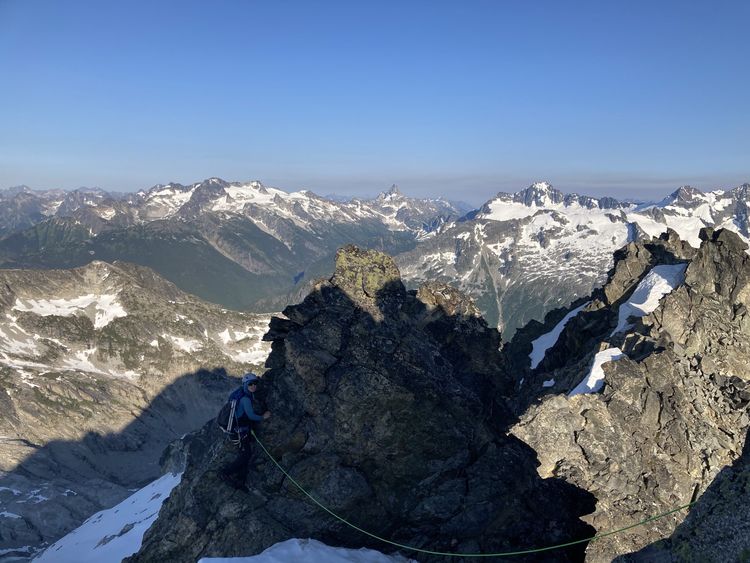
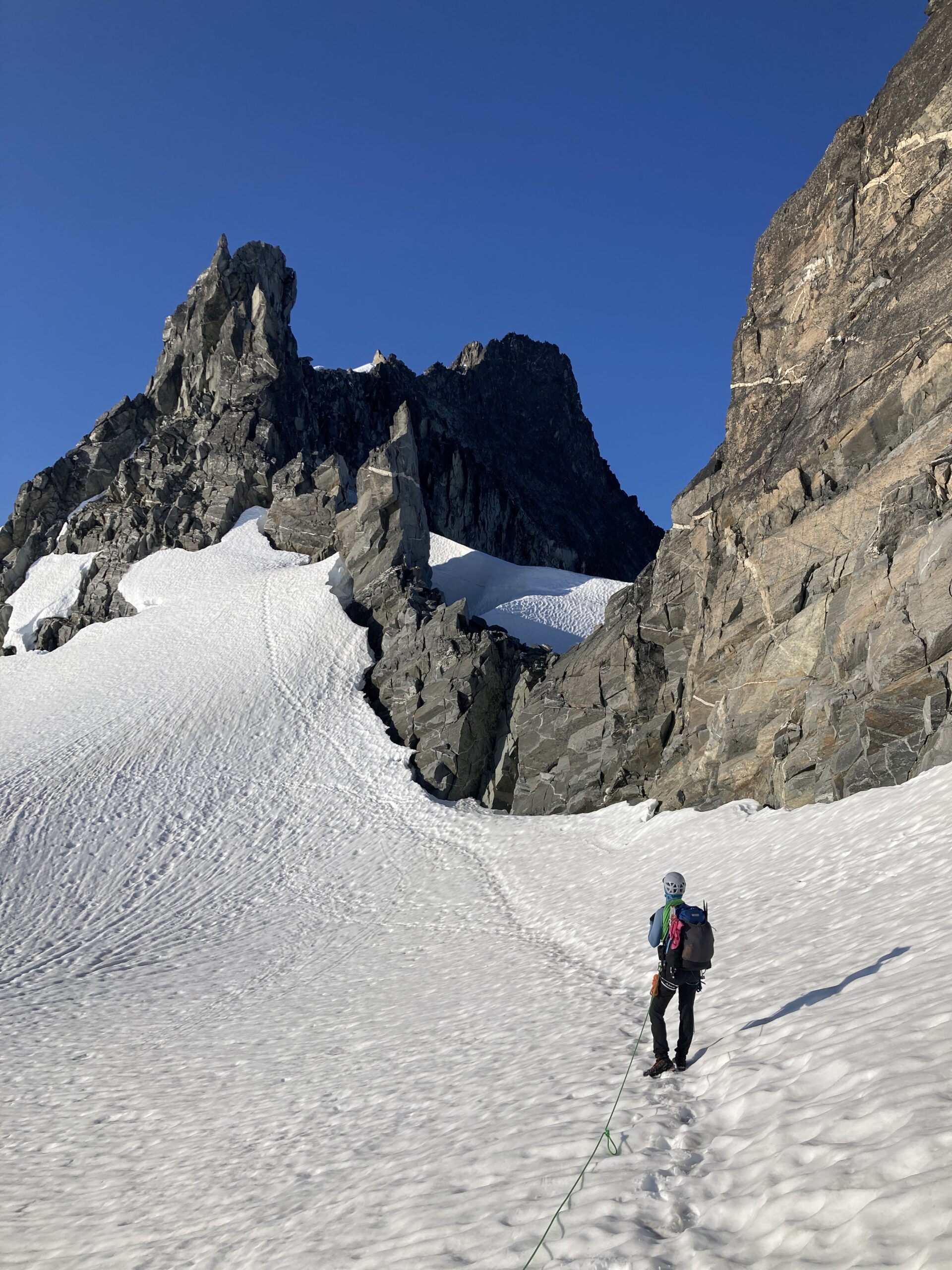
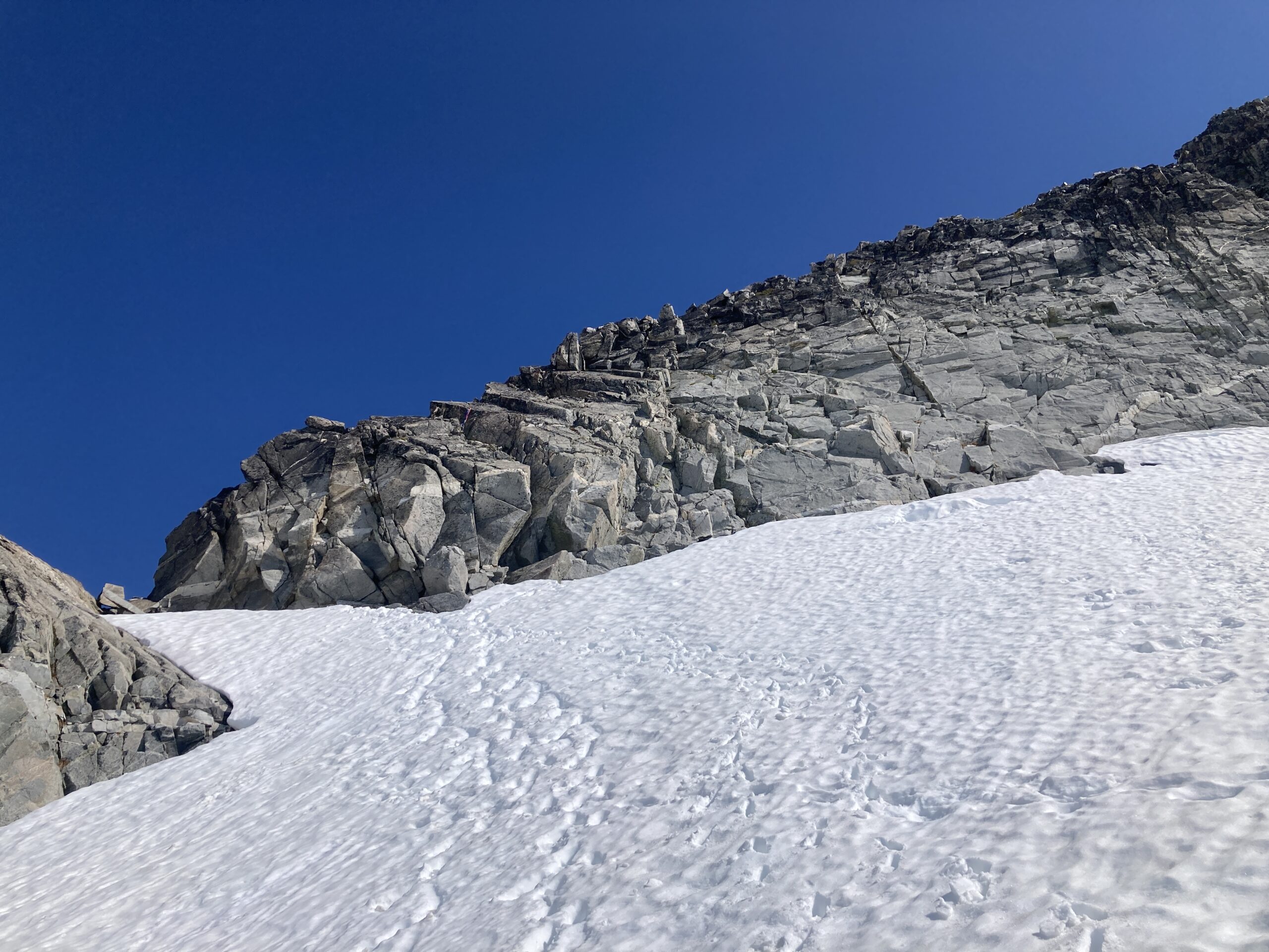
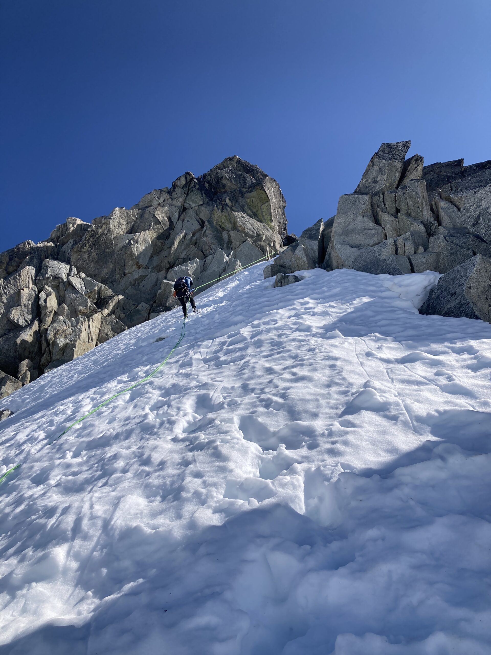
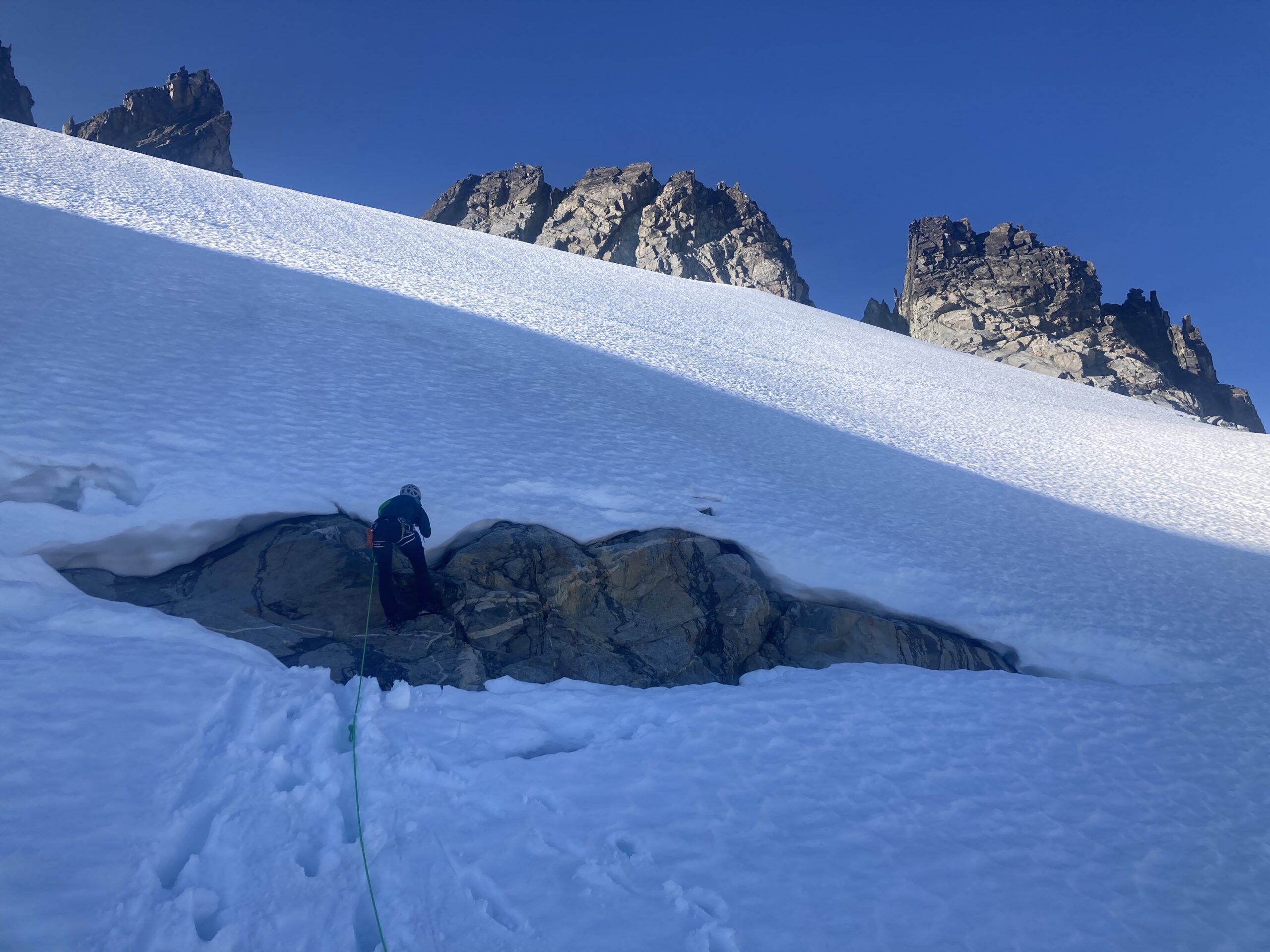
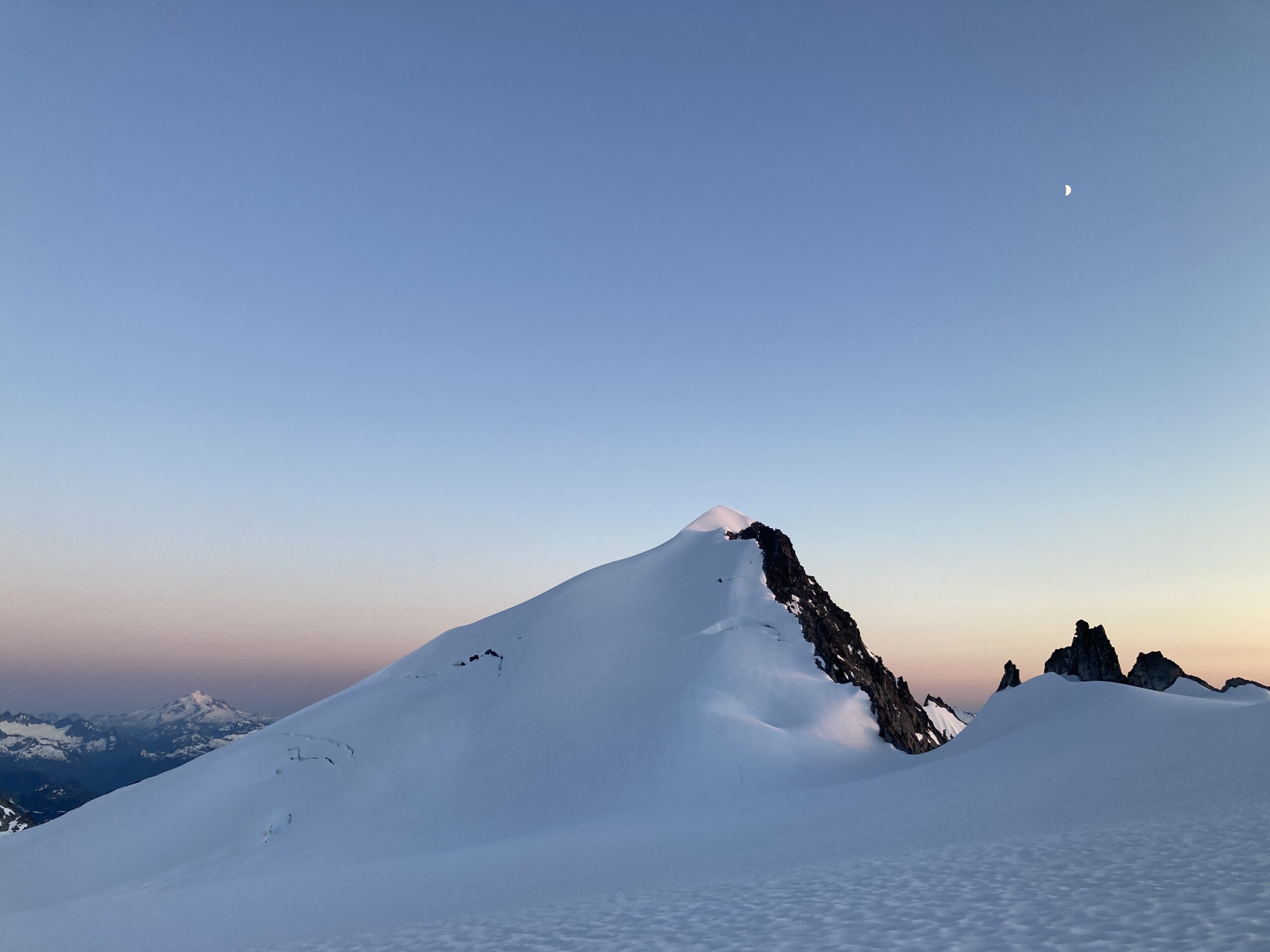
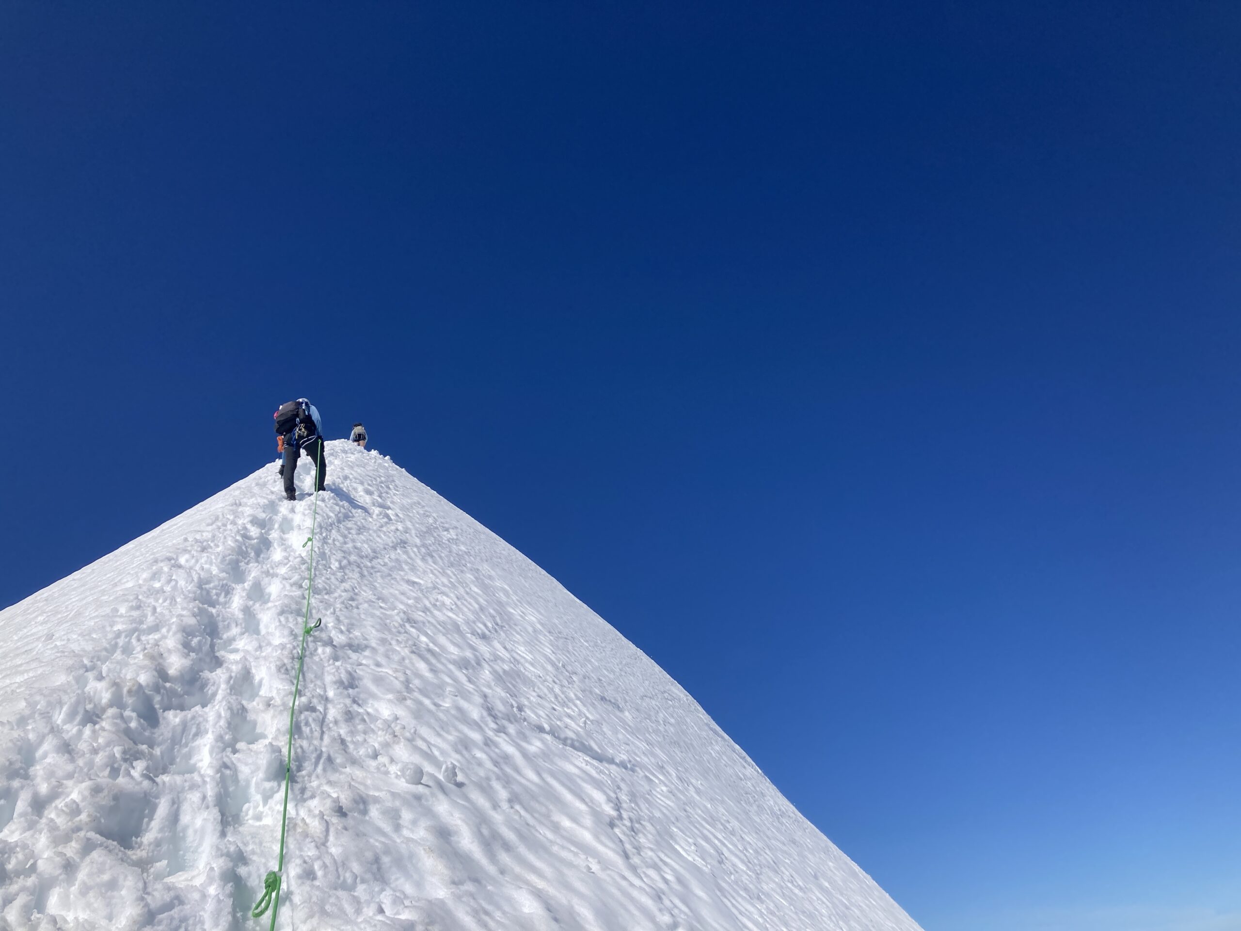
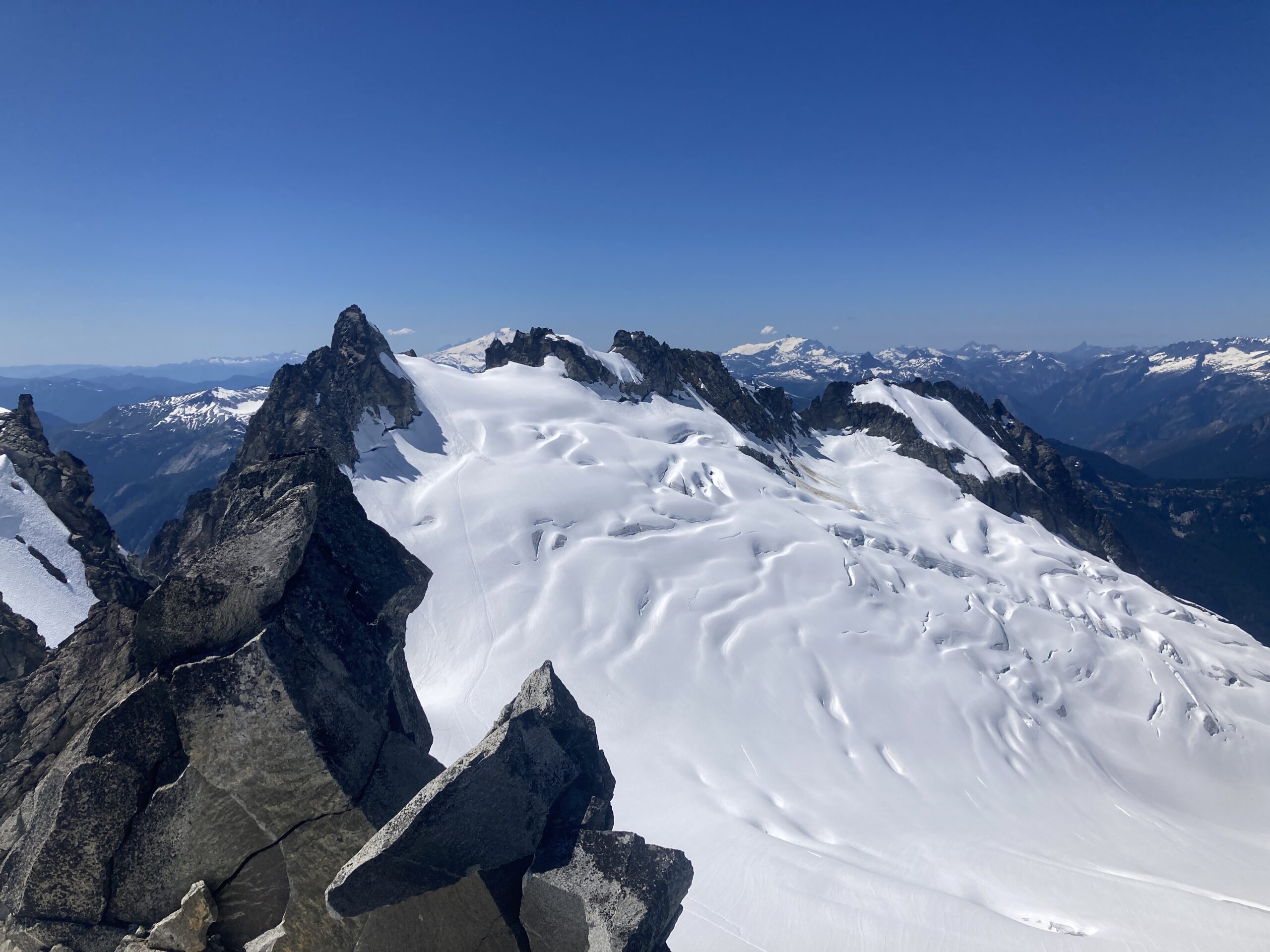
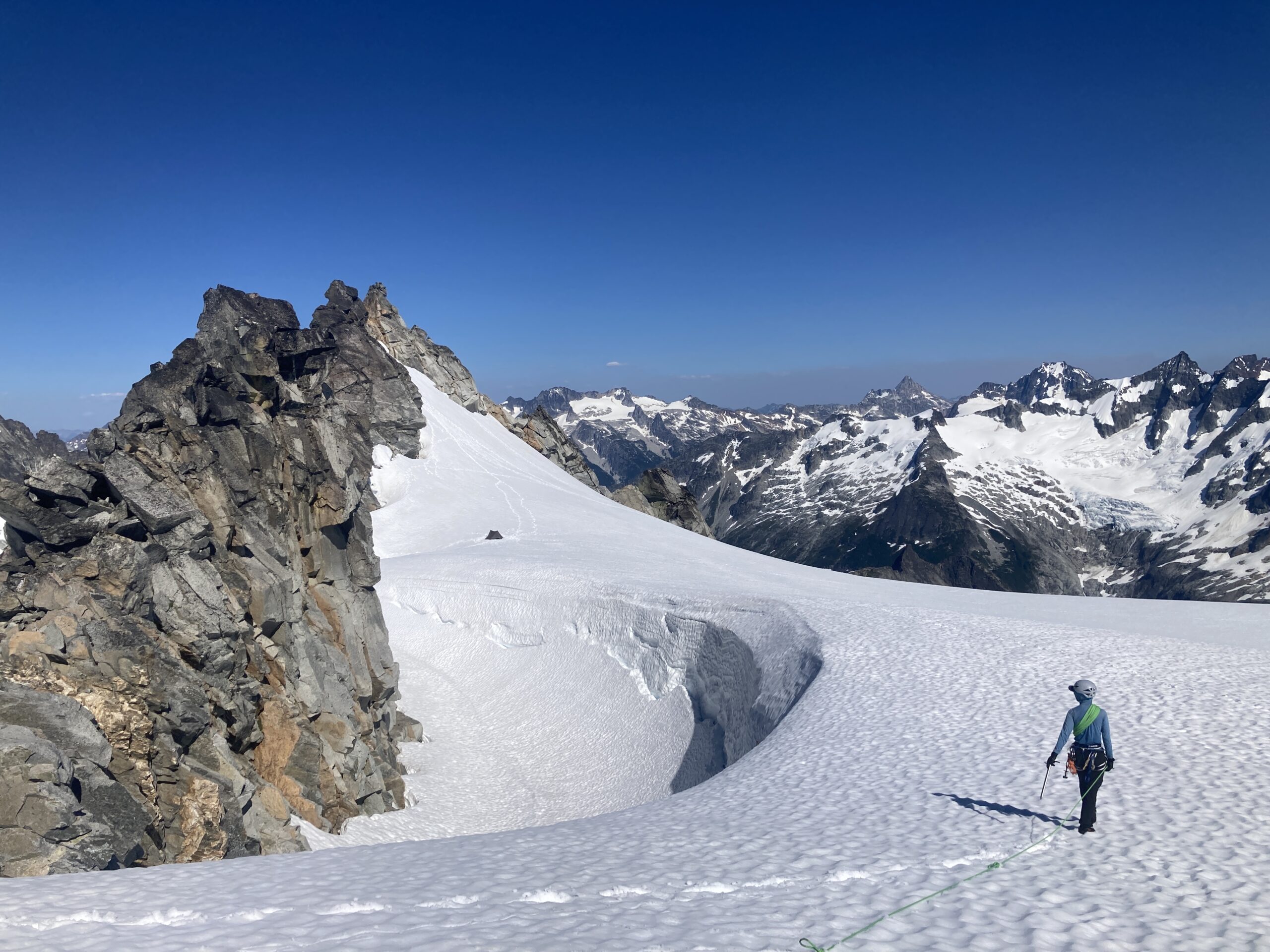
Then, we packed up our things and headed onto the McAllister Glacier N. of the Tepeh Towers. The glacier was starting to show a few cracks, but there were still snow bridges over most of the cracks that we saw forming. We climbed up the glacier to the notch just below the East Ridge of Dorado Needle and dropped our packs once again. Then, we headed up towards Dorado Needle in an existing bootpack that followed almost directly below the east ridge to the steep snow leading to the NW ridge route. We ran into a guided group here that were coming down who were the first people we had seen in a while. After they rappelled the steep snow, we headed up the ridge on the snow. The snow led all the way to a big boulder on the ridgeline notch that had some webbing/cordelette for a rappel anchor. We put our ice axes away here, and flaked the rope out to be on lead. I led the first pitch and stopped just after passing a piton. My partner led the next cheval pitch and climbed to the summit block all in the next pitch. We chilled on top, then made three somewhat awkward rappels back down the route. The last rappel down was just rappelling the steep snow we had climbed up to get to the ridge.We headed back down to our stuff, packed up and started searching for water….we then spent the next 1-2 hours looking for water, eventually finding it almost back at the start of the route up Klawatti. We drank our fill, filled to capacity and then headed back to camp up in the little basin below Tepeh Towers to the NE of Eldorado.
We had hot dinner that night! Mac & Cheese for the win. It was a great sunset and we were excited for Eldorado tomorrow!
Day 4 – Climb Eldorado and Tepeh Towers
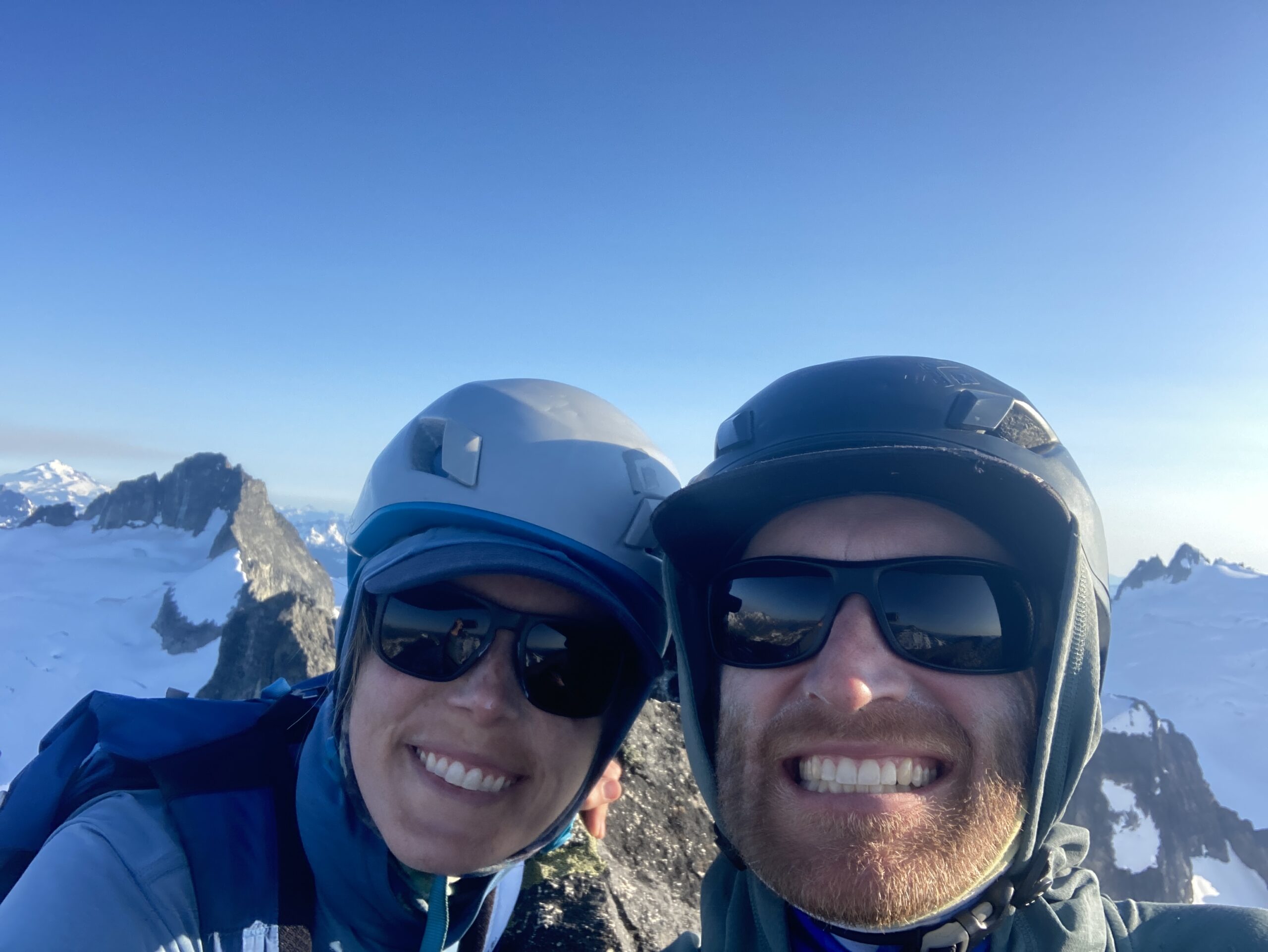
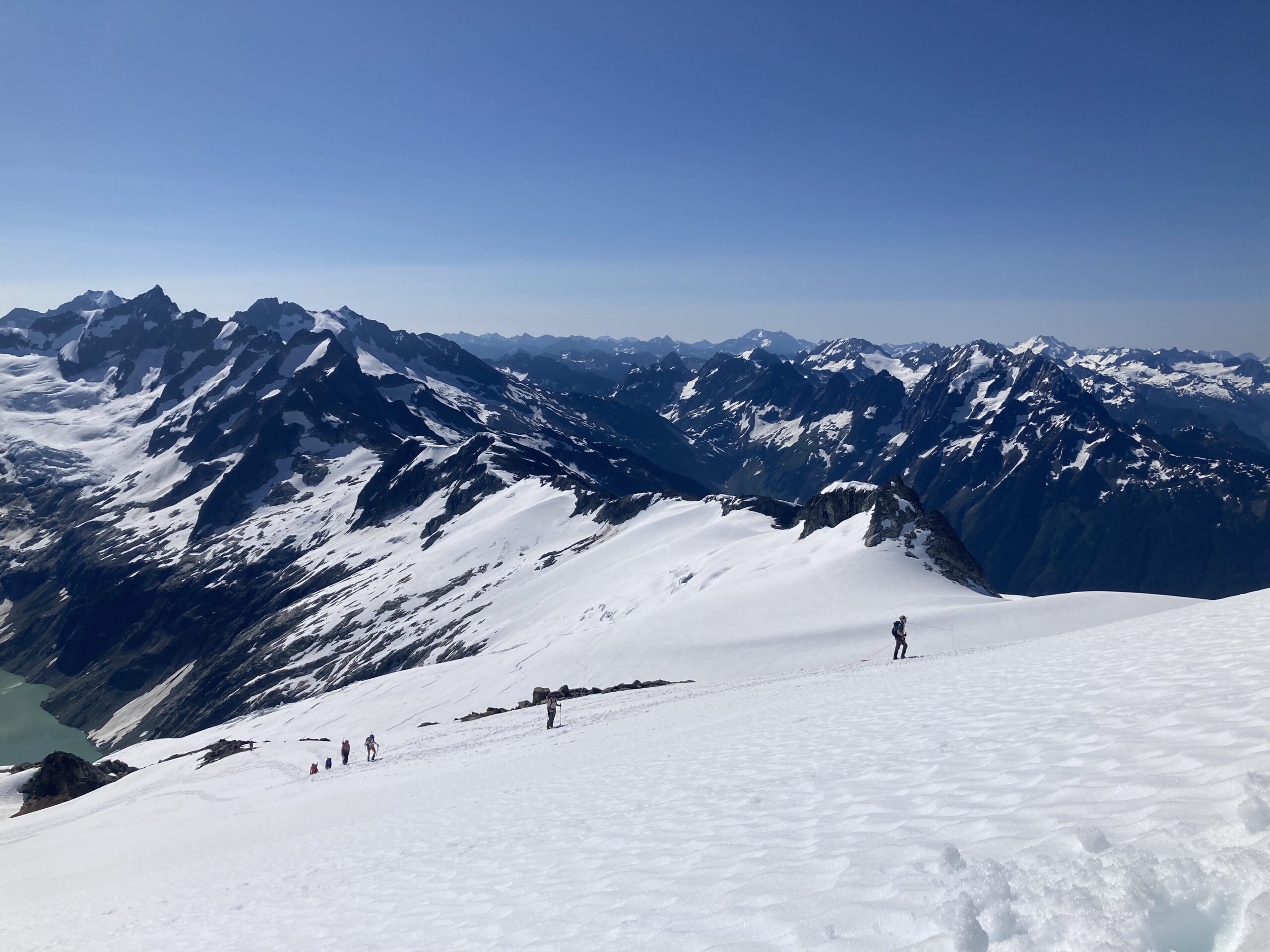
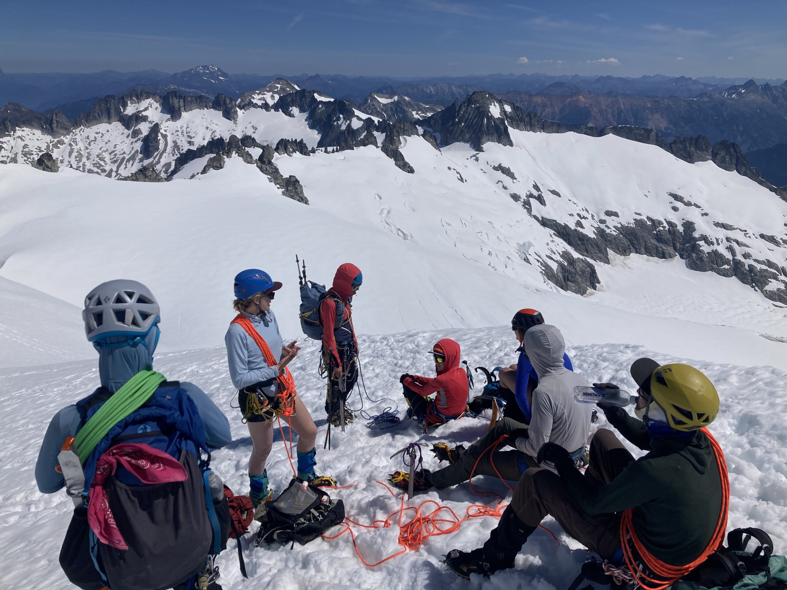
We woke up later in the morning. Our friends who had so graciously driven our car to the Eldorado Trailhead for us were planning on climbing Eldorado this day and we had wondered if we could time it just right so we could run into them and summit together. We figured it was a but of a long shot, but we woke up later than usual and had a leisurely morning. Then, we roped up right from camp and made our way directly South from camp to the east ridge of Eldorado. We crested the ridge and saw a few teams making there way up the ridge line. As they got closer we started wondering if those could be our friends. Turns out it was!! Very exciting to see a group of people we knew close to the summit of Eldorado.
We slotted in behind them and made out way up to a flat spot just before the summit snow ridge. Then, one rope team at a time we all made our way up to the summit exchanging high fives at the top. Super fun to be on a classic Cascade summit with our community.
We made our way down and headed over to Eldorado camp to see if we could find some water. We said goodbye to our friends as they headed back across the Eldorado Glacier and to thier cars. We filled up our water and made our way back to our camp below the Tepeh Towers. We had a few more hours of daylight so we climbed a few of the small high points around our camp just for fun, made dinner and hung out taking in the awesome day we just had up in the alpine.
Day 5 – Torado Needle and Hike Out
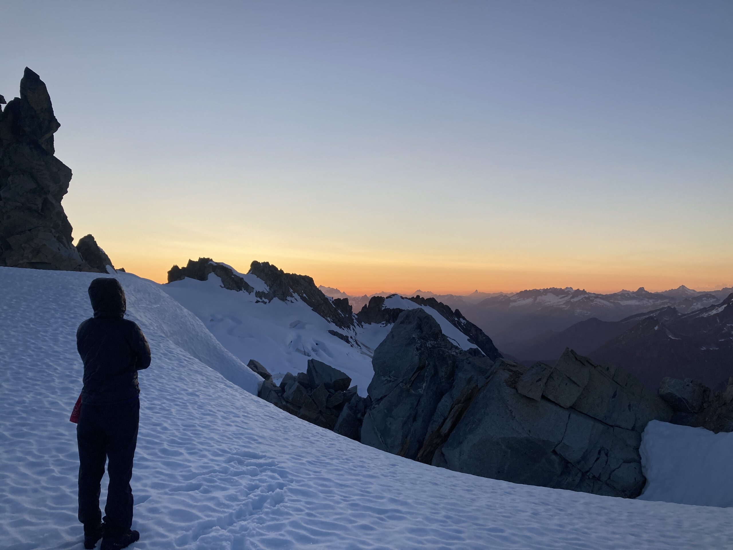
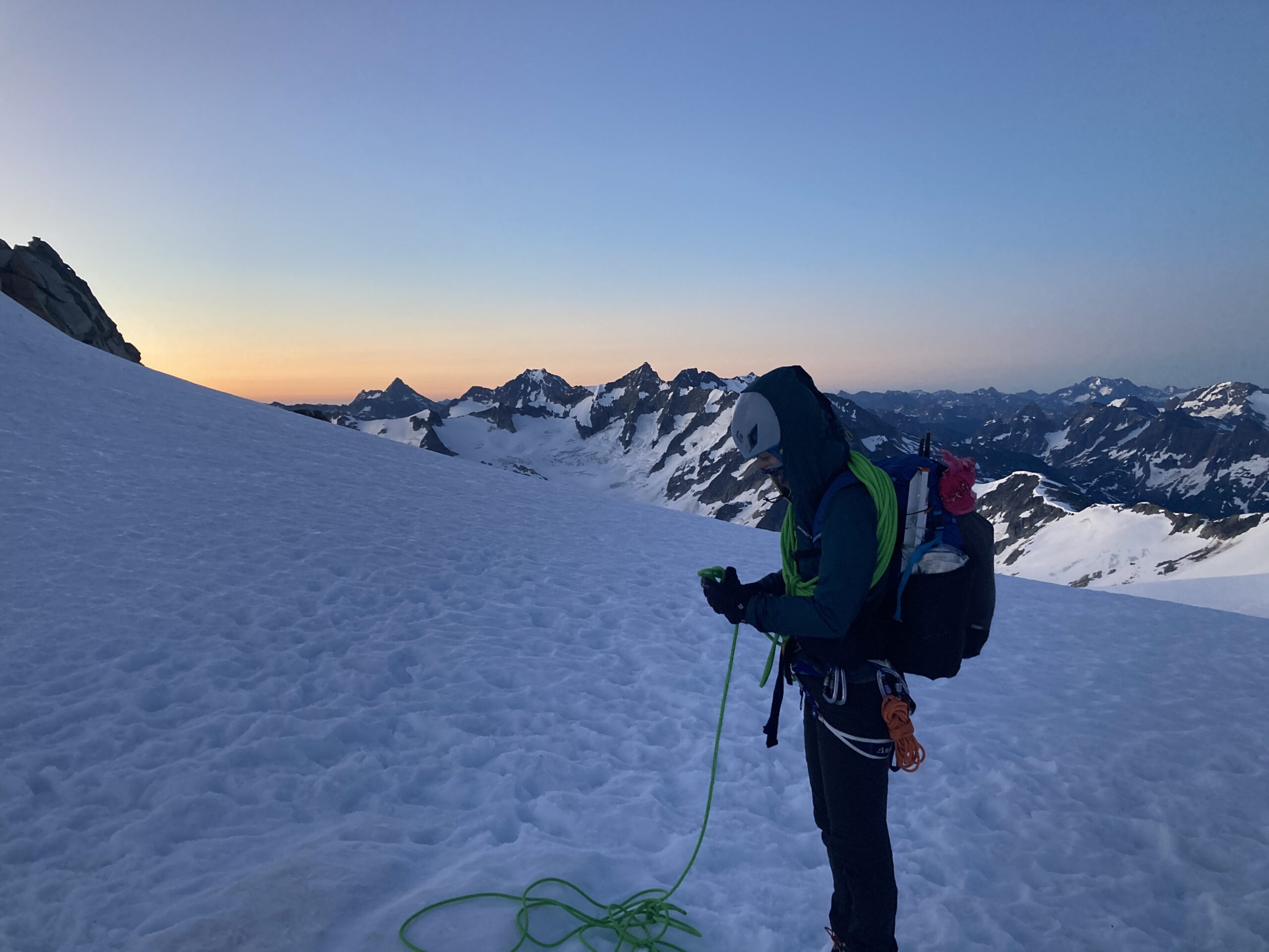
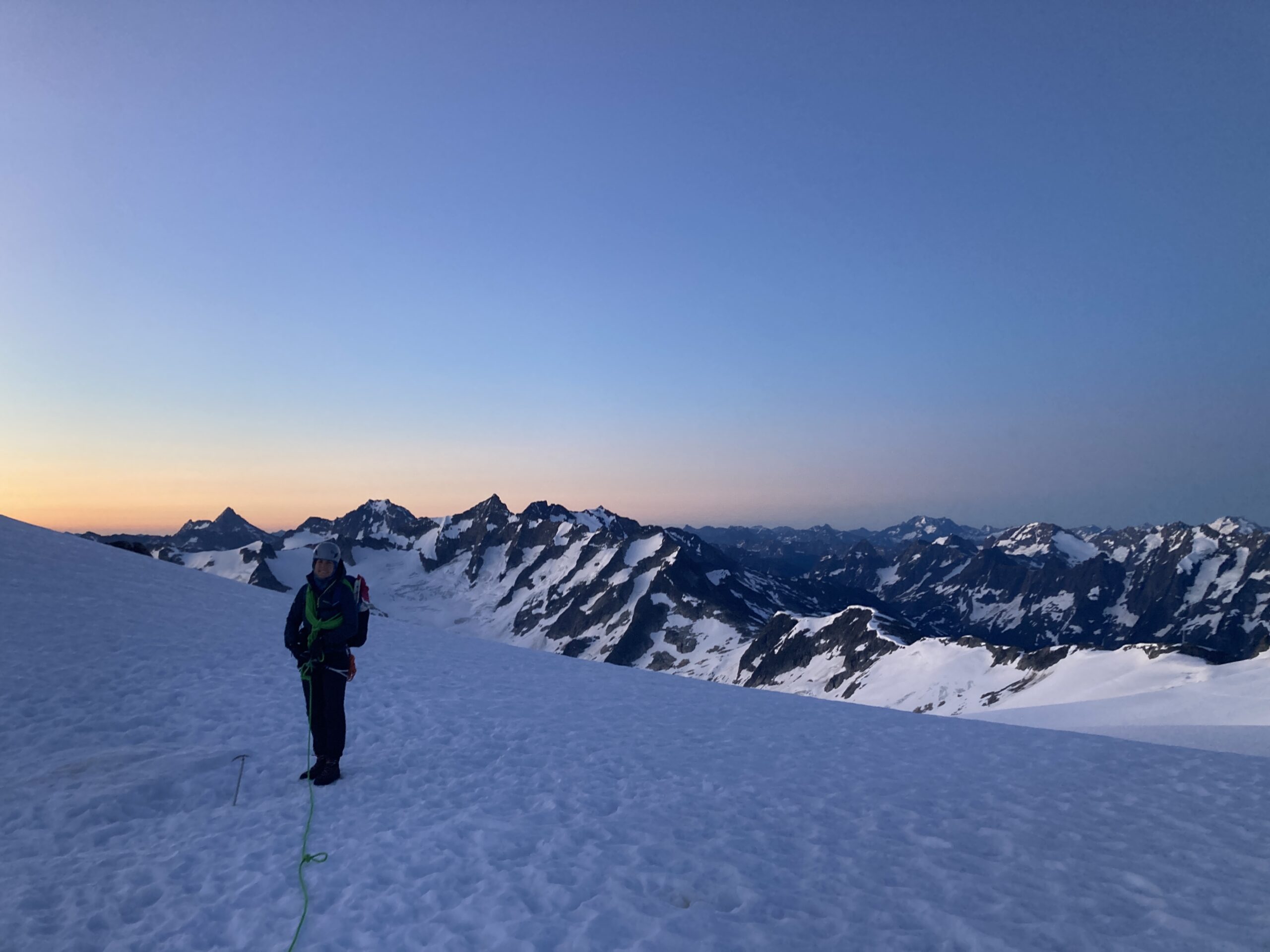
We went to bed early and woke up at 3:30am to our tent flapping in some high winds. It was loud and we could not sleep, so we decided to just pack up and start our journey to Eldorado Trailhead. The sunrise was stunning and even though we were tired it was amazing to finish the trip with a sunrise start in the alpine. We passed by Eldorado Camp and decided to climb the Torado Needle on the way out. This is the almost egg plant looking summit just before you drop off of the Eldorado Glacier. It was firm snow, to some soft dirt to a chill grassy rock scramble. What an awesome way to end the trip – we could look back at all the peaks we just climbed in the morning light and then look across at Johannesburg.
We scrambled down back to our packs and started the journey down to Eldorado Trailhead without much trouble. We opted to get our feet wet on the crossing to the parking lot as it did not matter much to us being at the end. Turns out our friends had stashed some beers in our car for us – how nice of them. We drove out Cascade River road and went to Mondo’s for lunch and then made our way back home to the Methow Valley. What an awesome trip in the Cascades!

Resources & Links
Here is a link to the little trip information document that we put together for our trip. It is a mashup a few other folks trip reports and was a useful resource while we were out there.