Day Trip
Reynolds Peak
Trip Report
Aug 2, 2025 08/02/2025
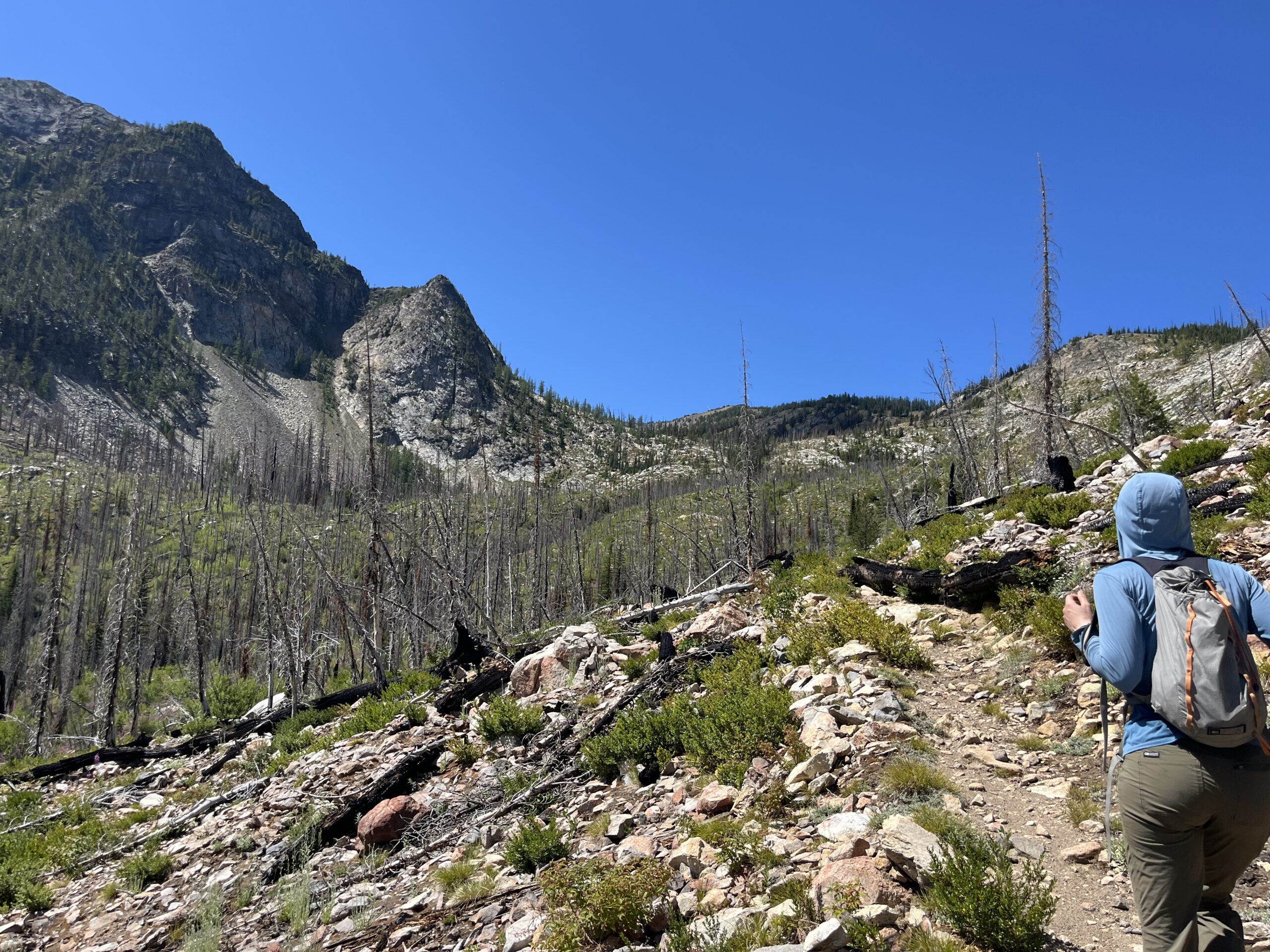
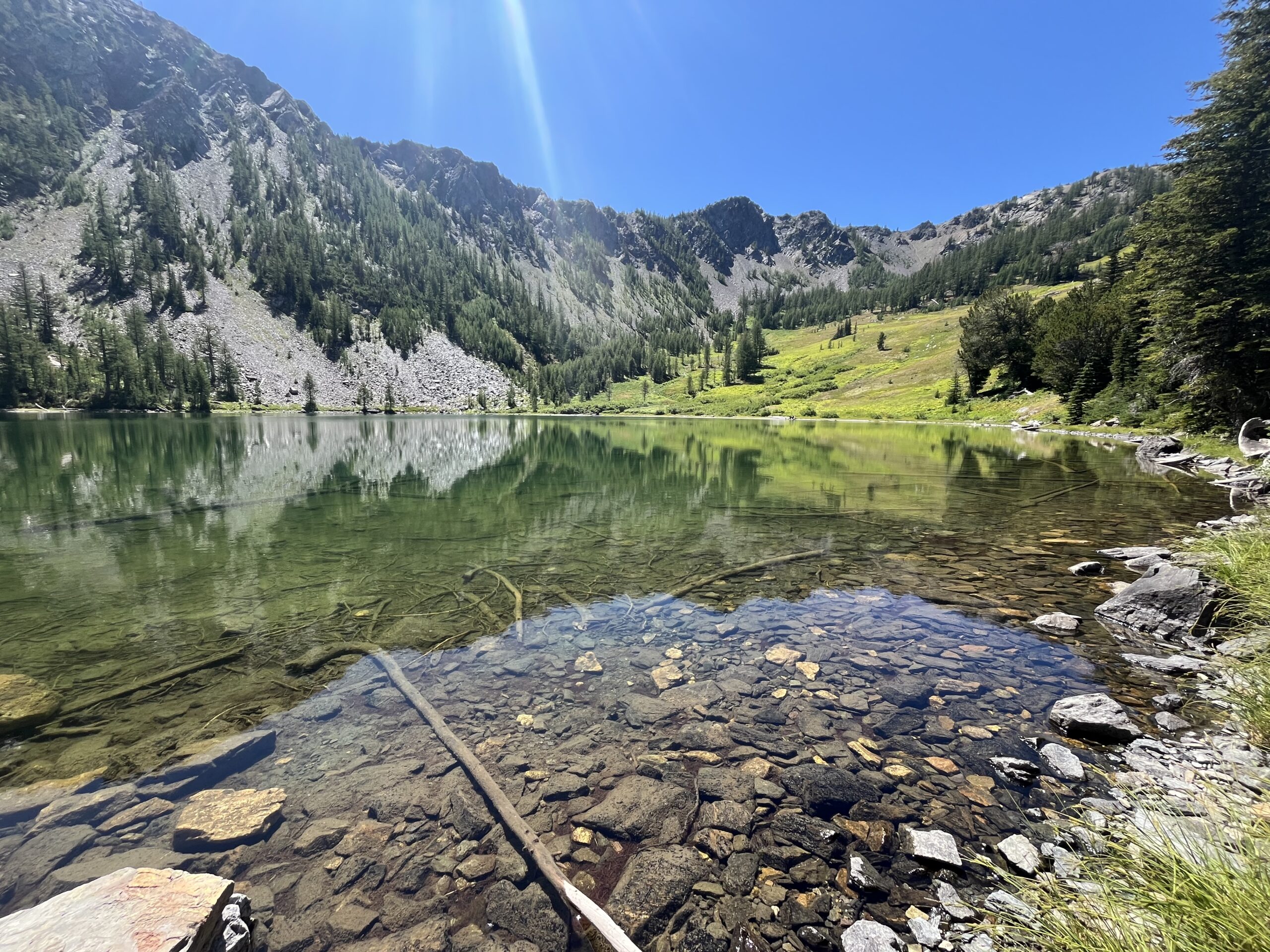
We left the Williams Creek Trailhead around 7:30 a.m. There was only one other car and a horse trailer in the parking lot when we started. We started up the switchbacks on a great trail, as we had read that the trail was recently cleared by the Methow Valley Trails Collaborative (thank you for your work!). A good chunk of this area had been burned by the 2018 Crescent Mountain Fire, so the walking was pretty exposed with some downed trees across the trail in sections up to Williams Lake. Partway up we ran into a group of equestrian folks who were on their way down because the downed trees were challenging to get their horses through. Once we got to the lake we passed a few small campsites near the outlet of the lake and took a quick break near the lakeshore.
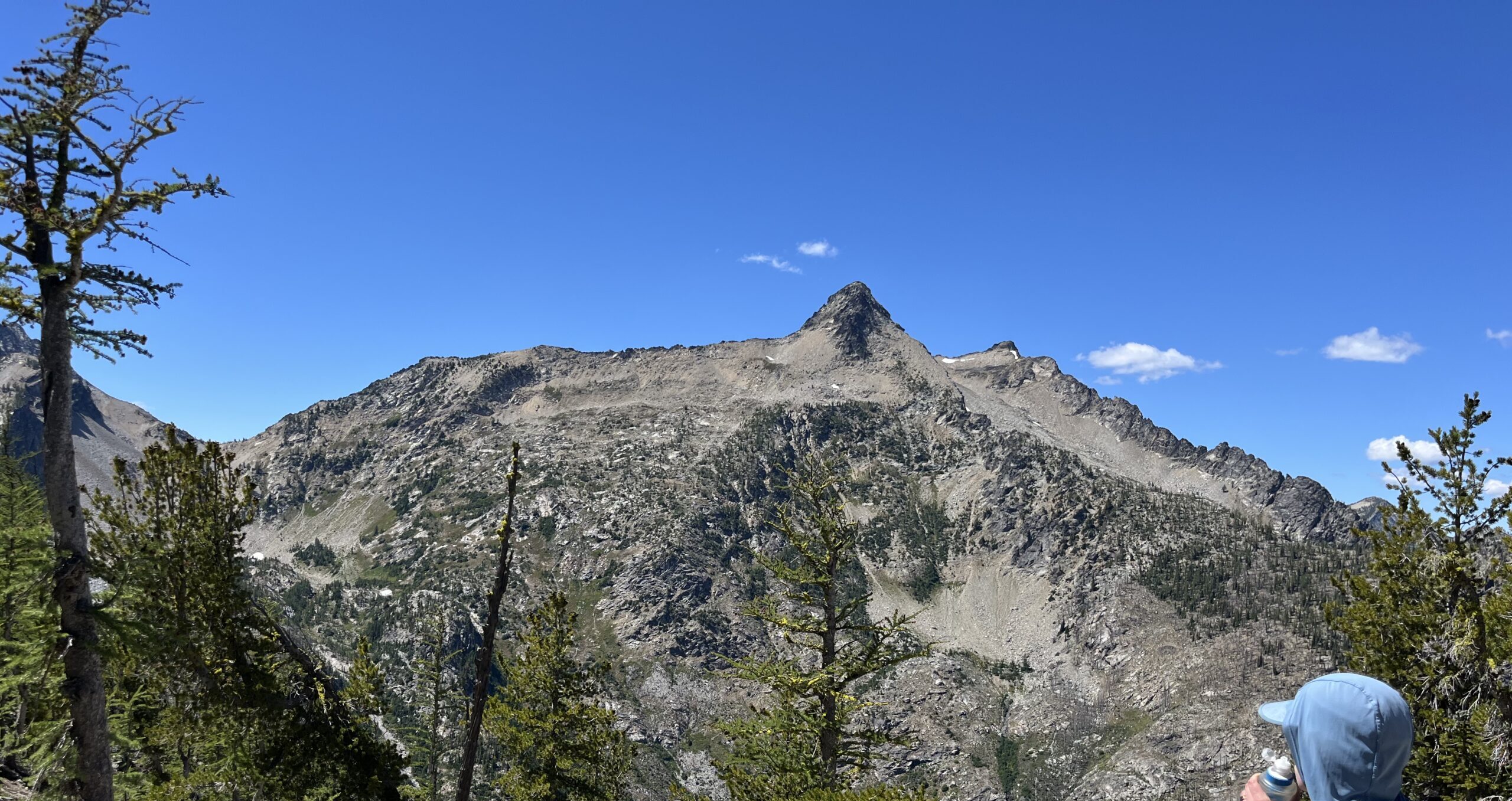
Then, we headed generally southwest from the lake following faint drainages trying to follow what looked to be the least steep terrain as we gained the ridgeline coming off of Williams Butte. Once we gained the ridge line we dropped off the other side on a sandy slope with interspersed trees to the flat open sandy saddle on Williams Butte’s south west ridge line. From here, we got a good view of Reynolds Peak and could try and interpret a route that would take us to the top.
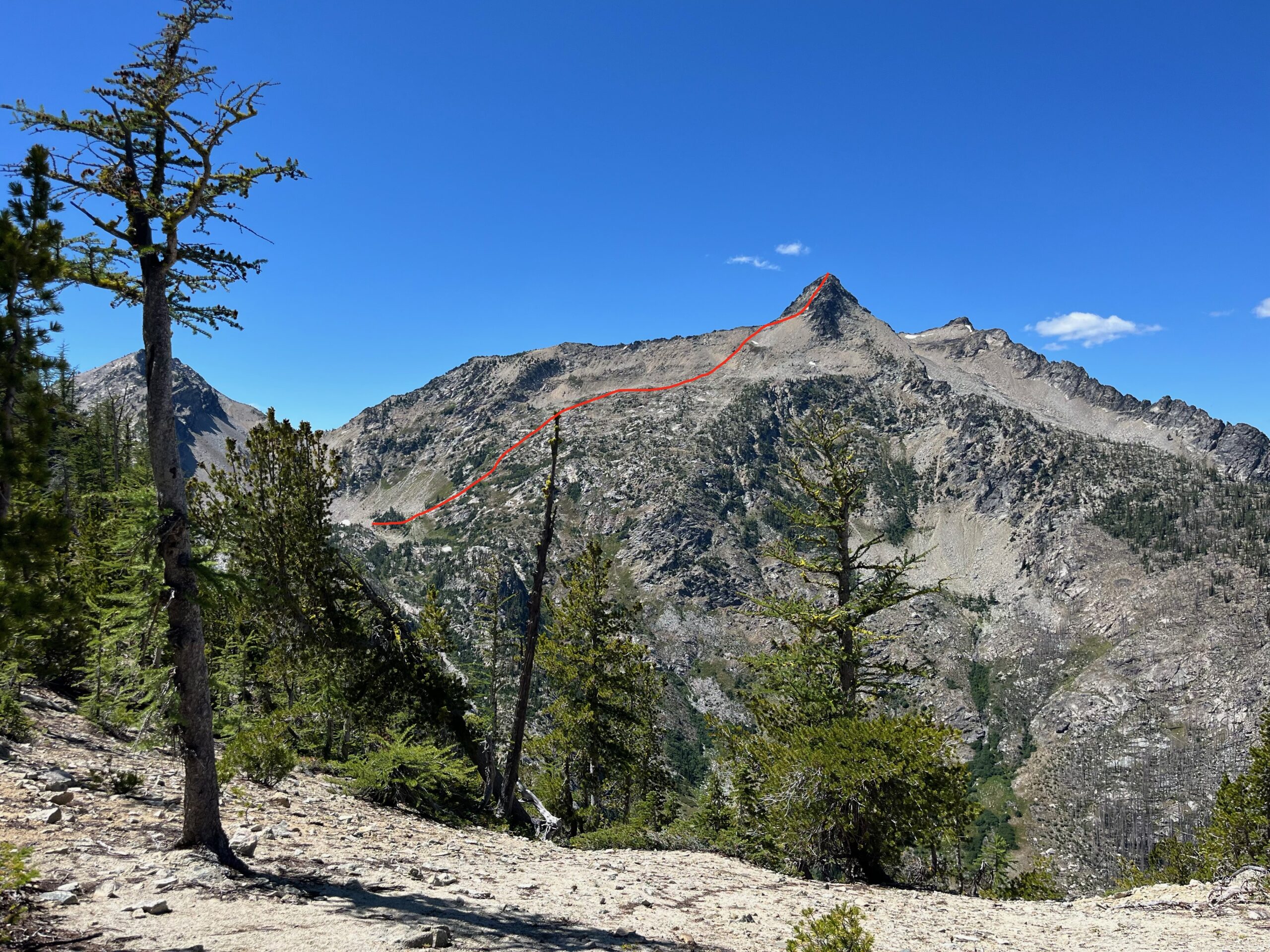
From the sandy saddle we followed the ridge line, mostly on it directly and sometimes on the south side up and over Point 7225, and then down to the saddle at 6,800′ just north of Tony Basin. We considered dropping further south off the ridge when we hit a steeper part, but the scrambling wasn’t too bad. From the saddle, we continued following the ridge line to just above 7,000′ where there was a notch in the ridge with a gully that was some steep sand, talus and scree that we could use to drop into the basin below the Camel’s Hump and Reynolds Peak. We took a break here and looked up at the southern slope of Reynolds and discussed our route.
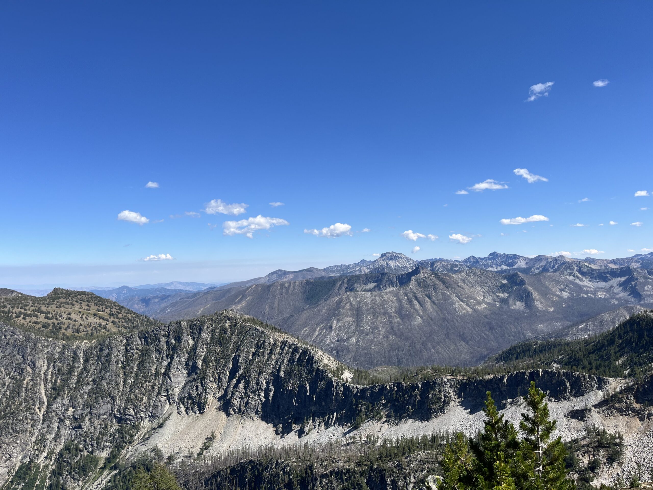
We eventually just started heading up hill (there were many ways to go) gaining the south ridge of Reynolds around 8,100′. From here, we could see the Class 2 gully on the south east face of Reynolds Peak and chose the path of least resistance up to the summit making for some fun scrambling to the summit. On the summit we enjoyed the views towards North Cascades National Park and Lake Chelan. While we were we could see small smoke plume forming over in the National Park followed by a fire helicopter passing nearby us from the Twisp River drainage heading towards the smoke we could see. We hoped that fire would get put out fast! We reversed our route back down to the basin, up the gully and along the ridge line all the way to the south east ridge of Williams Butte.
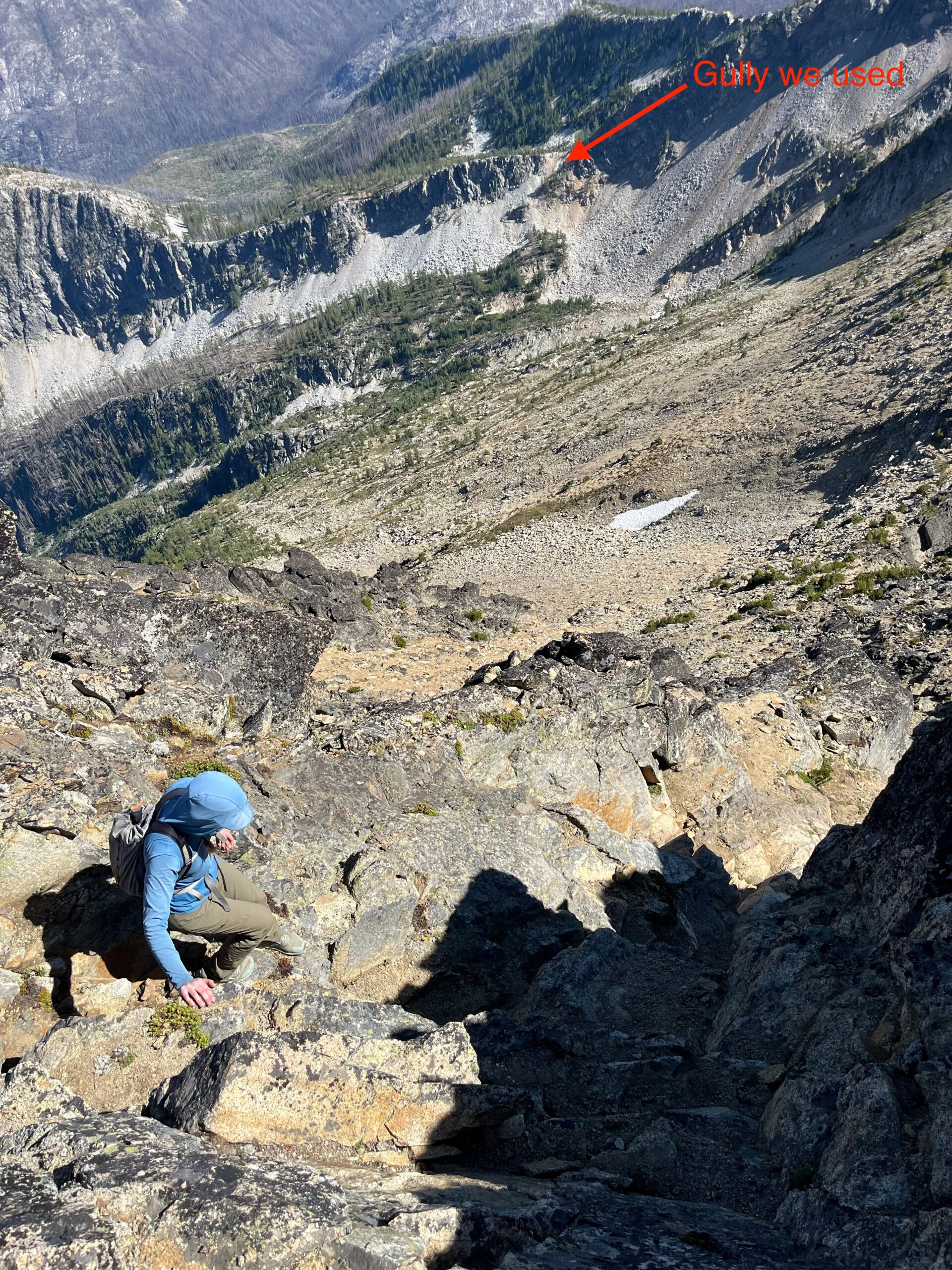
From here, we found the trail we missed on the way up which was intermittent all the way down to Williams Lake. From here, we enjoyed the nice trail back to the trailhead. The whole day took us around 11 hours and we even had time to make it to a dinner party later on that evening!
Resources & Links
Photo Gallery