Continental Divide Trail
↓
Nov 1, 2021
Quick Links
Map
Trail Overview
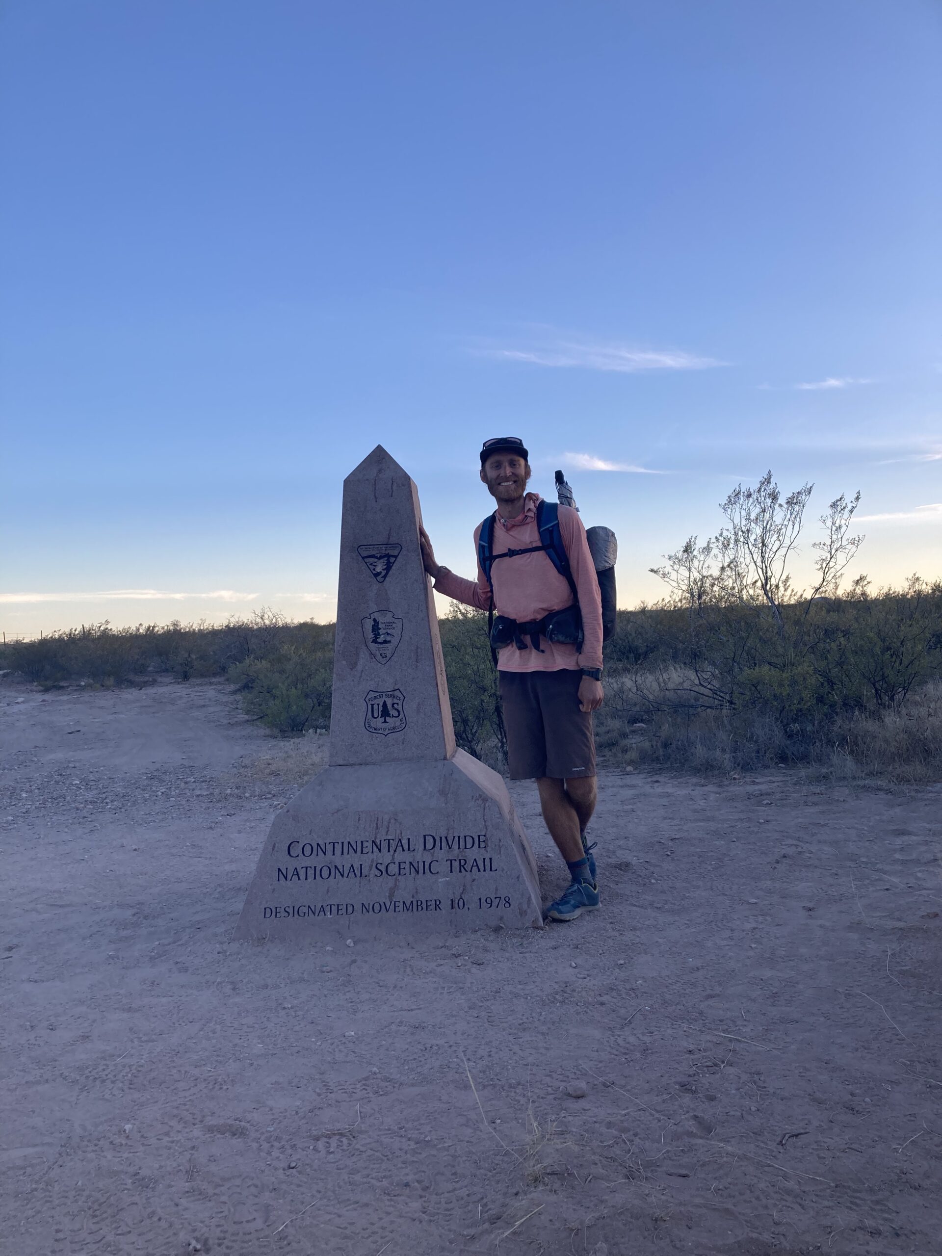
The Continental Divide Trail (or CDT) is roughly 2,600 to 3,000 miles in length, depending on what route you take and follows the Rocky Mountains from Mexico to Canada through the western United States. The route passes through a wide variety of landscapes — taking hikers through high alpine basins, remote desert terrain, dense forests, open grasslands, and rugged mountain wilderness across five states. This long-distance trail offers a mixture of solitude, navigation challenges, dramatic scenery, and unpredictable conditions. Hiking the Continental Divide Trail provides a unique opportunity to experience some of the most remote and wild landscapes in the United States entirely on foot.
There are multiple options for hikers to choose thier own way and this is part of the spirit of the trail. The CDT can seem like no-one is hiking the “same” trail, but part of the joy of this area of the country is that there are so many good things to see that you just might not be able to see it all!
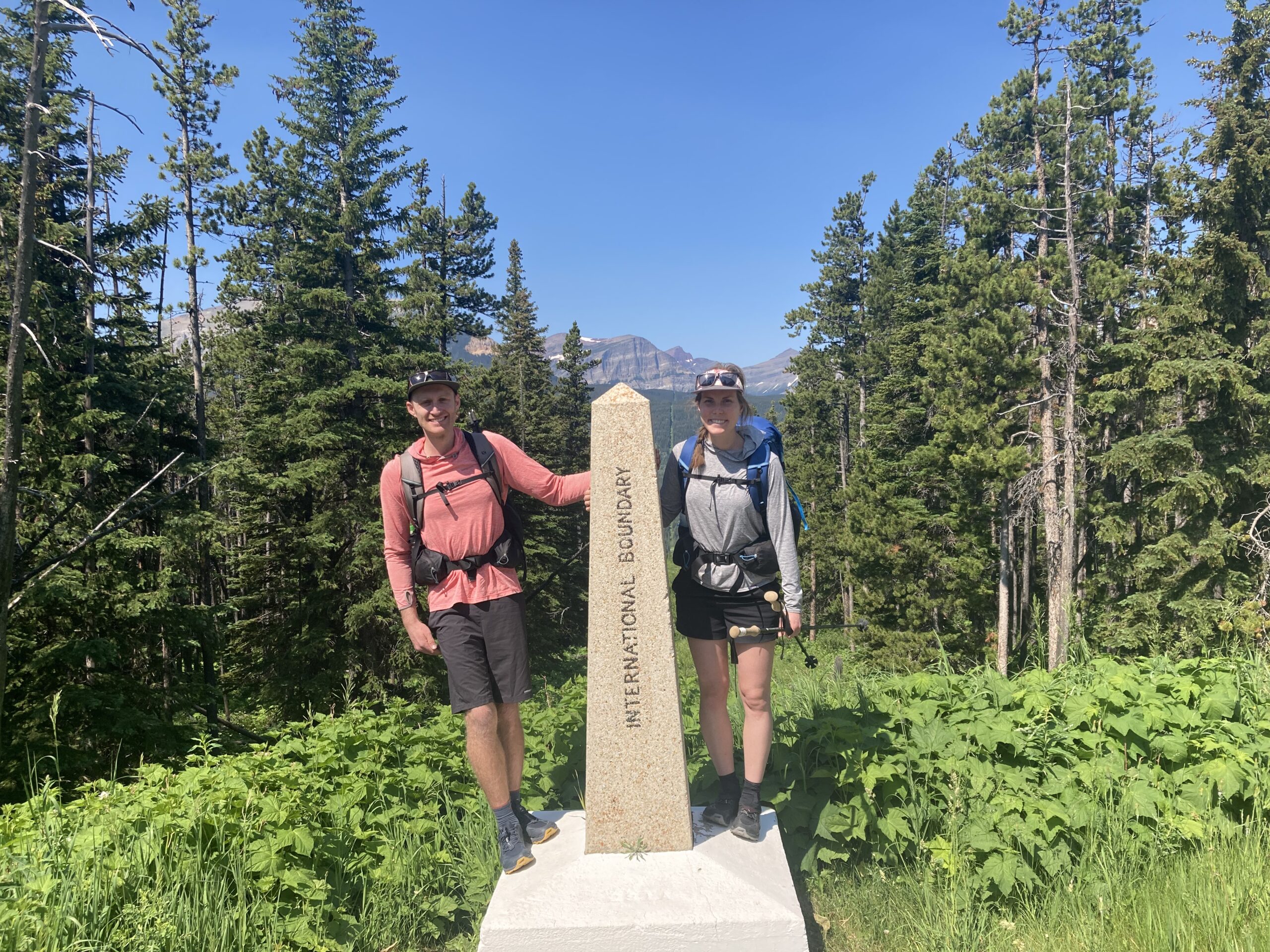
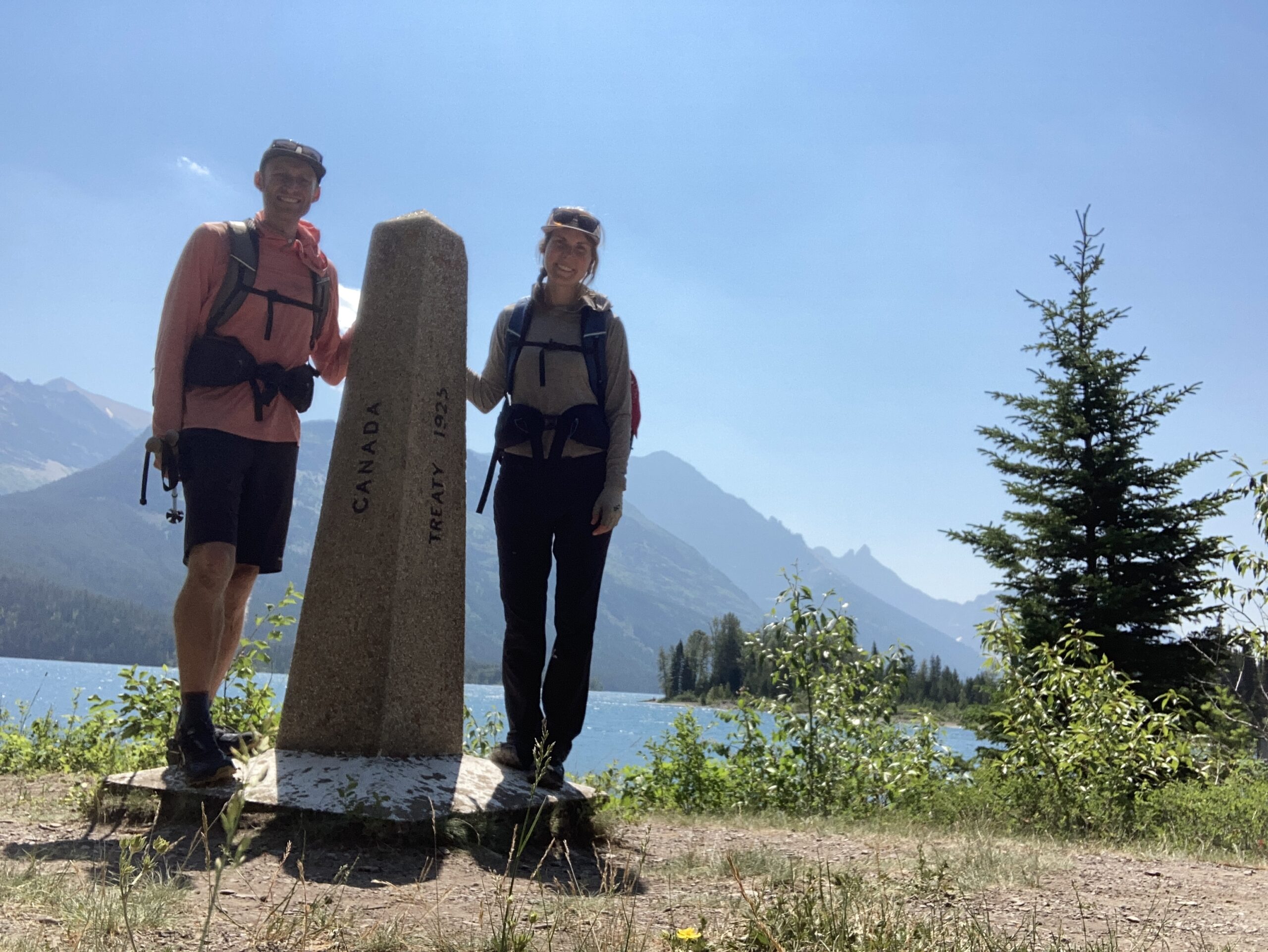
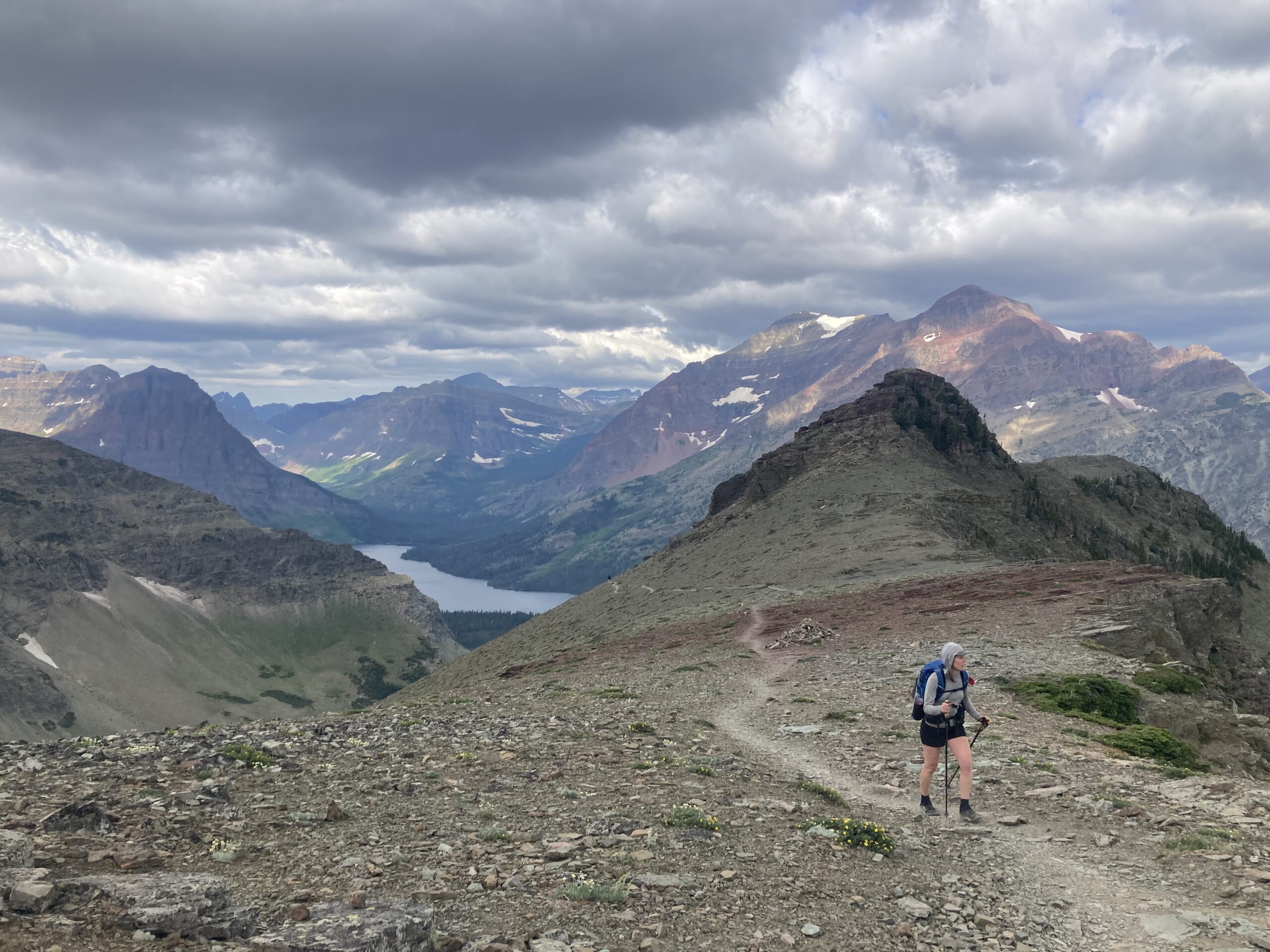
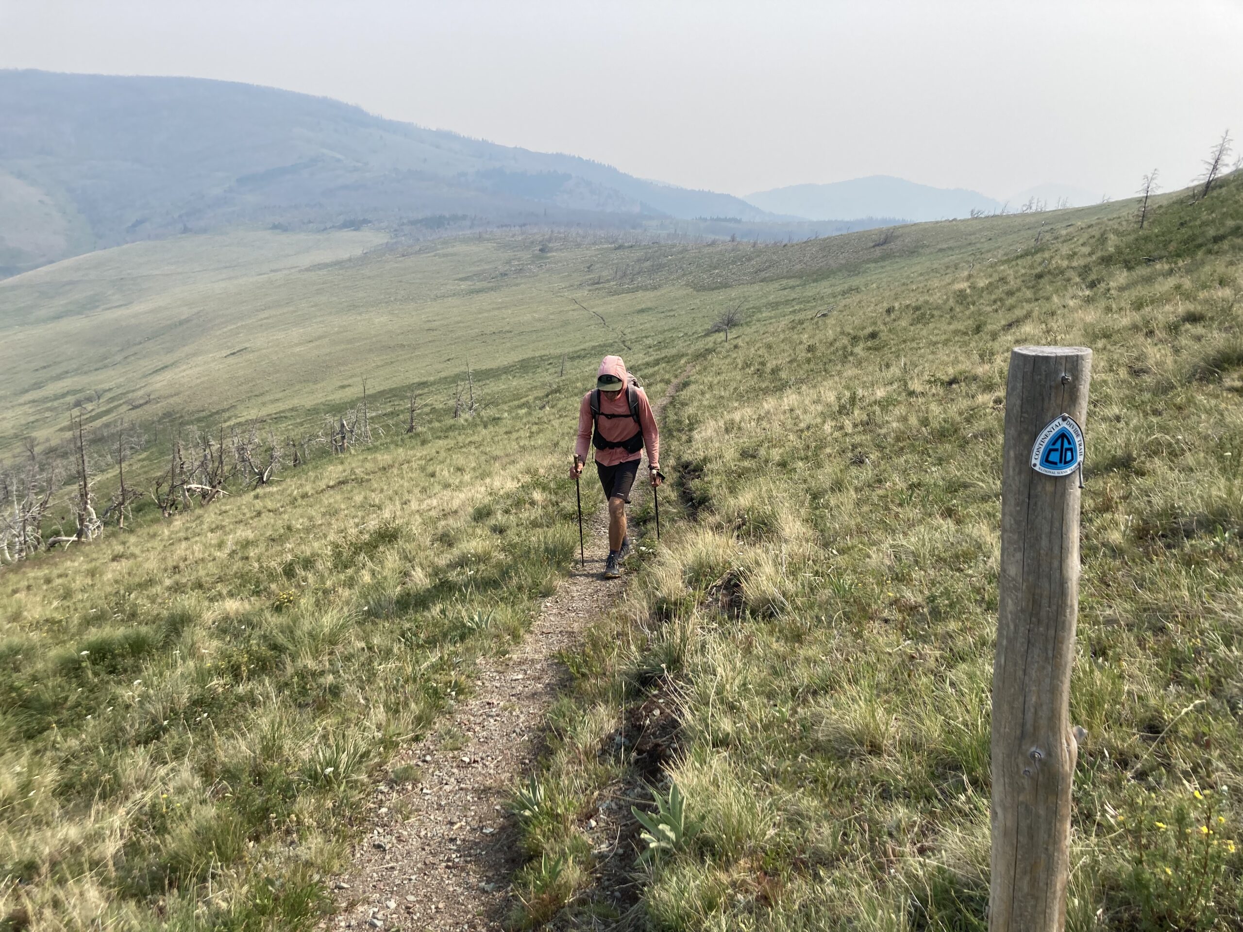
Experience
Much more remote, rugged and logisitcs intensive
Alternates and side trips we did along the way:
- Super Butte Cutoff
- Beartooths Side Trip Exploration
- Grand Teton Alternate (Grand Teton NP & Gros Ventre Wilderness
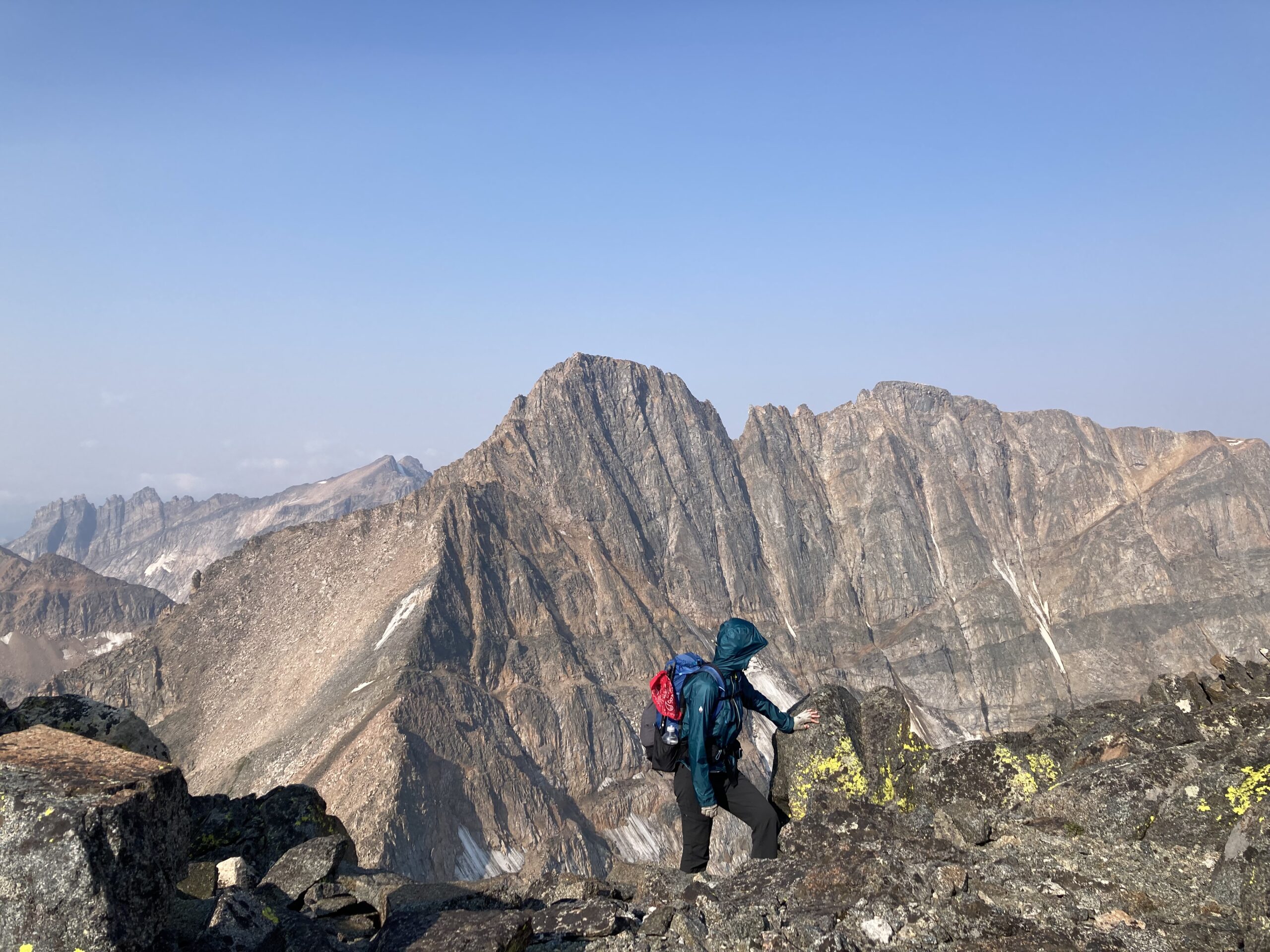
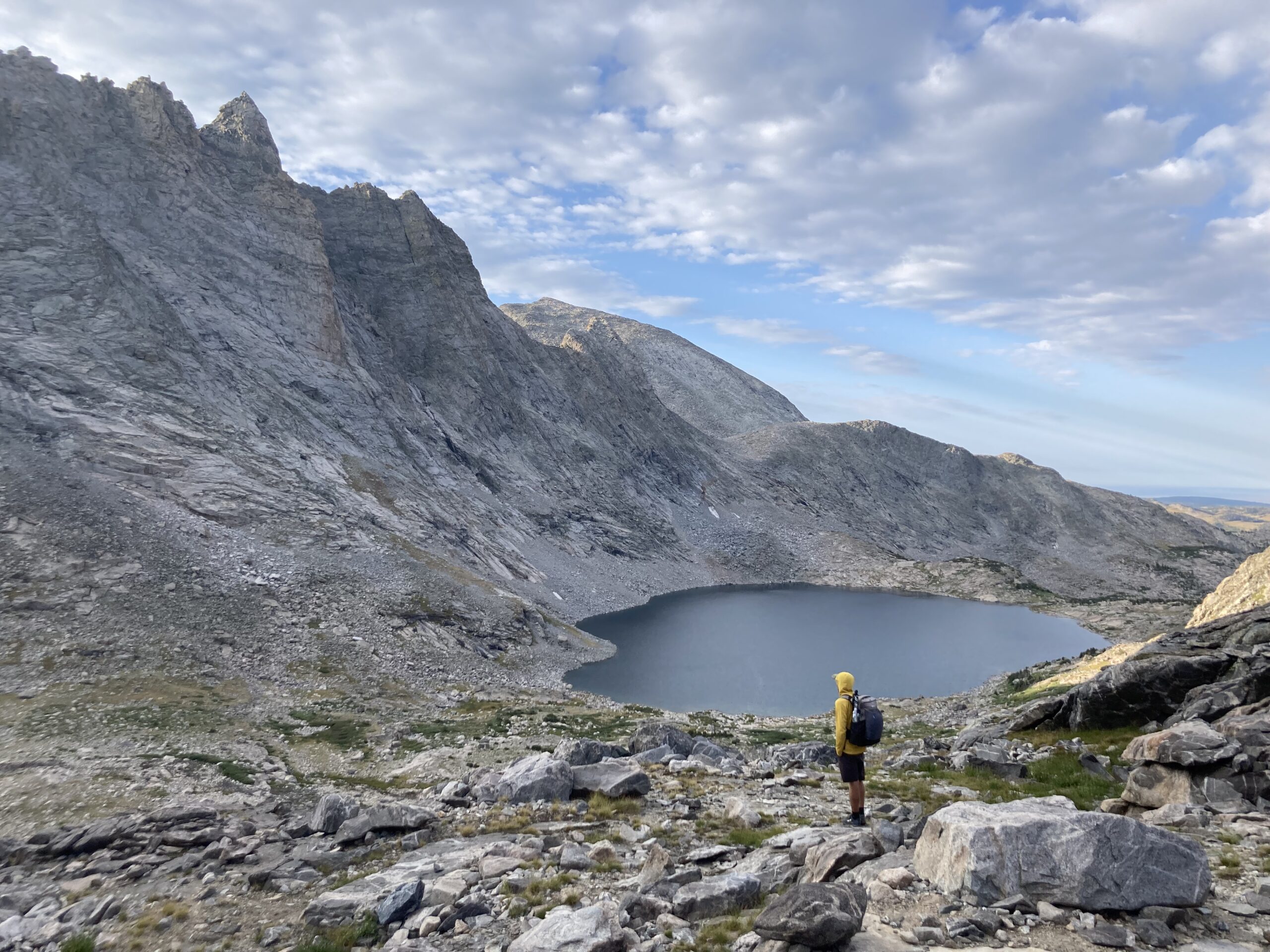
- Alan Dixon Wind River High Route
Highlights
- Glacier – Ahern Drift/Bears – Bears in Yellowstone
- Wind River High Route ending at the Cirque of the Towers
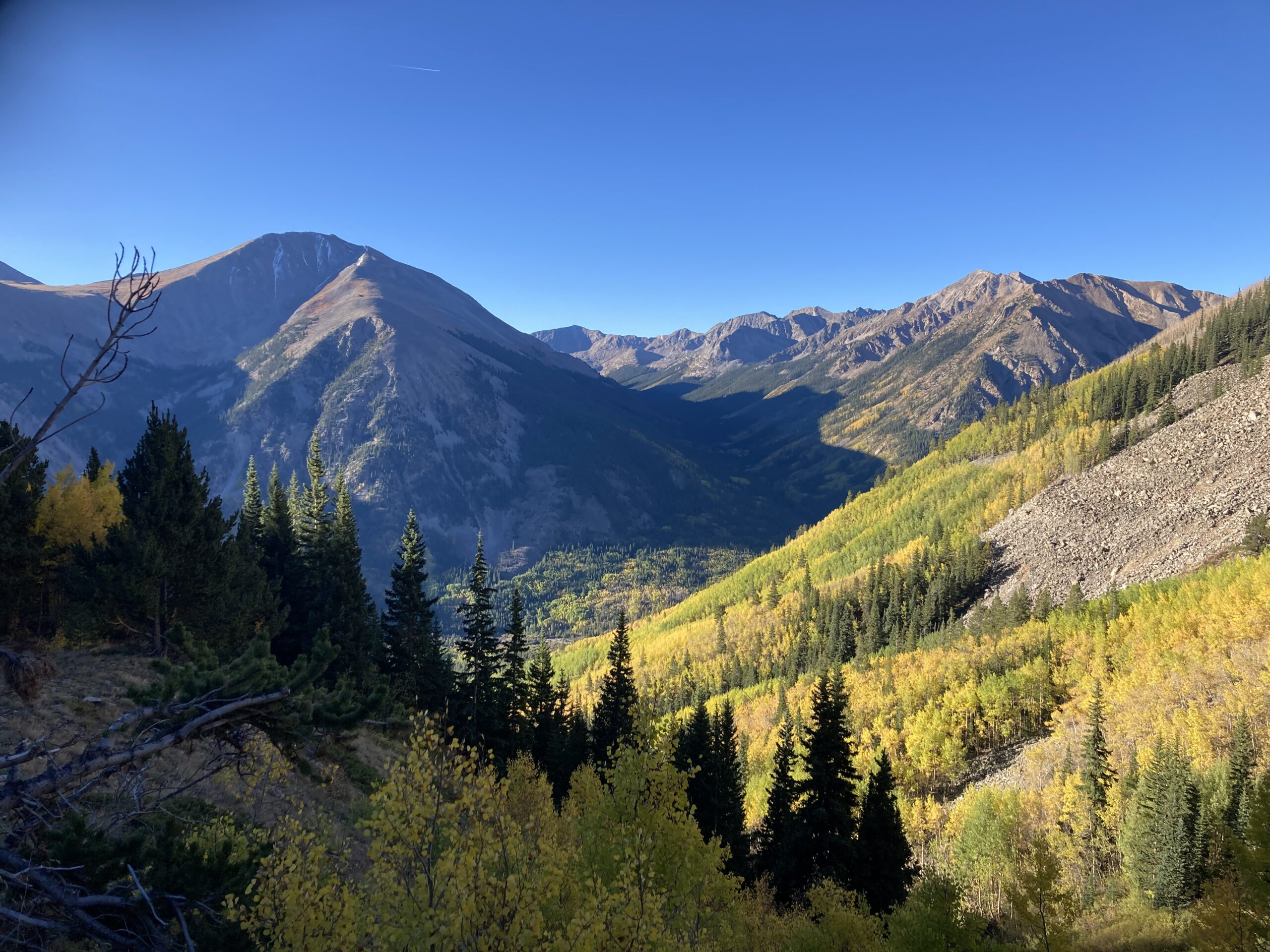
- Fall Colors in Colorado
Lowlights
- Smoke & Tough Water Sources w/ Dead Animals in them
- Carolyn leaving early due to life circumstances
- Snowstorm solo in the Weminuche & South San Juans