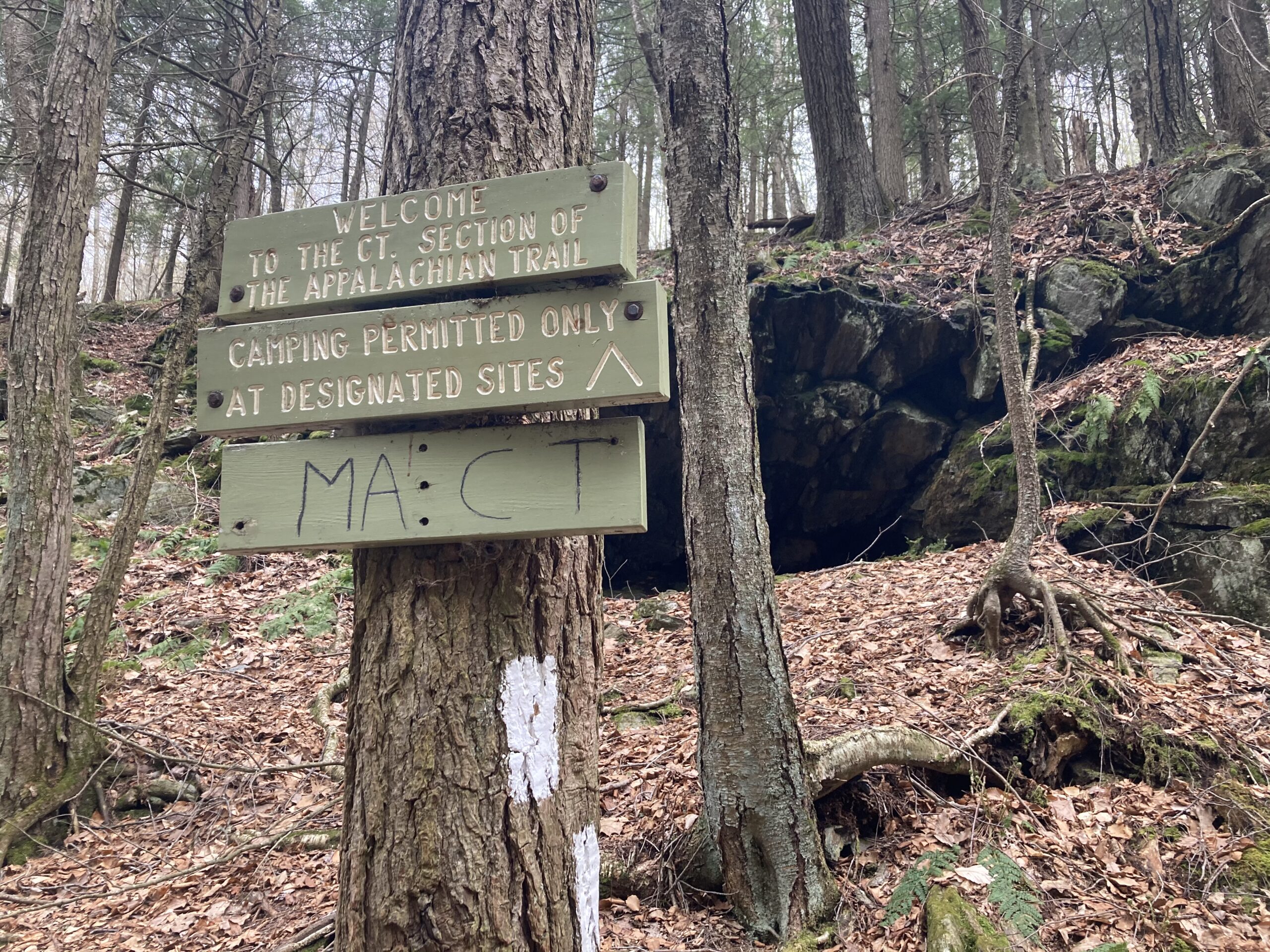
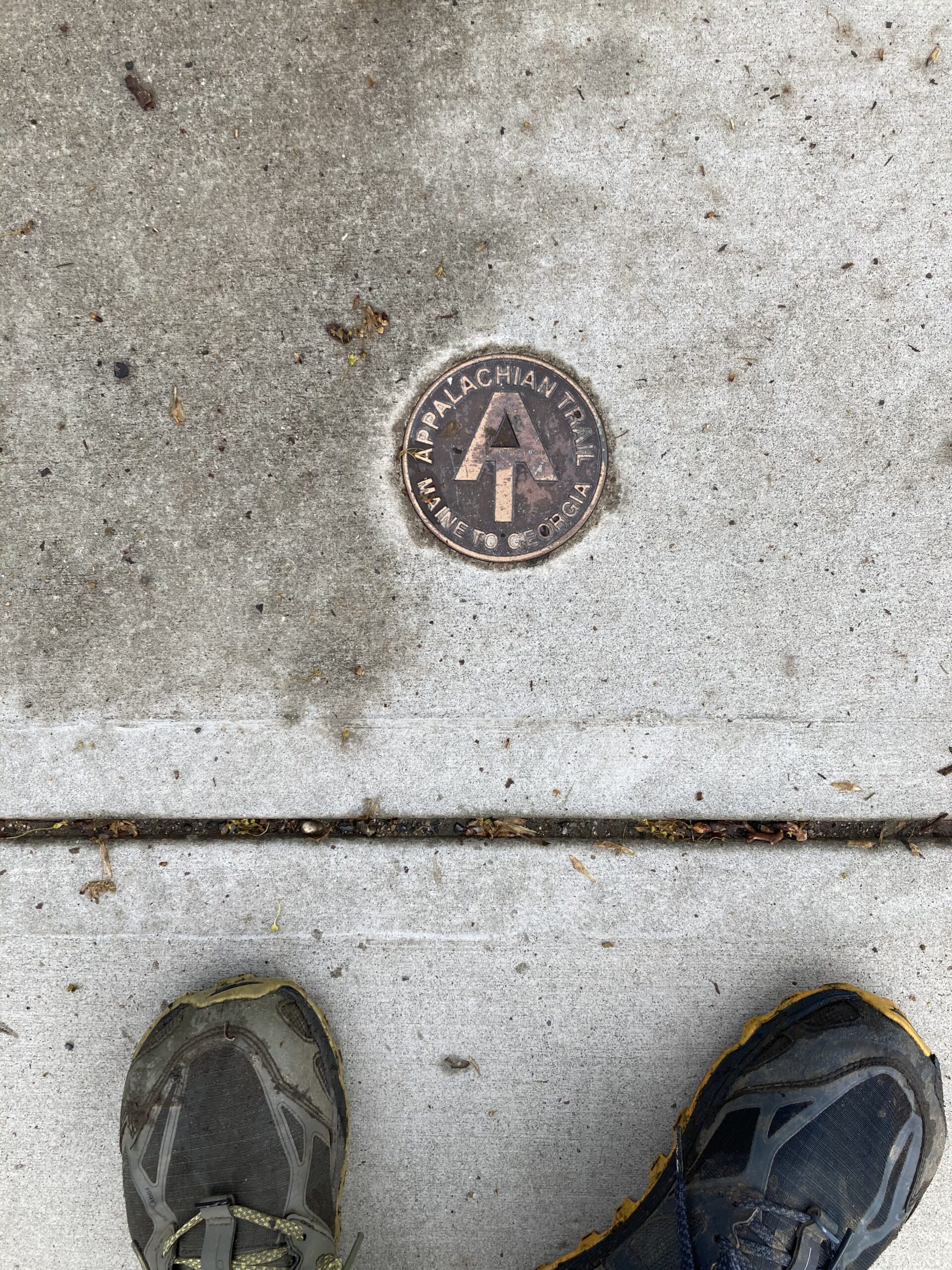
Appalachian Trail
↓
Jun 16, 2021
Quick Links
Map
Trail Overview
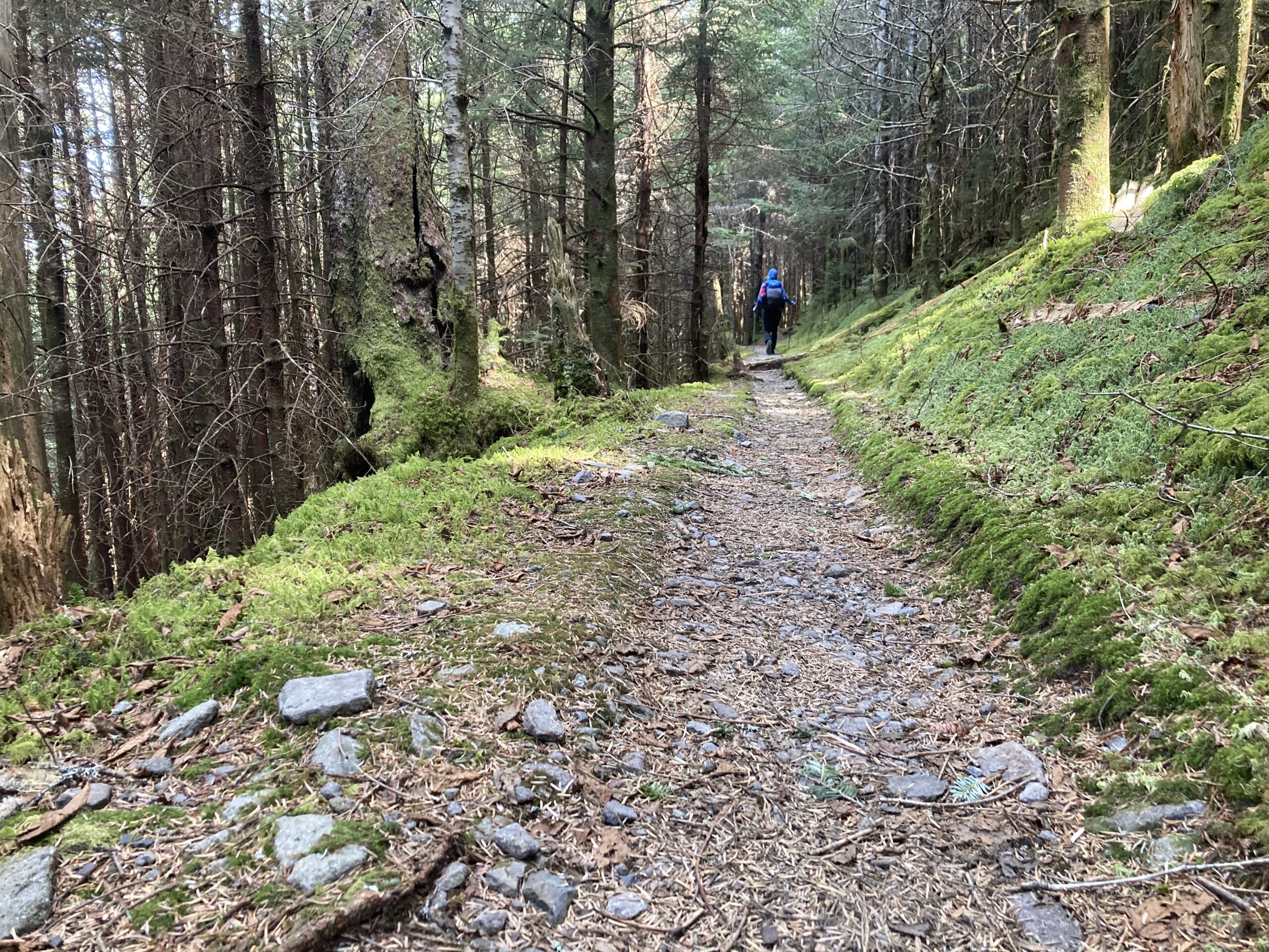
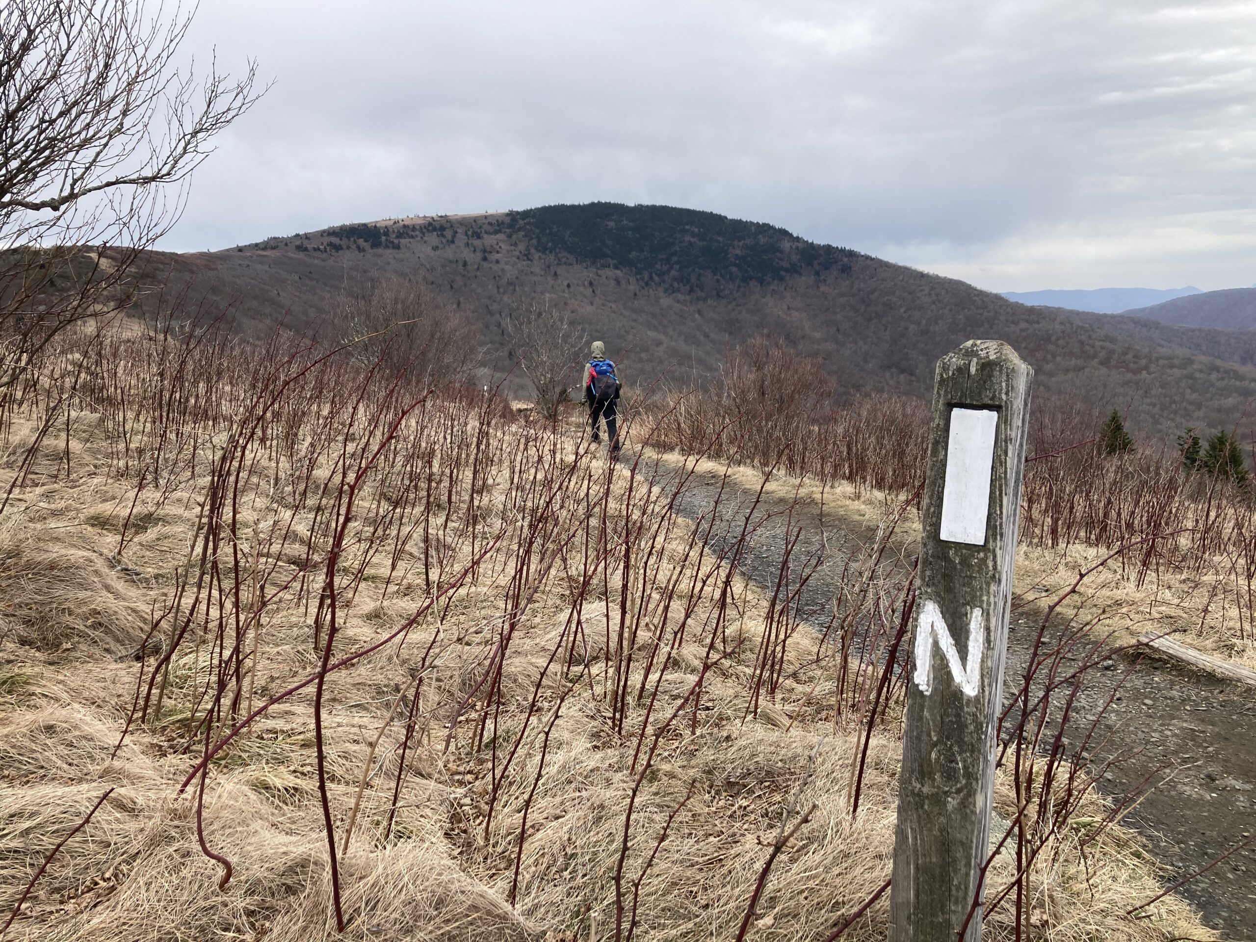
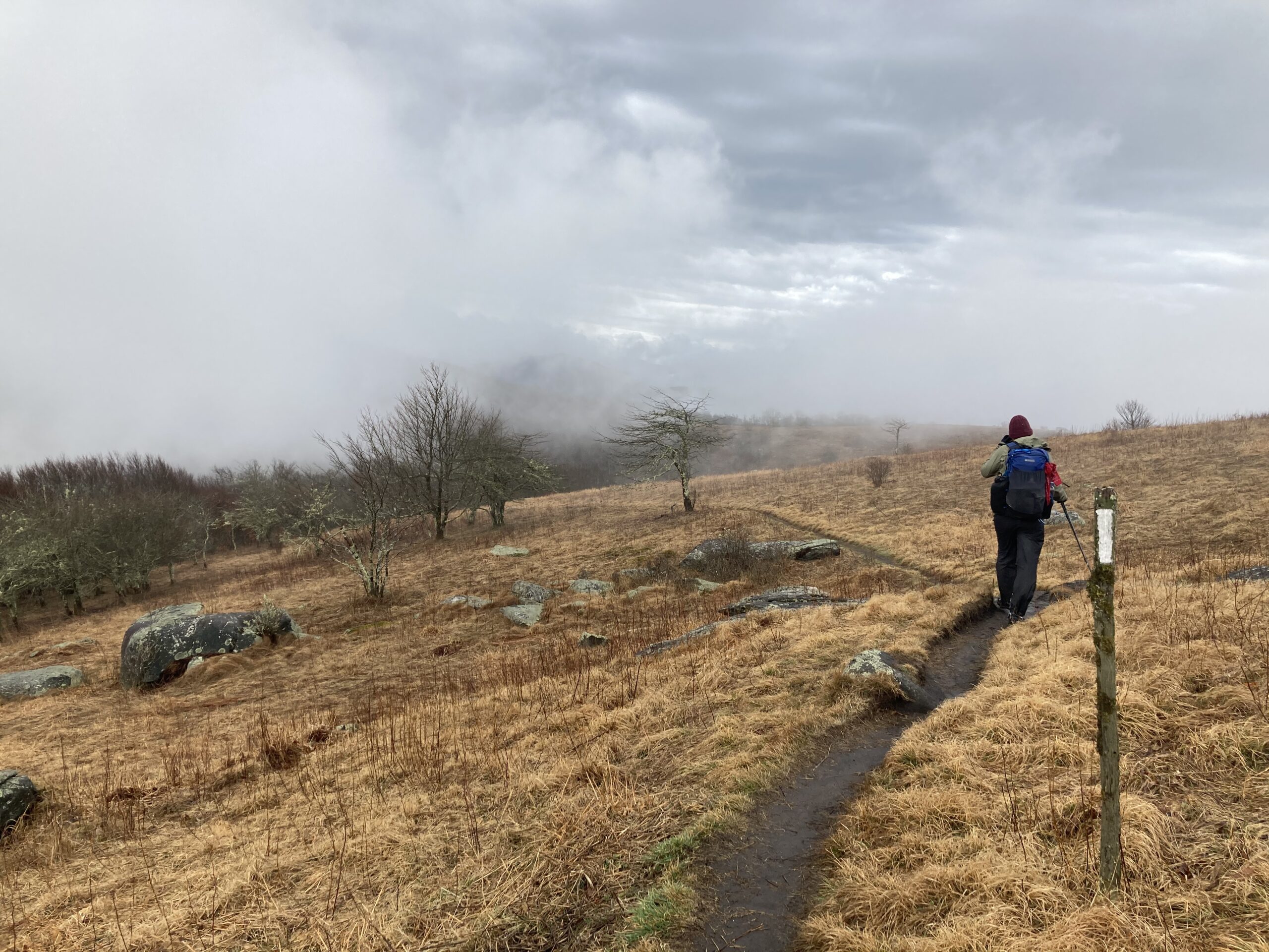
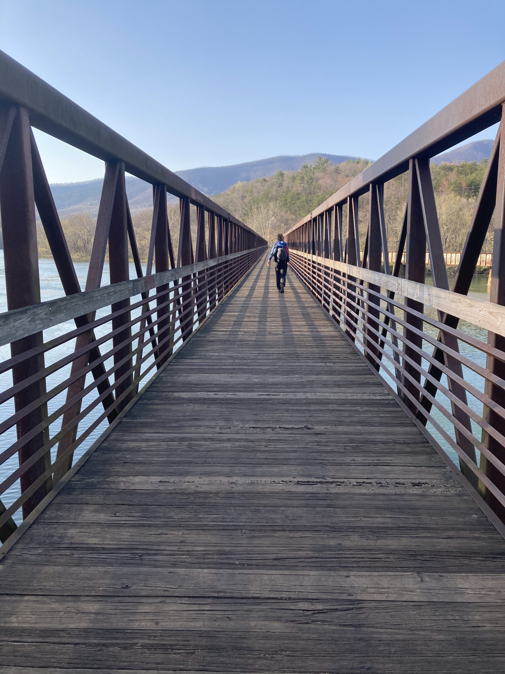
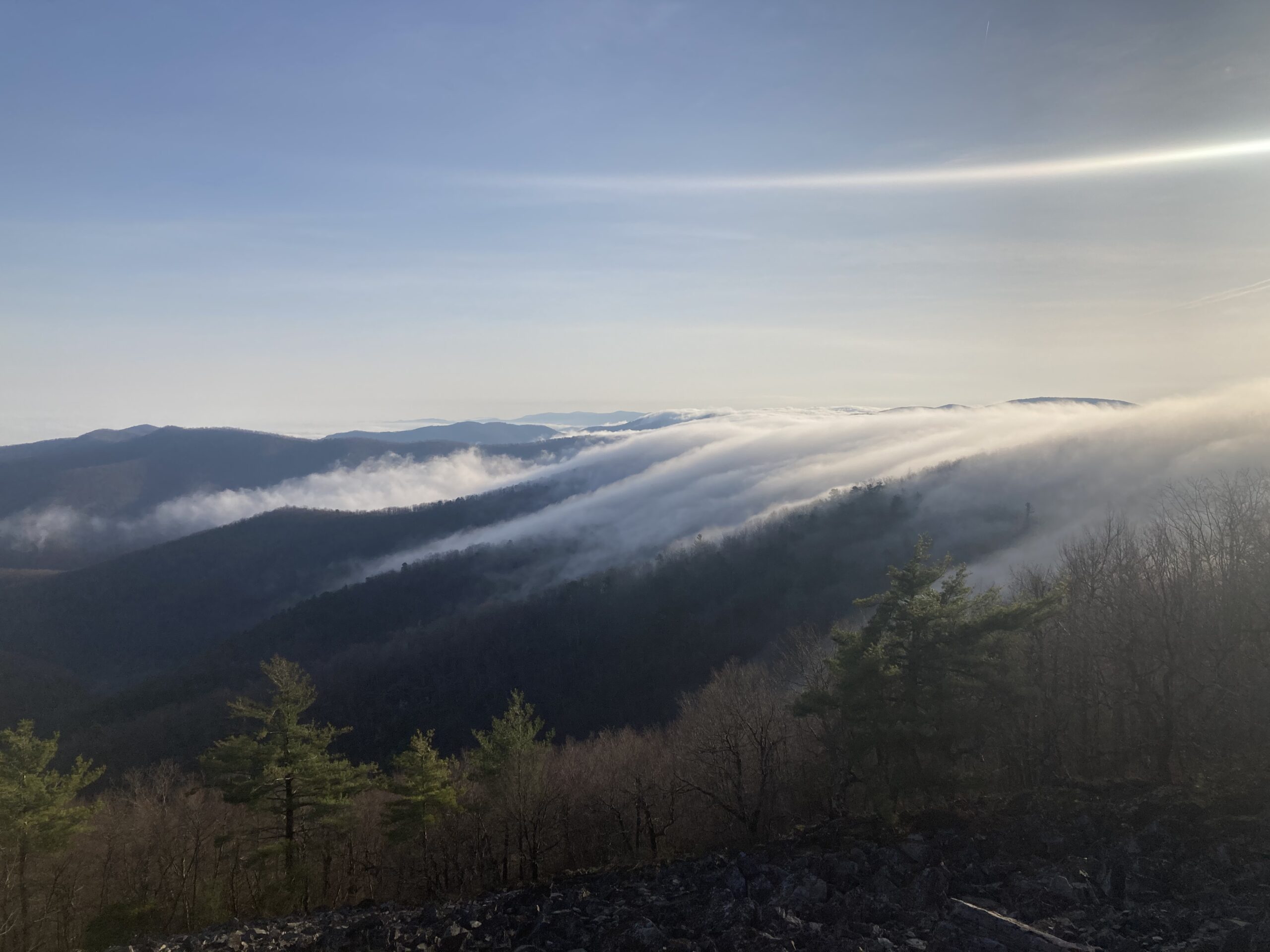
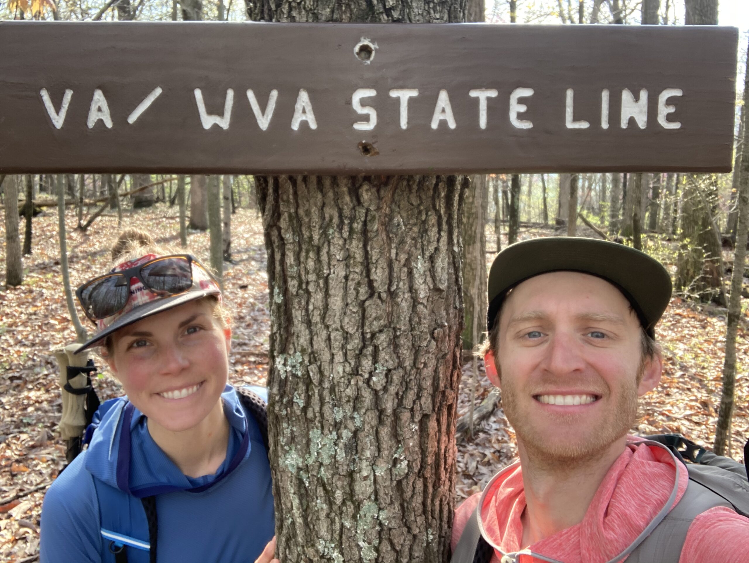
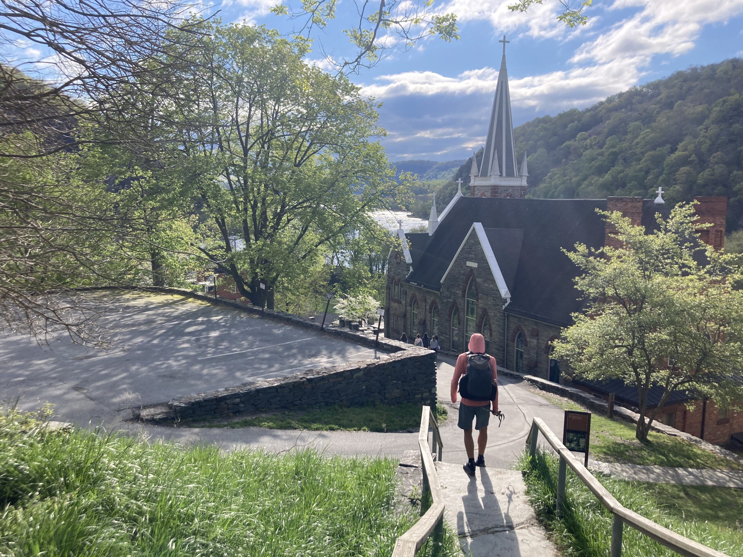
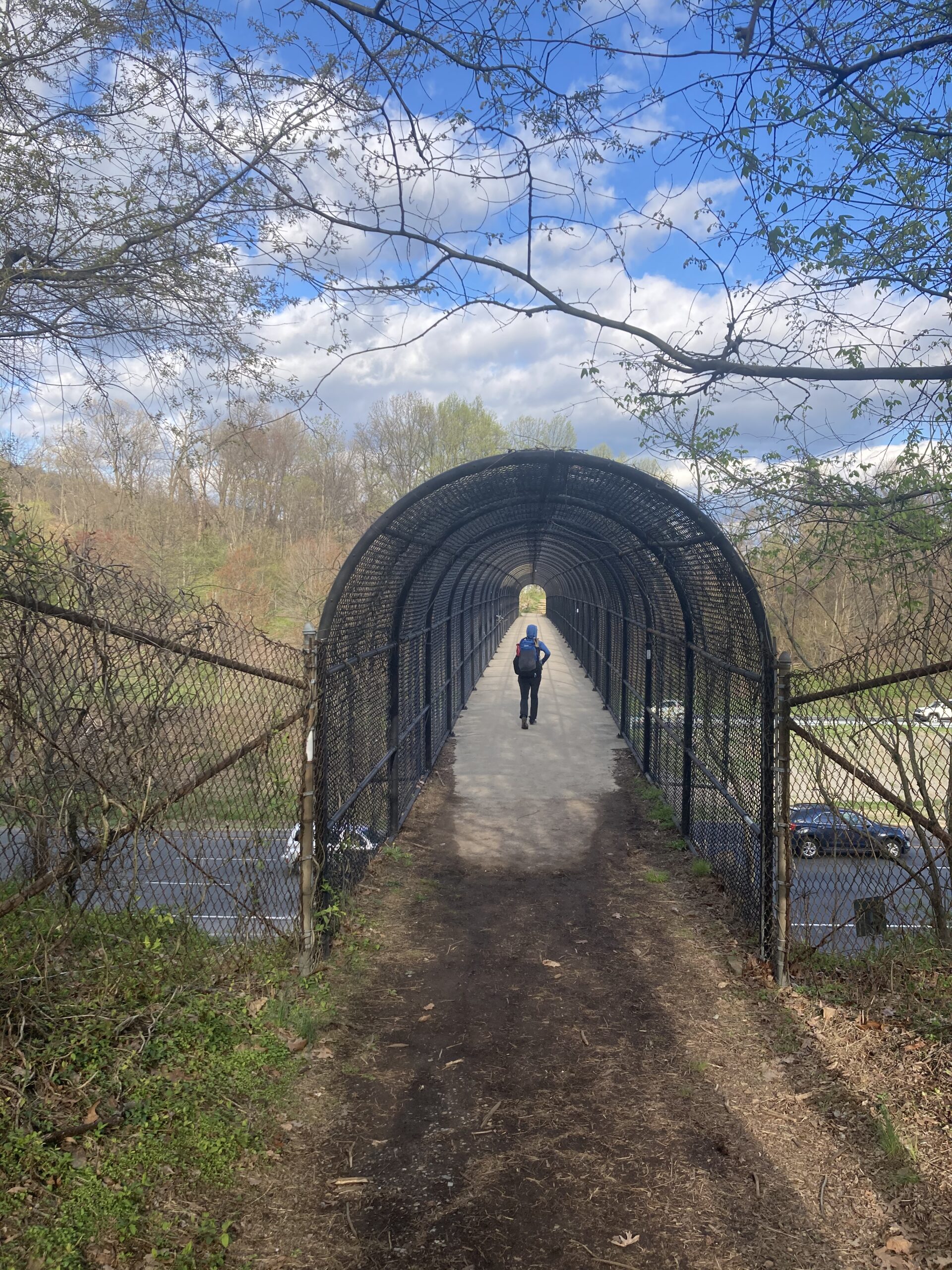
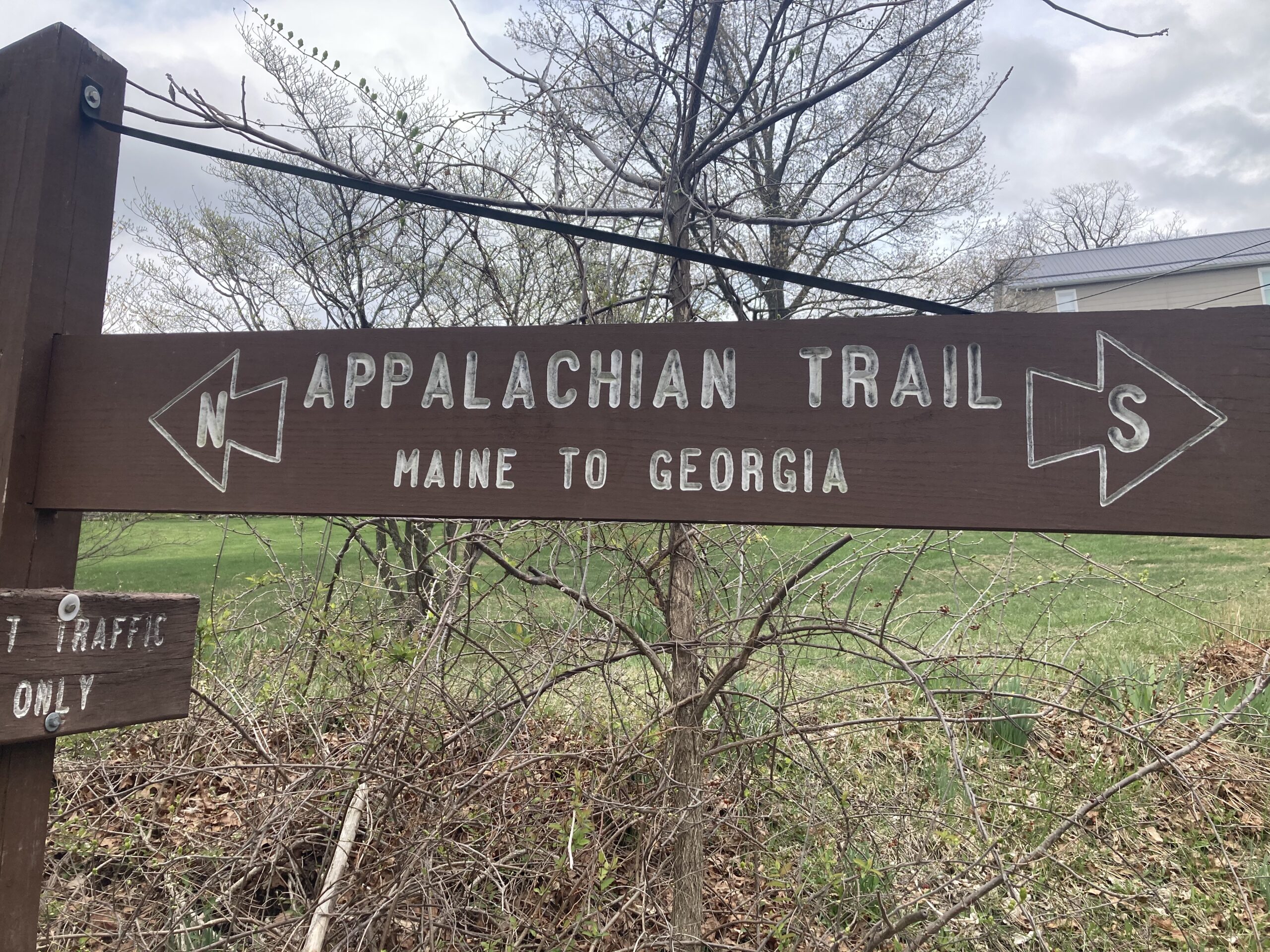
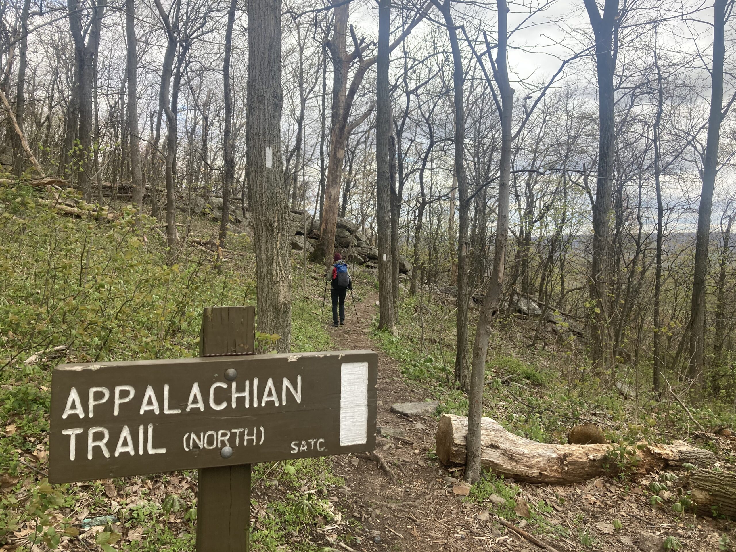
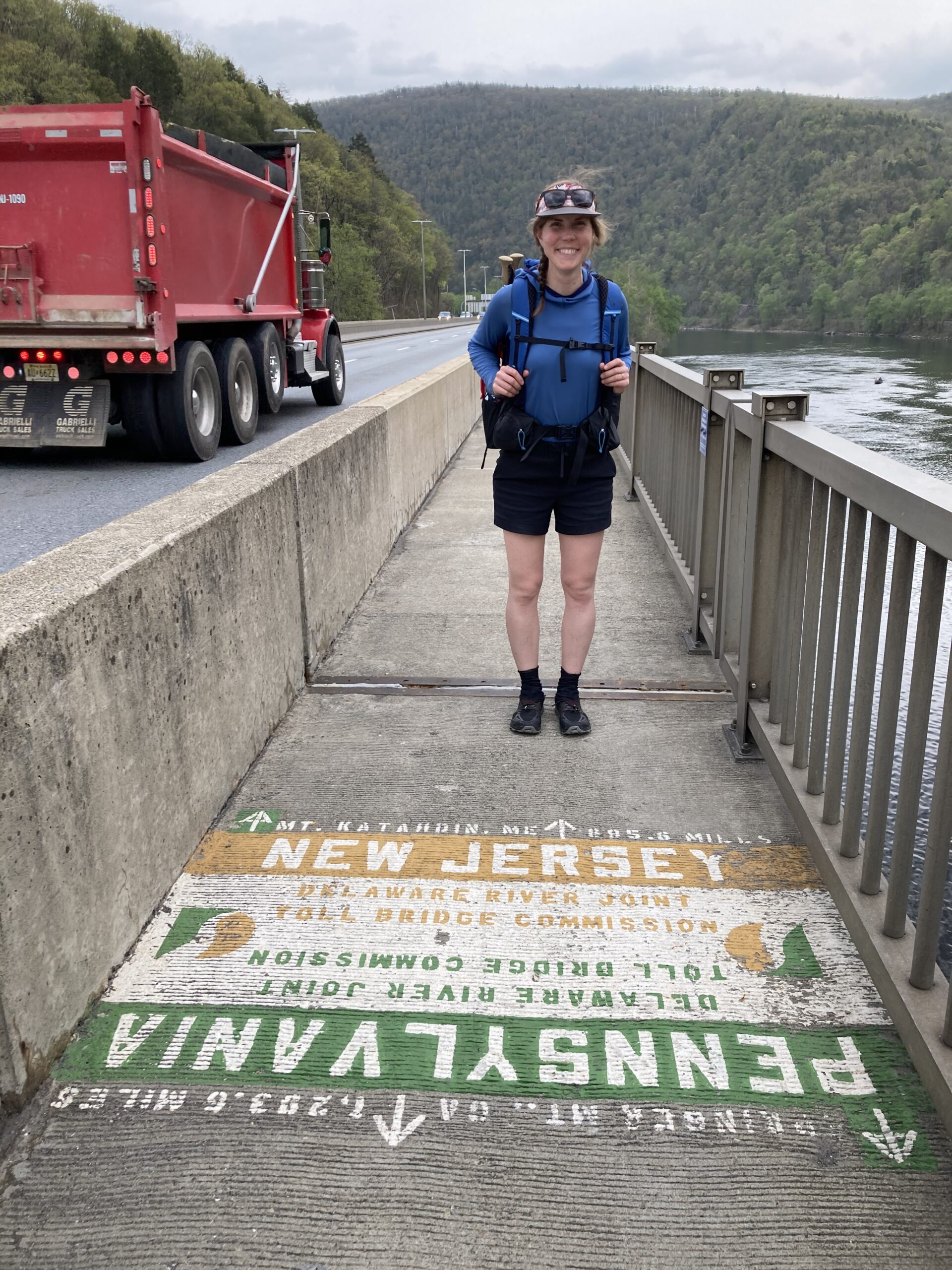
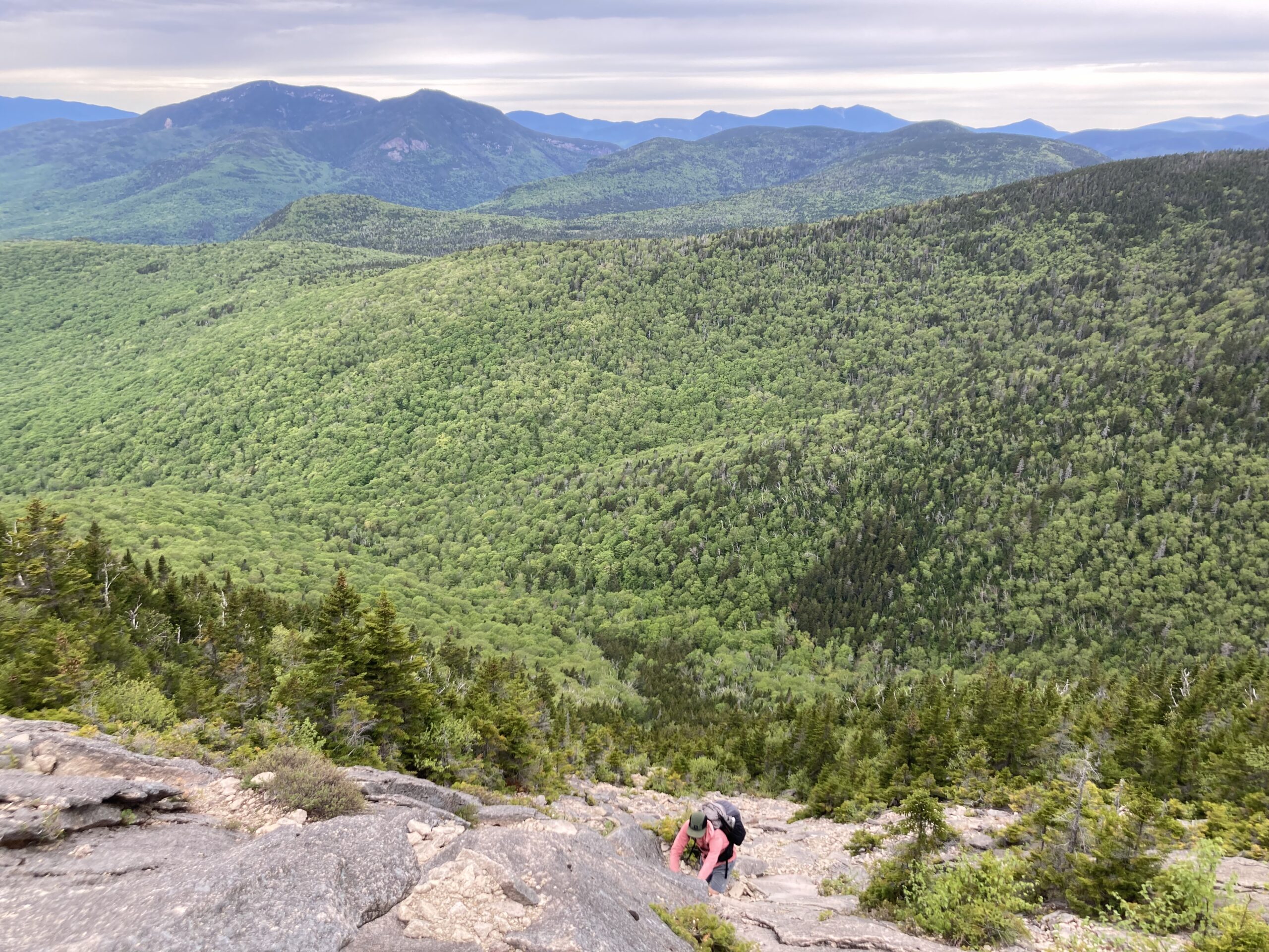
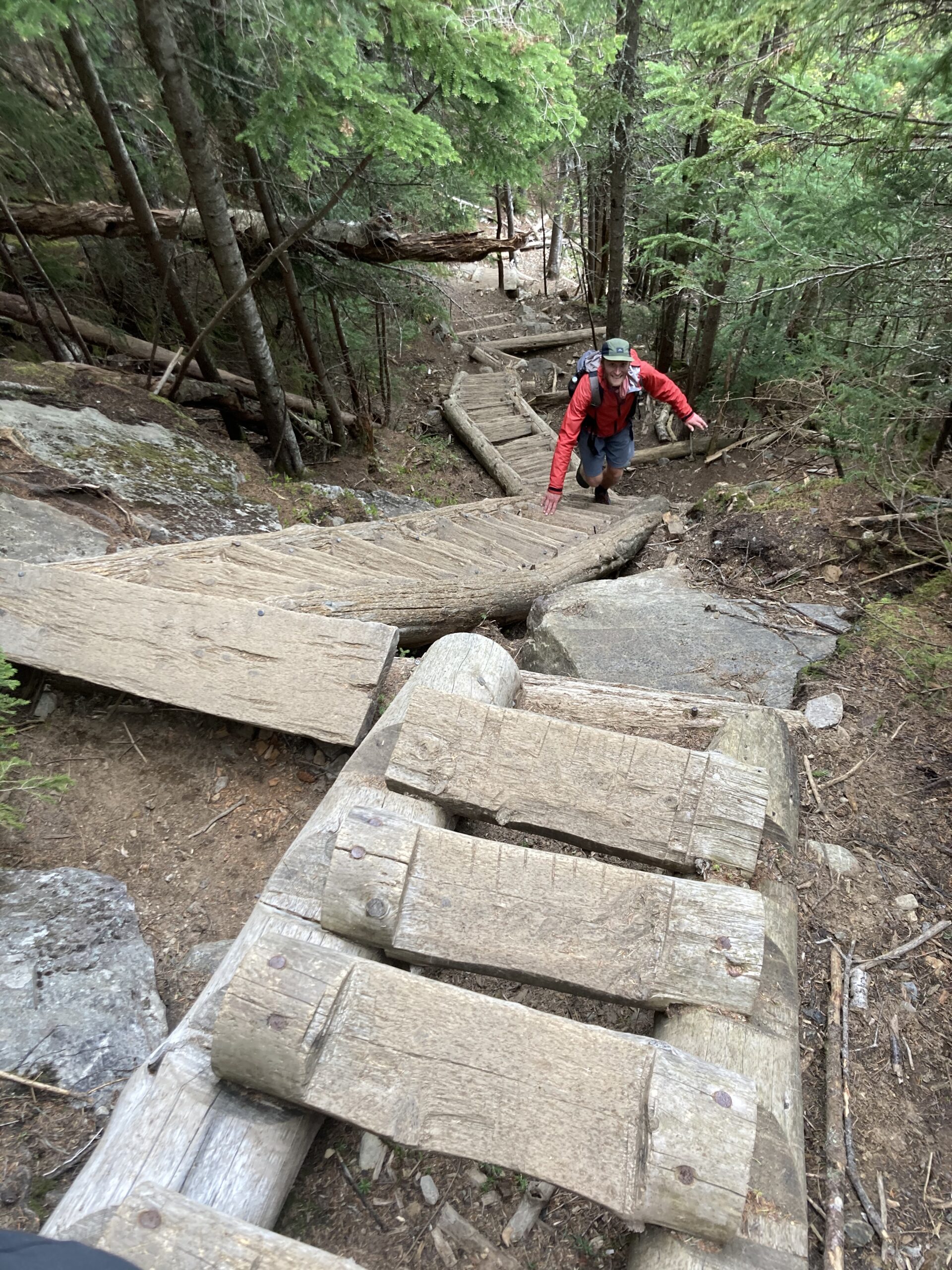
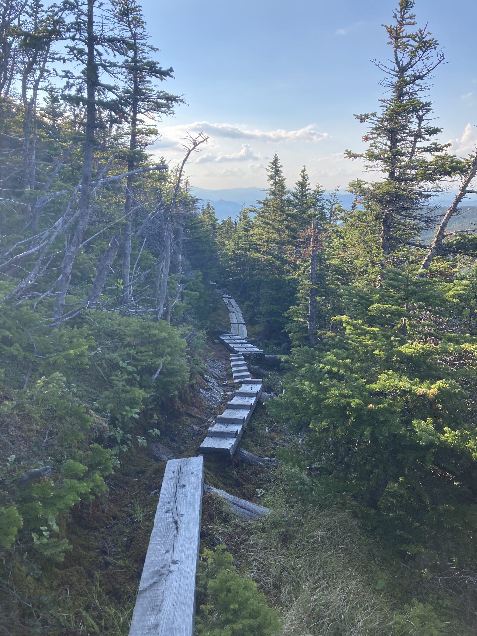
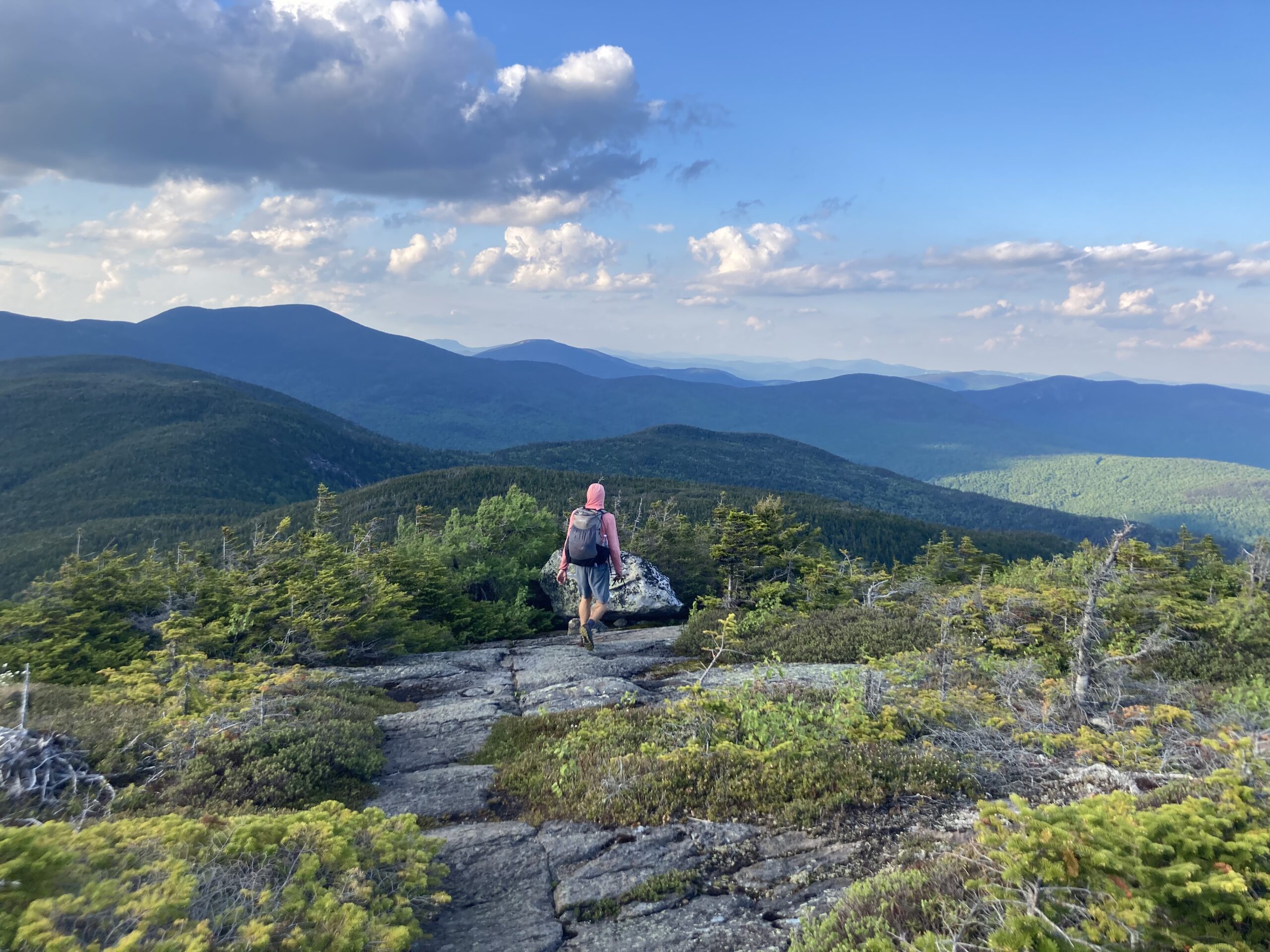
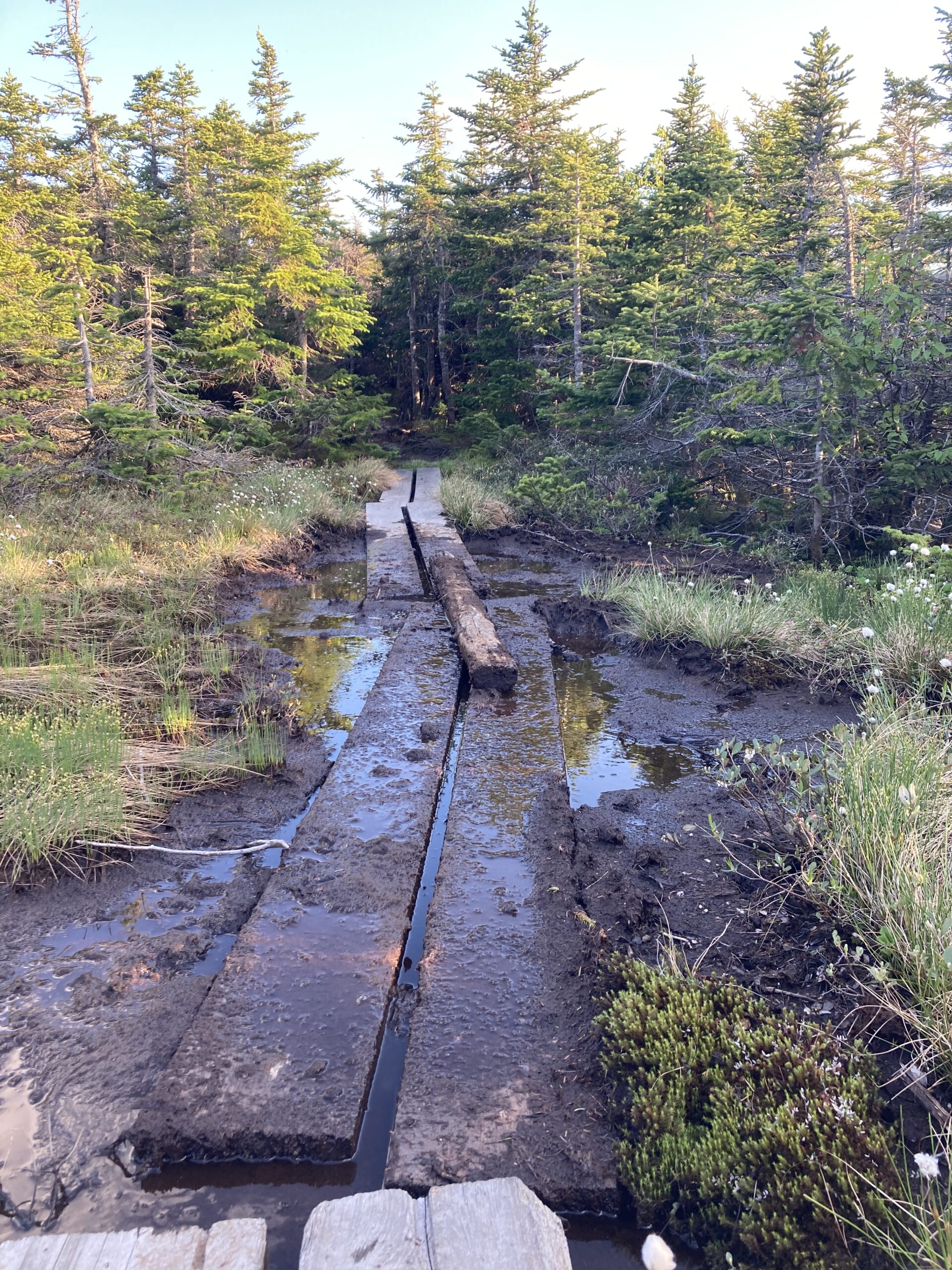
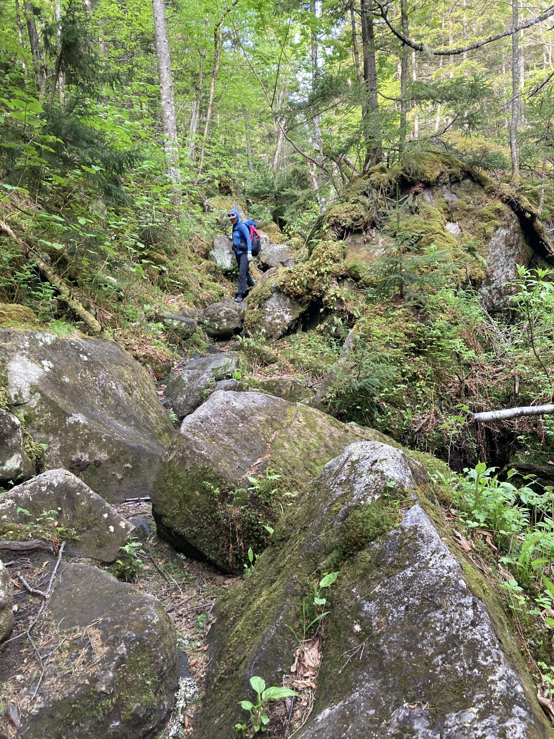
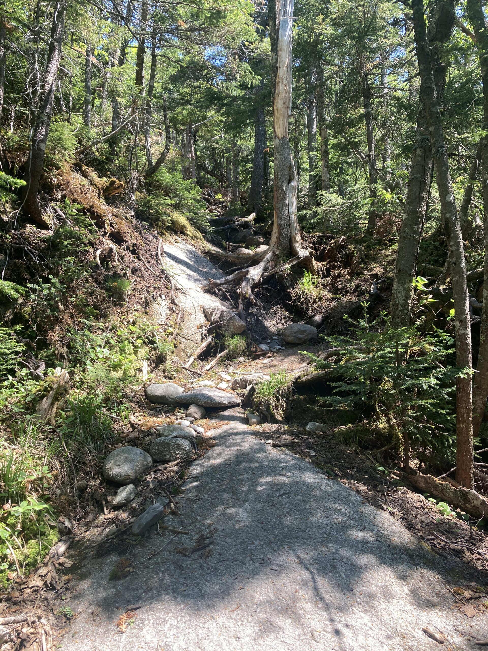
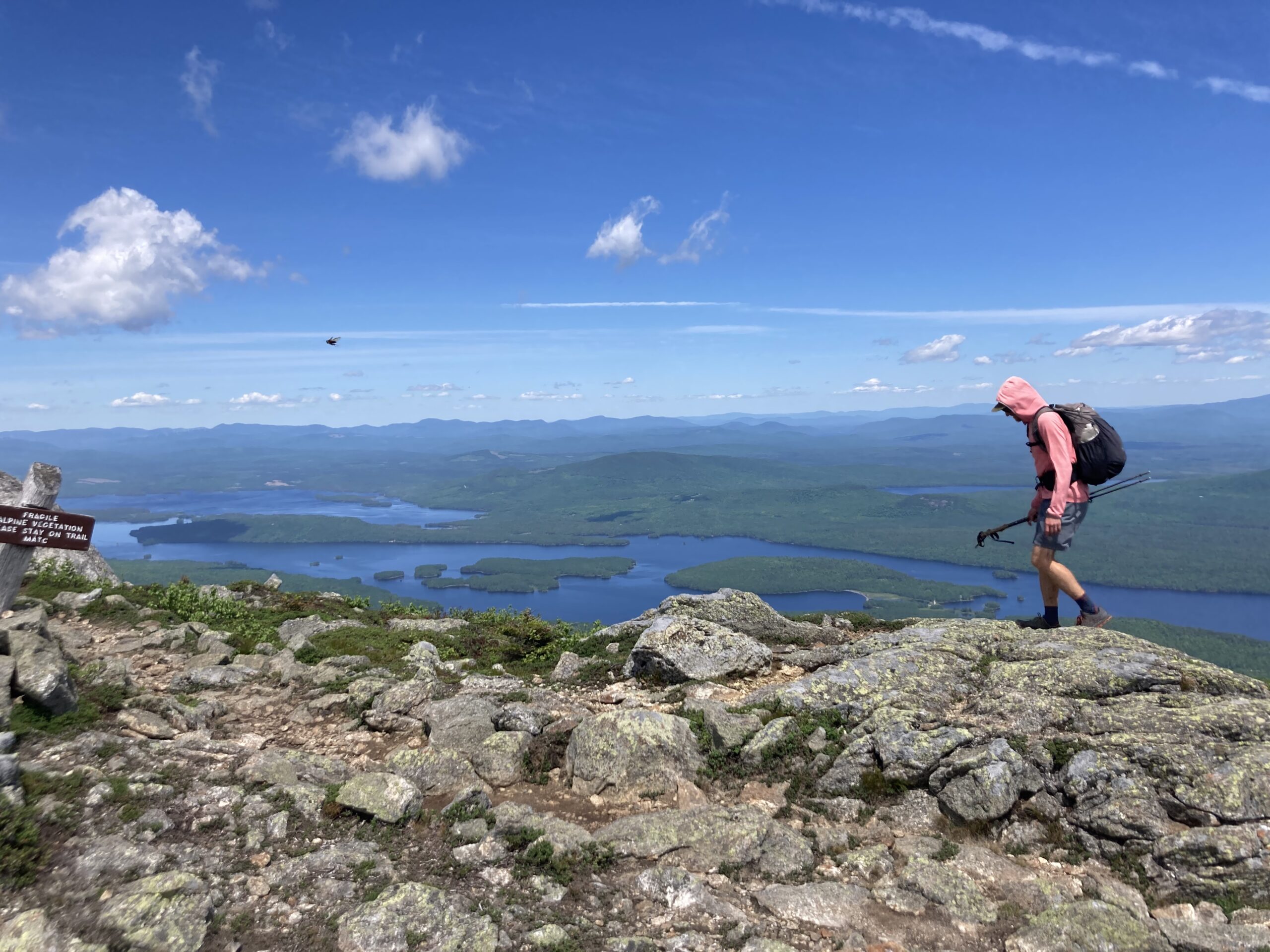
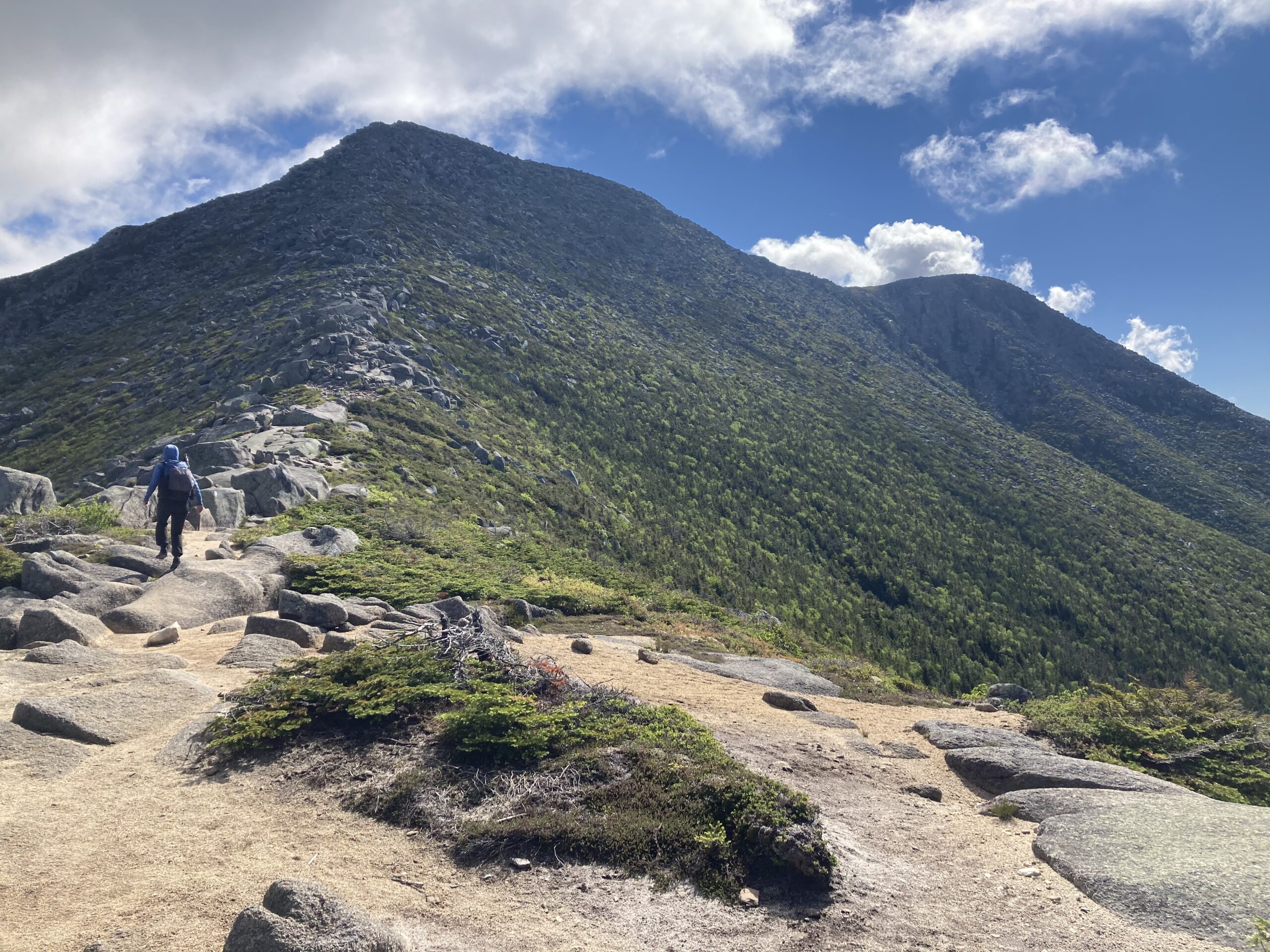
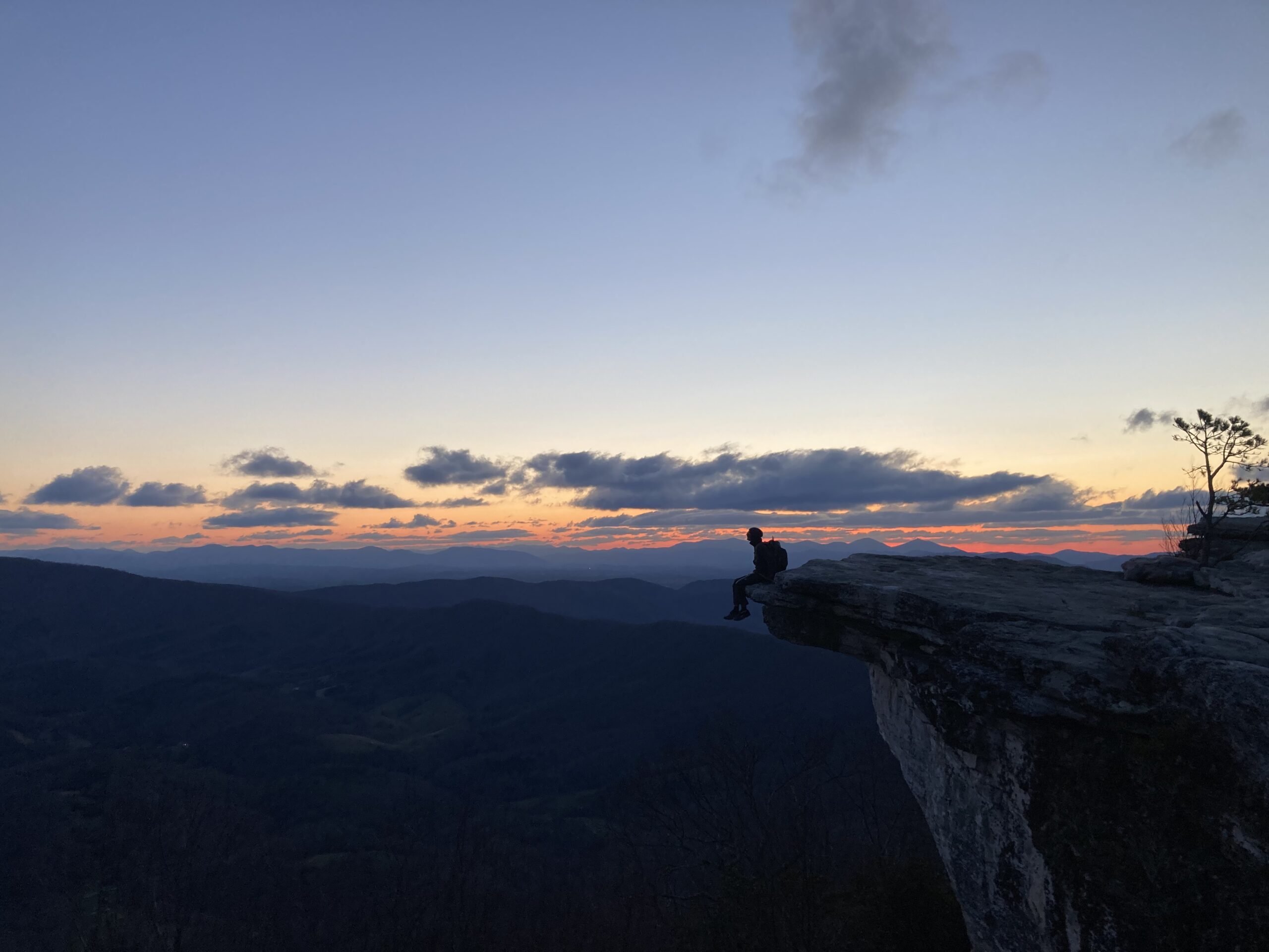
The Appalachian Trail (or AT) is about 2,190 miles in length and stretches along the Appalachian Mountains from Georgia to Maine. The trail passes through a wide variety of landscapes — taking hikers through dense forests, rolling ridgelines, rocky alpine terrain, farmland, and small mountain towns along the Eastern United States. This long-distance footpath offers a mixture of physical challenge, natural beauty, trail culture, and community. Hiking the Appalachian Trail provides a unique opportunity to experience a large portion of the eastern U.S. entirely on foot. At times we found ourselves deep in remote wilderness, while on other days we were walking directly through small towns for food, rest, and resupply.
Experience
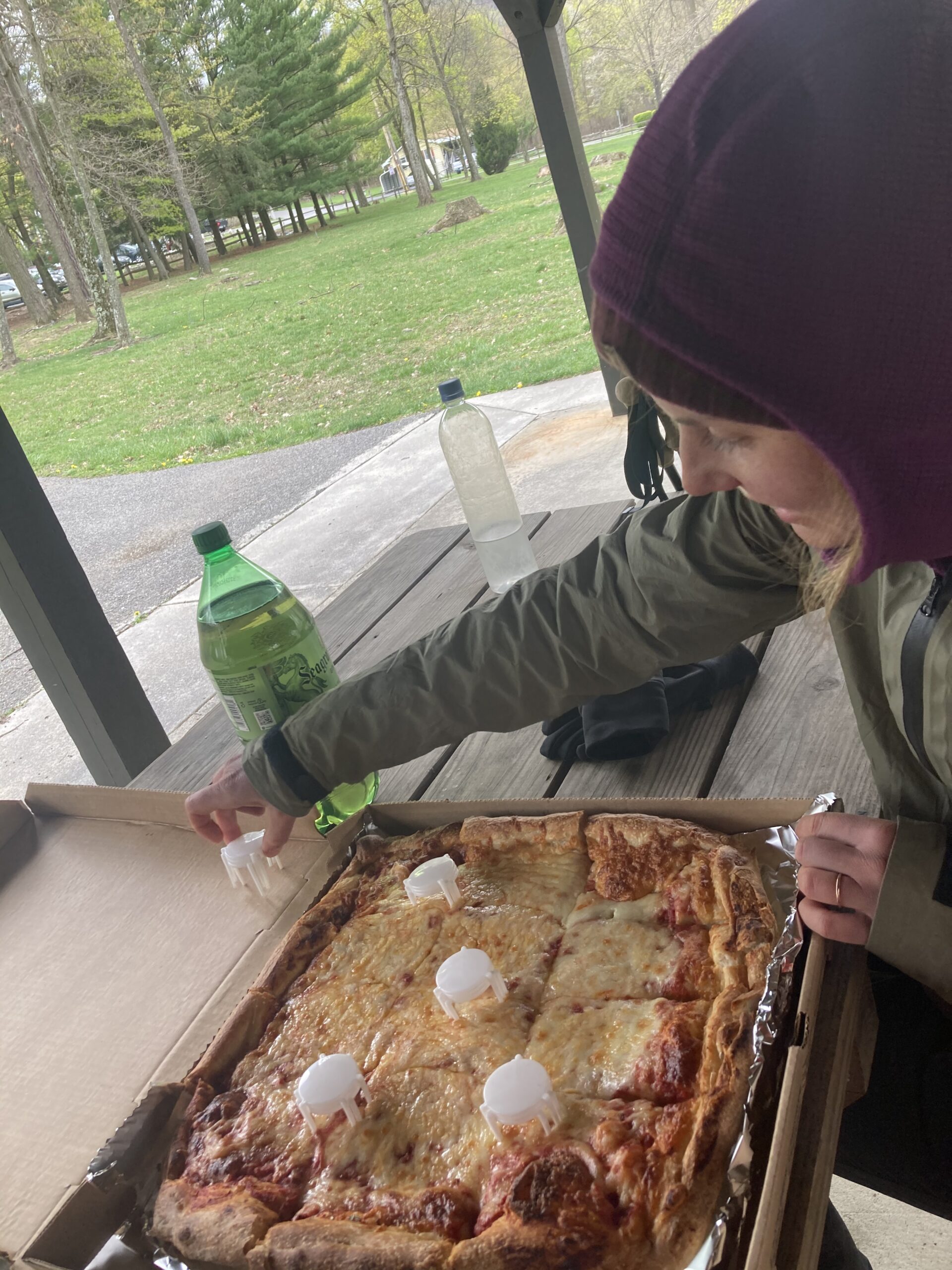
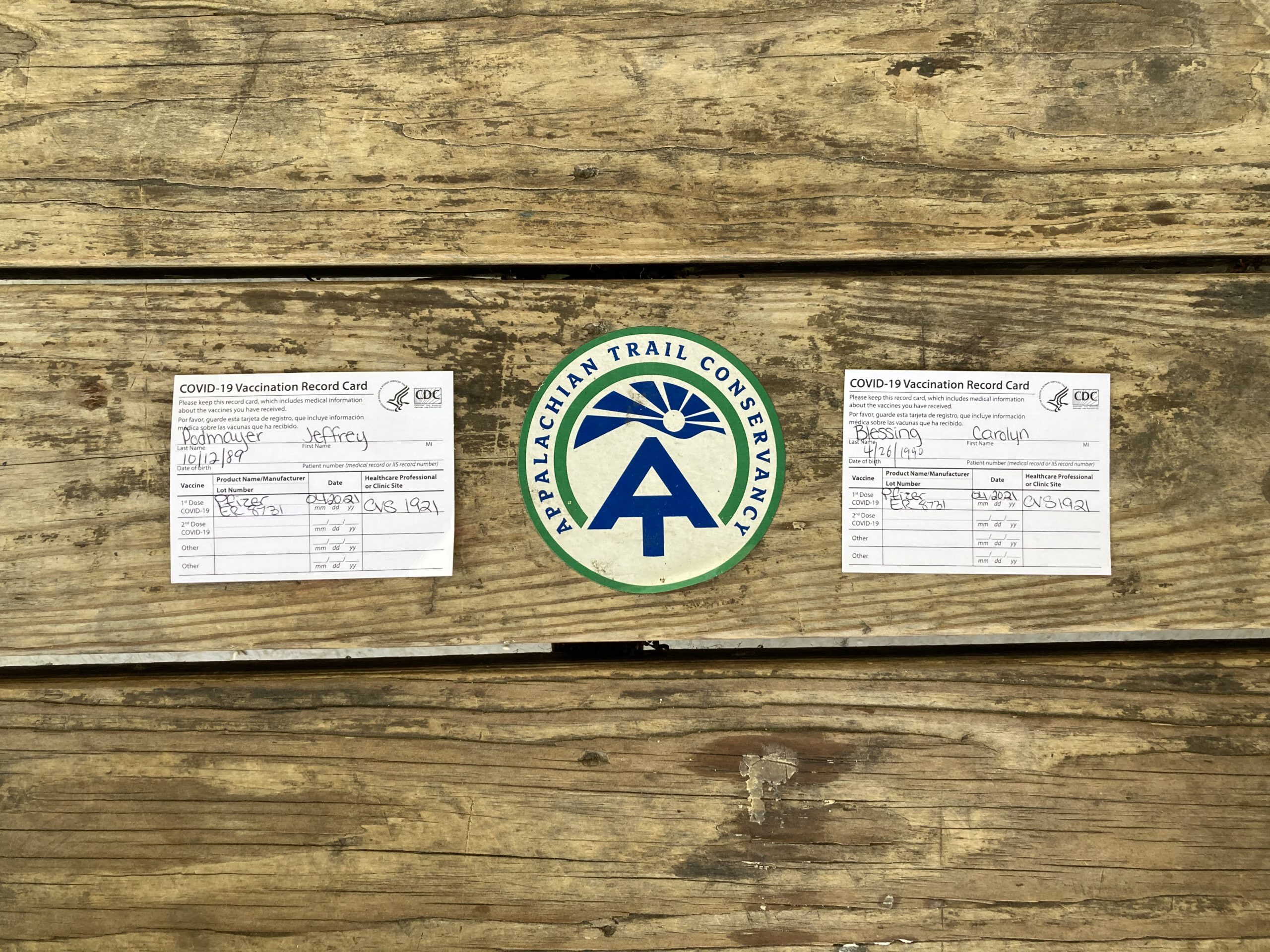
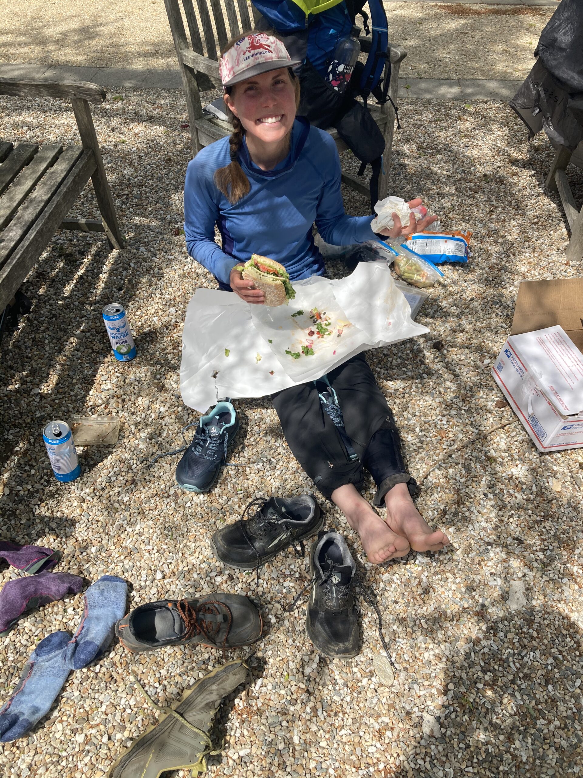
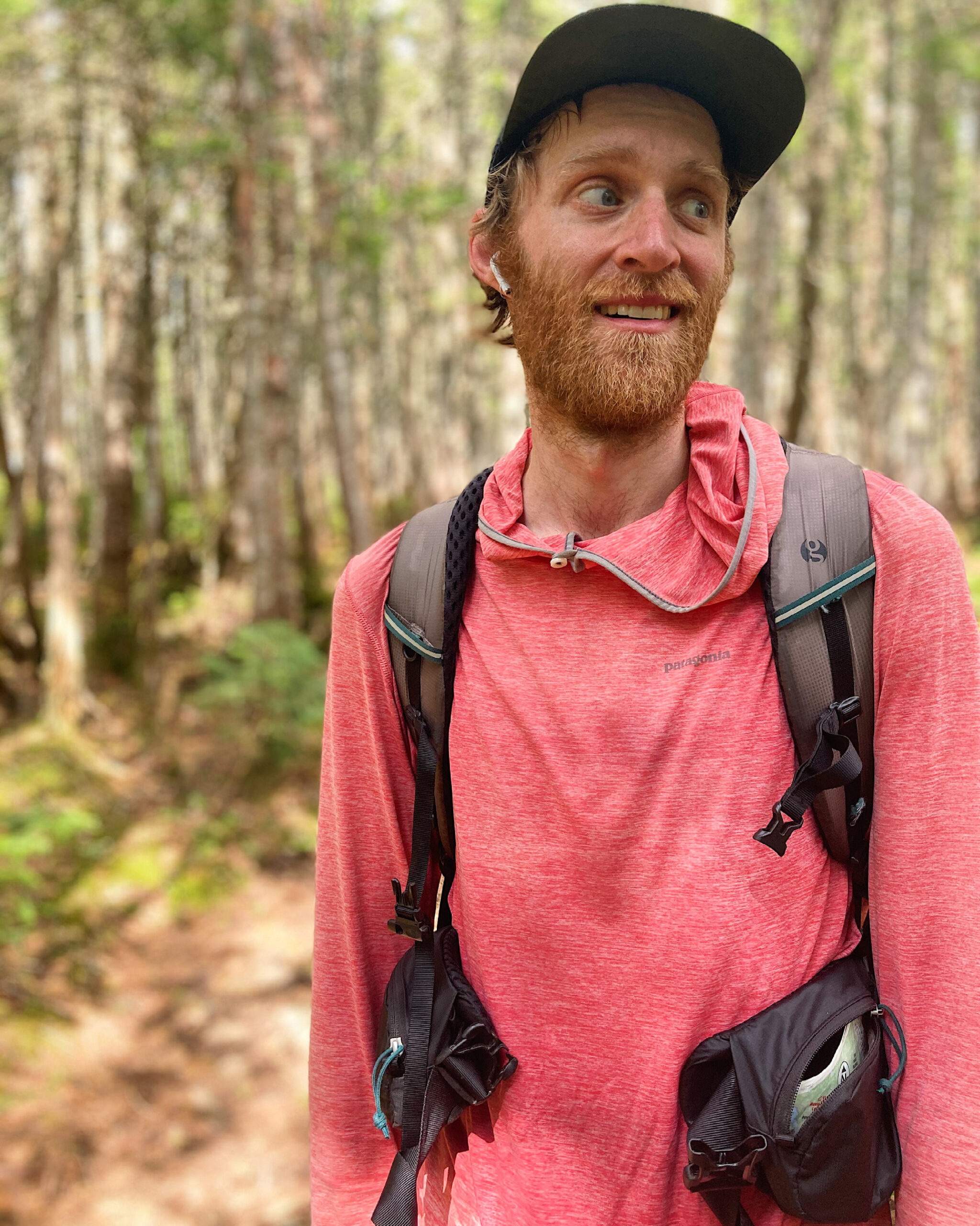
We hiked the Appalachian Trail during the Summer of 2021 along with the Continental Divide Trail later that Summer. It was the Summer where most of the trail organizations were discouraging folks from hiking the long trails due to the Covid pandemic. It was also the Summer that the Covid-19 vaccines were released to the general public, so at one point during our hike we got off of the trail to head to a nearby CVS to get our Covid vaccines. We kept our logistics for our hike very dialed in and planned to send a box to almost every possible location along the trail unless we were walking directly through a town. We rarely hitchhiked into towns and were diligent about wearing masks anytime we went inside. This made for an interesting experience on the trail because, ultimately, it meant that we spent more time hiking and on the trail in general than in trail towns. It was good for the budget and also a unique trail experience in general.
High Moments
-
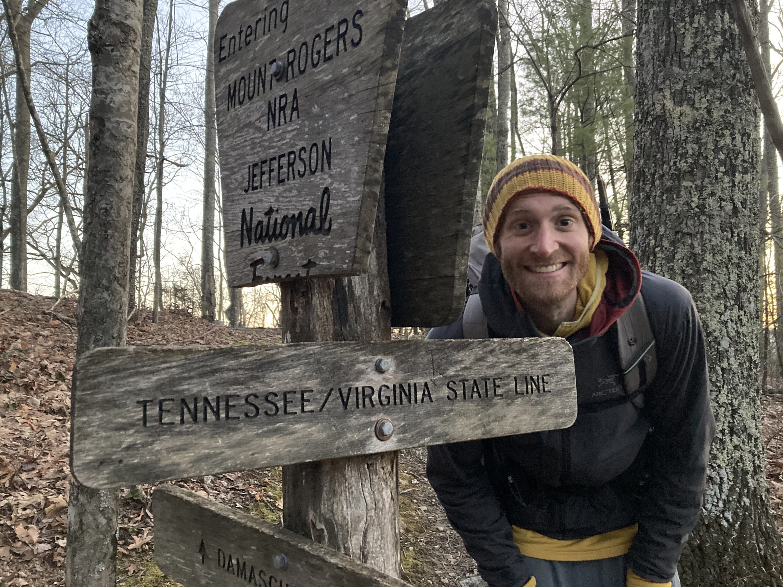
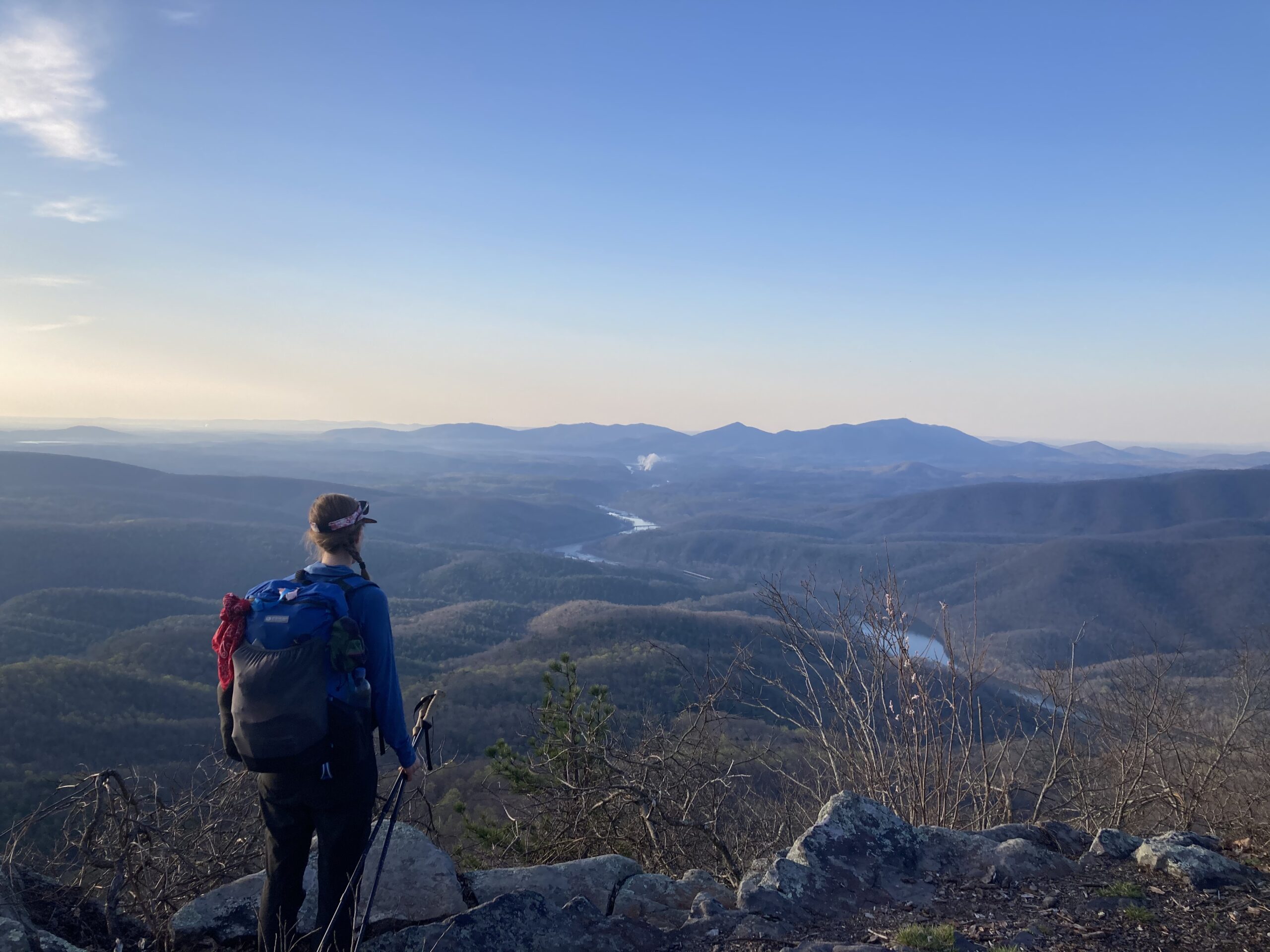
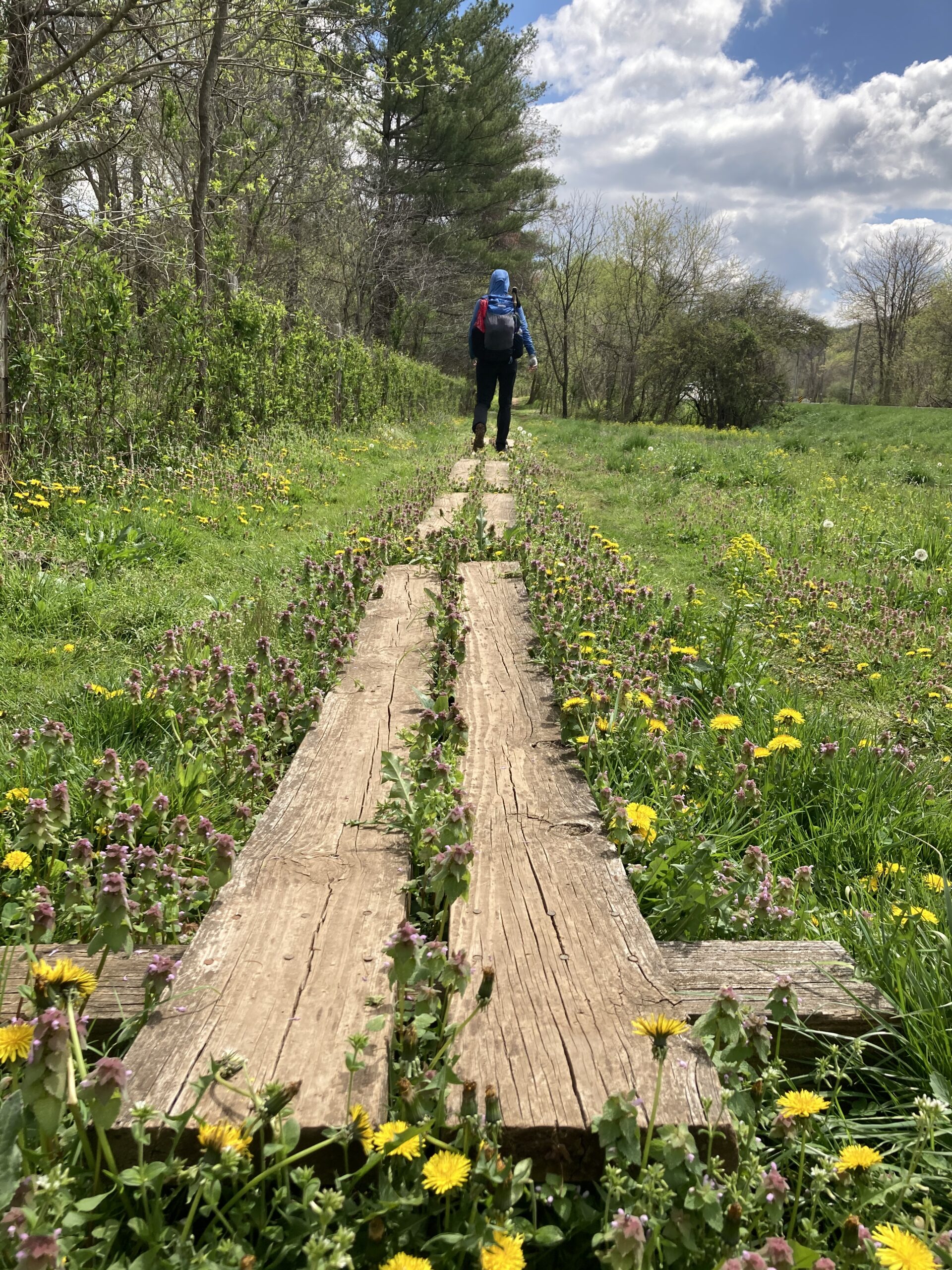
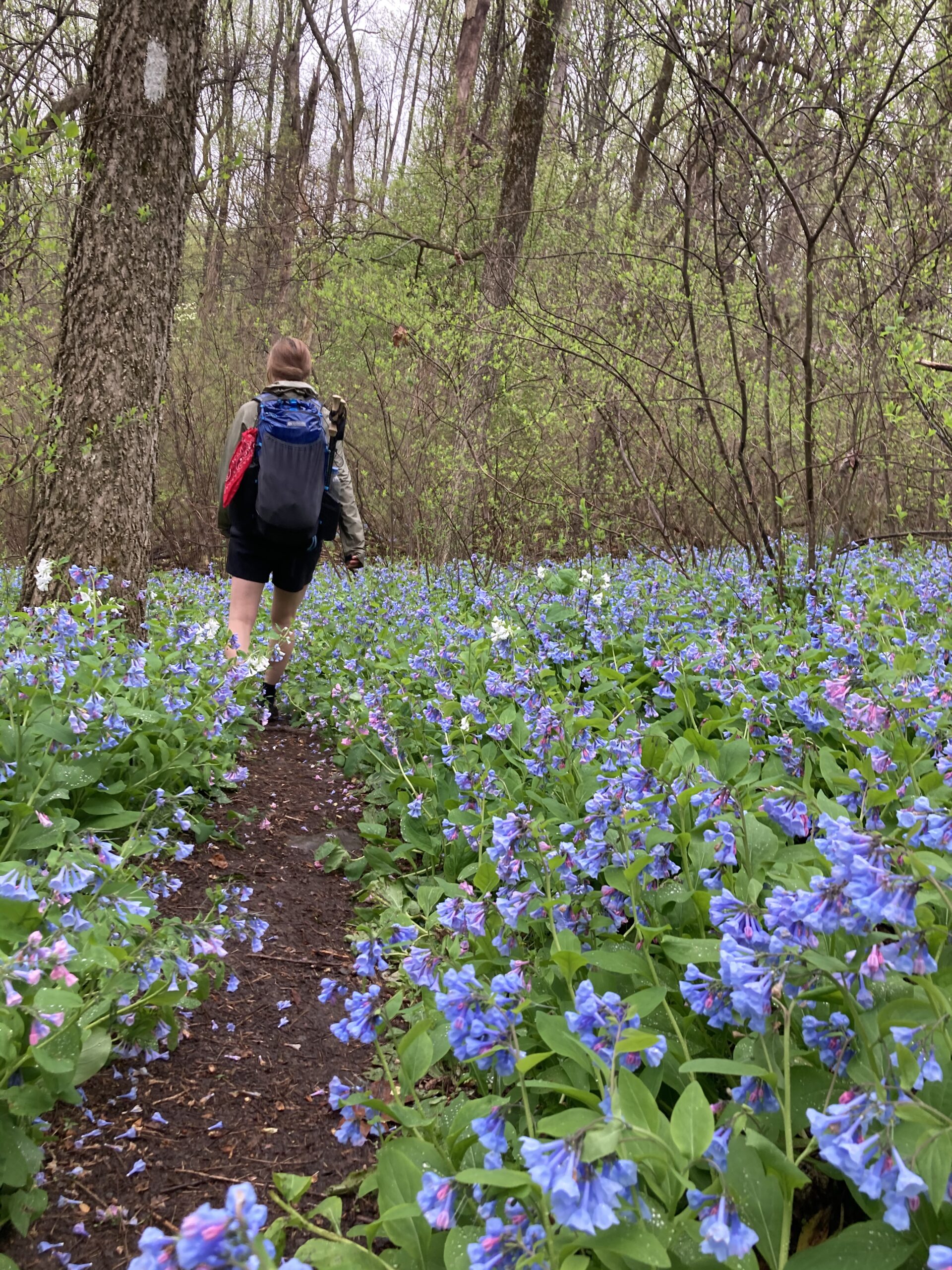
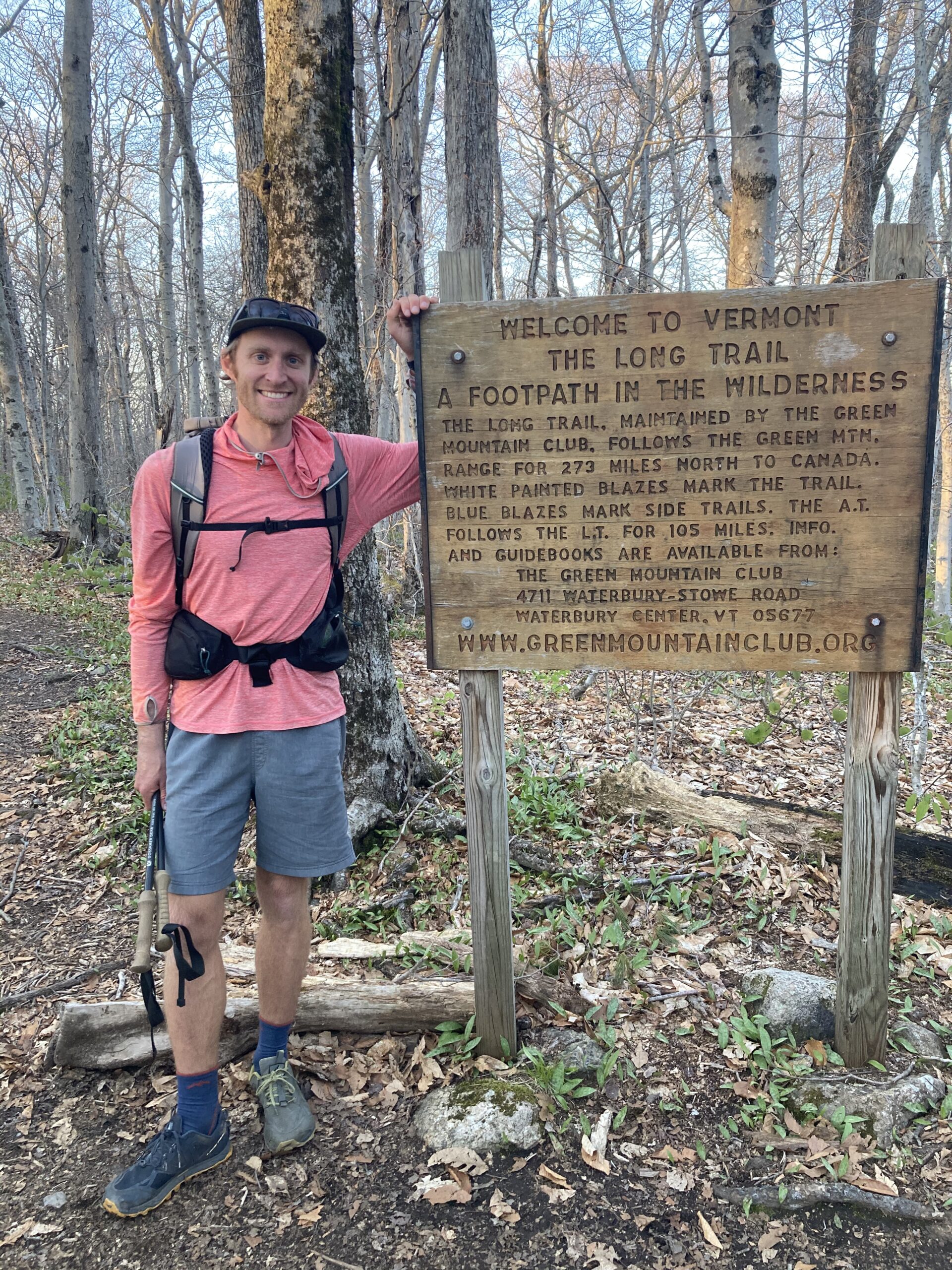
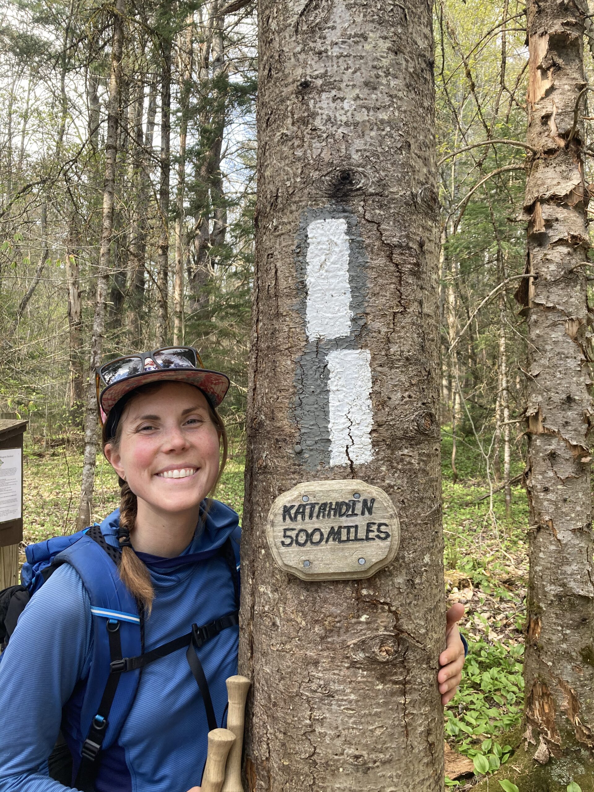
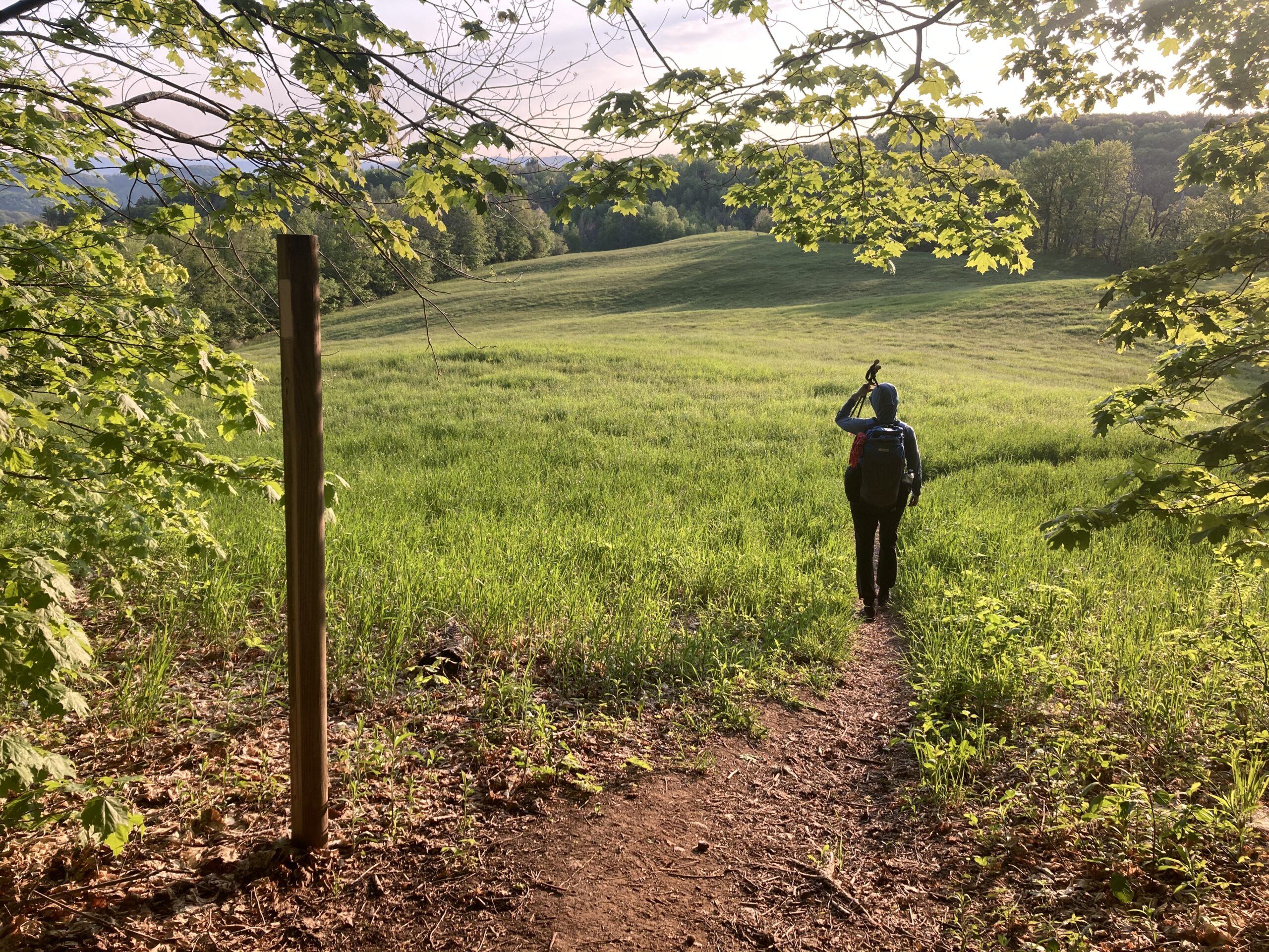
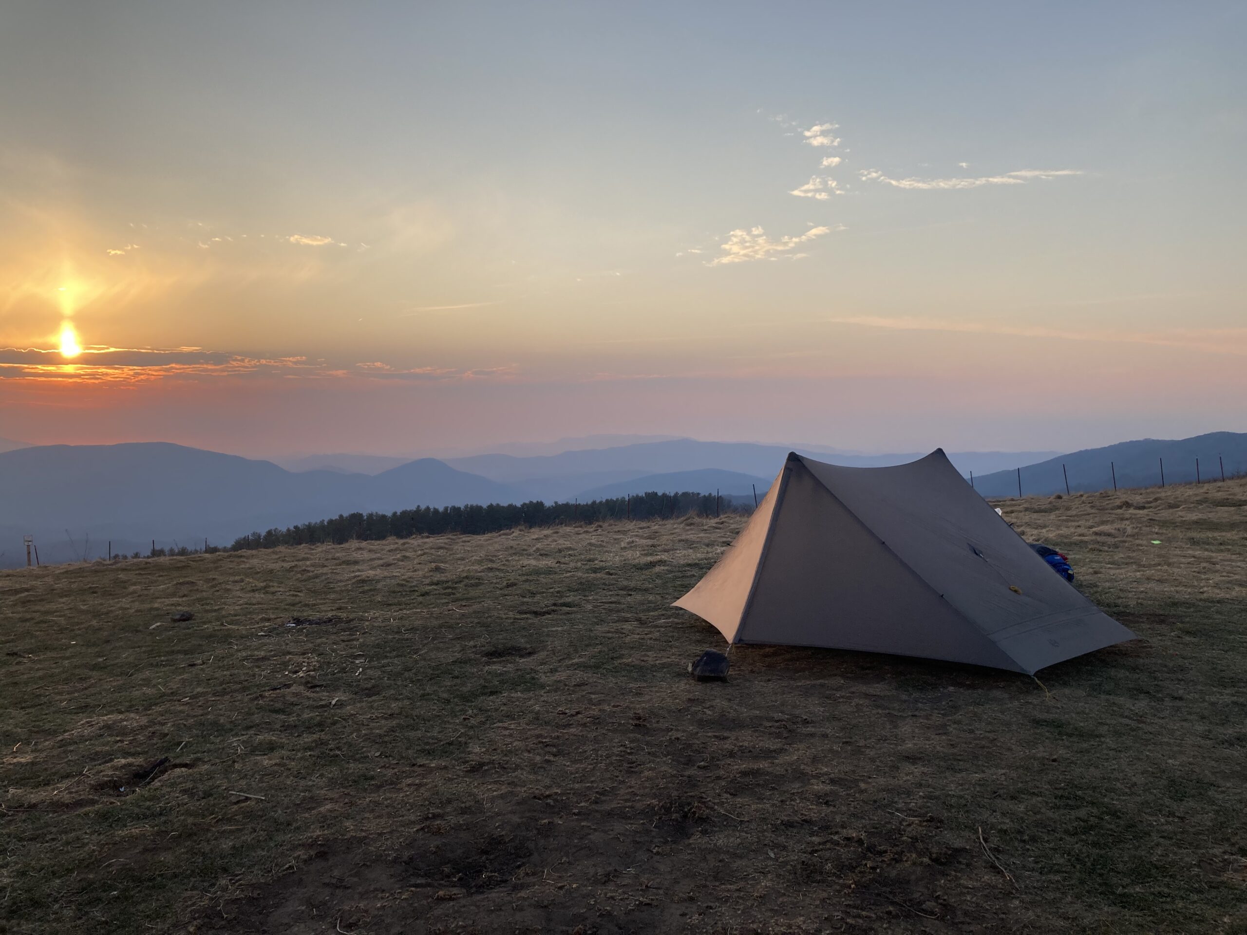
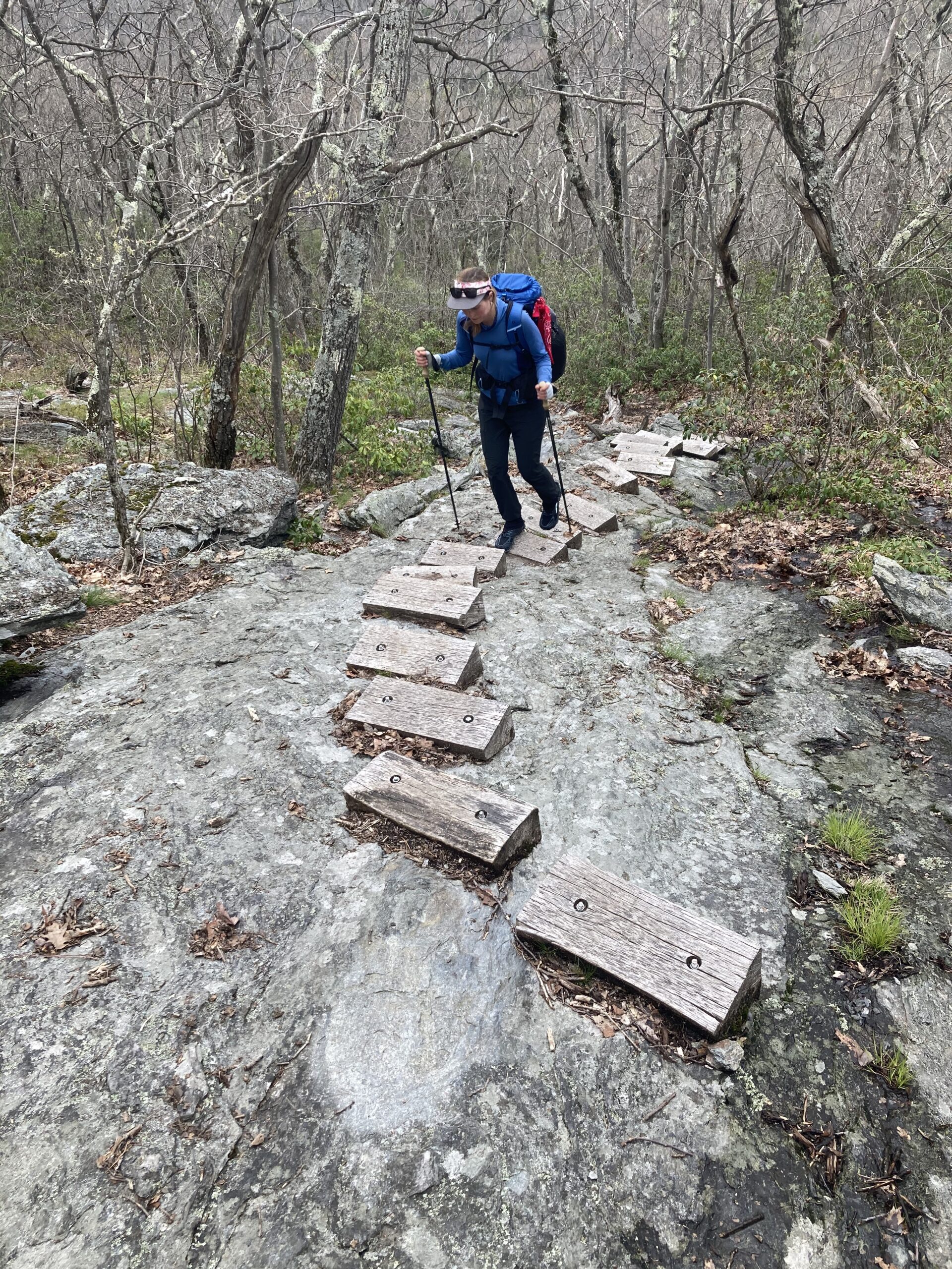
- We started the Appalachian Trail at the end of February and were moving at a fairly efficient pace. This meant that by the time we hit Virginia the change into Spring was happening and this made for beautiful flowers, scenery and an experience of watching the seasons change each day before our eyes. Not being too familiar with East Coast at all, we really appreciated the wildflowers and the general beauty of walking into Spring in the Appalachian Mountains.
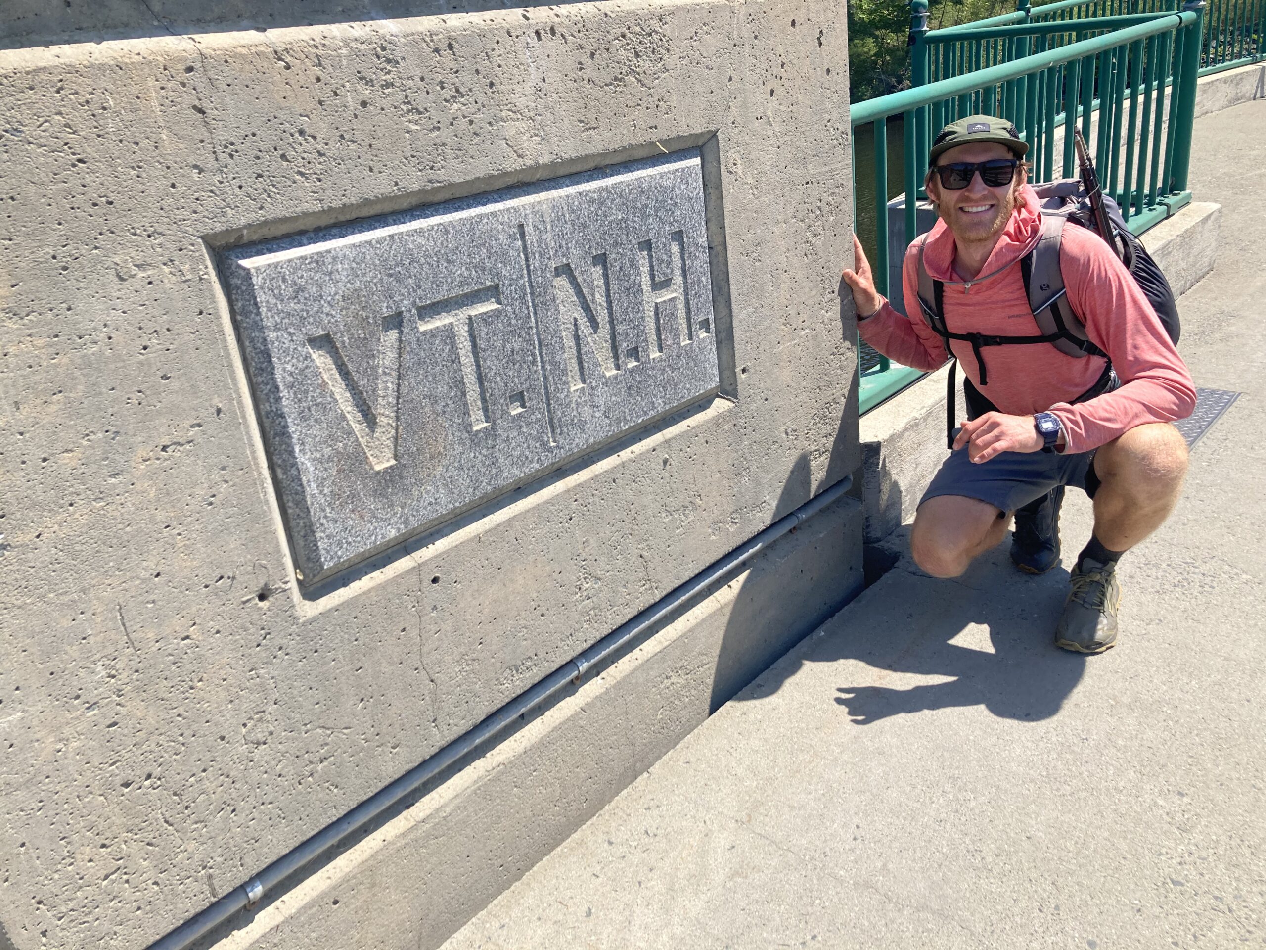
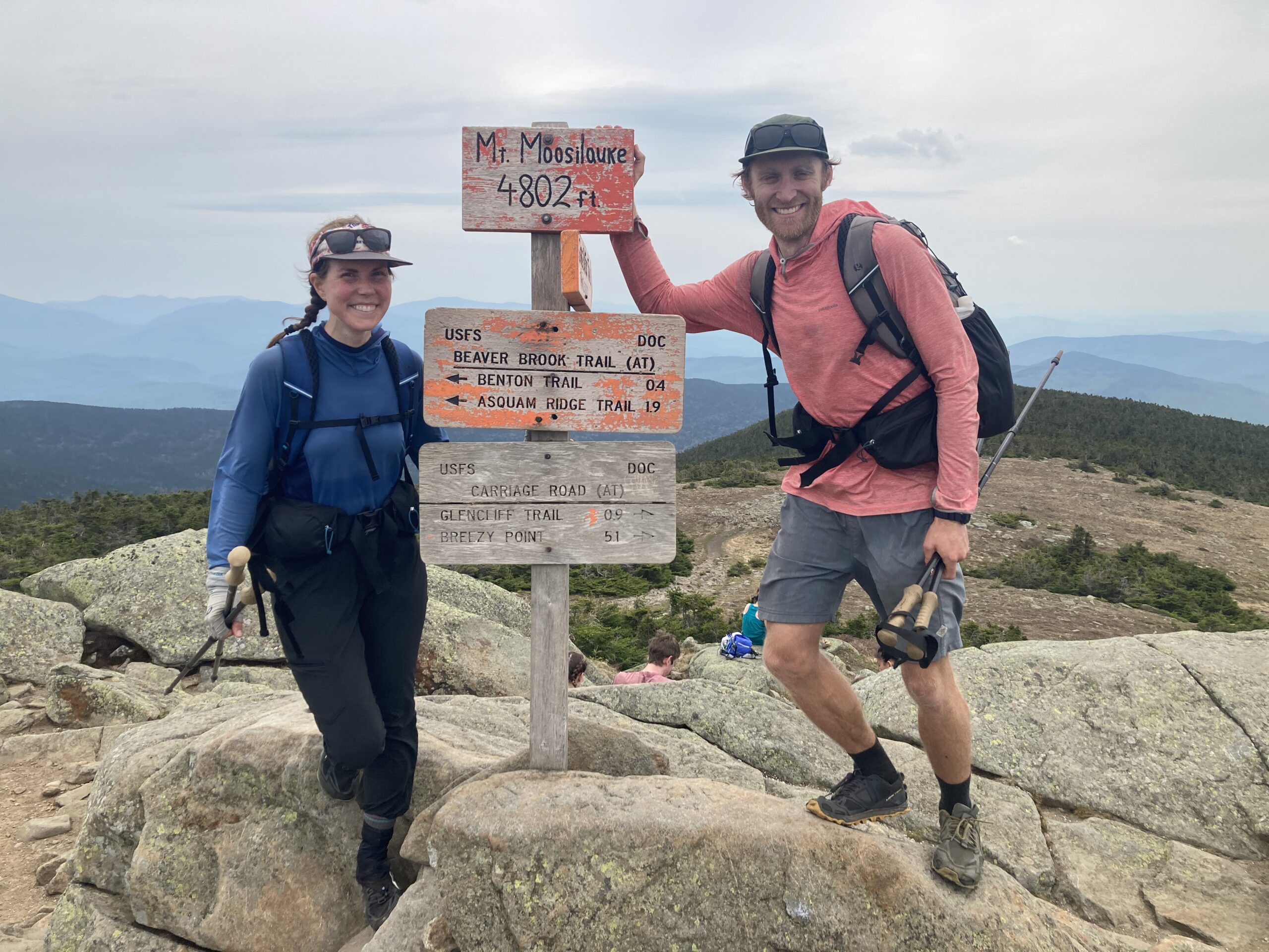
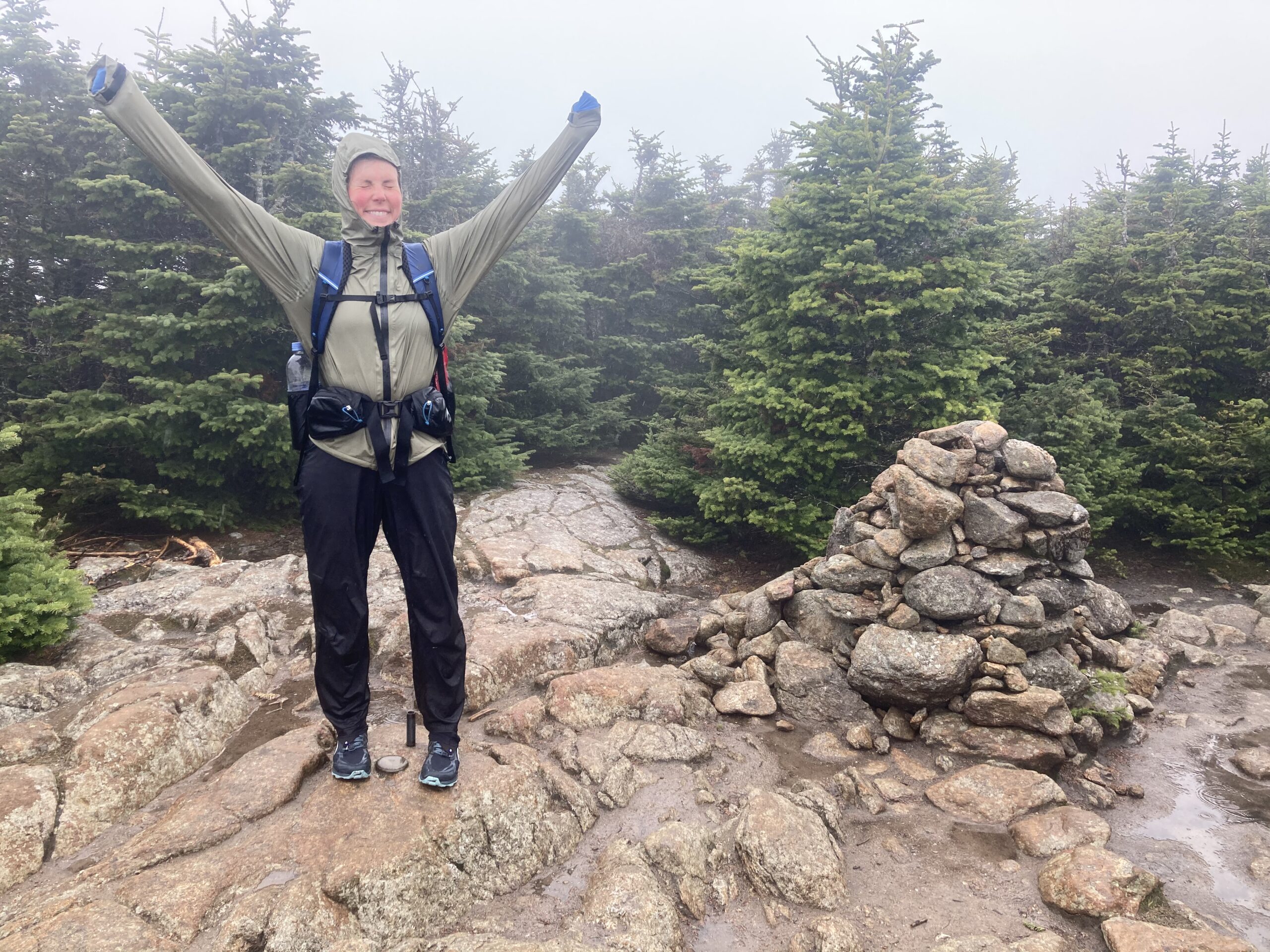
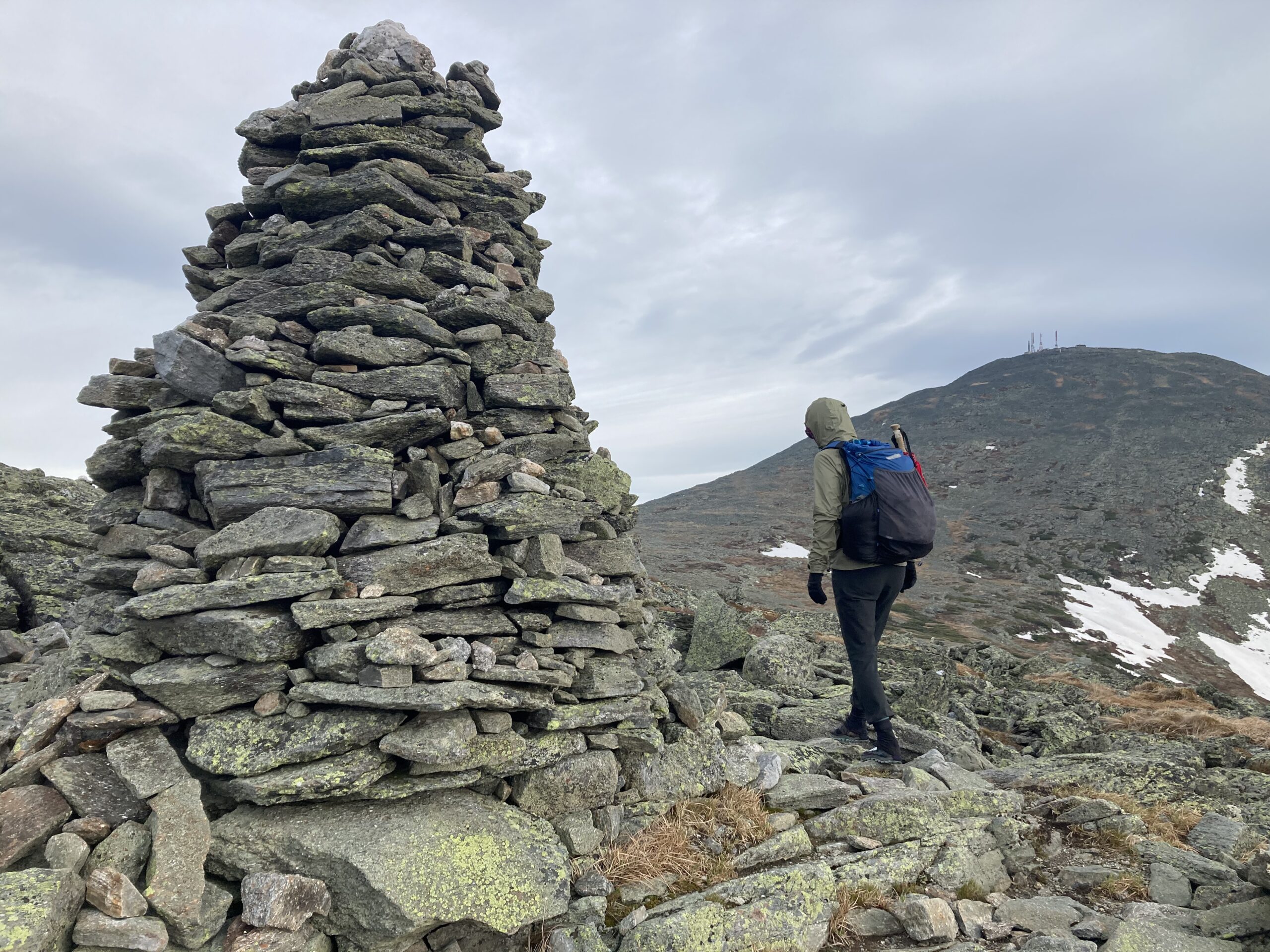
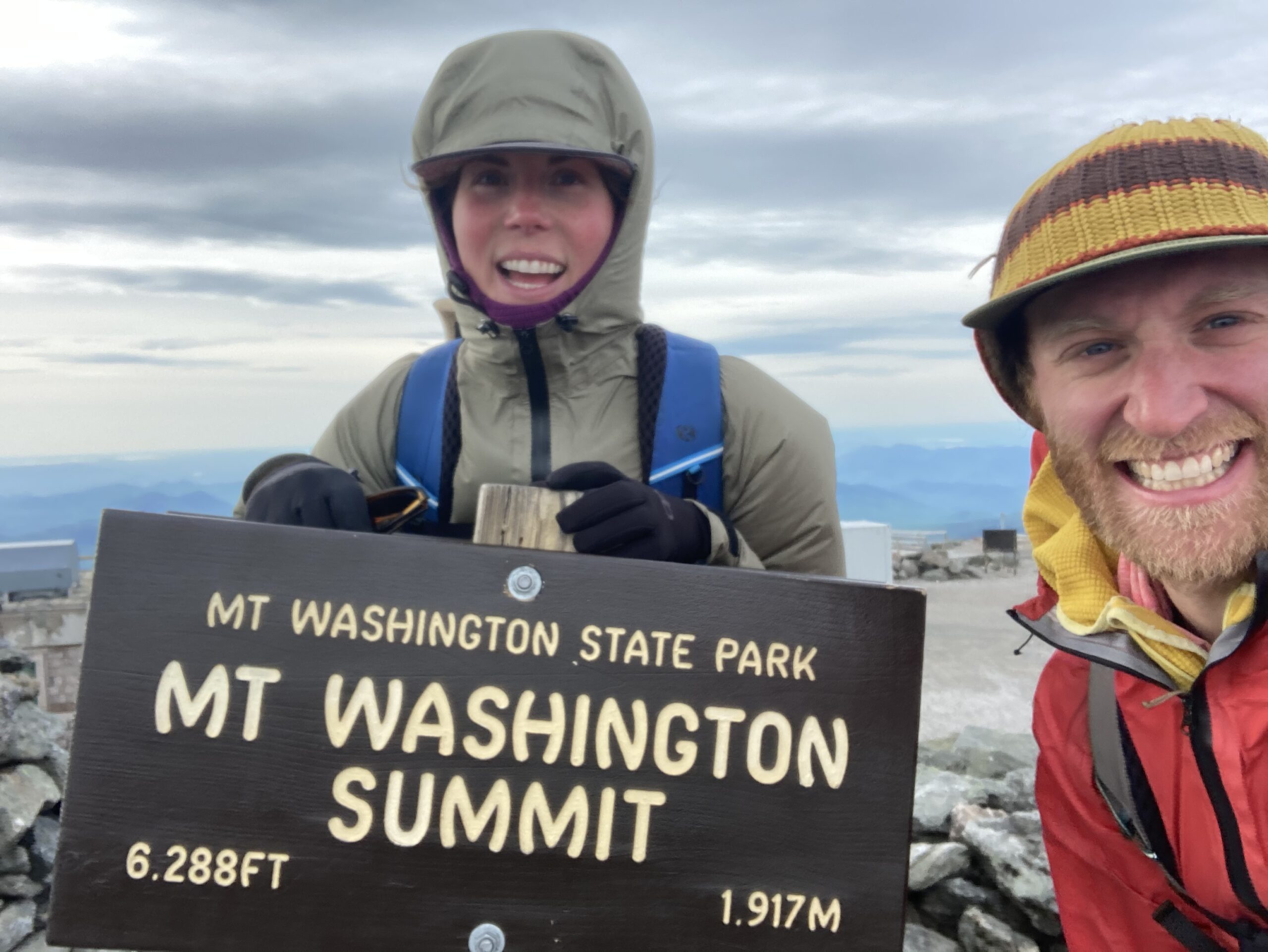
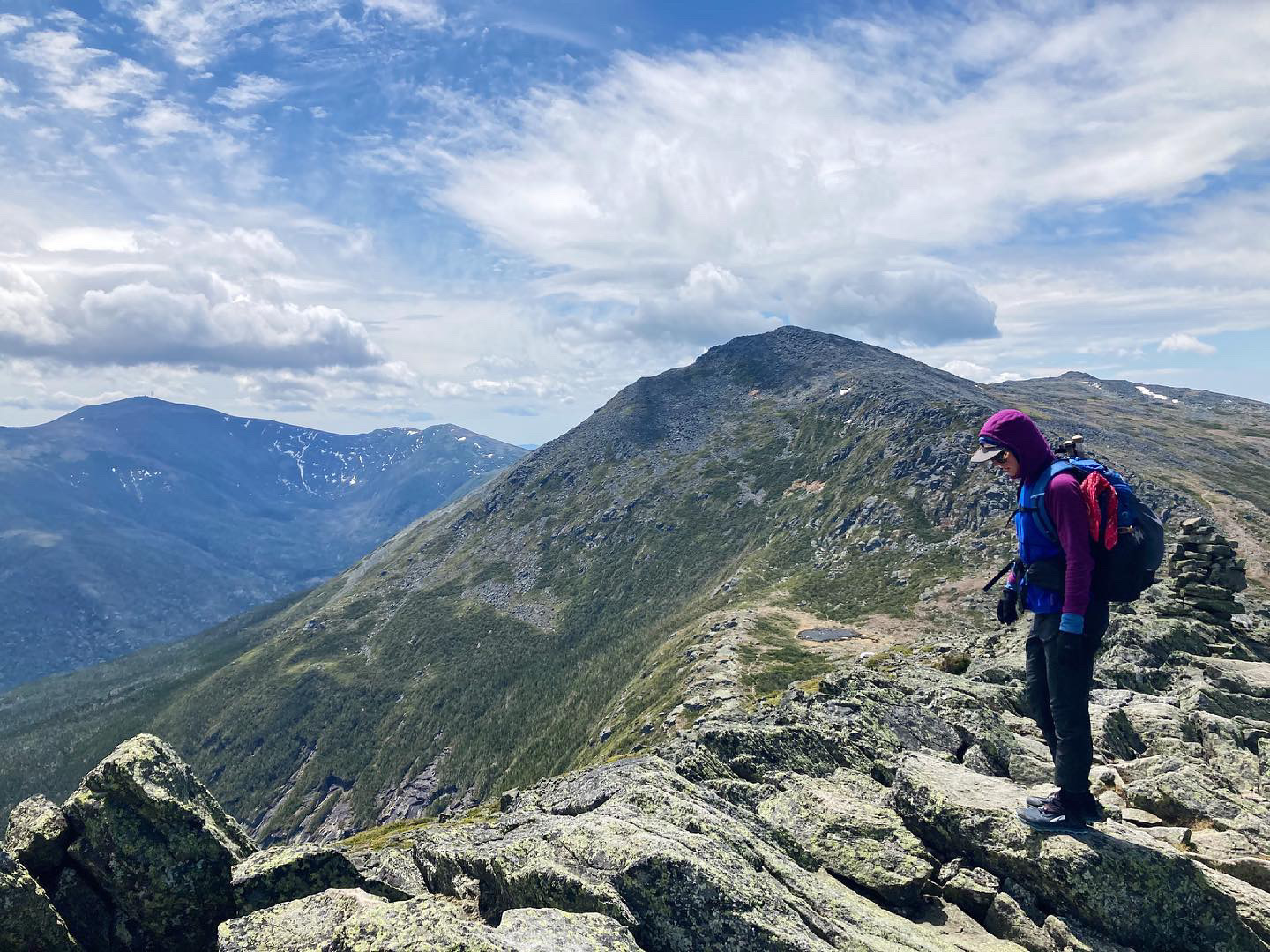
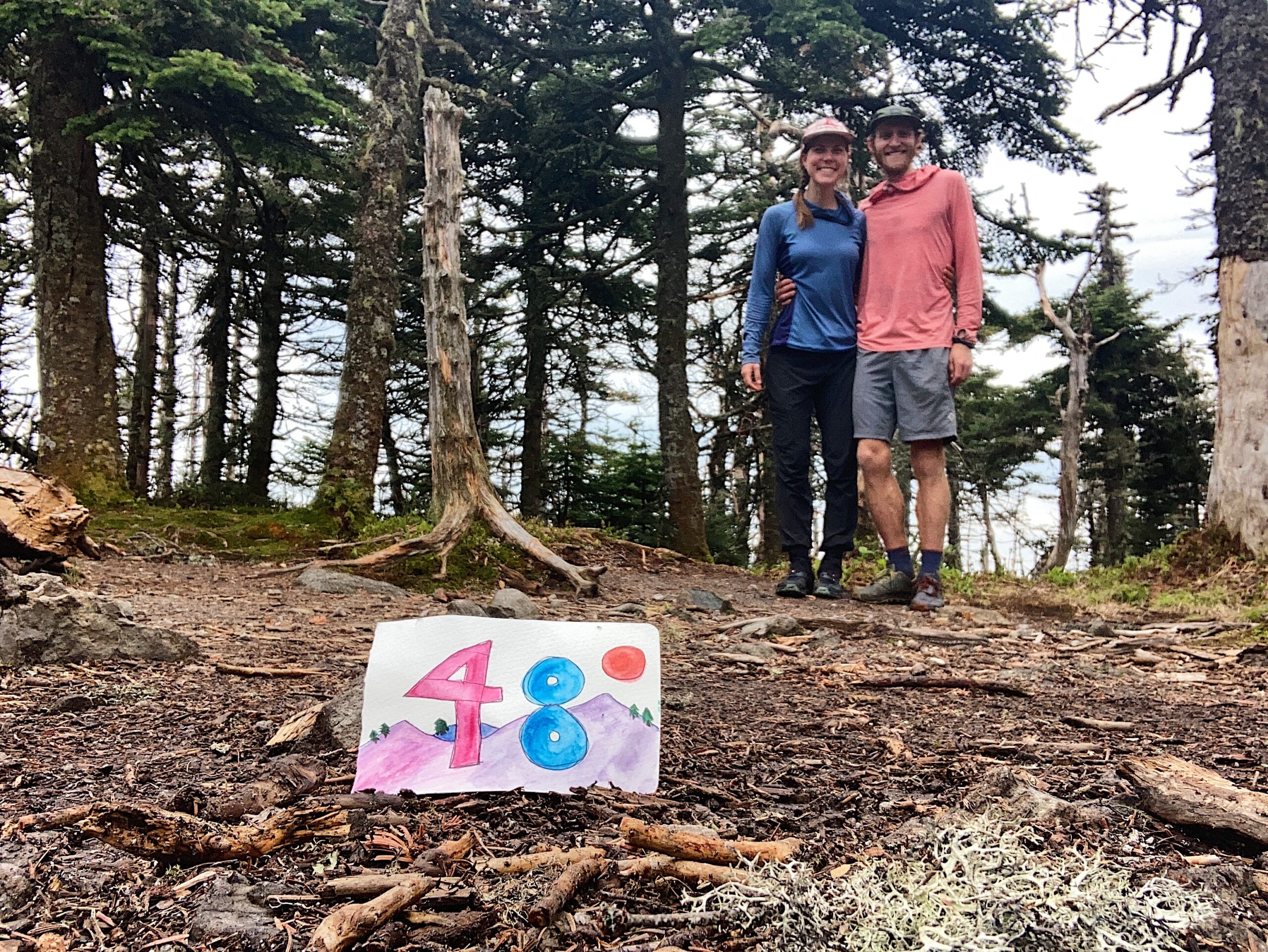
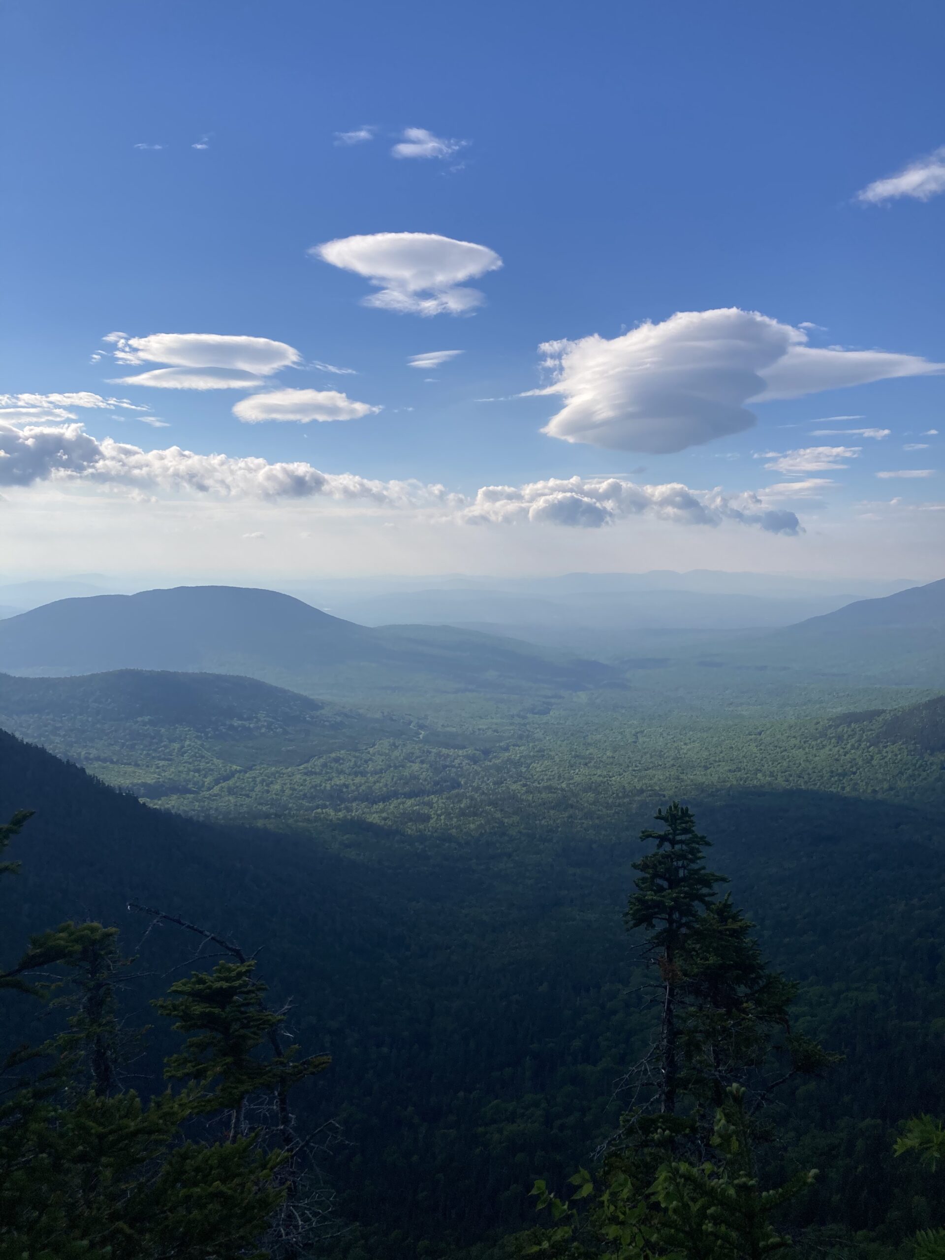
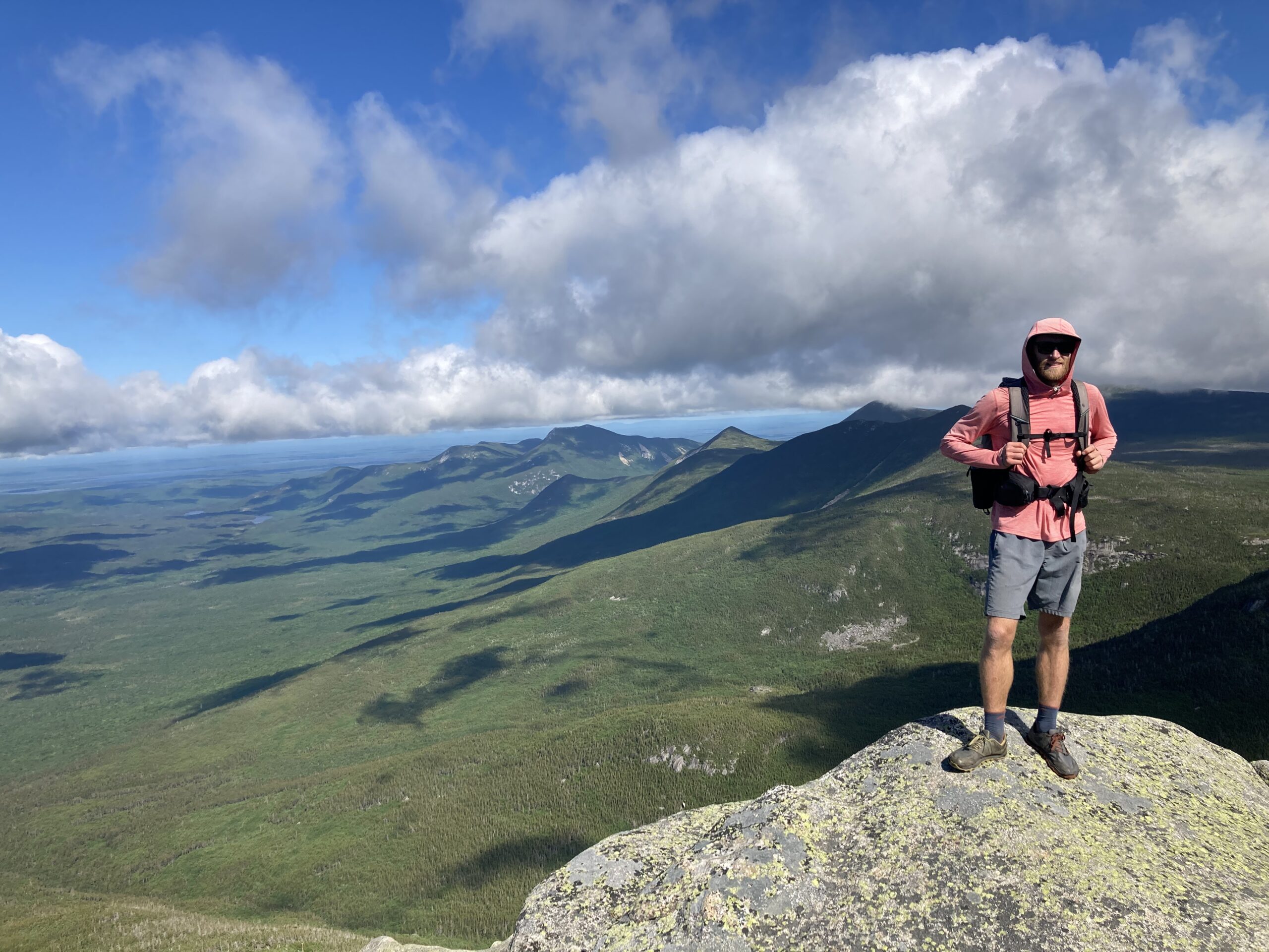
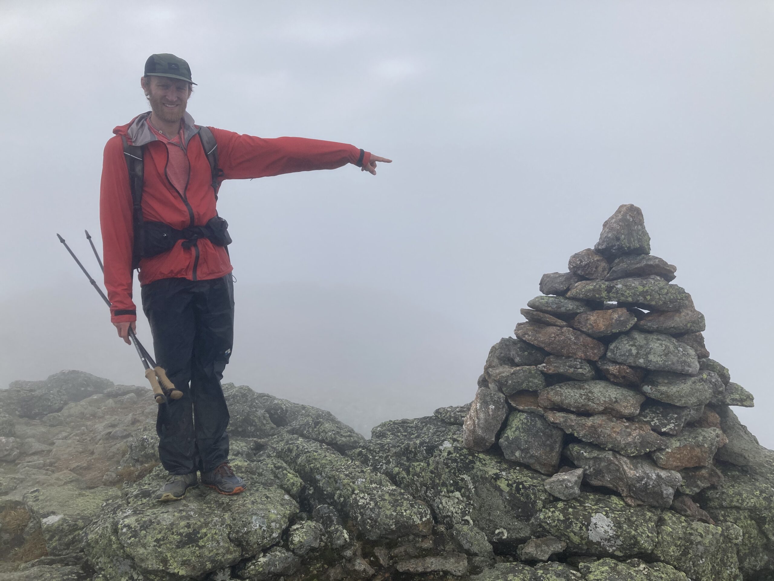
- Another major highlight of the trail was that we decided to attempt (and succesfully completed) climbing all 48 4000-foot peaks in the White Mountains of New Hampshire. We deviated from the trail in the White Mountains and linked together all the peaks, resupplying in North Conway with a family member along the way and making our way to all the high points in about a 10 day timeframe. We were amazed at our own perseverance to complete this endeavor. You can read more about how we did this here!
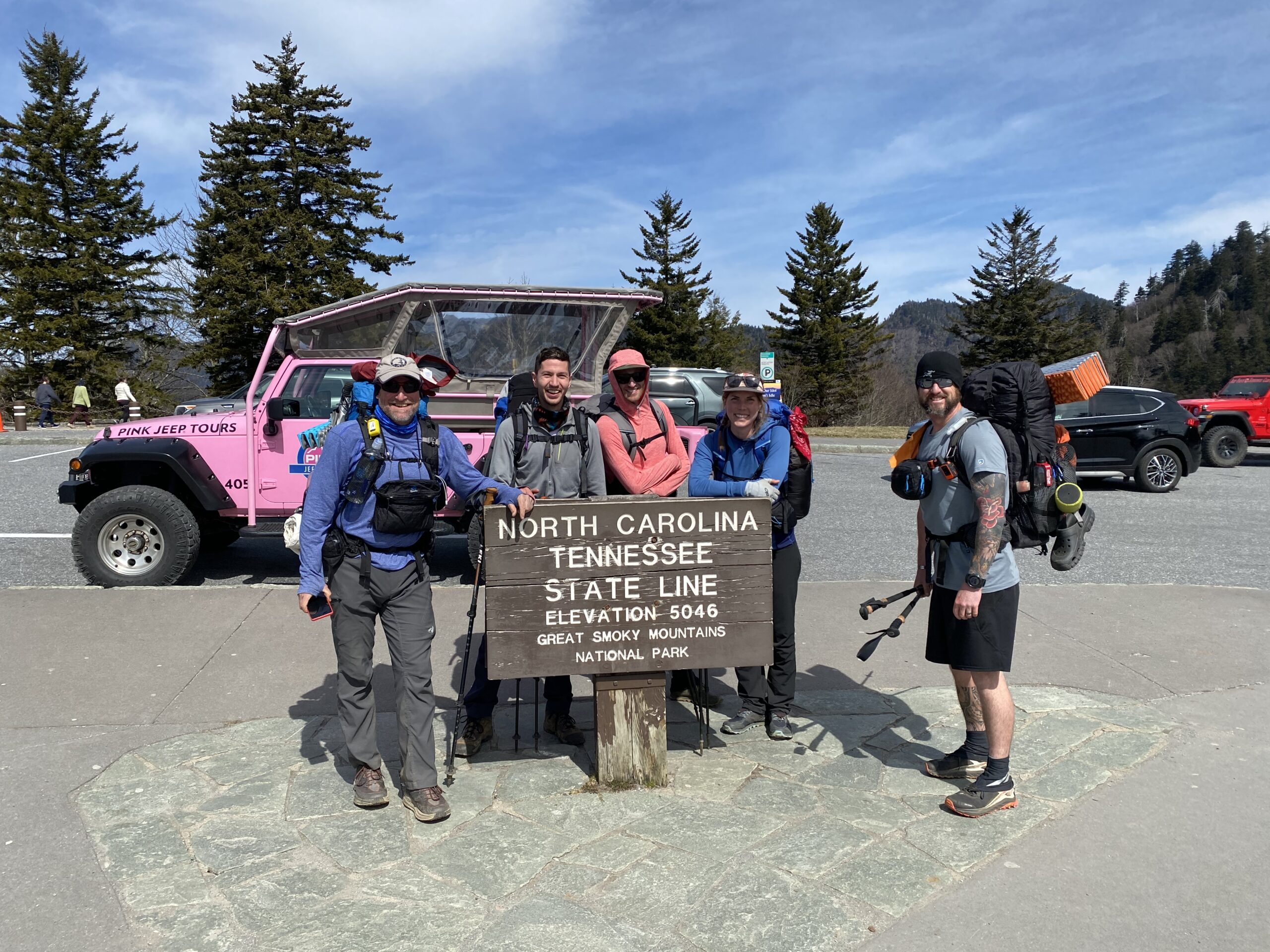
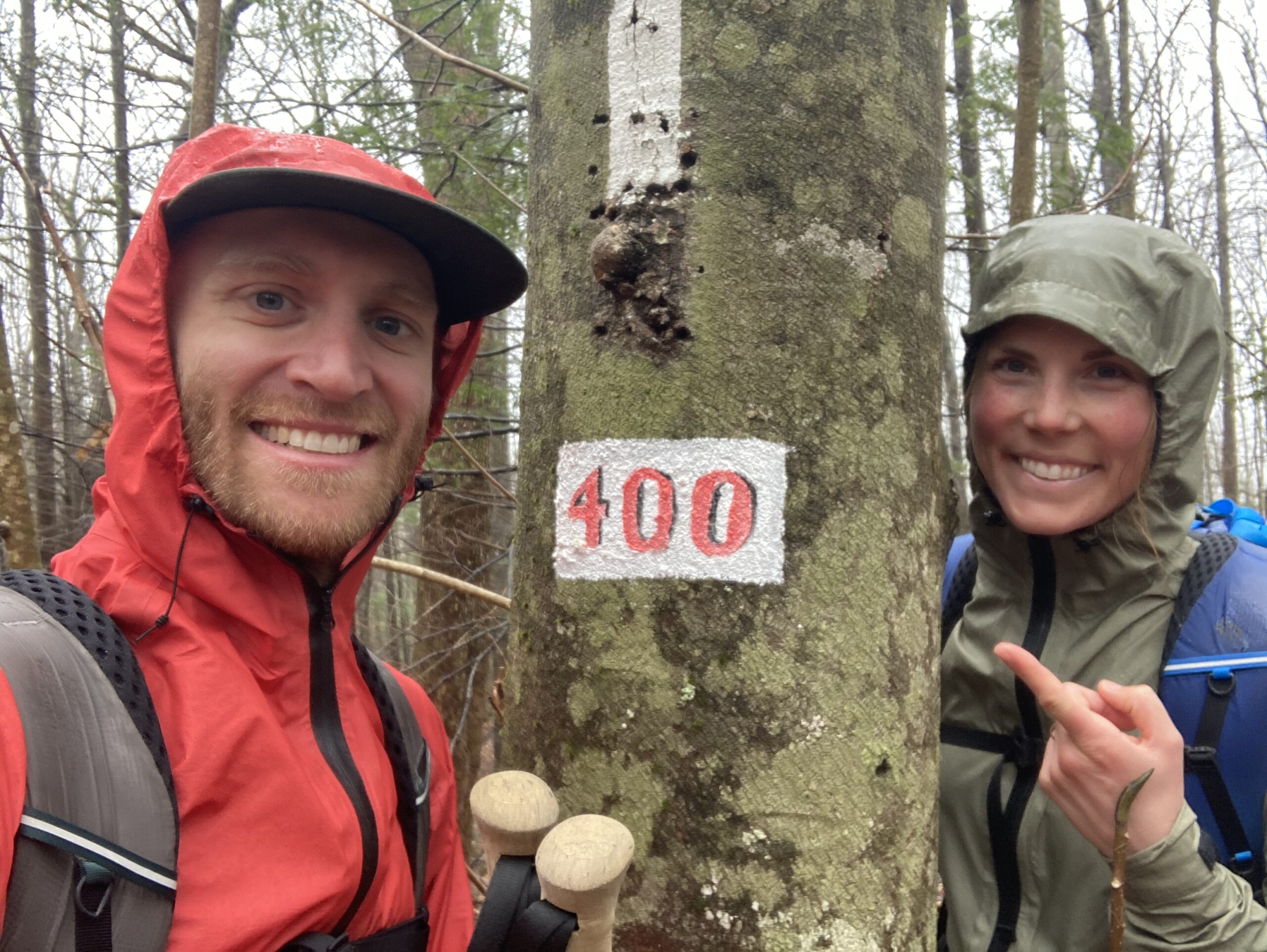
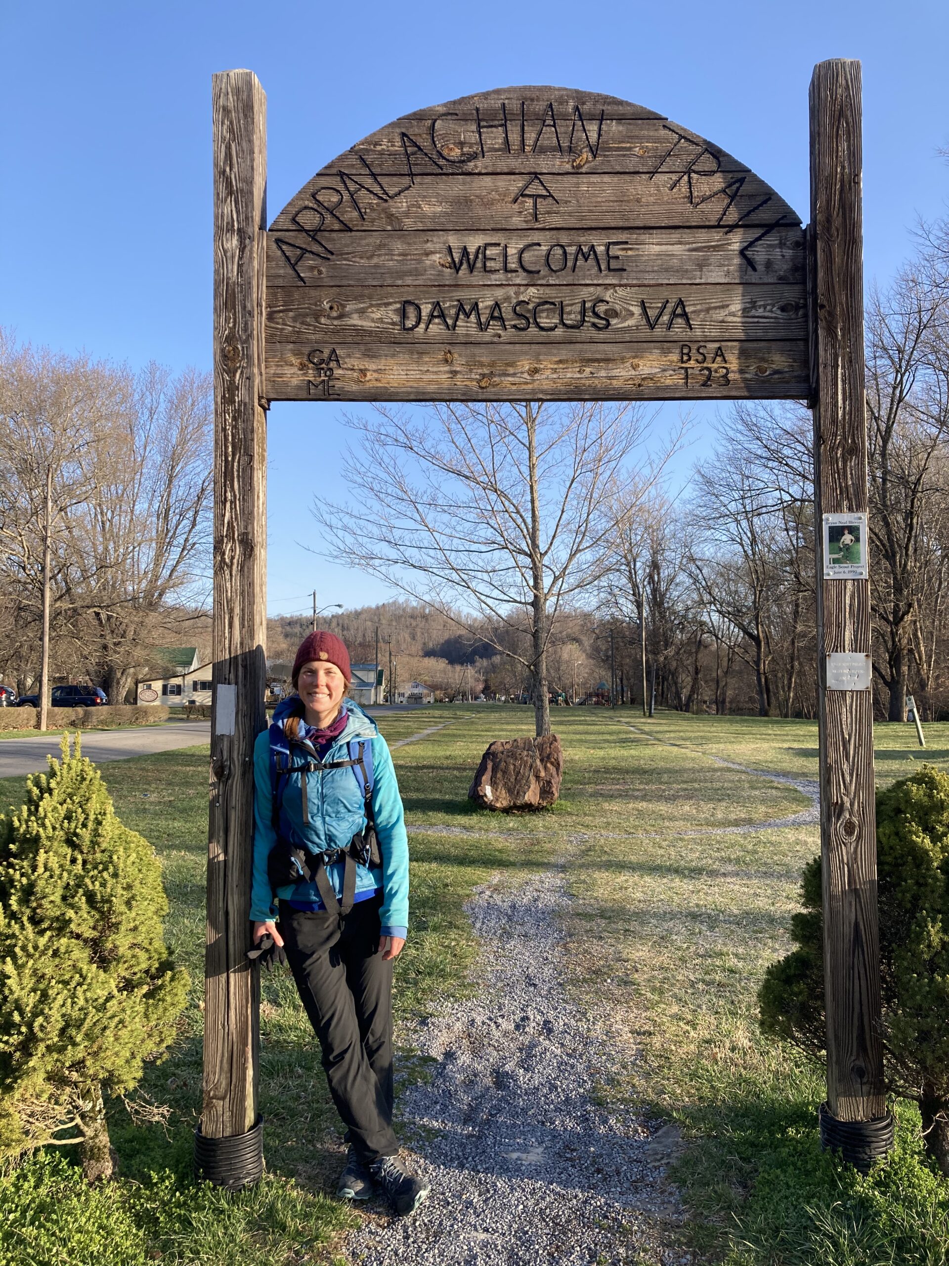
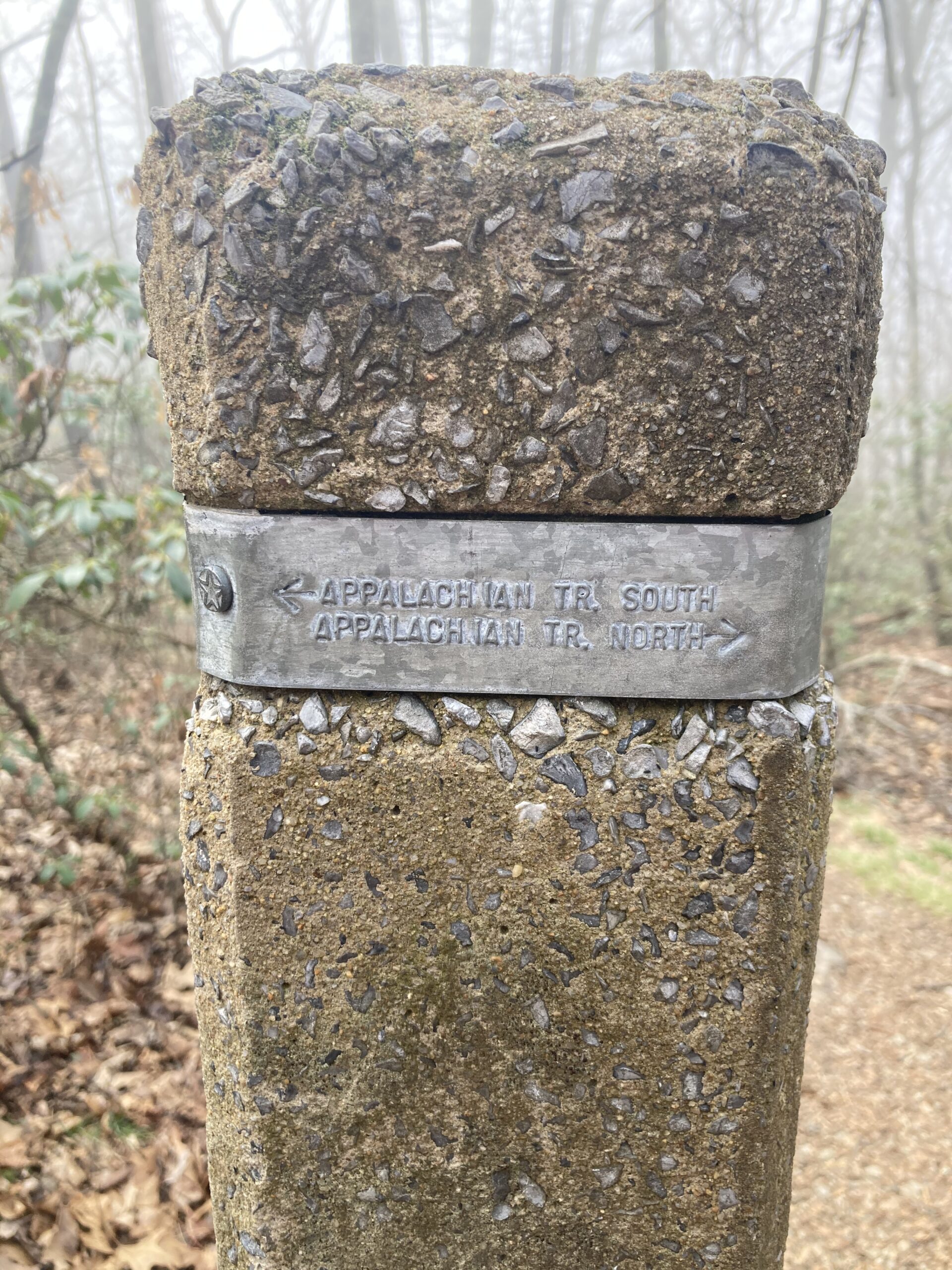
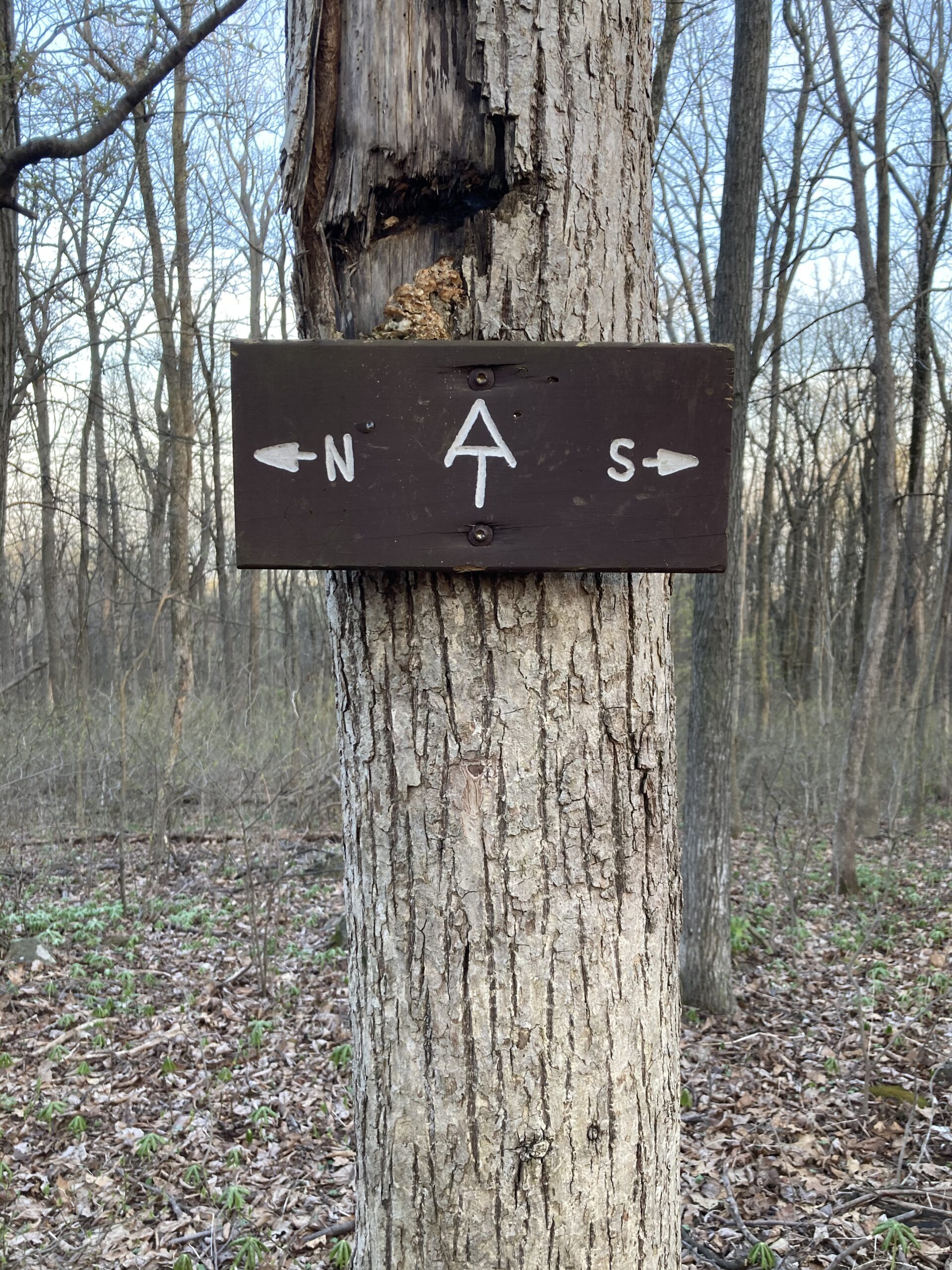
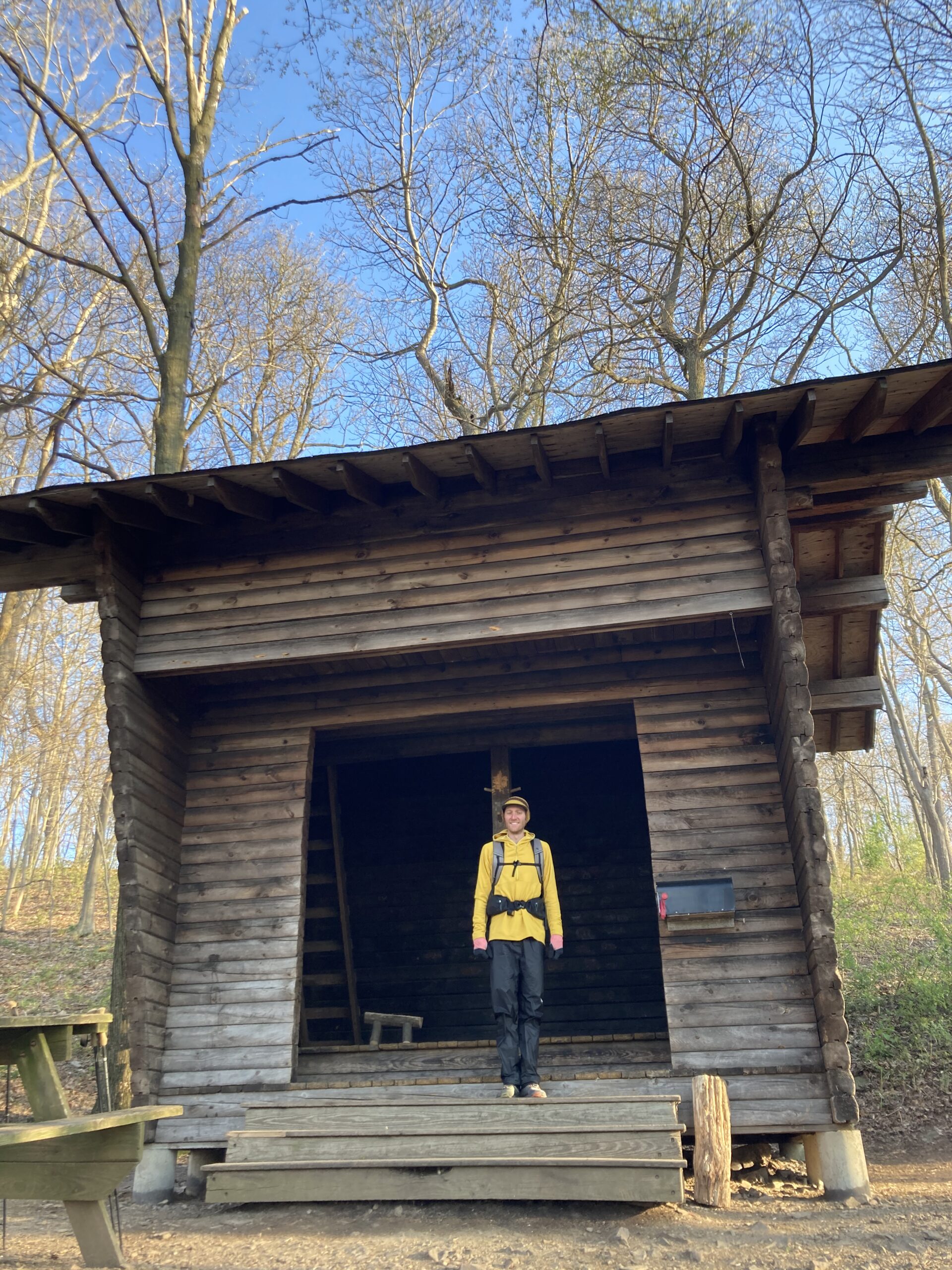
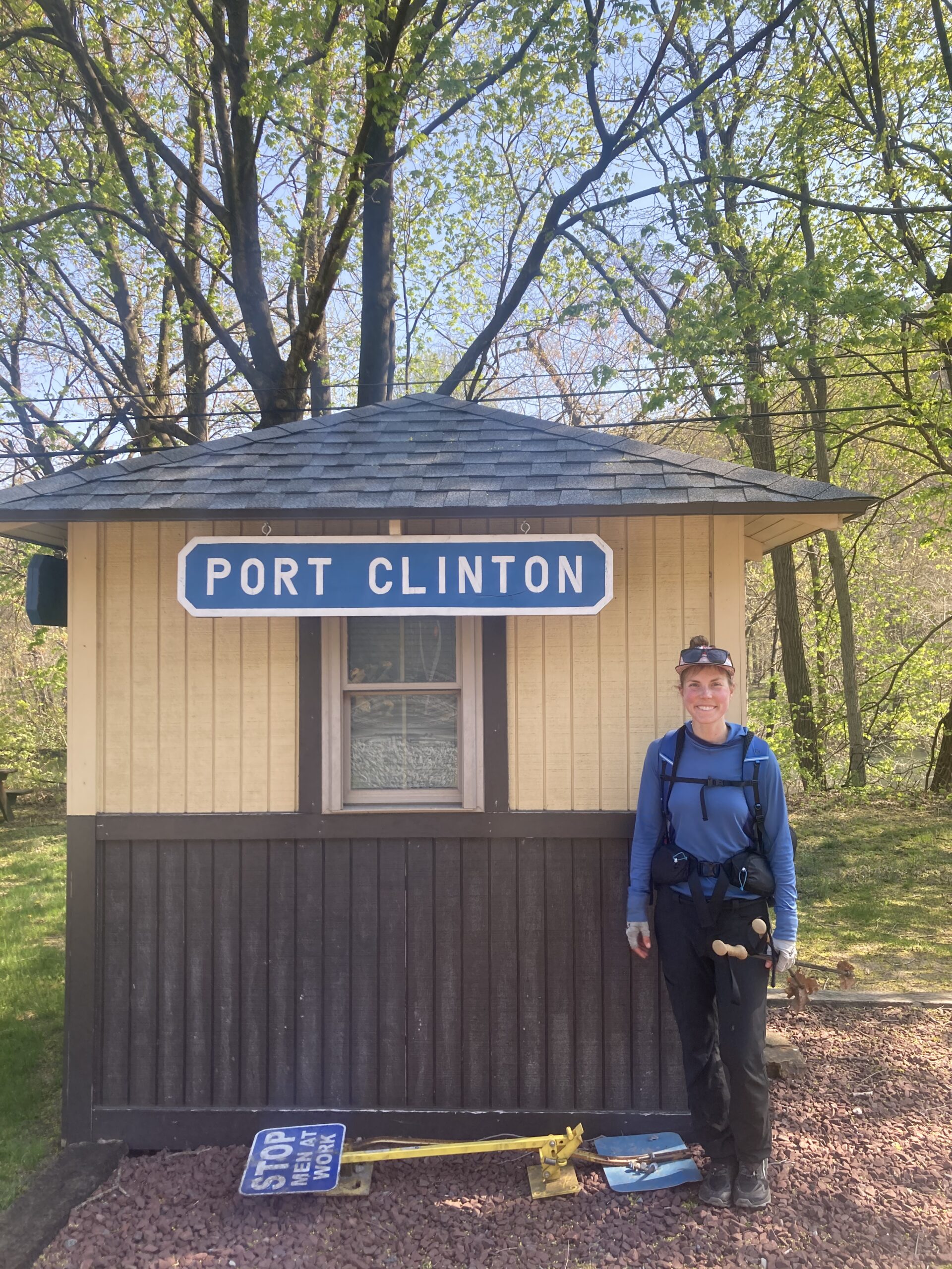
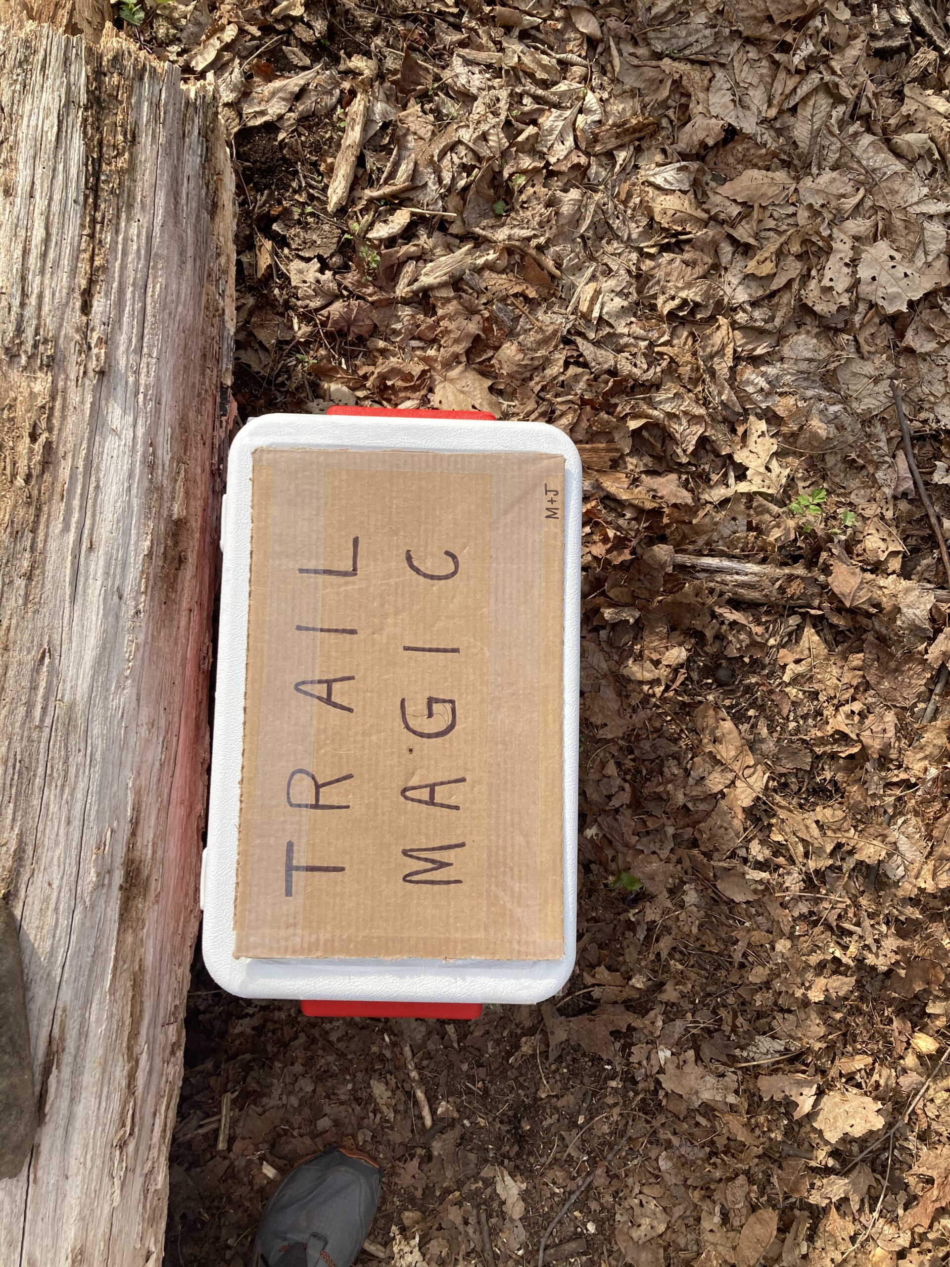
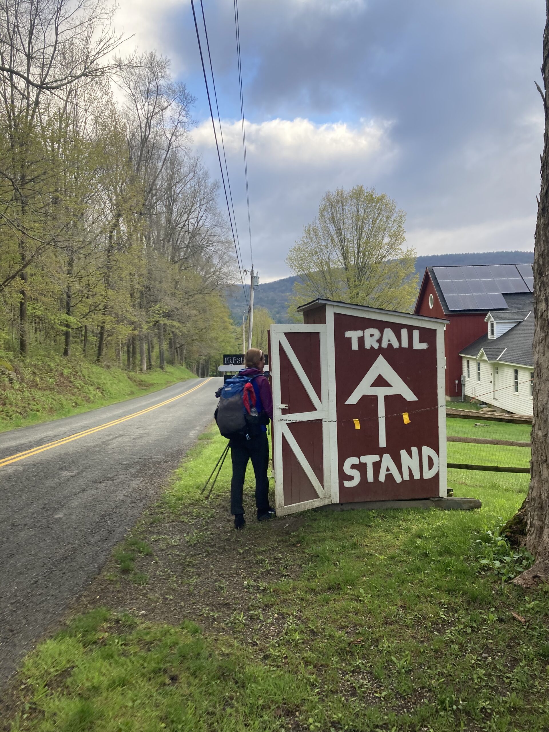
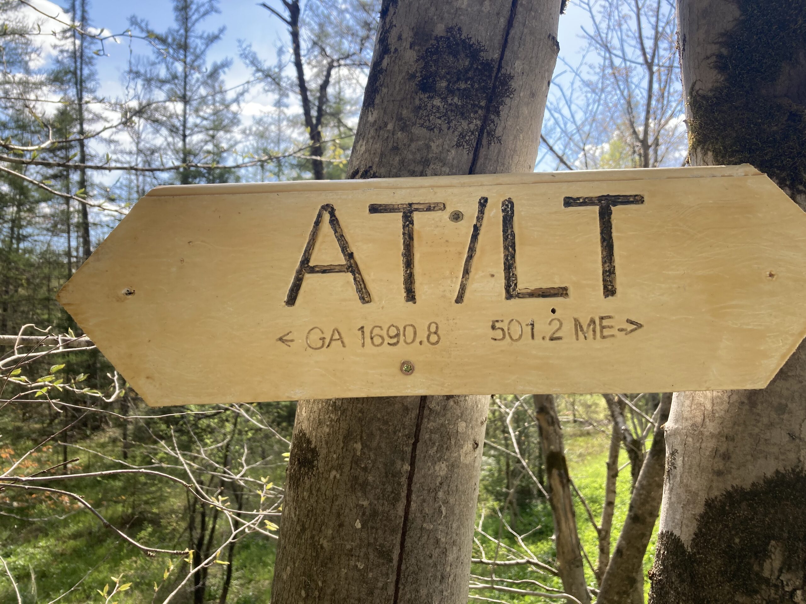
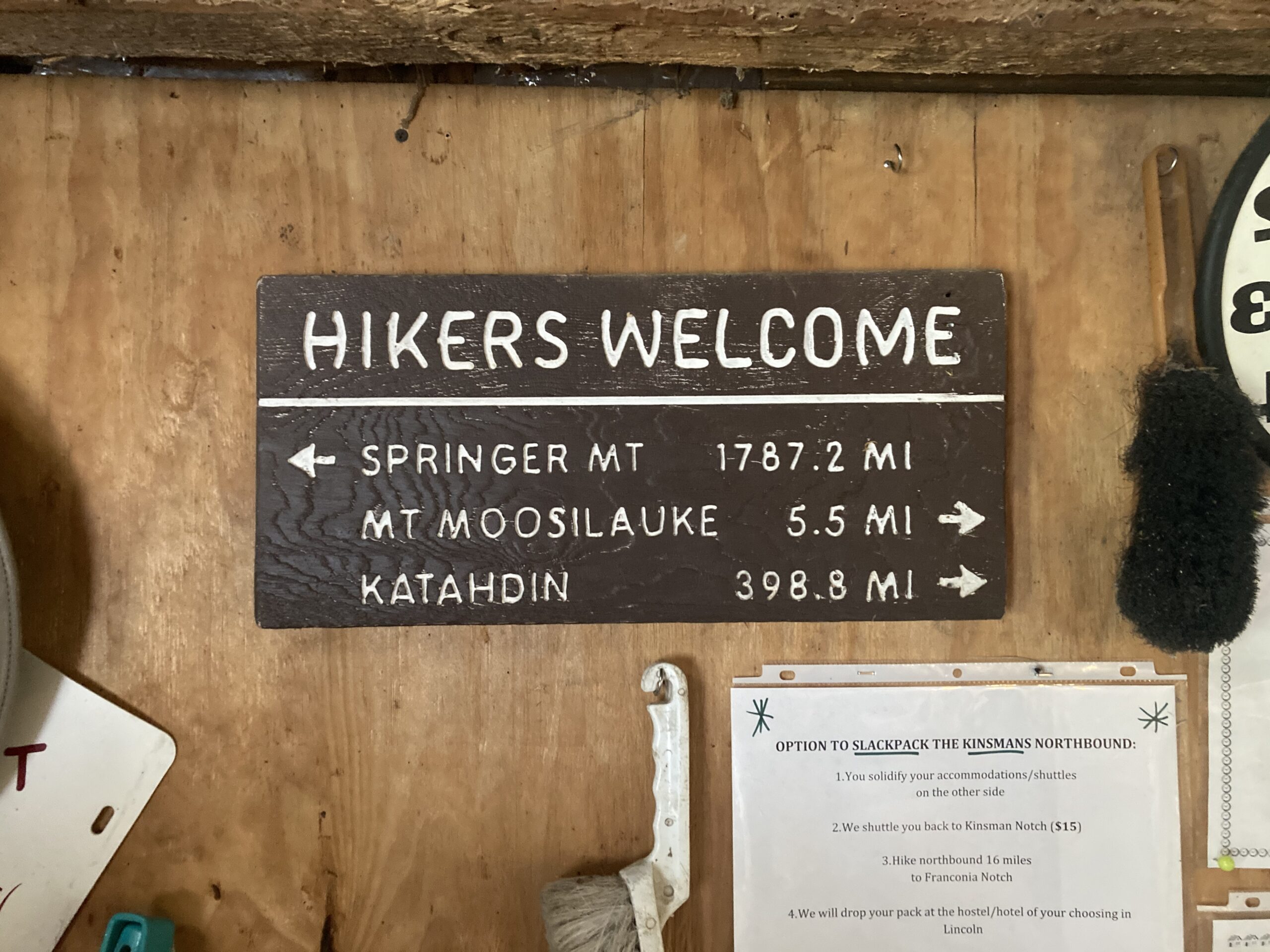
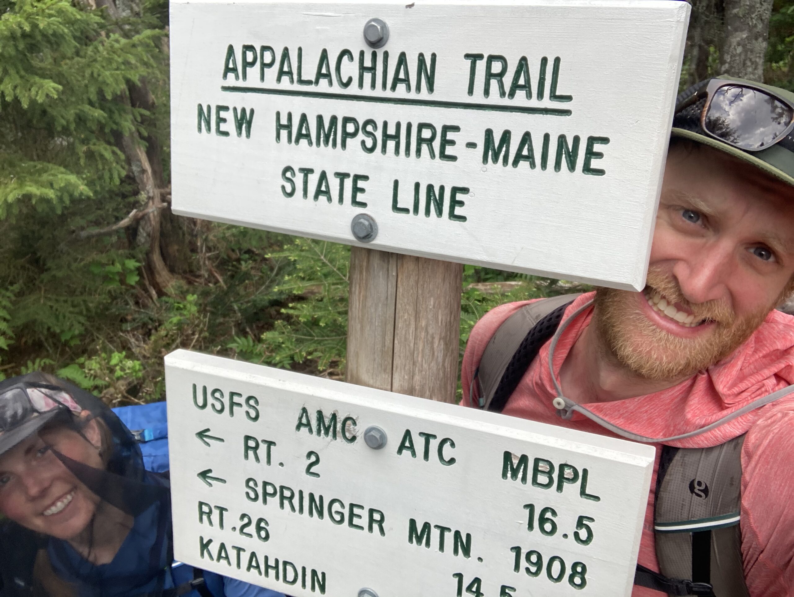
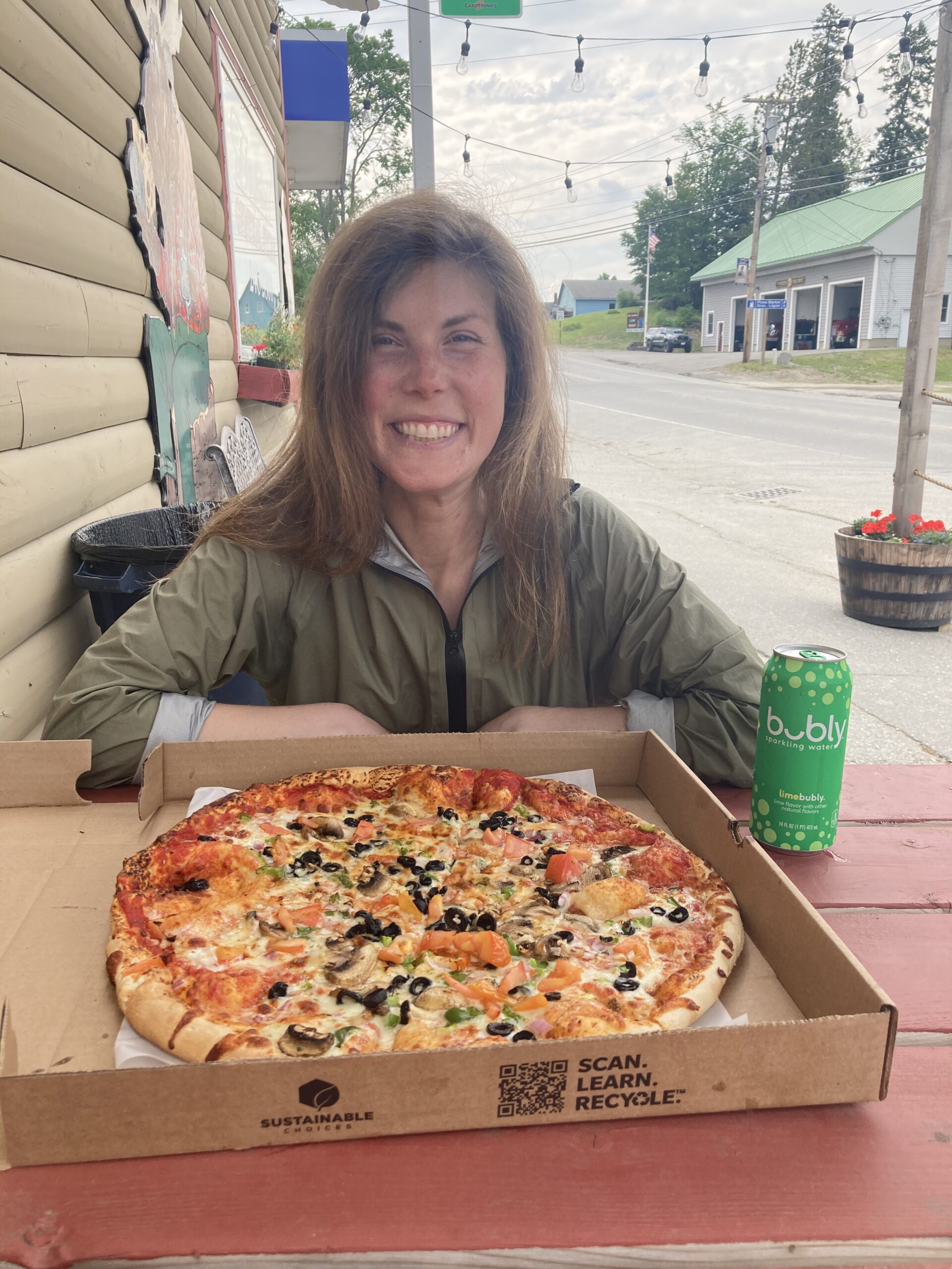
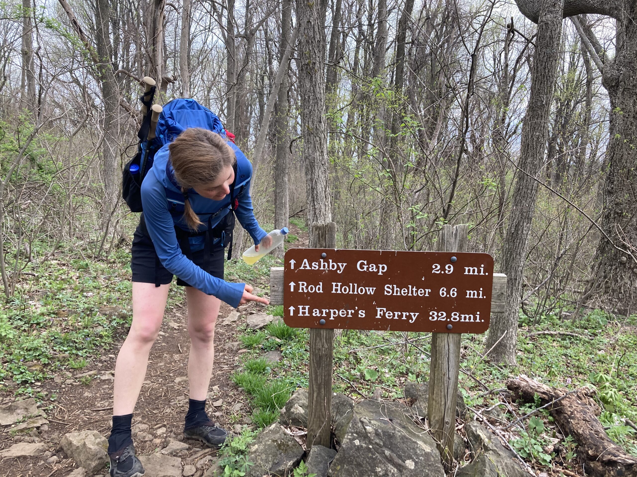
- One of the biggest highlights of the AT was the general infrastructure and community that the trail has created. It was amazing to meet shuttle drivers, hostel owners, restaraunt owners and folks doing trail magic along the trail all in service of the hikers and the idea of this footpath running over 2,000 miles. We were blown away by how well it was marked and the number of shelters along the way. It was apparent that the trail holds a deep history and that generations of people and communities have made it a goal to maintain the nature corridor so people can have a unique, challenging and fulfilling experience.
Low Moments
-
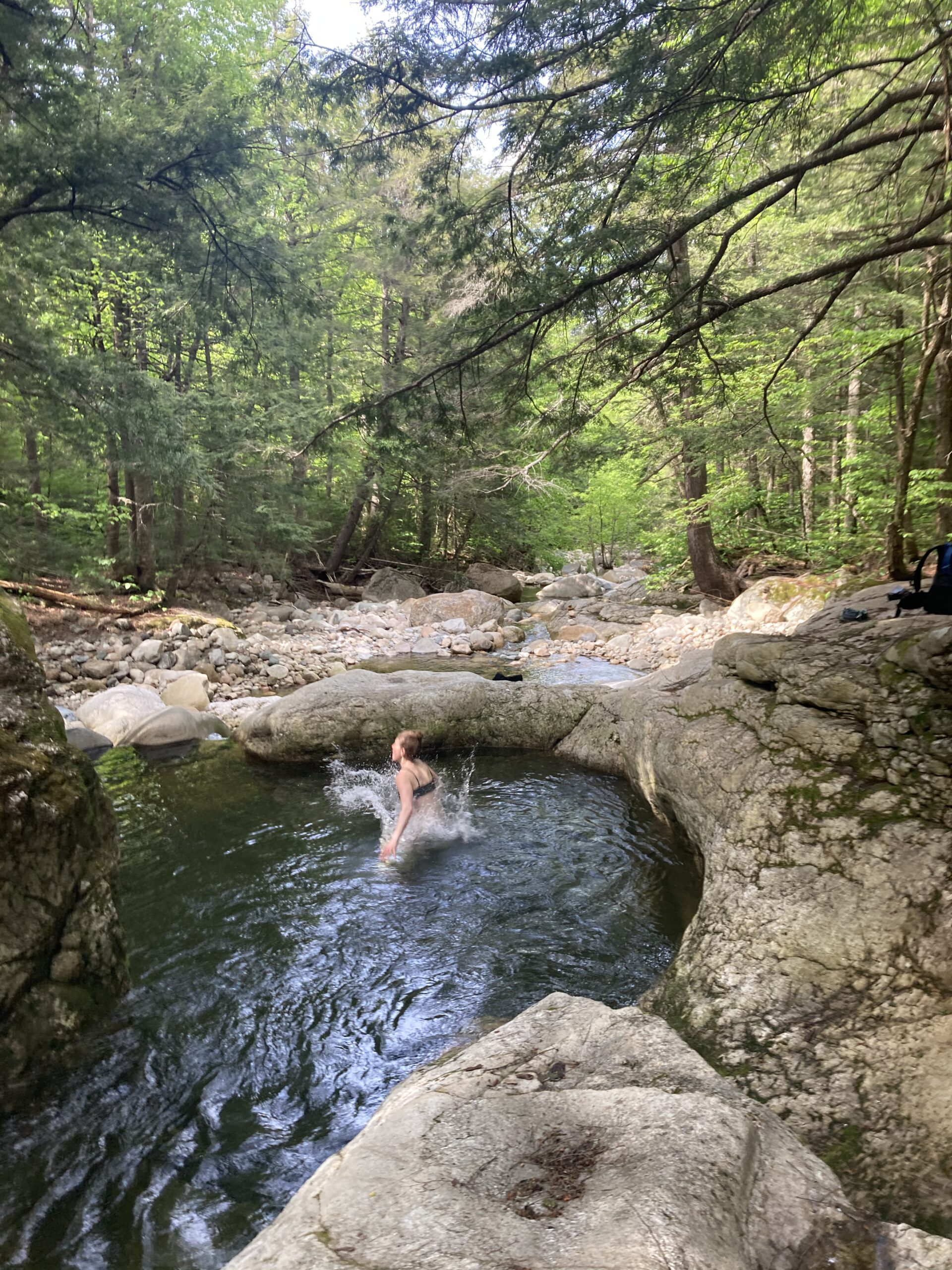
- Ticks! When we hit the Mid-Atlantic it was getting pretty warm and the ticks were out in full force. We were definitely grossed out, scared and hyper aware of all the ticks in this region. We did constant tick checks and were grateful to have a shelter that had a bug net, as we often observed ticks crawling up the mesh from inside of our shelter.Thankfully we only found a few ticks on us that had started embedding themselves in our skin and were able to remove the within a few minutes. Makes me cringe even just writing this!!!
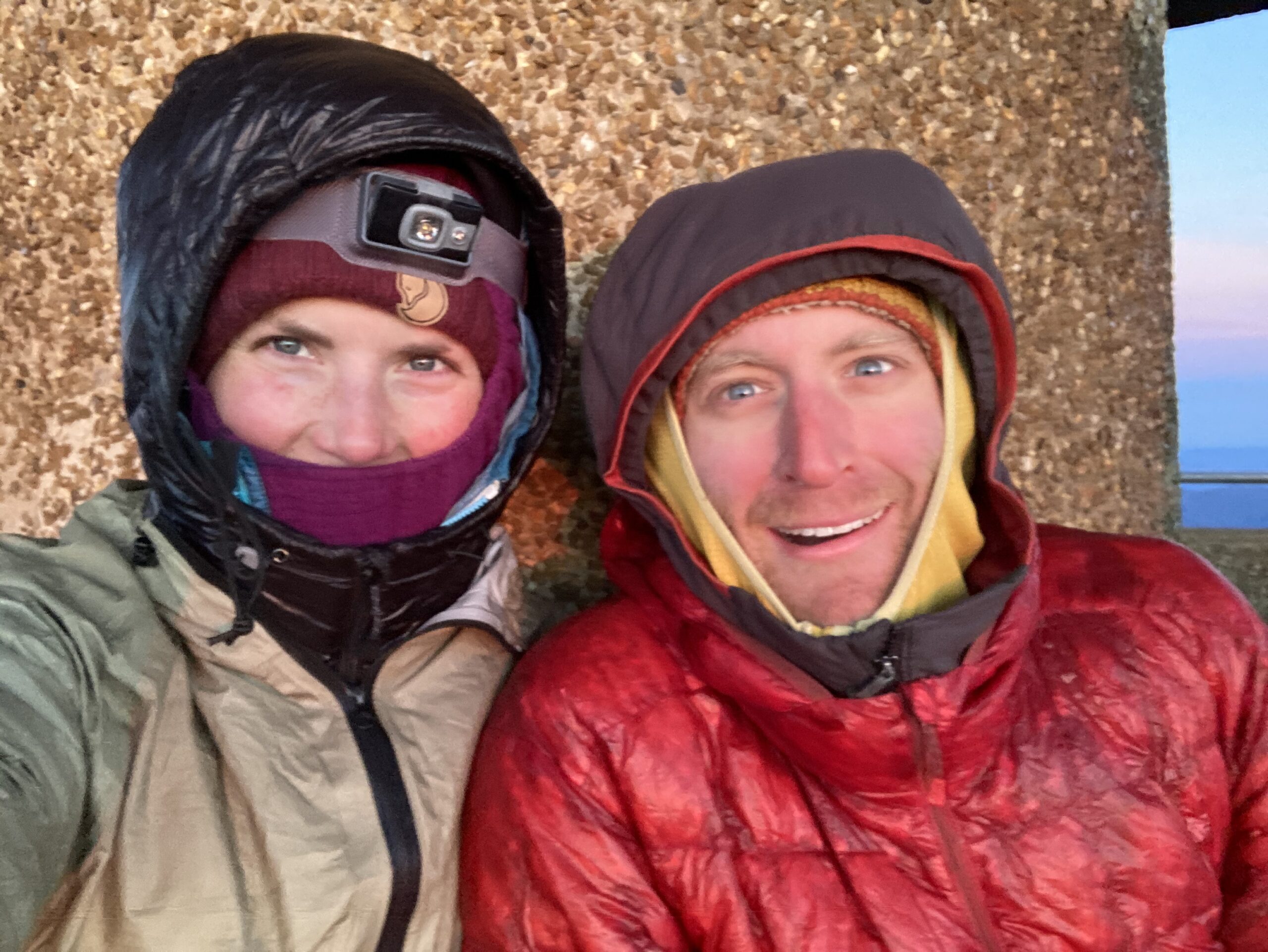
- Heat. We hit a pretty extreme heat wave at the beginning of June up in Maine and it was brutal to hike in the humidity and hot weather for hours on end. It was hard to imagine that folks may have only been part way through Virginia at that point and still had Pennsylvania and the Mid-Atlantic to hike through with the Summer heat incoming. Wow! By the time that heatwave hit we were basically done – so we were thankful to have had pretty great weather for most of the entire trail.
Logistics
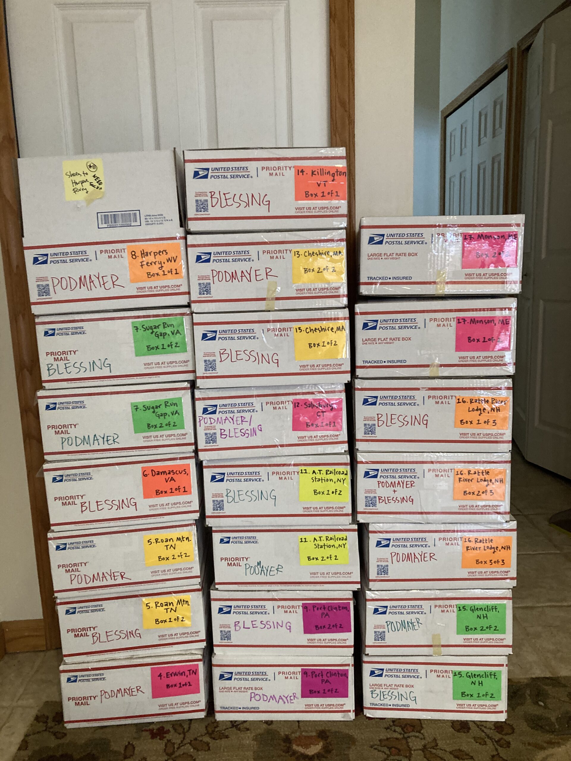
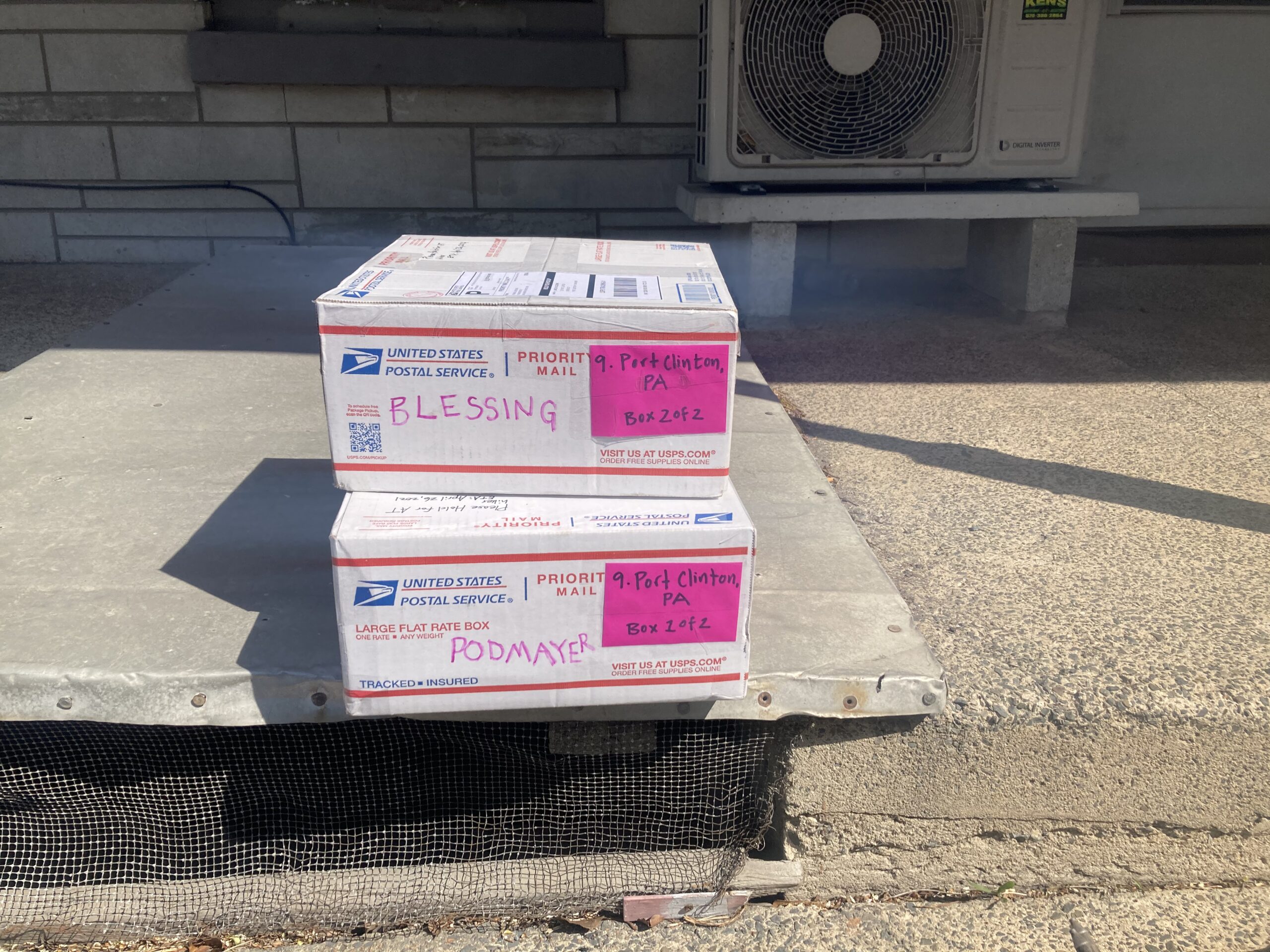
Because we hiked the Appalachian Trail during the COVID-19 pandemic we were heavily planned when it came to trail logistics — we sent boxes to every spot we could along the trail and avoided hitchhiking as much as possible as to not expose ourselves or anyone else. We know that if one of us did get COVID on the hike that would likely be quick end or very long delay to the thru-hike.
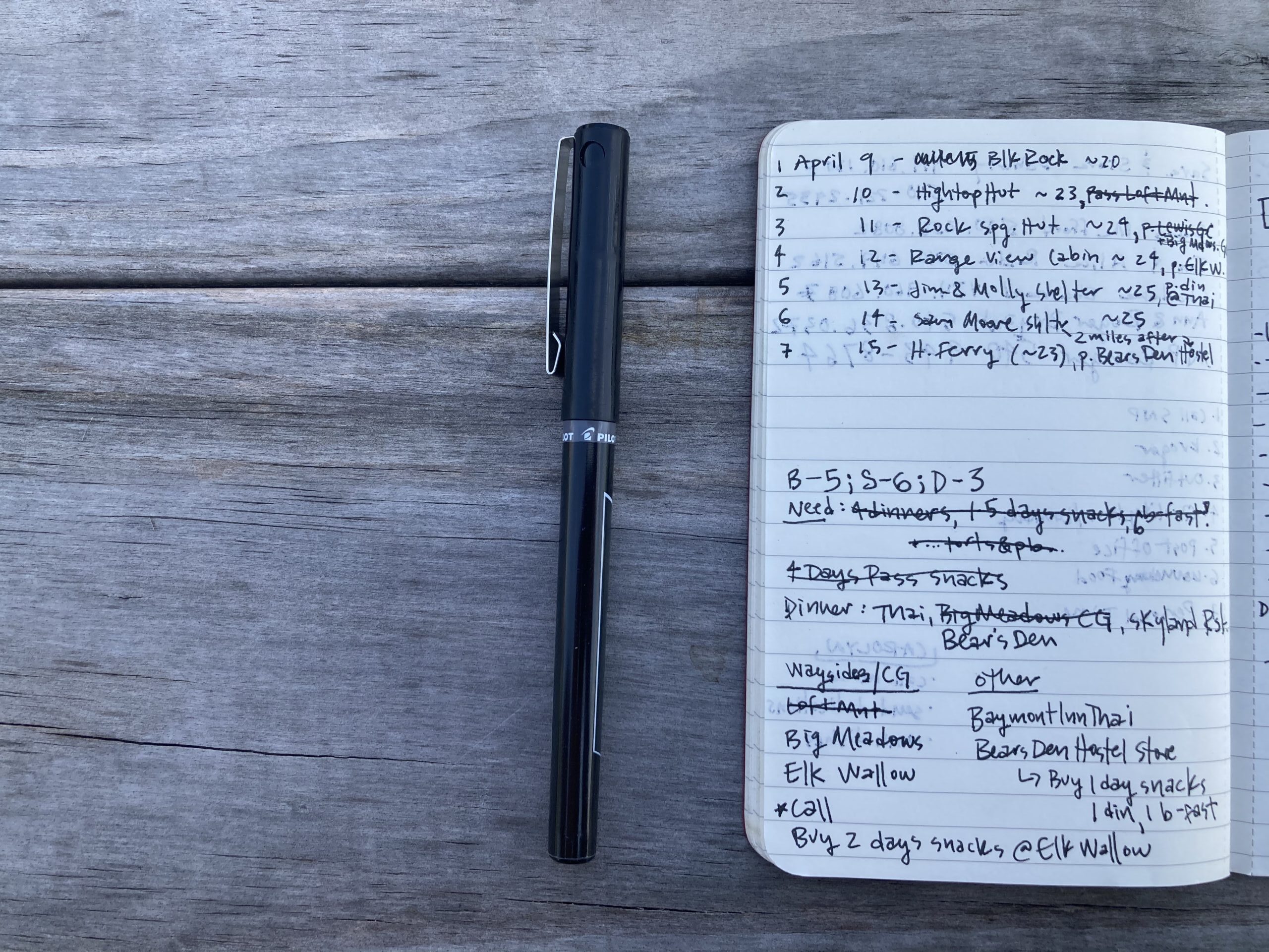
To plan our hike we did purchase AWOL’s Trail Guide and the corresponding Trail Data Sheets. We are a bit old school when it comes to navigation and trail information and we like to look at paper maps or information on the trail. Maps weren’t really needed on the A.T. as the trail is so well marked, but we did appreciate the little trail data sheets that came with the AWOL Guide and we stashed those along the way in our resupply boxes. It was nice to not be glued to our phones anytime we needed to work on trail logistics.
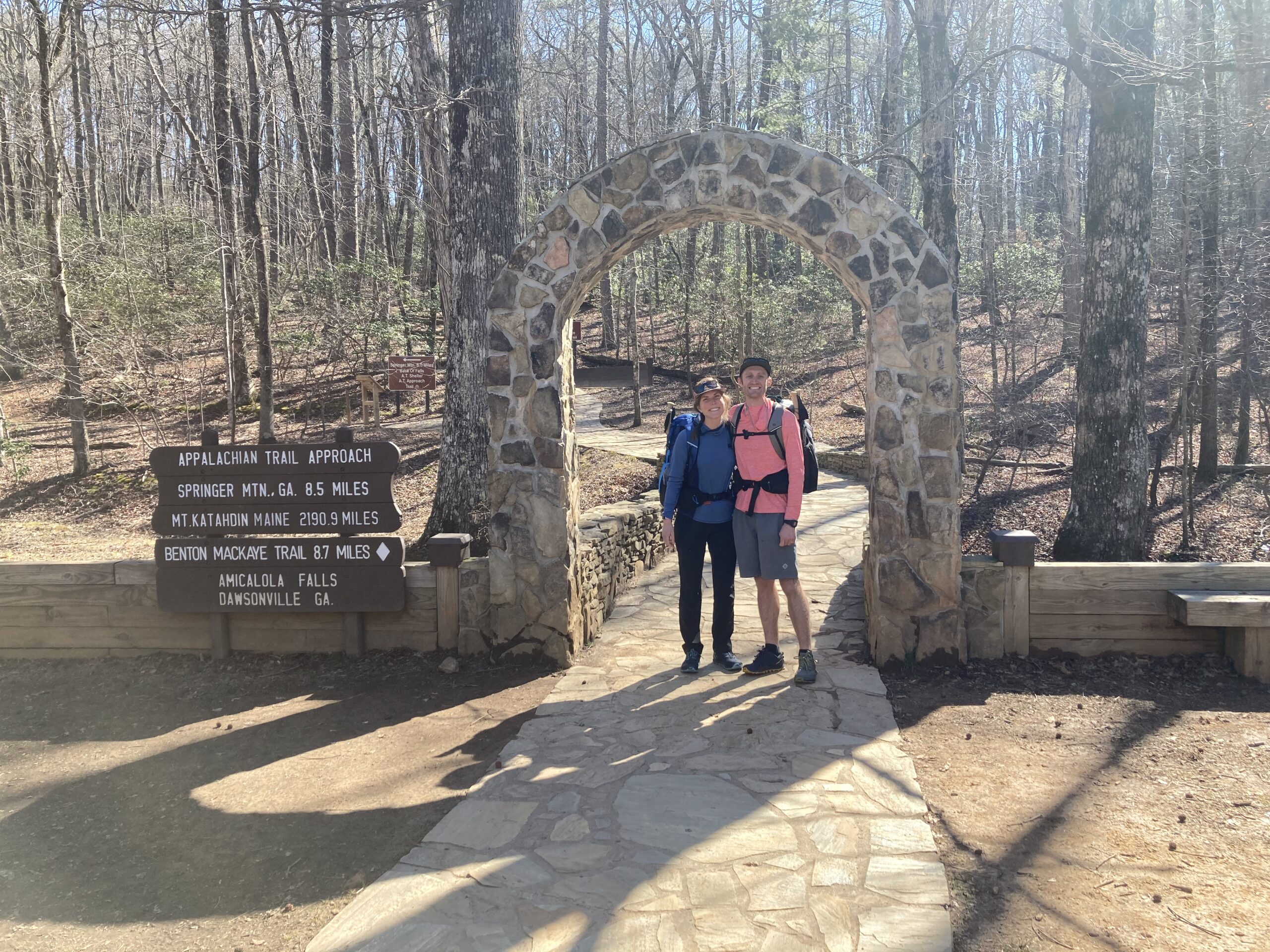
Getting to the Start
We flew into Atlanta and stayed in a hotel room near the airport and then got picked up the next morning by Ron Brown’s Appalachian Trail Shuttle. We were unable to find fuel near our hotel, but thankfully Ron had some fuel that he was willing to sell us in his trunk that he keeps stocked for cases like ours. He got us to Amicalola Falls State Park within a few hours and was an entertaining ride for sure!
Resupply Plan
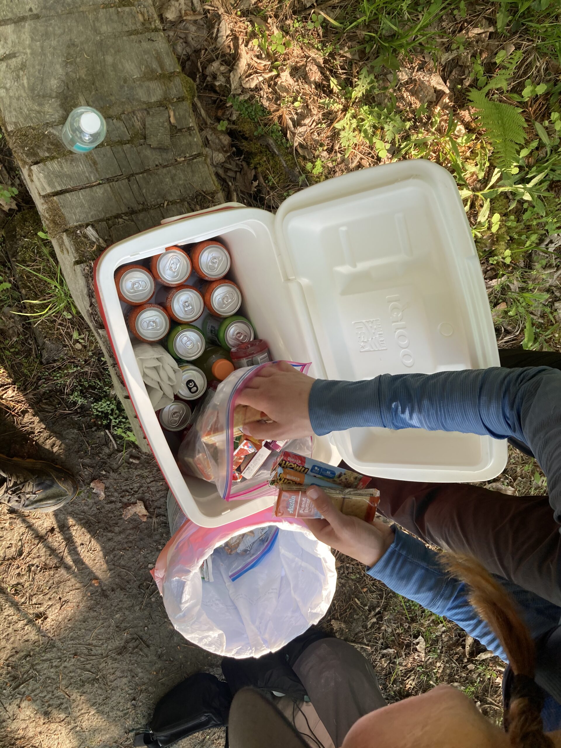
Like I’ve stated a few times so far we mailed a good number of boxes to ourselves along the trail. We organized our overall resupply plan for the trail by using a spreadsheet I found in an online forum and then adapting it to what we felt met our needs. Here is the spreadsheet if you would like to check it out. All of the highlighted rows in the sheet were either a box to be picked up (yellow rows) or a store that we bought at (green rows). You can see that almost all of our choices were the ones that were closest to the trail.
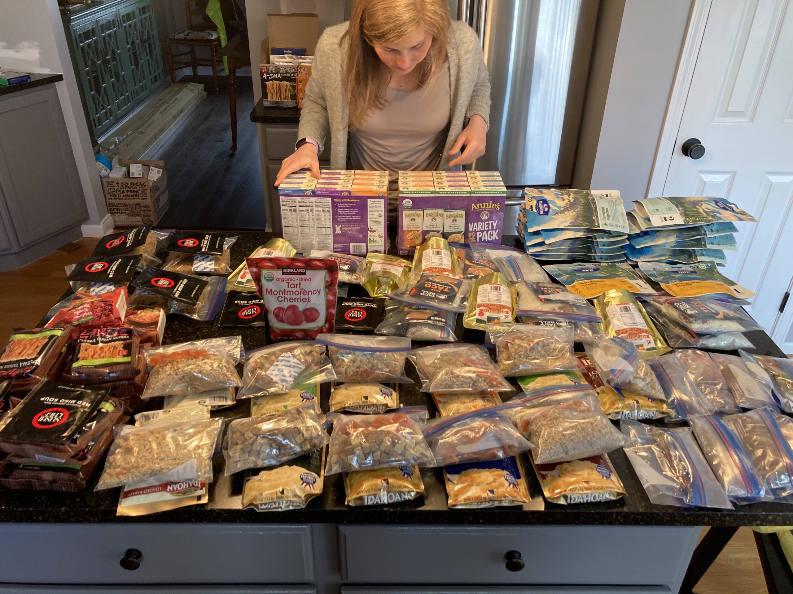
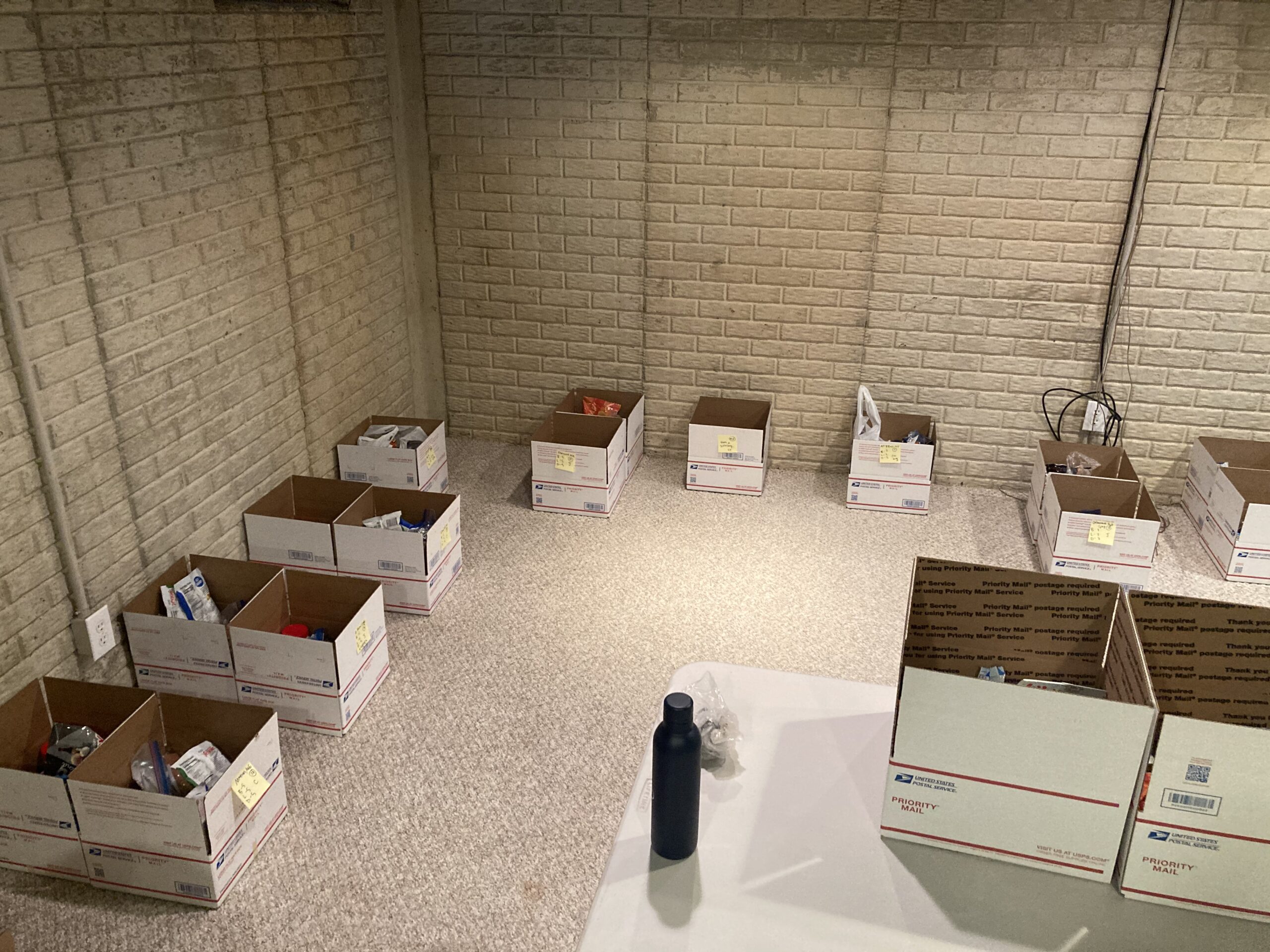
When it came to packing our food we did a huge shop between Costco, the internet and other bulk stores after we had calculated our food needs for all the spots we had planned to mail our boxes too. If you would like to check out how we did that, you can view the associated tabs in the spreadsheet above as they breakdown each of our individual snack needs, breakfast and dinner amounts and details.
Once we packed all the boxes up and they were addressed and labeled appropriately. We created a table that provided instructions on the address and timeframe with which they needed to be mailed. Gratefully, Carolyn’s Dad mailed our boxes at each required date that rolled through. We strategically left each box open, in case we needed any last minute items thrown in before they were mailed. Here is the document with the address table and mail dates.
Additionally, as we packed each box we noted every single item that was in each box in a shared Google doc so we could reference that along the way in case we were curious what would be coming to us in each box. Here is that document in case you want to view what that looks like (note that we have Continental Divide Trail notes in there as we hiked that the same year after the Appalachian Trail).
Getting back from the End
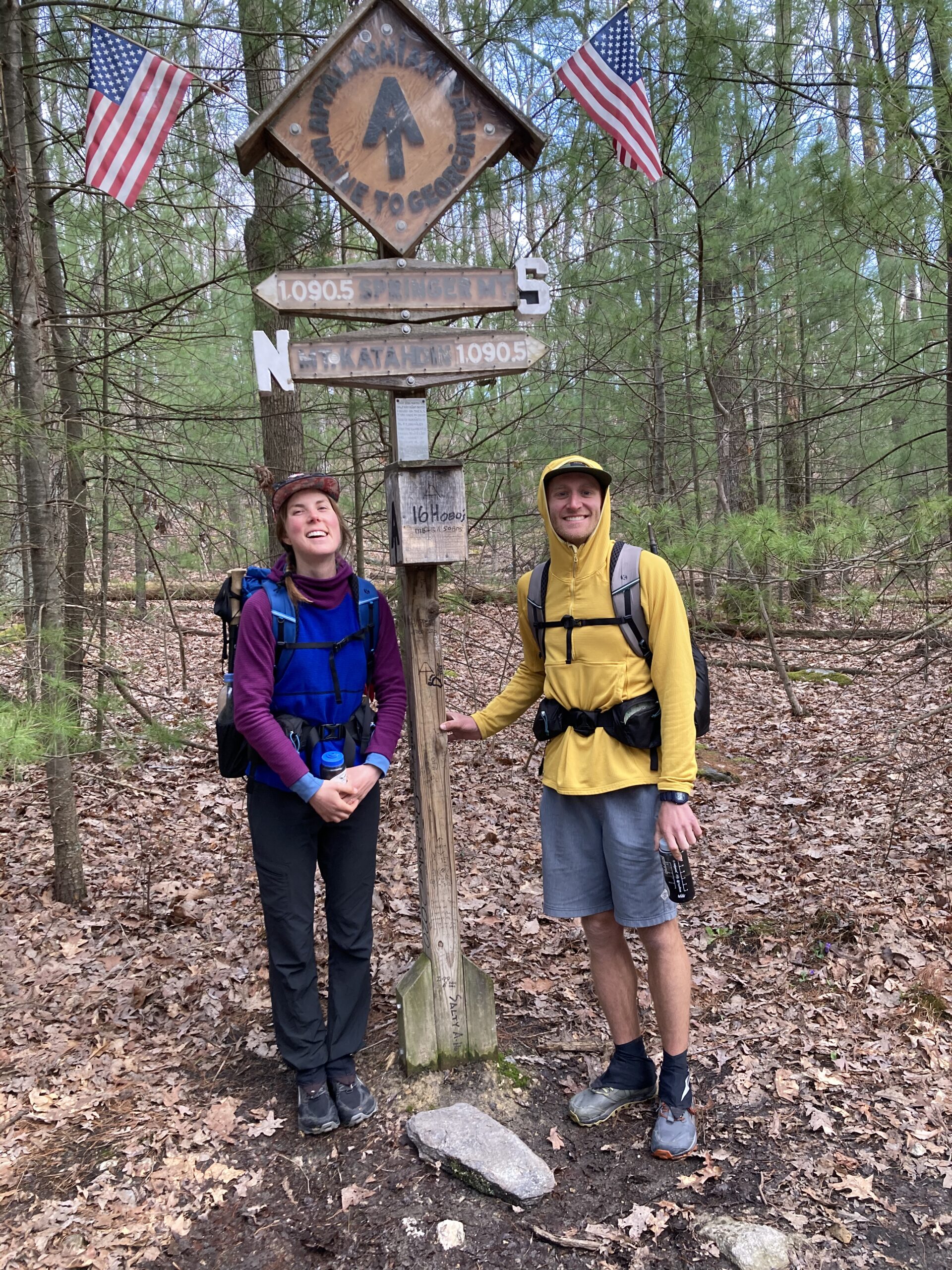
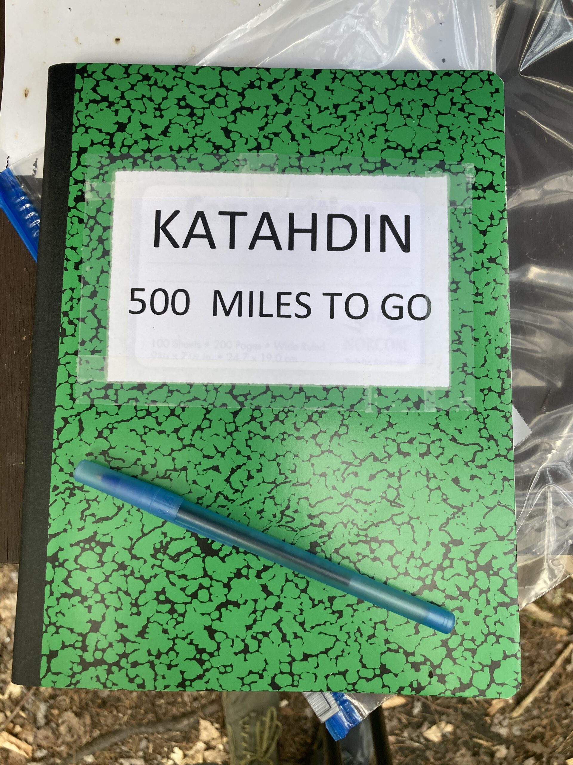
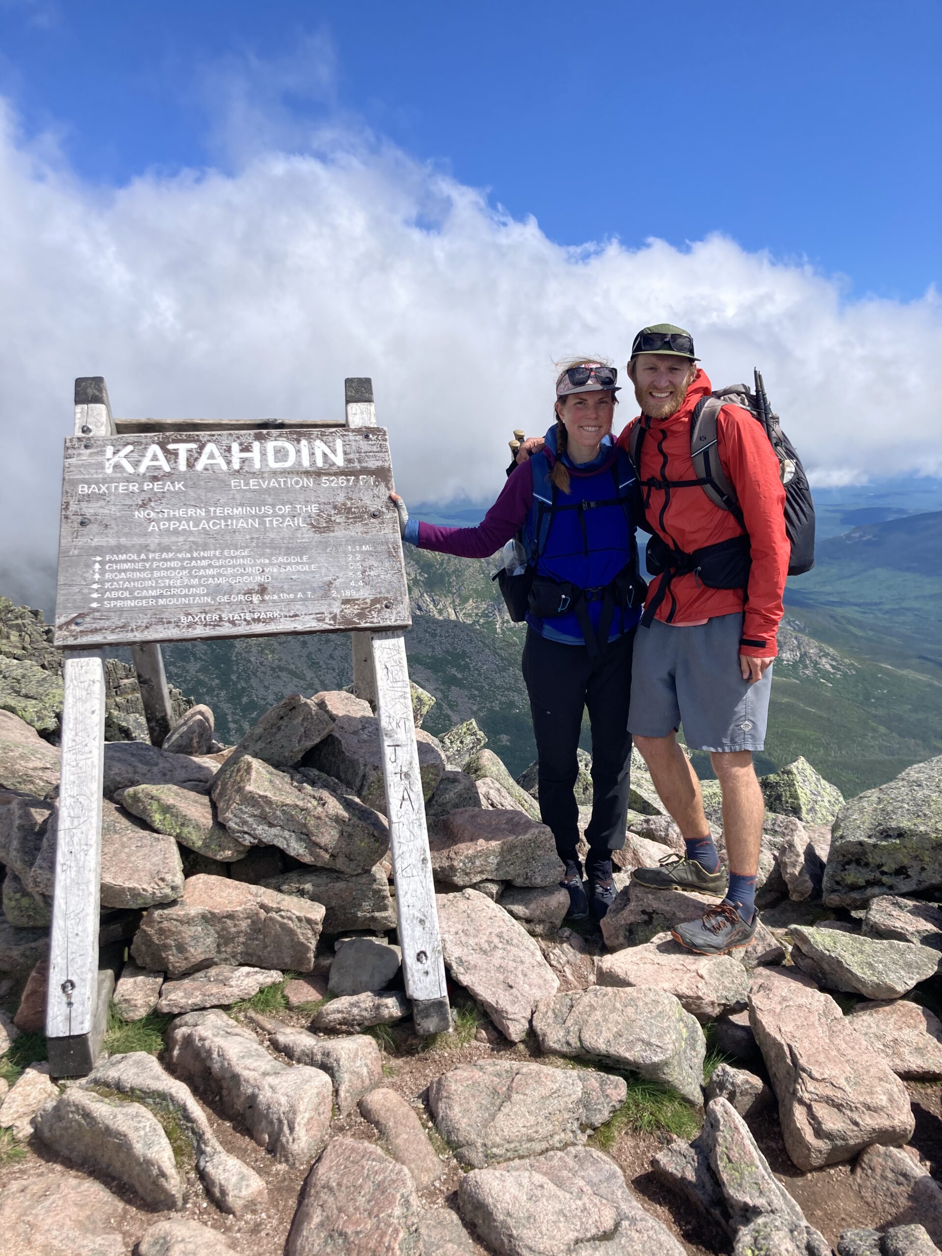
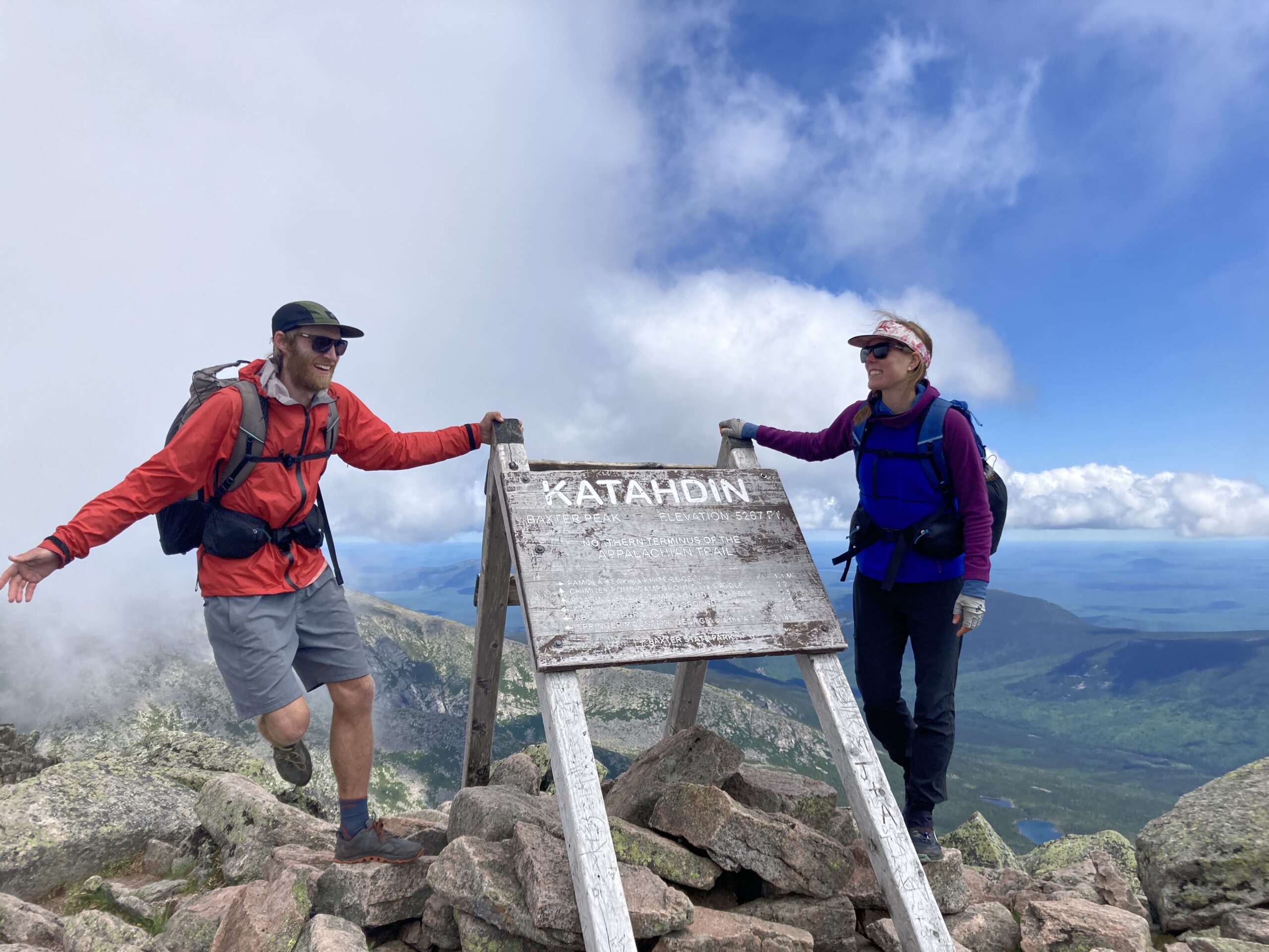
Thankfully, Carolyn’s parents agreed to pick us up at the end after we summited Katahdin! We serendipitously ran into them hiking up the trail right when we were almost down from the top – so it was a great way to end the trail. They drove us South and dropped us off at a train station that we took into Boston and then New York for some city time post trail. It was a little bit overwhelming, but a nice change of pace from hike 20 miles a day!
Resources & Links
Photo Gallery