Trip Report
Rainbow Ridge: Stiletto Lake to Rainbow Lake
Trip Overview
This trip was inspired by Climber Kyle’s trip report of what he calls the Triple Rainbow High Route. We were looking for an adventure that wouldn’t require too much scrambling or climbing, since a few weekends ago Jeff had slipped and broken his wrist hiking down steep off-trail into Agnes Creek, after climbing Dome Peak, Sinister Peak & Gunsight Peak from Stehekin. We followed a route that went up to Stiletto Lake from the Bridge Creek trailhead. We then went over Twisp Mountain, past Twisp Lake and through McAlester Pass, hopping onto the Rainbow Ridge trail. From there, we went up and over the south ridge of Bowan Mountain, ultimately creating a loop back to the Bridge Creek trailhead via Rainbow Lake Pass and walking the PCT Northbound.
Day 1 – Bridge Creek Trailhead to Stiletto Lake
We started out of the Bridge Creek trailhead at 2:15 p.m. We walked the short distance to the junction with the Copper Pass trail, passing a Methow Valley Trails Collaborative crew on the way.
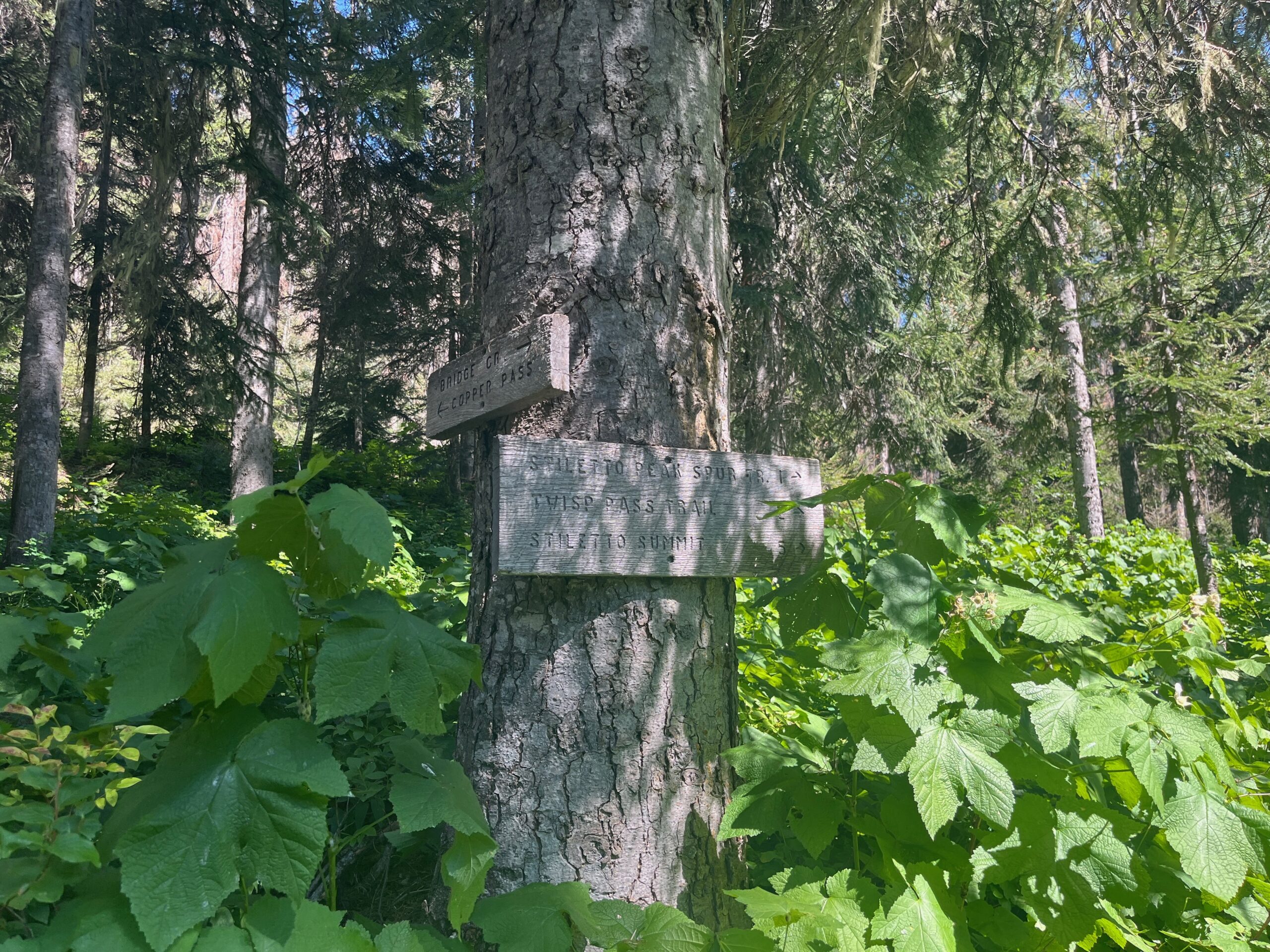
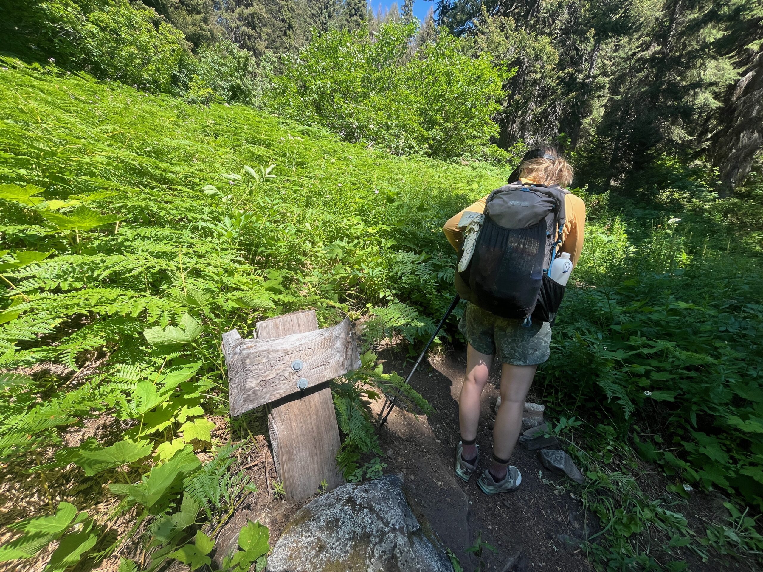
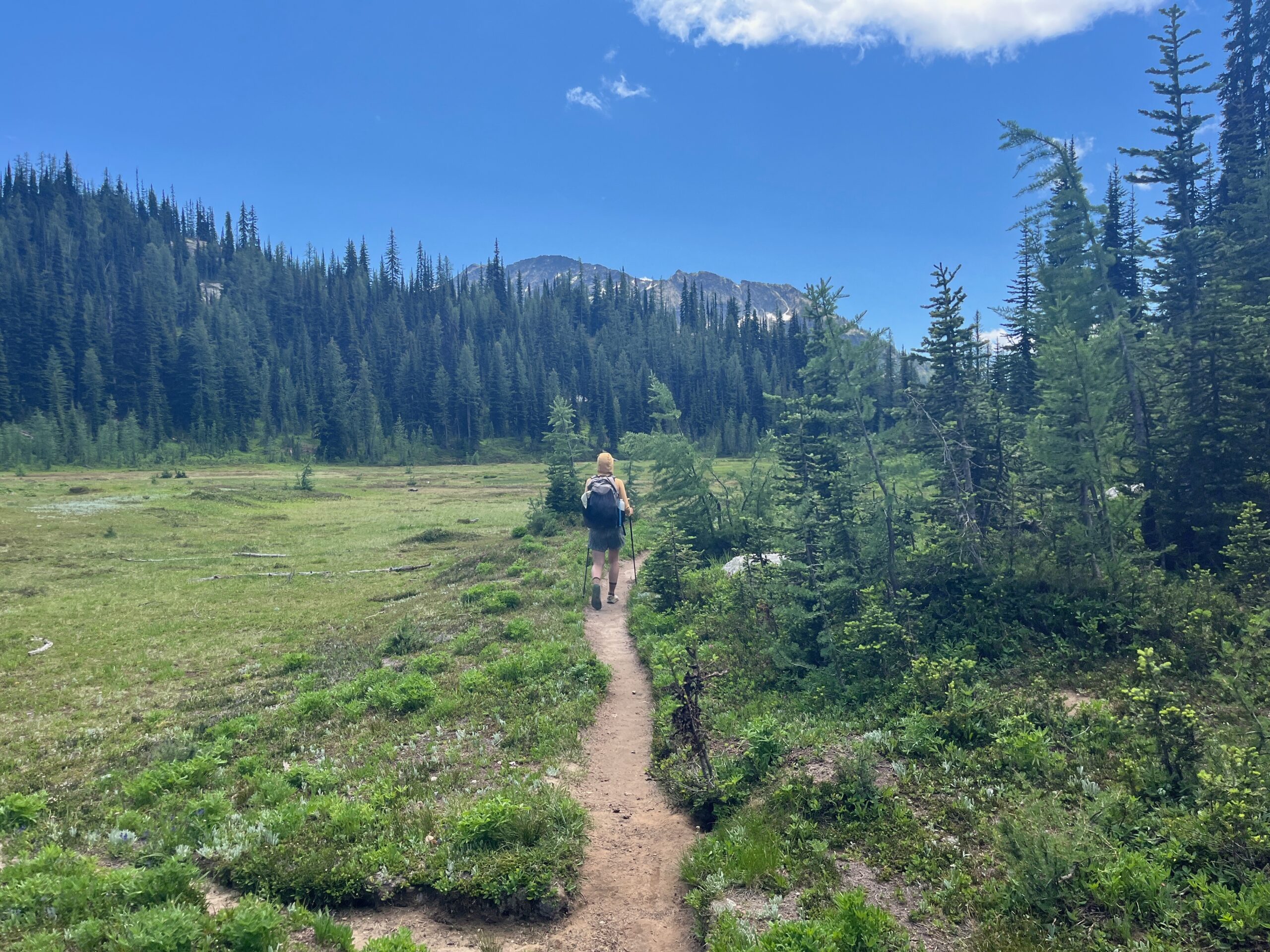
We turned left at the junction and followed sort of brushy trail past the Copper Pass junction to the Stiletto Peak trail. The Stiletto Peak trail was very well maintained and provided some nice walking and great views up high. Anytime we stopped though we did get swarmed by mosquitoes, but it’s that time of year.
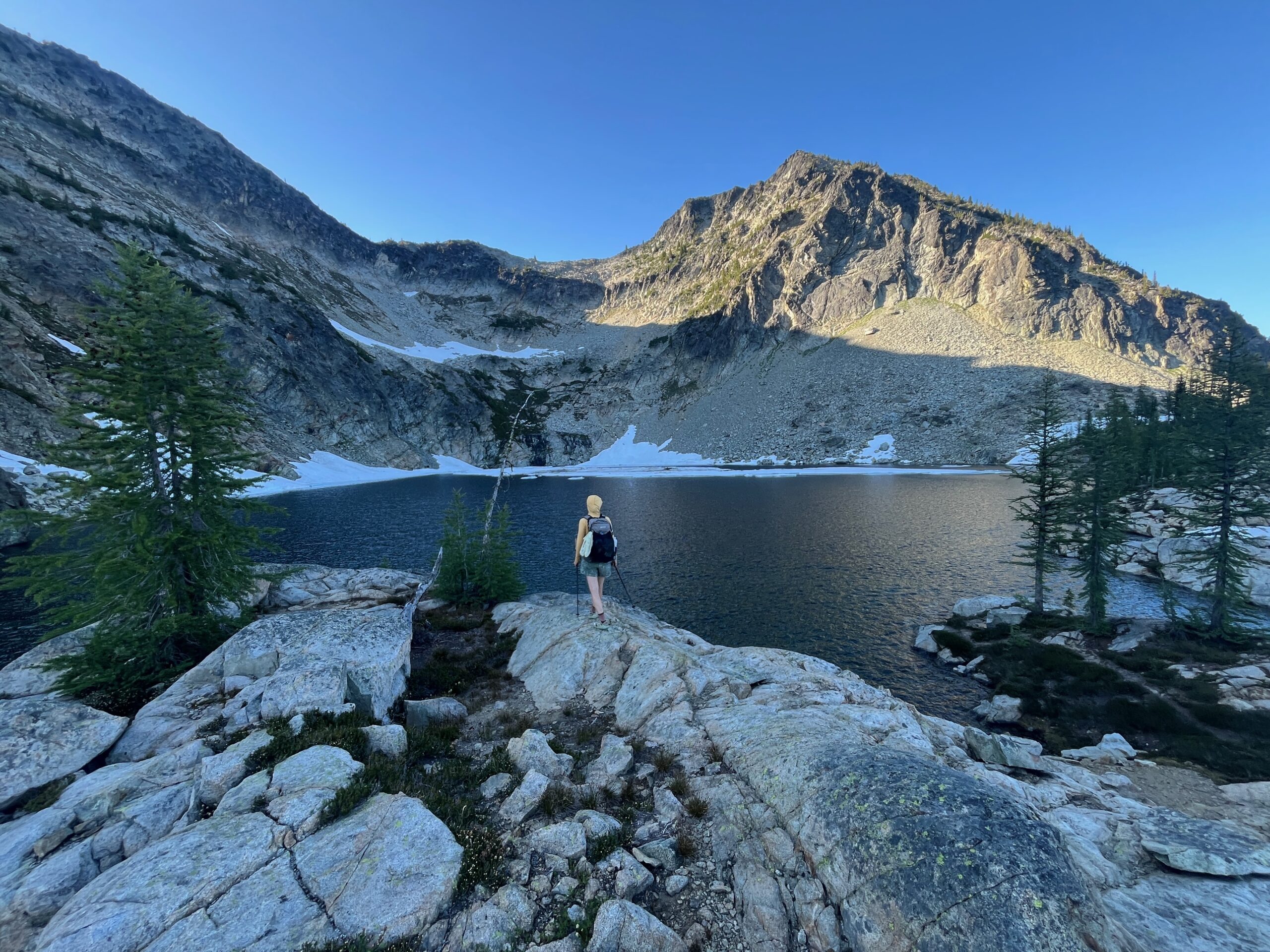
We made it up to the lookout and enjoyed the views. Then we followed faint intermittent trails and cairns contouring around the South side of Stiletto and Jackknife peaks, eventually making a rising traverse northeast to Stiletto Lake.
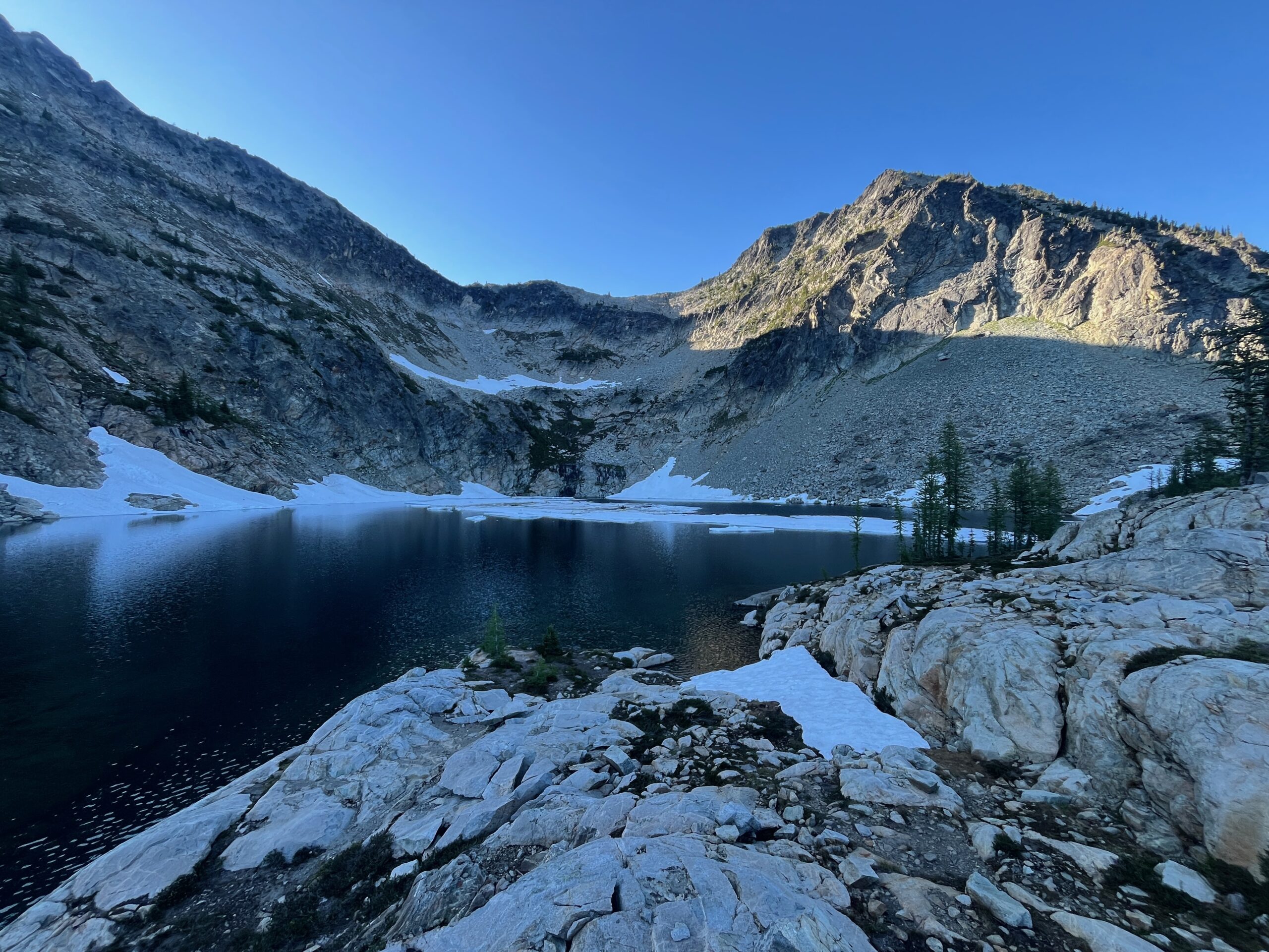
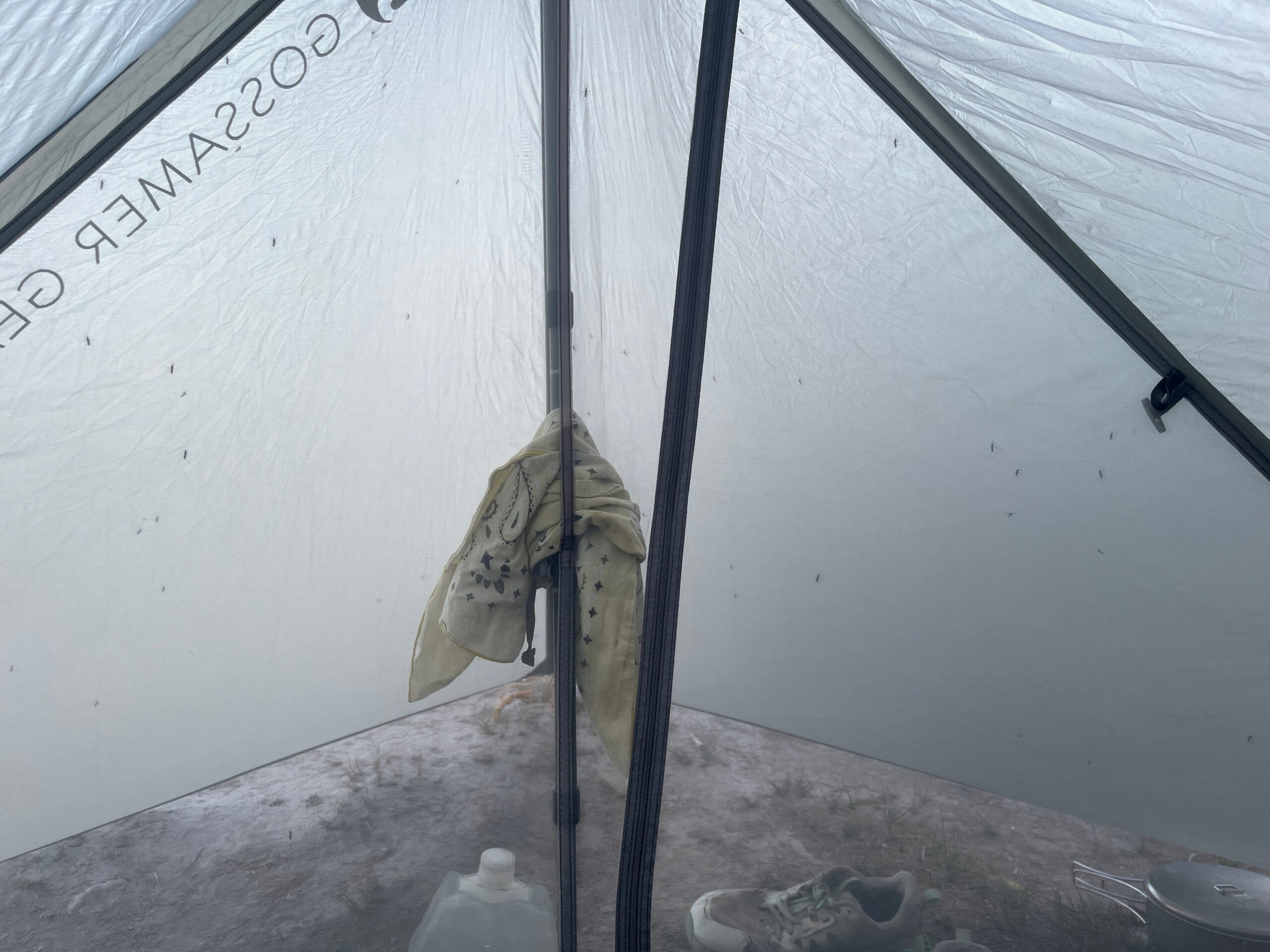
We found a nice camp spot, rinsed our feet in the cold lake, and then made dinner while hiding from the bugs in our shelter.
Day 2 – Rainbow Ridge & hike out to Bridge Creek
We woke up at 5:30 a.m. in wind and clouds. The wind had blown in overnight and the clouds made it so we couldn’t see much. As we started down the trail to Twisp Pass we dropped out of the clouds and had some great views down the East Fork of McAlester Creek. We hit Twisp Pass and then followed a faint use trail for a little which eventually turned into cross country travel to the little tarn north of Twisp Mountain.
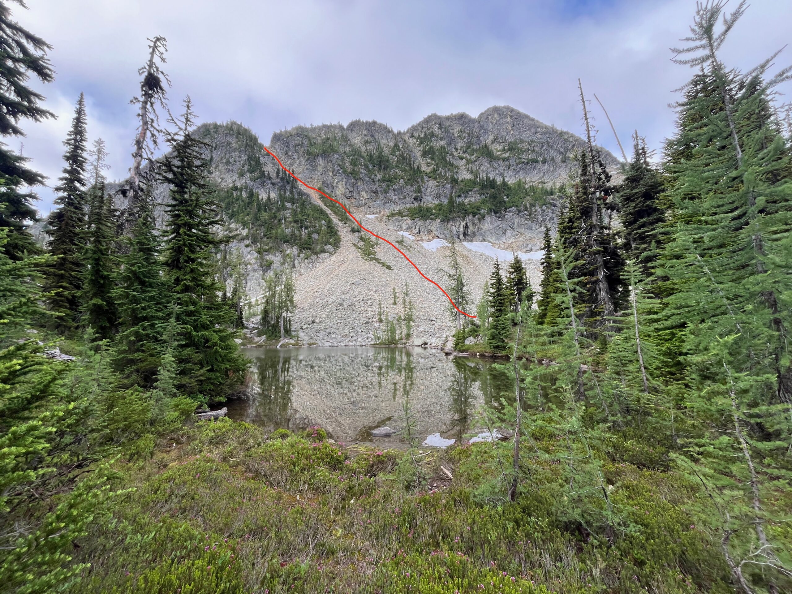
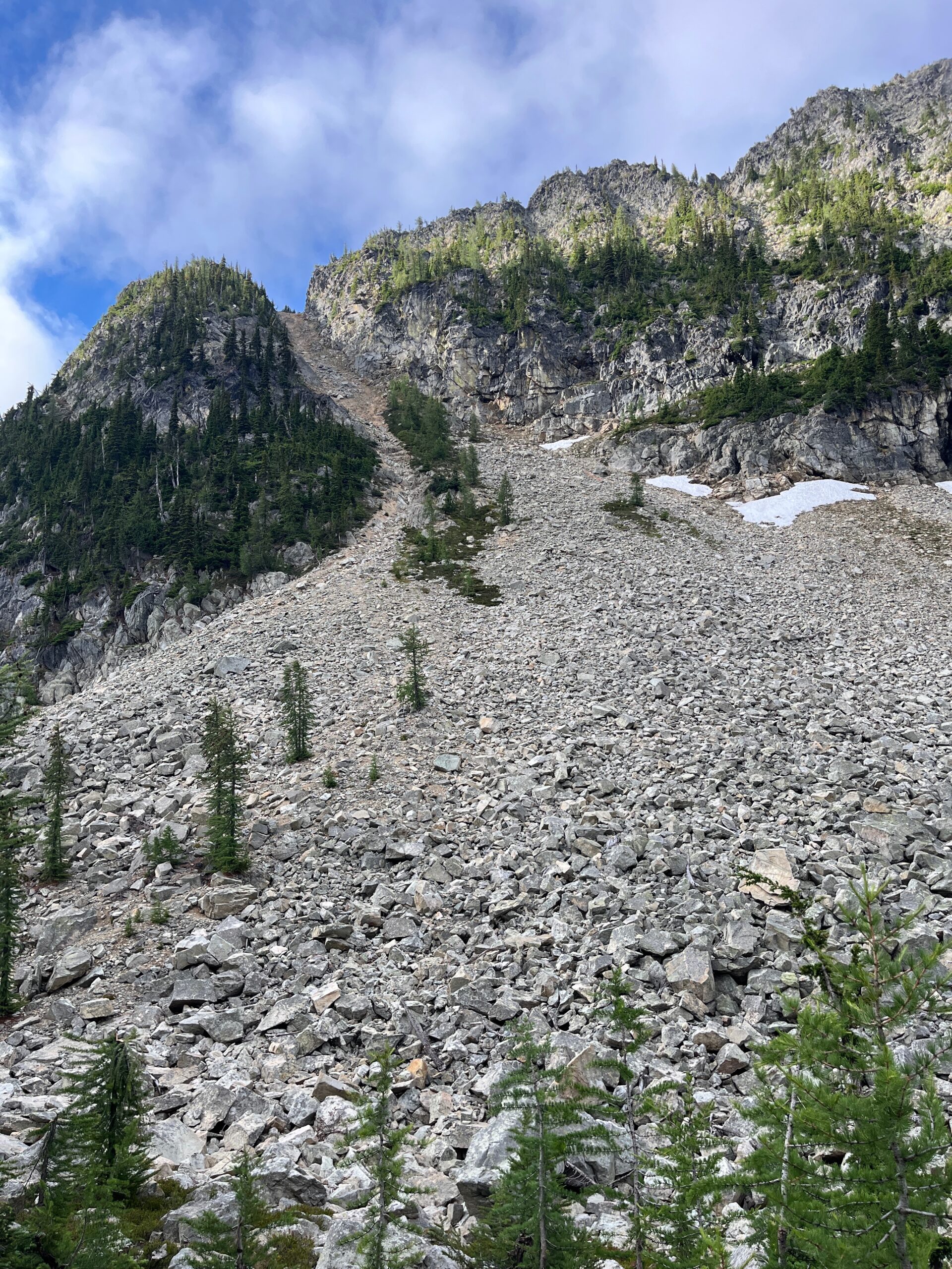
We picked a line up and over the east ridge of Twisp Mountain that seemed accurate as to what Climber Kyle described. It was good talus to start, then passed through a little treed heather patch midway up, eventually heading into very steep and loose dirt that felt very tenuous at times. We stayed on the left side at the top, but it looked like you maybe could be on the right too! Who knows.
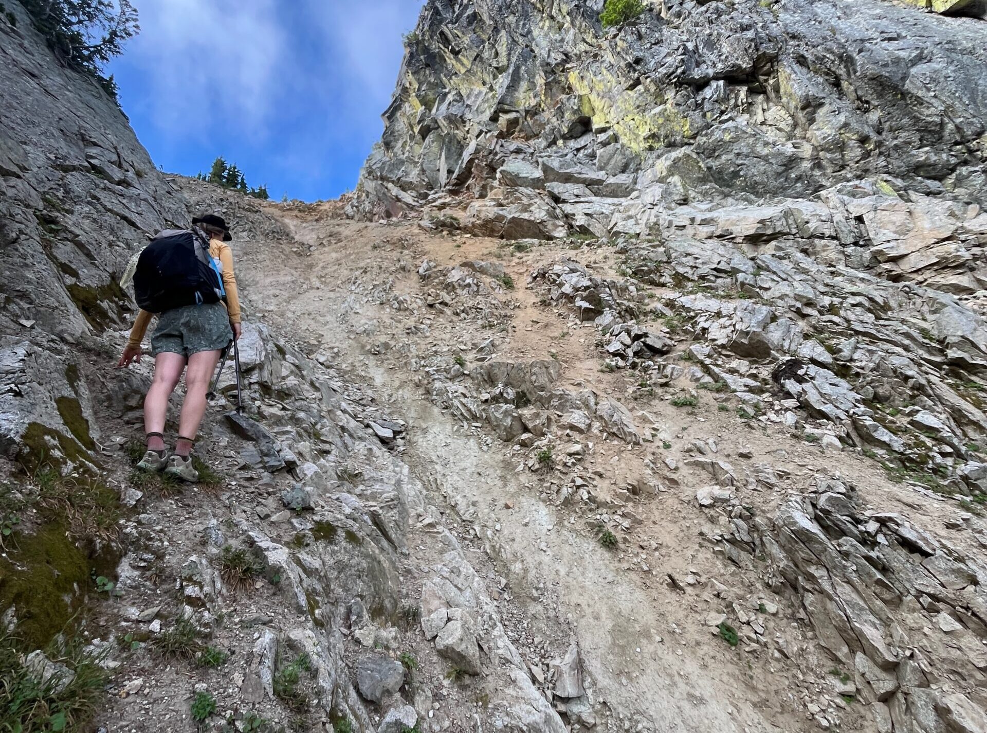
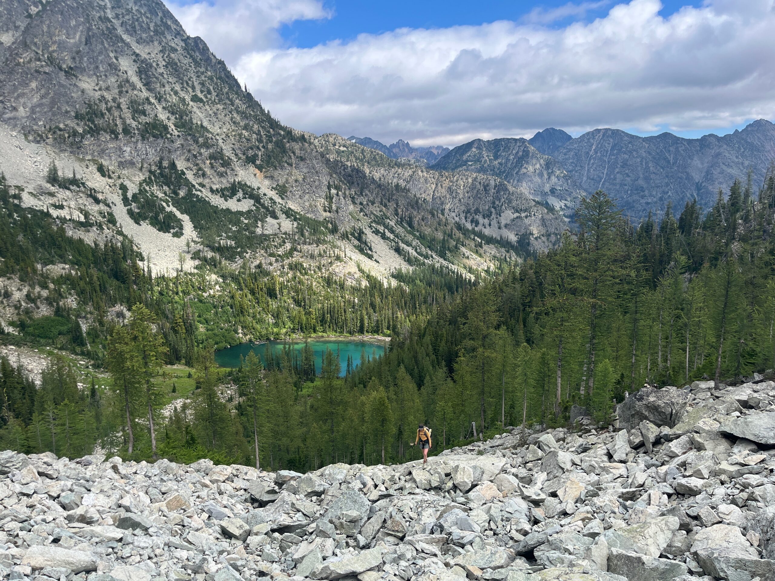
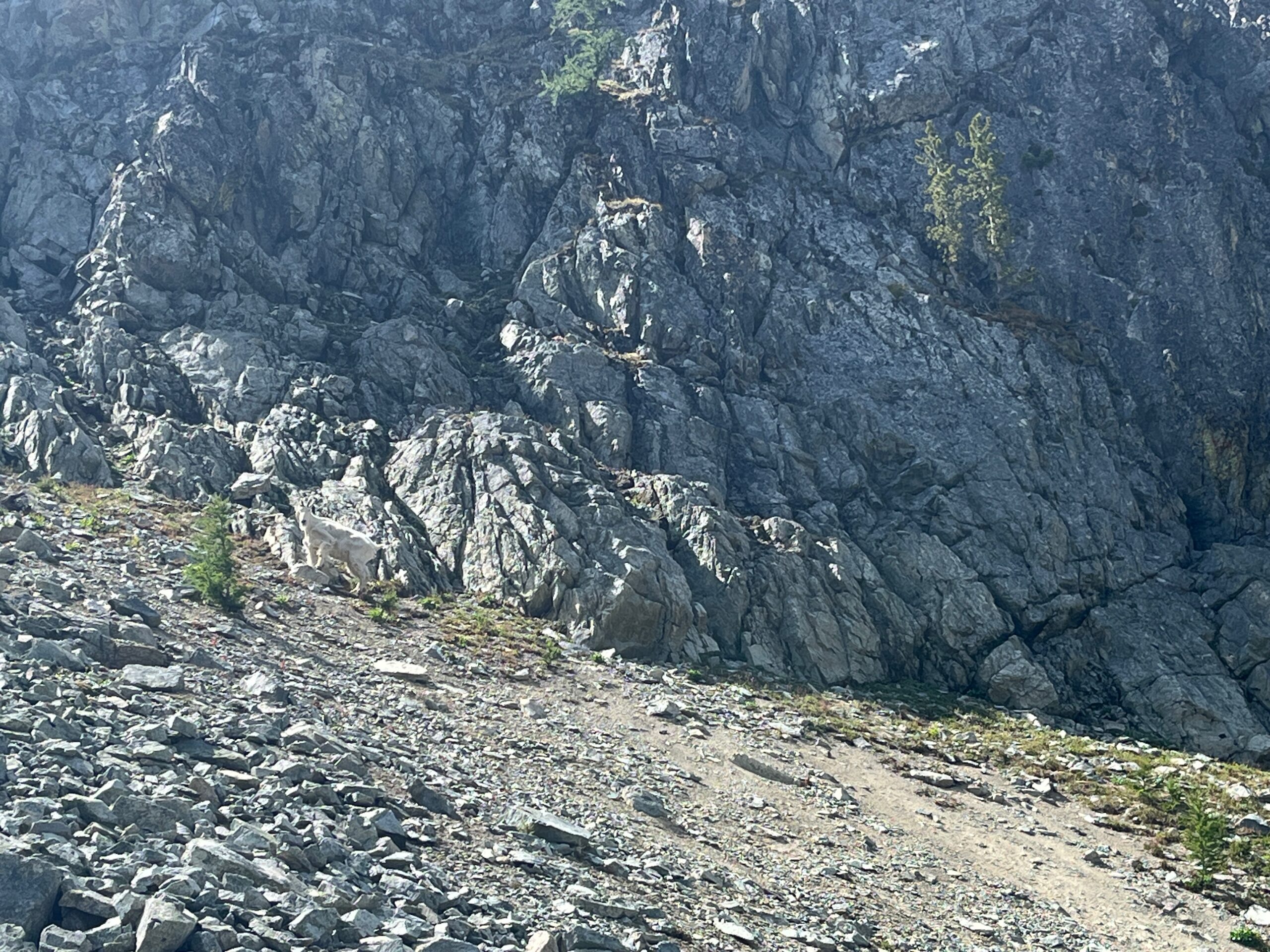
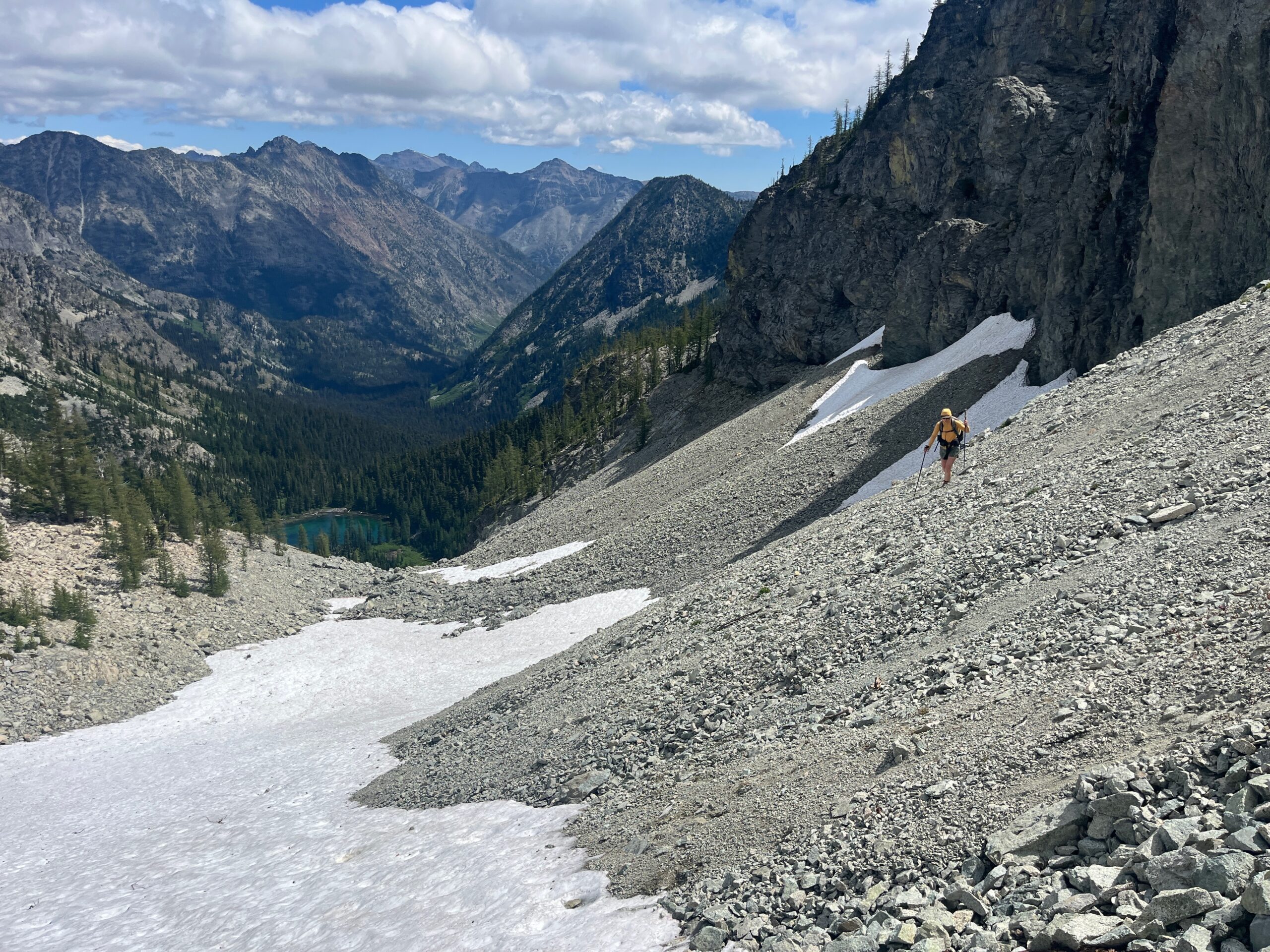
We took a breather at the top of the loose dirt gully and then scrambled up to the top of Twisp Mountain which offered great views over towards Stiletto Lake. We headed back down to the top of the gully we had just climbed, since this seemed like the smoothest descent. We followed the broad slope from the pass eventually finding our way to the edge of the basin south of Twisp Mountain. Then, we contoured around the east ridge of Hock Mountain, staying between 6,000′ and 6,200′ until the terrain eased and we could head straight for Twisp Lake. We walked around the north side of the lake. We took a break just before the next pass to choose the best way up. We made our way up east of the big cliff band and turned west to head directly towards the pass, finding a small grassy ramp right below the cliff bands made by a mountain goat. This shot us out in the loose scree and we groveled our way to the top of the pass with some not so great side hilling and a lot of loose rock.
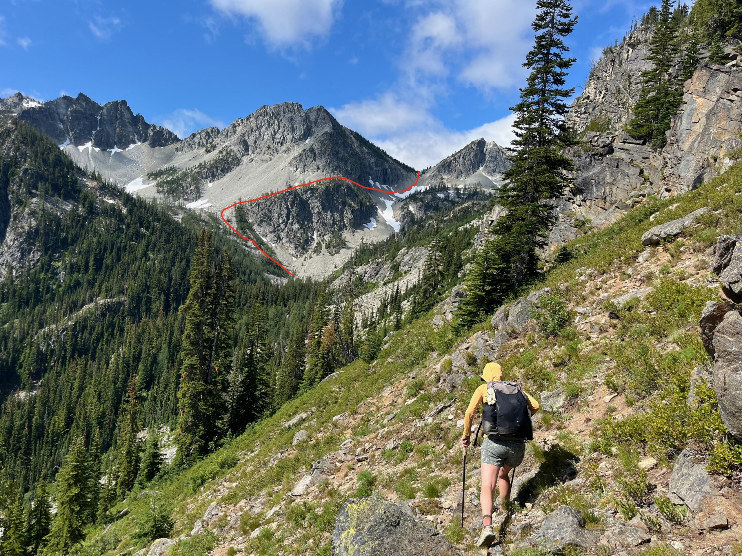
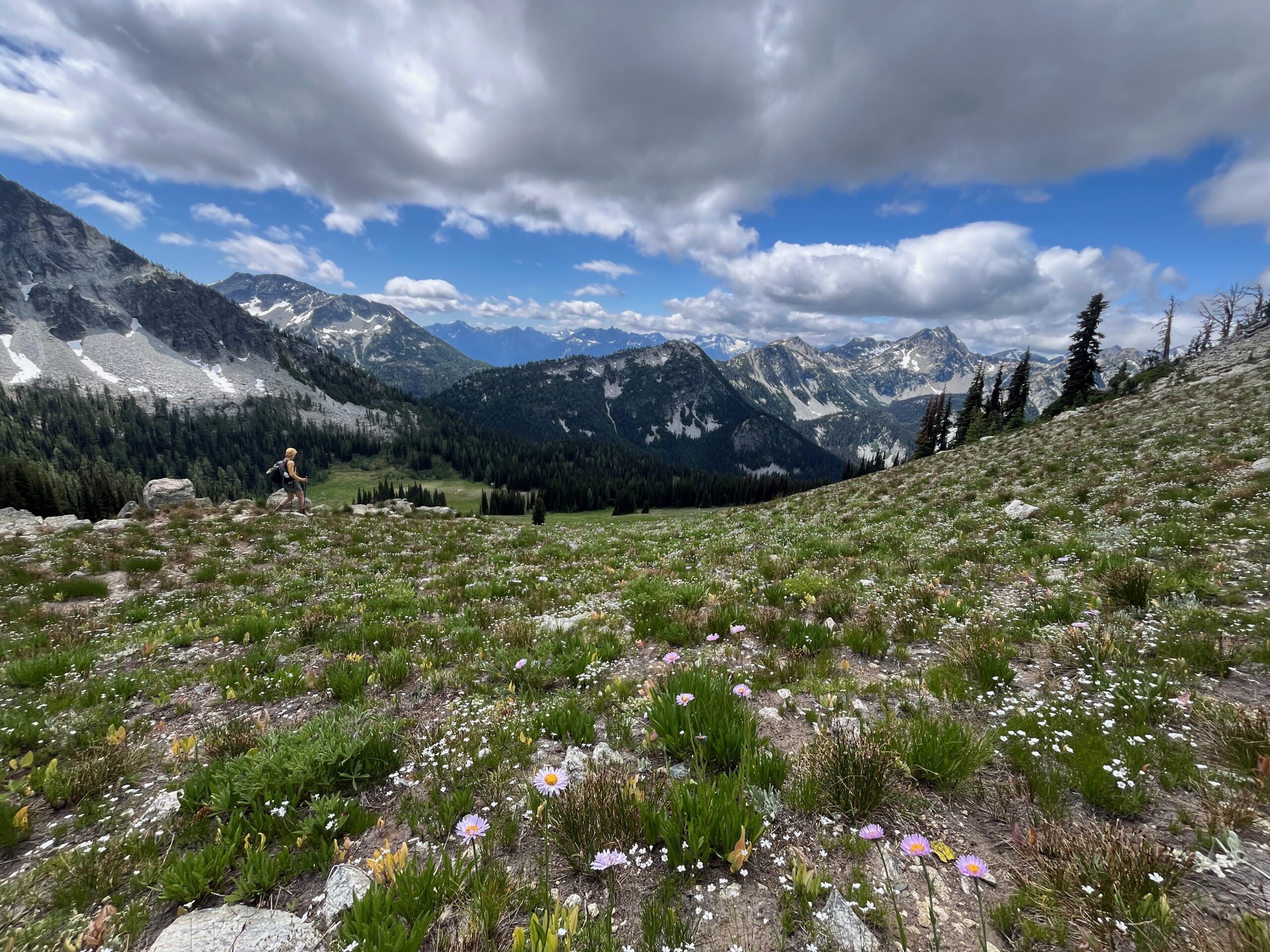
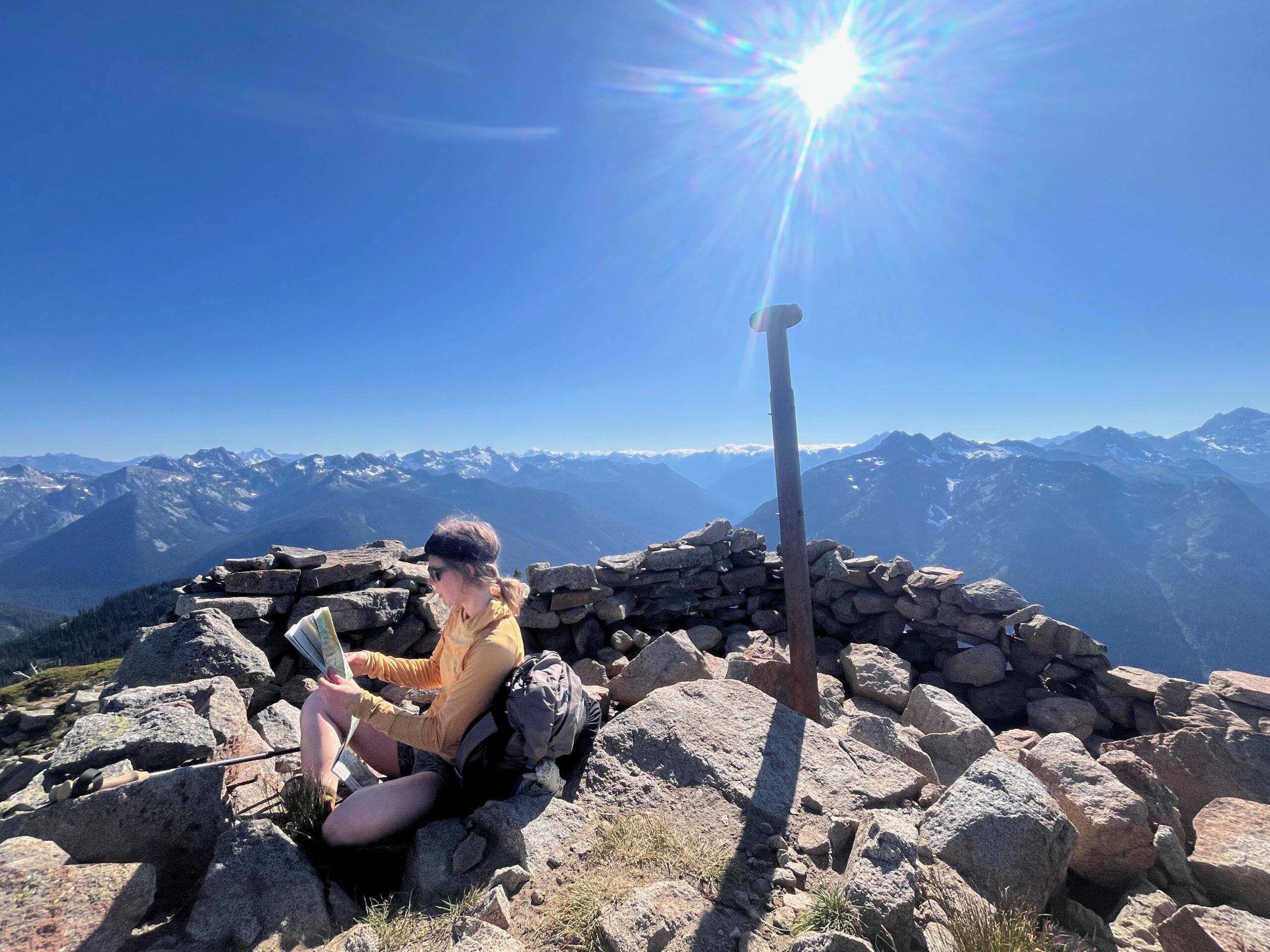
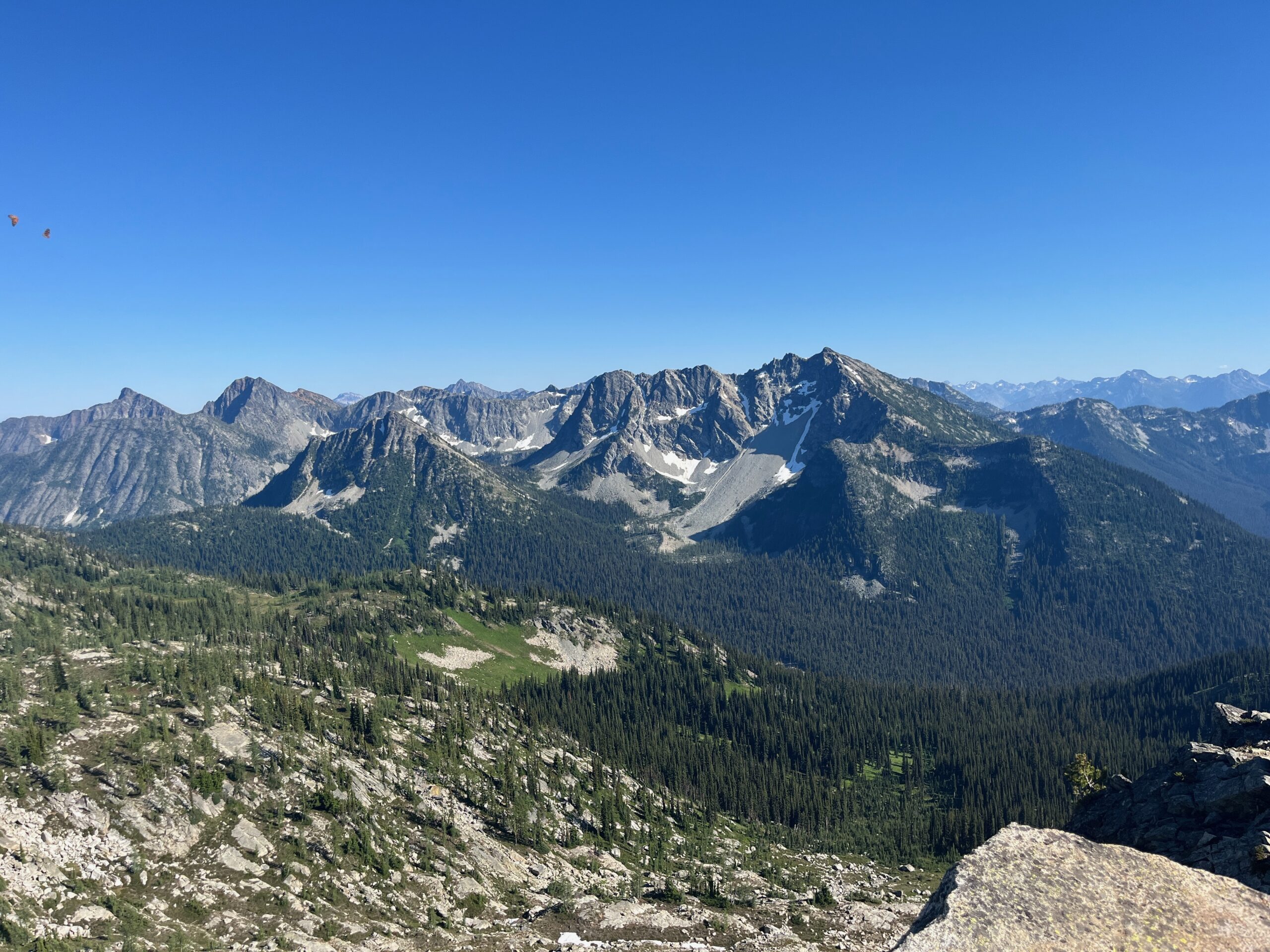
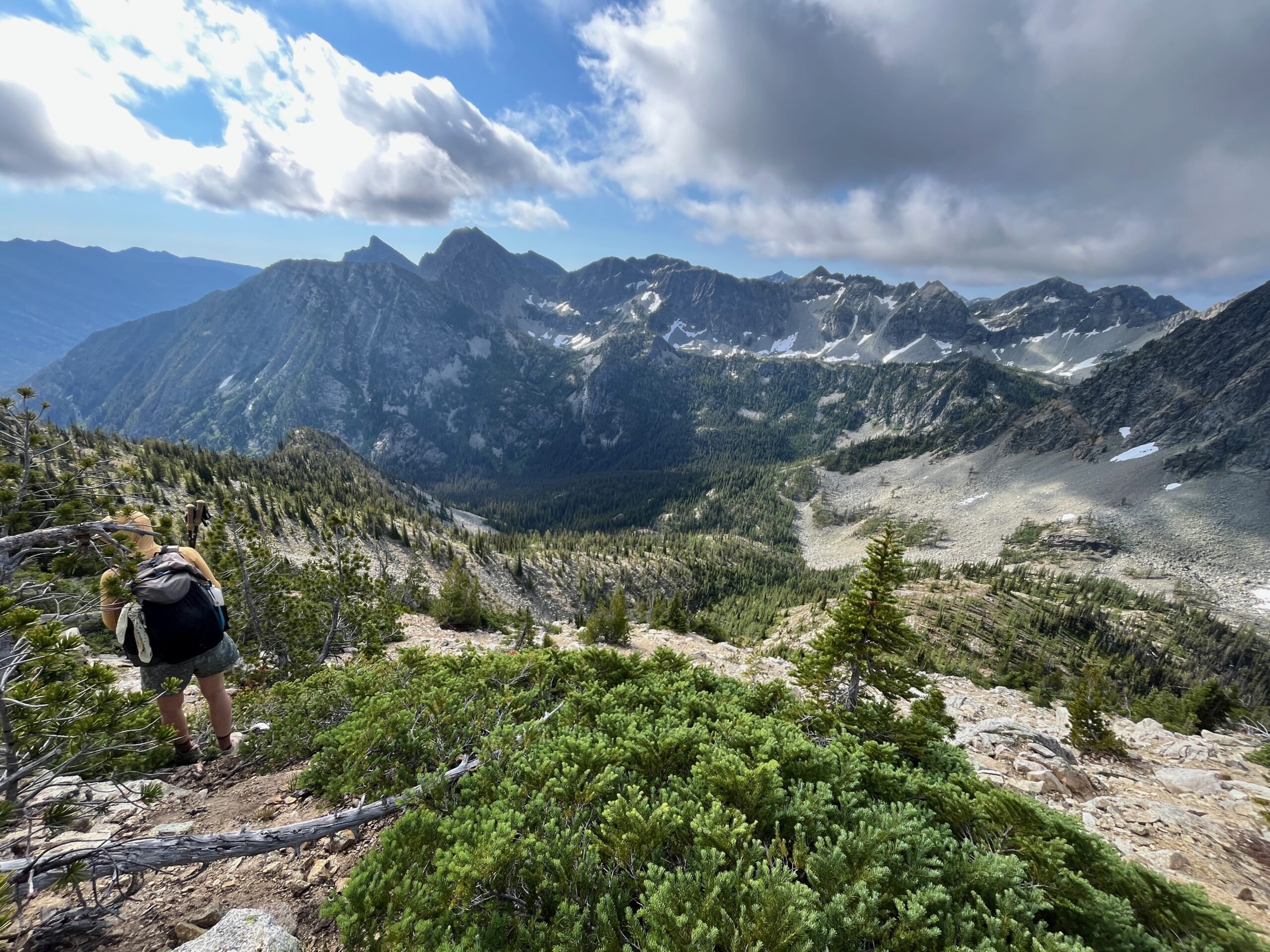
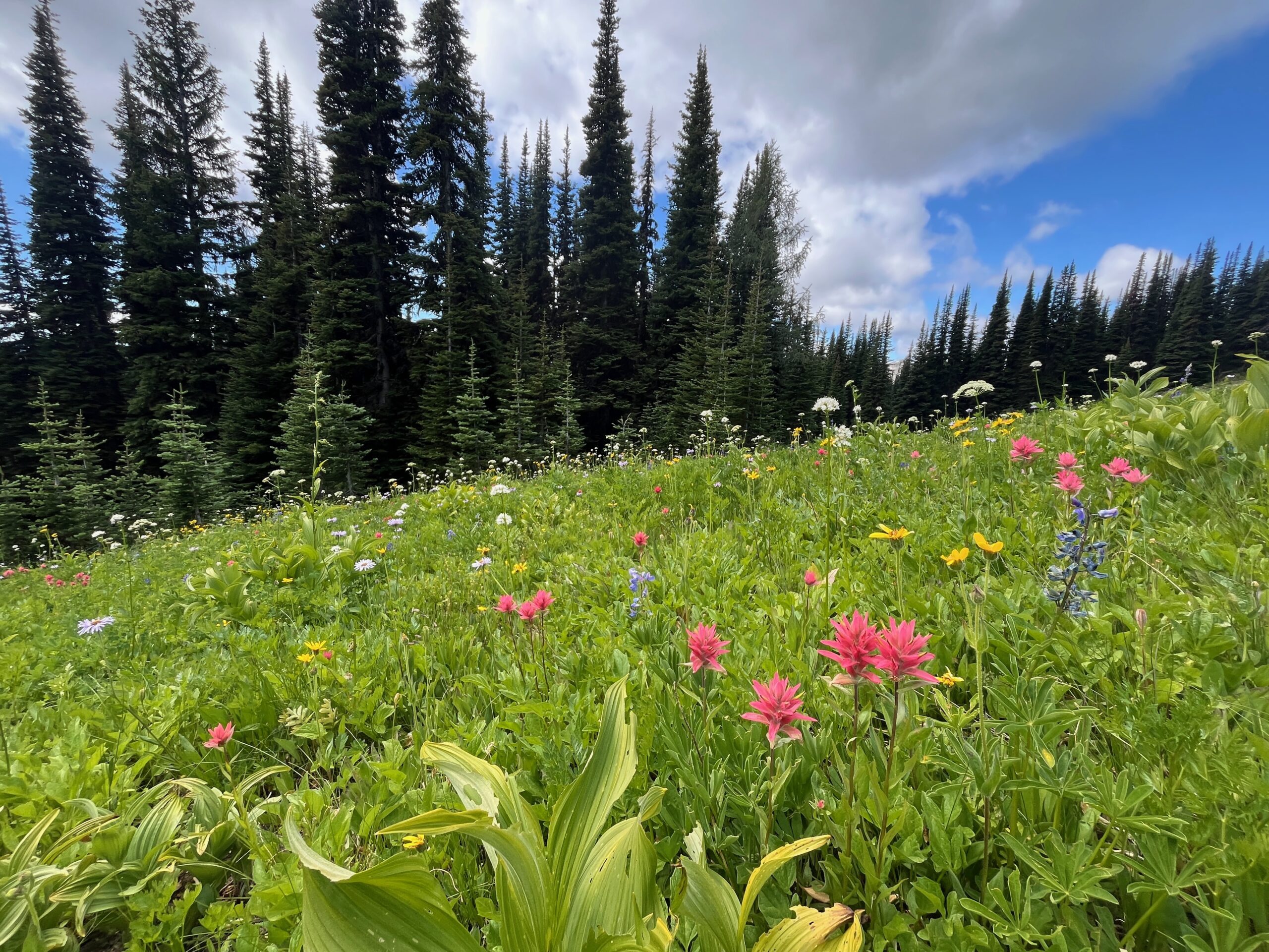
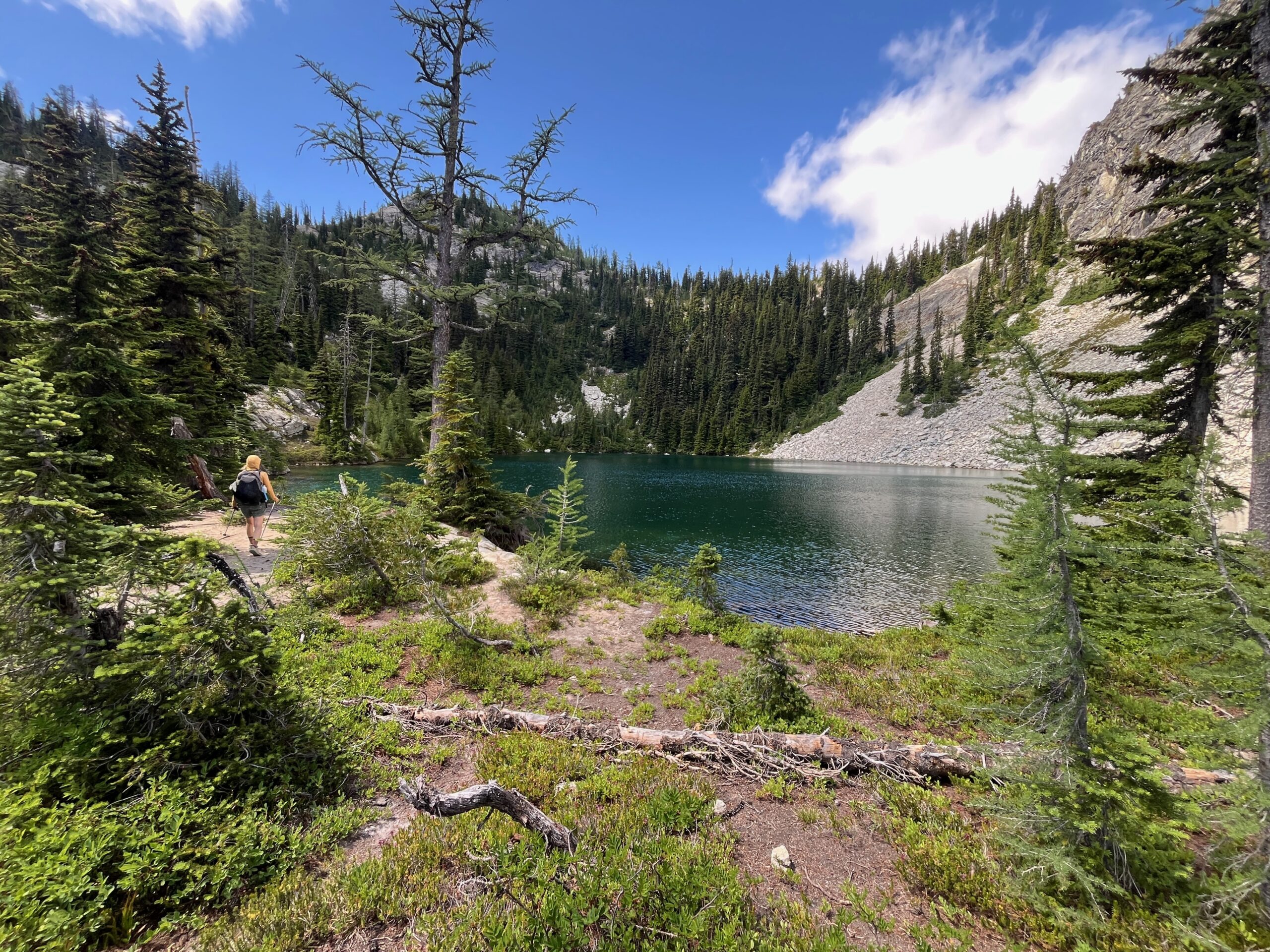
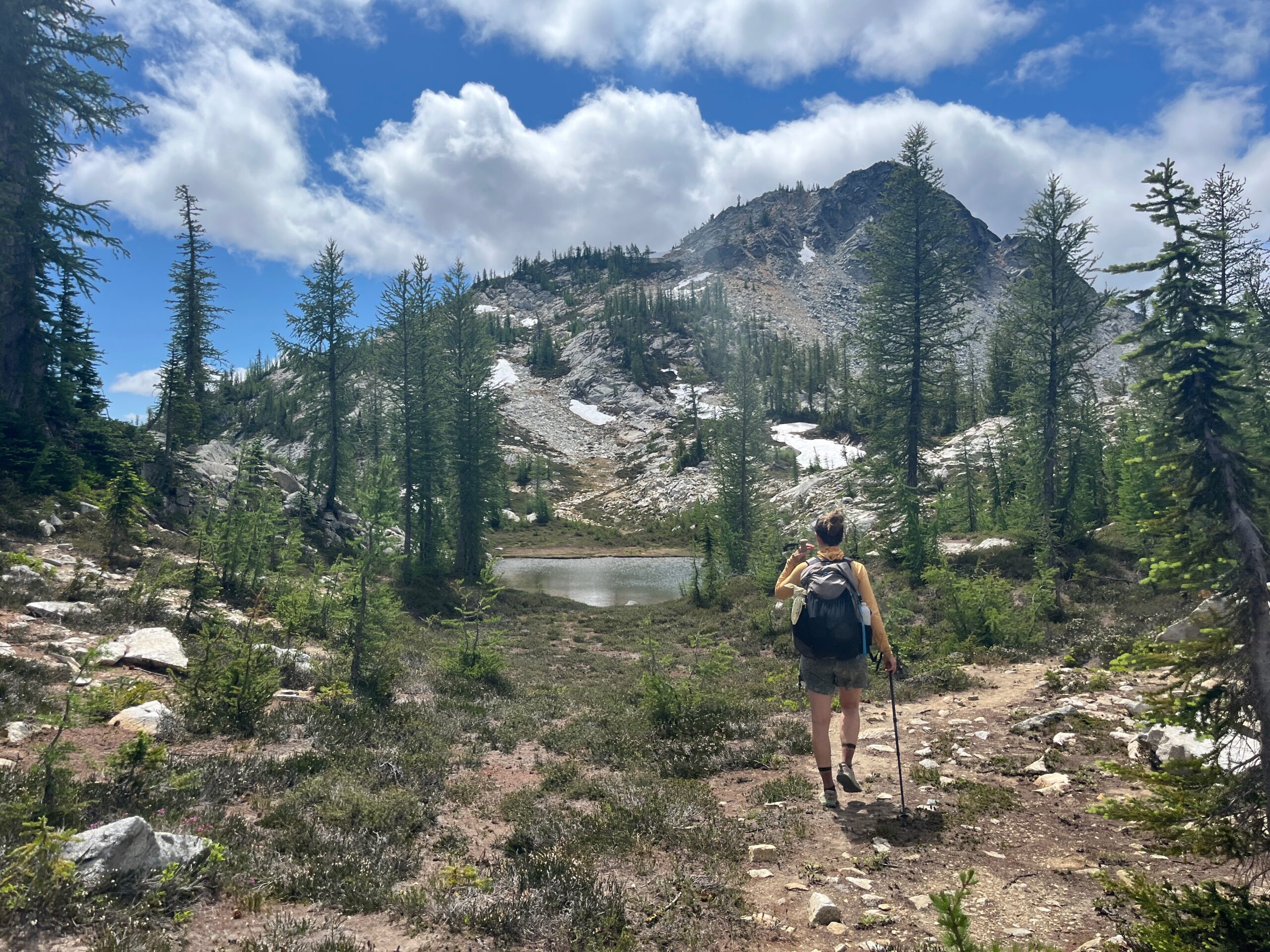
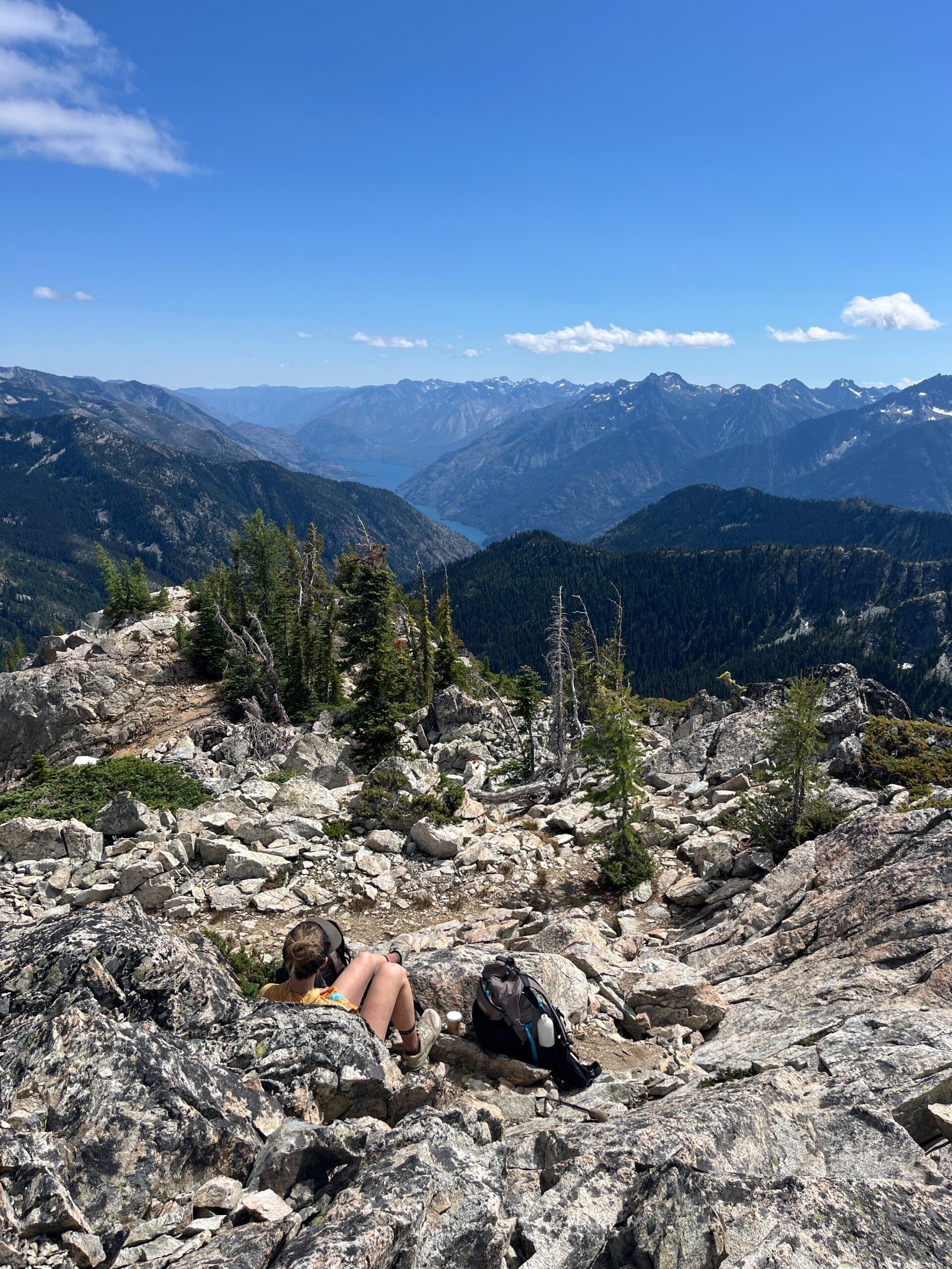
Once we hit the pass we were greeted by great views towards Rainbow Ridge and Bowan Mountain and a beautiful open meadow below us. We strolled downhill through fields of stunningly colorful wildflowers and crossed through the stock camp. When we crossed McAlester Creek we took a quick break and dipped our feet in the creek to cool off. Then, we headed down to McAlester Pass and walked the short ways to where the Rainbow Ridge trail begins. We followed a pretty well defined, but a bit overgrown, trail to a beautiful lake at 6,200′ with great swimming and camping. Then, the trail steepened up towards Rainbow Ridge, eventually opening up into a big grassy basin with a few small tarns which were also stunning. Following the faint trail we eventually found ourselves on top of Rainbow Ridge where we took a break and enjoyed the views of where we had come from and where we were going. From this spot you can see Highway 20 and Lake Chelan – that is pretty cool.
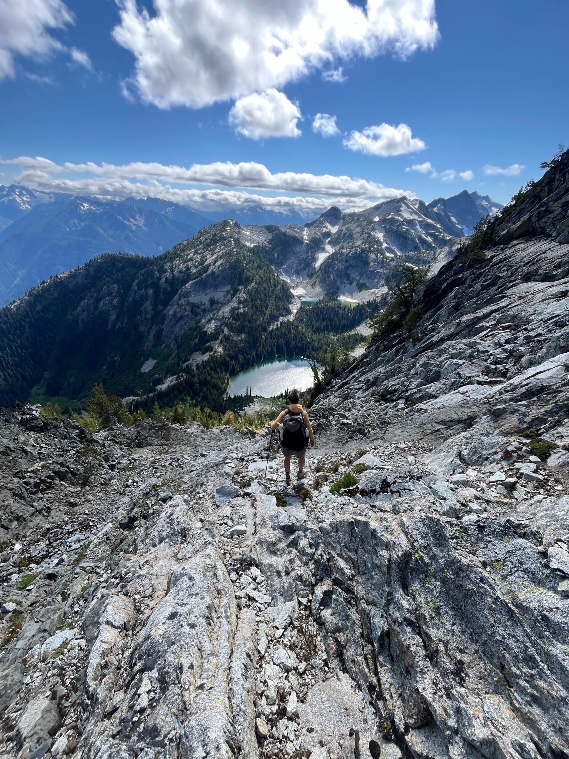
We then dropped off the west ridge of Rainbow Ridge finding our way to the north of the little tarn in the basin below. Looked like some great camping down there as well. The south shoulder of Bowan looked intimidating, with a big cornice still in place at the main pass, but we saw a little notch up and right from the main low point and it looked like a tree bench went almost all the way to it. Turned out to be an easy walk to this notch with very cool views down to Rainbow Lake.
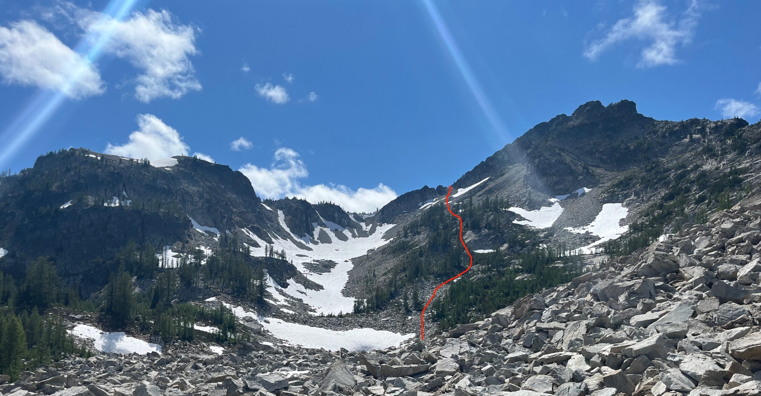
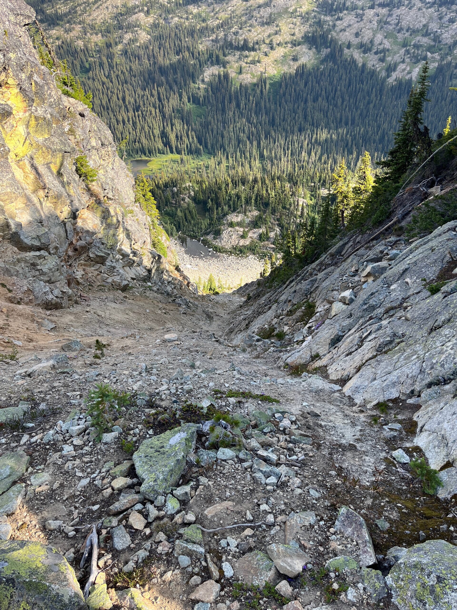
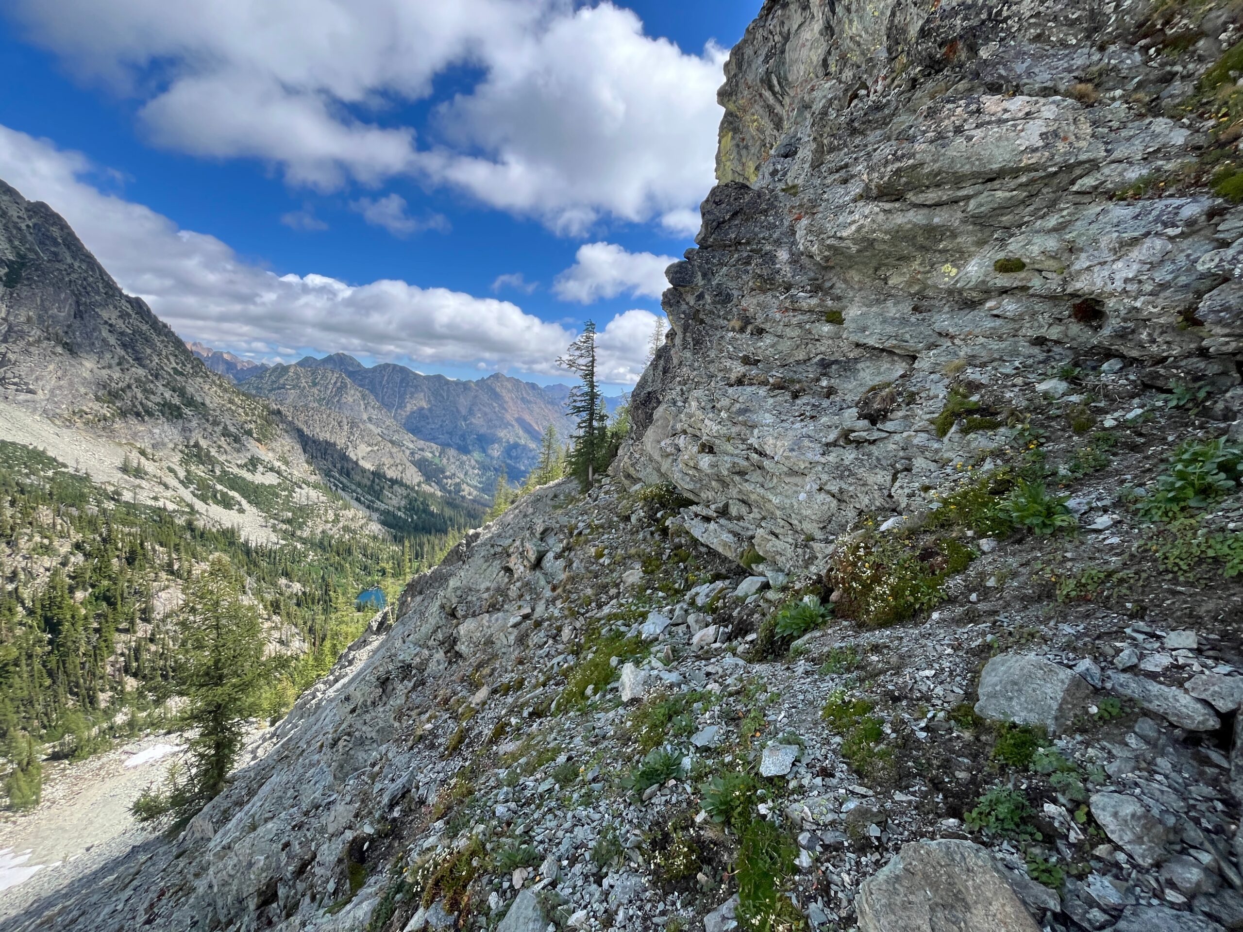
The descent down from the south shoulder of Bowan Mountain was very tedious. It was steep and felt unstable with firm ground underneath loose kitty litter. This ended up taking us about 1.5 hours. Whenever we were unsure of where to go we veered left, but always tried to make downward progress instead of going sideways. It was a lot of loose rock and we eventually hit the trail right where the switchbacks started down to the lake. Here we turned uphill, walking the few minutes to where we could take a break at Rainbow Lake Pass (we think that is what it is called?)
It was 6 p.m. at this point and we had many miles to go. We took a break, ate some food and tried to get psyched up for the long hike out. We headed down passing Dan’s Camp and some downed trees here and there, eventually hitting the PCT and walking north to Bridge Creek trailhead – arriving around 10:15 p.m.. Long day in beautiful Cascade terrain!
Gear Notes
We did not bring an ice axe or traction for our shoes and we did not feel like we needed them at any point. We wore trail runners the whole time and that felt appropriate. We did carry our overnight packs, but tried to go as light as possible.