Trip Report
Glacier Peak, Clark Mountain and Luahna Peak
Trip Overview
We were excited to get out in the mountains for the start of 2025 Summer season and Glacier Peak looked like a great place to start. We had stumbled across this trip report written by Climber Kyle about his Dakobed Range Circumnavigation and much of the information was extremely useful for parts of our trip. We were able to summit Glacier Peak, Luahna Peak and Clark Mountain while crossing the White Chuck, Gerdine, Cool, Suiattle, Honeycomb, Moth, Butterfly and Pilz glaciers in a big loop starting and ending at the White River Trailhead.
On the first day we hiked up Indian Creek to Indian Pass, followed the PCT to White Pass and then to the White Chuck Glacier to camp. Then, on day two, we summited Glacier walking down the Honeycomb Glacier and traverse under and around Tenpeak Mountain making a climb to camp and Moth Lake. Day three we travelled along the Moth and Butterfly Glaciers, summited Luahna and Clark and then made the long hike out on the Boulder Creek trail back to the trailhead.
Day 1 – Indian Pass - PCT - White Pass
Jun 13, 2025 06/13/2025
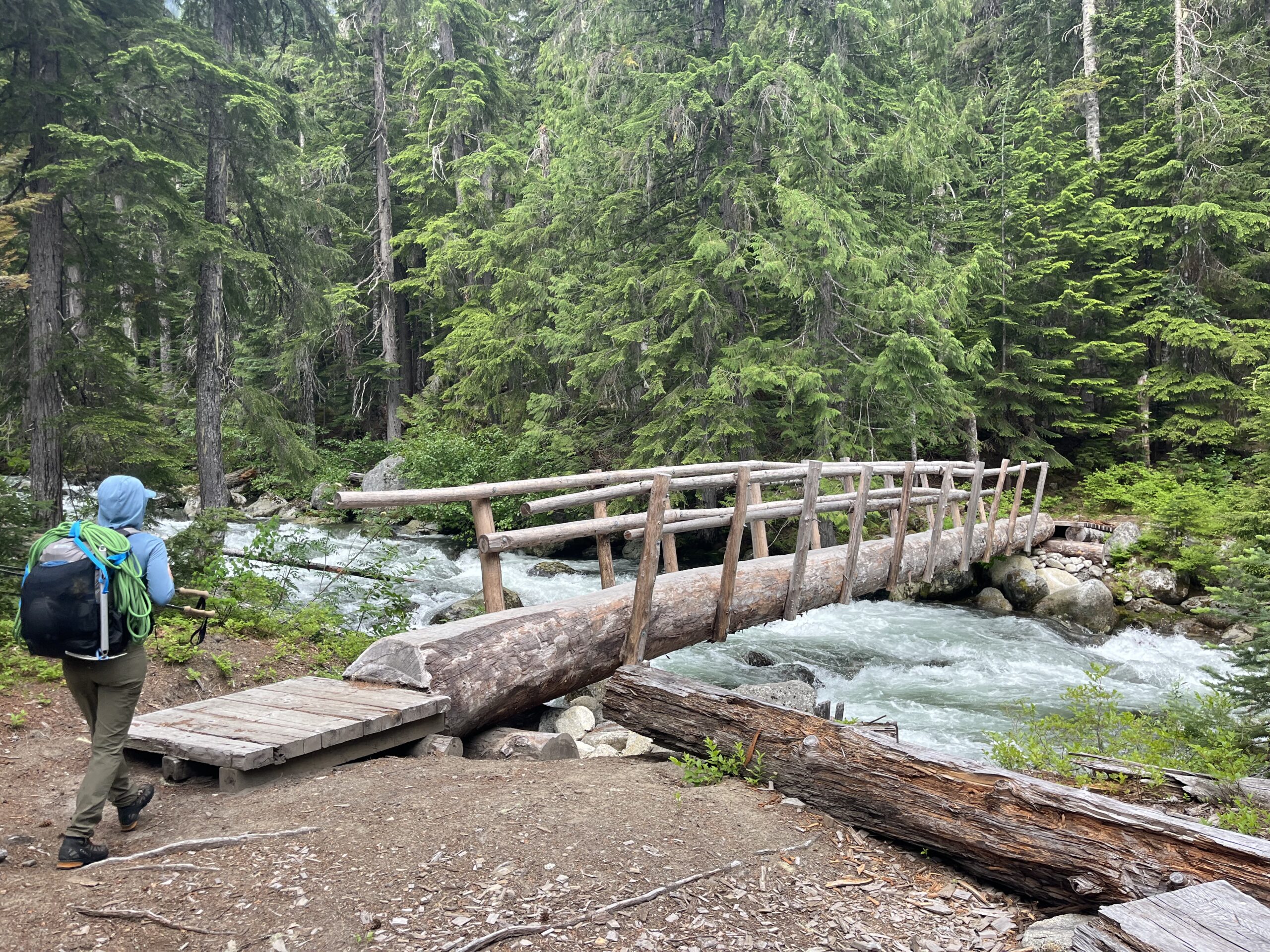
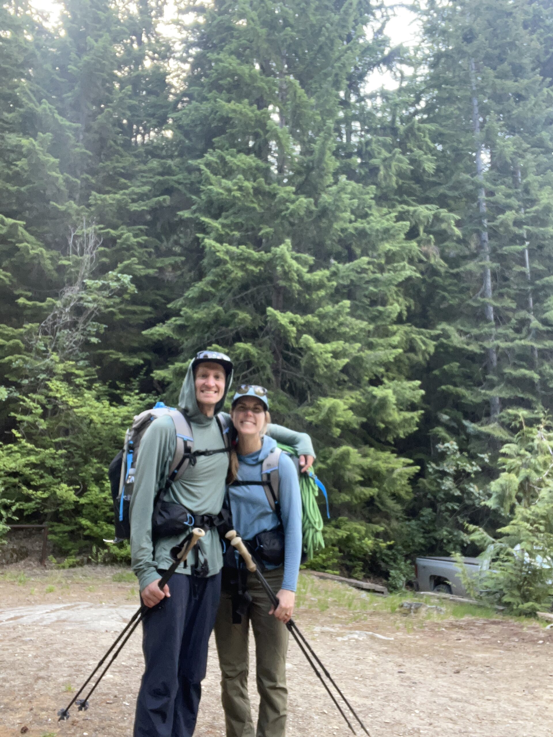
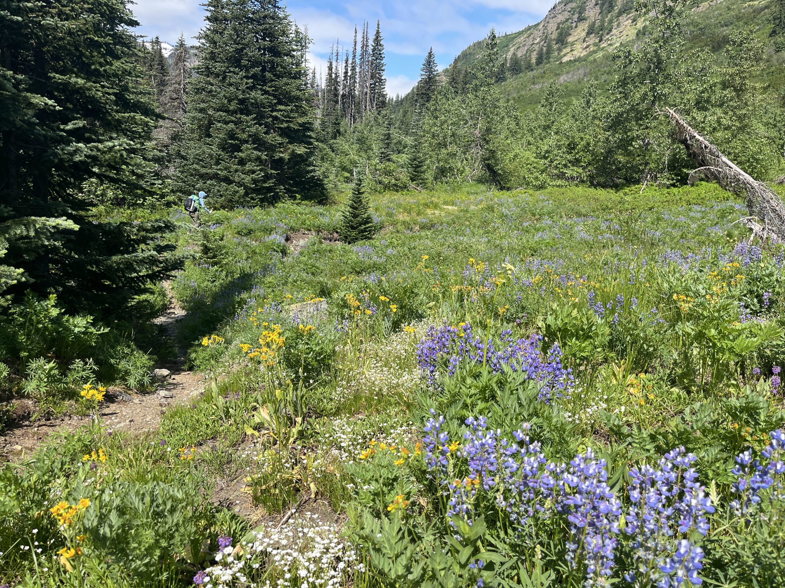
We had driven to the White River trailhead the night before and pitched our tent at the small campsite with a picnic table that is right next to the parking lot. There weren’t any cars in the parking lot and the bugs were out, so we made a quick dinner and went to bed. We woke up at first light in the morning and packed up to get hiking. We followed the Indian Creek trail for about 2.5 miles where it turned east just after crossing Indian Creek on a footbridge and started making the climb towards Indian Pass. This part of the trail was overgrown at times, but not as bad as we had expected. We passed some beautiful flowers and hit consistent snow just before we joined the Pacific Crest Trail at Indian Pass. Thankfully the snow was still firm on the somewhat overcast day, so the travel was not as tough as we thought it would be.
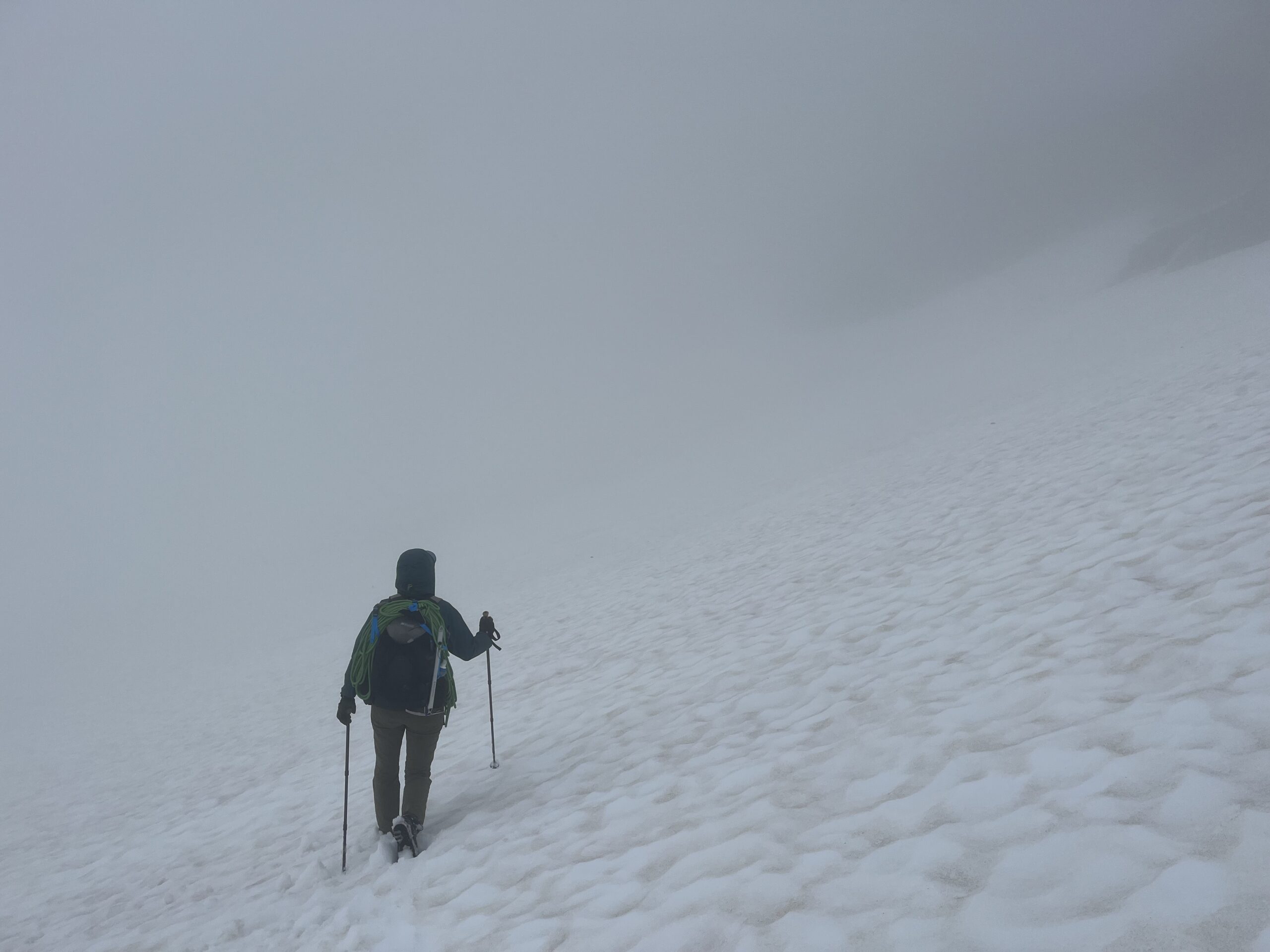
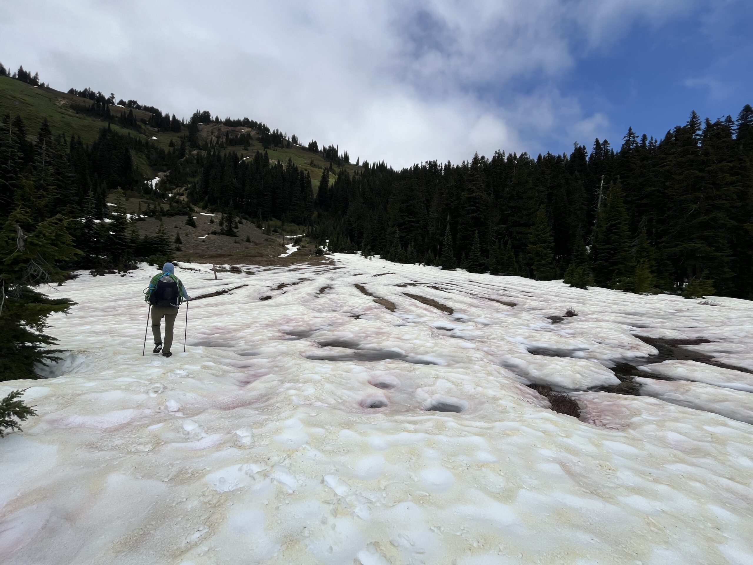
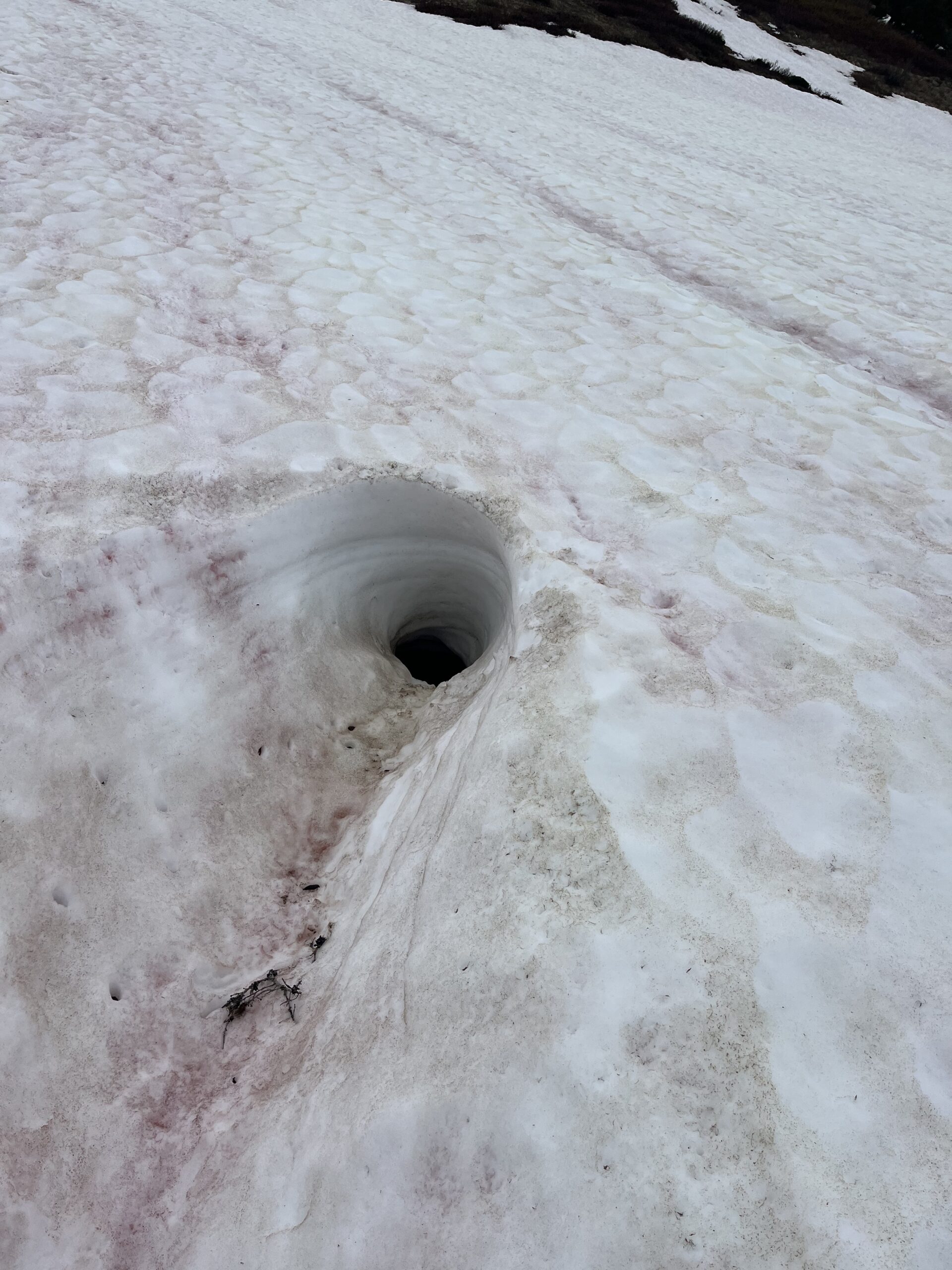
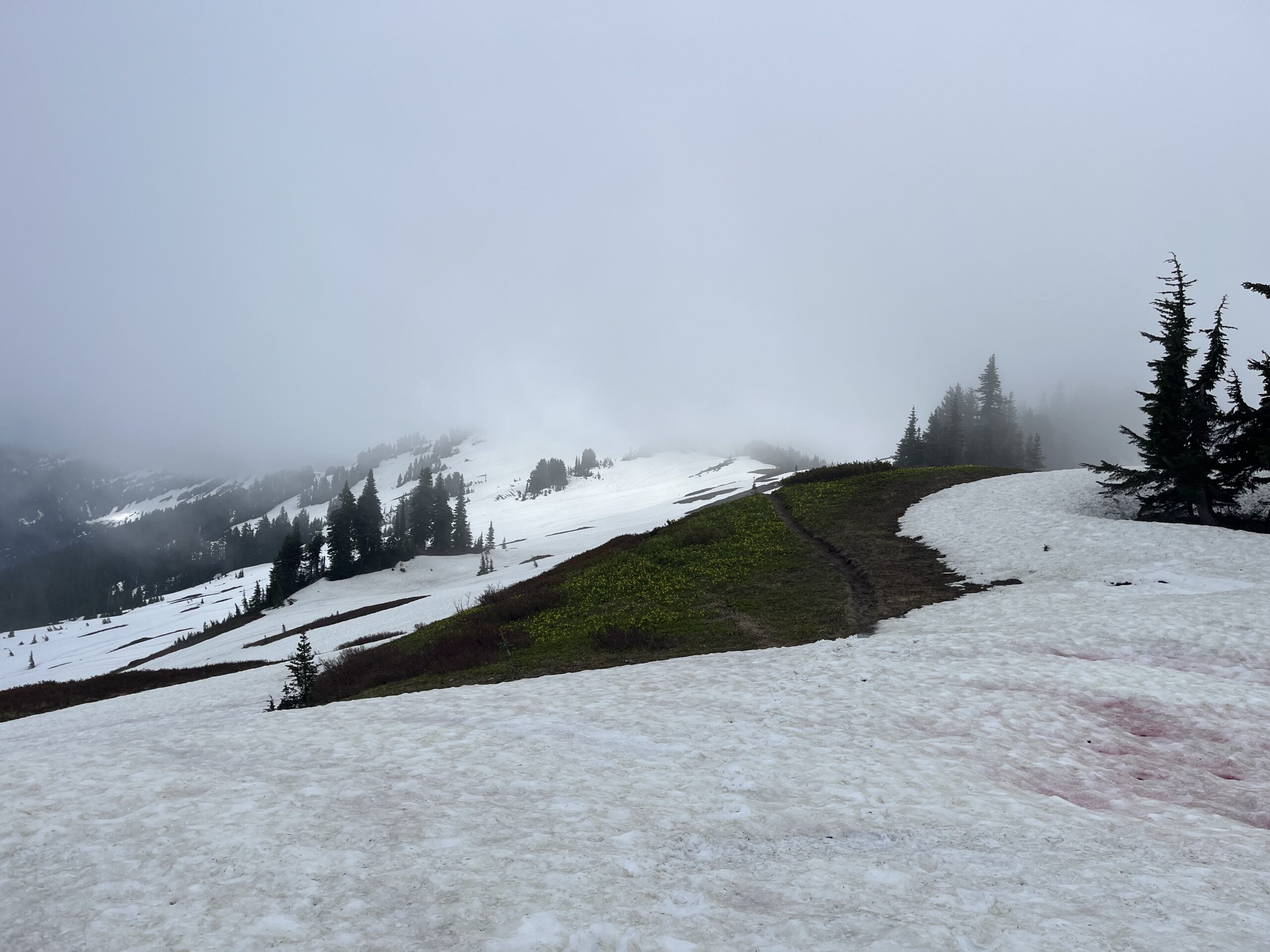
We hiked along the snow covered PCT for 4 or so miles to White Pass where we cut north east on a well defined climbers trail towards Glacier Peak. As we made our way up to the pass at about 6,600′ north east of Marmot Knob we headed straight into thick cloud cover. We had to use our phones to navigate, and we had to turn tracking off to preserve battery (hence the missing track in the map) as we were in a pretty thick white out without good visibility until we decided to make camp on the White Chuck Glacier just above 6,600′. We found a small trickle of water to the east of our camp where the slope steepened. We made dinner and went to bed and hoped for clearer skies in the morning. We were walking for about 12 hours this day.
Day 2 – Climb Glacier Peak (Gerdine/Cool Glacier) and traverse below Tenpeak Mountain
Jun 14, 2025 06/14/2025
When we woke up the clouds were still hanging around and visibility was poor, not to mention our tent was soaked from all the moisture in the air. We packed up quickly and started heading towards Glacier Cap pass. After a few minutes of walking and once we started making the climb towards the pass we broke out of the low hanging cloud layer and into some blue skies and sun. We took a quick break at Glacier Cap camp to de-layer and stash some of our overnight gear, as we would be coming back to this spot and we wanted to climb Glacier Peak with light packs.
We followed a boot pack up and over the subtle pass to the east of Glacier Cap peak and descended a short steep snow slope to a few sections of dry trail heading up the south ridge of Disappointment Peak. We traveled on easy snow on the east side of this ridge. At around 8,600′ we started making a rising traverse on the Gerdine Glacier to 9,200′ where it joins the Cool Glacier, crossing under a steep cliff with some rockfall in the snow. This is the cliff that folks mention is a rockfall hazard and I can see why. Once we gained the Cool Glacier we took the easy snow slope west up to the pass between Disappointment Peak and Glacier Peak. At about this point a solo hiker caught up to us who has started at the car that morning and we chatted and walked together for a bit as we made our way up the Glacier Peak south ridge line, eventually climbing a steep-ish snow section with a good boot pack to the summit.
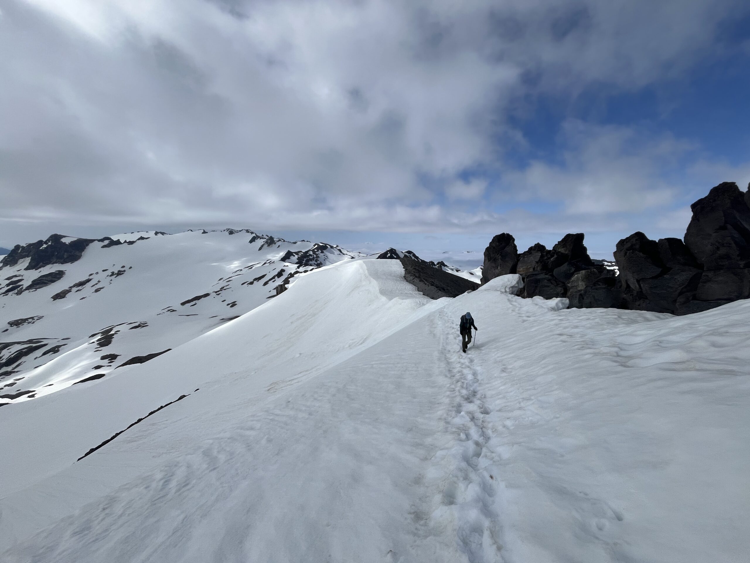
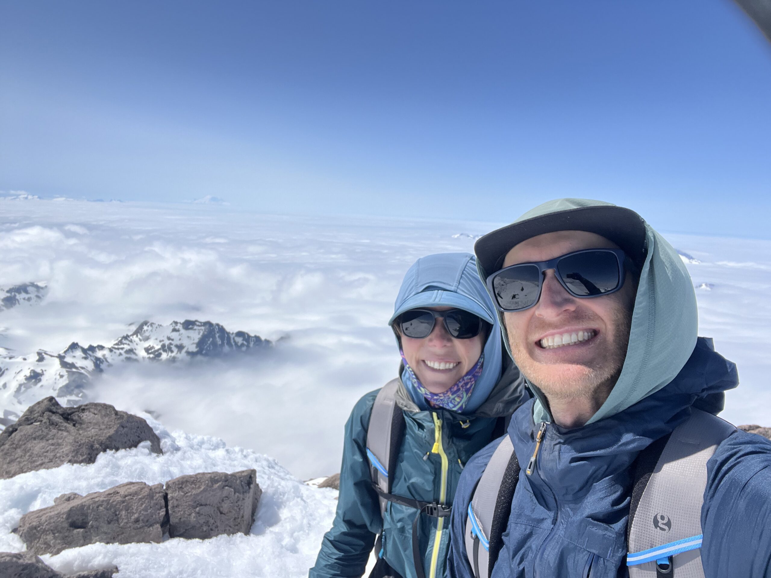
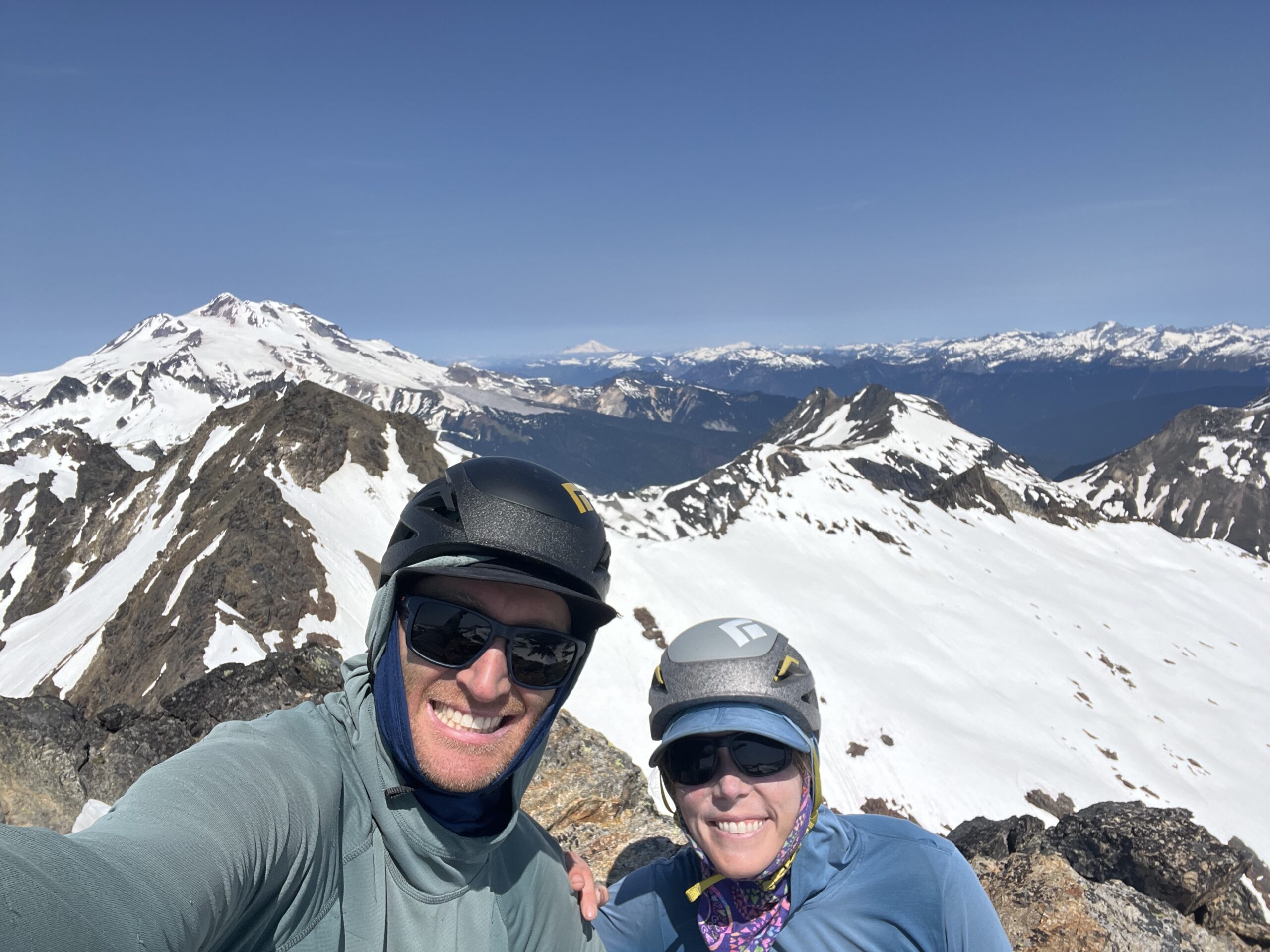
We spent a few moments on the summit and enjoyed the views of the other major volcanoes sticking up above the low hanging clouds, but didn’t hang around for too long as it was a bit windy and cold. Then, we retraced our path all the way back to our stuff at Glacier Cap camp passing a group of three other folks who started at the trail head that morning.
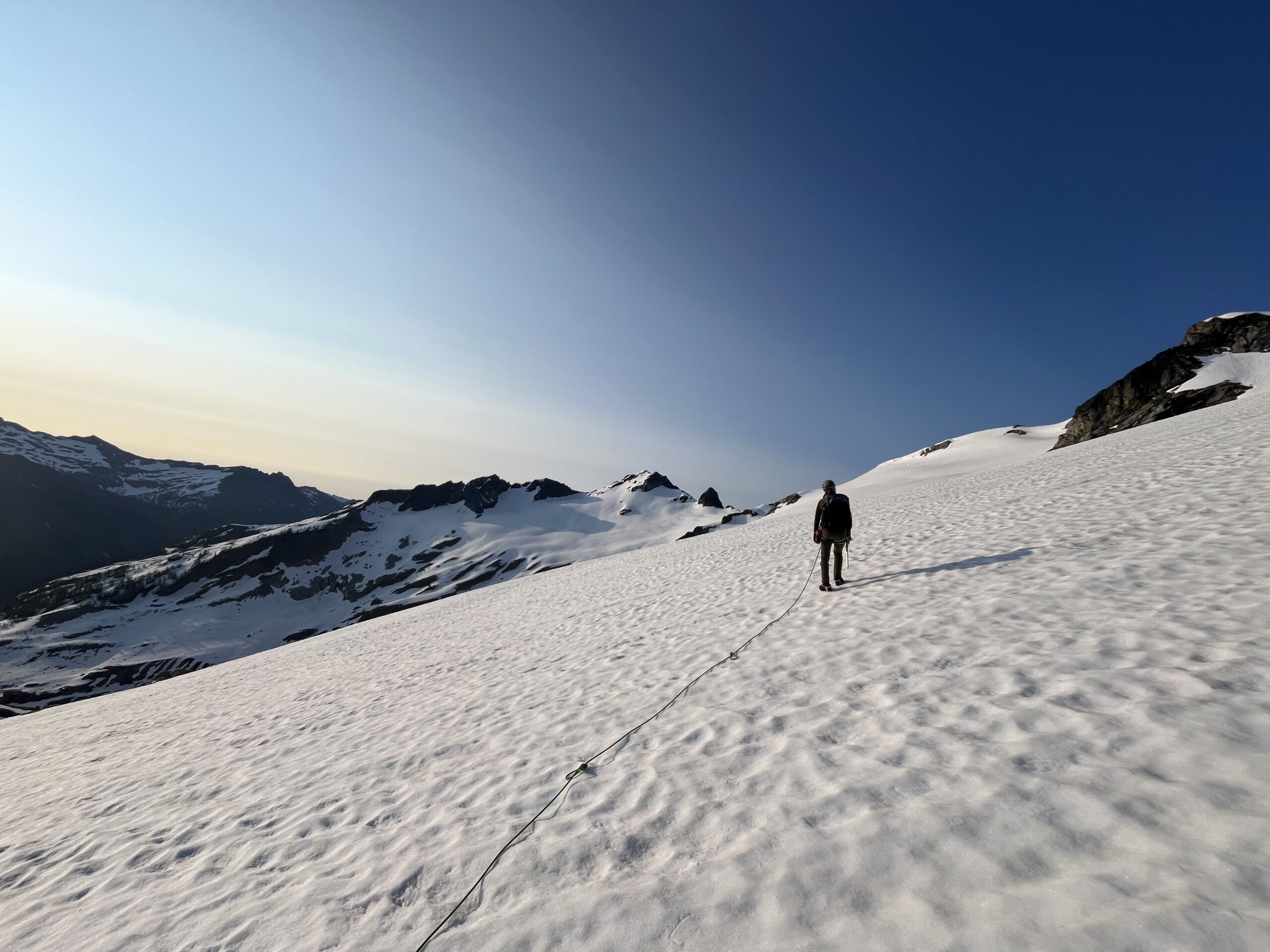
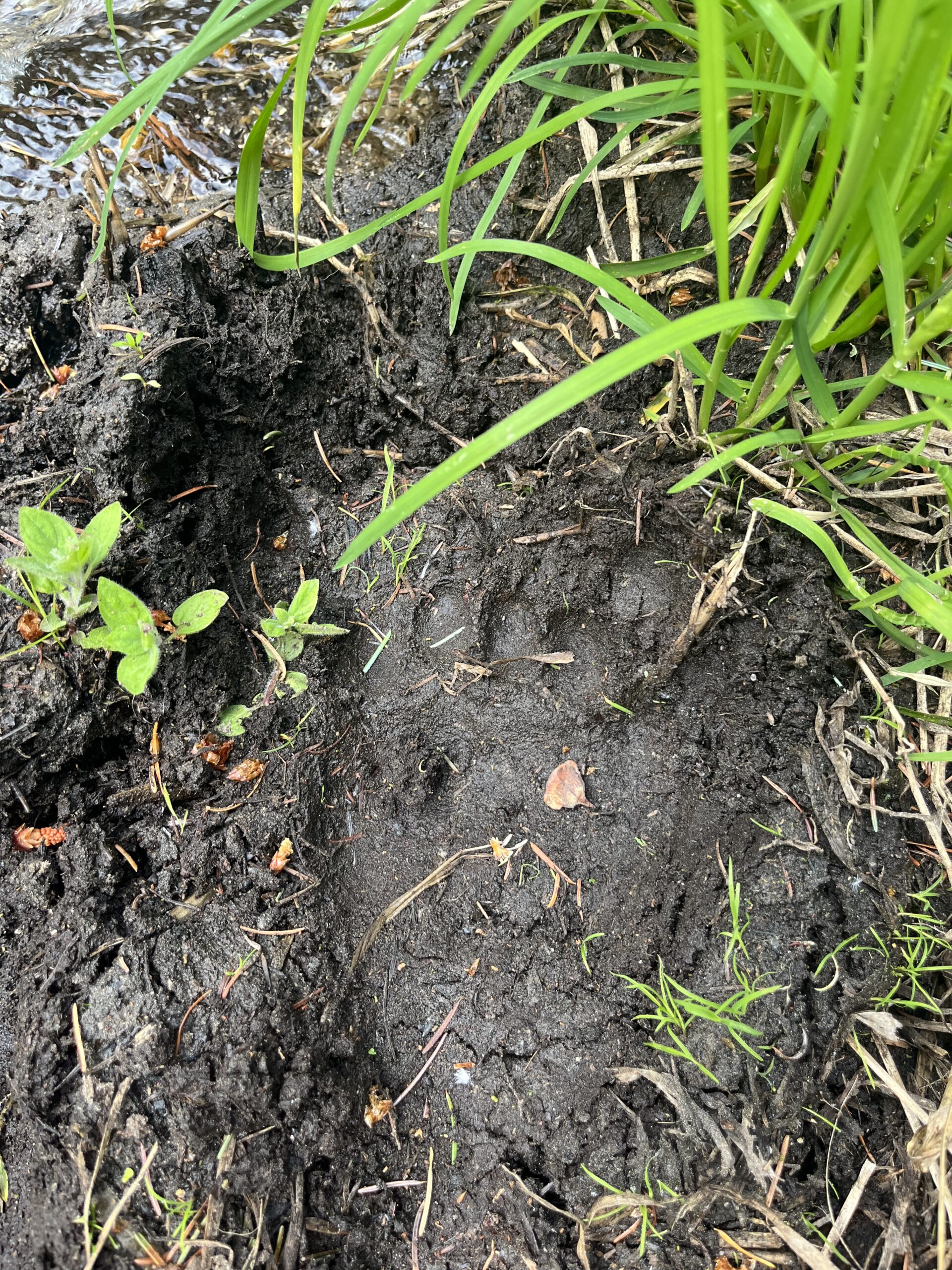
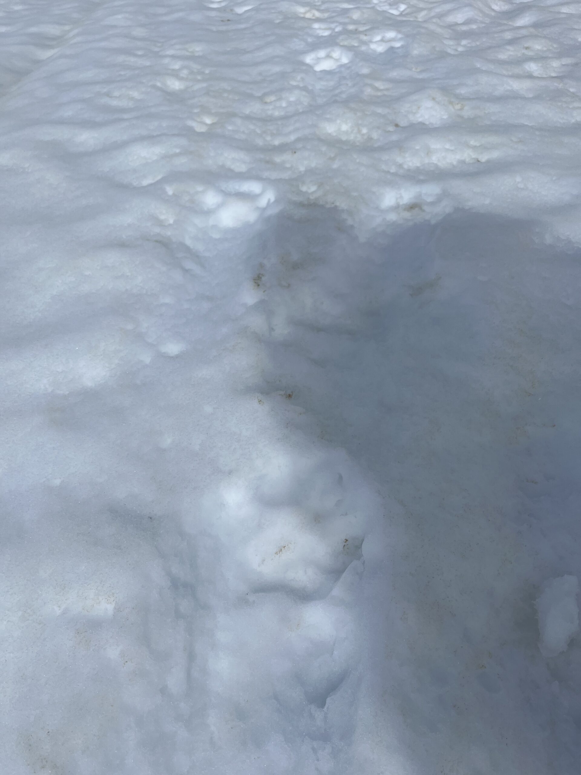
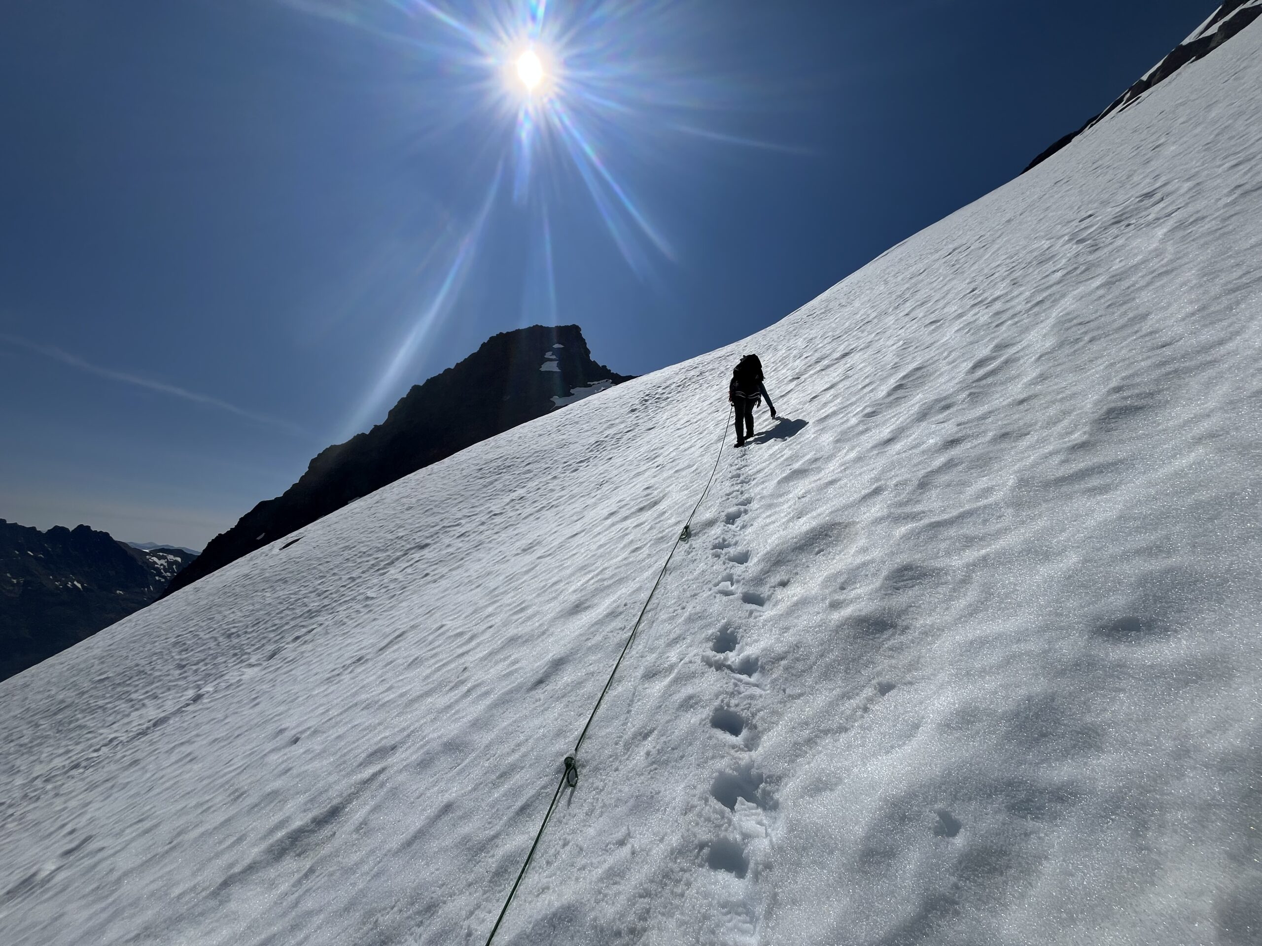
We took a long break at Glacier Cap camp, ate a snack and used the warm sun to dry out our shelter from the soggy night that it had been through, getting it mostly dry! Then, we roped up on some snow and headed off across the Suiattle Glacier. The snow had softened up quite a bit making the travel a but post holey, but it was beautiful. While crossing the Suiattle we stepped over some bear prints in the snow – very cool! We traversed the Suiattle Glacier and just below and north of Point 7941 gaining the Honeycomb Glacier around 7,400′.
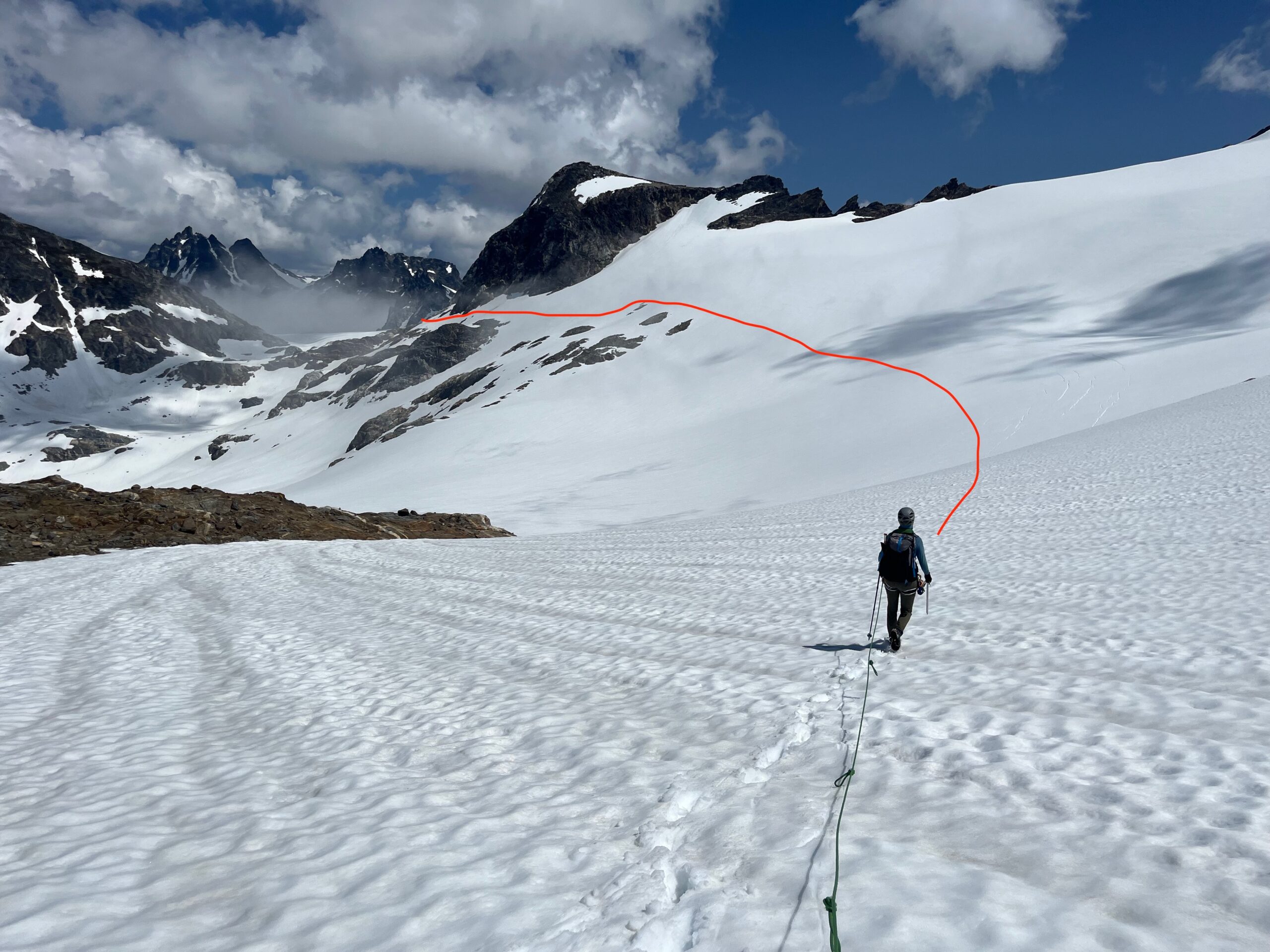
Then, we enjoyed the easy downhill travel on the beautiful and open Honeycomb Glacier, eventually gaining a bench just above 6,000′ that took us to a large flat spot just above the tairn east of Point 5807. We took another break here and talked about where we should head next.
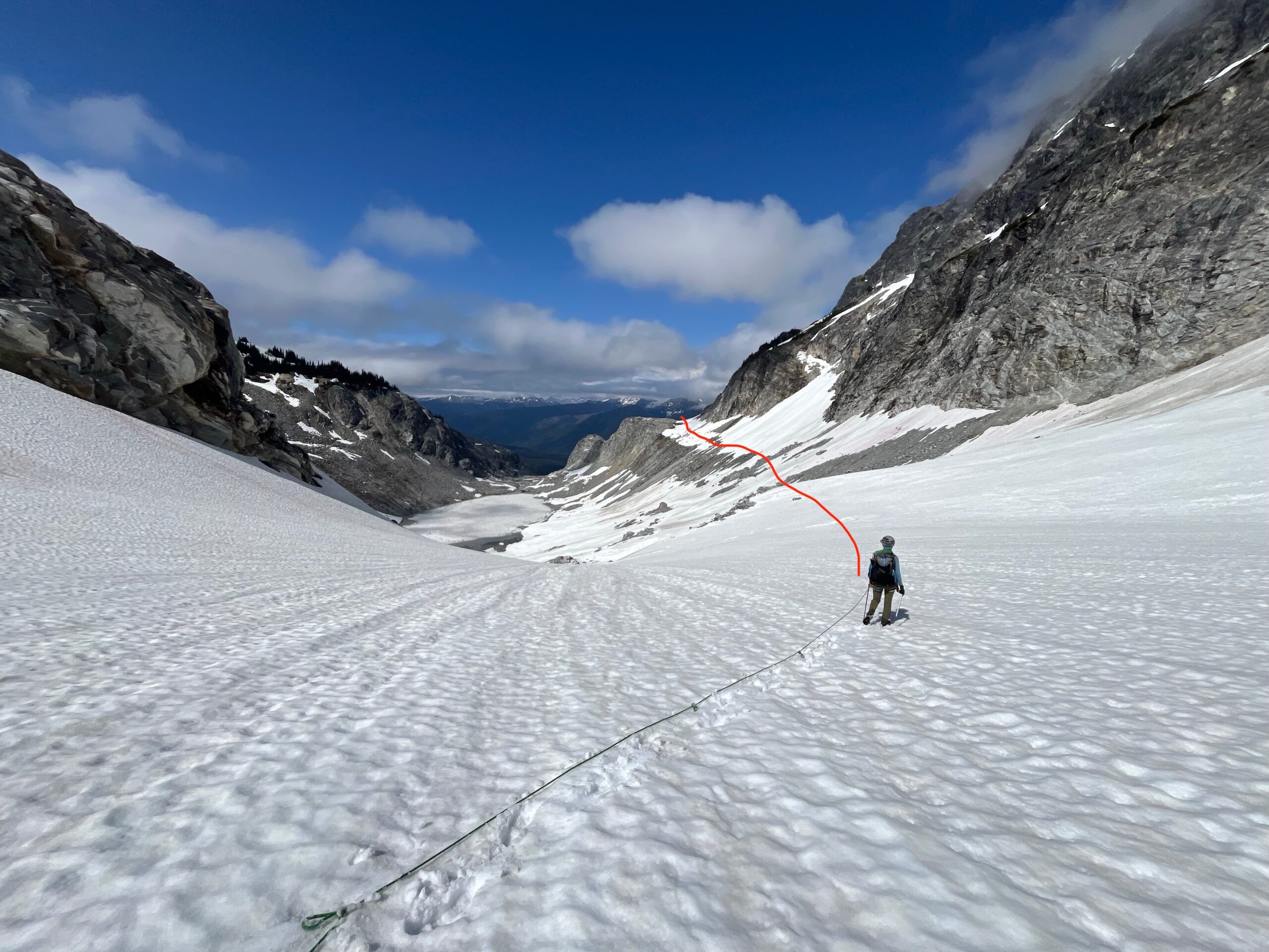
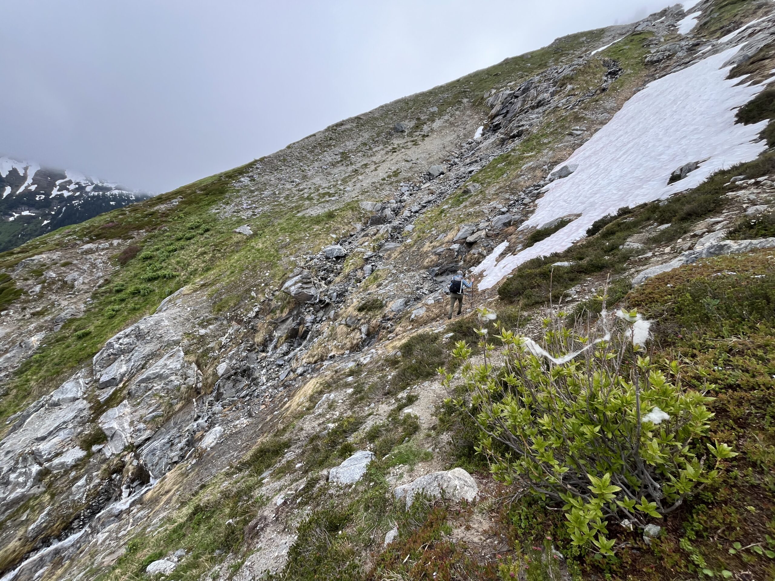
We dropped down to around 5,600′ walking pretty closely to the tairn we could see from our break spot. Then, we made a very gradual rising traverse to around 6,000′ on grassy slopes, steep-ish talus and some open snow patches. At around 6,000′ feet we turned south east and made a steep ascent of about 400 feet to a bench with a small camping spot just above the snow covered Moth Lake for around 12 hours of moving time. We made dinner and went to bed tired with anticipation of what tomorrow would bring.
Day 3 – Climb Luahna Peak and Clark Mountain
Jun 15, 2025 06/15/2025
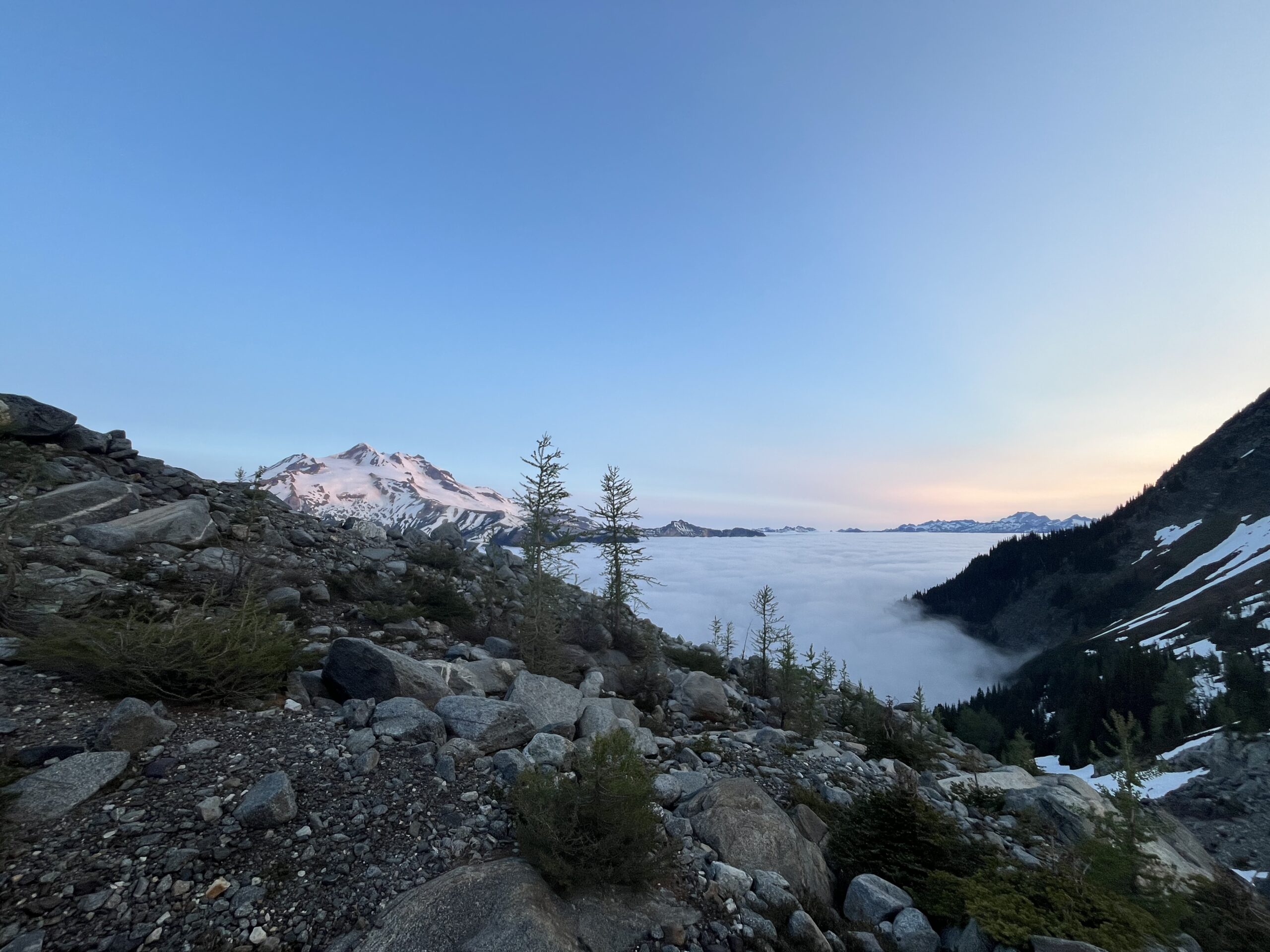
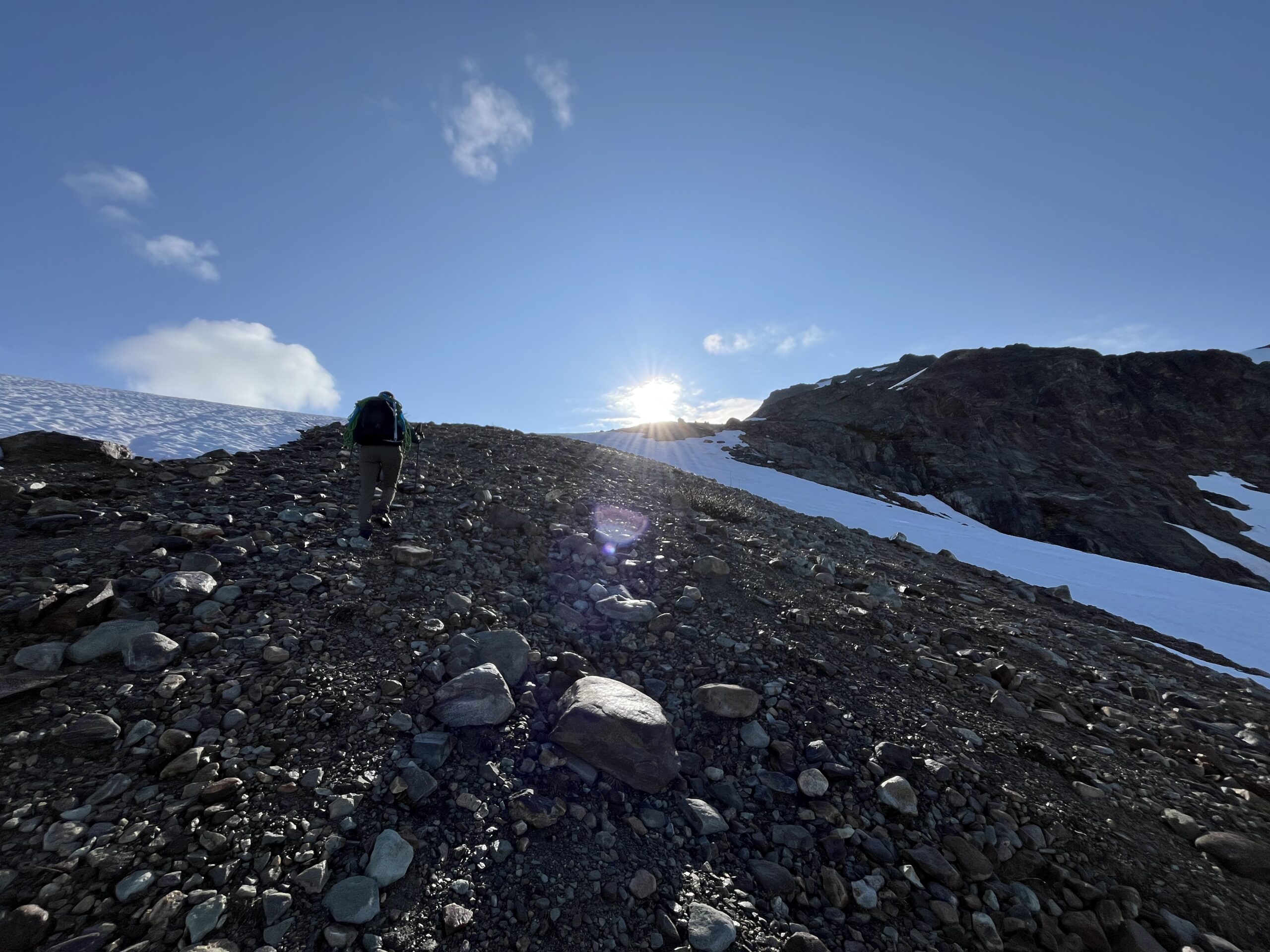
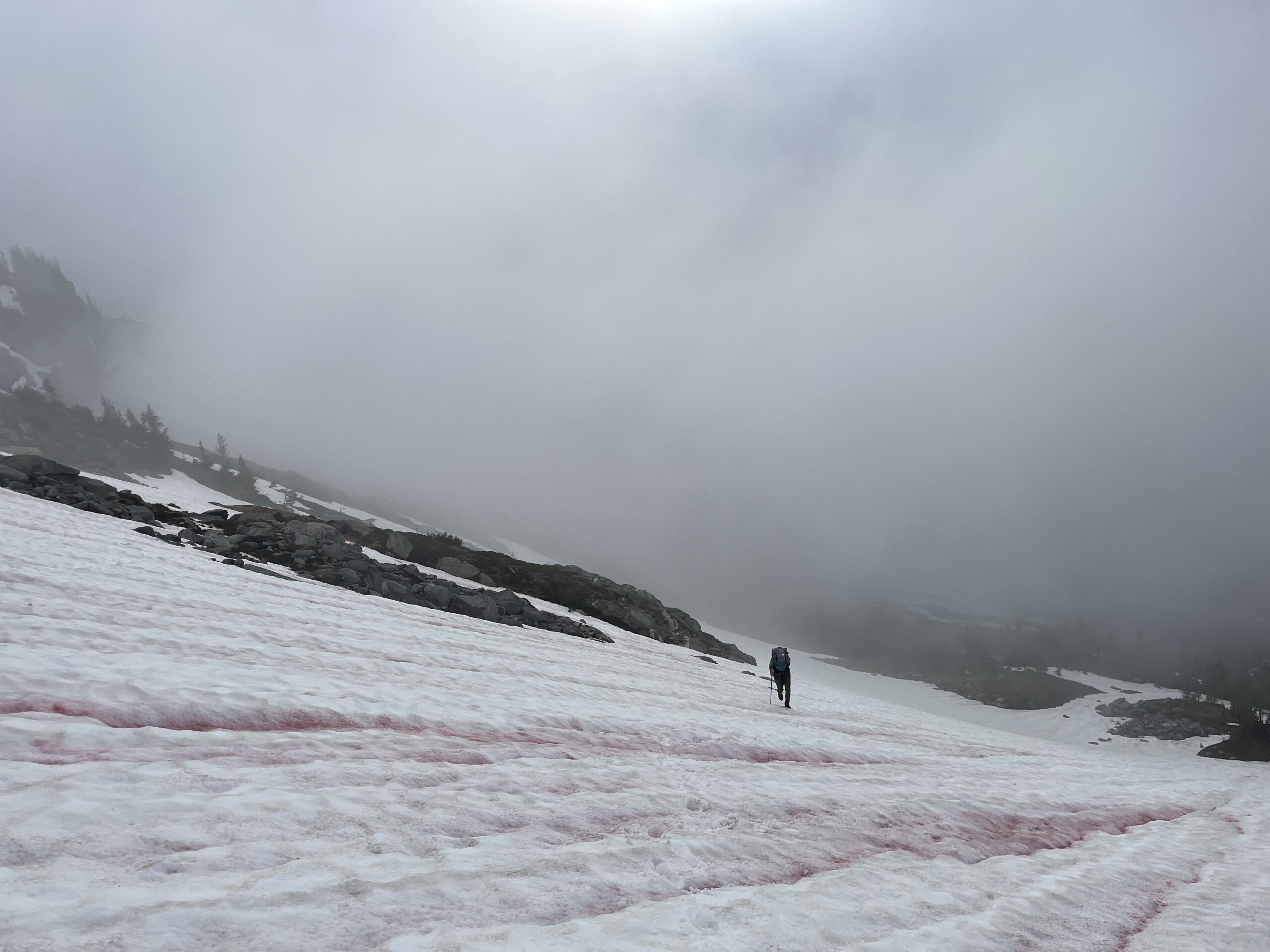
We woke up to a beautiful sunrise over Glacier Peak and the clouds were hanging low in the valley making for some awesome pictures. We following the ridge line west of Moth Lake up and onto the Moth Glacier. We traversed the Moth Glacier between 7,400′ and 7,600′ and at one point early on got caught to high and had to backtrack lower to 7,400′. Part way through the crossing of the Butterfly Glacier we made our way over a small rock rib on some snow right around 7,600′ and then climbed up to the pass between Chalangin and Peak 8022. There was great snow coverage on the Moth and Butterfly Glaciers which made travel fairly straight forward.
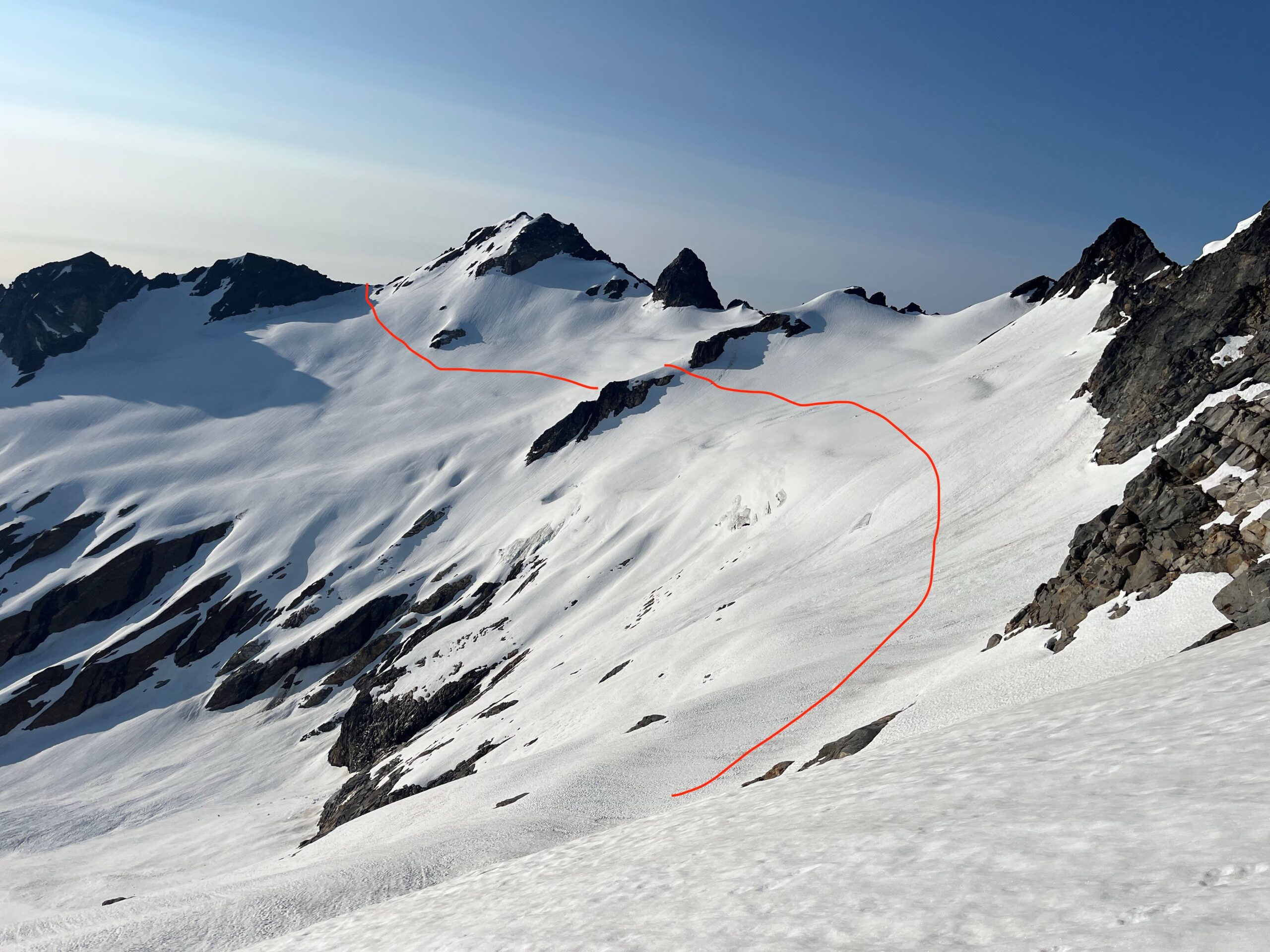
At the pass we made a traverse over to the pass between Chalangin and Luahna Peak that required a bit of steep snow at the top, but at that point the snow was soft enough that it wasn’t so bad. We had read some information that the east ridge of Luahna Peak was a cool scramble. We took a break at the notch and took a moment to look up at the ridge line. It looks pretty steep and loose to use and we were not feeling super psyched about doing it with our full packs with the rope and all our gear. We had brough the Beckey information on Luahna Peak and knew there was a route up the peak on the Pilz Glacier, so we made the quick decision to go that way and see if would work out better for us, though we knew that way had to work out as there was no turning around.
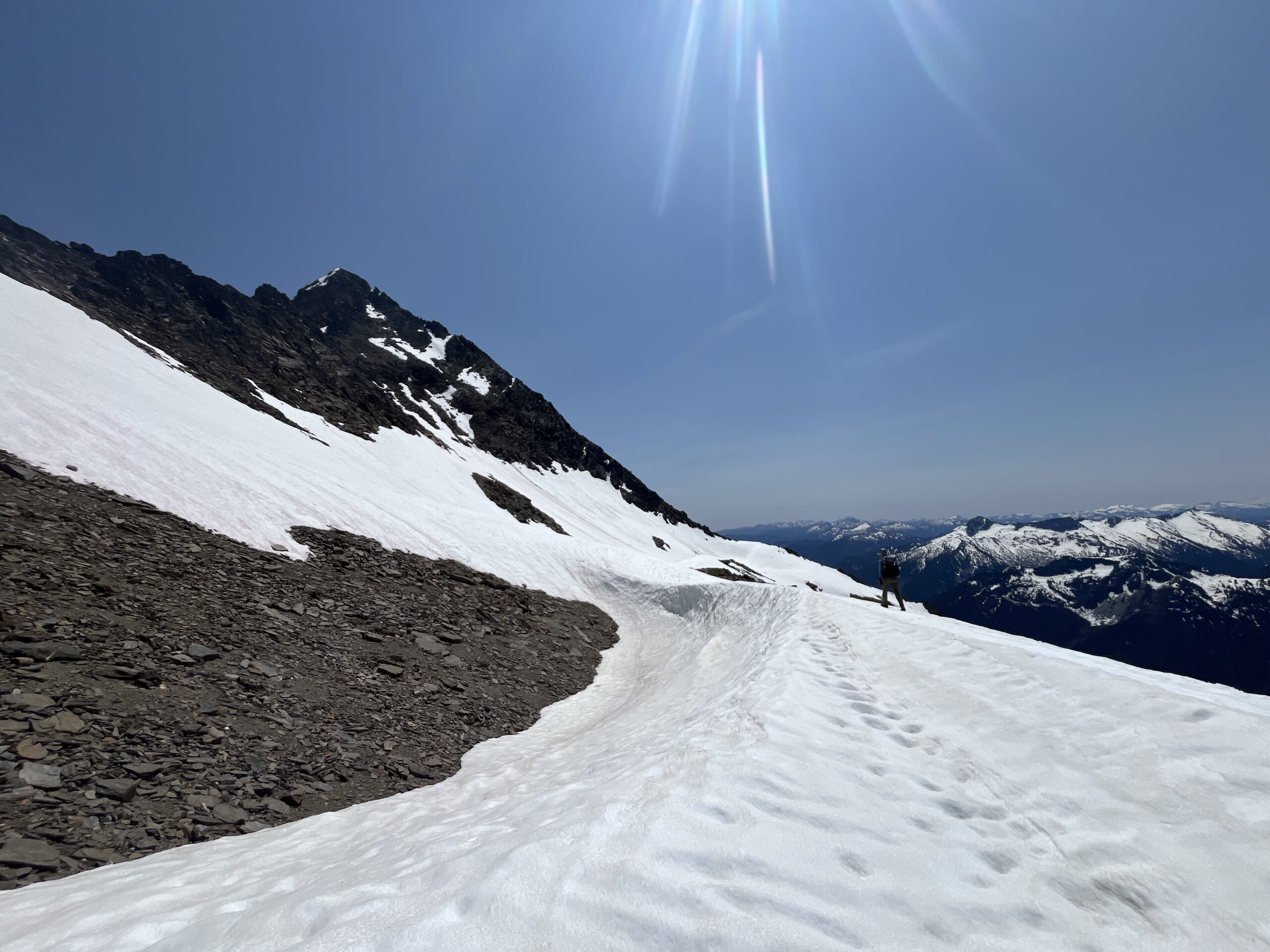
We scrambled back down and onto the Pilz Glacier, getting some glissading in to around 7,400′. Here, we turned and headed up the glacier to the notch east of Luahna Peak. We climbed some steep snow on the south side of Luanha peaks east ridge line almost gaining the ride line proper. We stayed on snow most of the time, but there was one steeper rock section that required a short climb-ey move. We made it to the summit and took a break on top as we enjoyed the view towards Glacier Peak.
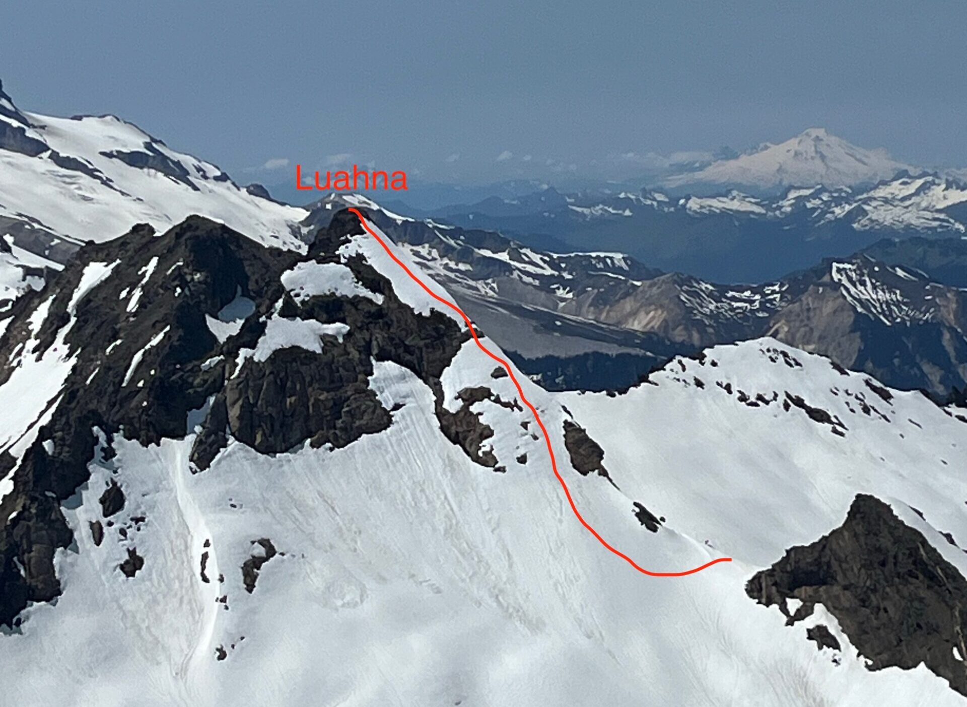
Then, we descended off the summit off the west side following shelves and benches. At a few points we did have to make some fairly exposed moves to get past a couple steps, but the rock felt fairly solid. Then we made a traverse at about 7,600′ around Peak 7969, gaining a flat open bench from the notch just east of the peak and followed that to south west ridge line of Clark Mountain. We continued to stay just below 7,600′ as we traversed to the south east ridge line. The travel between these two ridge lines felt tough, but we couldn’t tell if it was just because we were tired. Then, we debated whether or not leave our gear and scramble up to the summit of Clark or to bring it with us. We opted to bring it with us in the hopes that we could glissade down the snow to get off of Clark Mountain. On the summit we ate a snack and took a moment to look back at the route up Luahna we had just climbed. It looked much more extreme from here than it felt actually doing it.
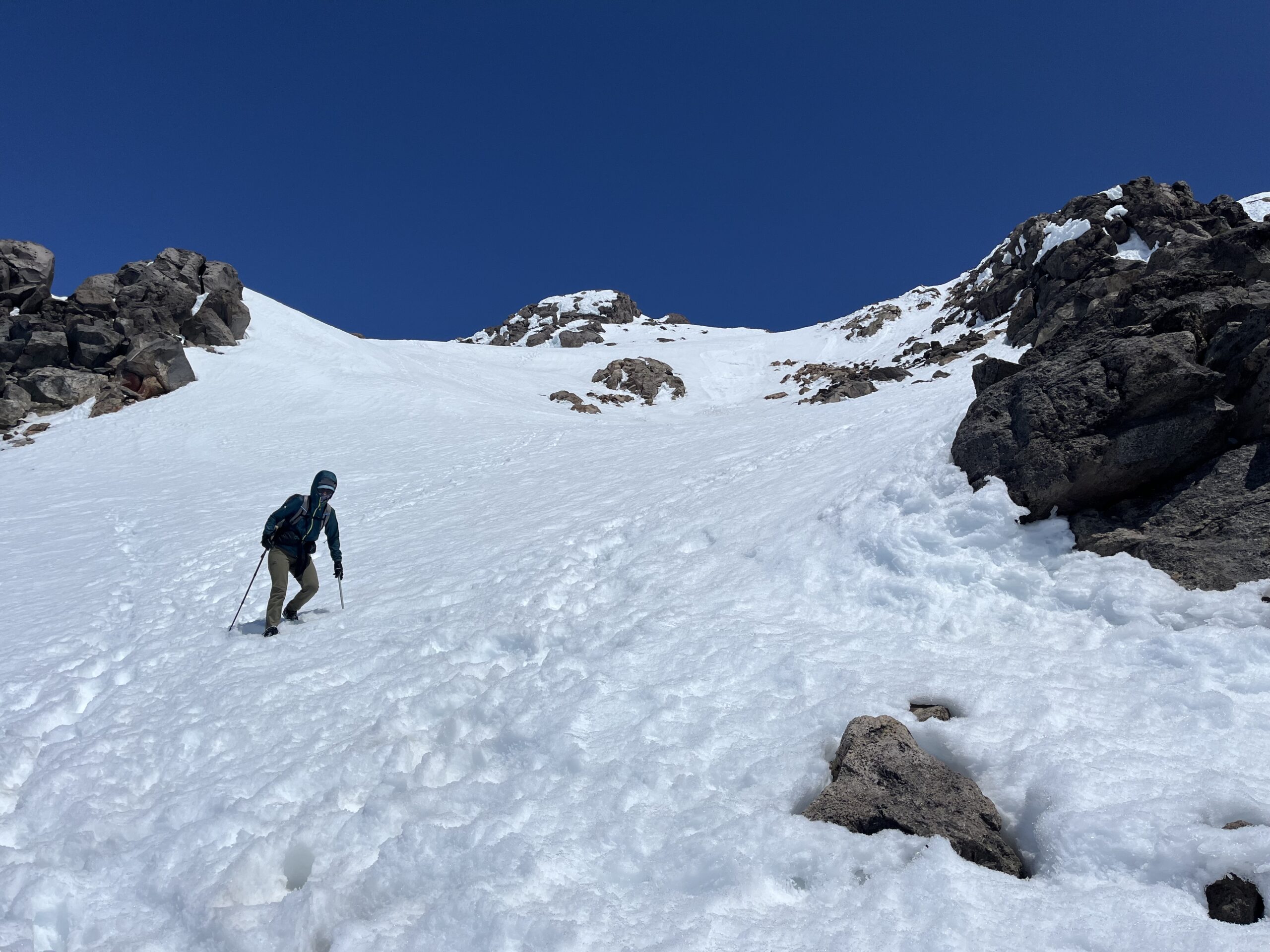
We were able to glissade down the broad south east slope of Clark for a long ways so that was a welcomed relief to the travel we had been doing all day. We could see the notch/gully that we needed to climb up to gain the south ridge of Peak 8373 and it was filled with snow and looked pretty steep. We made our way across and down a bit eventually making a sandy scramble up in between the rock and snow on the left side of the gully. We roped up and led a short snow pitch across as the gully was steep and firm snow. Making it to the ridge line was a bit of a relief as we knew it was all downhill from here and we were getting close to hitting a proper trail.
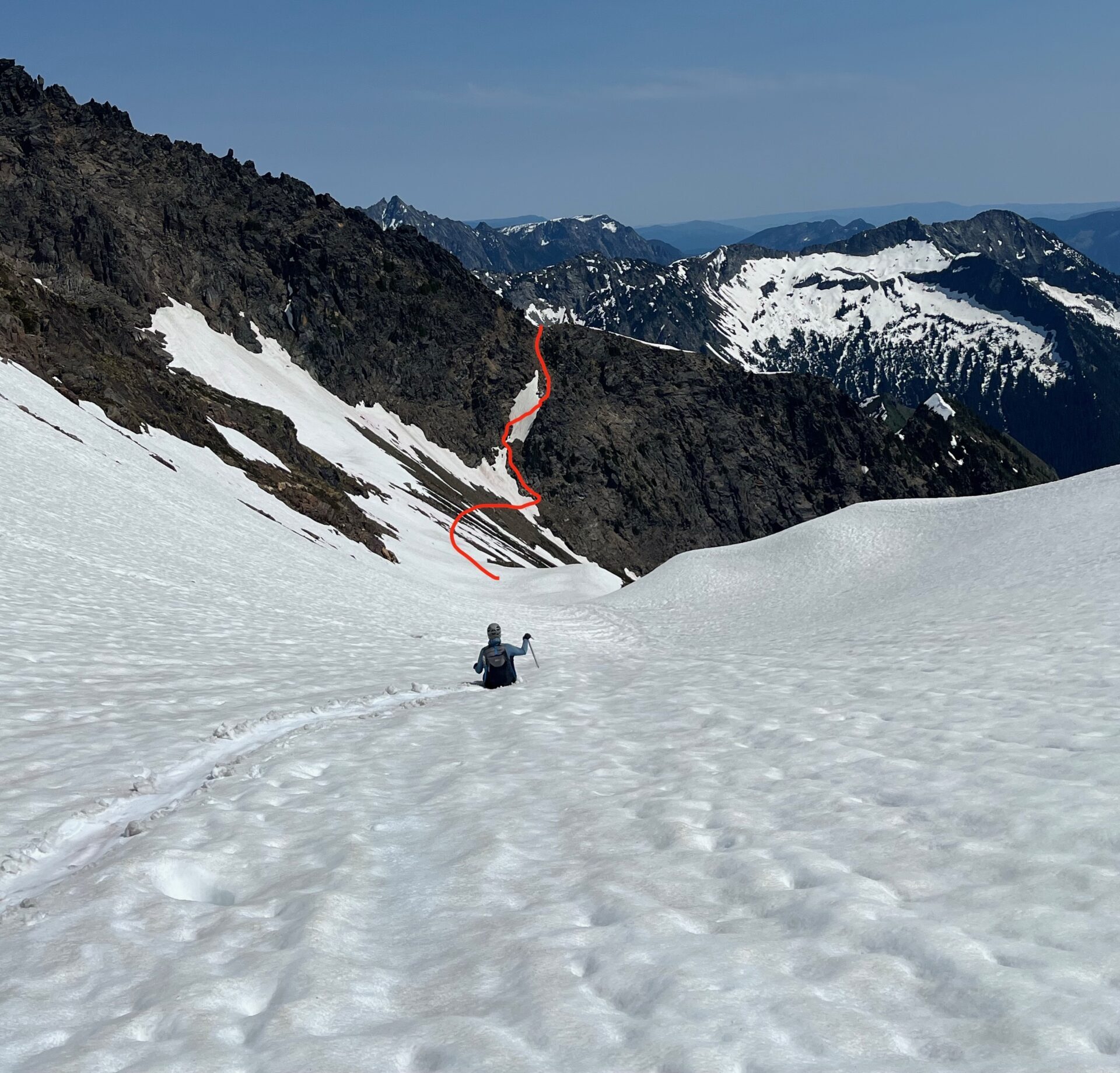
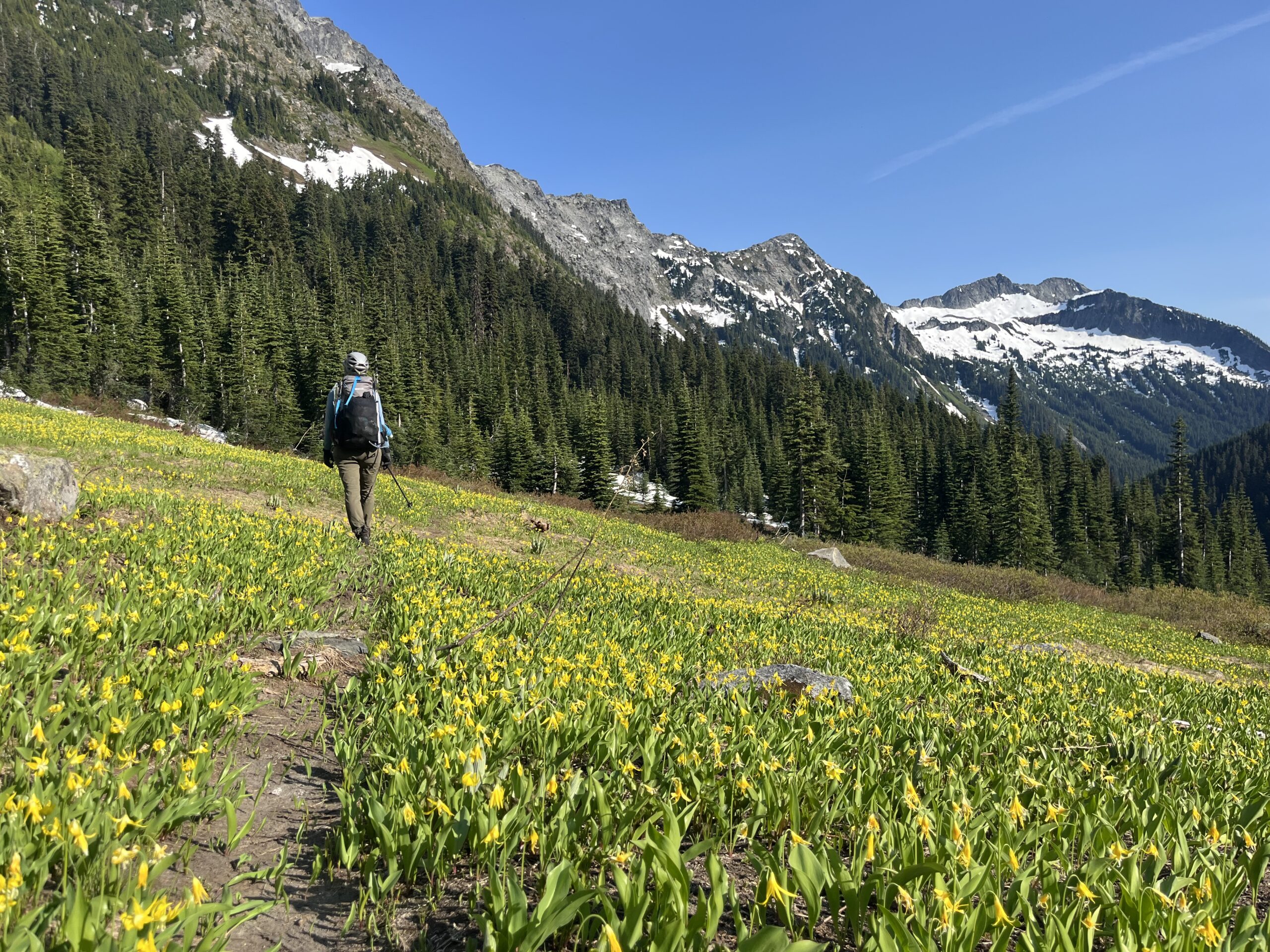
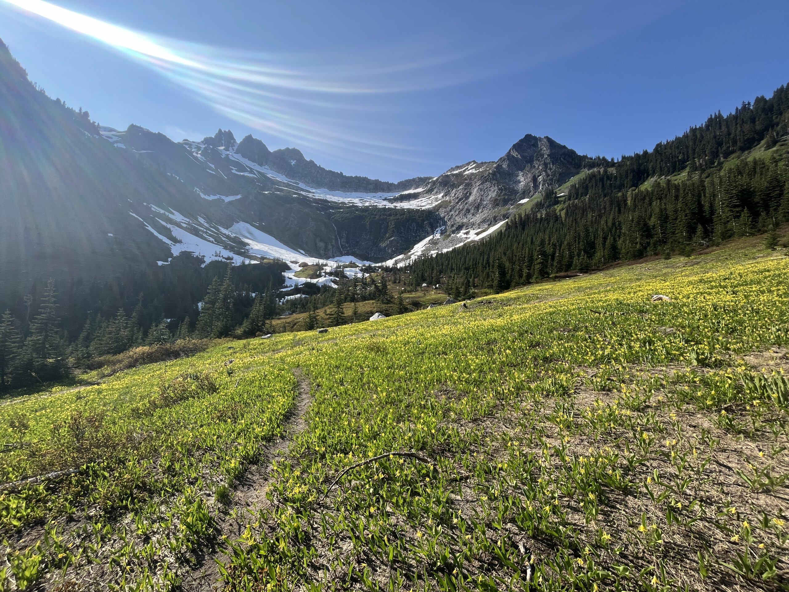
At this point it was getting very late in the day and we knew we would not make it back to the car until late. We followed the ridge line for a bit and then dropped east until we were able to pick up traces of the Clark Mountain trail. This took us down to the Boulder Creek/Pass trail where we saw some great fields of Glacier Lilies. This dropped us all the way down to the White River and then we walked the remaining 4.5 miles back to the trailhead in some of the worst mosquitoes we have ever experienced. We ended at our car for a 16 hour day and drove home that night getting home at 1 a.m.
Gear Notes
We carried all of our overnight backpacking gear, a 60 meter rope, harness (and crevasse rescue gear), helmet, ice axe, crampons and one picket each. We each wore a pair of lightweight mountain boots.